Gear Review | Aeropress Go Coffee Maker

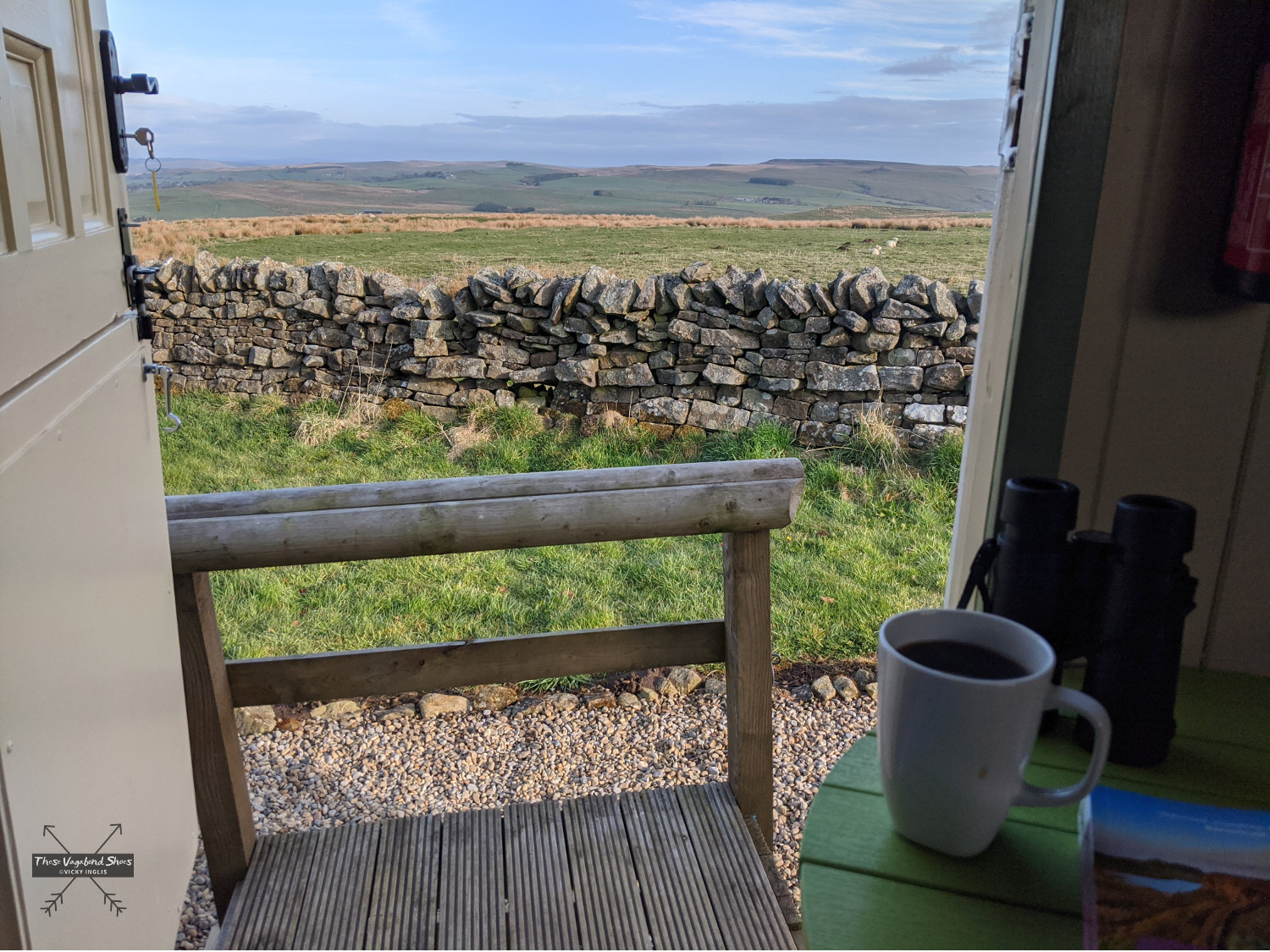
Starting my day with a coffee is really a non-negotiable, and where possible it has to be freshly-brewed real coffee. When I’m backpacking I enjoy taking my time over a good coffee in the morning. It gives me the opportunity to spend a few moments preparing for the day ahead, going over the route for the day, assessing the weather conditions, and reflecting on how things have gone the day before. It’s a wee bit of time for appreciating the place I’d spent the night, and a little bit of luxury to keep morale going when the weather looks grim, or there’s a tough day in the schedule.

Waking up to a freshly brewed coffee on a winter camp by the coast

What am I looking for in a travel coffee maker for backpacking trips? It should be simple to use and easy to clean afterwards. It should be lightweight and small enough to pack into my travel bags, and robust enough to handle being stuffed into a rucksack. And the coffee has to taste good.

How I tested the Aeropress Go

I borrowed an Aeropress Go from my friend Josh to make a round of coffees for our group as we travelled back from South Georgia to the Falkland Islands on a Royal Navy ship, and was so impressed that I ordered one for myself once I got back home. When it arrived, I tried it out immediately in my kitchen and it quickly became part of my morning routine.

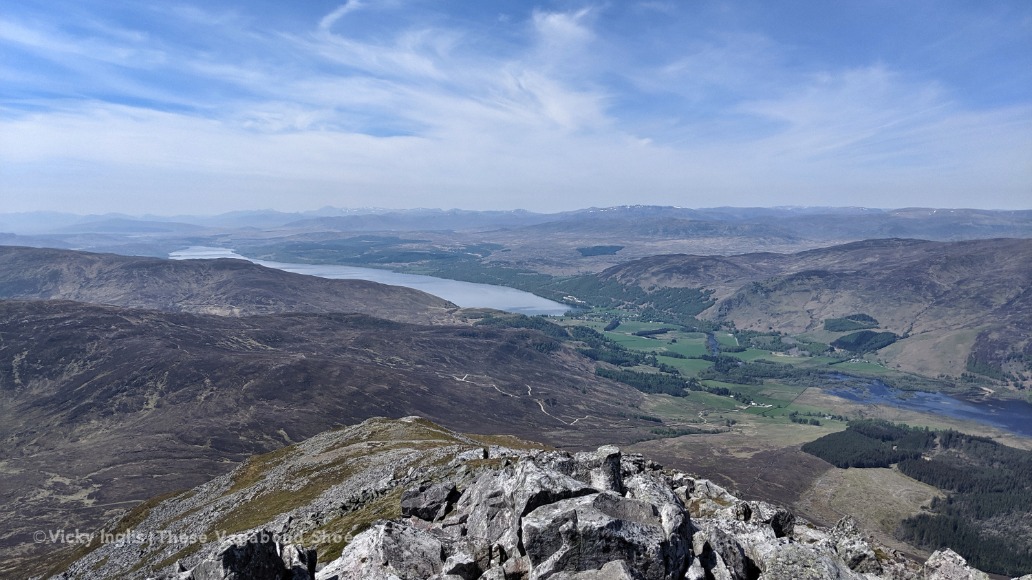
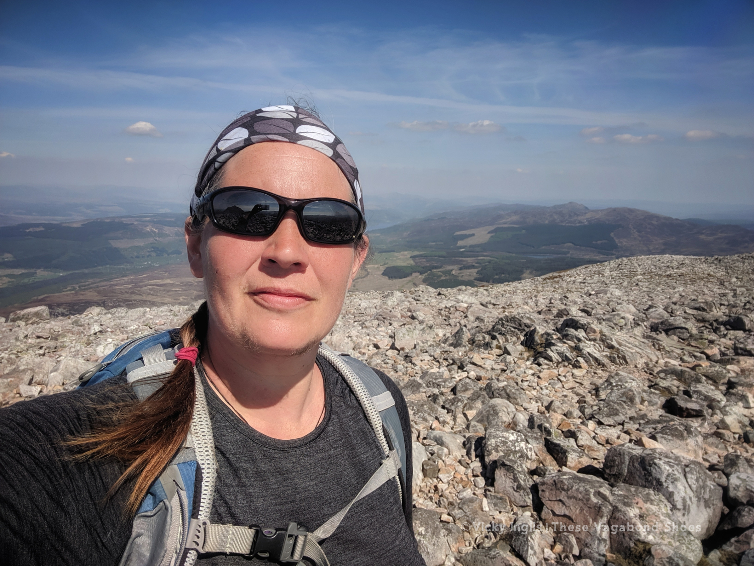
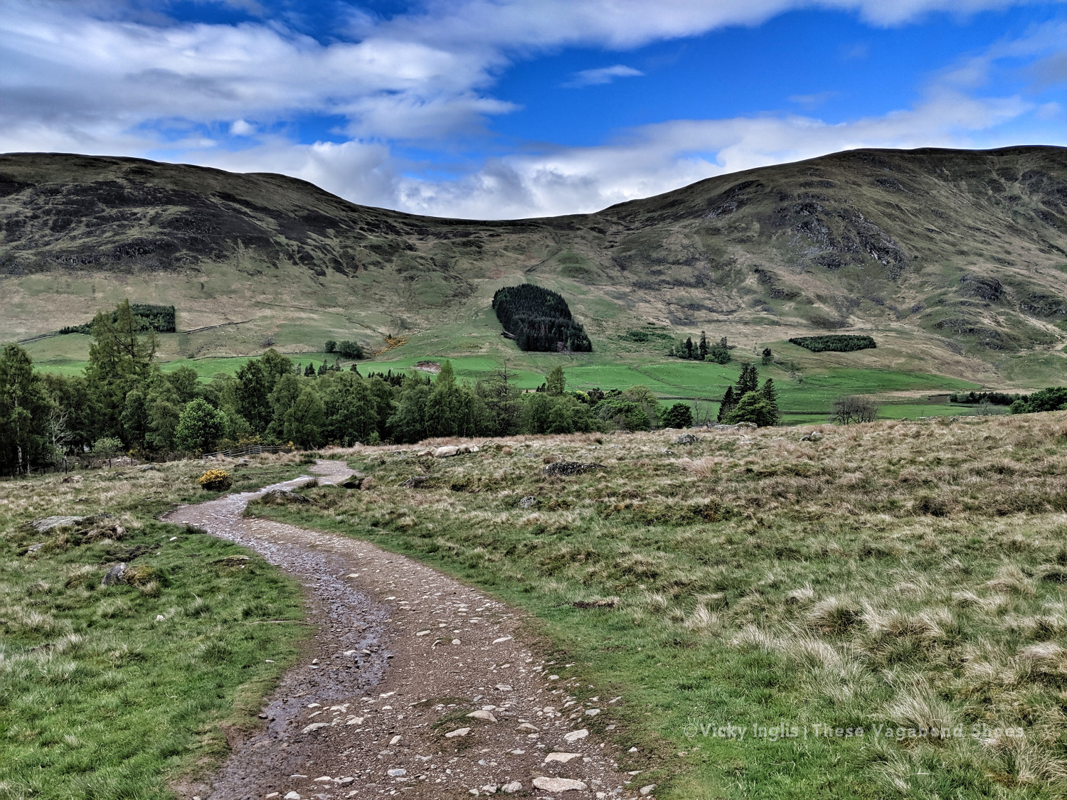
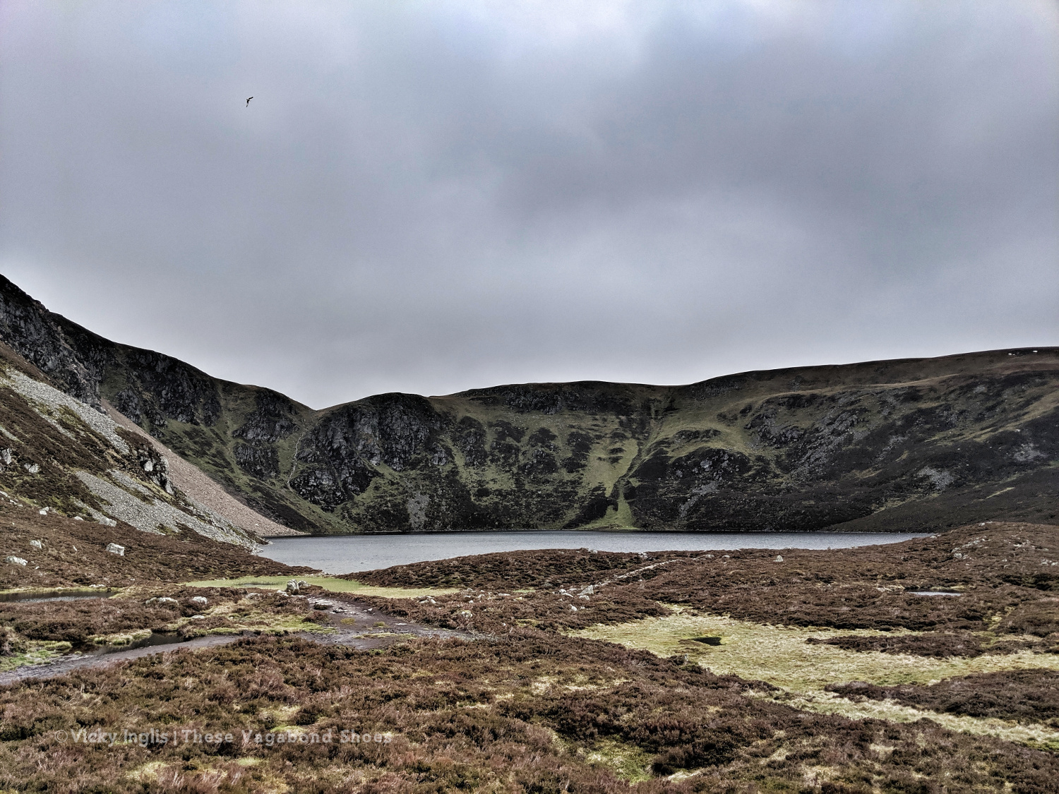
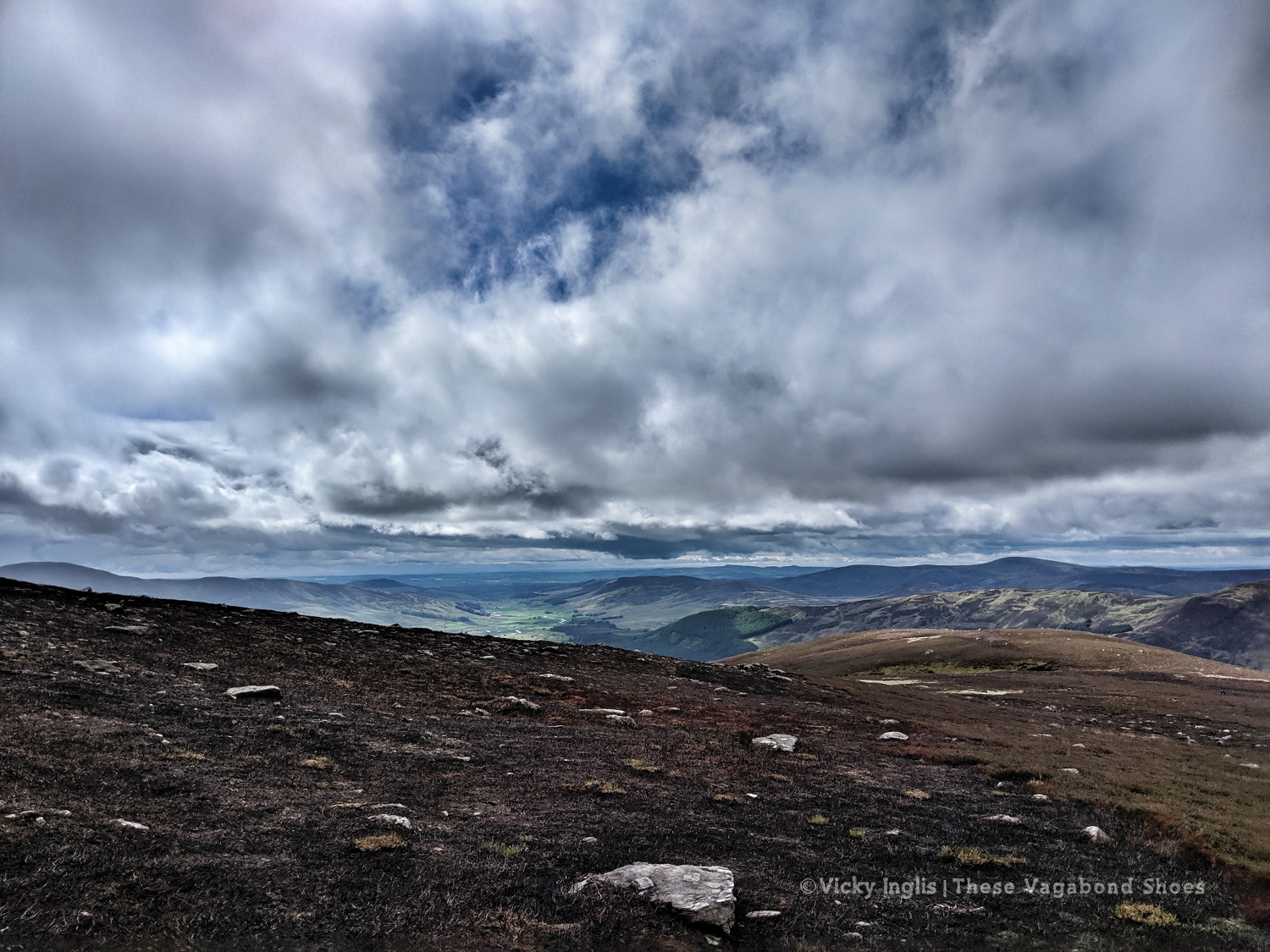
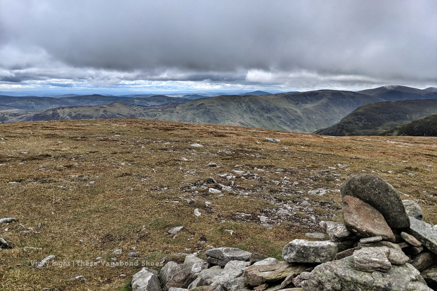
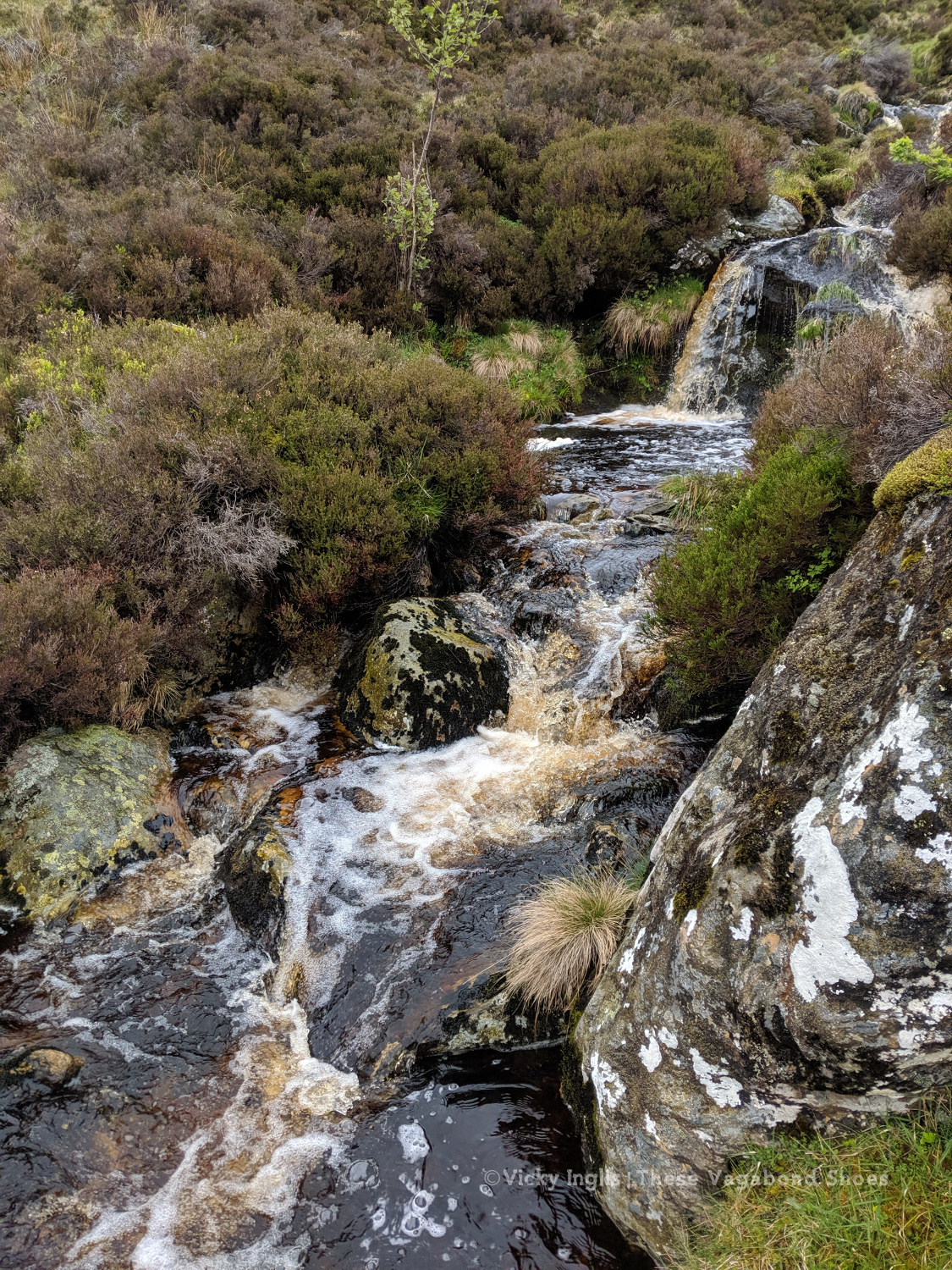
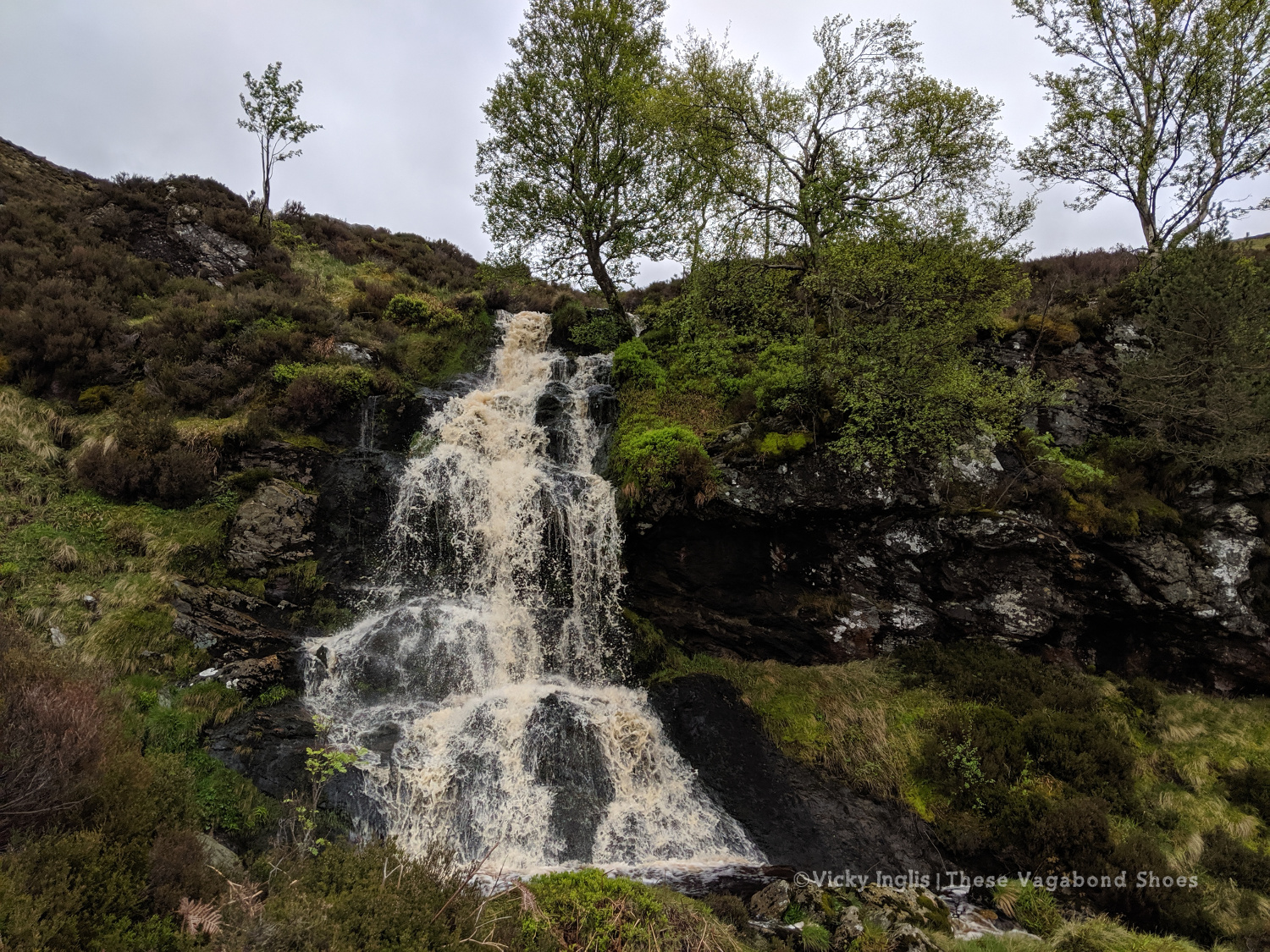
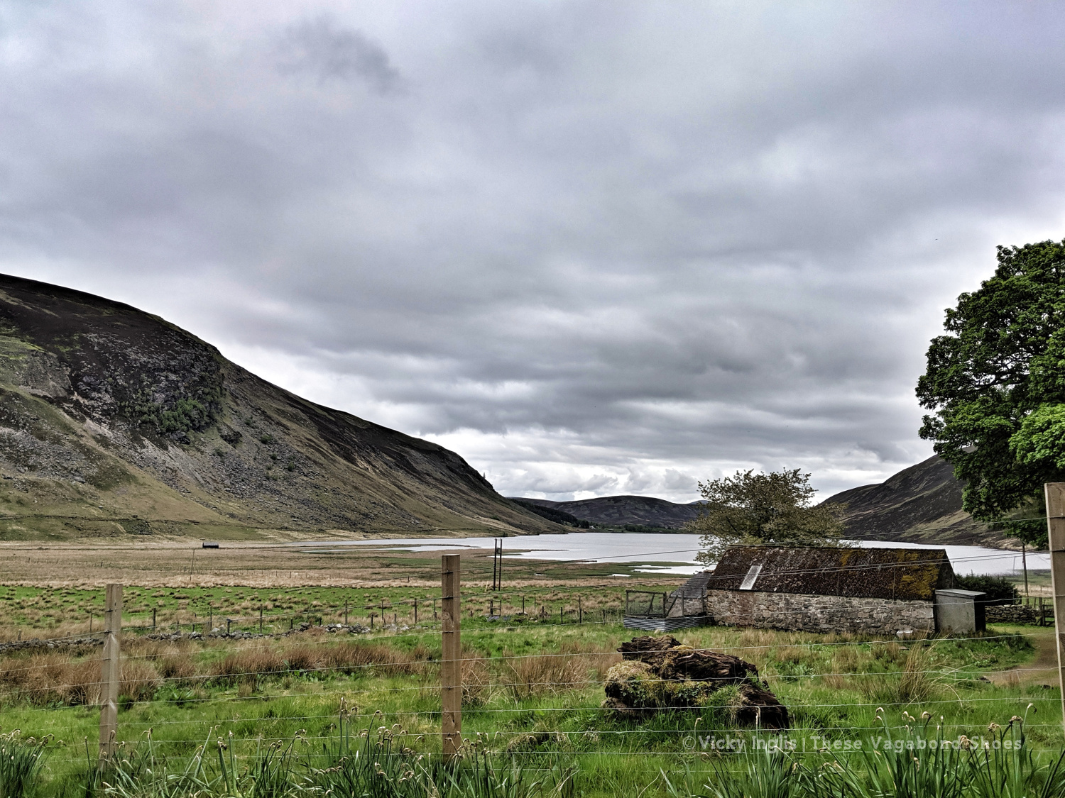
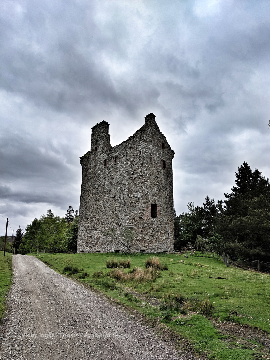
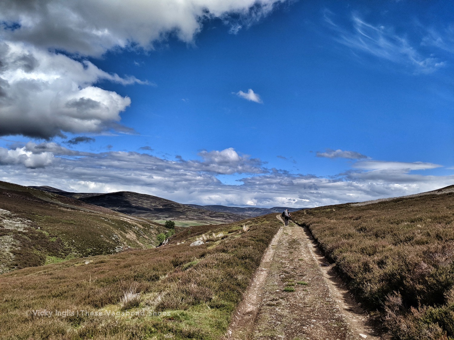
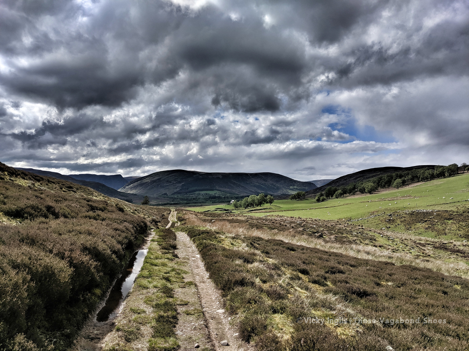
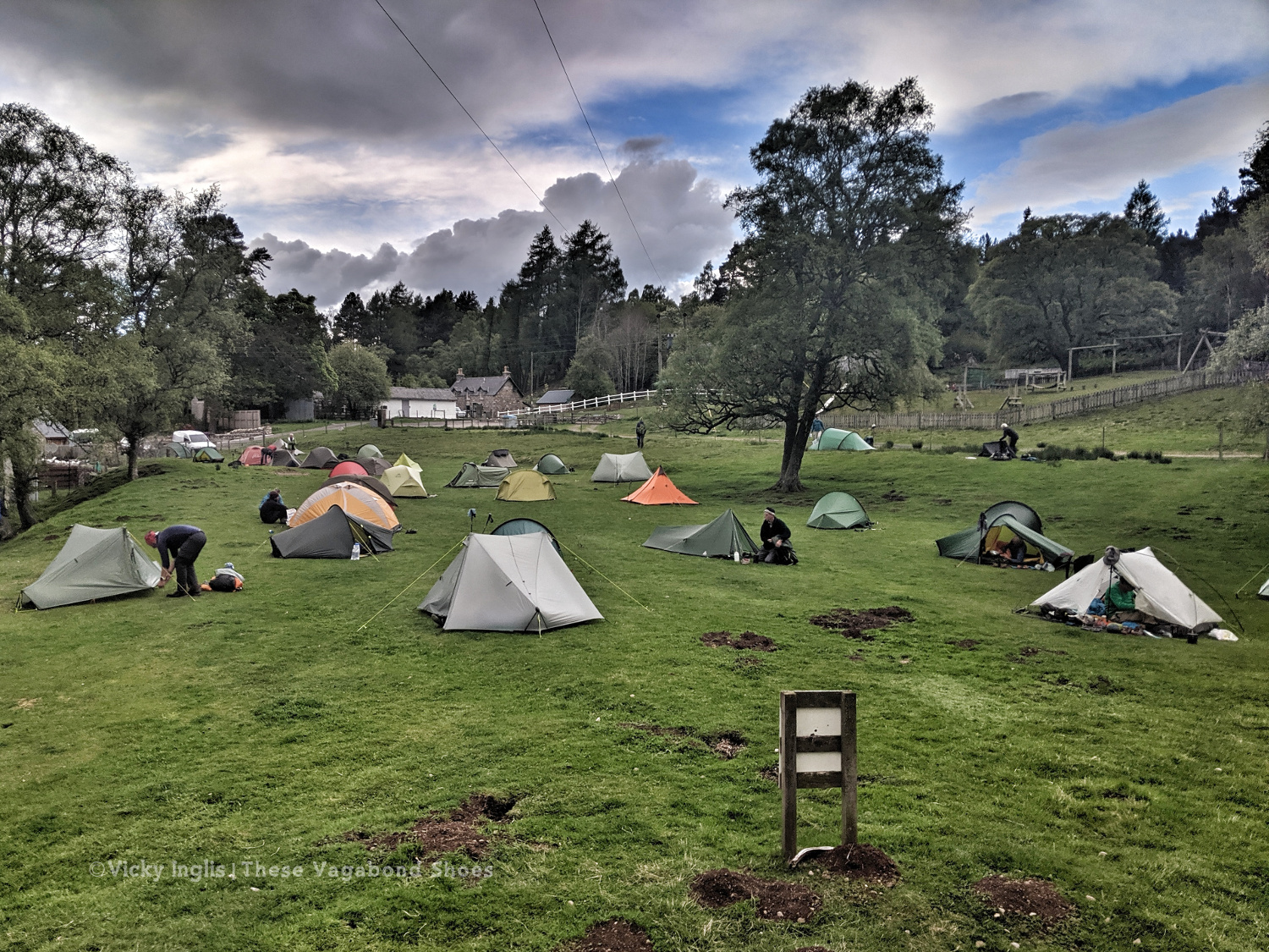
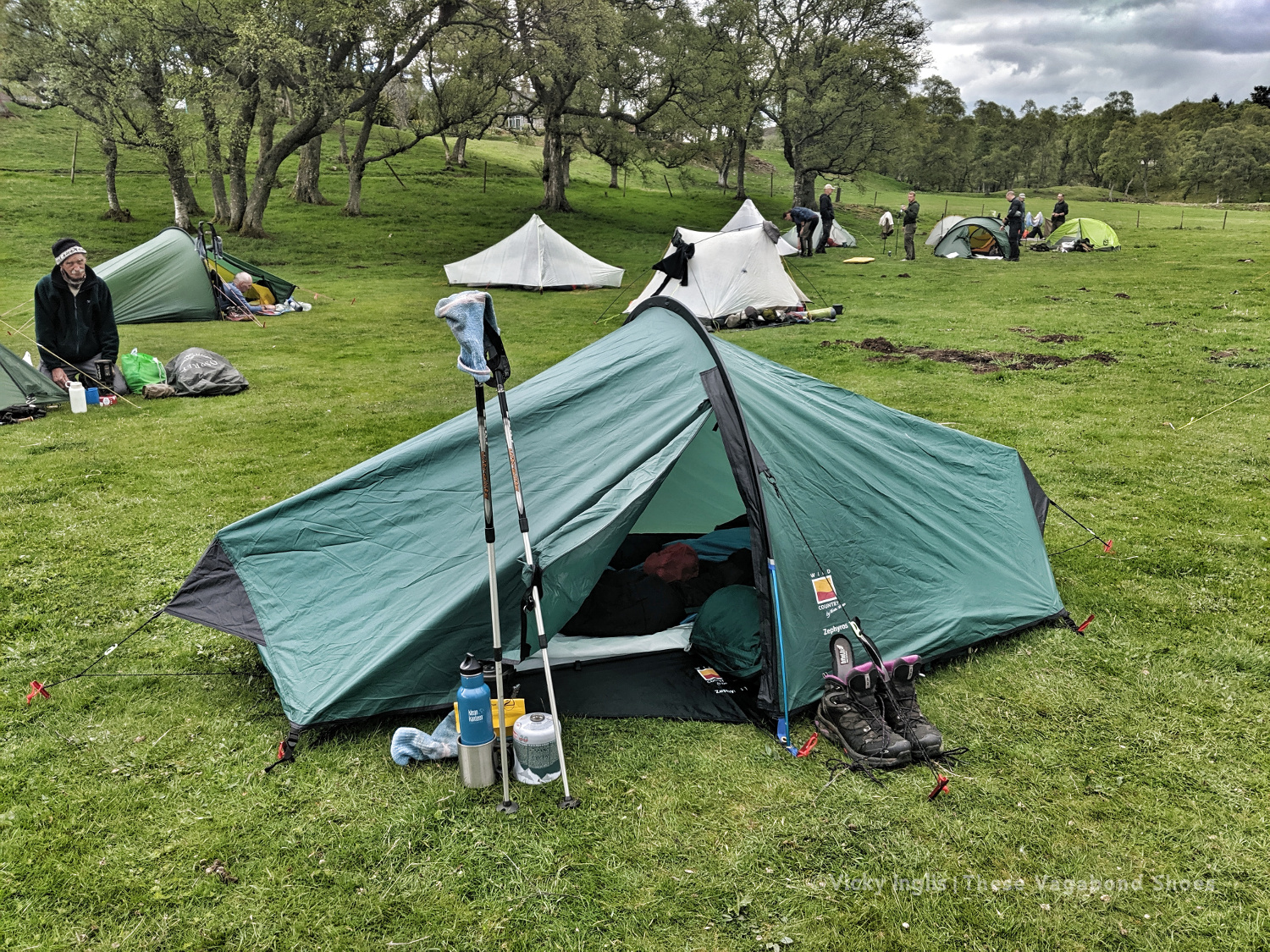
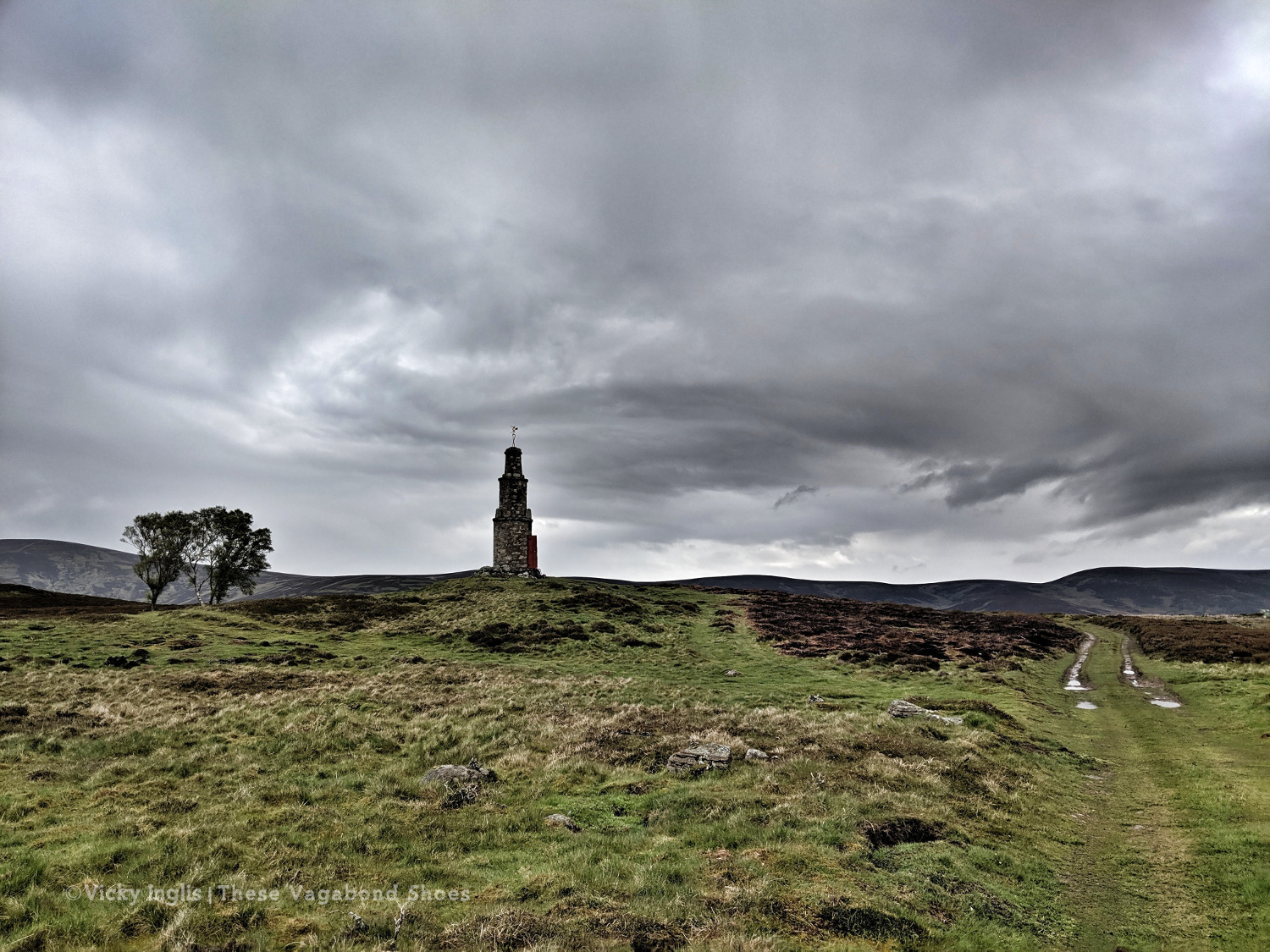
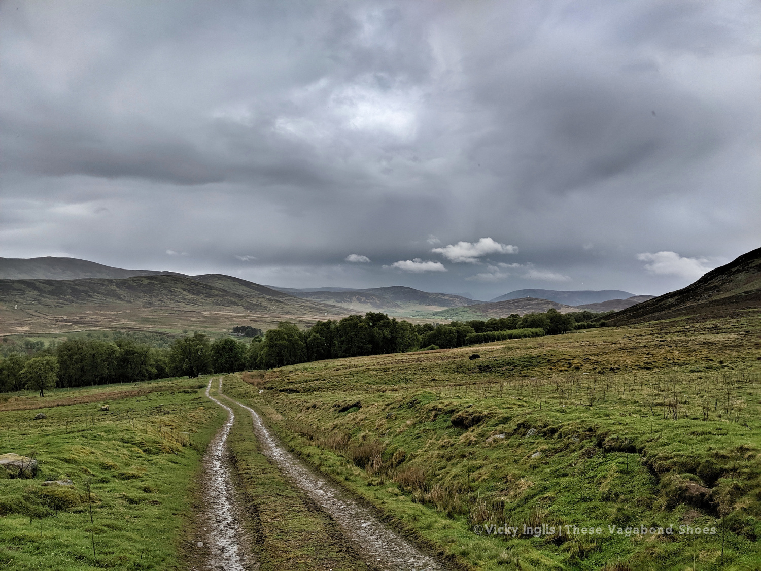
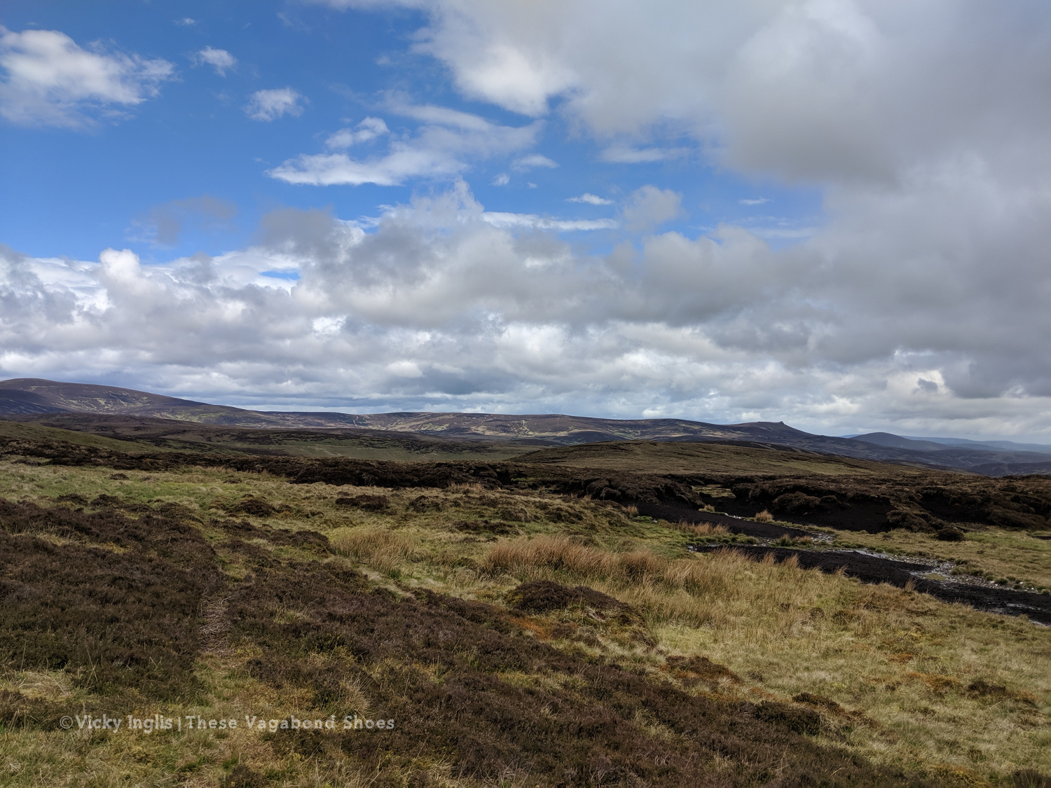
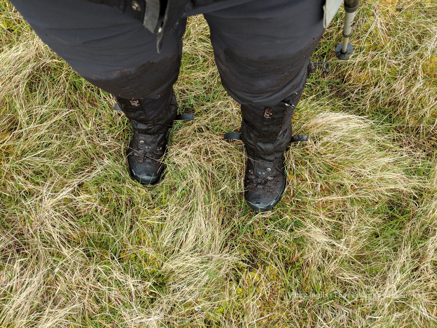
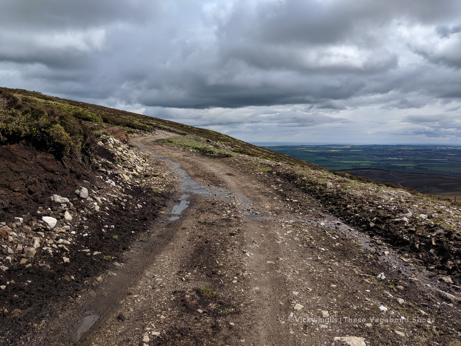
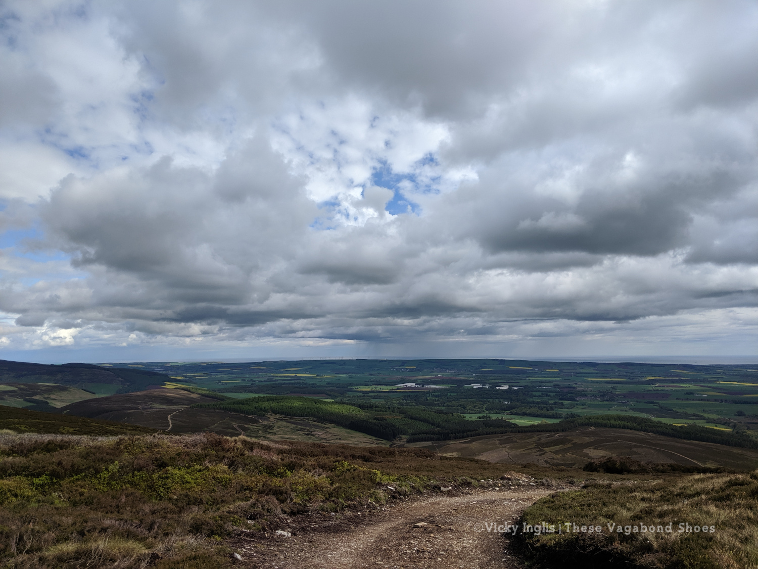
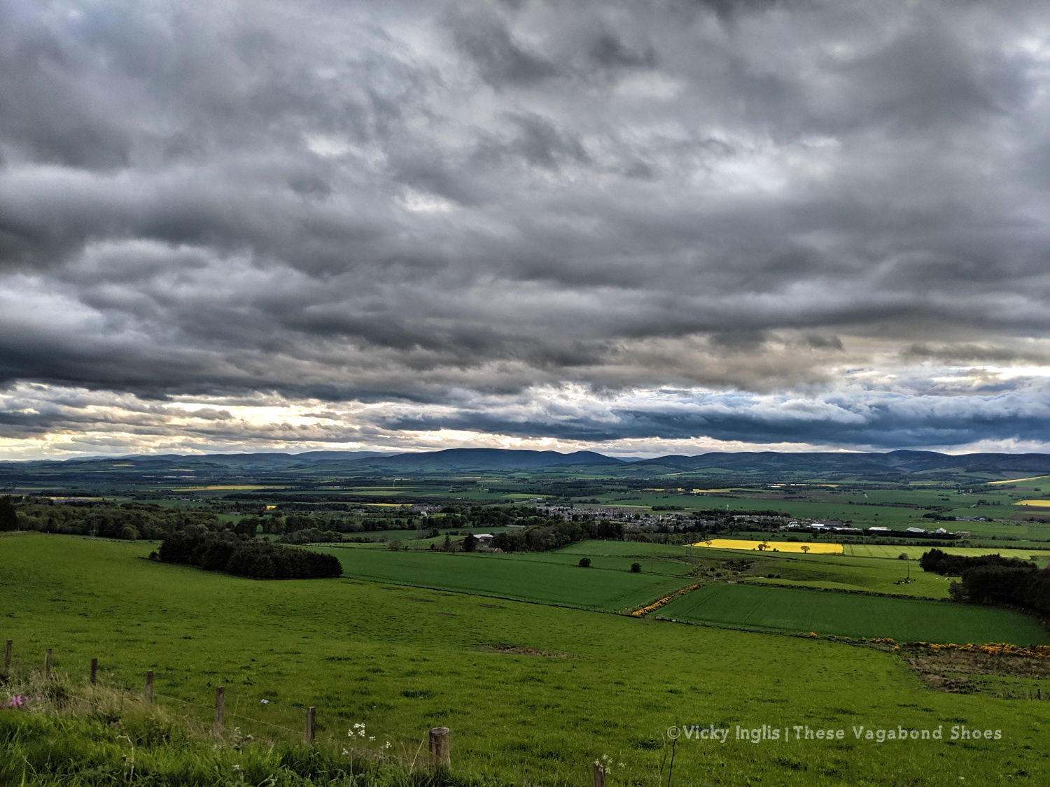
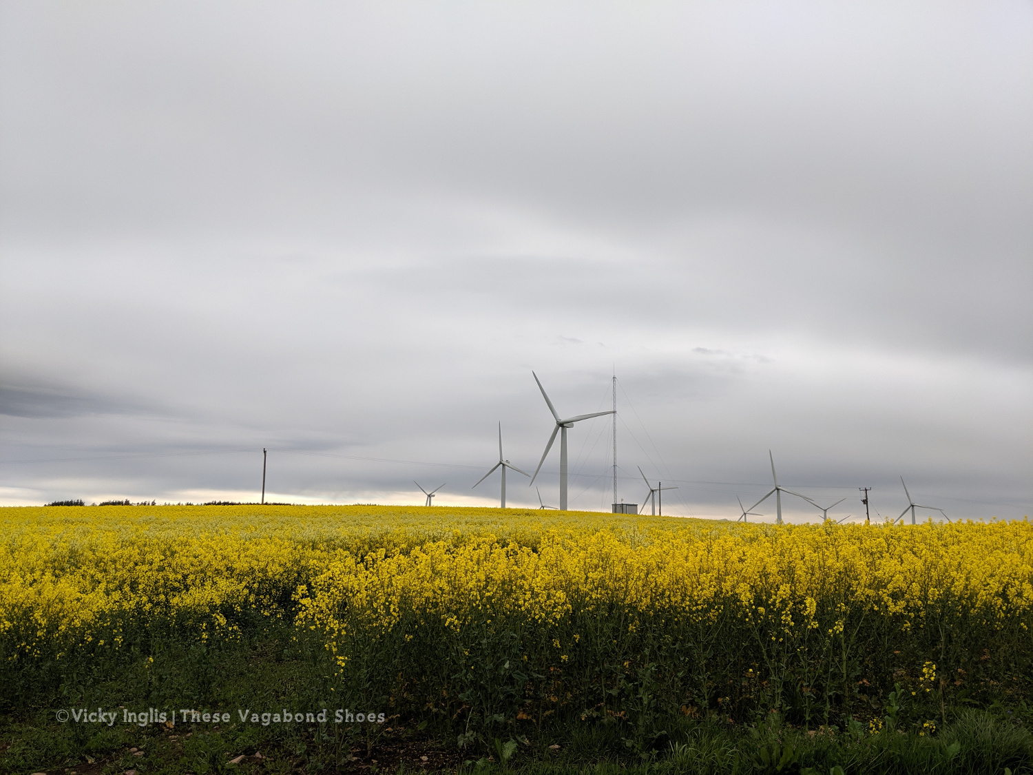
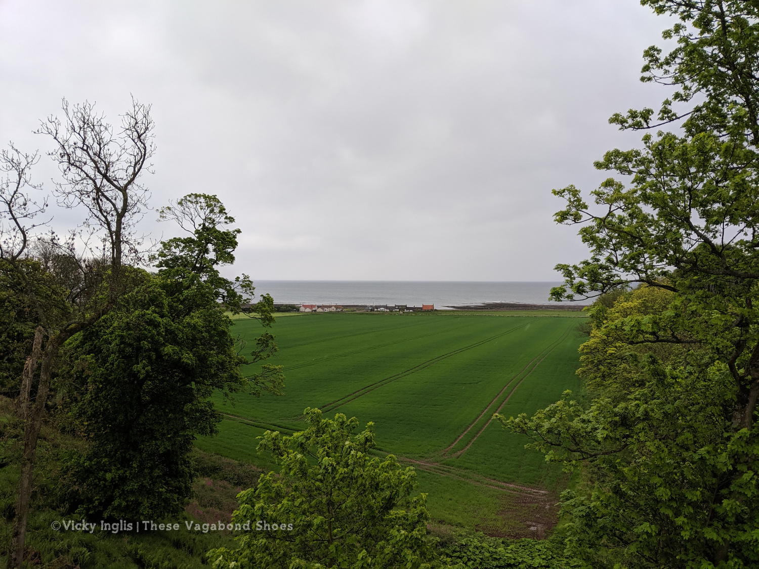
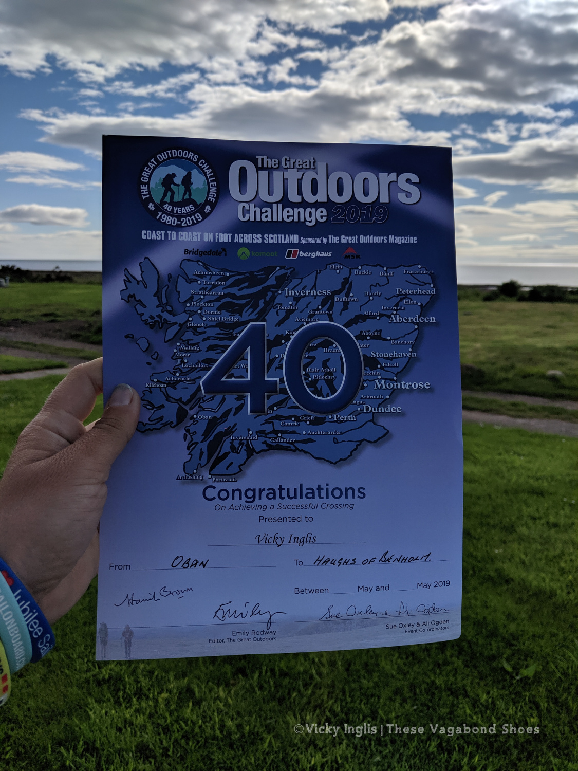
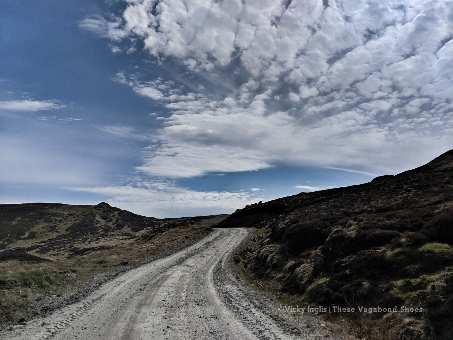
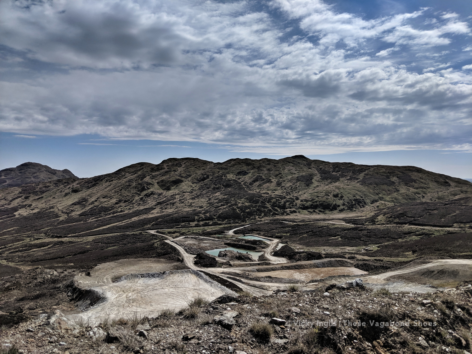
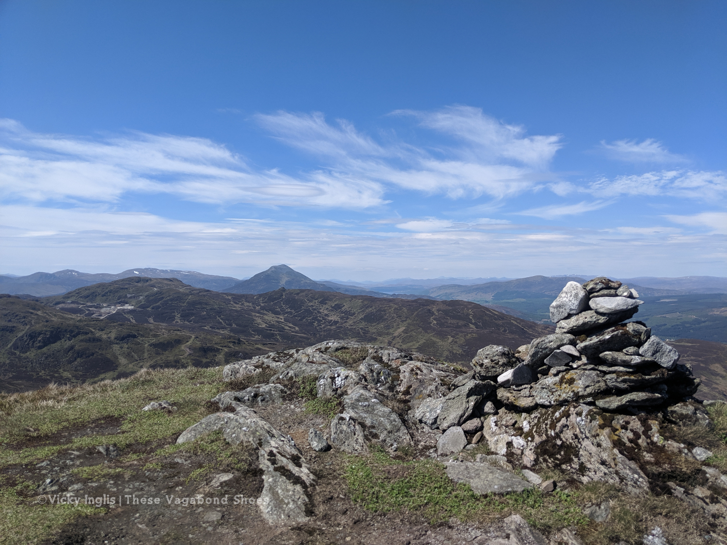
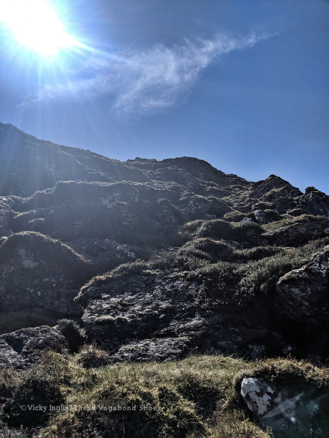
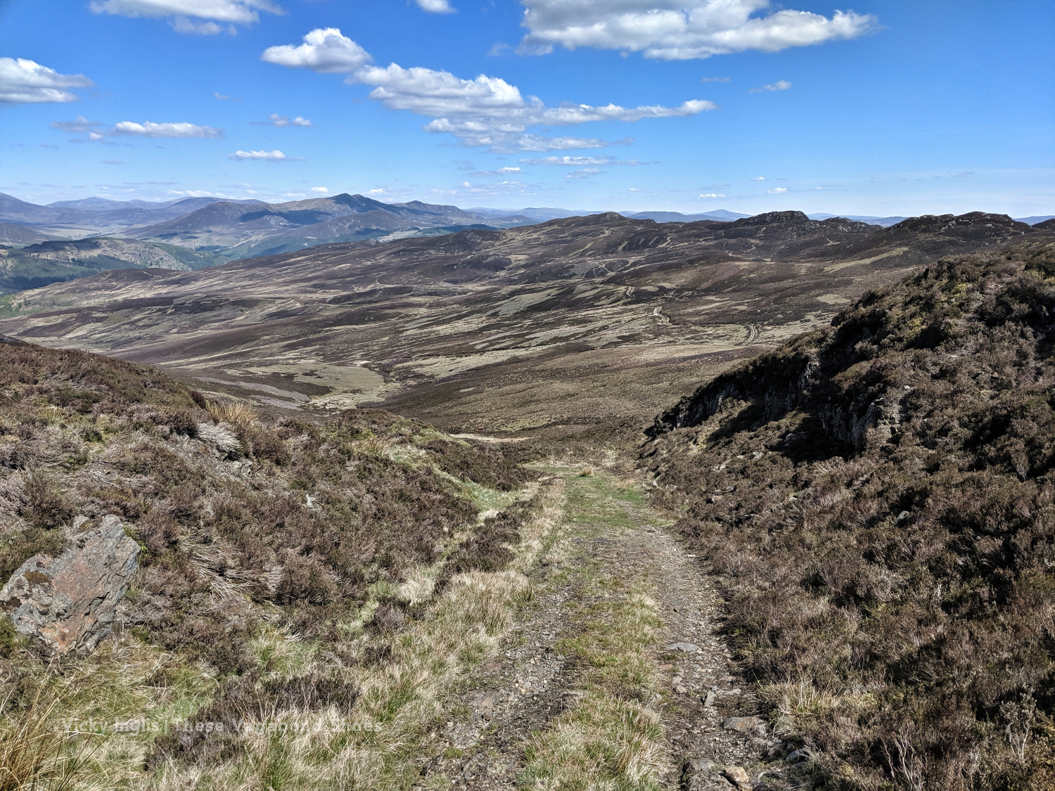
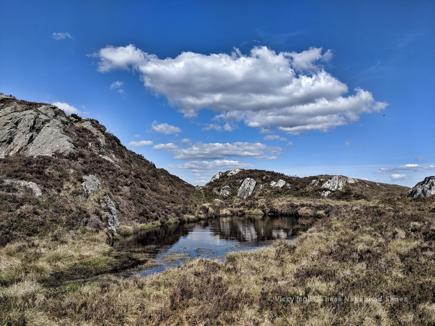
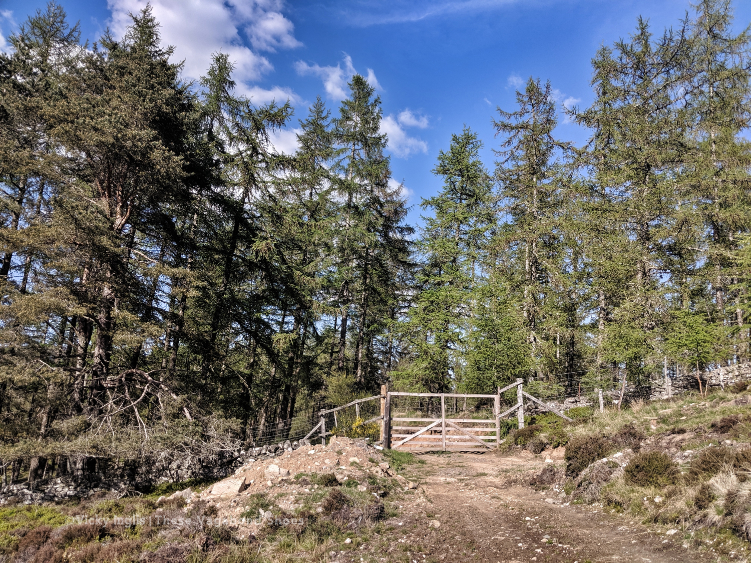
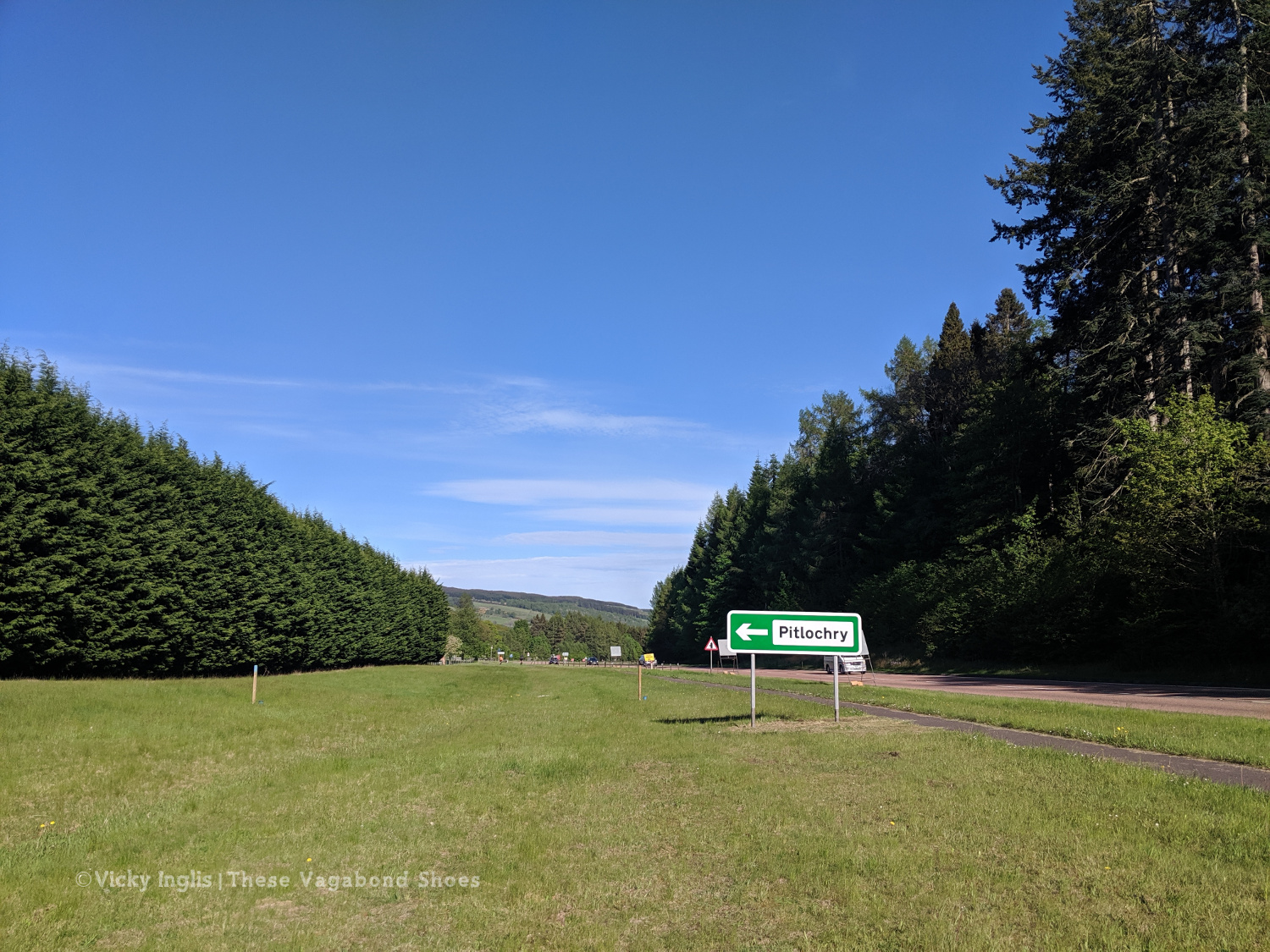
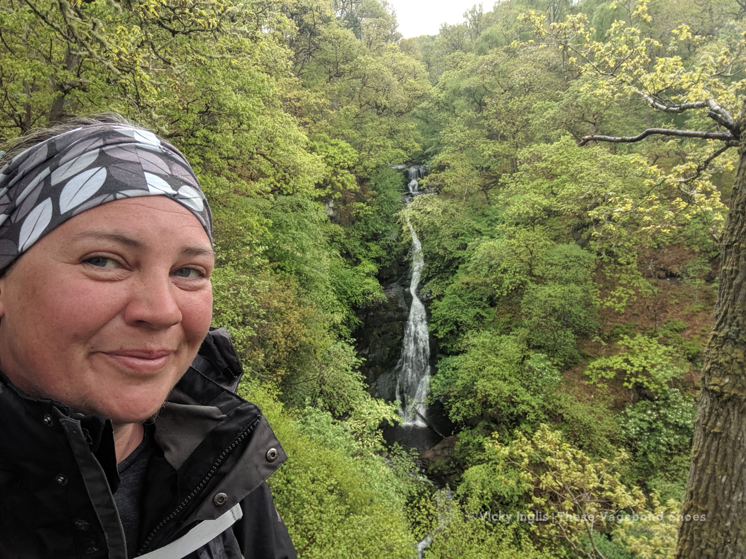
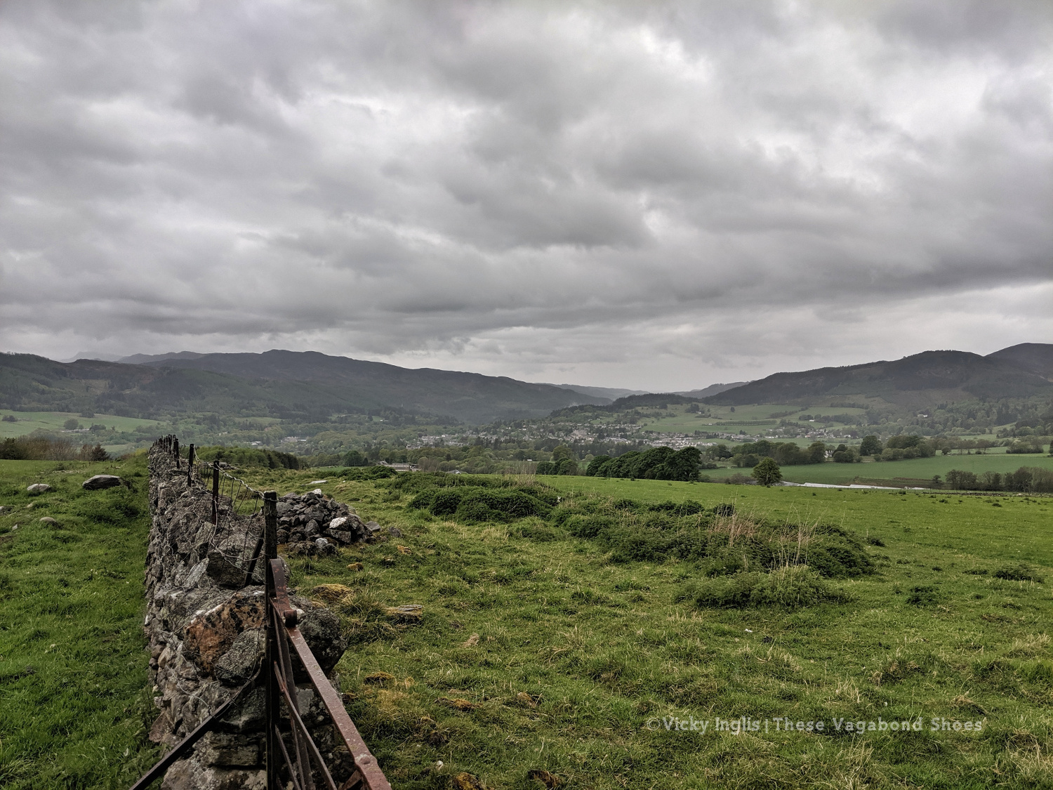
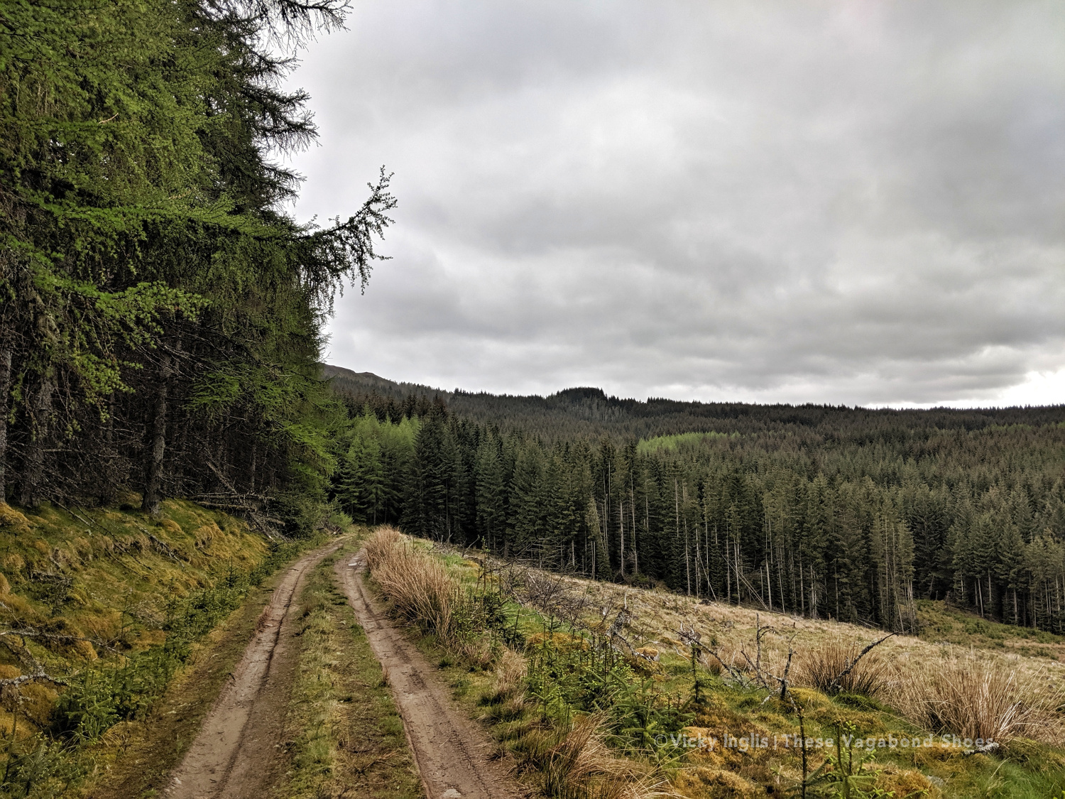
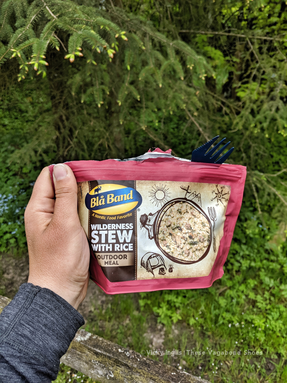
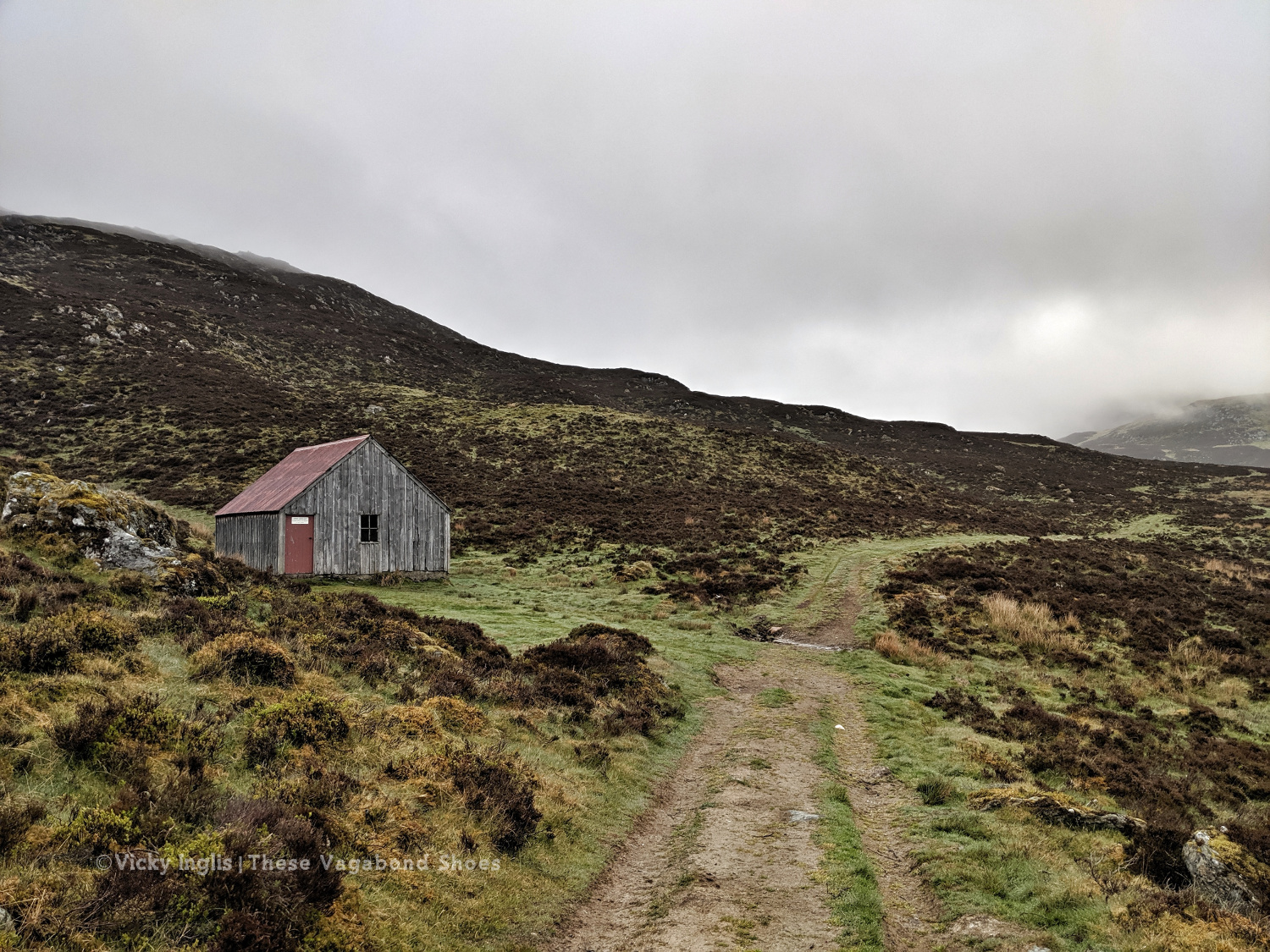
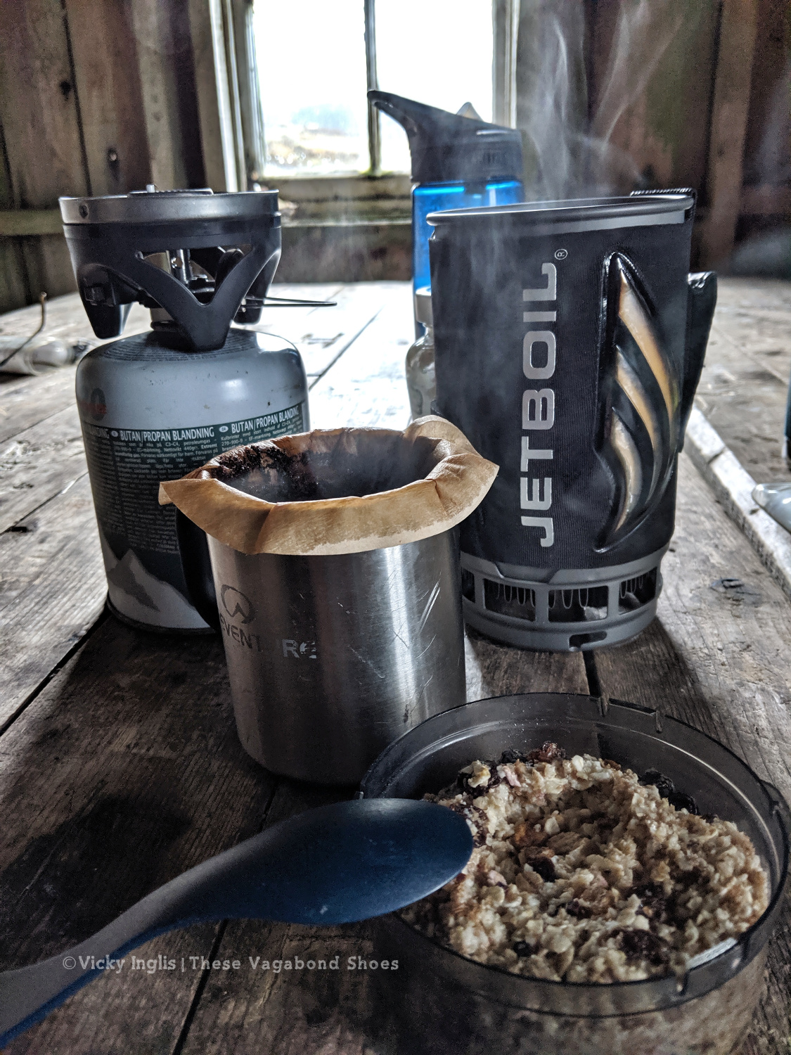
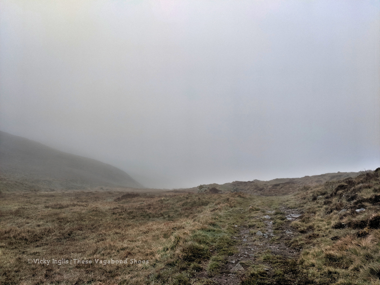
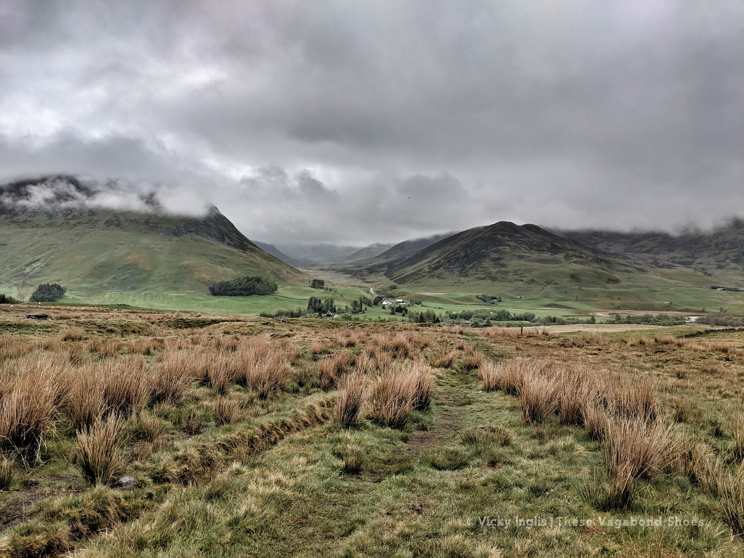
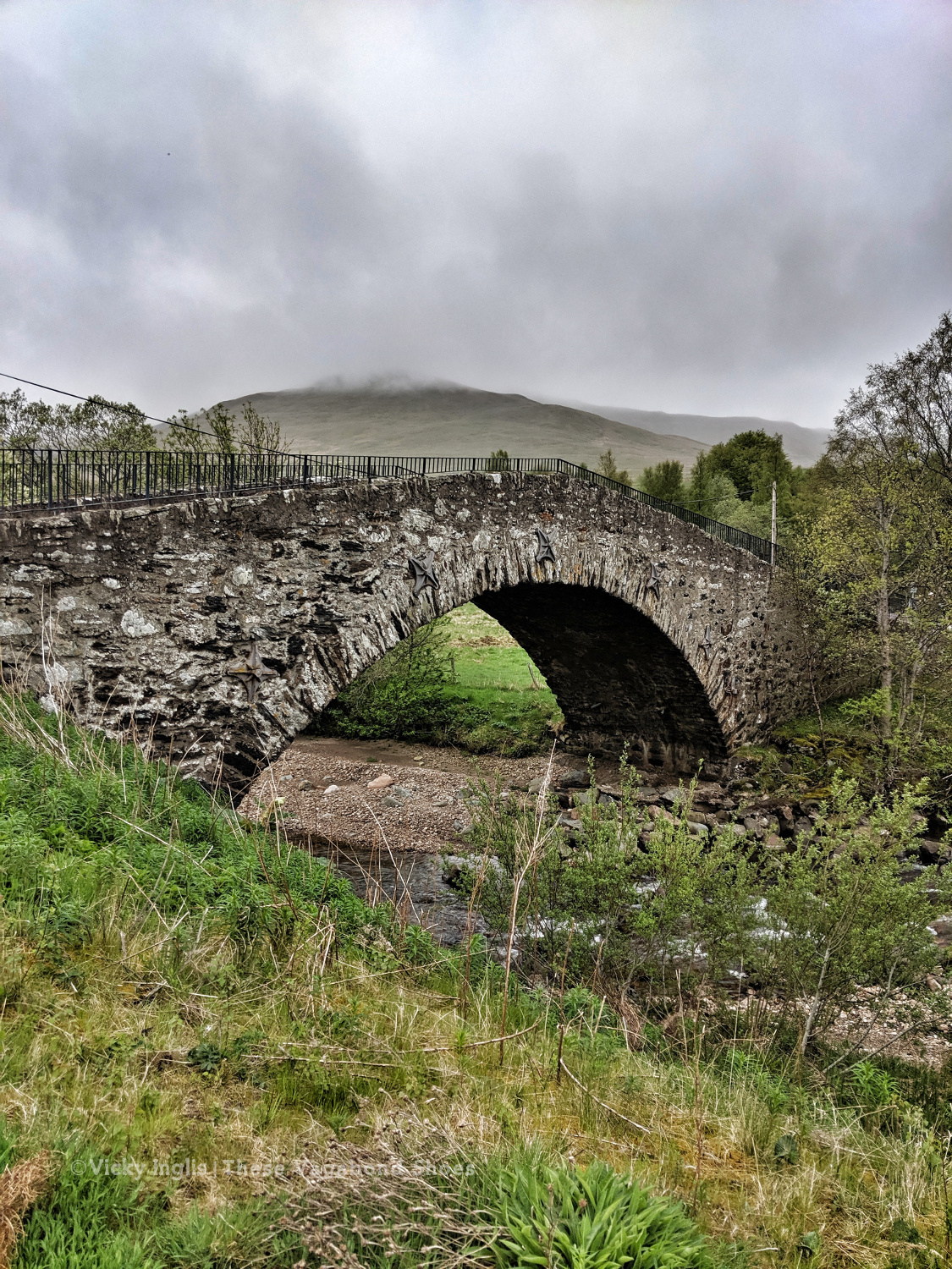
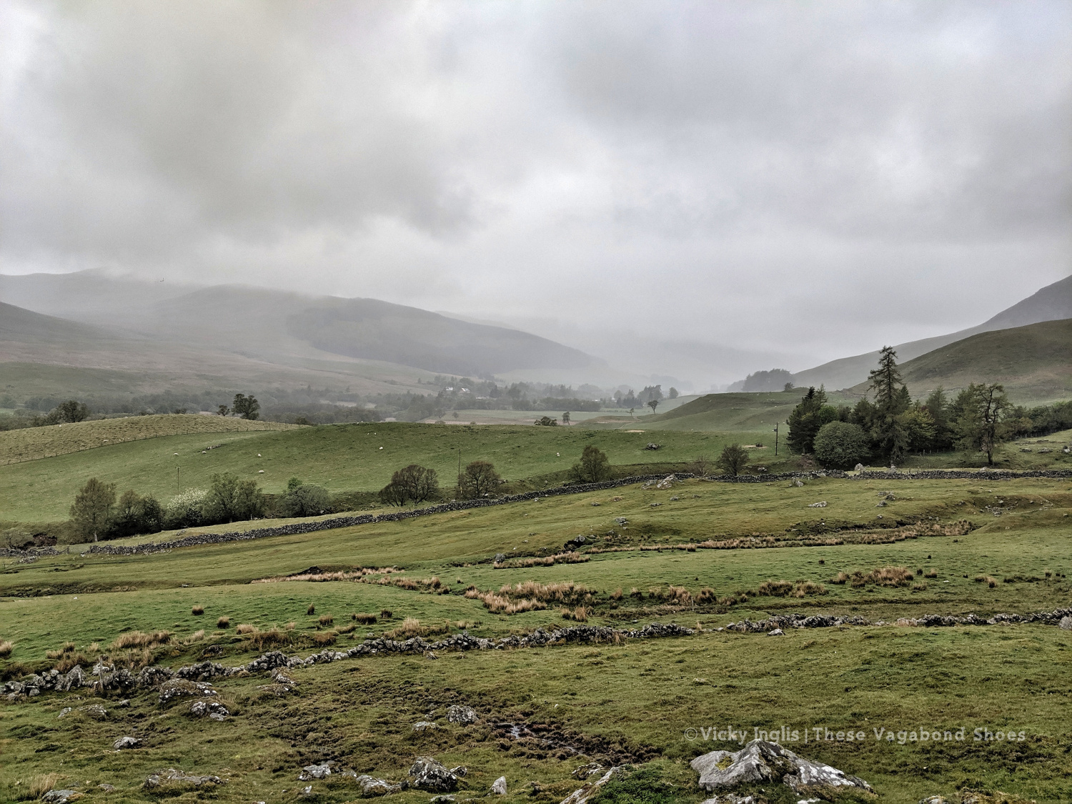
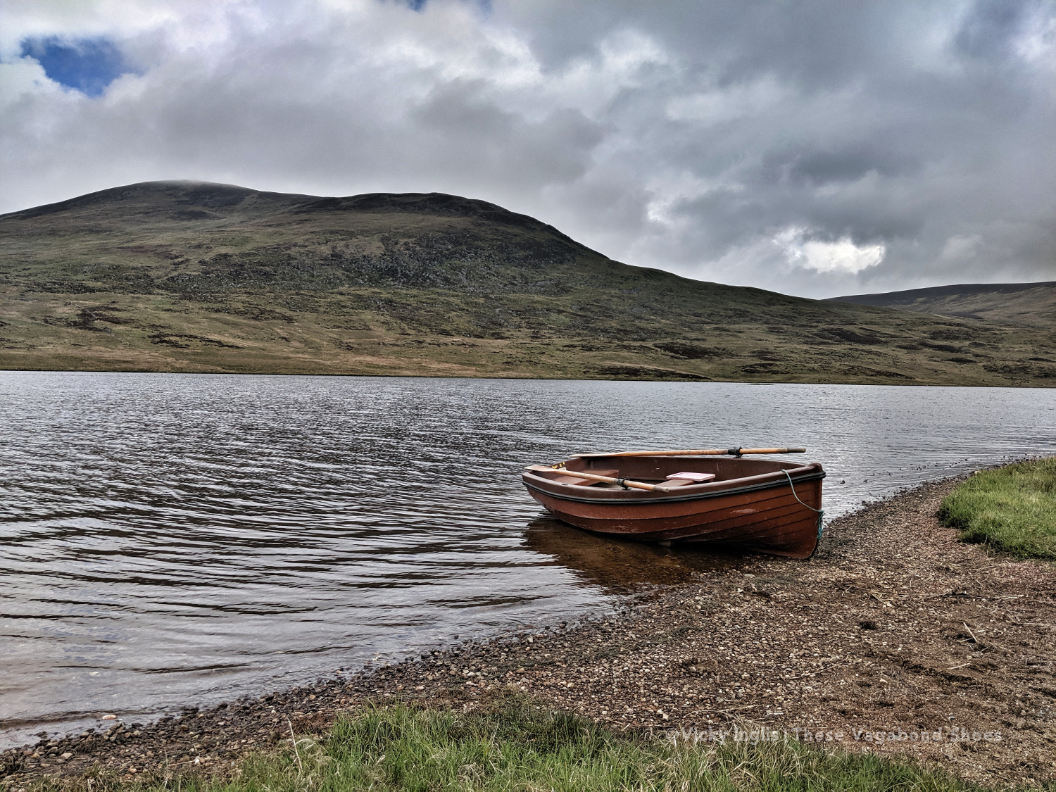
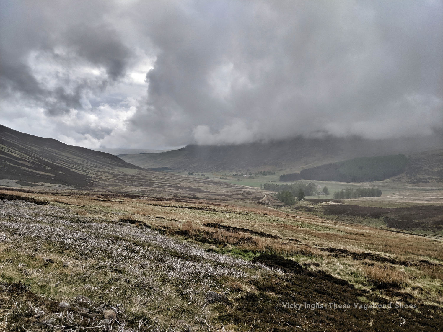
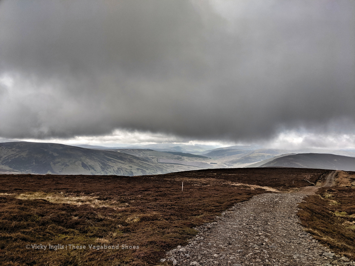
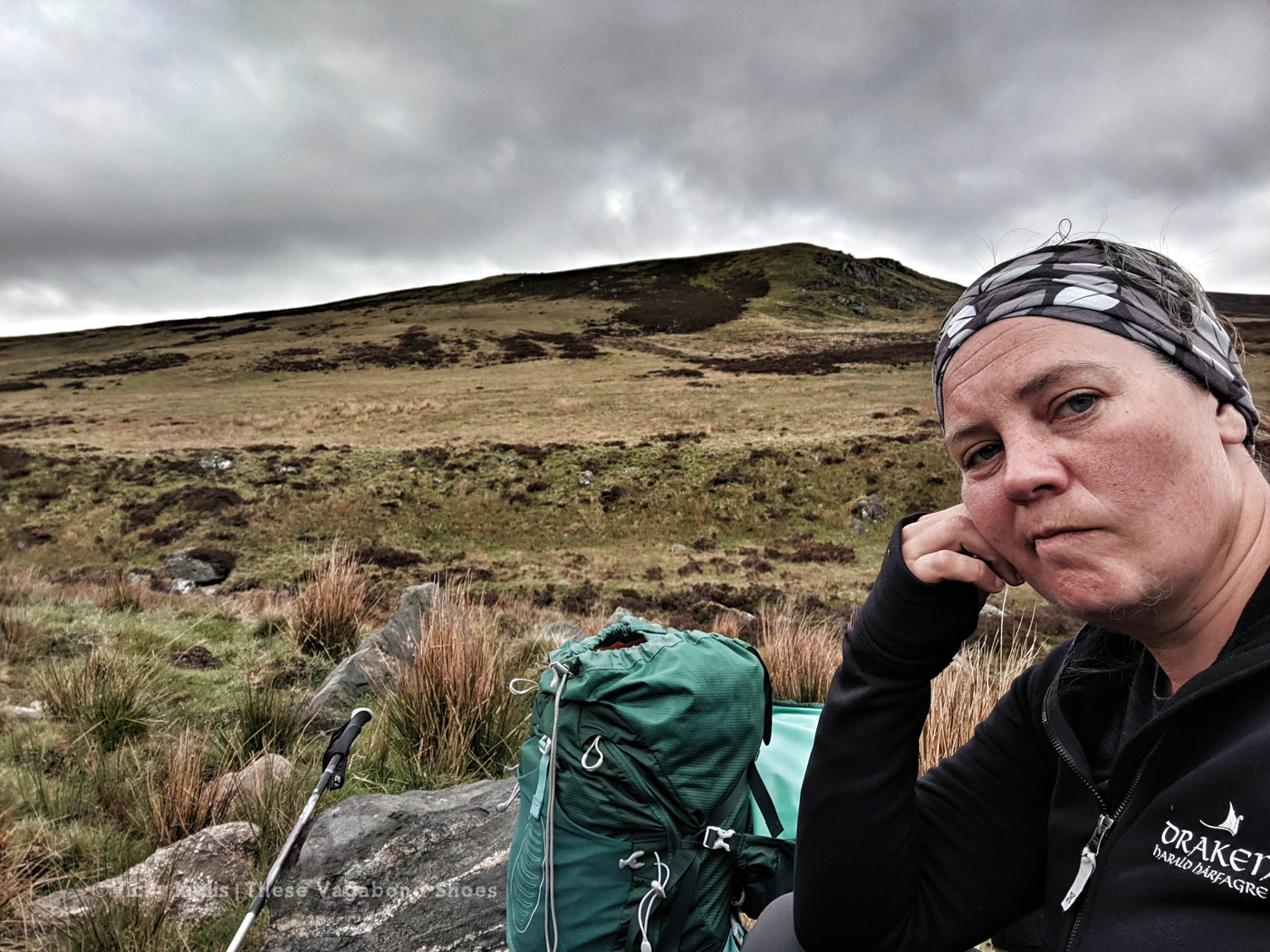
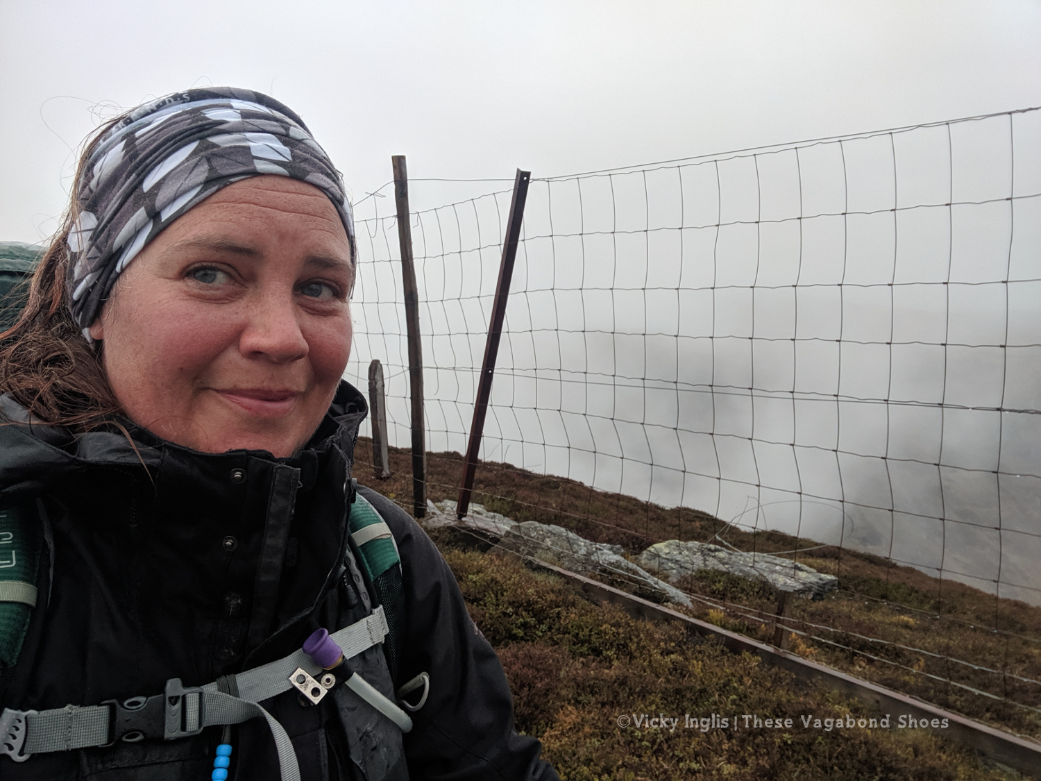
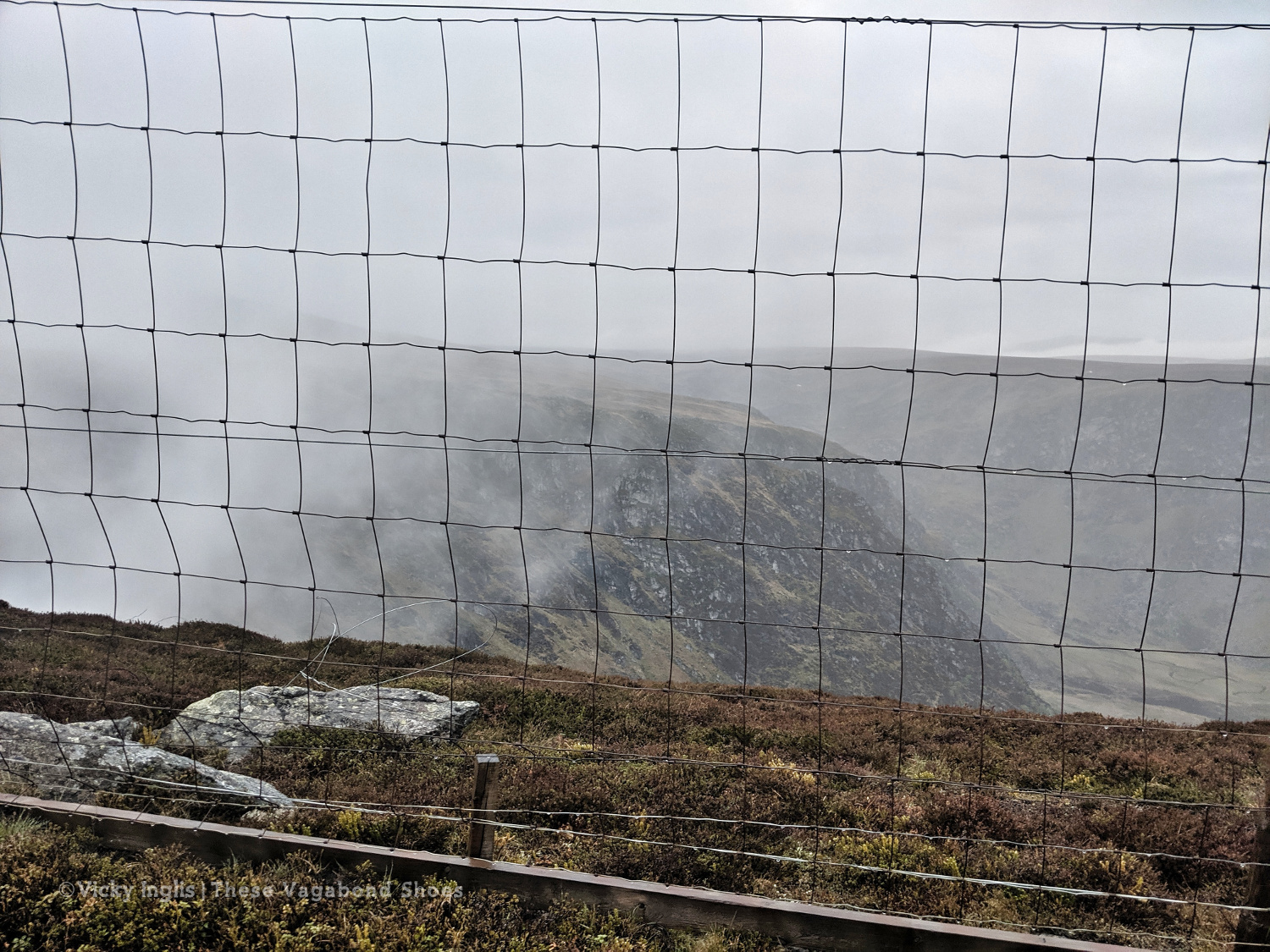
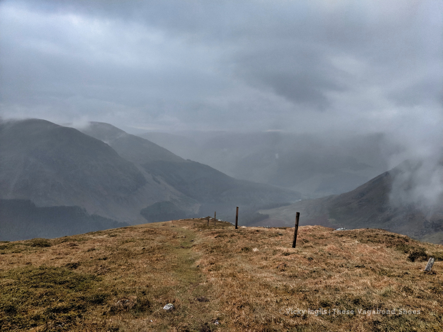
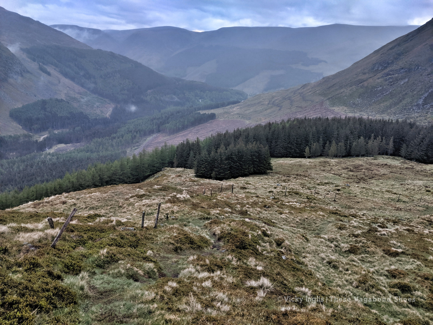
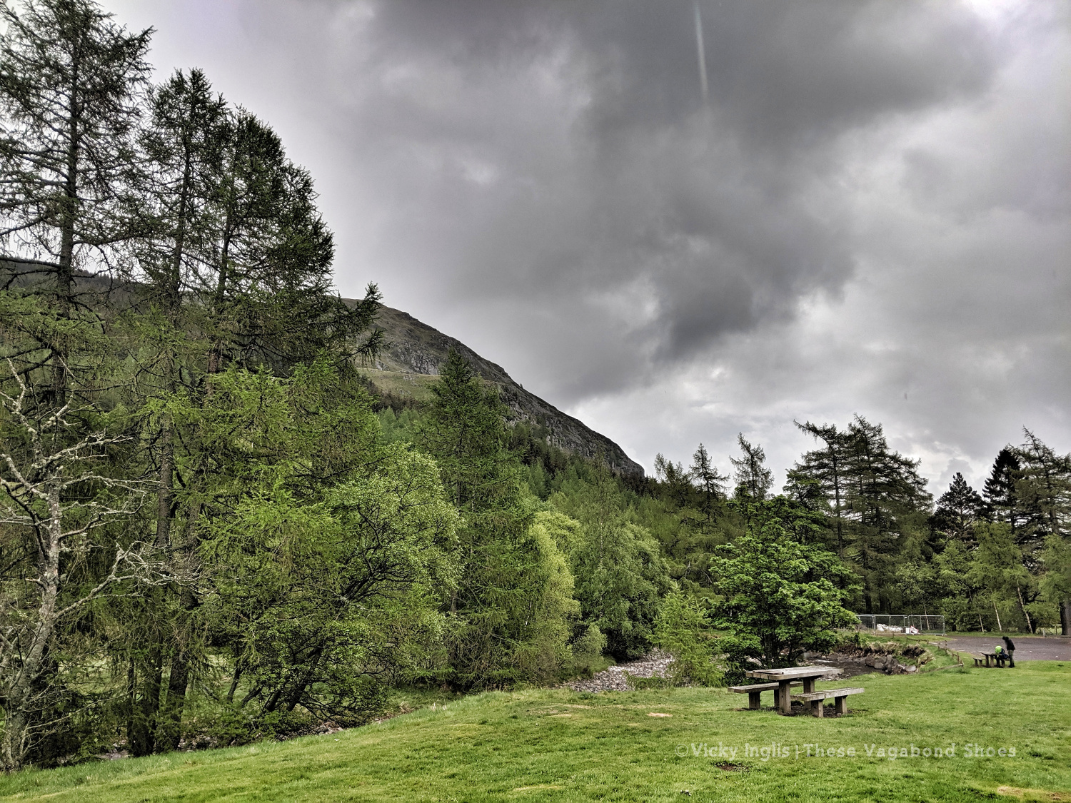
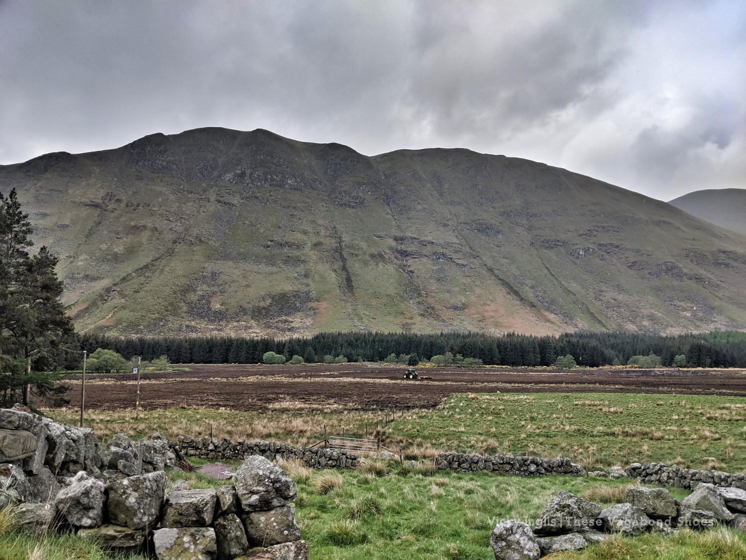
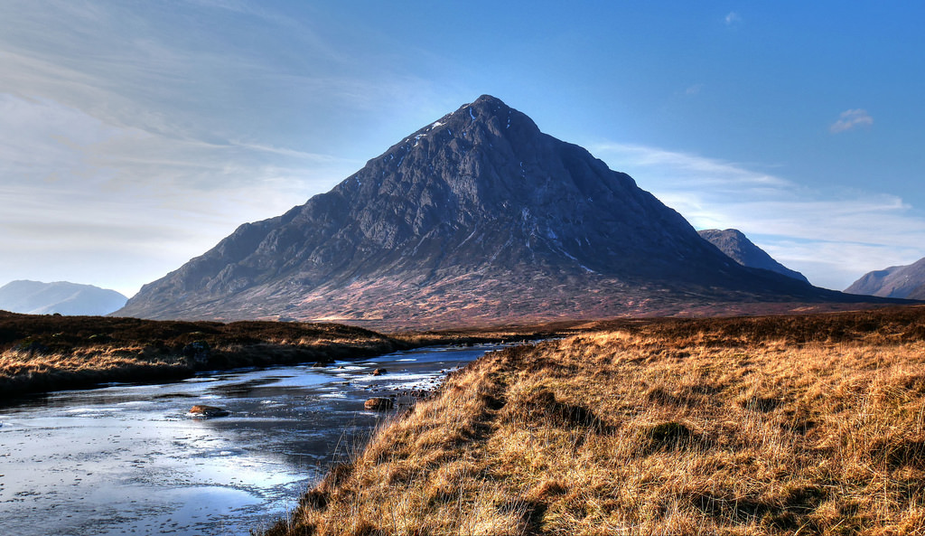
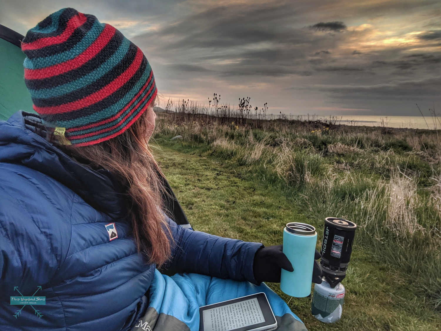
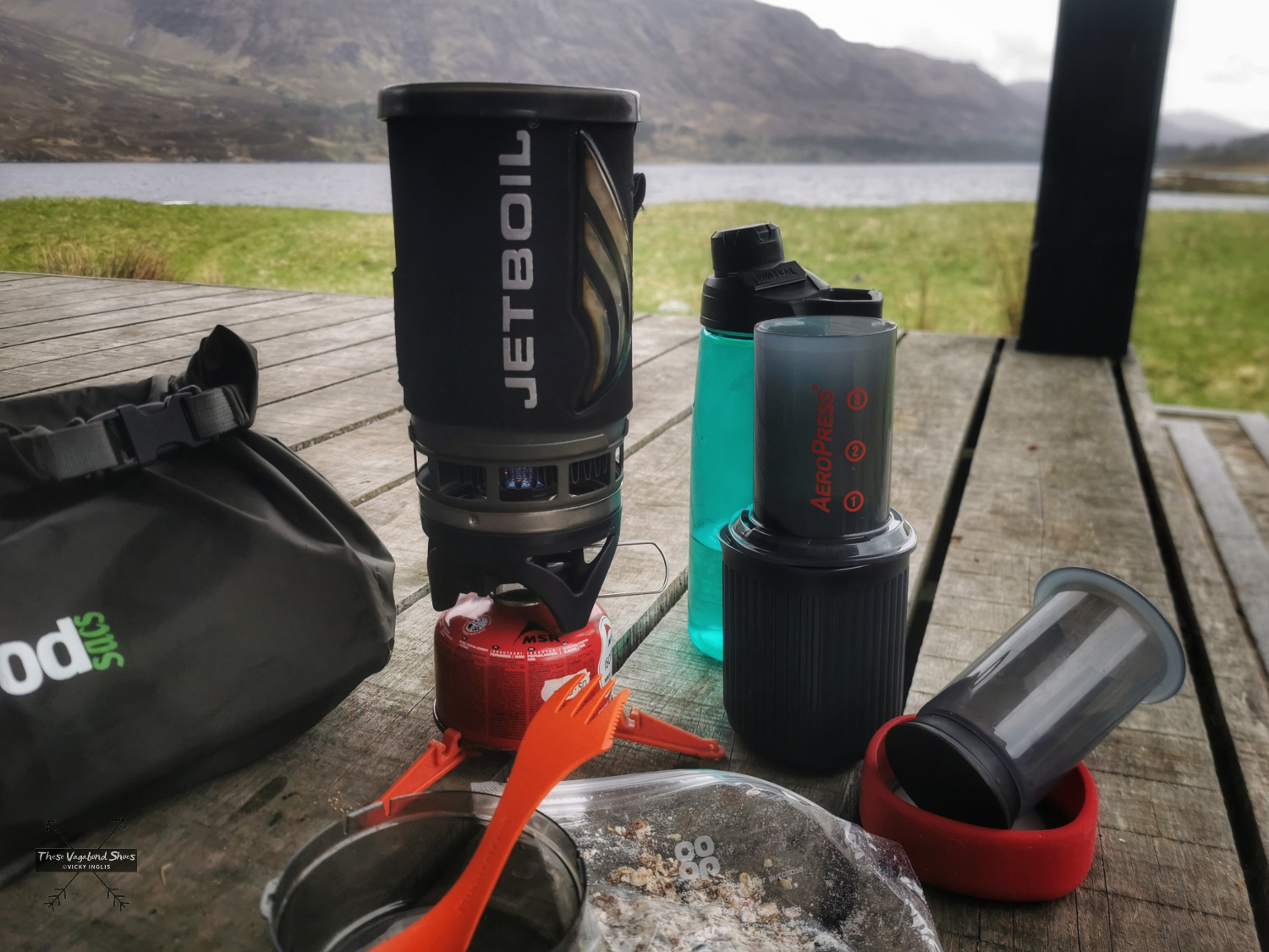
I took it with me on a two-night wild camping trip, a shakedown for taking part in the TGO Challenge, a self-sufficient coast-to-coast crossing of Scotland in May 2022, and kept it in my kit for the event. My TGO route on this occasion took 13 days to complete, walking between 25 and 30km a day, with one rest and resupply day scheduled around the halfway point. I carried all my equipment, including a Jetboil Flash 2.0 to heat water for hot drinks and prepare dehydrated meals.

Breakfast and a brew before walking the length of Loch Affric on the Affric Kintail Way.

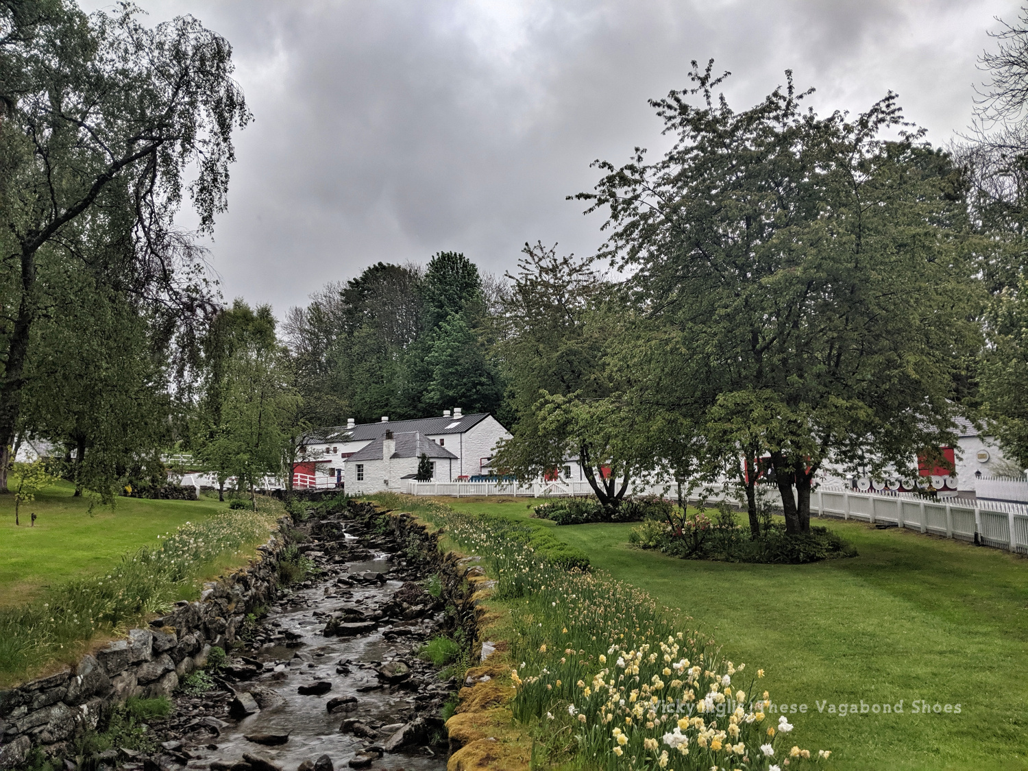
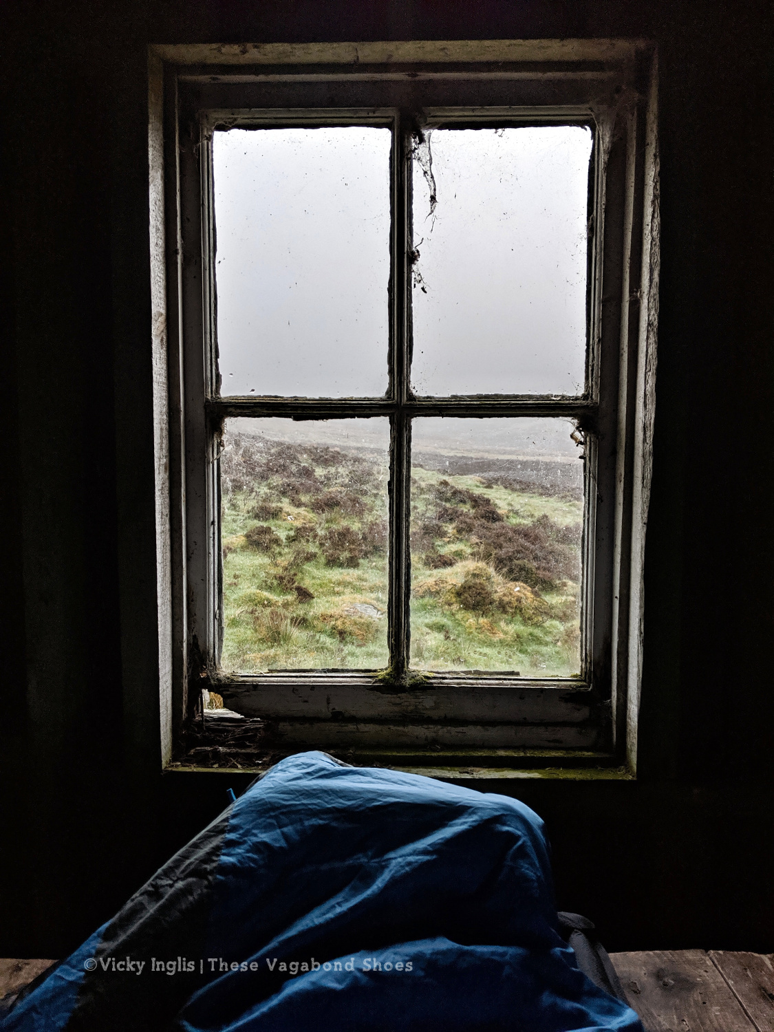
For most of the TGO Challenge in 2022, I camped overnight in locations remote from local shops, cafés or pubs, so there was no alternative other than to brew my own coffee in the morning before starting to walk if I wanted it.

Product Description

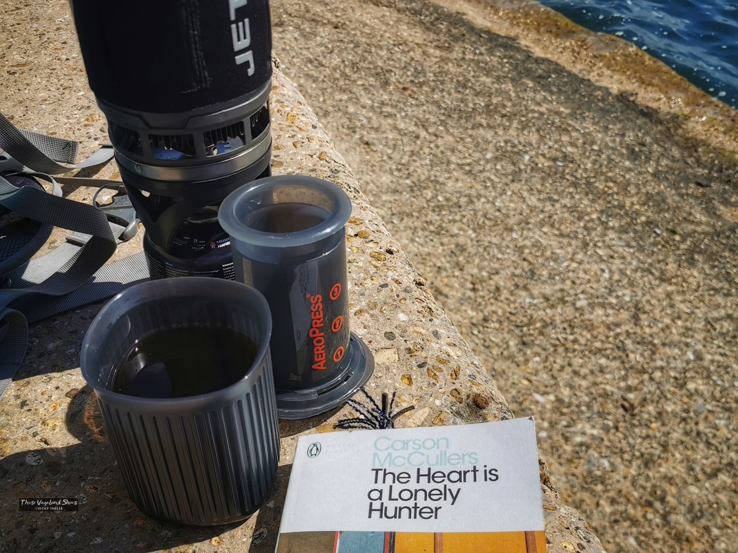
The Aeropress Go is a portable coffee maker designed for outdoor use, expeditions and frequent travel. If you’re familiar with the original Aeropress, the Aeropress Go is a slightly smaller, more streamlined system, which packs into a dual-purpose storage container travel mug.

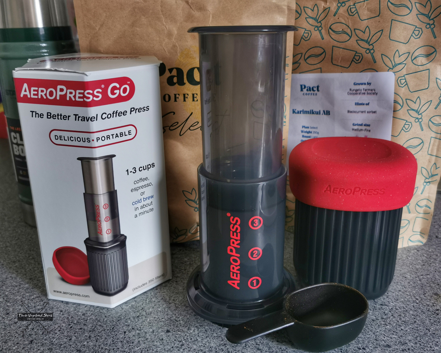
It can be used to make hot or cold brew coffee, producing around 250ml of espresso-style coffee which can be topped up with water or milk to make a long black or a latte, in less than 30 seconds.

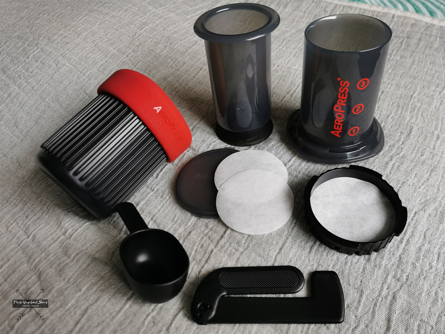
The components are made from lightweight, tough plastic, with a silicone seal on the plunger and silicone lid for the travel mug. The stirrer and scoop have been redesigned to fold into the plunger, and the kit includes a case that can hold around 20 filters.

The complete Aeropress Go system weighs 326g, including the storage container/ mug, scoop and stirrer, and the dimensions when packed inside the mug are a similar size to a Pot Noodle. If you didn’t bother with the mug, the coffee press itself is a similar size to a small can of beer.

The only waste produced by the Aeropress Go is a small “puck” of ground coffee and a used filter. According to the website, the paper filters are both recyclable and compostable and can be rinsed and reused several times.

Field Results

After setting up my Jetboil to heat water, I put a paper filter into the filter cap of the Aeropress Go, twisted it on to the chamber, and added the ground coffee. Once the water was ready, I balanced the chamber on the mug and added the hot water, gave the coffee a stir, and pushed in the plunger to produce a mug of espresso-style coffee. I topped my brew up with more hot water to make a long black coffee, and it was lovely.

There’s a range of techniques for the Aeropress Go to brew coffee to your personal taste, and it’s worth trying a couple, but there are a few things to bear in mind. It isn’t suited to making massive mugs of coffee, if that’s your usual poison, but it does produce small, concentrated cups of consistently good quality, which can be diluted with water or milk to your taste.

The Aeropress Go is really simple to use. There are no complex parts that could break while being used or while rattling around inside my pack, and the materials are pretty robust. I think it’s as close to indestructible as something can be.

Coffee on the coast after swimming in Freshwater Bay, Isle of Wight

The tight fit of the plunger means it’s essentially self-cleaning. This is one of the best features, and the convenience shouldn’t be underestimated. There’s no faffing around to clean it between uses, the used grounds pop out and can be collected in a bag for disposal, and it means there’s no additional water required to wash the coffee maker, compared to something like a Mokka pot.

Worth the money?

The Aeropress Go costs between £28 – £35, depending on the outlet where you find it, slightly more than the original Aeropress system which retails for £24 – £27. A pack of 350 replacement paper filter discs will cost around £6, while a reusable metal mesh filter compatible with either Aeropress will cost around £13.

The Aeropress Go kit actually weighs a little more than the original, by around 100g, but that includes the robust multi-purpose mug/storage container and lid. Weight could be saved by leaving out the coffee scoop and stirrer if you’re already going to be carrying a spoon or spork, and substituting the mug for something more lightweight that doubles as a cooking pot.

Otherwise, your camping coffee maker options could be a coffee press compatible with a stove system like the MSR Windburner or JetBoil Flash, for between £15 and £20 (plus the additional cost of the stove) or Sea to Summit’s collapsible X-brew for pour-over coffee, for around £15.

Conclusion

After seeing how many people used the Aeropress Go while working in South Georgia, I was already sold on getting one for myself. It’s now something I use pretty much every day at home, and has quickly become an essential whenever I travel.

Coffee and birdwatching from a shepherd’s hut in Northumberland National Park

It’s a brilliant bit of equipment. Simple to use and very easy to clean, compact enough for travelling and robust enough to pack into a backpack or kit bag. I think I’ll look at getting a reusable metal filter to replace the paper filters I’ve used so far, further reducing the small volume of ground coffee waste created.

With a change in my work schedule coming up that will include a lot more travel in the future, and a few more backpacking trips planned, I know I’ll get plenty of use from the Aeropress Go, making it well worth the investment.

Disclaimer: I bought the Aeropress Go with the money I had left over after all my bills were paid. This is my honest review after a few months of use.

If you’ve got any questions about making coffee with the Aeropress Go, leave me a message in the comments below.
Why not pin this to your hiking and camping boards for later?

Gear Review | Alpkit Numo Sleeping Mat

Whether or not you get a good night of sleep (or even just a series of small naps during the darker hours) on a backpacking trip has a real impact on how much you enjoy the experience. A comfortable sleeping mat helps with rest and recovery at the end of a long day of walking or biking, turning your multi-day expedition into an enjoyable undertaking, letting you push yourself on a personal challenge, rather than make an arduous slog back to civilisation.

So what am I looking for in an inflatable sleeping mat? Mostly I want to be able to have a comfortable night of sleep*, without my hips sinking through to touch the ground. I want to be able to move in my sleep without it rustling like I’m sleeping in an empty crisp packet. And I want it to be lightweight and packable for backpacking and bikepacking trips.

*I’m not expecting it to silence the cuckoo that starts to call from around 3am anywhere in Scotland where you can see a tree during May and June.

Continue reading “Gear Review | Alpkit Numo Sleeping Mat”

Traversing Schiehallion: Scotland’s Magical Mountain

At 1,038 metres (3,547′) Schiehallion isn’t especially close to Ben Nevis in height, but it is certainly one of the most iconic Munros. The distinctive, near-symmetrical profile of the mountain attracts hikers from both home and away looking to experience the great outdoors, and it’s a great choice for first time Munro baggers.

tgo_5.6_small
The view from the western end of Schiehallion, looking along Loch Rannoch to Rannoch Moor and Glencoe. In clear conditions, it’s possible to pick out Ben Nevis.

Schiehallion

In the heart of Highland Perthshire, close to the very centre of Scotland, Schiehallion has the reputation of being both one of the most mysterious of Scotland’s mountains, and the most measured. The name Sidh Chailleann translates from Scots Gaelic as “the fairy hill of the Caledonians”, and it’s not difficult to find traces of folklore and superstition on the slopes of Shiehallion.

Continue reading “Traversing Schiehallion: Scotland’s Magical Mountain”

How to make a travel repair kit

A travel repair kit has the things you need to deal with whatever the road throws at you.

A repair kit is an essential for extended trips into wild and remote areas.  A good repair kit will help you take the results of everyday wear and tear in your stride, like a small rip in your trousers, and can make you feel more confident handling the unexpected disasters, like a broken backpack or wind-shredded tent.

Carrying a few simple tools and materials will let you carry out necessary repairs in the field, and could make the difference between completing your adventure and turning back early due to gear failure.  Or enjoying your weekend citybreak without stress.

repair_kit_1_sm

Continue reading “How to make a travel repair kit”

What to Pack for Day Hikes in the UK

This list includes everything I take on my day hikes in the UK (in summer conditions), plus a few extras for when I’m in different situations and have different purposes for my hikes.  It’s taken me a while to get my kit together, but it’s been worth getting a few items to ensure I’m safe and warm, and can do everything I want to do.

The biggest element of planning a hike in the UK is our predictably unpredictable weather.  Just because a day starts in sunshine, there’s no guarantee that it will end that way, and if you’re hiking hills, mountains, or munros on a drizzly day, there’s every chance you might emerge through the cloud layer into the dazzling sun on the tops.


vic_schiehallion_small

I’ll often go hiking solo, so I’m solely responsible for taking everything I might need. I also lead small groups and hike with friends, but still take the same amount of kit.  I want to be responsible for my own welfare, and able to help out anyone else that might be having an issue.  I might also bring a few extra items if there’s more than just me, in the hope that others will share their sweets in return.

Continue reading “What to Pack for Day Hikes in the UK”

Why I use trekking poles, and you should give them a go

My guide to using trekking poles on your hikes, and some expert tips for finding the right pair for you.

I’ve used trekking poles for long hikes for years, and will wax lyrical about them whenever I’m asked.  And often even if I’m not.  During training walks for a Three Peaks challenge back in 2007 I found that going downhill was aggravating an old knee injury.  After asking around for advice and reading a few articles, I borrowed a set of poles to try them out on steep descents and found they helped my knee and helped to keep off fatigue.  So I bought myself a pair with some birthday money.

And then I started using them for trail running, especially for ultra distances, and for multi-day backpacking trips, to help with balance under a heavy pack* and take some of the strain off my back. I’ve even been considering using them to pitch a tarp for an overnight bivvy.

tgo_1.1_small
My kit for a multi-day backpacking trip.

*Lightweight backpacking?  Hahaha. Not me.  With half a kilo of peanut butter, a pair of binoculars and an actual HARDBACK book about birds, and my collection of shiny pebbles gathered on the way, I’m a lost cause to the lightweight movement.

Continue reading “Why I use trekking poles, and you should give them a go”

What I loved this season | Spring 2019

Where I’ve been and what I’ve done:

Freelance work kept me busy through March, but I was able to spend a week away in the South Downs National Park leading a walking holiday.  Wild, windy weather made some of the routes quite challenging, but I was excited to explore a new area.  My favourite walks were on the downs around Arundel, and along the Cuckmere valley to the famous Seven Sisters viewpoint.

seven_sisters_2_small
The famous Seven Sisters view from just above the Coastguard Cottages on Seaford Head.

At the beginning of April, I moved south to Devon, to start work as part of the crew of the traditional sailing ketch Irene of Bridgwater.  We spent the first part of the season based out of Dartmouth, visiting the nearby ports of Brixham and Salcombe regularly, with a one-off trip to Weymouth, where we disappeared into the fog.  Taking the lookout on the bow with only around 20 metres visibility, in a 38 metre (124′) ship, is one of the most nerve-wracking things I’ve done.

irene_fog_1_small
Leading the way out of Weymouth harbour in the fog in the tender, with Irene following close behind.

If you ever plan to visit Dartmouth, be aware that it’s much easier to reach with a boat than on public transport or even by car.  As soon as my leave began in May, it was a rush to head north.  I had to pick up my backpacking kit and make my way to Oban, the starting point I’d chosen for the TGO Challenge.

tgo_1.6_small
A glorious day to go for a walk.  Starting the TGO Challenge in Oban on the 11th of May.
Continue reading “What I loved this season | Spring 2019”

TGO Challenge 2019 Journal #4

Tuesday 21/5

  • TGO Day 9 (take 2): Clova to Tarfside
  • Distance: 21km

After the previous day’s attempt to make any kind of distance was a failure, I mentally reset myself ready for the last few days walking with a night at home; hot shower, real food, and good night’s sleep in a real bed. In the morning I returned to Clova feeling much more sparky than I had the previous day.

tgo_10.1_small
Heading into the hills behind Clova. Are the blue skies going to stay today?

tgo_10.2_small
Loch Brandy, tucked neatly into a corrie above Clova, like the illustration in a geography textbook.

tgo_10.3_small
Looking eastward down Glen Clova from Green Hill.

tgo_10.4_small
The moderately-sized cairn on Muckle Cairn.

It turned out to be a good thing; putting myself a day behind my planned schedule for the Challenge meant I actually met up with more challengers than I would’ve otherwise.  I met a few on the track from Clova up to Loch Brandy, then picked up a walking buddy having navigation difficulties to cross the hills down to Inchgrundle and the end of Loch Lee.

tgo_10.7_small
Crossing falls and fords on the descent into Glen Lee.

tgo_10.8_small
Waterfall on the Burn of Tarsen.

tgo_10.9_small
Inchgrundle, at the western end of Loch Lee.

The well-trodden route from Clova to Tarfside is always busiest on the second Tuesday of the TGO, along with the other routes that converge into Glen Esk. It was also walking familiar very ground for me, bringing back memories of Duke of Edinburgh expeditions, walks on school trips, and camps with the Guides.

tgo_10.10_small
Invermark Castle.

tgo_10.12_small
Tracks around the Hill of Rowan.

tgo_10.11_small
Almost in Tarfside

After walking much of my route on my own, meeting up with friends at various points along the route, it was a little bit of a shock to the system to be amongst so many people in Tarfside. But it also showed me that one of the real highlights of the event is the other challengers that you meet on the way as you become part of the extended TGO Challenge family.

tgo_10.13_small
Tarfside tent city.

tgo_10.14_small
The pitching is starting to look better. Much less saggy. Still not in love with this tent though.

Wednesday 22/5

  • TGO Day 10: Tarfside to Garvock viewpoint
  • Distance: 33km

After an excellent night in Tarfside in the company of other challengers, I was back walking on my own again for most of the day. Everyone else seemed to be heading in the direction of Edzell and Northwaterbridge, but to reach my finish point at home at the Haughs of Benholm, I had to find a more northerly route and struck out over the hills to Fettercairn.

tgo_11.2_sm
The Modlach tower near Auchentoul in Glen Esk.

tgo_11.1_sm
Moody skies on the way through Glen Esk. Short, sharp showers through the morning, but the promise of sunshine later in the day.

tgo_11.3_sm
Safety third. Creative ways to cross the burns #2

tgo_11.4_sm
Looking across to Mount Battock, Clachnaben looking like a surfacing porpoise at the eastern end of the ridgeline.

I quickly discovered why few others took this route, after running out of hill tracks on Craigangowan and wandering into a huge bog cut with peat hags, and crossed by a deer fence. I waded, crawled, fell, and slithered for what was possibly only just a couple of kilometres, but it took me well over an hour (definitely due to walking conditions, not the hangover) to rejoin the hill tracks around Sturdy Hill.

bog_trousers_1_small
How deep is this bog? At least to mid-thigh.

tgo_11.6_sm
Sturdy Hill after what seemed like hours. So glad to be back on a hill track.

tgo_11.7_sm
First glimpses of the North Sea on the horizon. Not long to go to the end.

Once back on the road, after a coffee break in Fettercairn, I pushed on as far as I could keep going for, with less than 45 km to end up at home, knowing I’d be able to take the following day to recover. But as the day wore on I got slower and slower, plodding on up the hill before grinding to a halt and stopping for the night at the Garvock viewpoint. Completely tired out, but really pleased with the effort for the day. A distance of 33km covered, and just over 10km left to go to the end of the TGO Challenge.

tgo_11.8_sm
Fettercairn Distillery, on the edge of the village. Starting to feel close to home.

tgo_11.9_sm
The Royal Arch in Fettercairn.

tgo_11.10_sm
Road walking towards Laurencekirk.

tgo_11.11_sm
Looking back across the Howe of the Mearn towards the Angus hills from the Garvock viewpoint.

Thursday 23/5

  • TGO Day 11: Garvock viewpoint to Haughs of Benholm
  • Distance: 10.5km

The final day! Just a short distance to finish my TGO Challenge, after the huge effort I put in the day before. It’s only around 10km from Garvock hill to my home at the Haughs of Benholm, and after starting fairly late, I was all done and dusted by 10am. It wasn’t the best route choice, as to avoid lots of road walking I decided to cross a few fields

tgo_12.1_sm
The old kirk at Garvock.

tgo_12.2_sm
Tullo Hill windfarm and the usual yellow fields of springtime in the Mearns.

tgo_12.3_sm
The Haughs of Benholm viewed from the road bridge. Just a kilometre more to go!

My Mam put out a finishing line on the drive, and after dropping my backpack I left an order for a bacon butty and cup of tea, and went to dip my toes in the North Sea to make an official finish. Unfortunately, my arrival had coincided with the low tide, so rather than scramble over the shingle and seaweed covered rocks to reach the water’s edge, I settled for a paddle in a rock pool, and decided the sea could wait until I’d had breakfast.

My 2019 TGO Challenge Stats

  • Total distance walked: 269km (167 miles)
  • Total distance walked in flipflops: 12km (7.5 miles)
  • Total distance crawled: 2km (1.25 miles)
  • Times that I cried: 3
  • The highest point of my route: Schiehallion summit, 1,083m (3,553′)
  • The highlight of my route: Finding a beautiful pool for a swim in the sunshine in a small burn on the side of Loch Etive.
  • Would I do this again? Absolutely!

tgo_12.7_sm
These boots were made for walking, but are ready for retirement.

tgo_12.8_sm
The 40th TGO Challenge, and my first, complete. The first of many more certificates to come?

Read the previous instalment of my 2019 TGO journal here, and find out more about the Challenge in this post.

pin_tgo_challenge_2019_4

TGO Challenge 2019 Journal #3

Thursday 16/5

  • Rest Day!

After one too many days of fine weather and lots of walking with limited access to drinking water, little shade, and no sunblock, I was done. I’d scheduled a rest day with friends once I reached Pitlochry, so I switched it around to have a day out of the sun to recover and called for a lift.

A shower! Clean laundry! Ice cream! No heatstroke! It was wonderful. I treated myself to a pair of shorts and the factor 50 sunblock my pale Celtic skin needed to continue walking in the sunshine the next day, as despite not being the most lightweight of backpacker I hadn’t packed either of those things. I also found a brilliant secondhand bookshop which had something I thought might be useful for the rest of my trek. What would Hamish Brown do?

Friday 17/5

  • TGO Day 6: Braes of Foss to Pitlochry
  • Distance: 21km
  • Ascent: 990m

The weather had continued to be absolutely glorious, dry, warm, and sunny while I took a rest day, and I looked forward to getting back out into the hills to continue my trek. Feeling fit and refreshed I was dropped off at the point I left a couple of days ago, at the end of the access road to the bayrite mine at Foss. This time laden with abundant supplies of factor 50 sunblock.

tgo_6.3_small
The road leading to the mine.

tgo_6.5_small
The bayrite mine at Foss.

tgo_6.6_small
Schiehallion viewed from the top of Farragon Hill.

From Foss I headed up the track past the mine works to the tops of the Corbetts of Meall Tairneachan and Farragon Hill, bashing through the heather when the track ran out. The descent towards Strathtay was a little challenging, not least when I received a marketing call from my mobile phone provider on a steep section. I thanked them for their network coverage but suggested it wasn’t the best time to talk to them.

tgo_6.9_small
The way down the eastern side of Farragon Hill.

tgo_6.13_small
Old hill tracks on the side of Beinn Eagagach.

tgo_6.15_small
Lochans and bogs, oh my!

After reaching the hill track, I went around the shoulder of Beinn Eagagach, then followed the ridge of hills between Strathtummel and Strathtay. Just a little bit of bog scrambling, a lot of heather bashing, and being stalked by some deer as I went. From Clunie Woods, glad to get a bit of shade, I descended to meet the end of the Rob Roy Trail, crossed the A9 and reached Pitlochry.

tgo_6.16_small
The deer fence between Creag a’ Coire and Clunie Wood

tgo_6.17_small
Crossing the A9 with the end in sight

tgo_6.18_small
The suspension bridge over the River Tummel.

Saturday 18/5

  • TGO Day 7: Pitlochry to the Lunch Hut (Cateran Trail)
  • Distance: 22km

tgo_7.1_small
At the Black Spout, after the first rain in a week.

tgo_7.3_small
Edradour distillery

tgo_7.4_small
A last glimpse of Pitlochry.

Well, it would have been unrealistic to expect the fine weather to last for the full fortnight of the challenge. Shortly after reaching my accommodation in Pitlochry, the sky turned the colour of a bruise, and the rain thundered down through the night. So I was particularly glad I was indoors overnight and didn’t have to pack up a soaking tent before I started walking in the morning.

I made my way through town to the Black Spout waterfall, through the woods to Edradour Distillery. At this point my route became a little bit freestyle, crossing grazing land on the side of Tom Beithe until I entered the forest and could pick up forestry tracks.  then through the forestry land to Enochdhu, climbing a few deer fences on the way. Picked up the Cateran Trail to head to the Lunch Hut bothy, where I met the first other challengers I’d seen since I’d seen the Danes taking a coffee break at Rannoch Station.

tgo_7.10_small
The forestry road through Kindrogan Woods

tgo_7.13_small
Crossing the bridge in Enochdhu

tgo_7.12_small
Treating myself to a fancy dinner to make up for the damp weather.

tgo_7.16_small
The Lunch Hut bothy, home for the night.

Sunday 19/5

  • TGO Day 8: The Lunch Hut (Cateran Trail) to Glen Doll
  • Distance: 31km
  • Ascent: 1734m

Two things contributed to my early wake-up, the slow deflation of my air mat through the night finally reaching the point where my hip touched the tabletop I was lying on, and a sheep bleating incredibly loud and close to the bothy. I gave it a hard Paddington stare through the broken window, then had the thought this is how a horror film would start. I whispered an apology to the sheep, so as not to wake my two bothy mates.

tgo_8.1_small

tgo_8.2_small

tgo_8.3_small

Overnight the fog had come in thick, obscuring everything further than 50 metres from the bothy.  This wasn’t good, as I’d planned to head up high from Glen Shee, following hill tracks to start with, then bashing through the heather to Mayar, before descending into Glen Doll.  As I headed over An Lairig, towards Spital of Glenshee, with Emma and Simon, I started to revise my route with their suggestions.

tgo_8.4_small

tgo_8.5_small

tgo_8.6_small
I decided on a longer route, staying at a lower level to make solo navigation easier for much of the day. We walked together on the Cateran Trail until Runvey, then Simon and I left Emma to continue on to Kirkton of Glenisla, while we headed for Loch Beanie. There, we parted ways and I continued to ascend to the shoulder of Monamenach and down into Glen Isla.

tgo_8.7_small

tgo_8.8_small
Rowing boat on Loch Beanie.

tgo_8.10_small
Looking towards the head of Glen Isla

I quickly ascended out of the glen to Mid Hill and Tarmach Cairn on hill tracks, following them in an arc to Broom Hill, before leaving them behind to descend into Glen Prosen by the Glack of Balquhader. I’d been keeping a weather eye during the trek, and it hadn’t cleared on the high ground, where the last stage of the route was going to take me.

The footpath between Glen Prosen and Glendoll known as the Kilbo Path crosses the col between the Munros of Driesh and Mayar, and was the highest point of my revised route. The mist was moving in and out while I stopped for a meal, but from my memory and according to the map, the track looked distinct, so I felt confident enough to get across into Glendoll before the light faded.

tgo_8.11_small
Crossing between Glen Isla and Glen Prosen.

tgo_8.13_small
When you’re down here and need to be up there.

At the top of the path, the visibility closed in to be just a few metres in the cloud, but enough that I could pick out the deer fence along the back of Corrie Shalloch to handrail to the top of the descent on the Shank of Drumfollow, and make my way down into the valley.  The path through the logged forestry was rough, but it meant I was counting down the last couple of kilometres to my camp. Finally, after 31km with over 1700m of ascent, getting on for 9pm, I was at the place I wanted to be.

tgo_8.15_small
At the top of the Kilbo Path between Glen Prosen and Glendoll.

tgo_8.16_small
The cloud clearing to reveal the back wall of Corrie Sharroch. Glad of the deer fence.

tgo_8.17_small
Descending the Shank of Drumfollow.

tgo_8.18_small
First glimpses of the Glendoll visitor centre, and the end of the day’s walking.

Monday 20/5

  • TGO Day 9: Glen Doll to the Clova Hotel
  • Distance: 5.5 km

I rolled reluctantly out of bed and started packing the tent away slowly.  My intended route for the day was another high one, climbing up from Glen Doll to White Bents and Boustie Ley, then picking up the track above Loch Brandy to head over to Tarfside.  But no amount of coffee was giving me the motivation to attempt it, especially as the glowering low cloud was still obscuring the tops.

tgo_9.1_small

Finally ready to go, after chatting to a conservation team preparing pack horses for heading up to work on Davy’s Bourach, I set off along the road towards the Clova Hotel.  I’ve walked this road a few times, and head down, powering along is the only way.  I was reliving memories of my Silver Duke of Edinburgh expedition, and the oppressive clouds started to lift.  It might be ok after all.

tgo_9.2_small

It wasn’t.  About 200 metres shy of the Clova Hotel, the clouds burst and I was nearly soaked through before I could get my waterproofs on.  I stepped up my pace, and through the mirk, saw a wonderful sight.  John was standing in the road with a golf umbrella, having reached the end of his road trip, decided to come and check up on how I was doing.

Whisked off for a huge pancake breakfast and more coffee at Peggy Scott’s in Finavon, I checked the weather forecast.  While the coast was going to be dry and sunny, the heavy rain was slowly creeping across the glens for the rest of the day, a big blue dot sitting directly over the Mounth.  As I still had a day in hand to finish the challenge, I called it and decided to bail out the rest of the day and continue the following morning.

Read the next instalment of my TGO journal here, and catch up on the previous entry here.

pin_tgo_challenge_2019_3


10 of Scotland’s Greatest Long Distance Trails

You could walk for 500 miles, and then you would walk for 500 more. That’s just how beautiful Scotland is. Sweeping, wide-open moors, historic castles, picturesque lochs, ancient forests, and craggy mountains form the hauntingly beautiful backdrop for some of the finest long-distance walks in the UK.

But enough havering; Scotland’s long-distance routes are a fantastic way to get outdoors, and explore some of the country’s most spectacular landscapes on foot. Not only that you’ll also be treated to close encounters with nature, the freshest air, and the freedom that comes with being out in wild and remote areas.

Just because these routes take multiple days to complete, don’t be put off by the thought of not having enough time. The trails don’t have to be completed in one go and can be broken down into bite-sized chunks to fit into weekends and single days that are just as enjoyable.

Read: 8 Great Day Hikes in Scotland

Here are, in my opinion, the greatest of the long-distance trails in Scotland.  The routes vary greatly in character, from waymarked cross-country trails like the ever-popular West Highland Way to unofficial, often pathless, challenges aimed at experienced backpackers, like the Cape Wrath Trail.

buchaille_etive_mor
Buachaille Etive Mòr, at the head of Glen Etive, has one of the most distinctive mountain profiles in Scotland. Photo Credit: Phelan Goodman Flickr on cc
Continue reading “10 of Scotland’s Greatest Long Distance Trails”