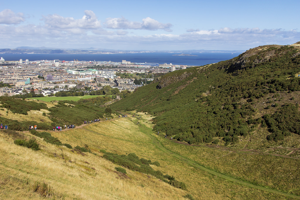
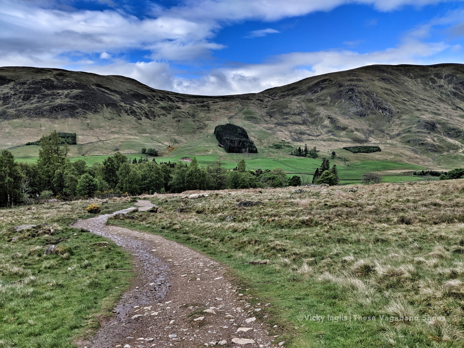
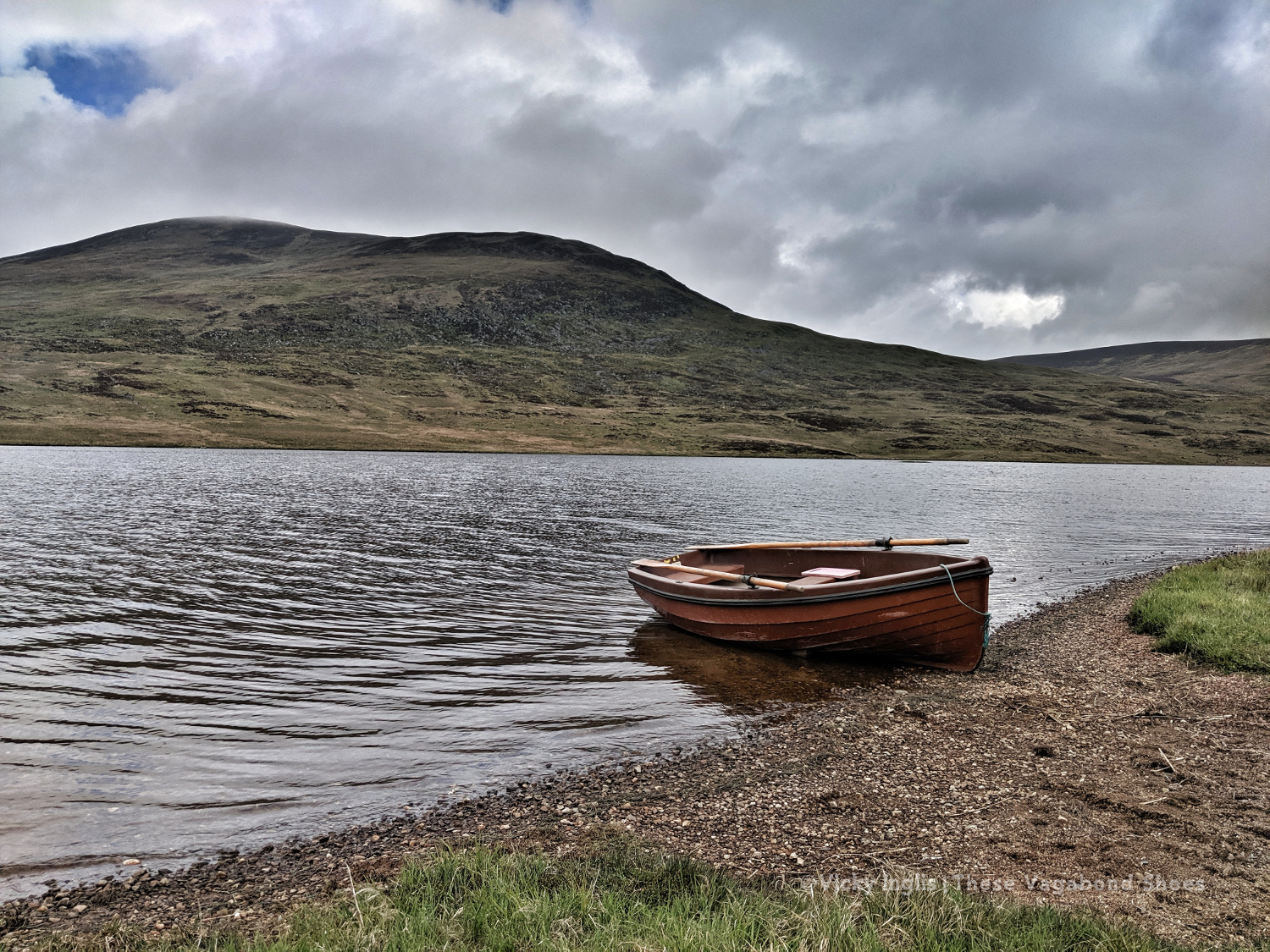
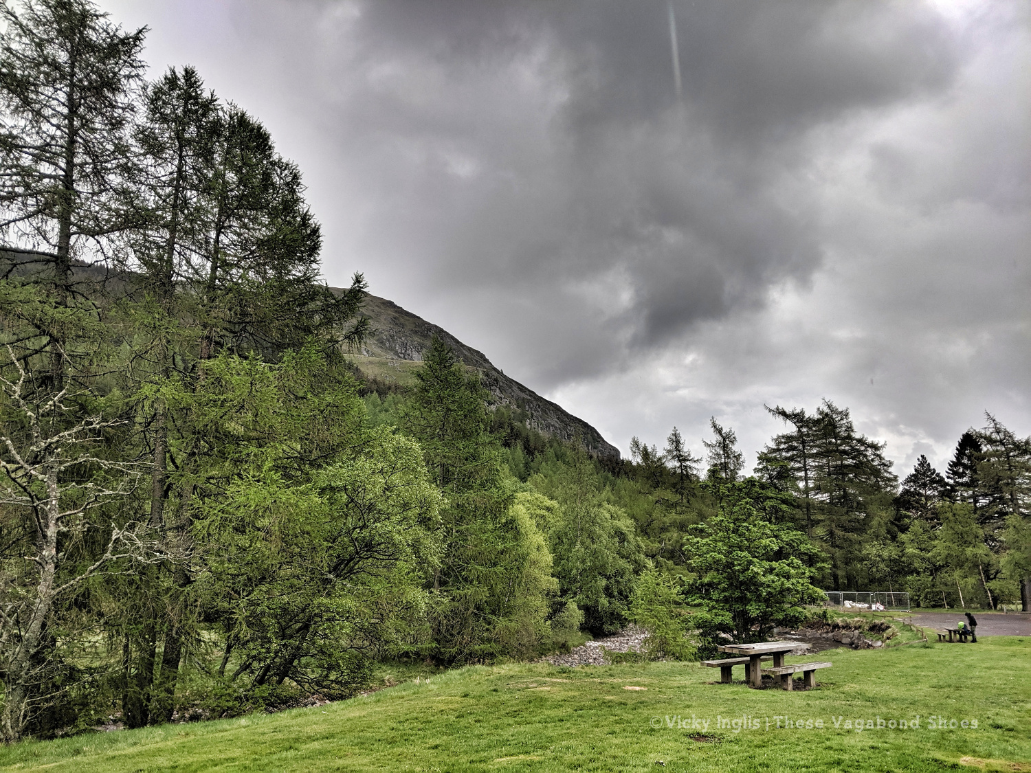
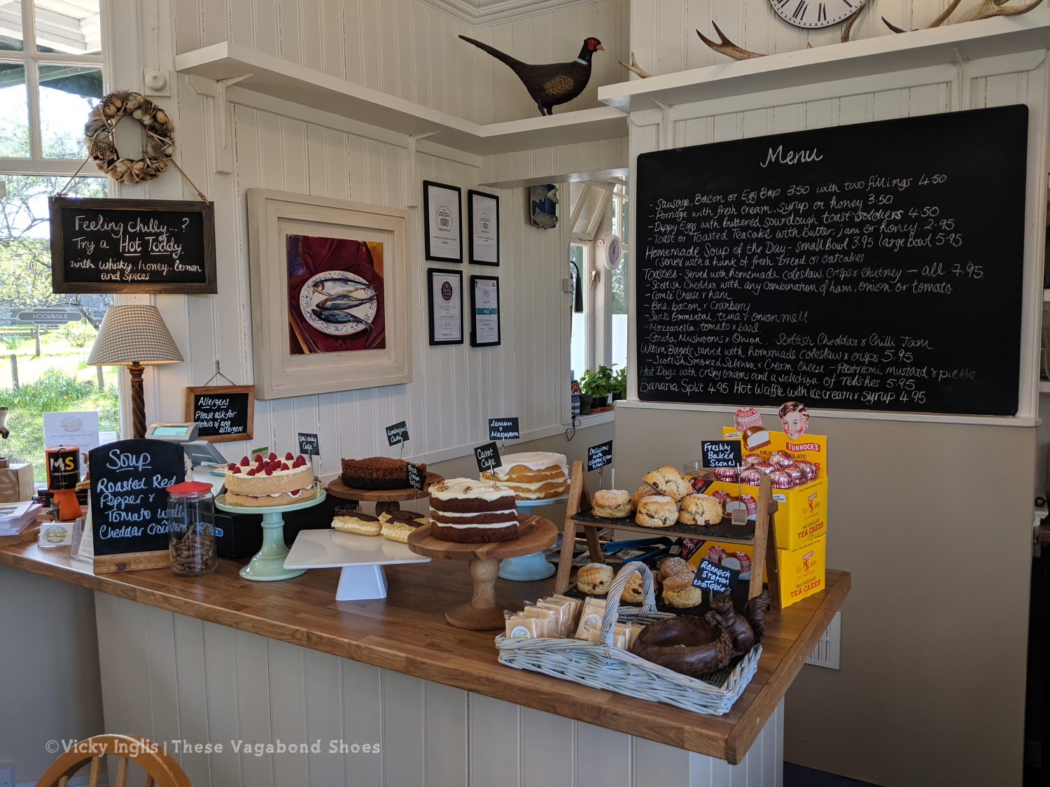
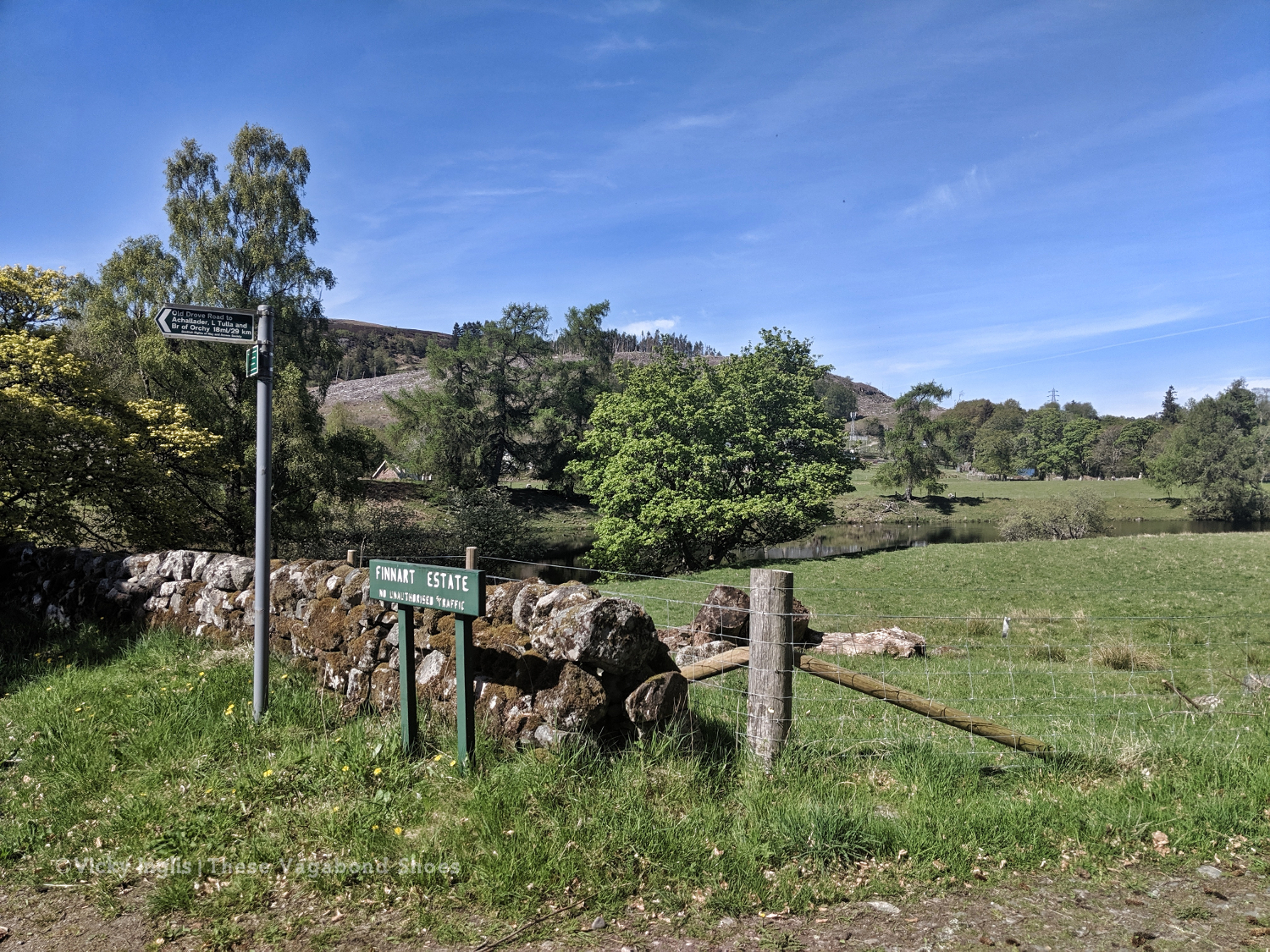
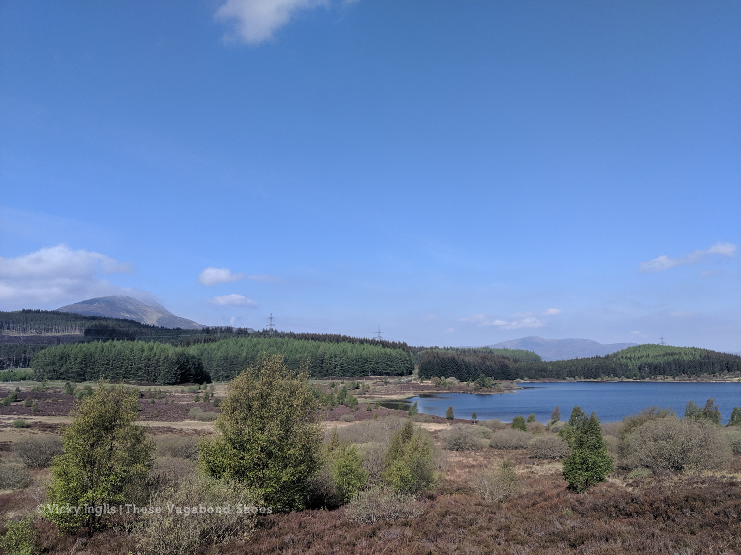
Ballater, in Aberdeenshire, is a gateway to the Cairngorms National Park and a popular base for visitors looking to explore the Eastern Cairngorms and Royal Deeside areas. The picturesque town arranged in a grid around a large green on the banks of the impressive River Dee, has longstanding royal connections, a rich and interesting history, and good access to the more wilder parts of the countryside.
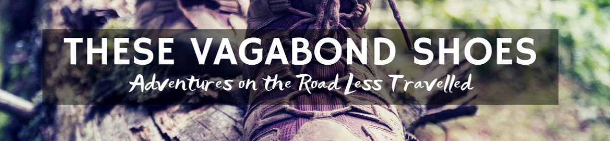
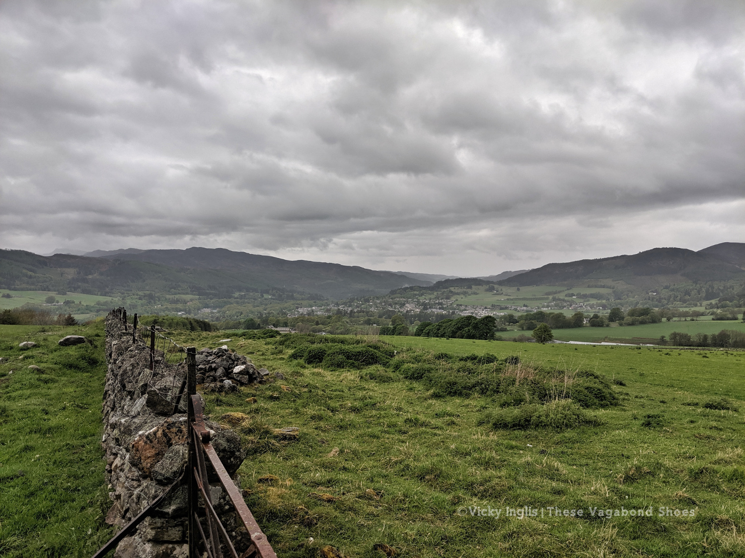
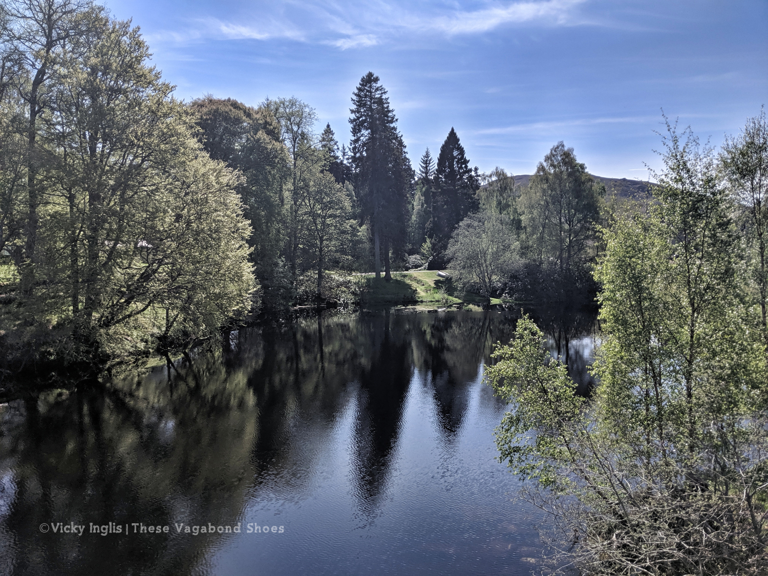
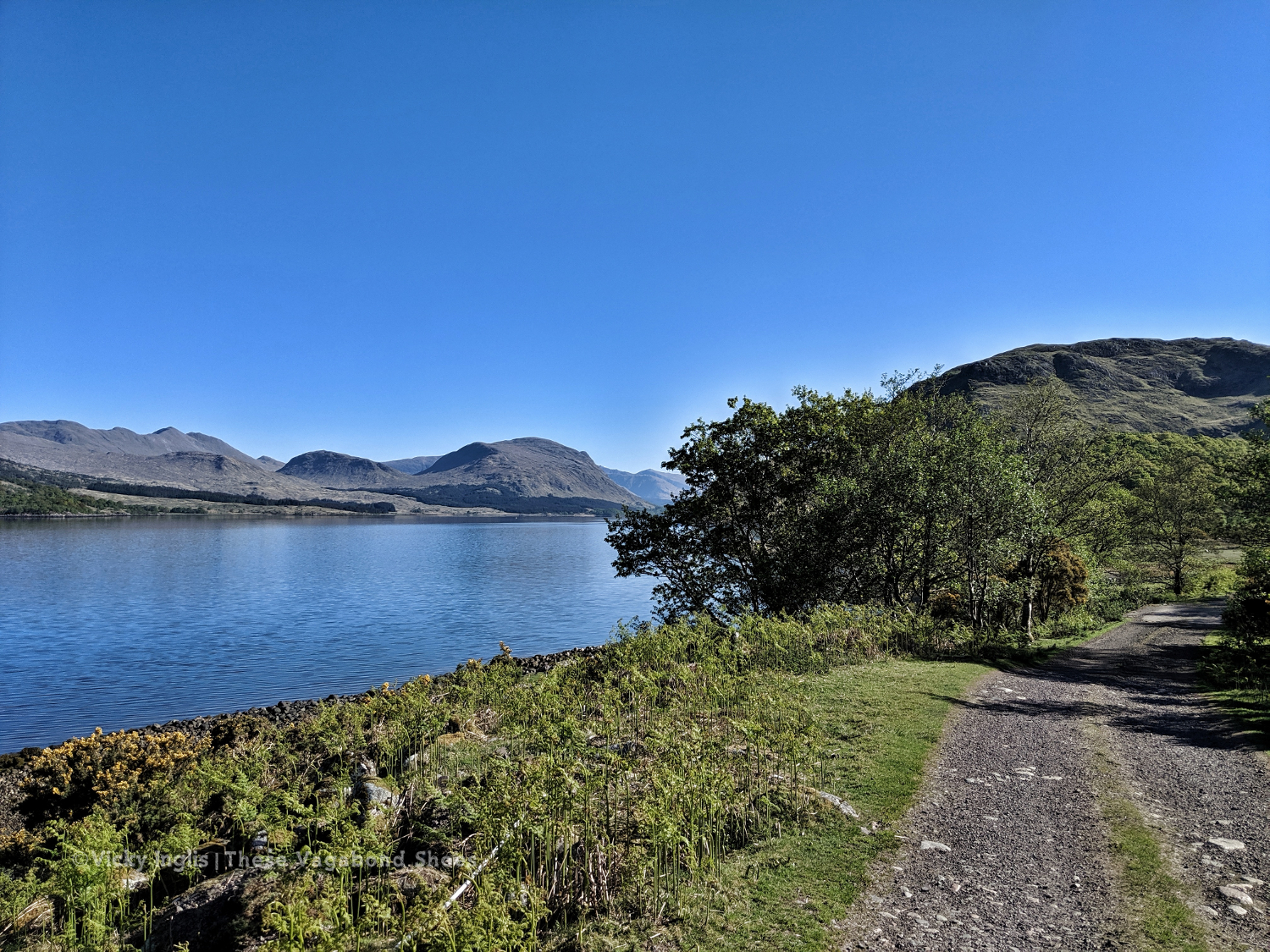
The view along the River Dee to the west of Ballater.
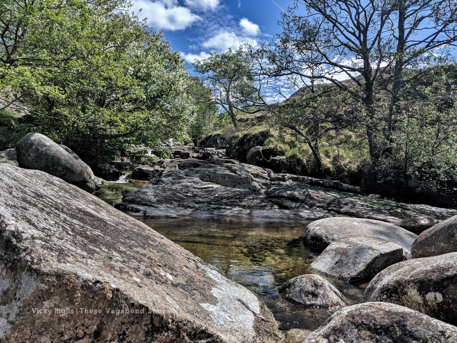
The River Dee rises high on the Cairngorm Plateau, tumbling around 137km (85 miles) down to the sea in Aberdeen. It has the reputation as one of the finest salmon fishing rivers anywhere in the world, and is a protected area for wildlife, like the salmon, otters, and freshwater pearl mussels found in its waters. The area on the south side of the river is also protected in recognition of its importance for golden eagles.
This walk shows off some of the most beautiful landscapes of the middle reaches of the River Dee, and had some excellent opportunities for spotting wildlife.
While international travel has been off the cards for a while now, I’ve been recreating my favourite meals from around the world in my home kitchen, and I’m now feeling confident enough to share some of them with you.
I thought with Burns’ Night just around the corner, I’d start off with my recipe for a vegetarian haggis.
A vegetarian haggis fresh from the oven.
What the hell is a haggis anyway?
A smallish beastie, endemic to the highlands, islands, and rough country of Scotland, a haggis has been compared to creatures such as lemmings, marmots, and guinea pigs*. With a long, golden brown mane, they are perfectly camouflaged against the heather-clad hillsides of the highlands. Highly adapted to their mountain homes, wild haggis have longer legs on one side of their body than the other, enabling them to traverse the most precipitous of hillsides without losing pace, which could leave them highly vulnerable to predation by eagles (probably).
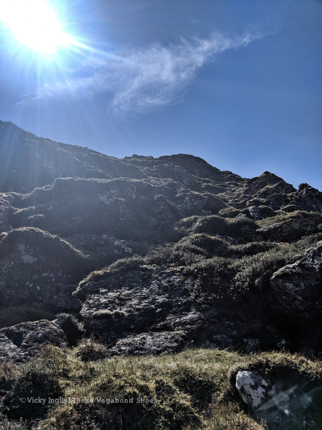
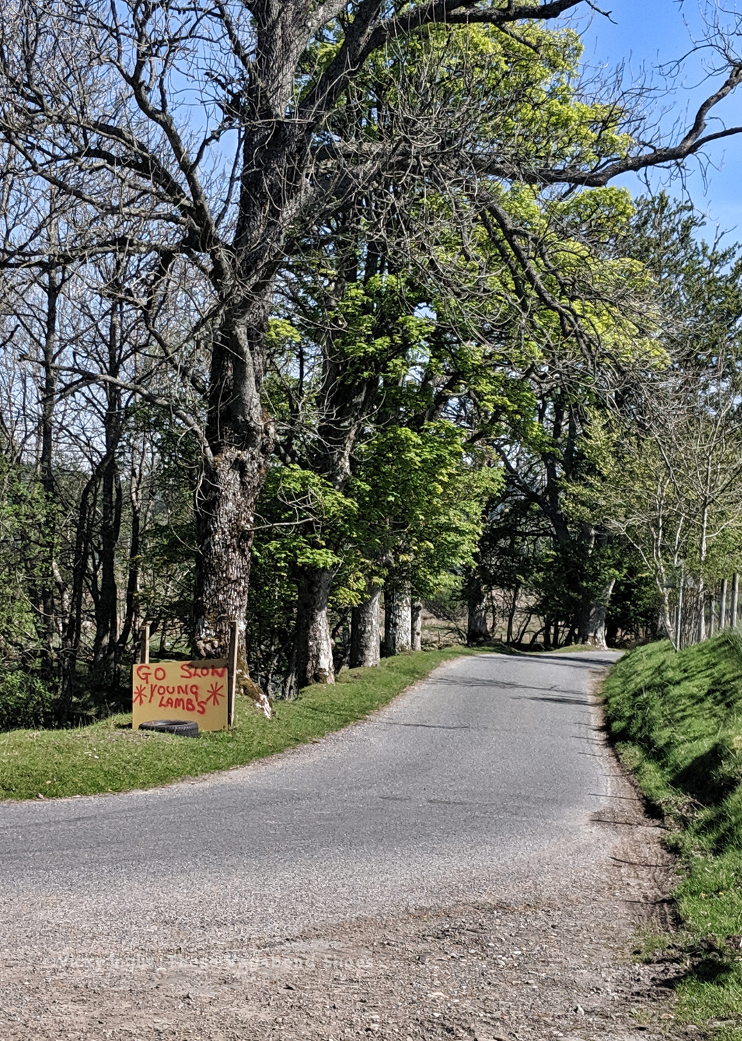
A wild haggis trail following the contour on the side of Schiehallion.
*By me, just now.
It takes considerable hill tracking skills and many hours of watching to observe a wild haggis in its native environment. The best place to see one for yourself, especially if your time in Scotland is limited, is in the natural history section of the excellent Kelvingrove Gallery and Museum in Glasgow. They’re known to have a particular aversion to bagpipes, which are said to sound like the distress call of an adult haggis caught by an eagle. The skirl of the pipes can cause a haggis to start in fear and tumble downhill, which is why professional haggis hunters often play the bagpipes, and why you never usually see wild haggises on the Royal Mile in Edinburgh in August.
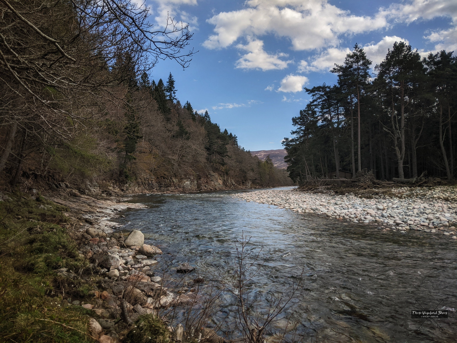
Autumn in the Cairngorms is absolutely sensational. The honey-scented, purple heather-clad hills of August fade to rust-brown as slowly the trees become the main attraction. Birch and bracken glow gold against the dark of the pines, and the woodlands blaze with reds and oranges.
Autumn in the Cairngorms, on a woodland walk near Keiloch.
I had a little holiday around the area with friends that came to visit, staying in a holiday cabin on the other side of Braemar from where I live, and taking a campervan tour of the eastern Cairngorms and Aberdeenshire. I also arranged a couple of wildlife watching trips, going on a beaver watching trip in Perthshire (great success), and visiting Spey Bay to search for dolphins (no luck, though there was some great birdwatching at the river mouth).
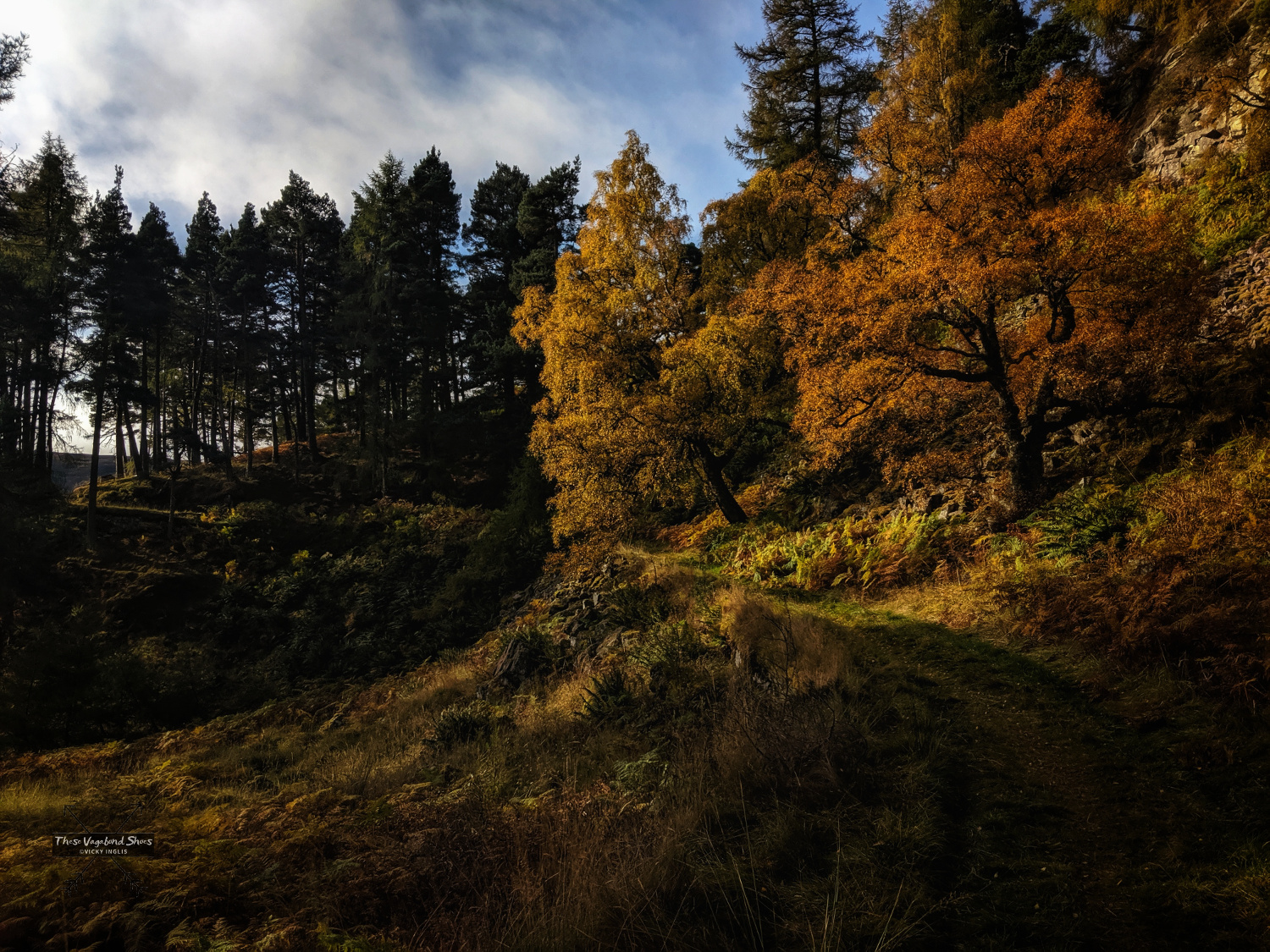
Bow Fiddle Rock on the north Aberdeenshire coast.
My 40th birthday in September was a small family affair, the only opportunity for us to get together this year before Scotland’s COVID guidelines limited the size of groups we were able gather in. It was a joint celebration with my Dad and nephew Joe who had their birthdays in August, when the City of Aberdeen was in local lockdown and they were unable to have any visitors themselves. We had a BBQ in my parent’s garden to give enough space for physical distance between households, and fortunately the sun shone, and the windbreak I spent most of the morning constructing held up.
The final day of September was a golden respite from the first of the autumn storms, which left the signs of winter etched on the mountains. I made the long stomp up to Ben Avon and Beinn a’Bhuird from the Linn of Quoich on a frosty morning, arriving early enough to find a skin of verglas over the granite tor of Leabaidh an Daimh Bhuide and tiny pockets of snow behind tussucks on the plateau, sheltering from the low autumn sun.
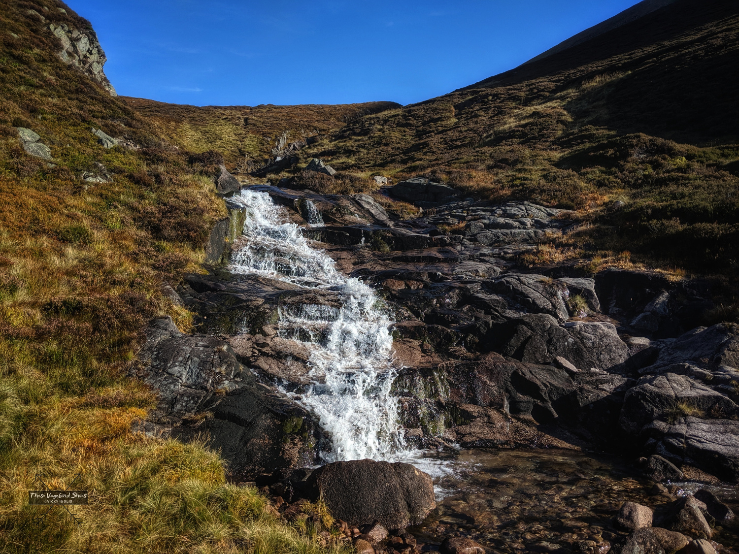
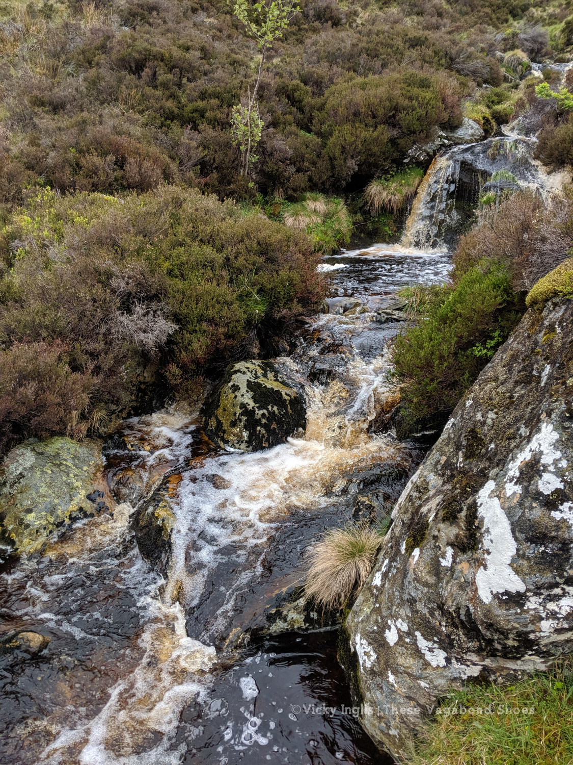
The Glas Allt Mór waterfall below Clach a’ Cleirich.
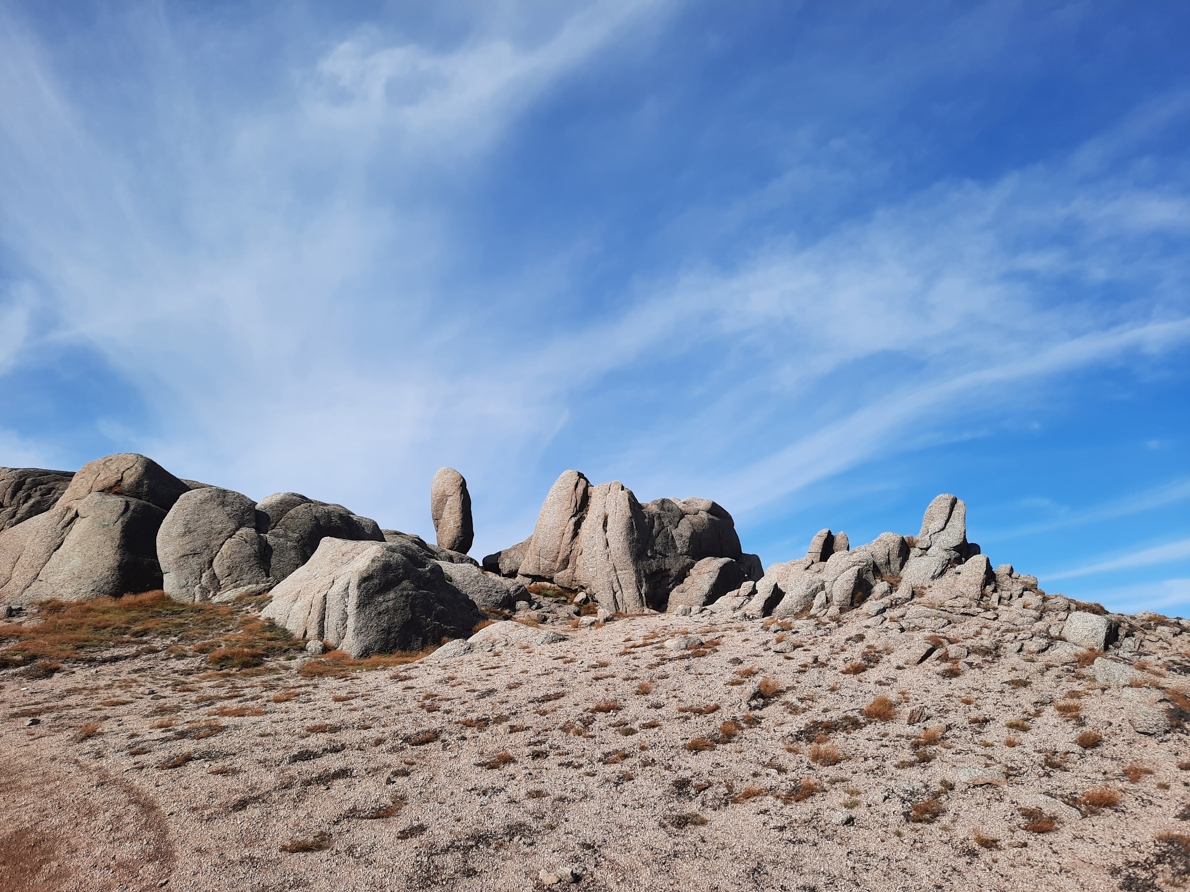
Granite tors on the Sneck, the narrow neck of land between the massifs of Ben Avon and Beinn a’Bhuird.
My seasonal job with the Cairngorms National Park Authority came to an end at the beginning of November, which left me with some free time of my hands. I’ve been out exploring more of the areas that lie on the periphery of my usual patrol routes, making the most of the fair weather and trying to keep up with the amount of walking I was doing during the summer, usually between 10 and 15km per day. It’s going to be a bit of a challenge with the lure of the indoors in wet and wild weather.
I’ve always found it a bit harder to do things at this time of year, with the combination of short daylengths and wilder weather making me feel like curling up in bed and hibernating for the rest of the season. I’ve got a natural daylight lamp for the time I spend indoors on the computer, and I’ve been making the effort to spend at least some time outdoors every day this month, as I know how much benefit it brings me. I’m aiming keep it up all through the winter.
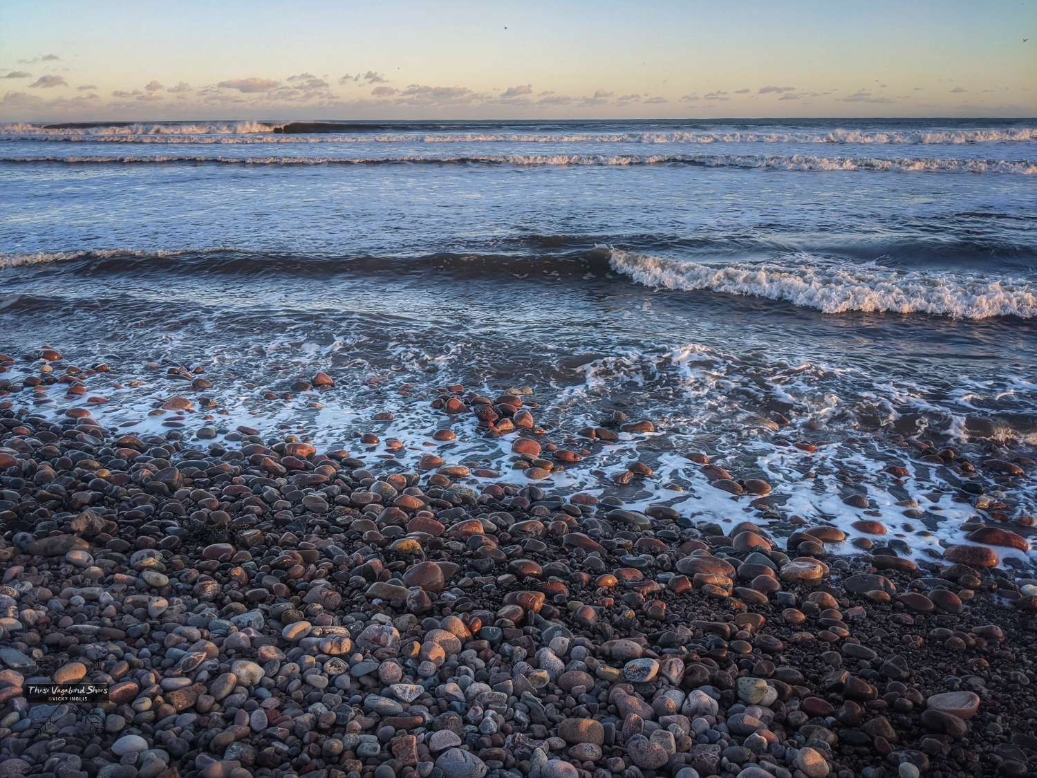
A few minutes on the beach at Benholm watching the surf at the turn of the tide.
My other interesting reads from this season can be seen here.
Podcast: January this year marked the 200th anniversary of the first sightings of Antarctica, and the UK Antarctic Heritage Trust had planned a programme of events to celebrate the occasion. Due to the pandemic, those which could go ahead were shifted online and a new podcast, A Voyage to Antarctica, was created, with contributions from filmmaker Ruth Peacey, writer Sara Wheeler, and UKAHT’s CEO Camilla Nicol.
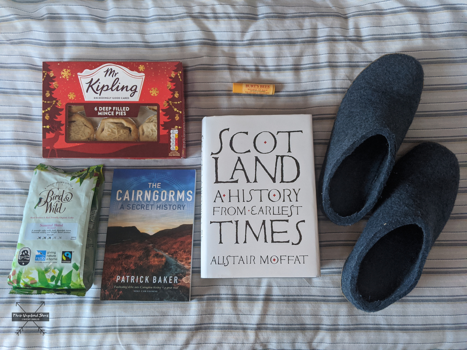
Clothing: In anticipation of winter, I’ve splashed out on a pair of the toastiest wool slippers from Glerups. After a day out walking in the hills, they’re a delight to slip my feet into to pad around the house in the evenings.
Self-care: I’ve picked up a lipsalve from Burt’s Bees to last through into the winter. It’s a lovely, tingly peppermint flavour.
A few of my favourite things from autumn 2020, preparing for a cosy winter.
Equipment: I started using a natural daylight lamp, the Lumie Vitamin L lightbox, in early October to help with seasonal affective disorder. I put it on for half an hour or so after my alarm sounds in the morning, and read a few pages of my book soaking in the light before getting up. And now I’m not going out to work everyday, I’ll put it on for an hour or so in the afternoon while I work on the computer.
Treat: It’s got to be mince pies. As they appear in the shops in late September, usually the week after my birthday, I try to get a selection of the different supermarket varieties for a taste test, to work out my preferred brand for the rest of the season. Currently in the lead position are the ones from the Co-op, although the proximity of the shop has also had a big influence. The ideal accompaniment, for a wintery weekend afternoon, is an amaretto-laced coffee, with my favourite Bird & Wild blend.
What’s Next?
My plans to visit the New Forest and the Isle of Wight in November, then catch up with friends around the south of England have been put on hold again with the COVID lockdown in England. I’ll keep my fingers crossed things might improve by the New Year to allow me to reschedule.
I’ve got my fingers crossed for a bit of work in January, joining the refit of one of the boats I’ve worked on previously. And hopefully that will also bring the opportunity for a short holiday afterwards, though again that all depends on open travel corridors from the UK to Portugal.
In the meantime, I’ve thrown myself into planning a few long walks in my local area and further afield, completing a few online courses, and appreciating winter comforts close to home.
What have you been up to over the last season? How are you affected by the current COVID guidelines where you are?
Remember I’m always here if you need a friendly ear to listen; I’d really love to hear from you.
This post contains some affiliate links. If you purchase through my link, I’ll make a small commission* on the sale at no additional cost to you. These help me continue to run the site, providing tips and advice, and sharing stories from my adventures. Thank you for supporting me.
*Maybe enough for a coffee. Not enough for a yacht.
Few countries can match Scotland for a landscape so wildly beautiful and dramatic; sweeping glens, rugged peaks, historic castles, and ancient forests make it an irresistible draw for hikers. And even the notoriously fickle Scottish weather can’t detract from the hauntingly bleak splendour of the landscape.
The most mountainous terrain in the British and Irish Isles, Scotland has 282 Munros, mountains over the magic 914 metres (3000′), named for Sir Hugh Munro, compiler of the first list, inspiring many hikers to “bag” the full set. The best rank among some of the best mountains in the world. The highest is Ben Nevis at 1345 metres (4412′).
But it isn’t essential to claim the highest summit to reap the rewards of hiking in Scotland. With thousands of kilometres of coastline, hundreds of islands, lochs, and hills only lesser in height, not character or challenge. Whichever routes you chose, you’ll be treated to fresh air life, spectacular views, and that feeling of freedom that comes with hiking in wild places.
And the best part is that this is so very accessible here in Scotland, and less than a couple of hours from the biggest cities and towns, it’s possible to feel a sense of remote wilderness. So get your boots ready for these eight great day hikes, for whichever part of the country you’re visiting. Or include them in your plans for a Scottish road trip.
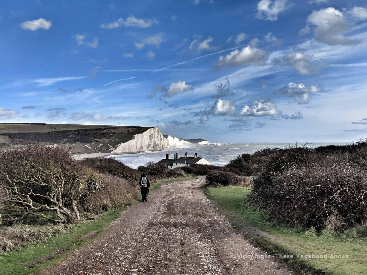
Freelance work kept me busy through March, but I was able to spend a week away in the South Downs National Park leading a walking holiday. Wild, windy weather made some of the routes quite challenging, but I was excited to explore a new area. My favourite walks were on the downs around Arundel, and along the Cuckmere valley to the famous Seven Sisters viewpoint.
The famous Seven Sisters view from just above the Coastguard Cottages on Seaford Head.
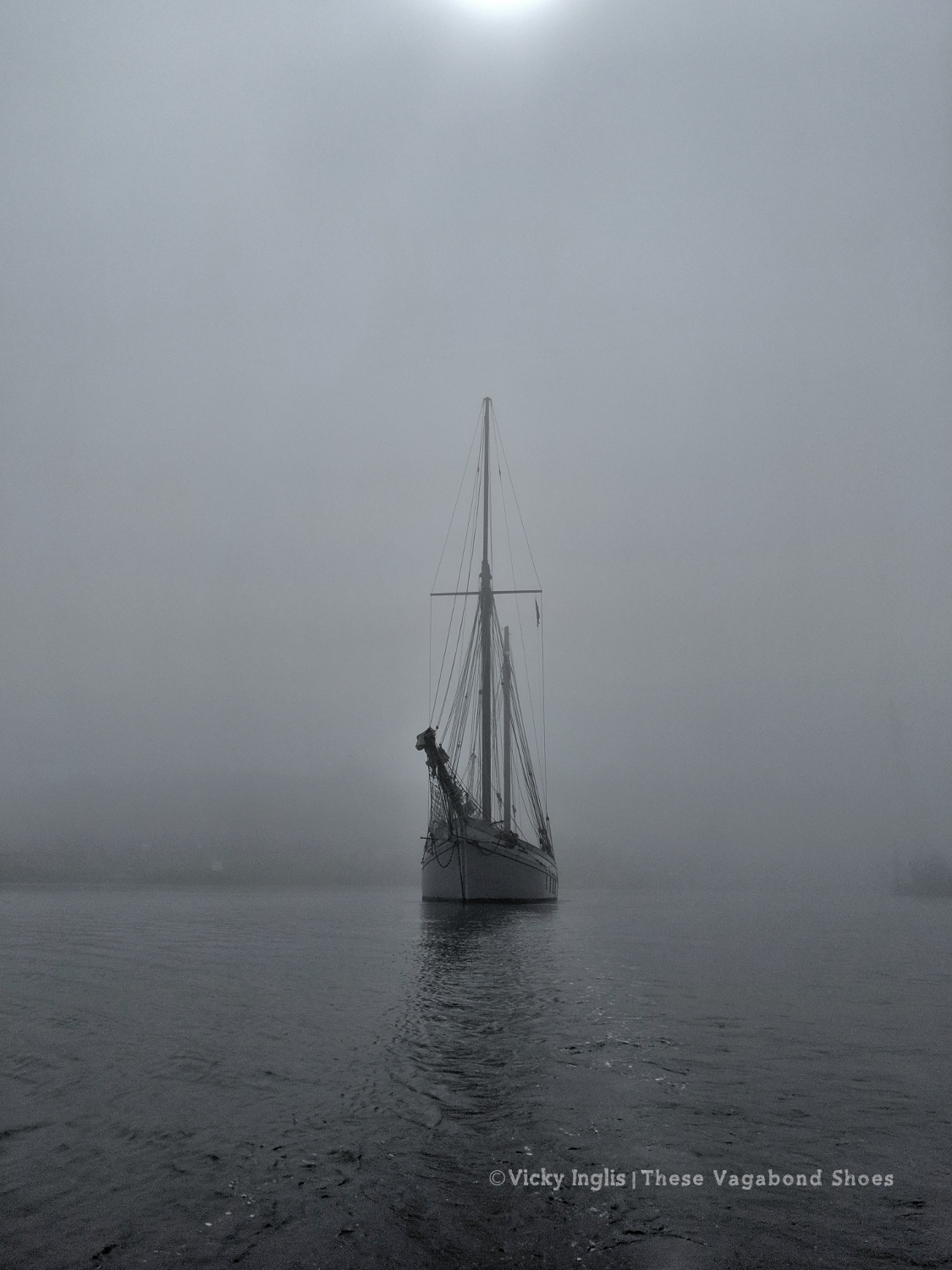
At the beginning of April, I moved south to Devon, to start work as part of the crew of the traditional sailing ketch Irene of Bridgwater. We spent the first part of the season based out of Dartmouth, visiting the nearby ports of Brixham and Salcombe regularly, with a one-off trip to Weymouth, where we disappeared into the fog. Taking the lookout on the bow with only around 20 metres visibility, in a 38 metre (124′) ship, is one of the most nerve-wracking things I’ve done.
Leading the way out of Weymouth harbour in the fog in the tender, with Irene following close behind.
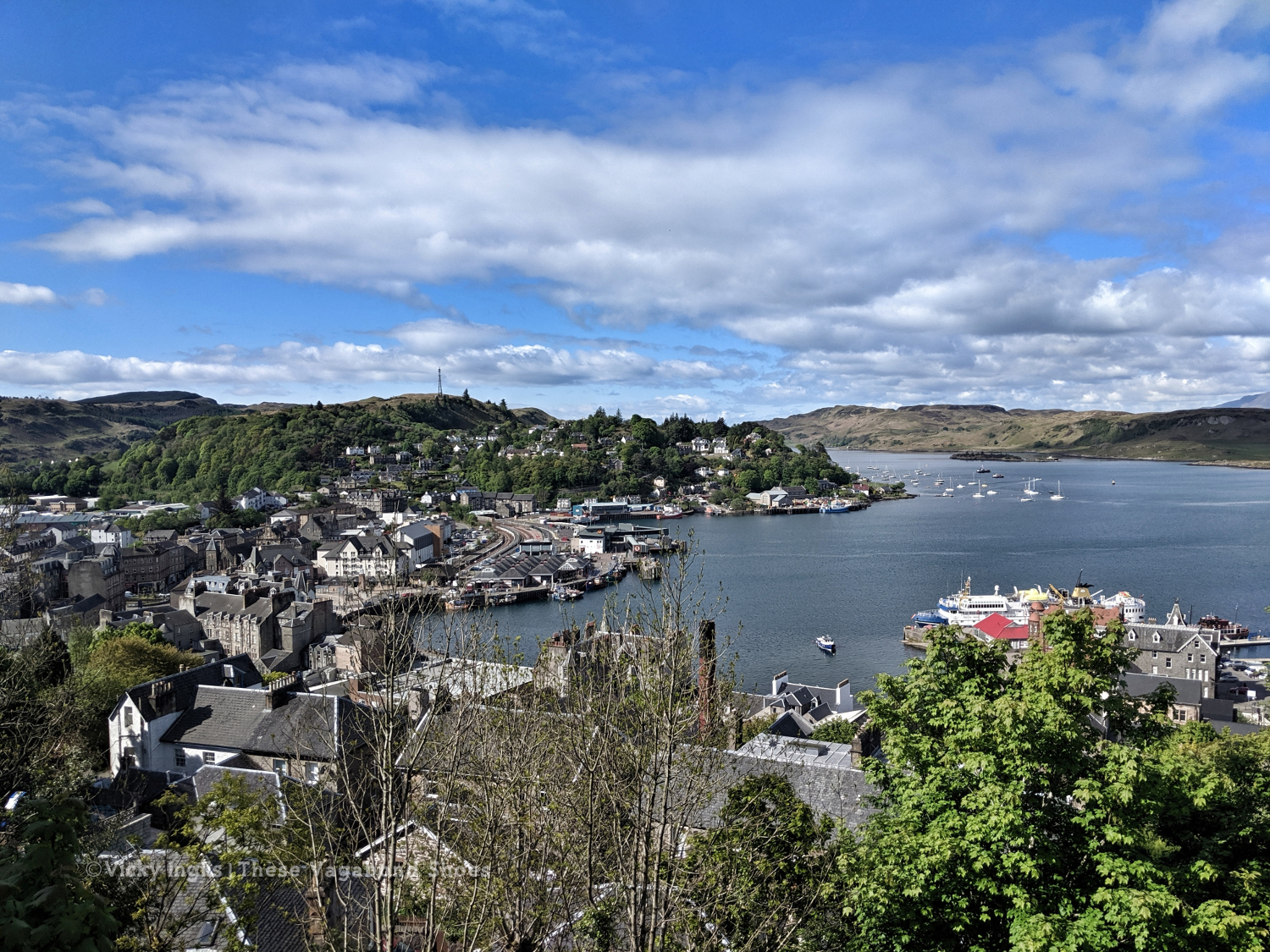
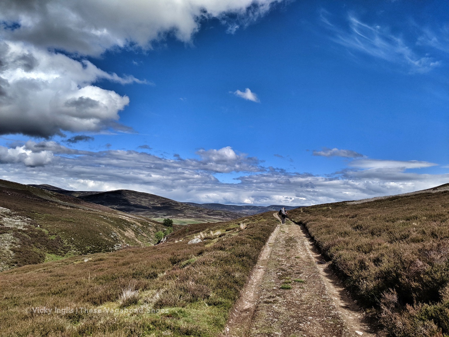
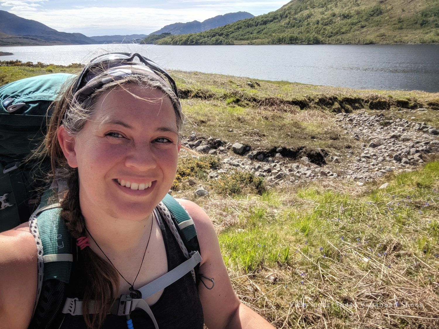
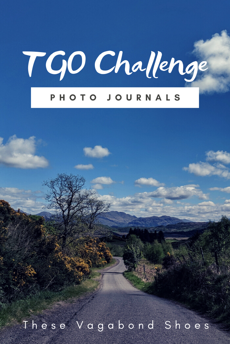
If you ever plan to visit Dartmouth, be aware that it’s much easier to reach with a boat than on public transport or even by car. As soon as my leave began in May, it was a rush to head north. I had to pick up my backpacking kit and make my way to Oban, the starting point I’d chosen for the TGO Challenge.
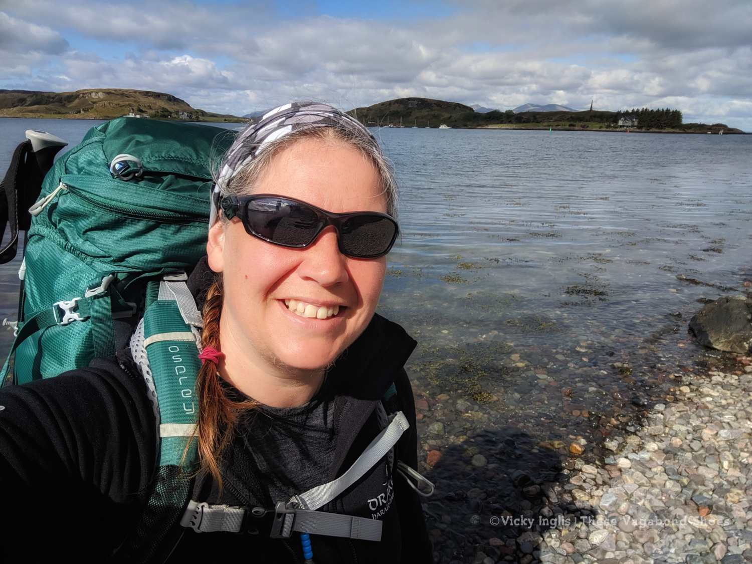
A glorious day to go for a walk. Starting the TGO Challenge in Oban on the 11th of May.
After the previous day’s attempt to make any kind of distance was a failure, I mentally reset myself ready for the last few days walking with a night at home; hot shower, real food, and good night’s sleep in a real bed. In the morning I returned to Clova feeling much more sparky than I had the previous day.
Heading into the hills behind Clova. Are the blue skies going to stay today?
Loch Brandy, tucked neatly into a corrie above Clova, like the illustration in a geography textbook.
Looking eastward down Glen Clova from Green Hill.
The moderately-sized cairn on Muckle Cairn.
It turned out to be a good thing; putting myself a day behind my planned schedule for the Challenge meant I actually met up with more challengers than I would’ve otherwise. I met a few on the track from Clova up to Loch Brandy, then picked up a walking buddy having navigation difficulties to cross the hills down to Inchgrundle and the end of Loch Lee.
Crossing falls and fords on the descent into Glen Lee.
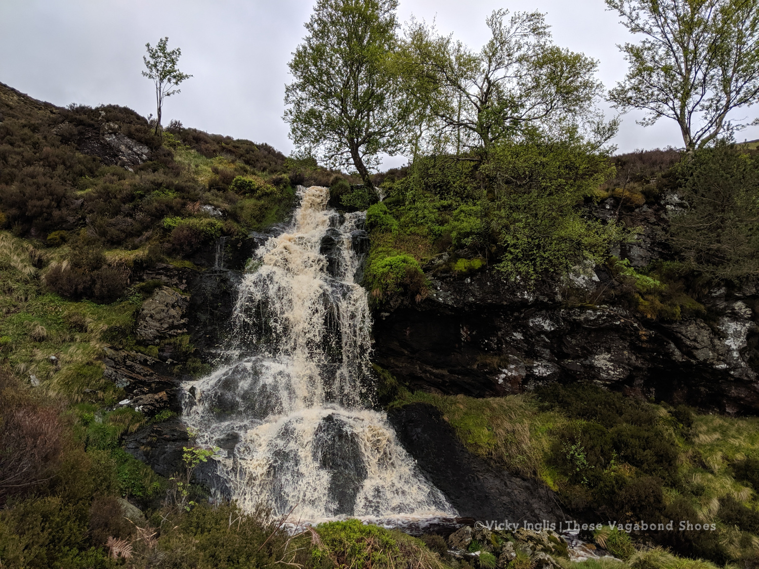
Waterfall on the Burn of Tarsen.
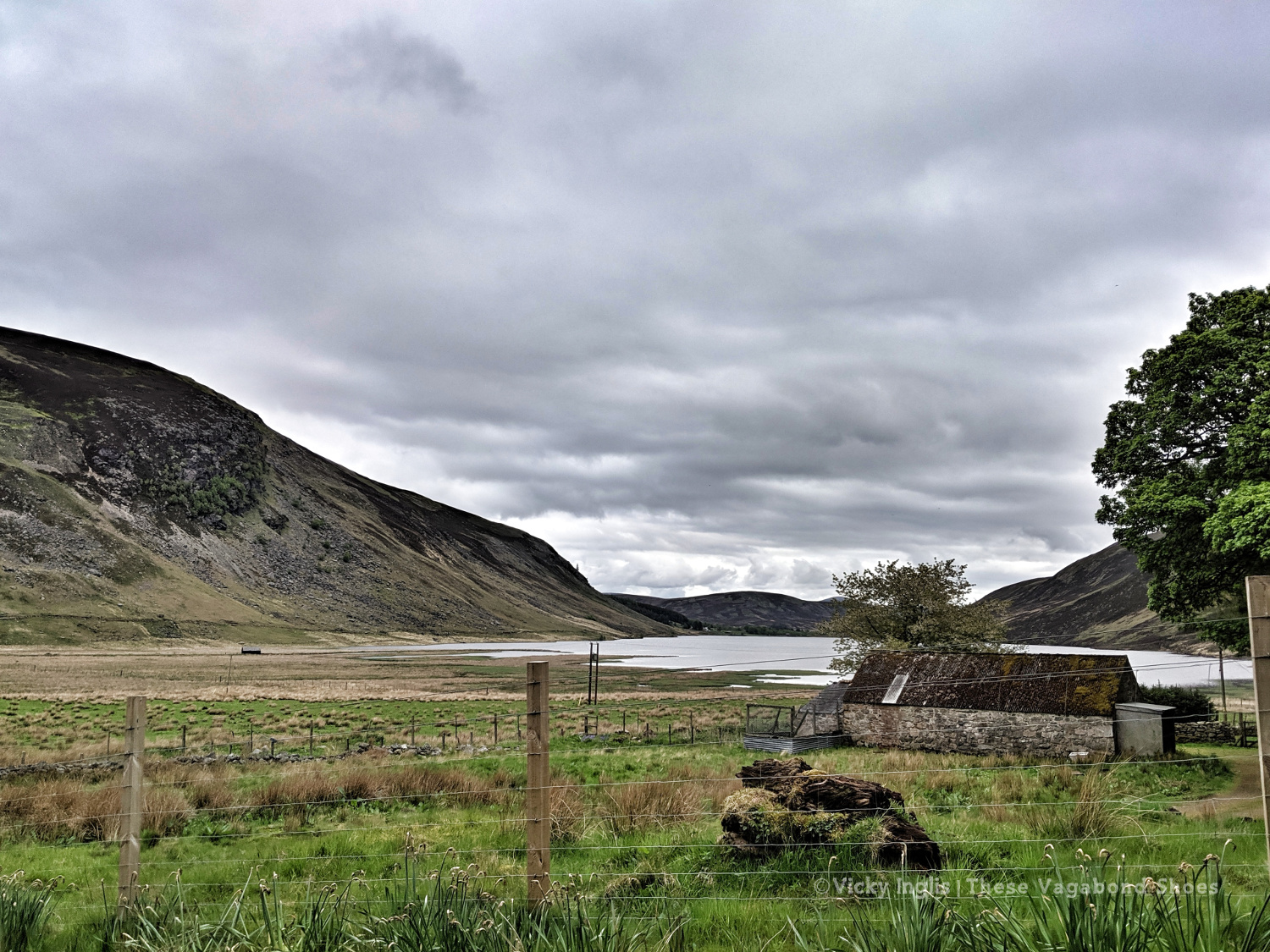
Inchgrundle, at the western end of Loch Lee.
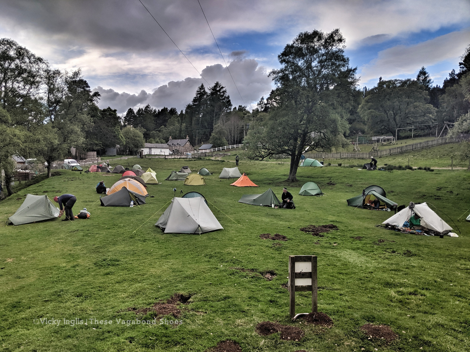
The well-trodden route from Clova to Tarfside is always busiest on the second Tuesday of the TGO, along with the other routes that converge into Glen Esk. It was also walking familiar very ground for me, bringing back memories of Duke of Edinburgh expeditions, walks on school trips, and camps with the Guides.
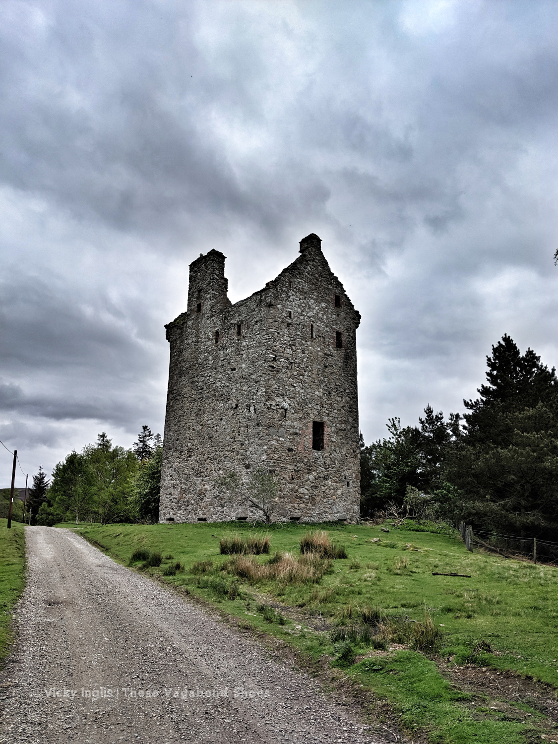
Invermark Castle.
Tracks around the Hill of Rowan.
Almost in Tarfside
After walking much of my route on my own, meeting up with friends at various points along the route, it was a little bit of a shock to the system to be amongst so many people in Tarfside. But it also showed me that one of the real highlights of the event is the other challengers that you meet on the way as you become part of the extended TGO Challenge family.
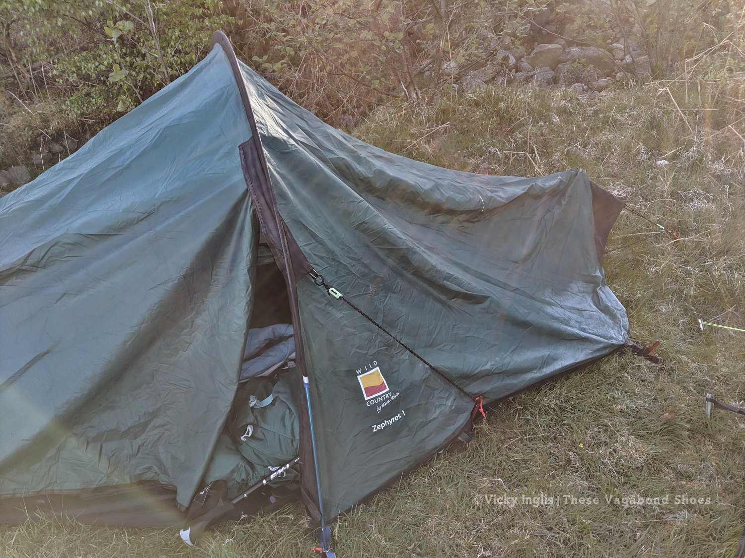
Tarfside tent city.
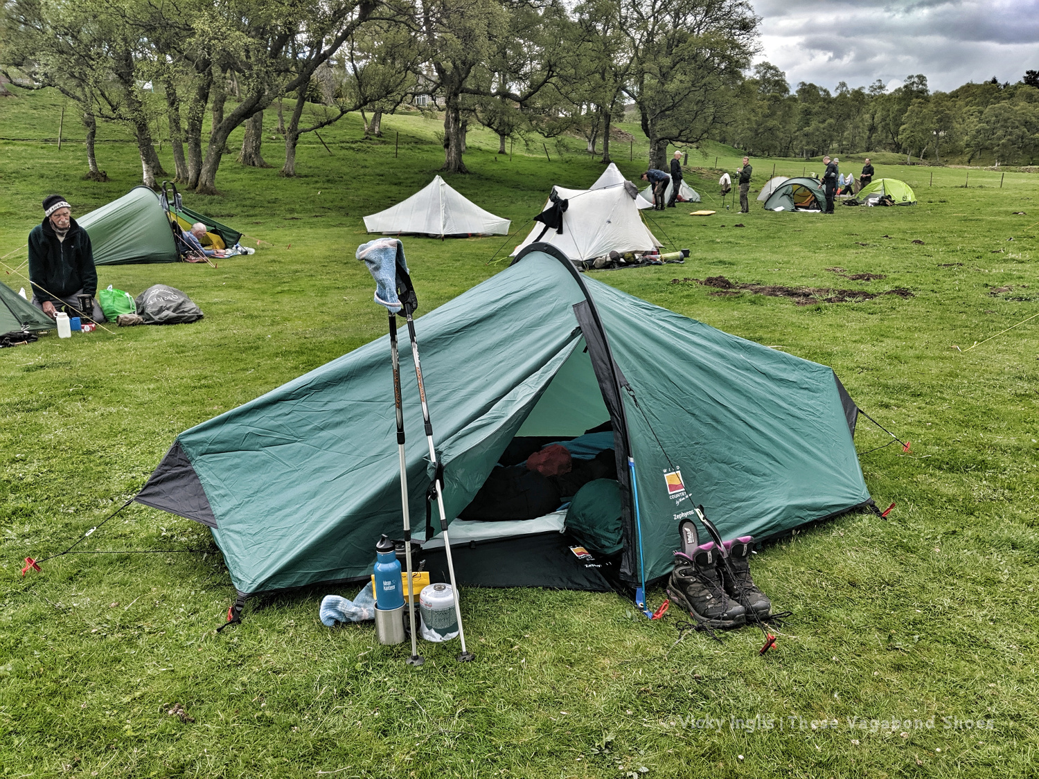
The pitching is starting to look better. Much less saggy. Still not in love with this tent though.
Wednesday 22/5
TGO Day 10: Tarfside to Garvock viewpoint
Distance: 33km
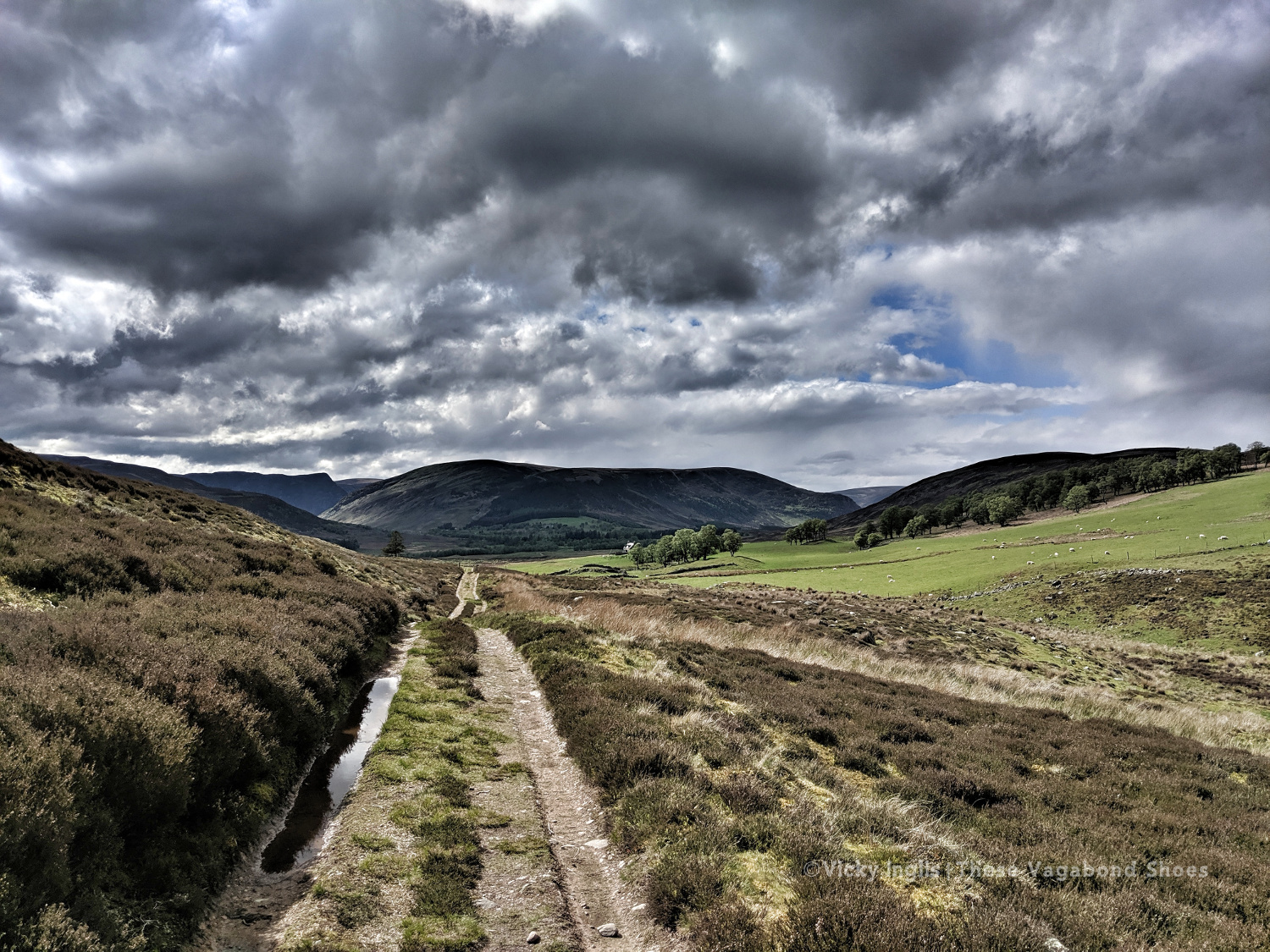
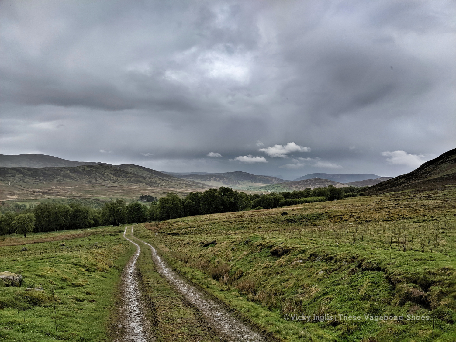
After an excellent night in Tarfside in the company of other challengers, I was back walking on my own again for most of the day. Everyone else seemed to be heading in the direction of Edzell and Northwaterbridge, but to reach my finish point at home at the Haughs of Benholm, I had to find a more northerly route and struck out over the hills to Fettercairn.
The Modlach tower near Auchentoul in Glen Esk.
Moody skies on the way through Glen Esk. Short, sharp showers through the morning, but the promise of sunshine later in the day.
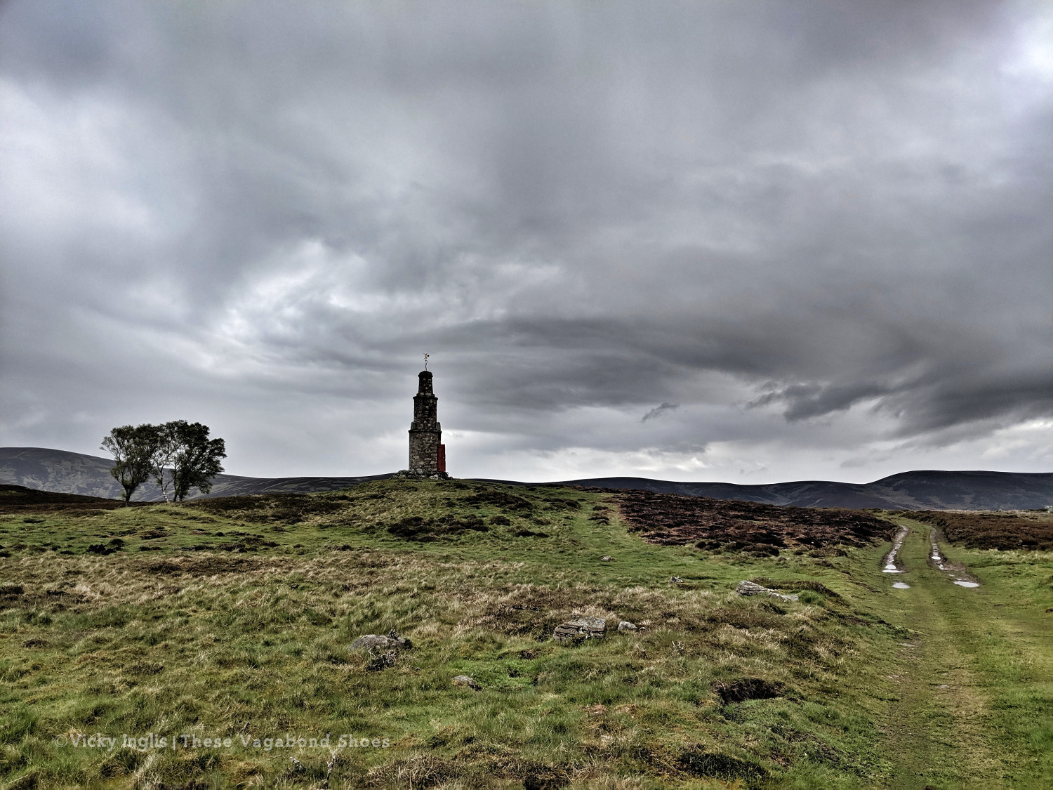
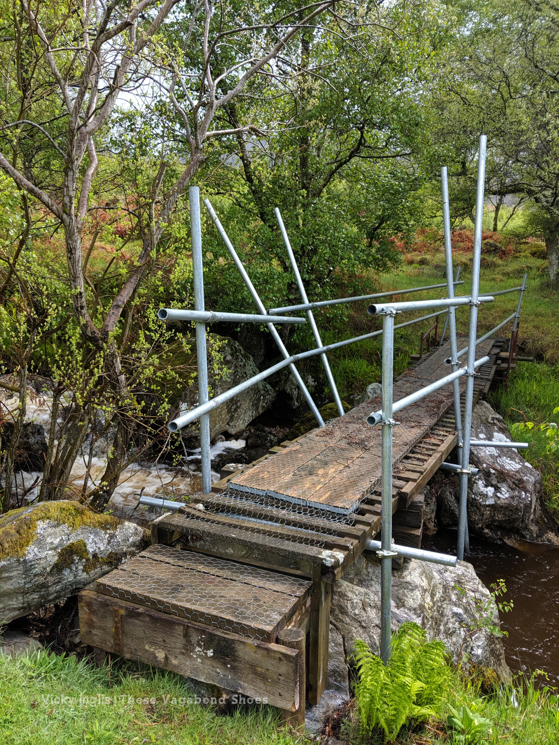
Safety third. Creative ways to cross the burns #2
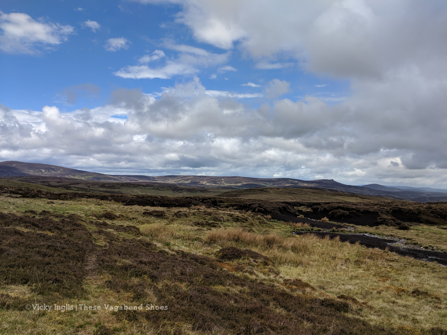
Looking across to Mount Battock, Clachnaben looking like a surfacing porpoise at the eastern end of the ridgeline.
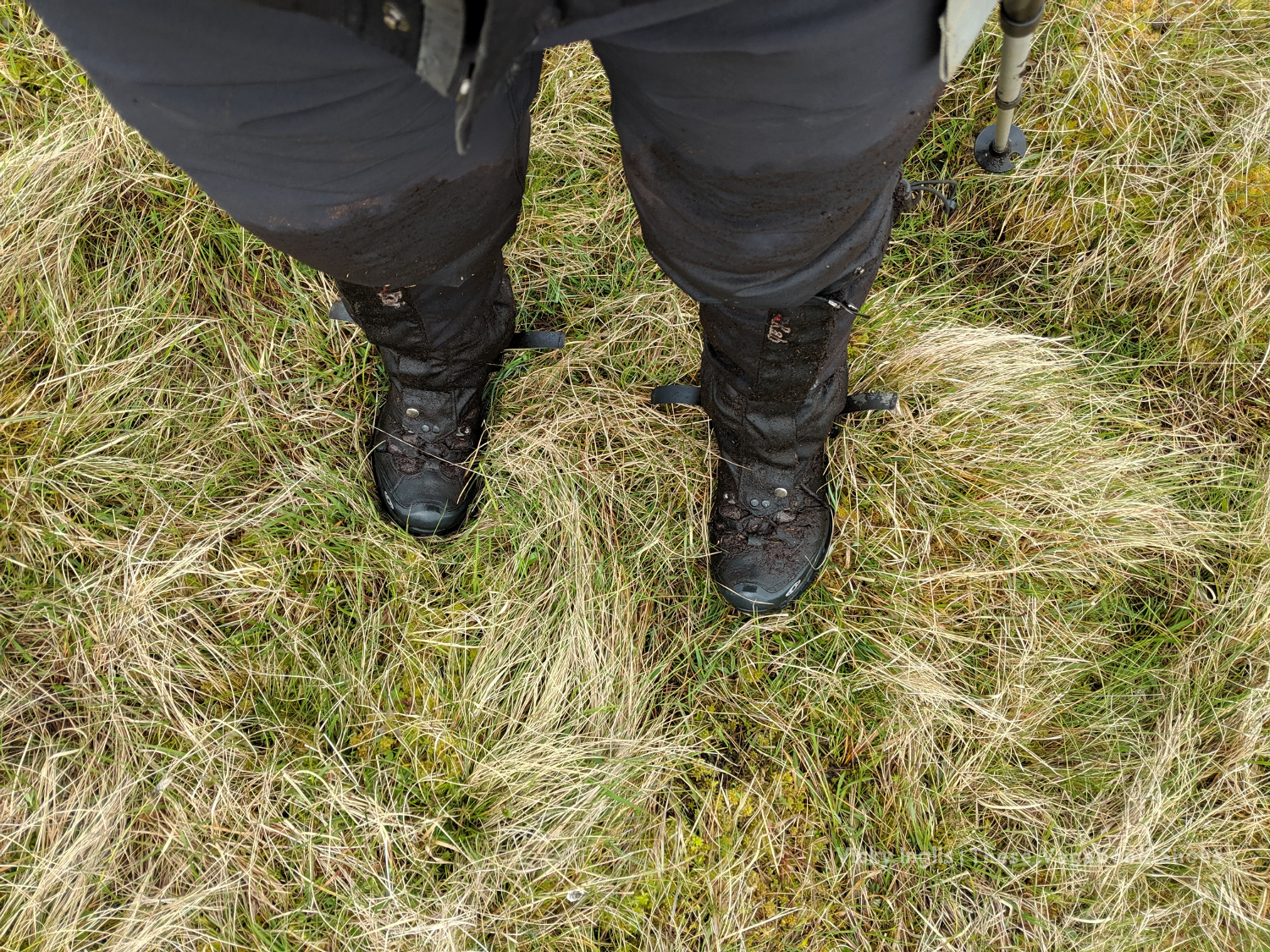
I quickly discovered why few others took this route, after running out of hill tracks on Craigangowan and wandering into a huge bog cut with peat hags, and crossed by a deer fence. I waded, crawled, fell, and slithered for what was possibly only just a couple of kilometres, but it took me well over an hour (definitely due to walking conditions, not the hangover) to rejoin the hill tracks around Sturdy Hill.
How deep is this bog? At least to mid-thigh.
Sturdy Hill after what seemed like hours. So glad to be back on a hill track.
First glimpses of the North Sea on the horizon. Not long to go to the end.
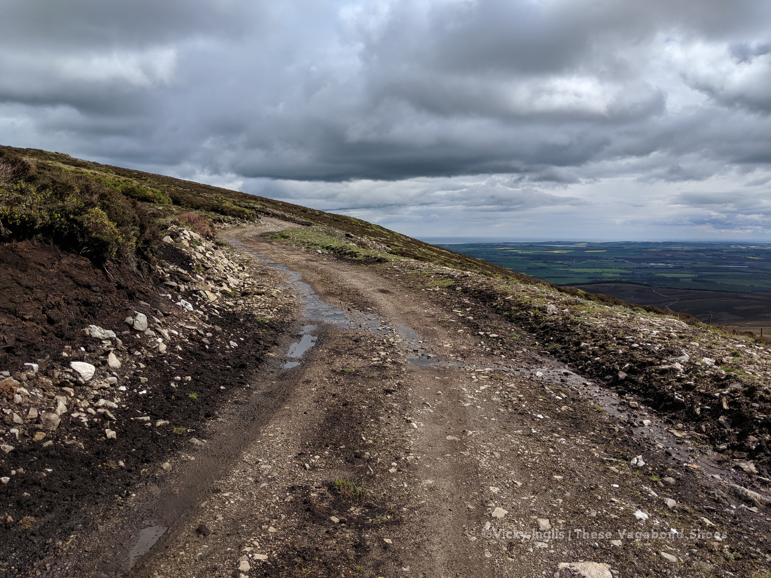
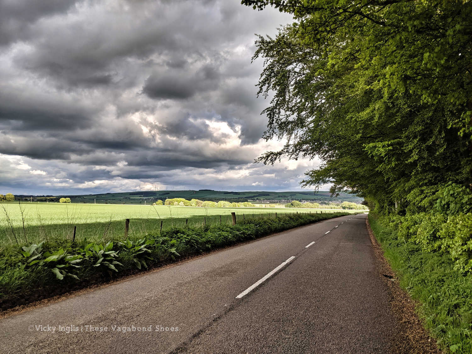
Once back on the road, after a coffee break in Fettercairn, I pushed on as far as I could keep going for, with less than 45 km to end up at home, knowing I’d be able to take the following day to recover. But as the day wore on I got slower and slower, plodding on up the hill before grinding to a halt and stopping for the night at the Garvock viewpoint. Completely tired out, but really pleased with the effort for the day. A distance of 33km covered, and just over 10km left to go to the end of the TGO Challenge.
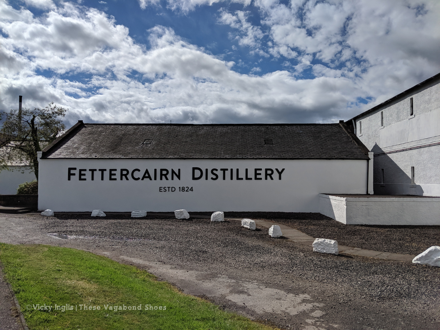
Fettercairn Distillery, on the edge of the village. Starting to feel close to home.
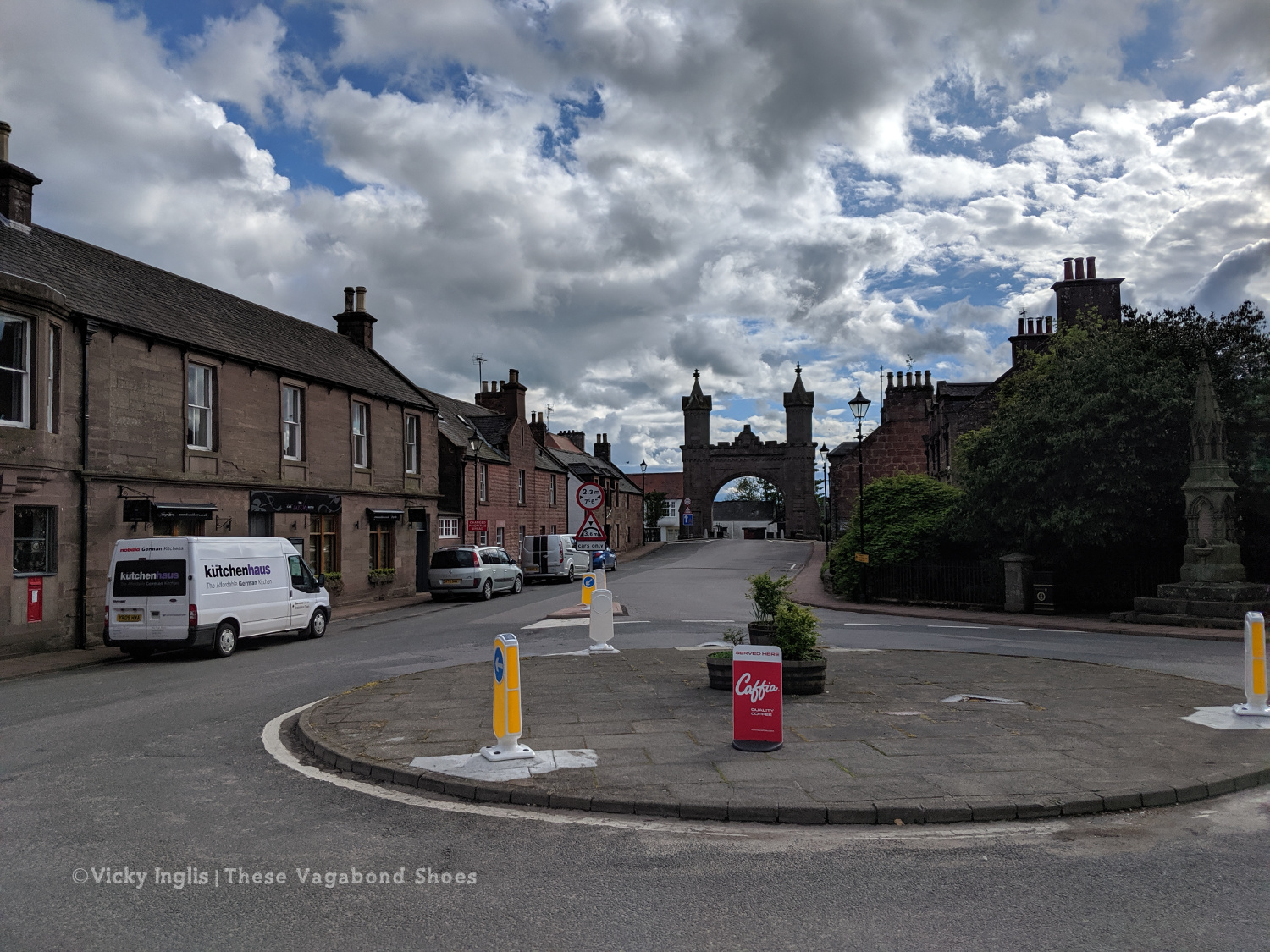
The Royal Arch in Fettercairn.
Road walking towards Laurencekirk.
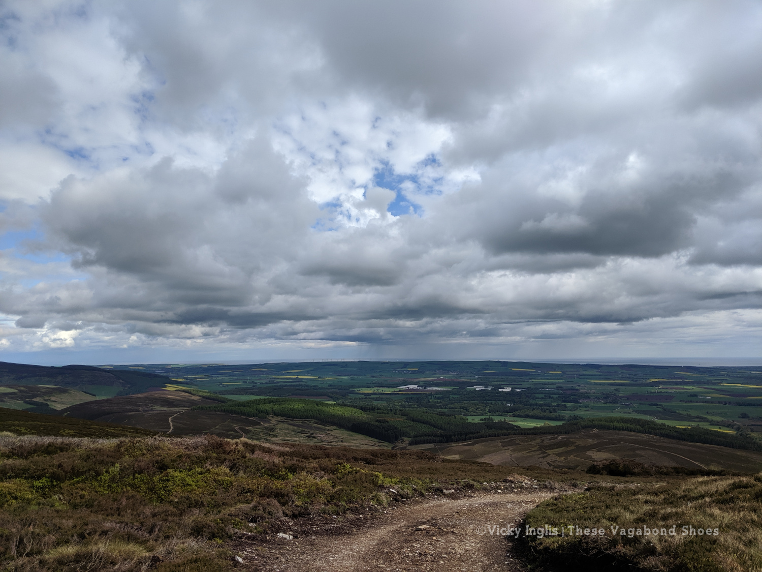
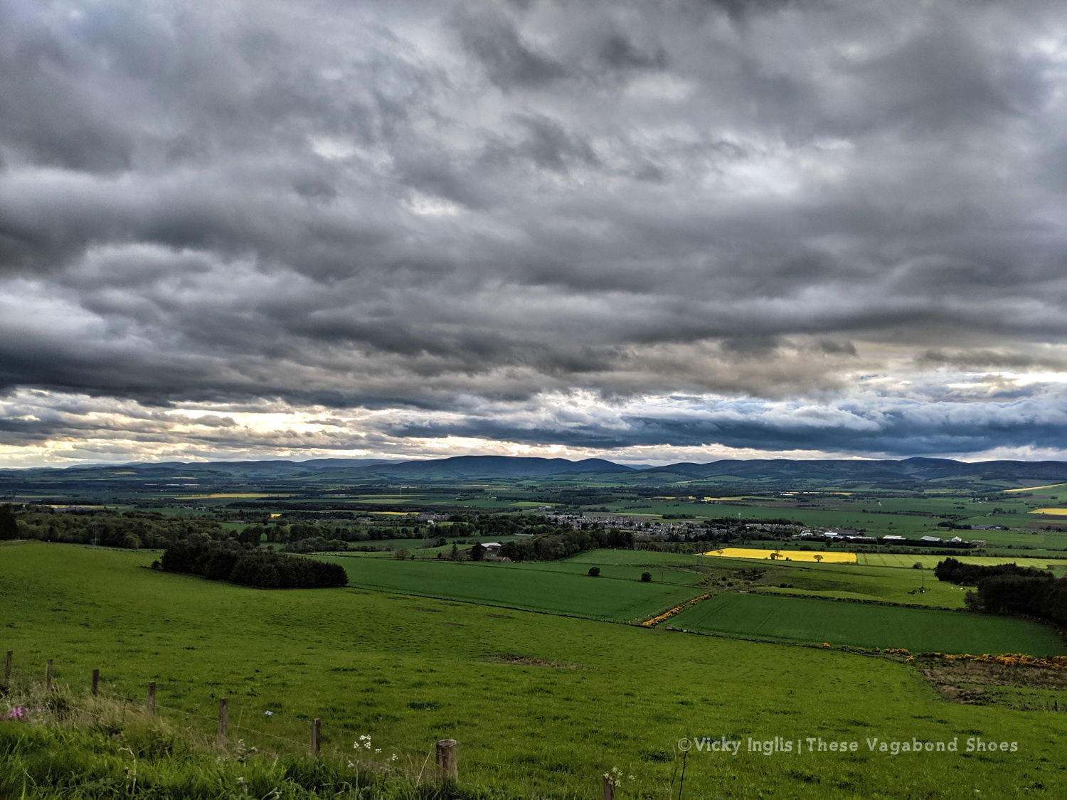
Looking back across the Howe of the Mearn towards the Angus hills from the Garvock viewpoint.
Thursday 23/5
TGO Day 11: Garvock viewpoint to Haughs of Benholm
Distance: 10.5km
The final day! Just a short distance to finish my TGO Challenge, after the huge effort I put in the day before. It’s only around 10km from Garvock hill to my home at the Haughs of Benholm, and after starting fairly late, I was all done and dusted by 10am. It wasn’t the best route choice, as to avoid lots of road walking I decided to cross a few fields
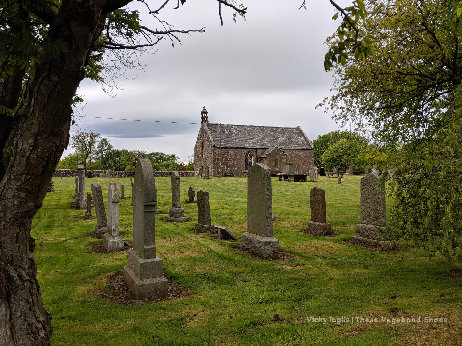
The old kirk at Garvock.
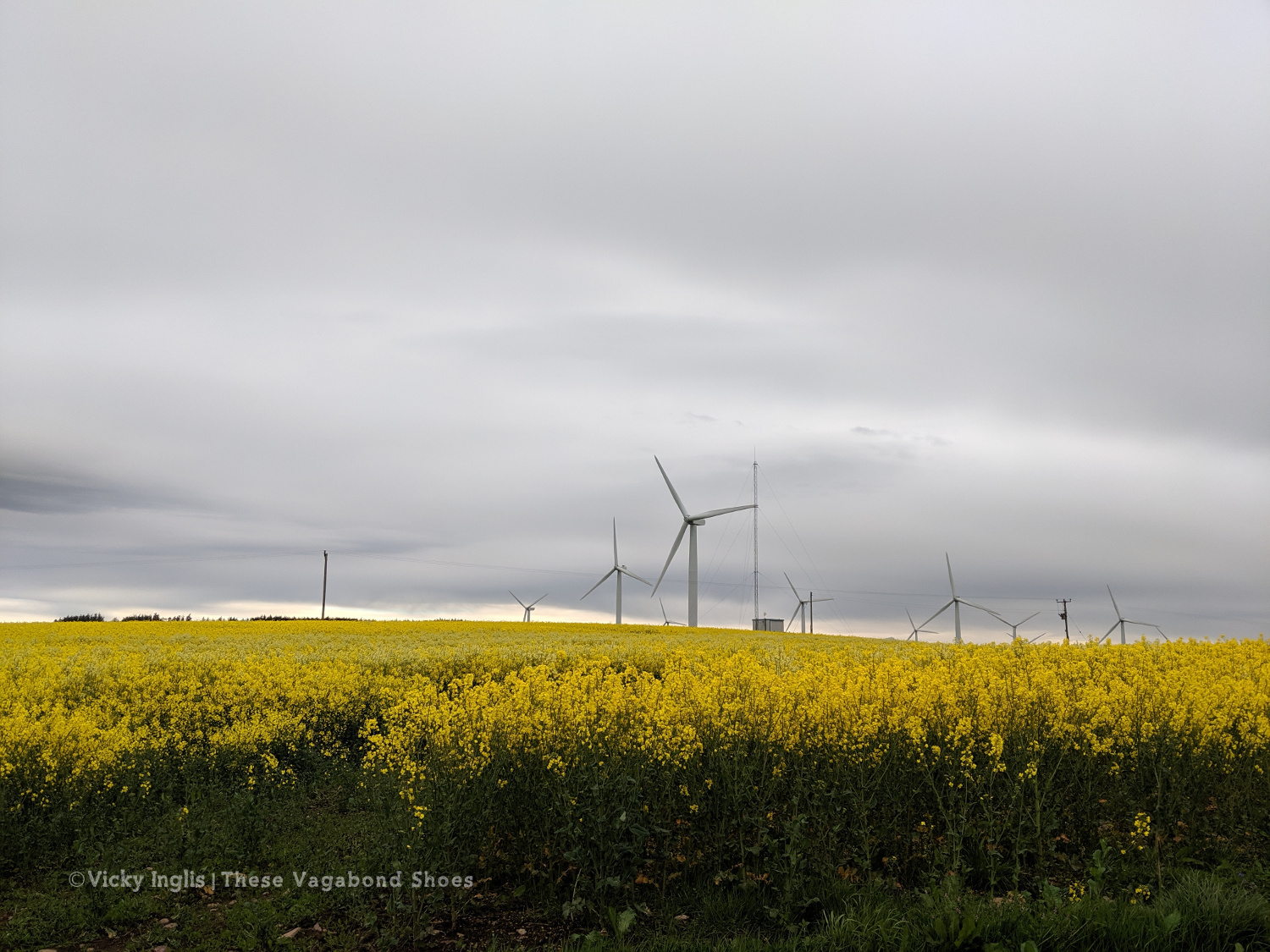
Tullo Hill windfarm and the usual yellow fields of springtime in the Mearns.
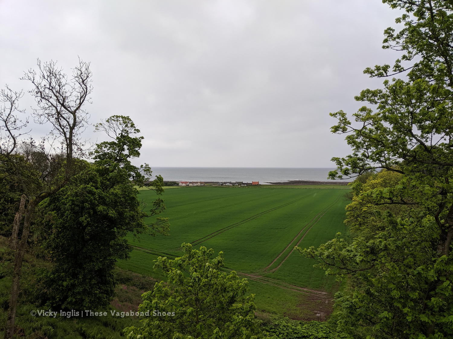
The Haughs of Benholm viewed from the road bridge. Just a kilometre more to go!
My Mam put out a finishing line on the drive, and after dropping my backpack I left an order for a bacon butty and cup of tea, and went to dip my toes in the North Sea to make an official finish. Unfortunately, my arrival had coincided with the low tide, so rather than scramble over the shingle and seaweed covered rocks to reach the water’s edge, I settled for a paddle in a rock pool, and decided the sea could wait until I’d had breakfast.
Crossing the finish line at the end of the Challenge
On the way to the sea, before decinding theat the sea could come to me.
Dipping my toes in a convenient rockpool.
My 2019 TGO Challenge Stats
Total distance walked: 269km (167 miles)
Total distance walked in flipflops: 12km (7.5 miles)
Total distance crawled: 2km (1.25 miles)
Times that I cried: 3
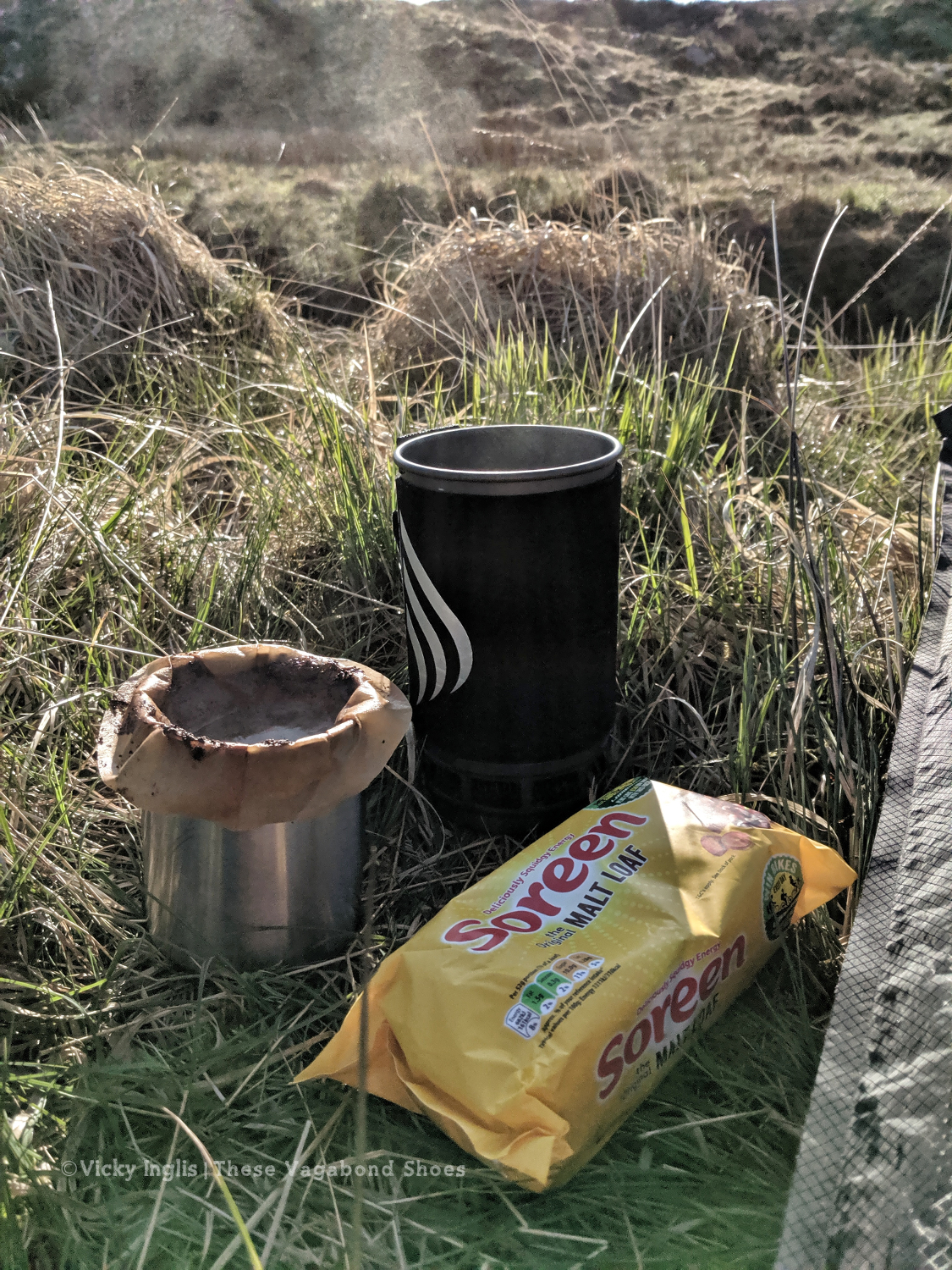
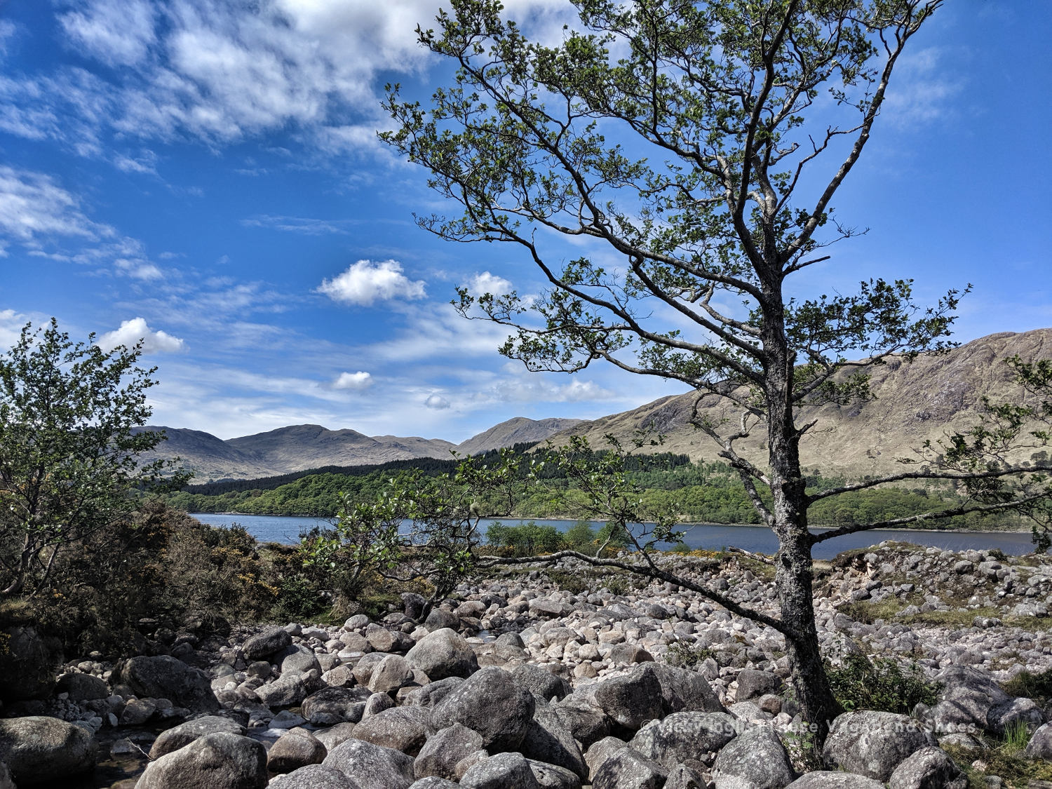
The highest point of my route: Schiehallion summit, 1,083m (3,553′)
The highlight of my route: Finding a beautiful pool for a swim in the sunshine in a small burn on the side of Loch Etive.
Would I do this again? Absolutely!
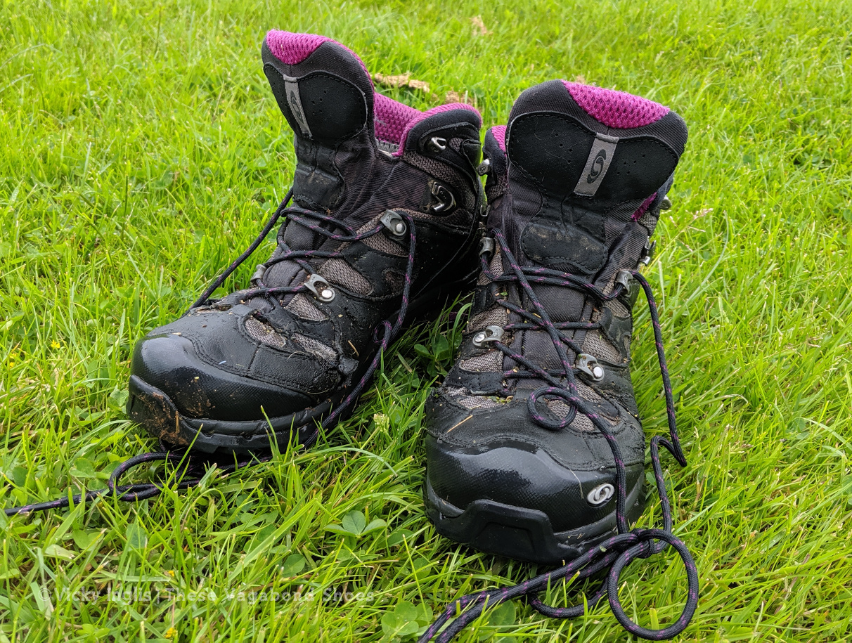
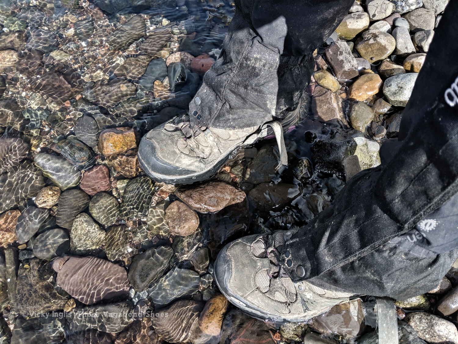
These boots were made for walking, but are ready for retirement.
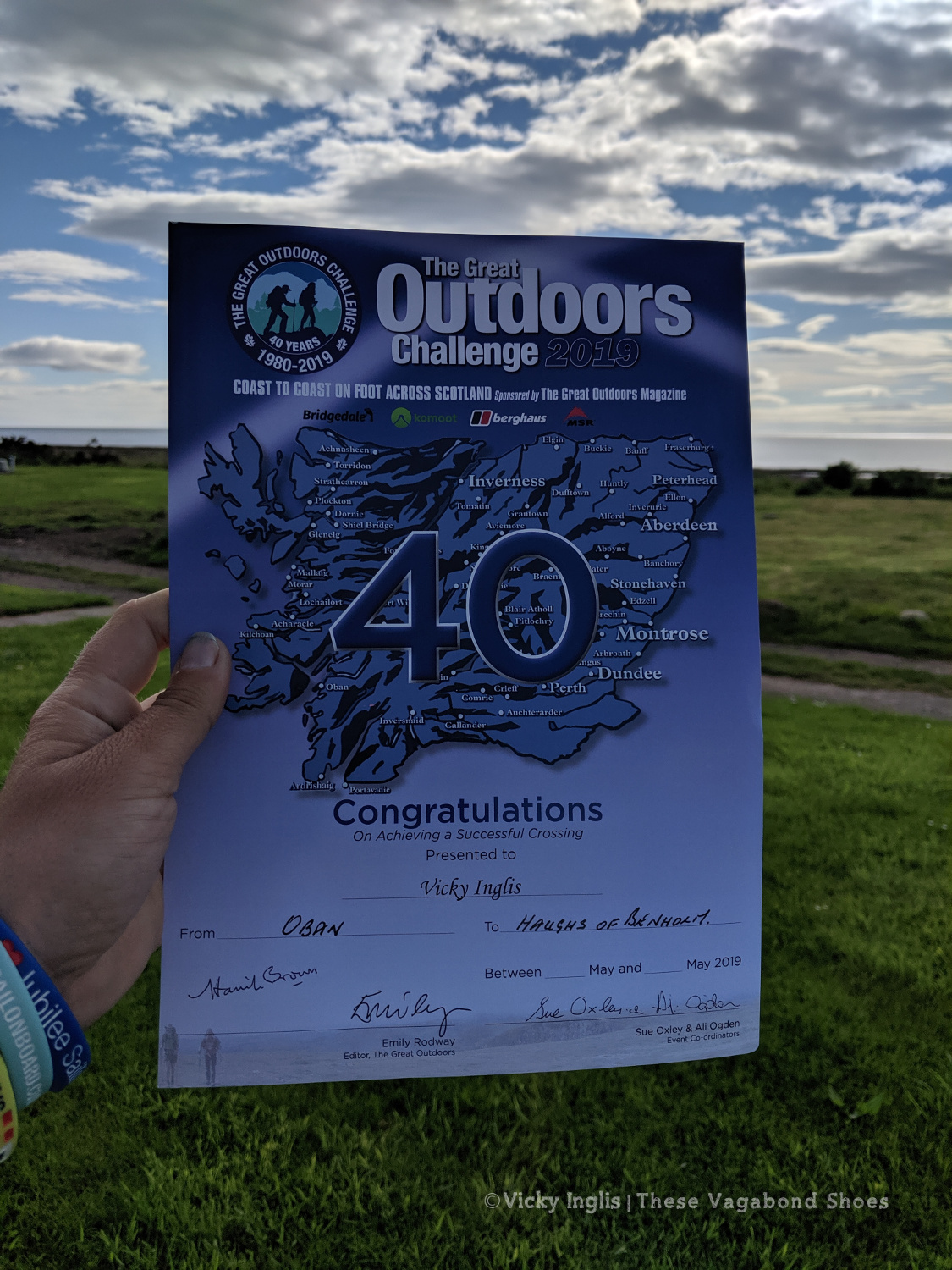
The 40th TGO Challenge, and my first, complete. The first of many more certificates to come?
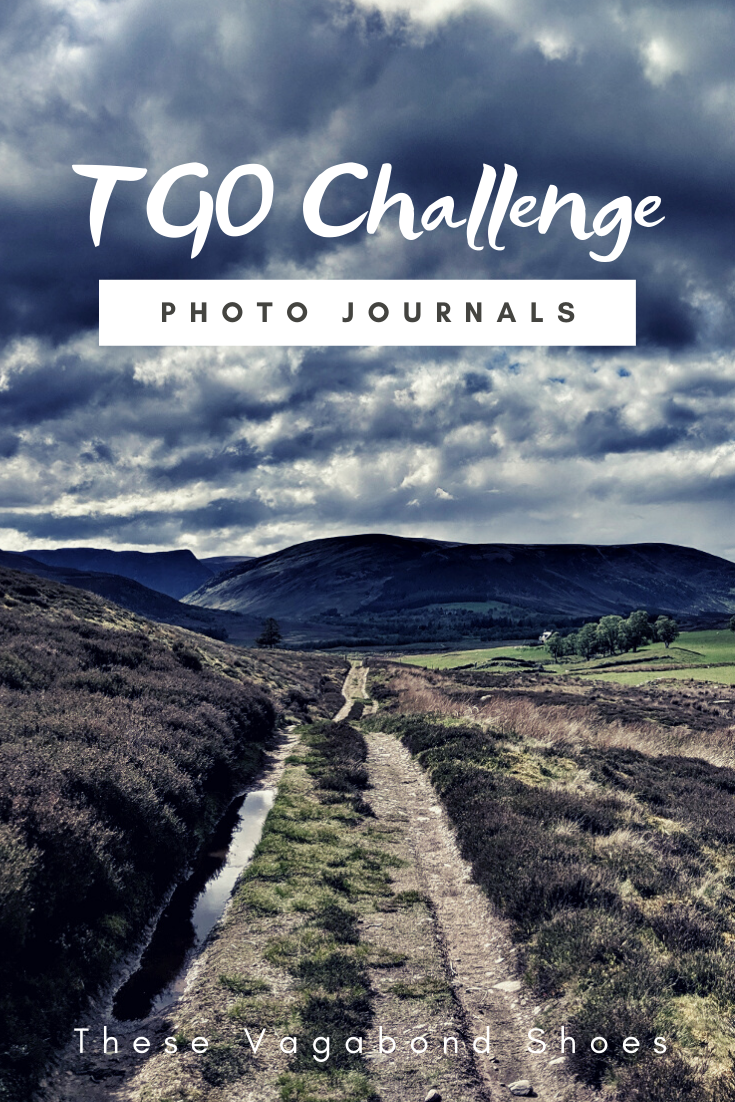
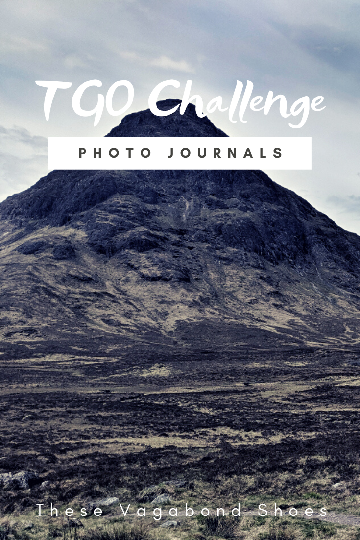
Read the previous instalment of my 2019 TGO journal here, and find out more about the Challenge in this post.
After one too many days of fine weather and lots of walking with limited access to drinking water, little shade, and no sunblock, I was done. I’d scheduled a rest day with friends once I reached Pitlochry, so I switched it around to have a day out of the sun to recover and called for a lift.
The original inspiration for the TGO Challenge; Scotland Coast to Coast by Hamish Brown
Not a lightweight backpacker.
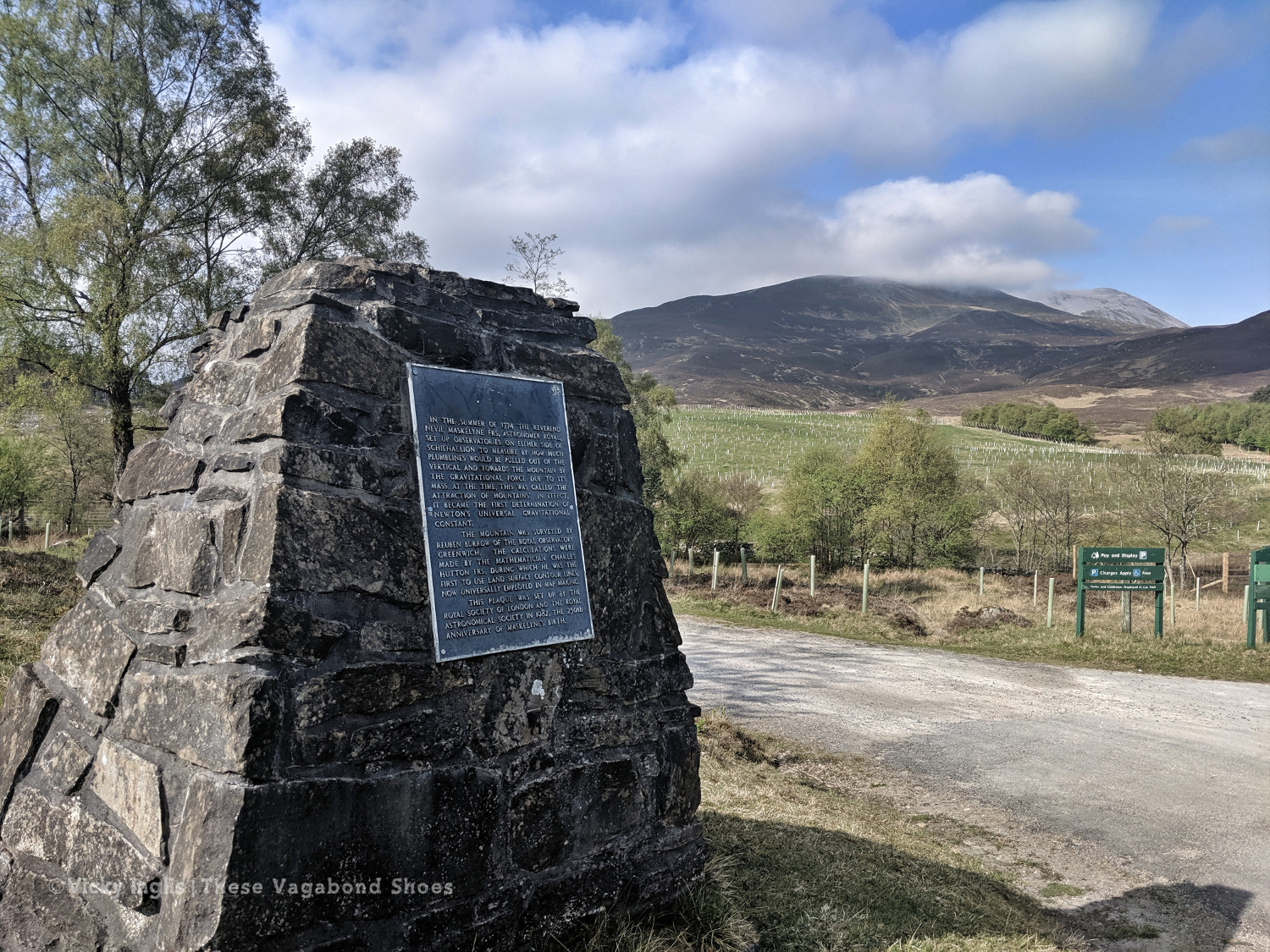
The Maskylene plaque at Braes of Foss commemorating the Schiehallion Experiment
A shower! Clean laundry! Ice cream! No heatstroke! It was wonderful. I treated myself to a pair of shorts and the factor 50 sunblock my pale Celtic skin needed to continue walking in the sunshine the next day, as despite not being the most lightweight of backpacker I hadn’t packed either of those things. I also found a brilliant secondhand bookshop which had something I thought might be useful for the rest of my trek. What would Hamish Brown do?
Friday 17/5
TGO Day 6: Braes of Foss to Pitlochry
Distance: 21km
Ascent: 990m
The weather had continued to be absolutely glorious, dry, warm, and sunny while I took a rest day, and I looked forward to getting back out into the hills to continue my trek. Feeling fit and refreshed I was dropped off at the point I left a couple of days ago, at the end of the access road to the bayrite mine at Foss. This time laden with abundant supplies of factor 50 sunblock.
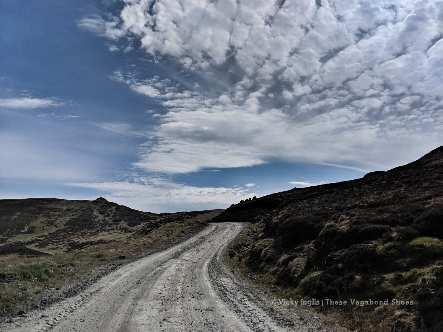
The road leading to the mine.
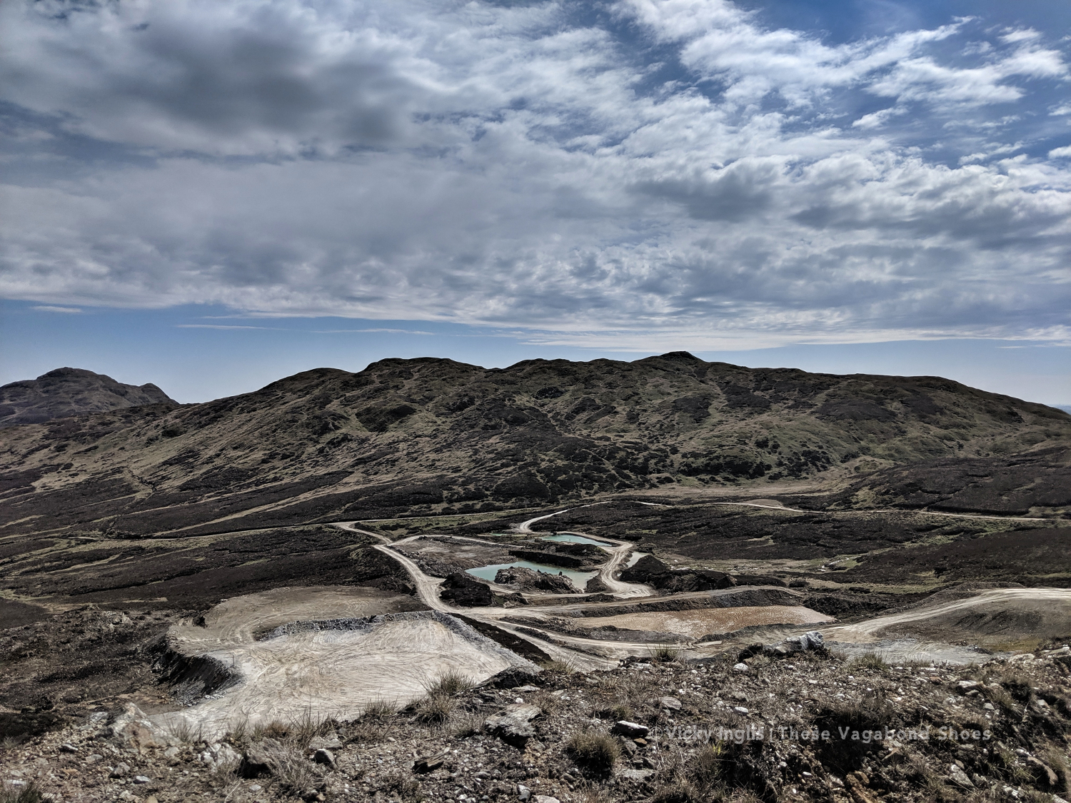
The bayrite mine at Foss.
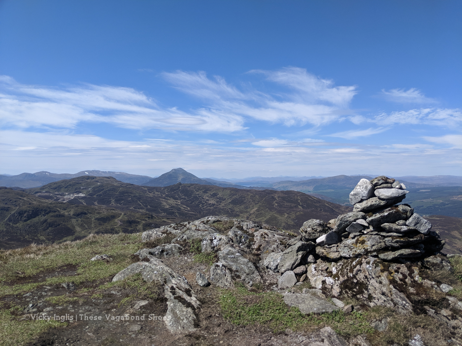
Schiehallion viewed from the top of Farragon Hill.
From Foss I headed up the track past the mine works to the tops of the Corbetts of Meall Tairneachan and Farragon Hill, bashing through the heather when the track ran out. The descent towards Strathtay was a little challenging, not least when I received a marketing call from my mobile phone provider on a steep section. I thanked them for their network coverage but suggested it wasn’t the best time to talk to them.
The way down the eastern side of Farragon Hill.
Old hill tracks on the side of Beinn Eagagach.
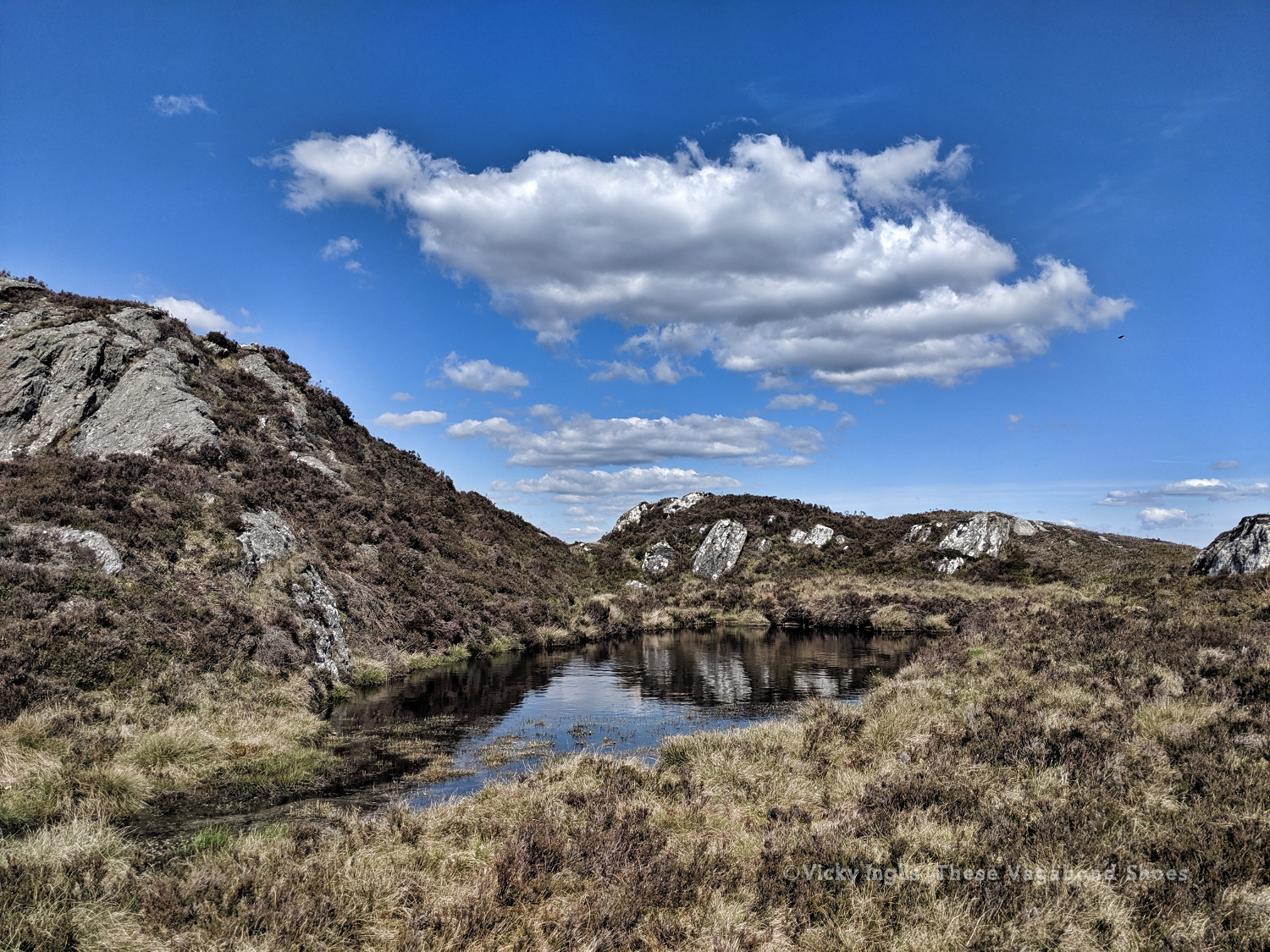
Lochans and bogs, oh my!
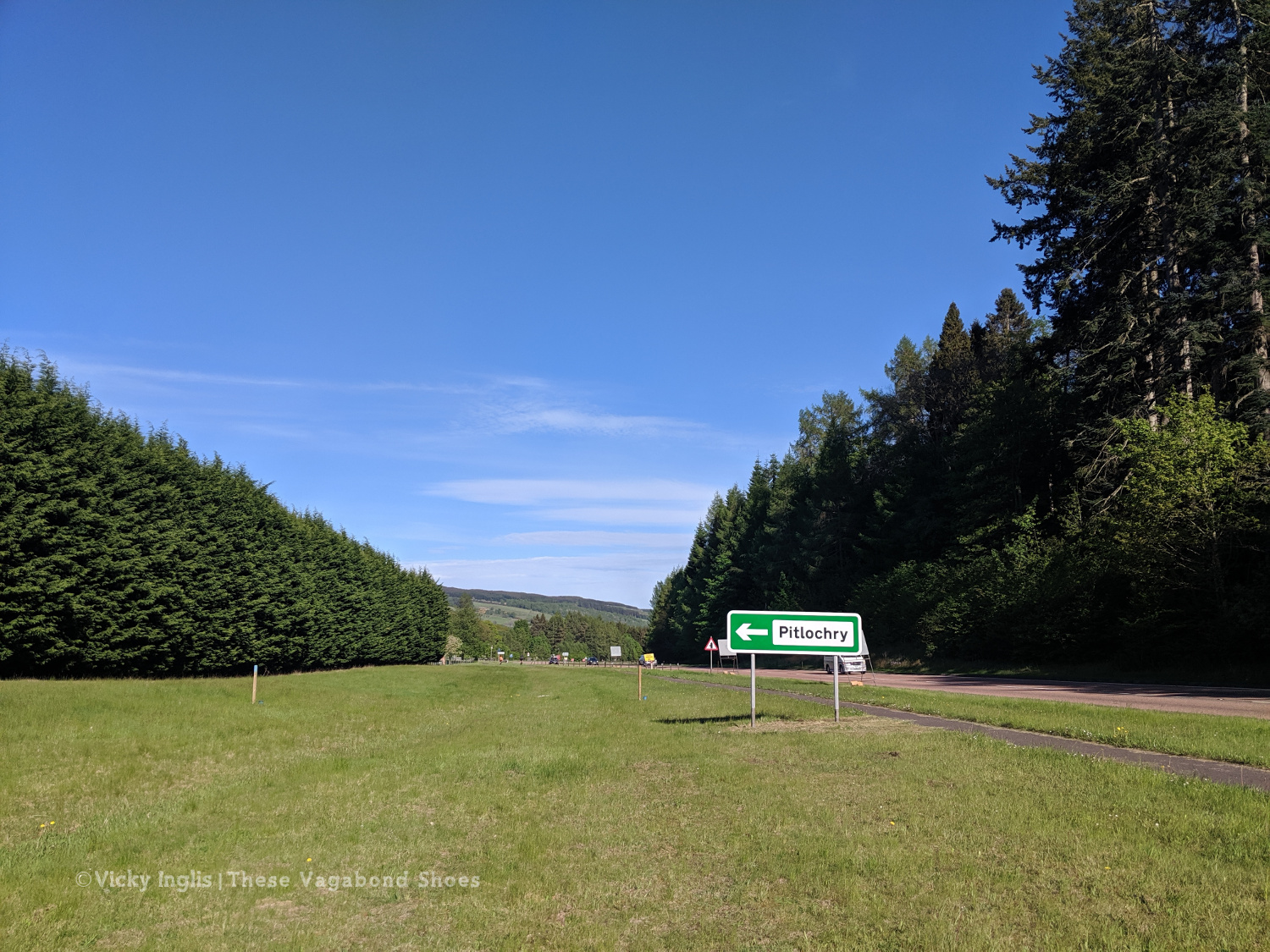
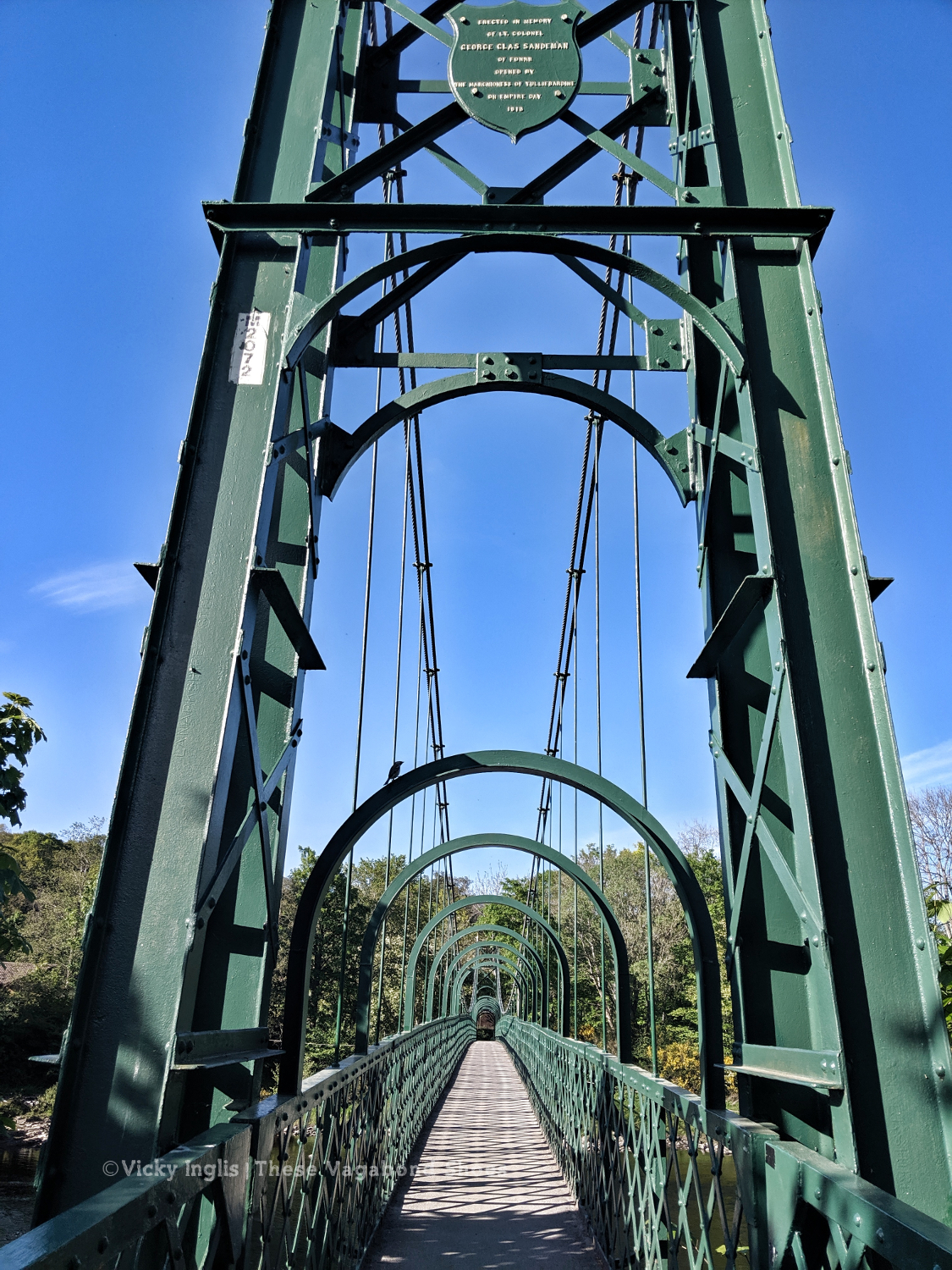
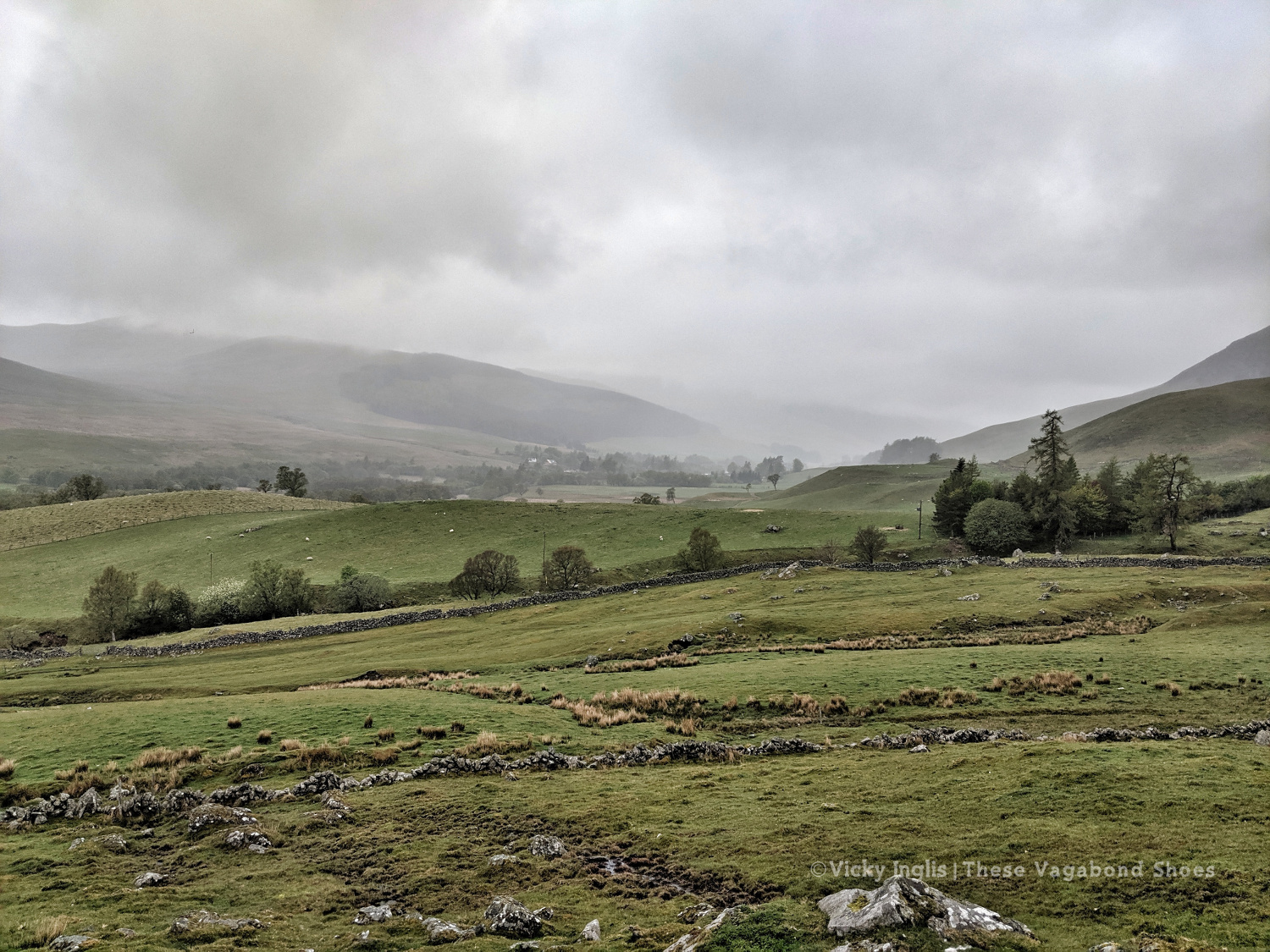
After reaching the hill track, I went around the shoulder of Beinn Eagagach, then followed the ridge of hills between Strathtummel and Strathtay. Just a little bit of bog scrambling, a lot of heather bashing, and being stalked by some deer as I went. From Clunie Woods, glad to get a bit of shade, I descended to meet the end of the Rob Roy Trail, crossed the A9 and reached Pitlochry.
The deer fence between Creag a’ Coire and Clunie Wood
Crossing the A9 with the end in sight
The suspension bridge over the River Tummel.
Saturday 18/5
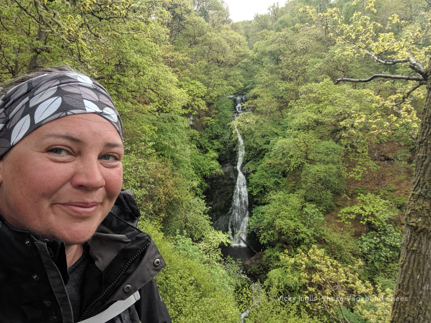
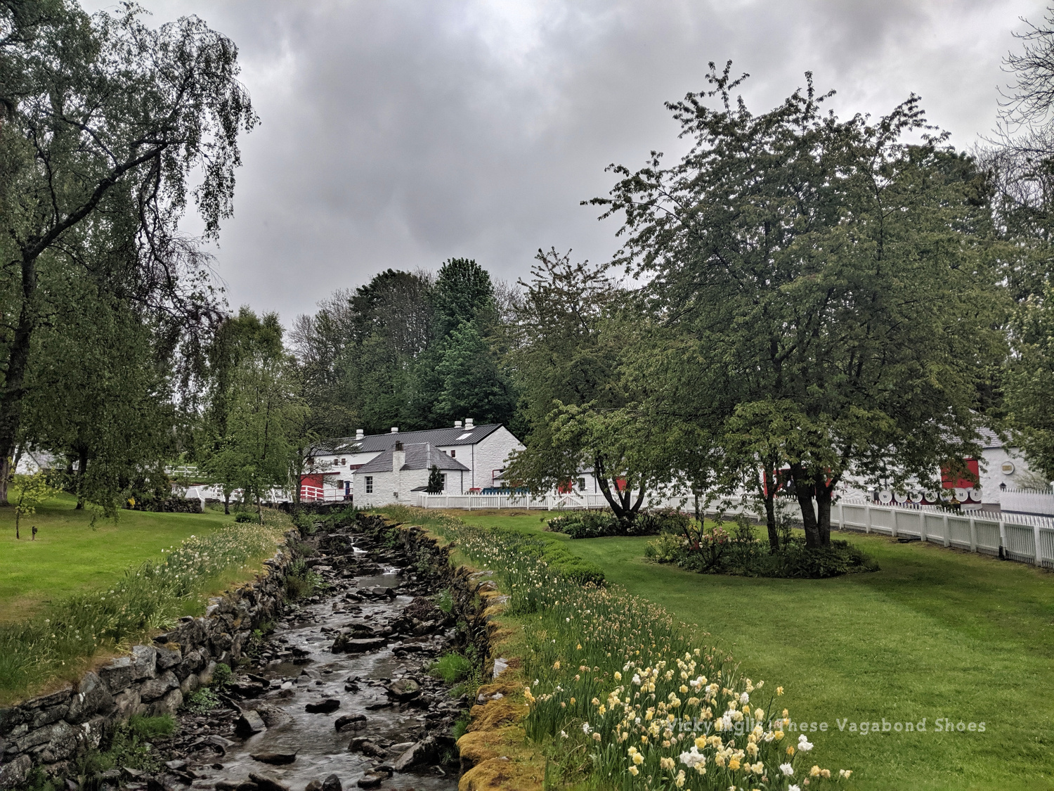
TGO Day 7: Pitlochry to the Lunch Hut (Cateran Trail)
Distance: 22km
At the Black Spout, after the first rain in a week.
Edradour distillery
A last glimpse of Pitlochry.
Well, it would have been unrealistic to expect the fine weather to last for the full fortnight of the challenge. Shortly after reaching my accommodation in Pitlochry, the sky turned the colour of a bruise, and the rain thundered down through the night. So I was particularly glad I was indoors overnight and didn’t have to pack up a soaking tent before I started walking in the morning.
Swirling pollen in the puddles.
The first rain for a week washing away pine pollen.
The forestry road through Pitcastle Woods
I made my way through town to the Black Spout waterfall, through the woods to Edradour Distillery. At this point my route became a little bit freestyle, crossing grazing land on the side of Tom Beithe until I entered the forest and could pick up forestry tracks. then through the forestry land to Enochdhu, climbing a few deer fences on the way. Picked up the Cateran Trail to head to the Lunch Hut bothy, where I met the first other challengers I’d seen since I’d seen the Danes taking a coffee break at Rannoch Station.
The forestry road through Kindrogan Woods
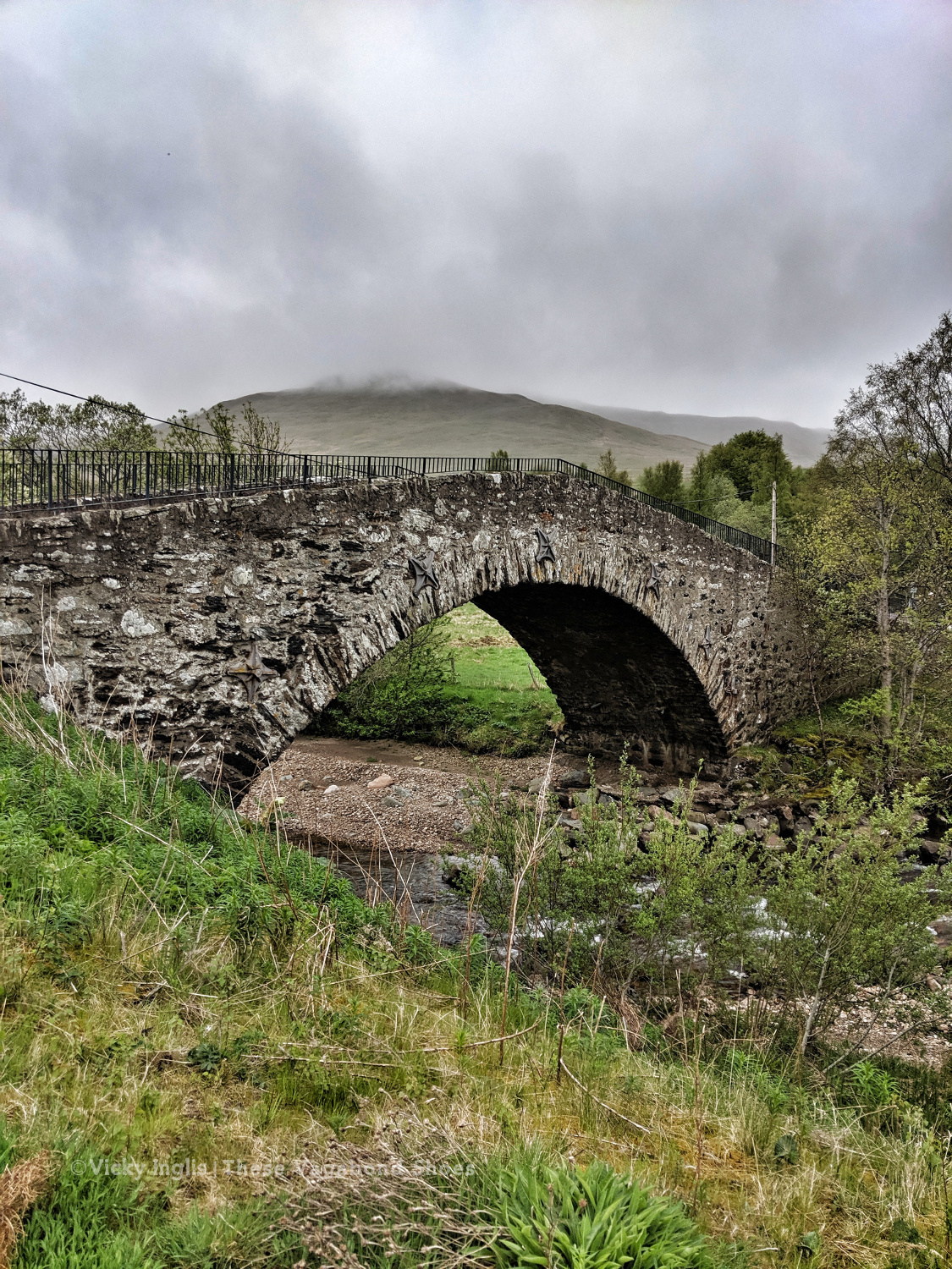
Crossing the bridge in Enochdhu
Treating myself to a fancy dinner to make up for the damp weather.
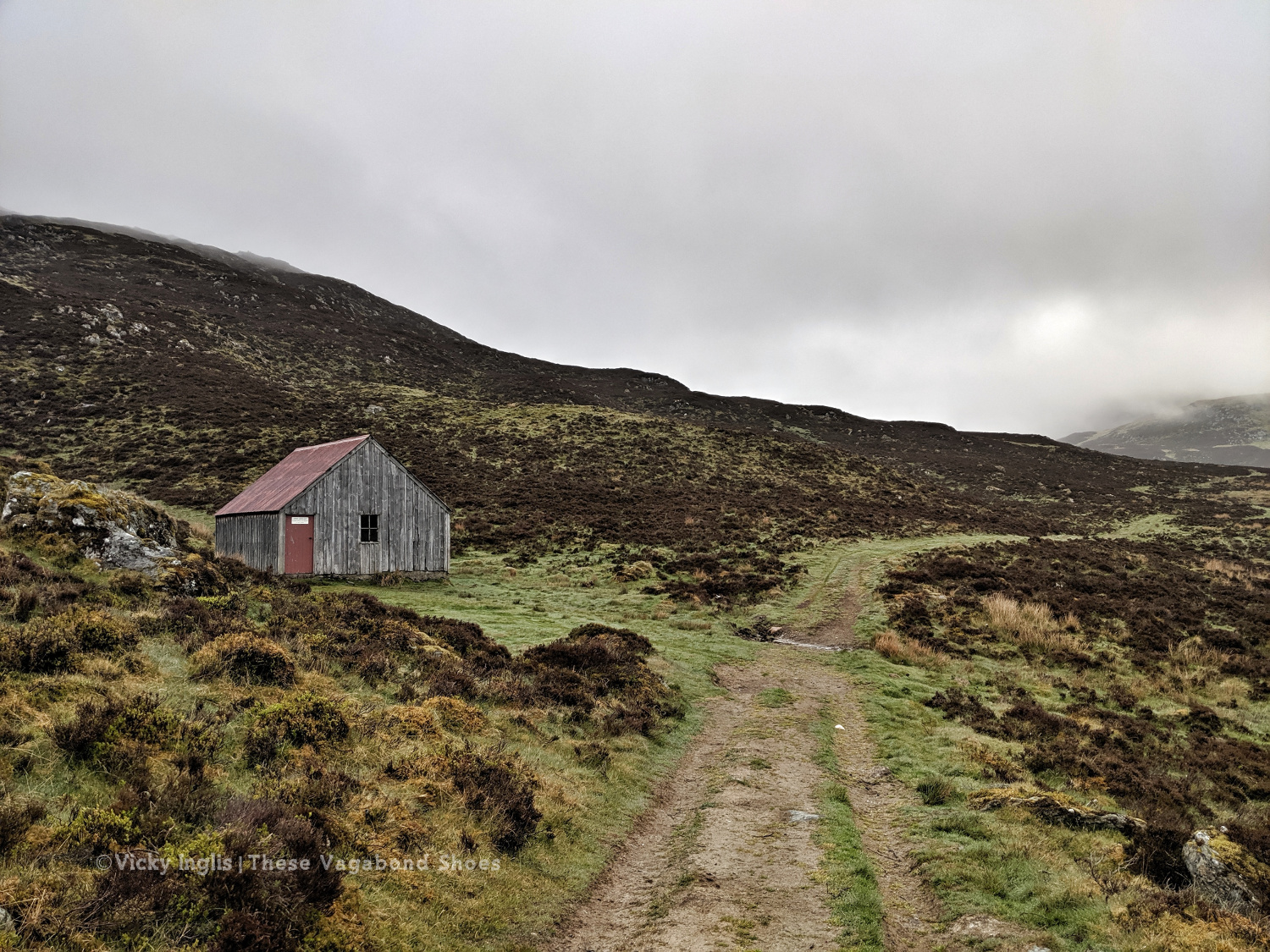
The Lunch Hut bothy, home for the night.
Sunday 19/5
TGO Day 8: The Lunch Hut (Cateran Trail) to Glen Doll
Distance: 31km
Ascent: 1734m
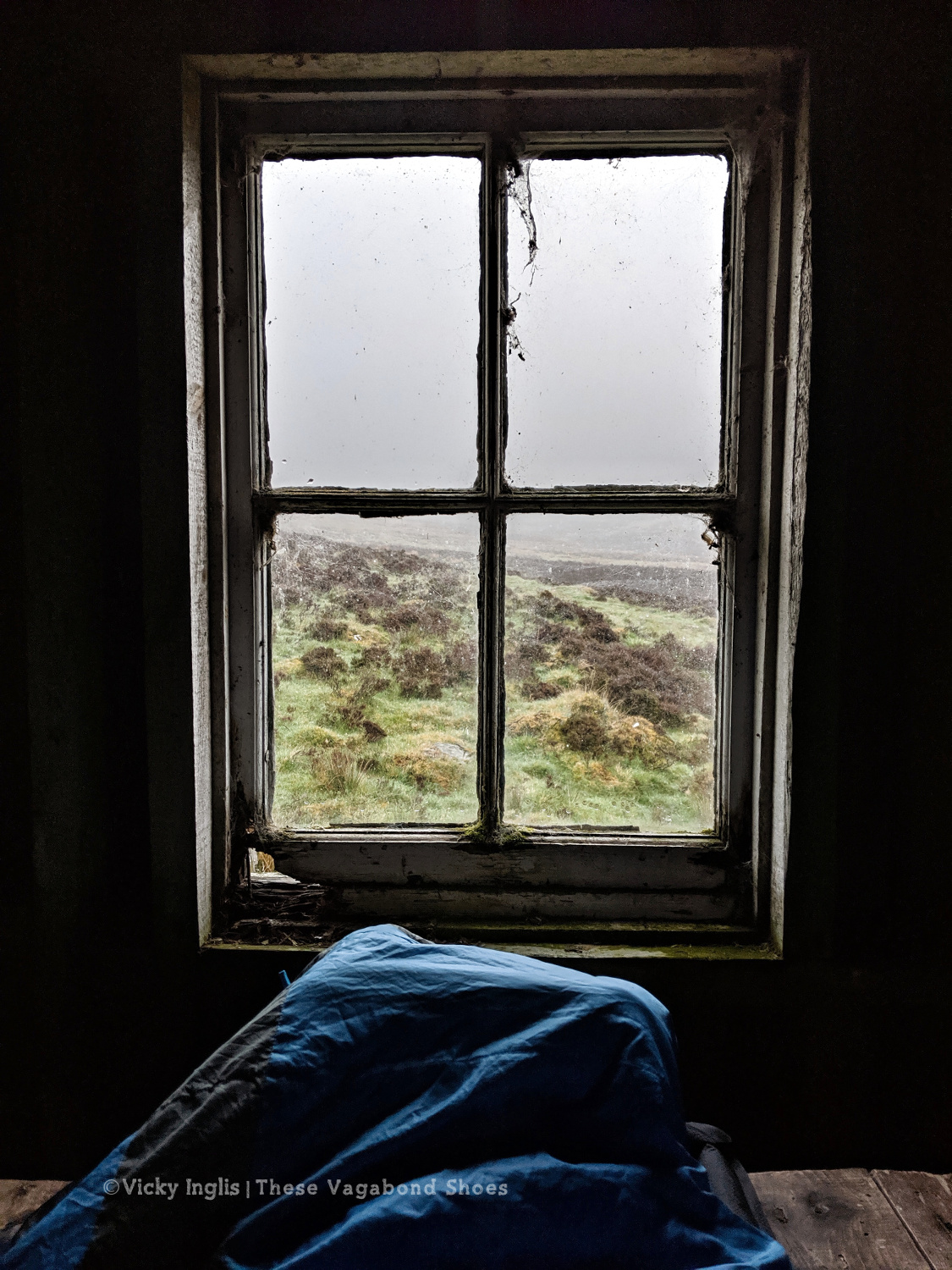
Two things contributed to my early wake-up, the slow deflation of my air mat through the night finally reaching the point where my hip touched the tabletop I was lying on, and a sheep bleating incredibly loud and close to the bothy. I gave it a hard Paddington stare through the broken window, then had the thought this is how a horror film would start. I whispered an apology to the sheep, so as not to wake my two bothy mates.
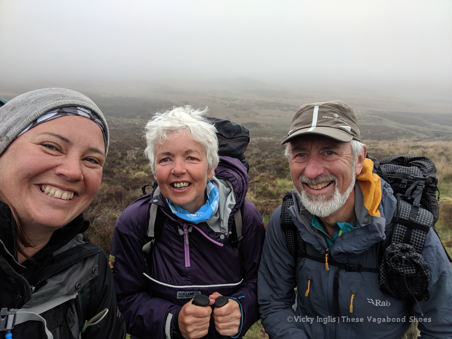
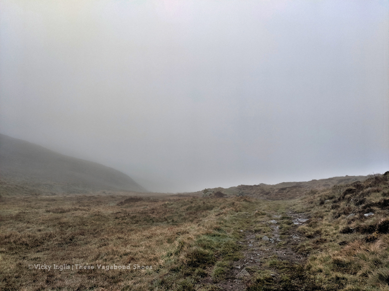
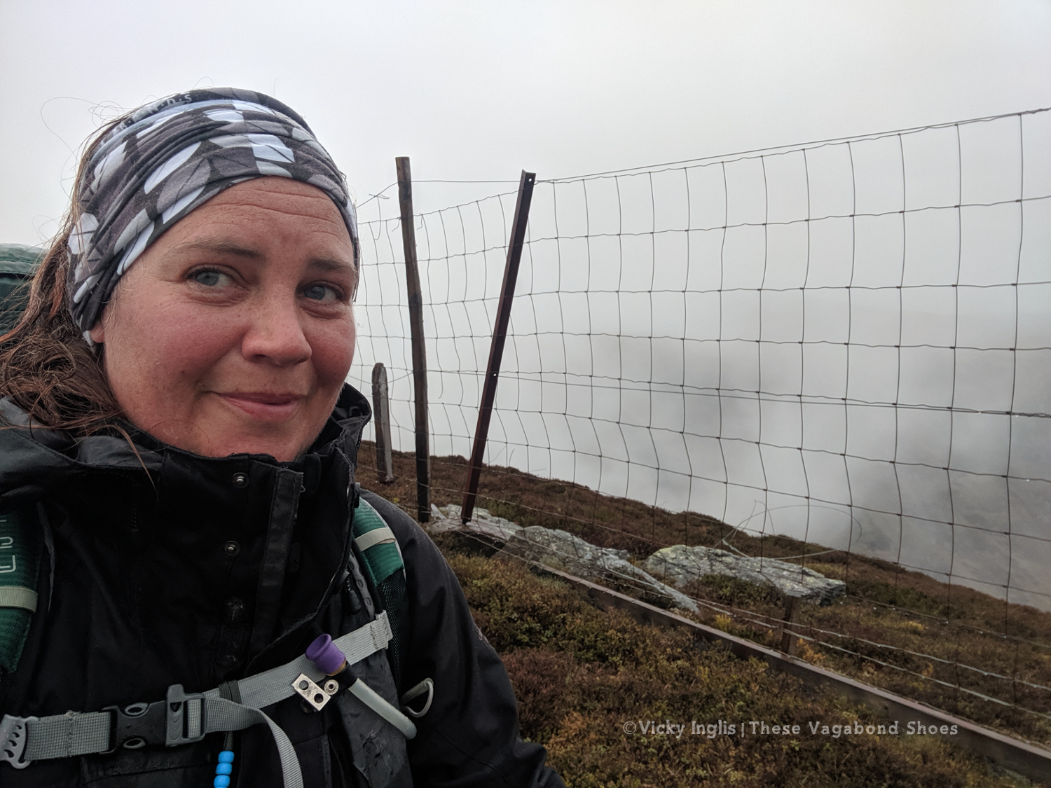
Overnight the fog had come in thick, obscuring everything further than 50 metres from the bothy. This wasn’t good, as I’d planned to head up high from Glen Shee, following hill tracks to start with, then bashing through the heather to Mayar, before descending into Glen Doll. As I headed over An Lairig, towards Spital of Glenshee, with Emma and Simon, I started to revise my route with their suggestions.
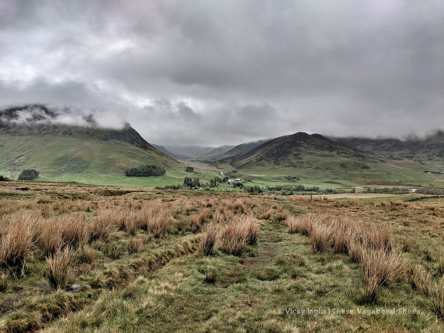
I decided on a longer route, staying at a lower level to make solo navigation easier for much of the day. We walked together on the Cateran Trail until Runvey, then Simon and I left Emma to continue on to Kirkton of Glenisla, while we headed for Loch Beanie. There, we parted ways and I continued to ascend to the shoulder of Monamenach and down into Glen Isla.
Rowing boat on Loch Beanie.
Looking towards the head of Glen Isla
I quickly ascended out of the glen to Mid Hill and Tarmach Cairn on hill tracks, following them in an arc to Broom Hill, before leaving them behind to descend into Glen Prosen by the Glack of Balquhader. I’d been keeping a weather eye during the trek, and it hadn’t cleared on the high ground, where the last stage of the route was going to take me.
The footpath between Glen Prosen and Glendoll known as the Kilbo Path crosses the col between the Munros of Driesh and Mayar, and was the highest point of my revised route. The mist was moving in and out while I stopped for a meal, but from my memory and according to the map, the track looked distinct, so I felt confident enough to get across into Glendoll before the light faded.
Crossing between Glen Isla and Glen Prosen.
When you’re down here and need to be up there.
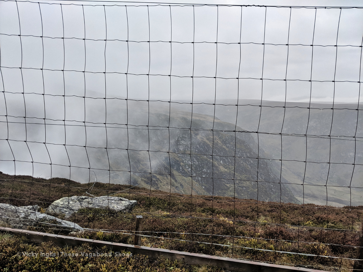
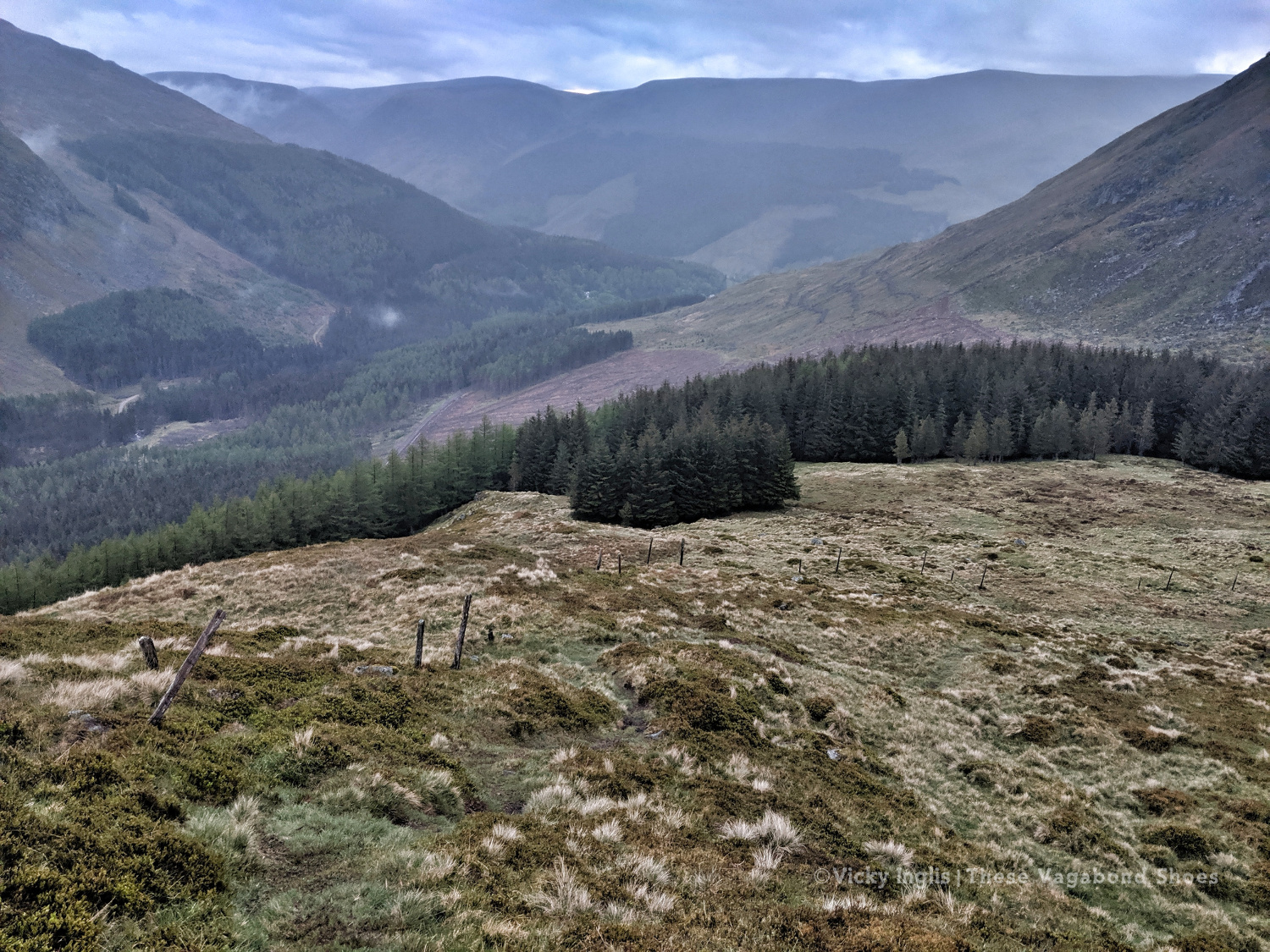
At the top of the path, the visibility closed in to be just a few metres in the cloud, but enough that I could pick out the deer fence along the back of Corrie Shalloch to handrail to the top of the descent on the Shank of Drumfollow, and make my way down into the valley. The path through the logged forestry was rough, but it meant I was counting down the last couple of kilometres to my camp. Finally, after 31km with over 1700m of ascent, getting on for 9pm, I was at the place I wanted to be.
At the top of the Kilbo Path between Glen Prosen and Glendoll.
The cloud clearing to reveal the back wall of Corrie Sharroch. Glad of the deer fence.
Descending the Shank of Drumfollow.
First glimpses of the Glendoll visitor centre, and the end of the day’s walking.
Monday 20/5
TGO Day 9: Glen Doll to the Clova Hotel
Distance: 5.5 km
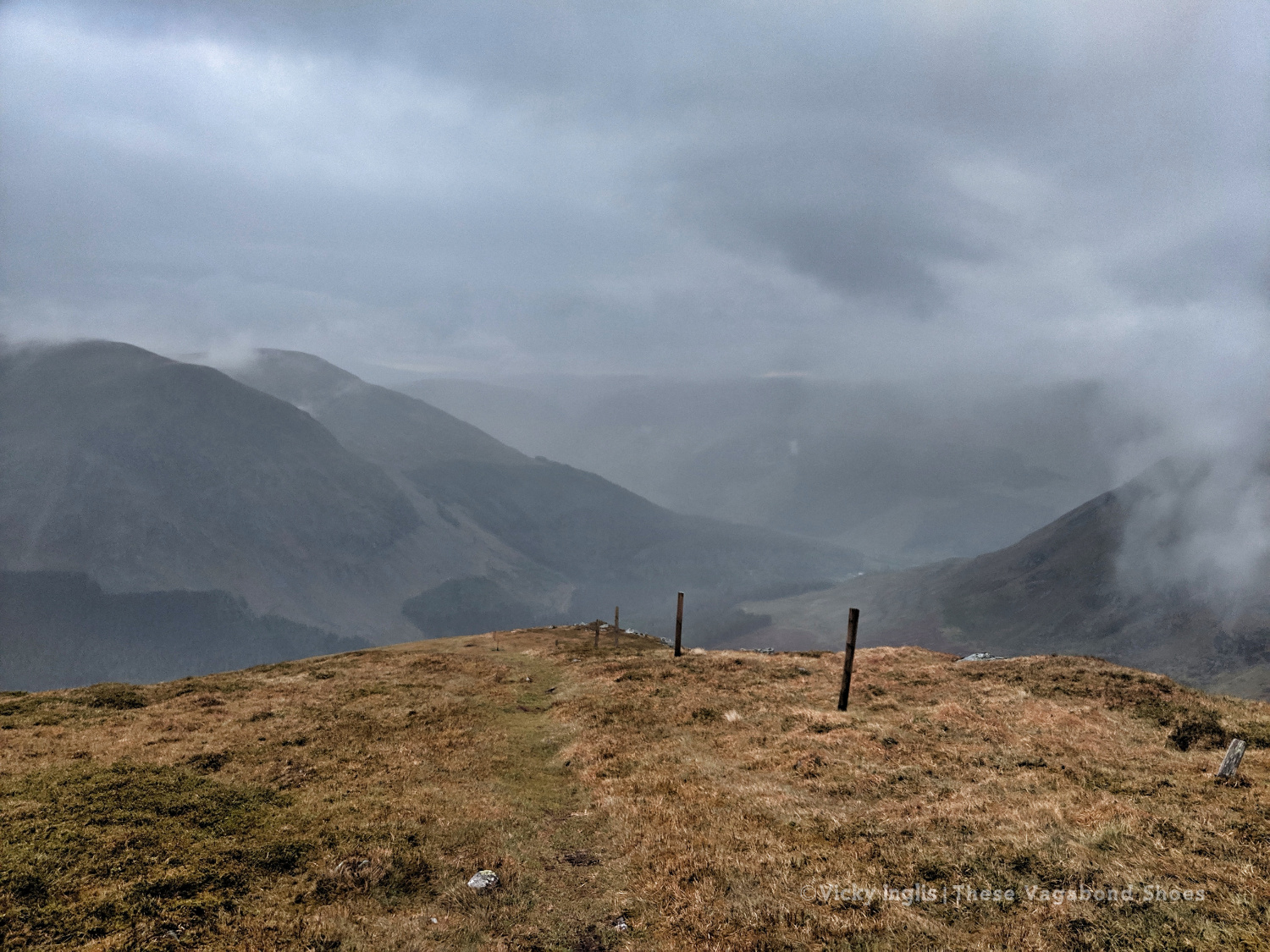
I rolled reluctantly out of bed and started packing the tent away slowly. My intended route for the day was another high one, climbing up from Glen Doll to White Bents and Boustie Ley, then picking up the track above Loch Brandy to head over to Tarfside. But no amount of coffee was giving me the motivation to attempt it, especially as the glowering low cloud was still obscuring the tops.
Finally ready to go, after chatting to a conservation team preparing pack horses for heading up to work on Davy’s Bourach, I set off along the road towards the Clova Hotel. I’ve walked this road a few times, and head down, powering along is the only way. I was reliving memories of my Silver Duke of Edinburgh expedition, and the oppressive clouds started to lift. It might be ok after all.
It wasn’t. About 200 metres shy of the Clova Hotel, the clouds burst and I was nearly soaked through before I could get my waterproofs on. I stepped up my pace, and through the mirk, saw a wonderful sight. John was standing in the road with a golf umbrella, having reached the end of his road trip, decided to come and check up on how I was doing.
Whisked off for a huge pancake breakfast and more coffee at Peggy Scott’s in Finavon, I checked the weather forecast. While the coast was going to be dry and sunny, the heavy rain was slowly creeping across the glens for the rest of the day, a big blue dot sitting directly over the Mounth. As I still had a day in hand to finish the challenge, I called it and decided to bail out the rest of the day and continue the following morning.
Read the next instalment of my TGO journal here, and catch up on the previous entry here.
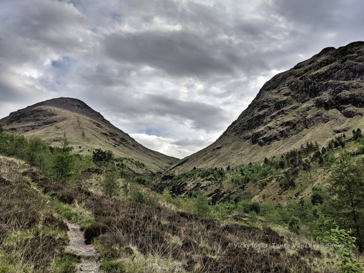
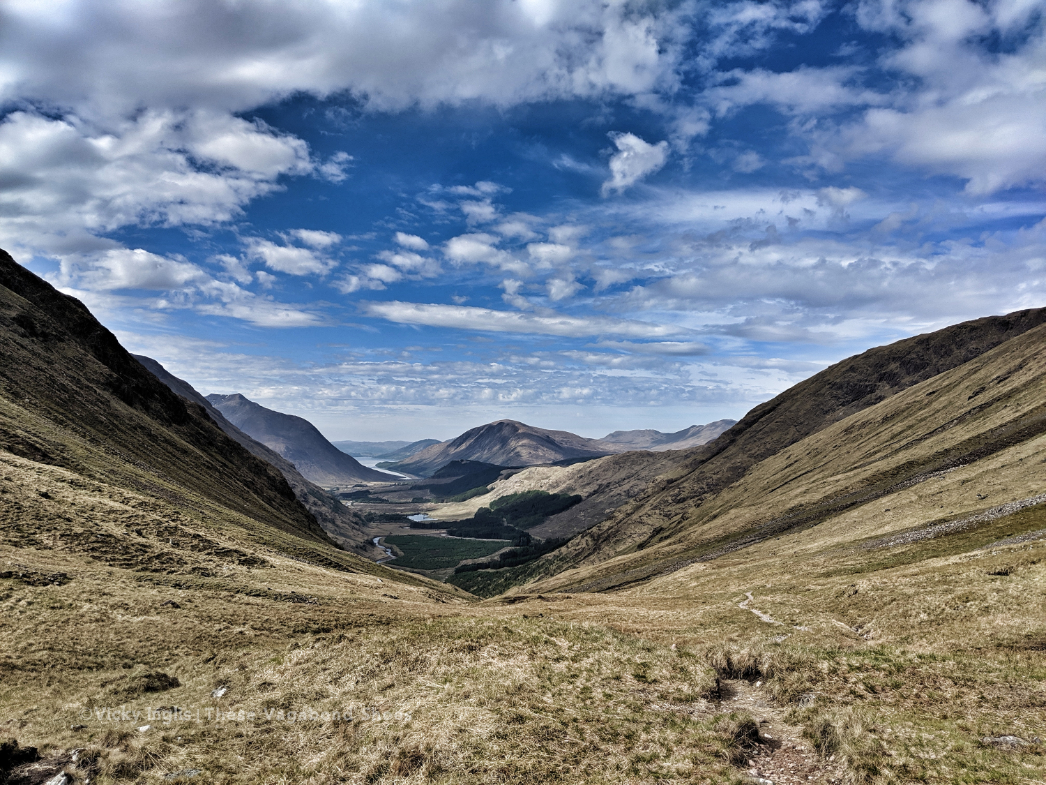
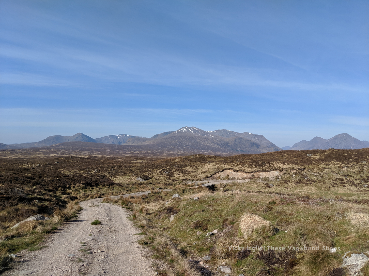
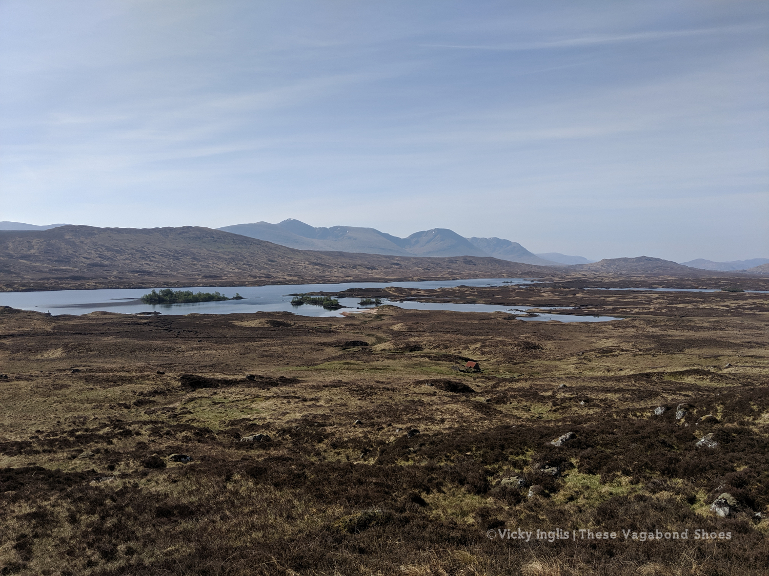
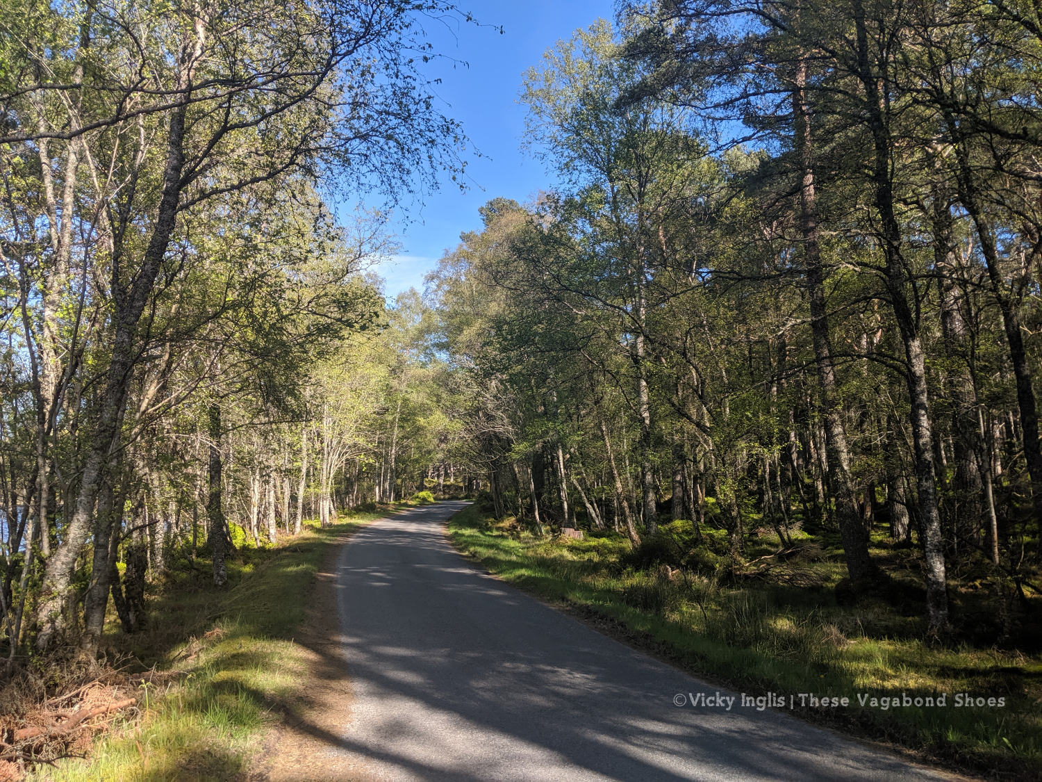
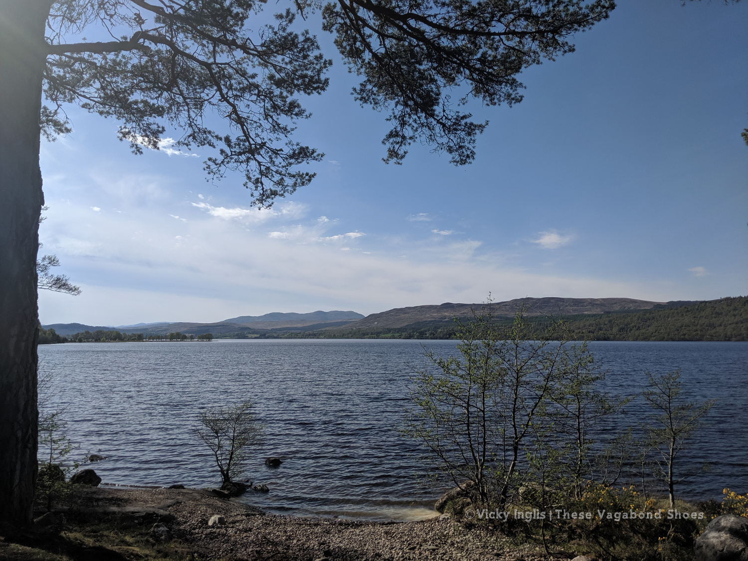
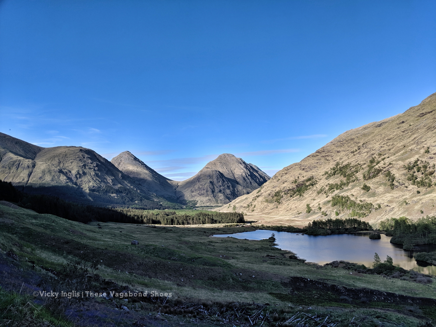
The first part of my route for the day had been visible for most of yesterday afternoon’s walk; Laraig Gortain, between Buchaille Etive Mór and Buchaille Etive Beag, leading to the well-trodden ground of Glen Coe and the West Highland Way. It’s the first real ascent of my route, though the biggest is still a few days away when I reach Schiehallion.
I stopped at the top of the pass for a cuppa and a long last look at Loch Etive, still technically the sea on the west coast.
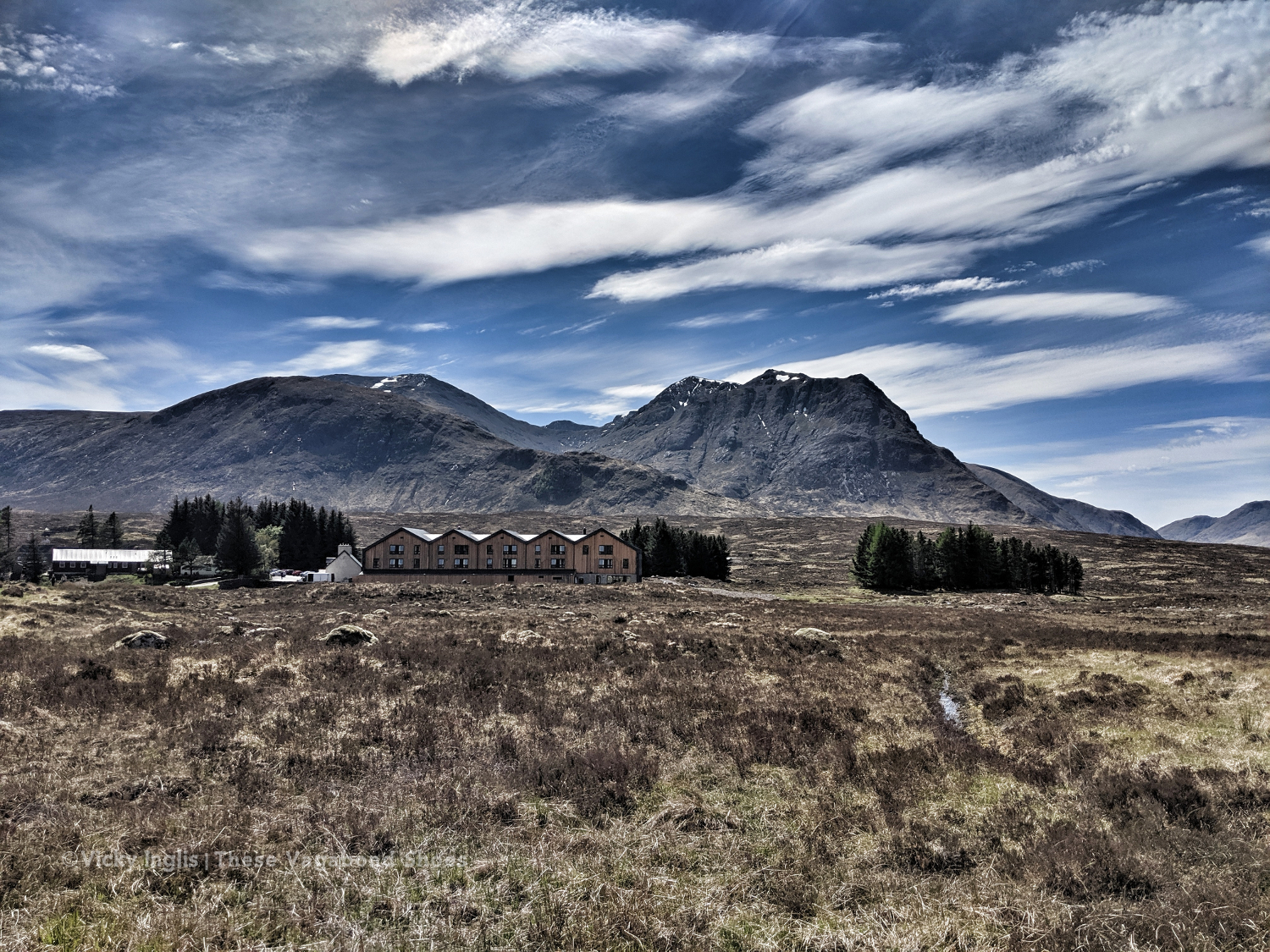
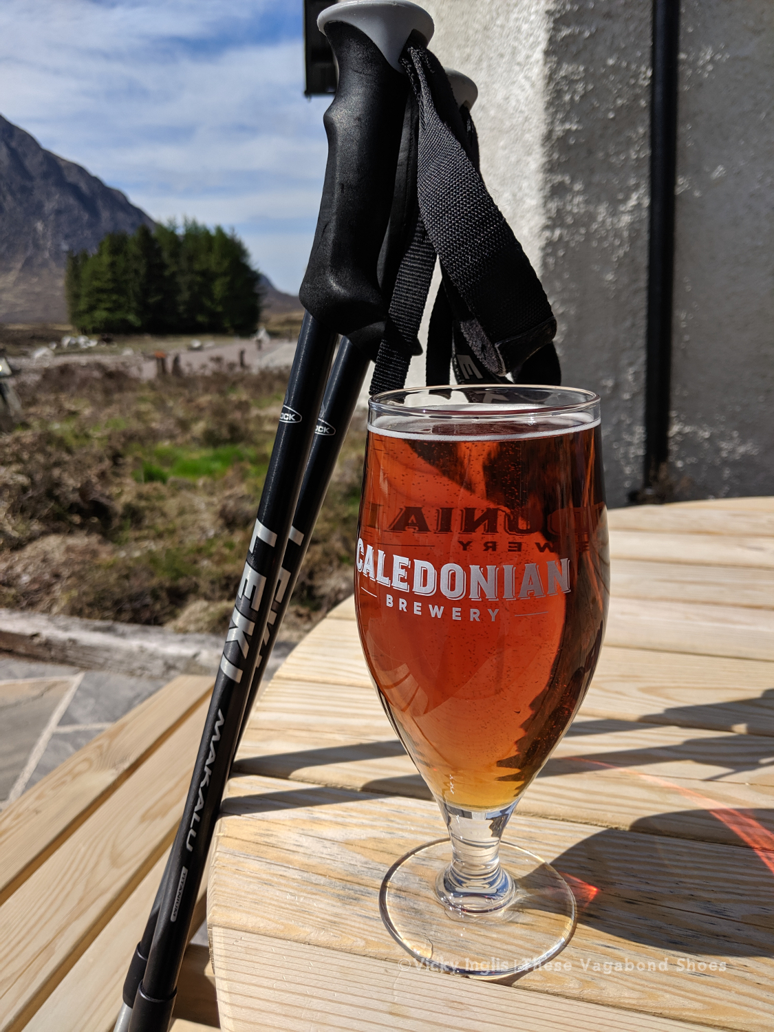
After two days on my own, just crossing paths with the group of Danish challengers a couple of times and occasional day hikers in Glen Etive, the WHW was almost shockingly busy with walkers. Heading the “wrong” way, it feels like pushing my way down the local high street on a busy shopping weekend. I took advantage of local facilities with a long lunch* in the sun at the revamped Kingshouse hotel to recover. It’s all very fancy, but then that’s the kind of girl I am.
*haggis nachos and a pint of coast to coast, 5/5 would recommend
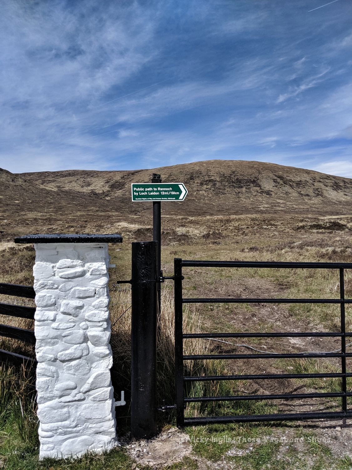
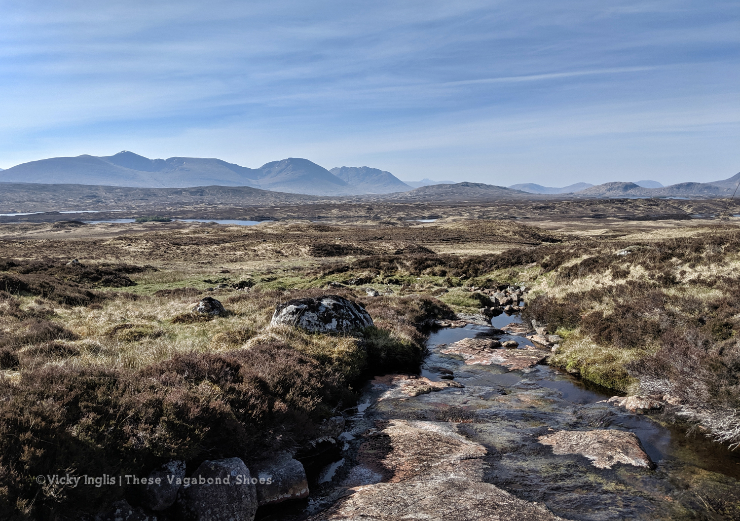
Leaving again was tough, with my pace slowing through the long hot day as I trudged across Rannoch Moor. The Danes caught up and passed me by just before I reached Black Corries Lodge, planning to head up into the hills. I kept on plodding on the track until 6pm and I’d used my last ounce of willpower and my motivational soundtrack to keep moving my feet.
I find a decent looking spot to camp close to a stream, but I’m still around 6km short of my intended endpoint. It’s going to make the next day really tough, but I’m completely drained. After pitching my tent I have a little swim and attempt to wash the peat from yesterday’s bog out of my trousers, before lying in the sun and reading my book. Have I hit the wall on just day three?
Tuesday 14/5
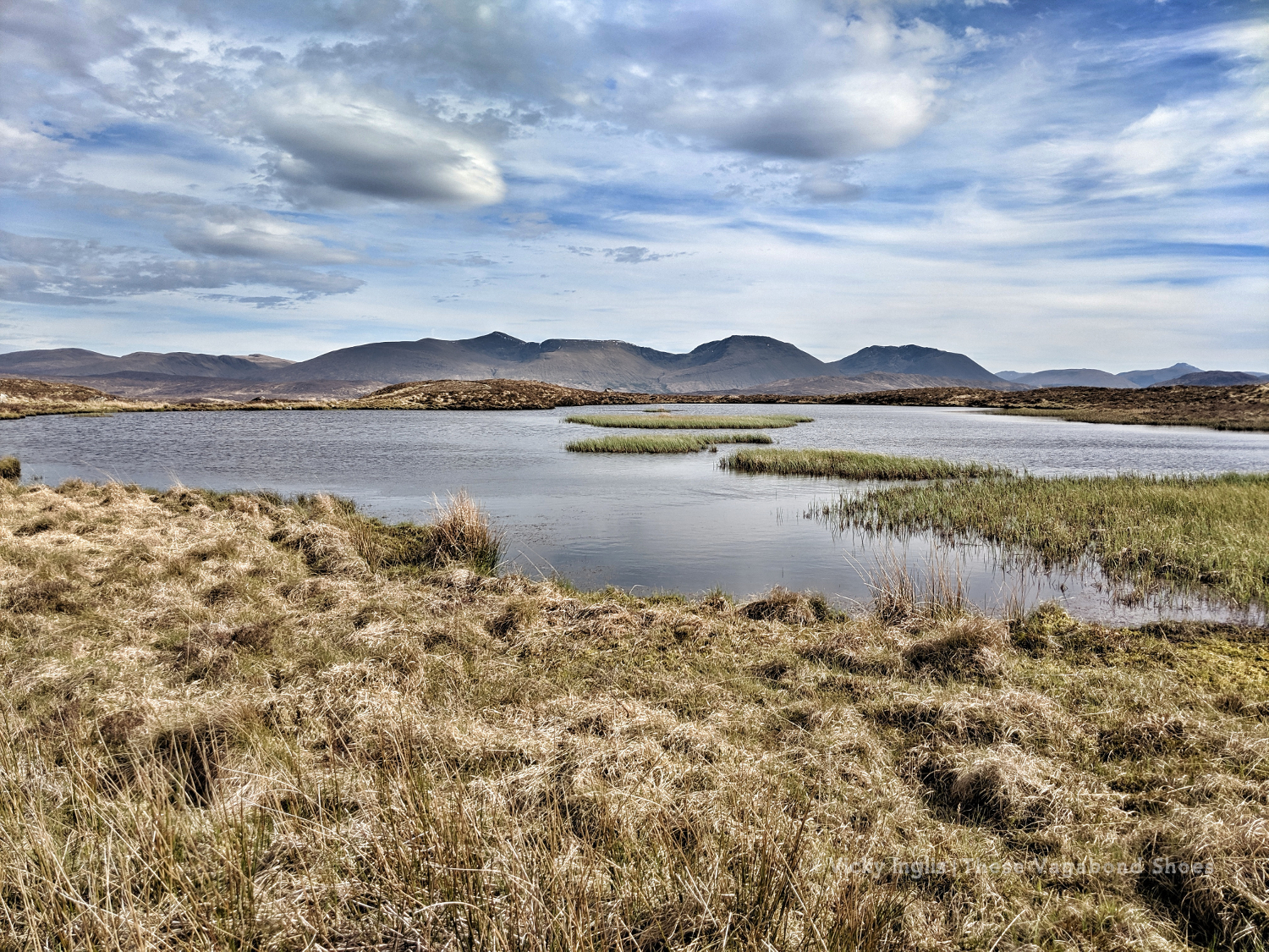
TGO Day 4: Rannoch Moor to Dall
Distance: 31km
The sun is shining again as I emerge from my tent, and I feel so much brighter than I did yesterday evening. A good night’s sleep, though instead of being woken early by cuckoos, I heard the sound of deer snuffling around and a grouse croak just after daybreak. It’s the fourth day of my challenge, and I’m starting to think of my daily routine. Wake up, eat, walk, rest, eat, walk, find somewhere to sleep, eat, rest.
Walking is my life now. I don’t have to worry about the usual issues of daily life, or working with the rest of the ship’s crew, and can be totally selfish. My only task is to get from A to B, to keep moving forward.
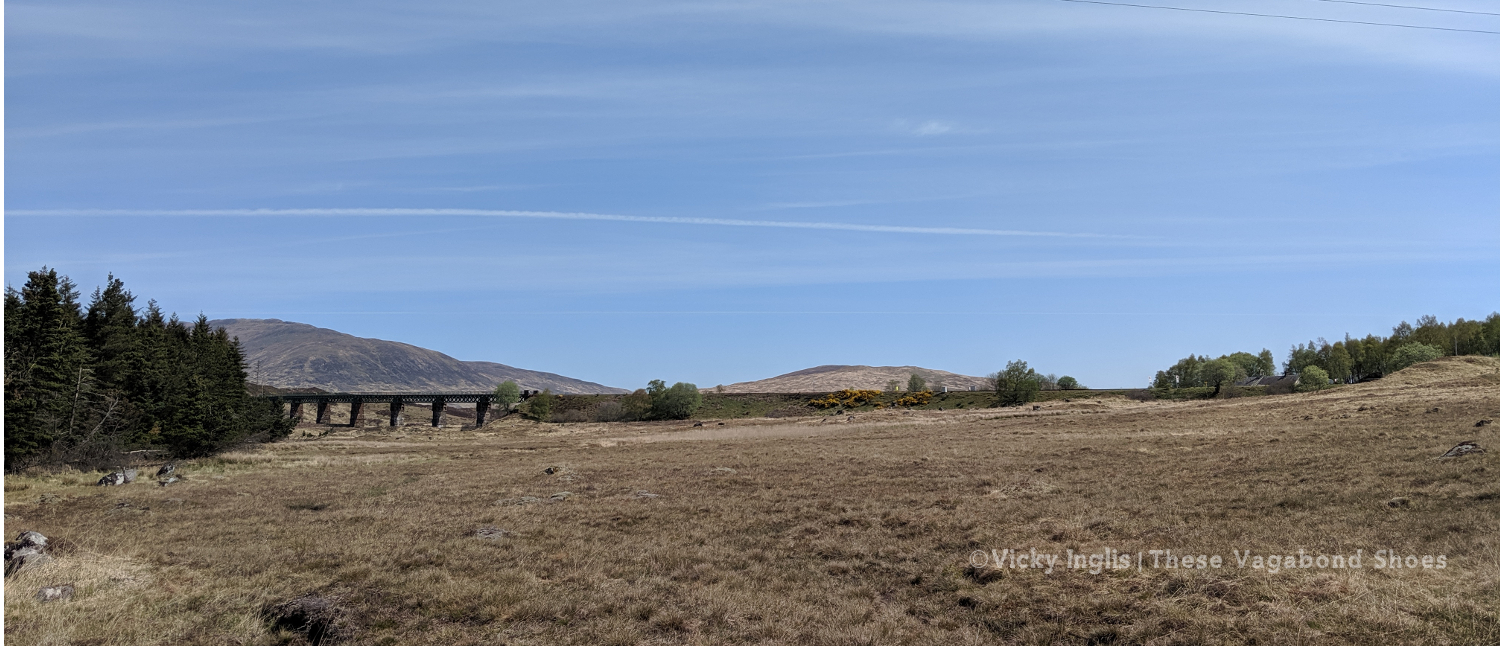
And today I do, finishing the distance I should have done yesterday, following the electric lines across the moor, then pushing on along the road from Rannoch Station (powered by a couple of coffees and a huge wedge of cake from the Station tearoom) and down the south side of Loch Rannoch to get to a good point for the following morning. It was a long slog on the road, especially in the sun, and it was a relief to find a shady spot to pitch my tent by the end of the day.
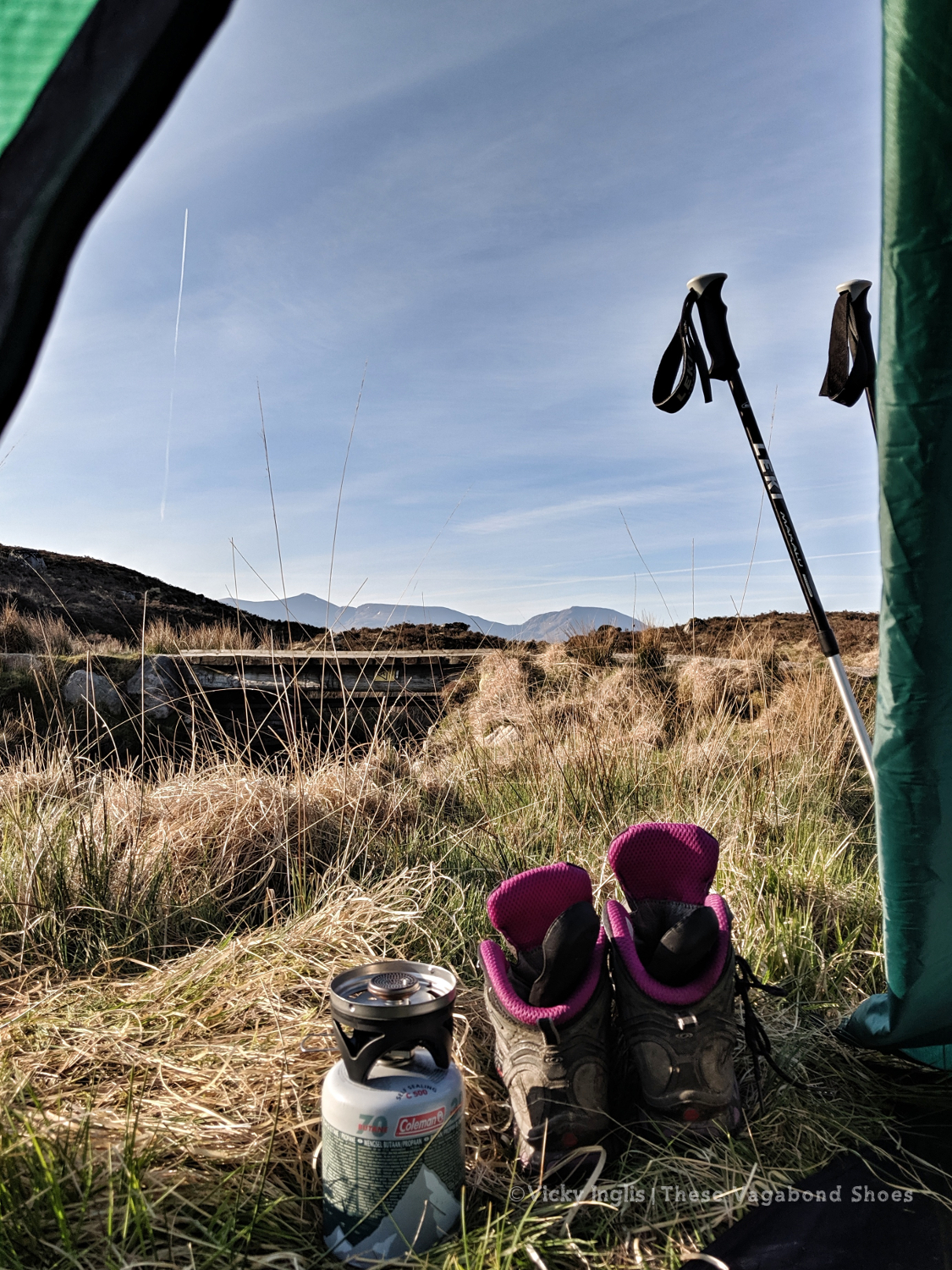
Wednesday 15/5
TGO Day 5: Dall to Braes of Foss
Distance: 24km
Ascent: 1065m, Schiehallion
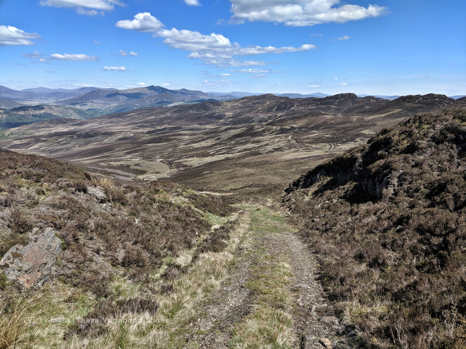
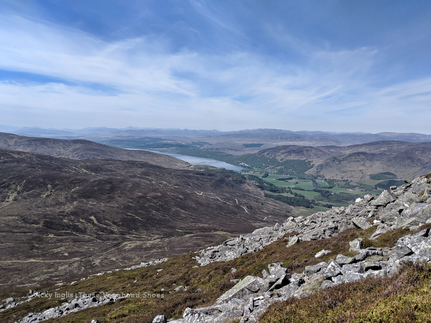
I’d been a bit concerned about adding many Munros into my TGO route, especially at the beginning. Just a month ago, felt like I was getting out of breath on the short, steep hills of the Devon coast. But it felt like a bit of a cop-out to come north and not climb at least one proper mountain. After looking at maps to plan my route, I settled on crossing Schiehallion, almost right in the centre of Scotland.
It’s one that I hadn’t walked up before, and has a fascinating story, whether you’re a fan of the wee folk or a bit of a geography geek. I think I’d put myself into the latter category.
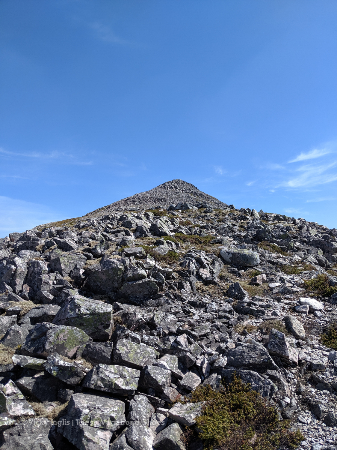
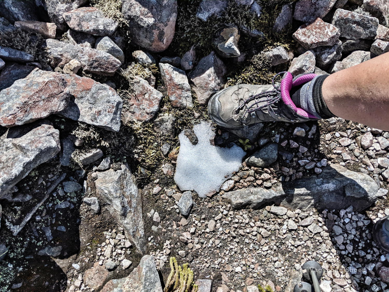
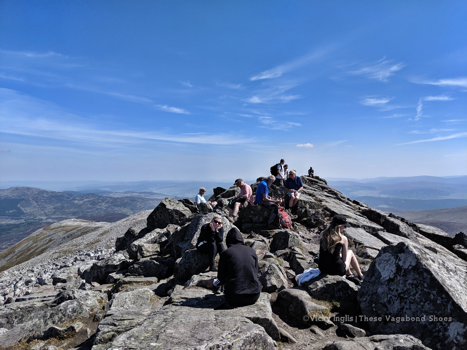
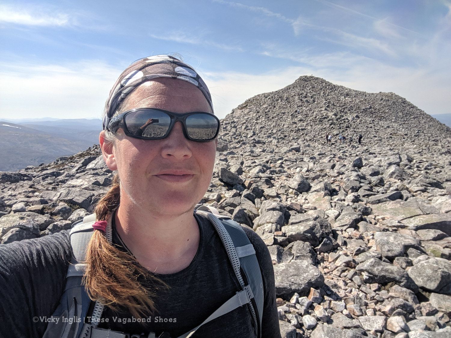
Not many people walk up from the west. A farm track leads up to the base of the ridge, with that famous pyramid view rising above you, then it’s a steep ascent through the heather to the start of the boulder field. Not a breeze to stir the warm air. One false summit, then the top comes into view. Almost there. And suddenly so many people.
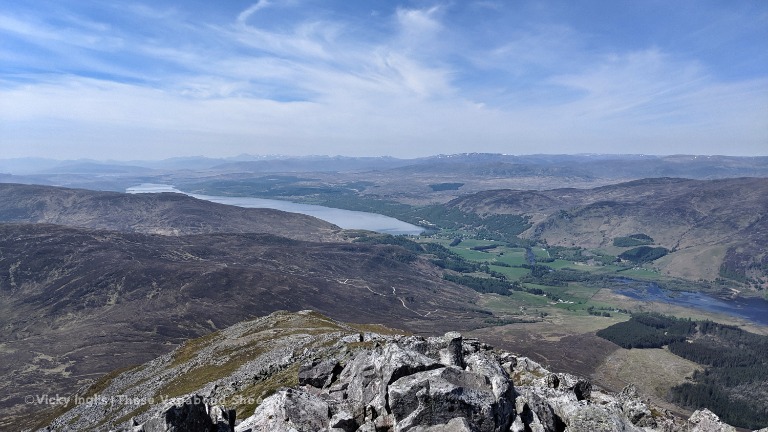
The view from the top is outstanding and fills up my heart. I can pick out my route all the way back to Glencoe. I walked all that way. I did that.
And now I’m here on a mountain top. Exactly where I should be.
Read the next instalment of my Challenge journal here, or catch-up with the previous one here.
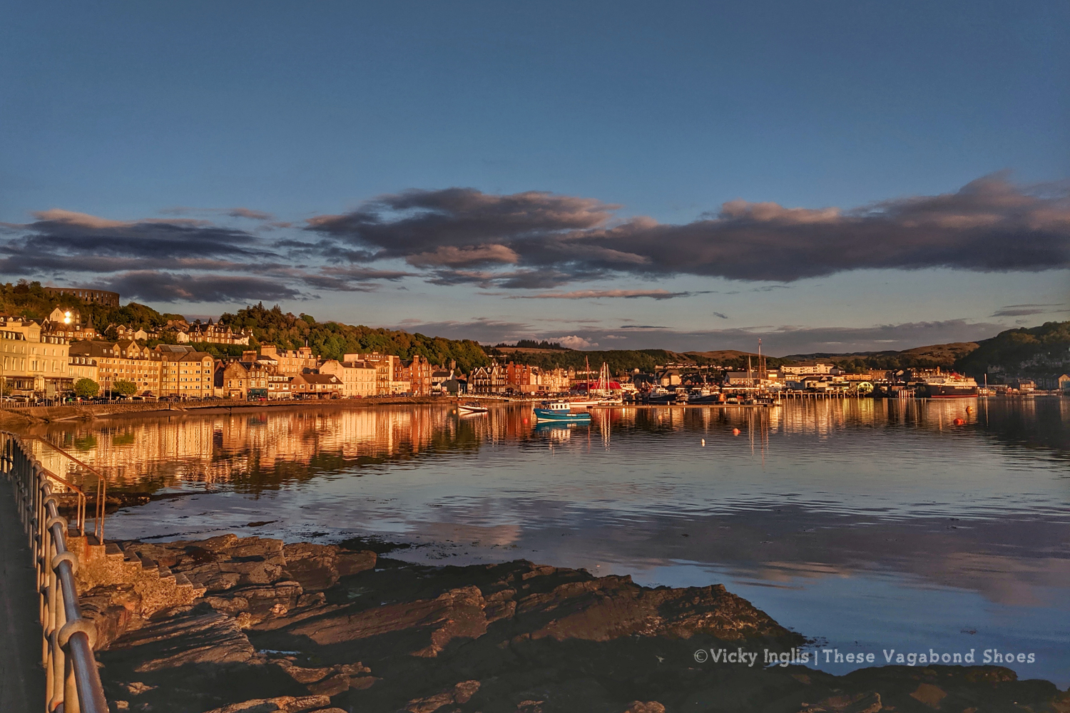
I arrived in Oban late on Friday afternoon, having shared the drive up from Dartmouth, via Leighton Buzzard and Biddulph, with John. While I was preparing to cross Scotland on foot, carrying everything I needed on my back, he’d decided to take the opportunity to plan a Highland road trip, crossing my route several times. I took advantage of his plans, so rather than post resupply packages to hostels and B&Bs on my route, I packed them into the car, and we’d meet up along the way.
Knowing I’d be seeing a friendly face now and again was reassuring, but my sense of apprehension was huge. I picked up a few last snacks and rearranged things in my pack, again, and mulled over what was to come. Will I be cold? What if I get lost? Have I brought enough? Have I brought too much? Can I actually do this?
I’d already had to change my plans, switching my start from Lochailort to Oban, and extending a couple of days distance to make sure I could fit the Challenge into my leave from a new job. My fitness levels also played heavily on my mind. For the past six weeks, I’d been living onboard Irene, a traditional sailing ship, and unable to walk any farther than the length of the deck. I’d had one afternoon off to walk from Brixham to Dartmouth on the south-west coast path; was that enough to prepare? (No) Am I good enough? (Well, we’ll see)
Now all I had to do was walk the 270km to reach the east coast. Easy, huh?
Saturday 11/5
TGO Day 1: Oban to Loch Etive (Inverawe Country Park)
Distance: 25km
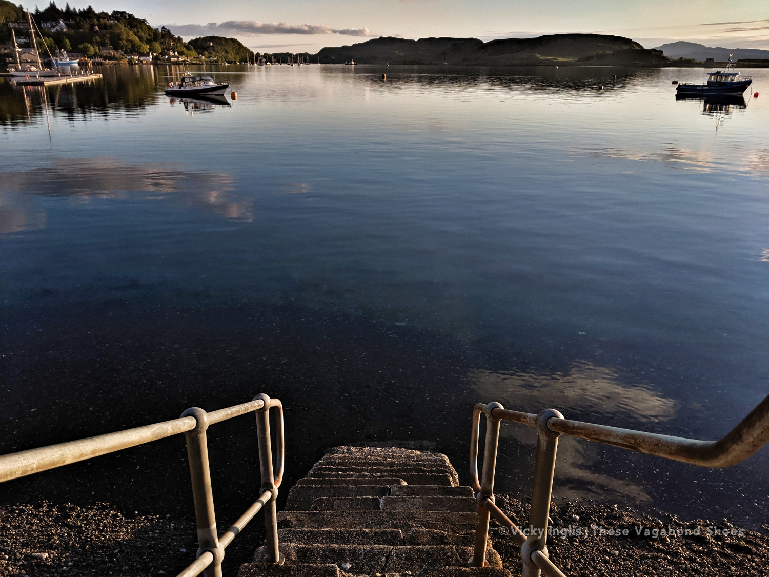
After a bit of last-minute reorganisation (read: faffing about ) I finally signed the register at the youth hostel around 10am; one of the last names on the list left unchecked. Most of the Oban departures had left the previous day, so I’d be following their tracks out of town. If I could find my way out of town, as that depended on picking up a footpath somewhere behind a house near the top of the hill.
I crossed the road to make my official start from the beach, with my toes dipping in the water. Yesterday’s glorious sunset was a sign of things to come, warm sun and clear blue skies remained as I climbed the hill to McCaig’s tower, picked up the footpath and headed for the golf course. My nerves from earlier in the morning soon dissipated, and I was feeling confident as I headed away from the coast.
The hardest part of the day’s navigation was following the right road in town to make sure I found the footpath over the hill. For the rest of the day, I followed the minor road through Glen Lonan to Taynuilt, headed through the village, then crossed over a suspension bridge to Inverawe Country Park. From here I picked up the track alongside Loch Etive and found a suitable spot to pitch my tent and listen to the birds. I watch the sun go down, thankful for the absence of midges.
It felt like a great first day. No problems with my feet, through my hips and shoulders were not yet used to the weight of my pack, and I could feel the start of a bruise on my left hip.
Sunday 12/5
TGO Day 2: Loch Etive, near Glennoe, to Glen Etive, near Dalness
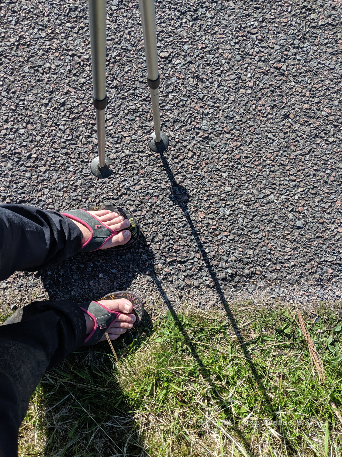
Distance: 25km (distance walked in flip flops: 7km)
I woke in the early dawn to the sound of a cuckoo calling in the tree above my tent, and found a skin of frost around the vent by my head. Time check, almost 5am. I pulled a pair of gloves on, pulled my hat down over my eyes, and tried for another couple of hours sleep. The little bit of smugness at the lack of midges disappears quickly when I discover several ticks in my tent. I shook everything out and hung my tent over the tree vacated by the cuckoo while I checked my body.
After breakfast and a coffee, the sun was high enough to melt the frost on the tent, and I packed quickly to get on the way. The first couple of hours were easy-going, following the track along the east side of the loch until it disappeared somewhere between a beach and a bog. I crossed paths with a group of Danish challengers, though they forked off into Glen Kinglass not long afterwards. The day got hotter as I slogged on through the tussock alongside Loch Etive, so when I found a river with a deep pool I stopped for a lunchtime swim. It’s such a beautiful spot, I find it hard to leave.
A long trudge to the head of the loch faded out into a slog through the bog around Kinlochetive, at times falling thigh-deep in the wet earth, sapping all my physical and mental energy. I try to skirt around the edge of the bog, thinking that it would be drier underfoot the higher up the slope I went. That’s physics, right? So wrong.
By the time that I reached the road in Glen Etive I was pretty much done, and felt close to crying, but still had five and a half kilometres to go before my planned overnight campsite. The Laraig Gartain, the pass between Buchaille Etive Mor and Buchaille Etive Beag, had been taunting me from the moment I hauled myself out of the bog. It just hadn’t been getting any closer however far I’d walked towards it. It loomed over the whole afternoon.
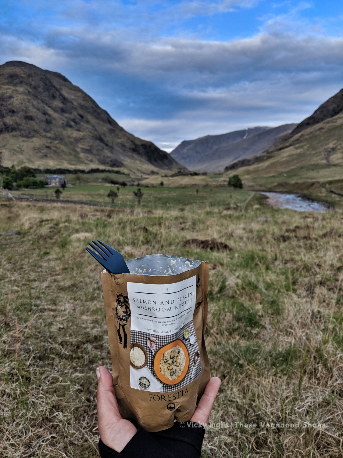
A coffee break and a chat with day hikers in the carpark at the head of the loch perked me up, and I kicked off my wet boots to finish the day walking along the road to Dalness my flipflops. I pitched my tent with a Skyfall view and treated myself to the fanciest of the meal pouches I’d packed for this stage of the Challenge, before retreating to my sleeping bag for the night.
Read the next instalment of my Challenge journal here.