Some of the things that have captured my attention over the past few months, inspired by similar blog posts by Alex Roddie and Chris Townsend. A collection of interesting, thought-provoking, and beautiful readings from around the internet that I want to share with you.
The volcanic eruption of Whaakati / White Island in December 2019 was truly shocking. In this essay, Alex Perry examines the events to challenge our perception of risk in the outdoors.
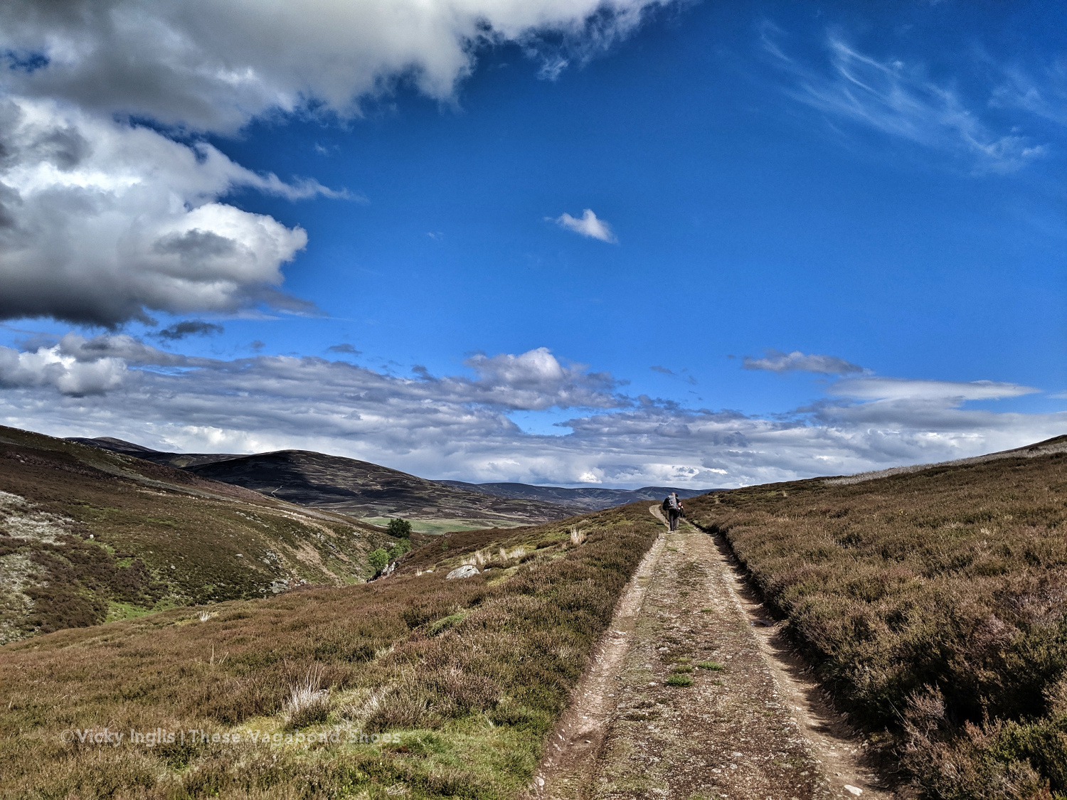
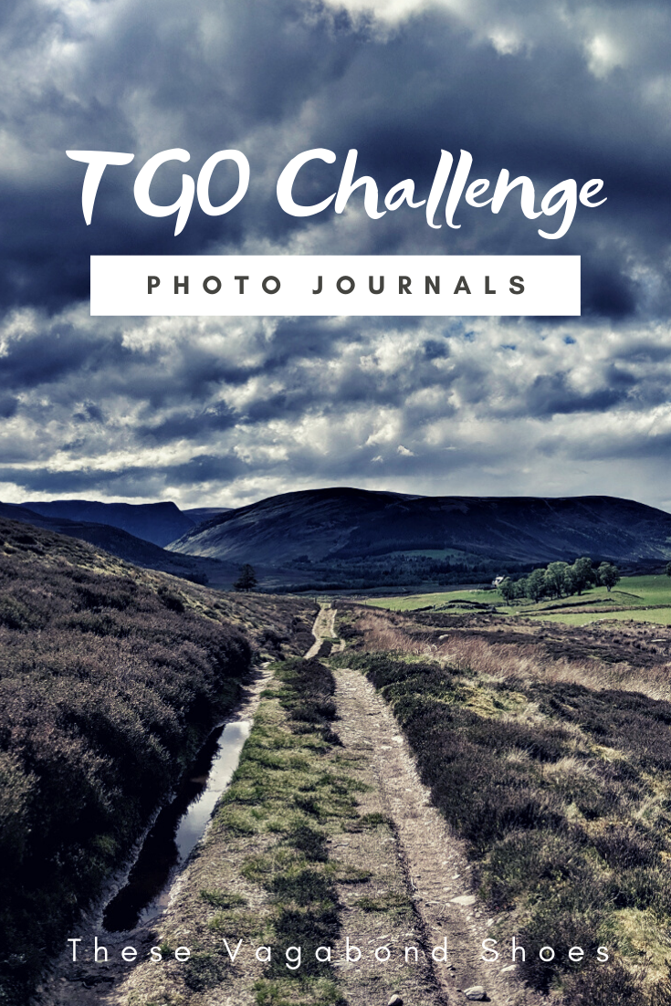
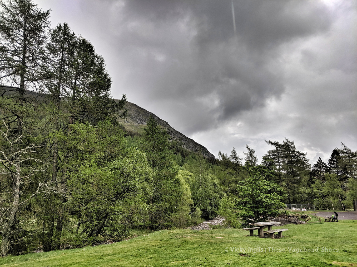
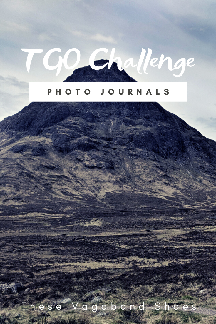
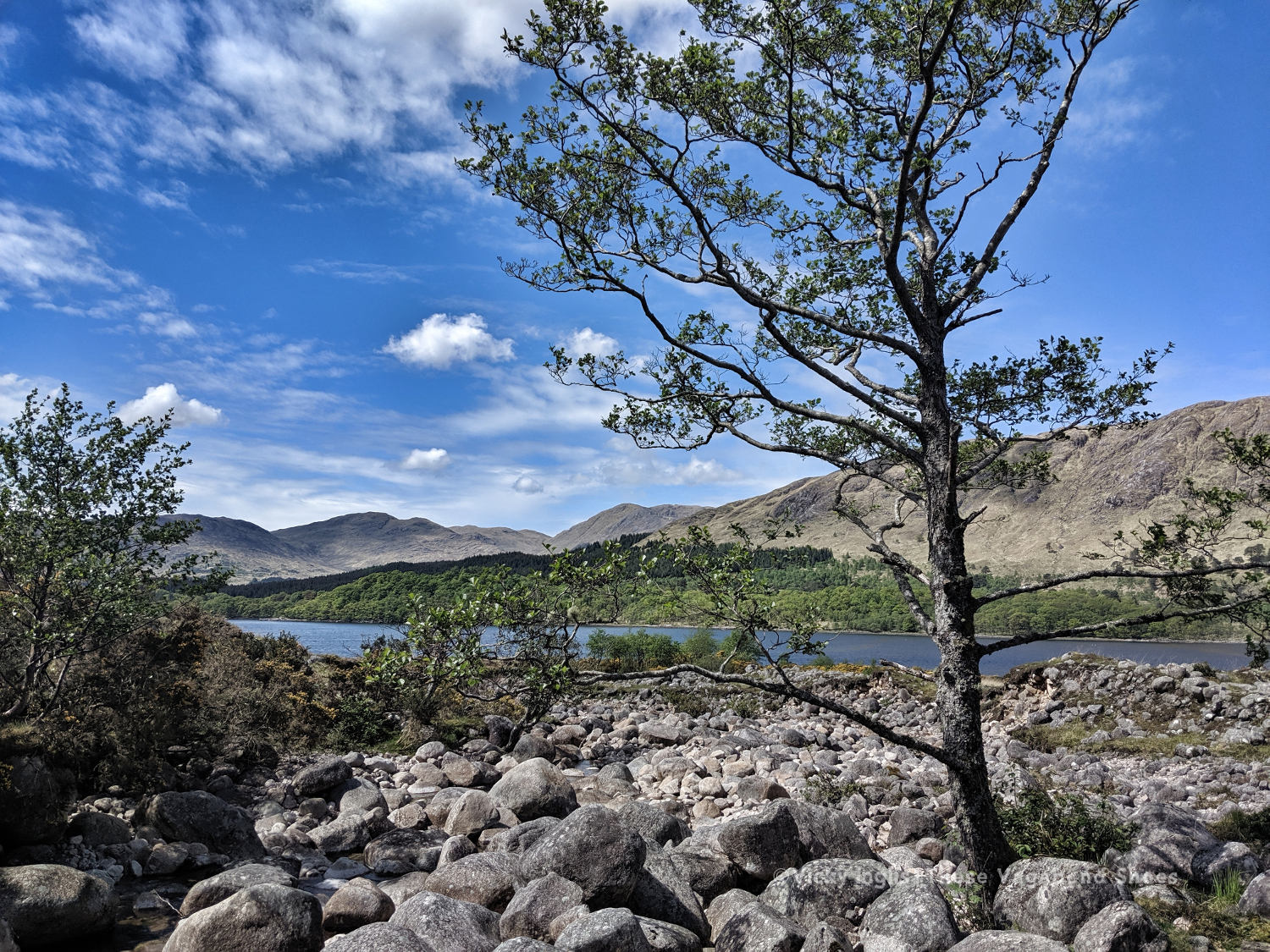
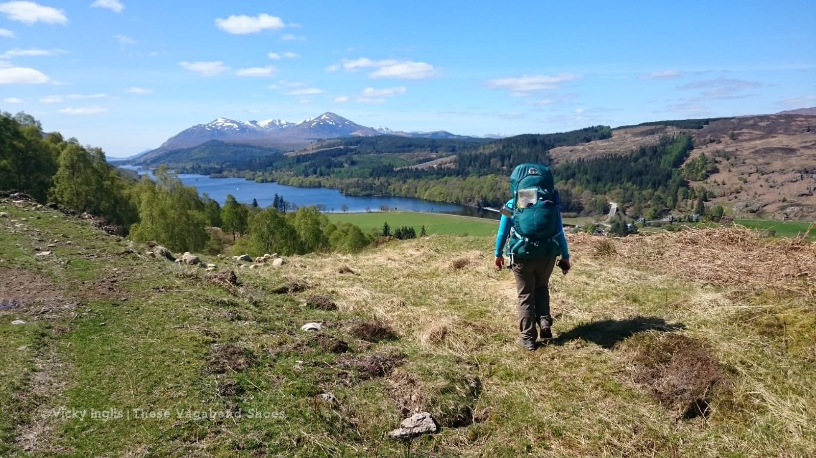
Instead of taking part in the 41st TGO Challenge in May, I joined the virtual challenge on social media, and enjoyed this dive into the history of the event from Chris Townsend.
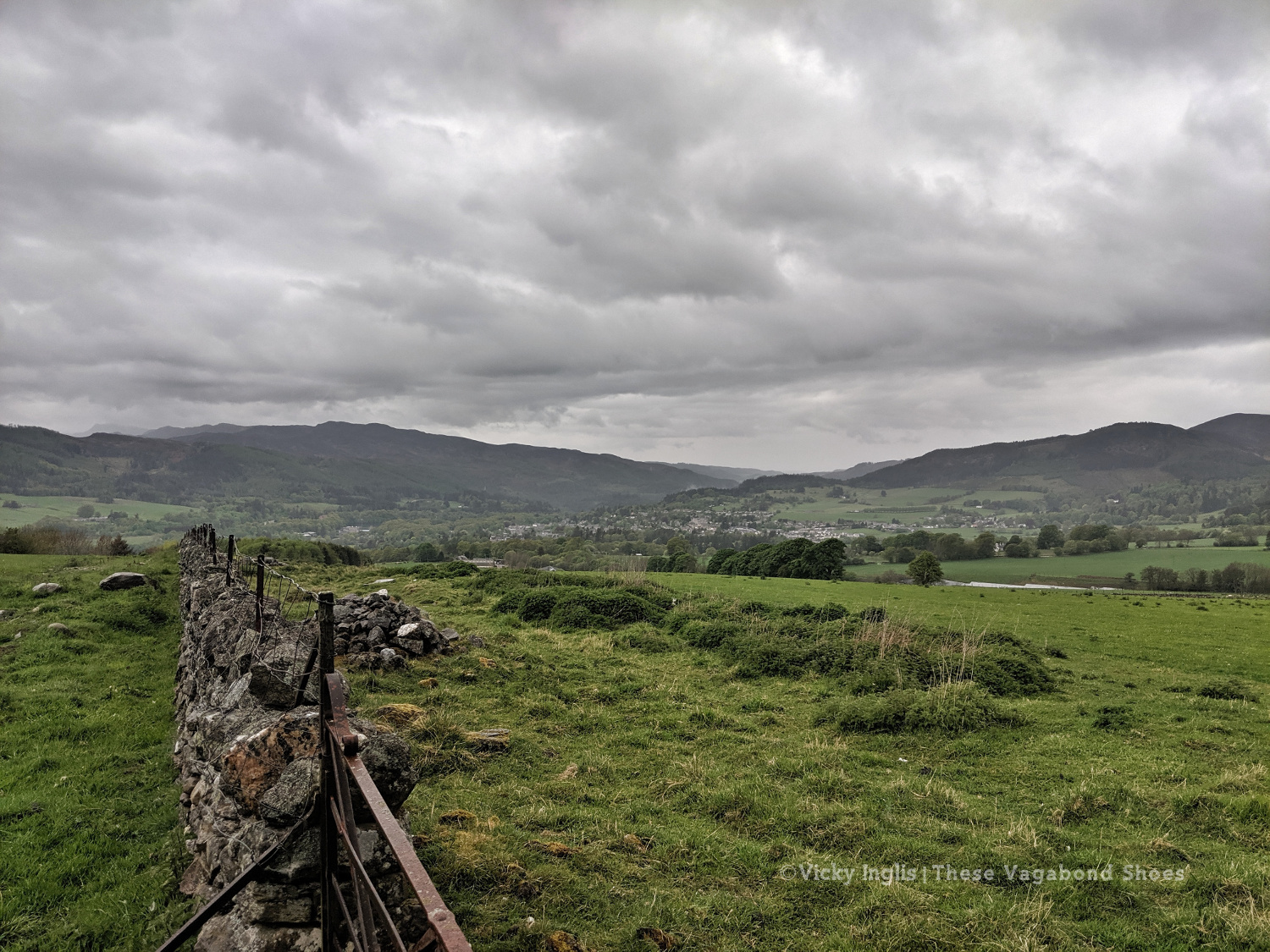
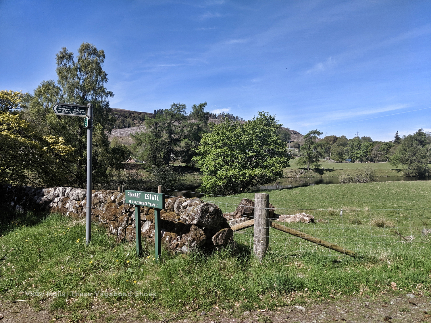
During lockdown I contributed to the Slow Ways project by mapping a series of routes in Scotland. This article introduces the initiative to a wider audience.
An acoustic exploration of solastalgia, the pang of future loss of astonishing natural beauty in a rapidly changing environment, in the Antarctic, revealing how listening can be seeing.
These times are certainly unprecedented. While I was in Antarctica, and the rest of the world was waking up to COVID-19, the continent experienced extraordinary temperatures.
This essay by Rebecca Solnit dissects the foundation rocking clarity brought by the COVID-19 pandemic, and optimism for the future as connections are rebuilt.
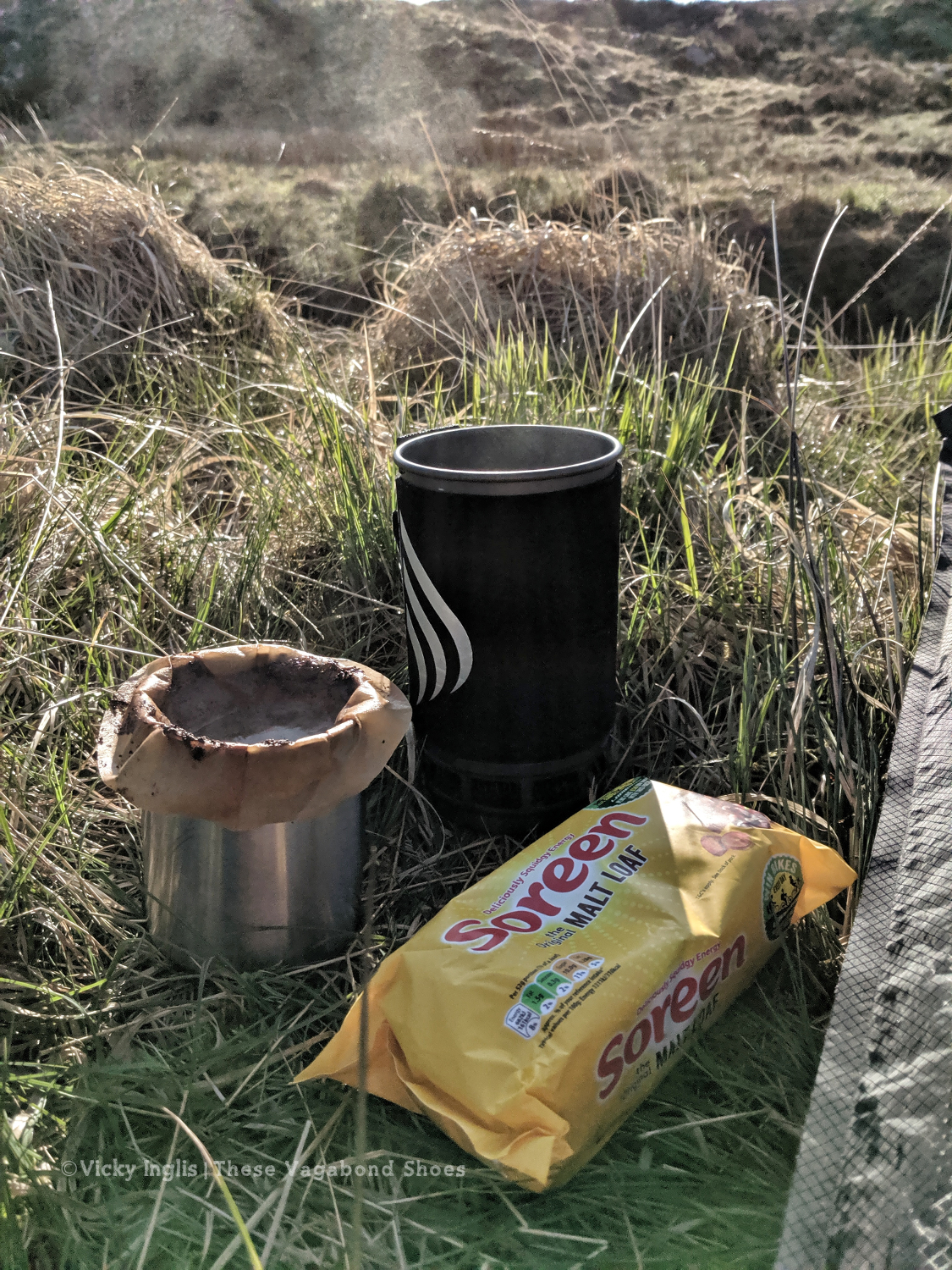
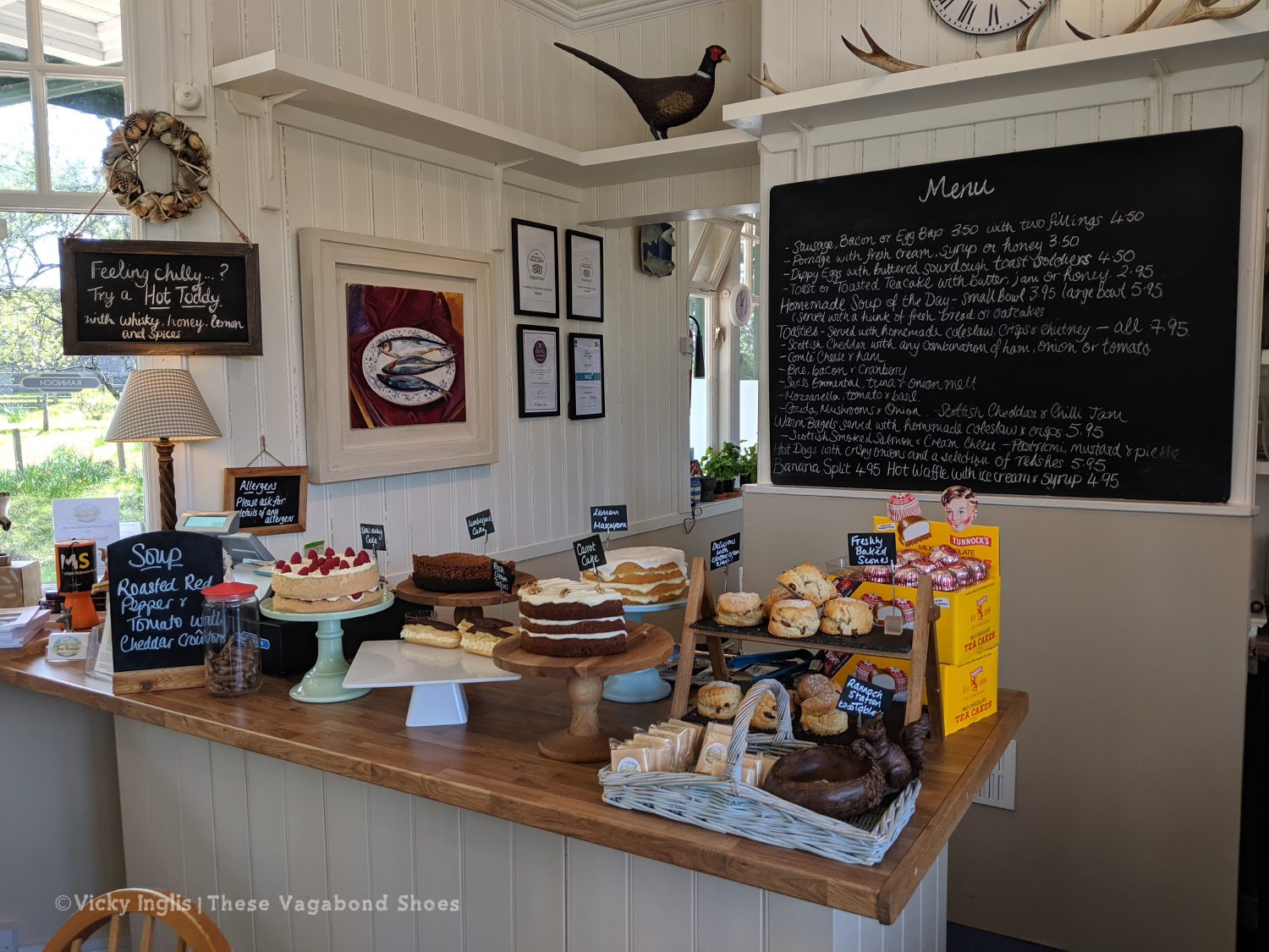
Well, like most of us, the answer for this season is nowhere much.
The sun rising from the North Sea in early April. Taken from the end of the garden at my parent’s house while in lockdown in the UK.
I returned to the UK from Antarctica in mid-March, via Ushuaia and Buenos Aires, before spending a week in Cambridge to wrap up the season for the UK Antarctic Heritage Trust. We reached the UK just as international travel restrictions came into place, and followed the difficulties that our friends on ships faced from afar.
It was a challenging couple of weeks as we reconnected to the rest of the world and remembered how to do all the little everyday things that had been absent from our lives over those 110 days. On top of that was the added strangeness of adjusting to our new normal in the time of corona, and it now feels like it was just a lucid dream.
I headed up north to my parent’s place in Aberdeenshire, where I could live in the caravan at the end of the garden and be useful while they shielded my elderly granny in the house. Reuniting with family wasn’t the hugs and long conversations I’d imagined, but waving through the window as I stood outside in the garden, and chatted through WhatsApp.
The limits of my lockdown home.
The COVID-19 lockdown in the UK was put in place the day I arrived home, and I’ve been here ever since.
What I’ve done
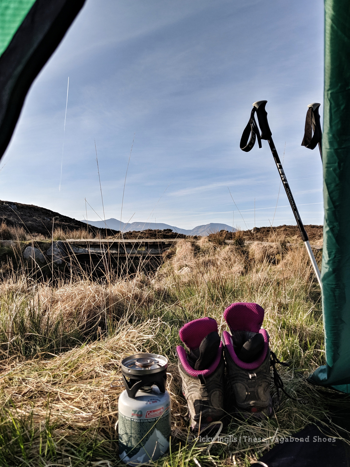
Over the Easter weekend, I took to the garden for a few nights of camping out. As well as being up to watch the sunrise and listen to the dawn chorus, it also prompted me to finally get round to fixing the slow puncture in my air mat.
Watching the sunrise and listening to the dawn chorus in a garden camp-out on a chilly April morning.
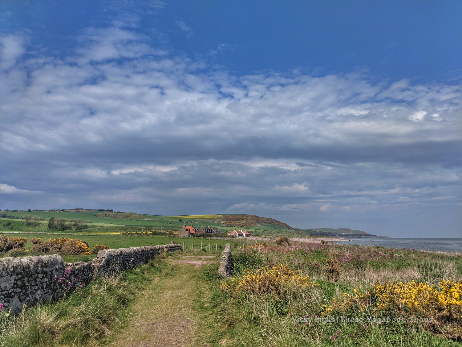
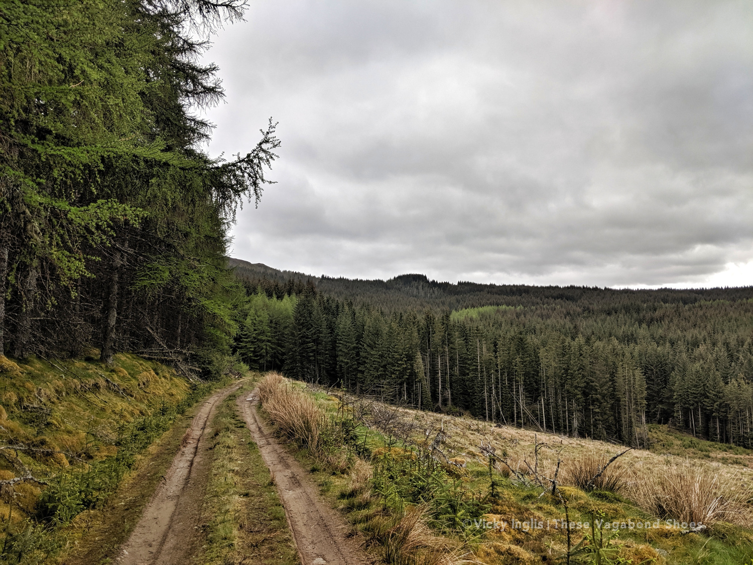
I’ve been really fortunate in that I live in a rural area, and have plenty of opportunities to get outdoors for exercise and to explore the nature on my doorstep. I’ve got a blog post in the works about that, which should go live at the end of June to include notes about #30DaysWild.
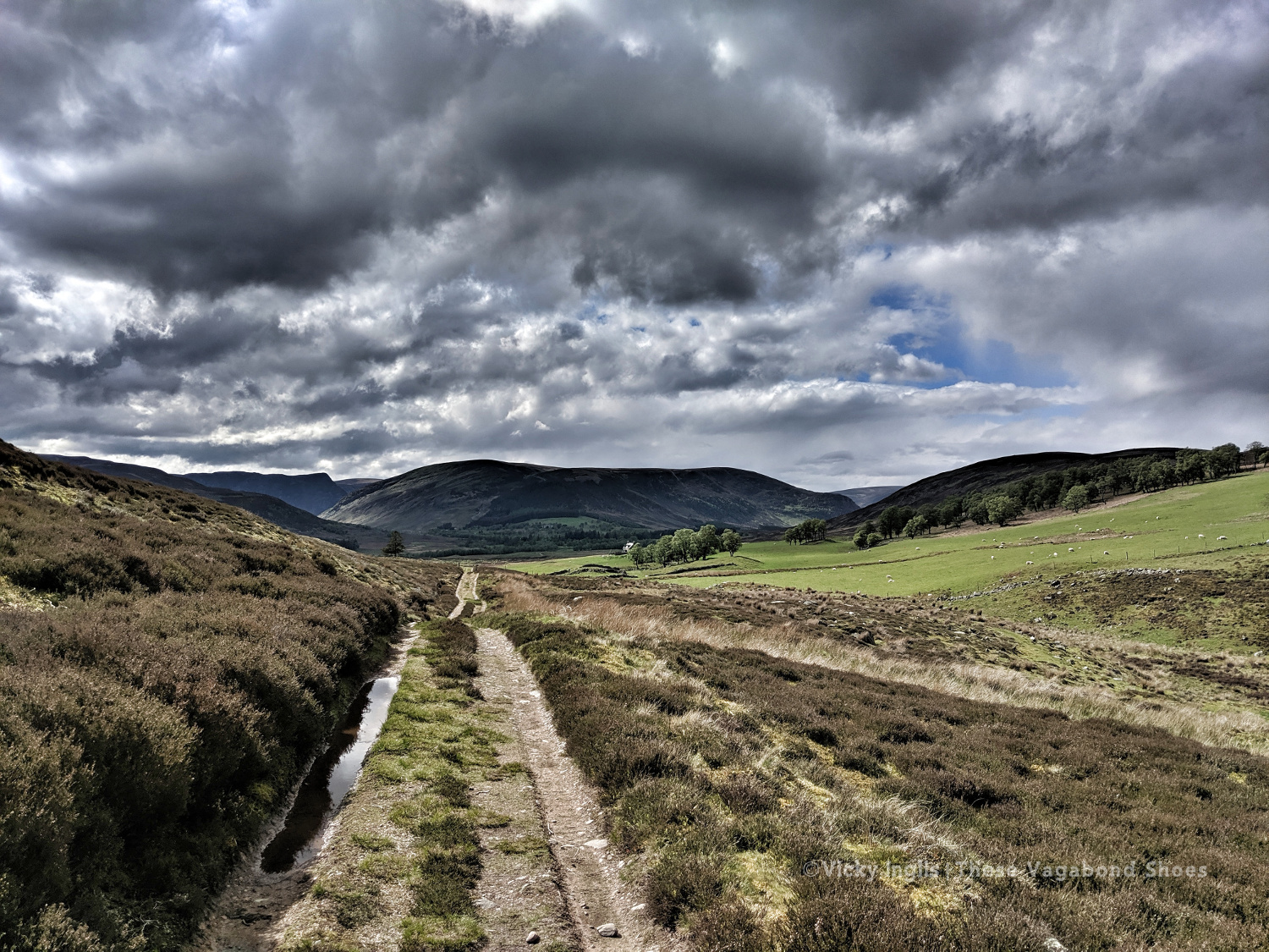
I used my time to volunteer for the Slow Ways project, an initiative to create a network of walking routes connecting settlements. Walking has immense benefits for health and wellbeing, for individuals and for communities, and integrating it into everyday life is a positive solution towards tackling the climate and ecological emergencies. I mapped around 50 routes in northern and northeast Scotland to contribute towards a total greater than 100,000km.
In mid-May, I should have been taking part in the 41st TGO Challenge, to cross Scotland from west to east. I’d decided on a more challenging route than last year, starting in Morar and taking in more hills on the way to Montrose. Instead, I joined with other would-be challengers in the first-ever #virtualTGOC, sharing stories and pictures from the last 40 years of the event and gathering inspiration for future years in the hills.
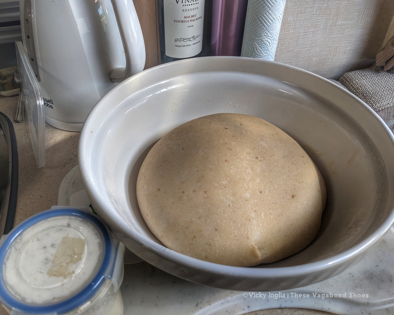
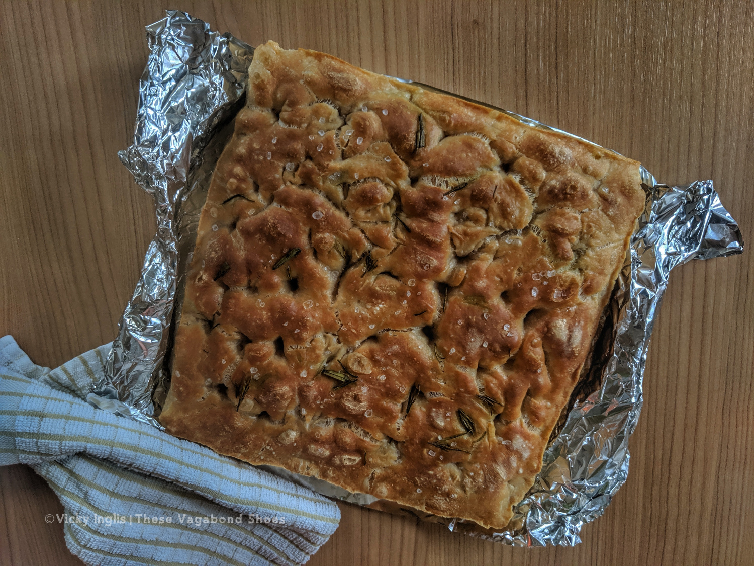
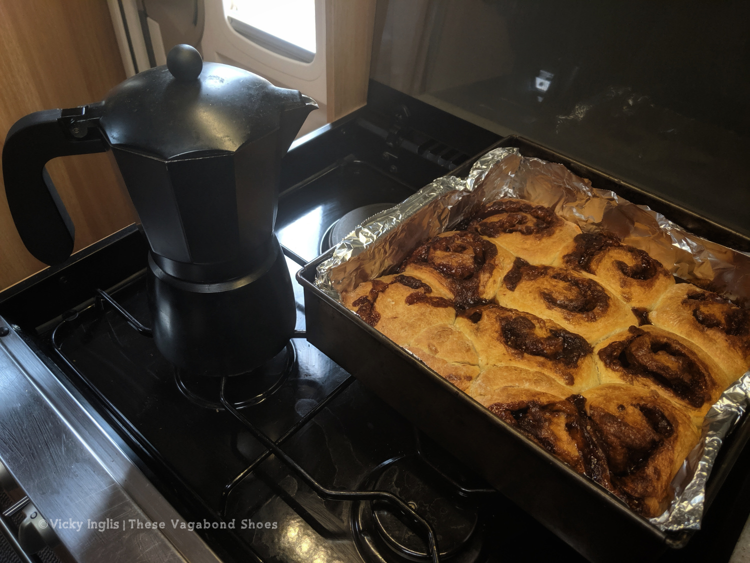
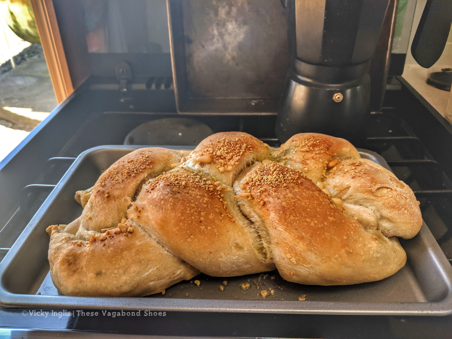
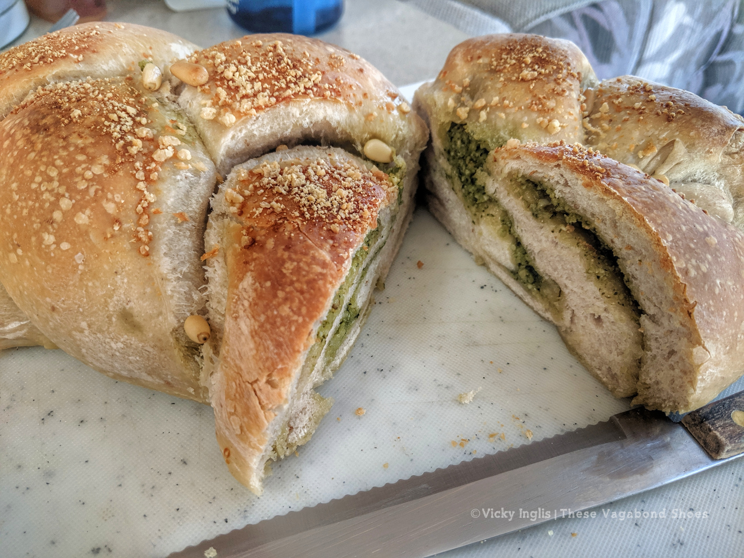
I was rather late to the sourdough party, but I was given a starter at the end of May and started to experiment. My first loaf could have done with a hatchet to break through the crust, but my cinnamon buns (Norsk kanelboller) were pretty good, and my rosemary and garlic focaccia was next level.
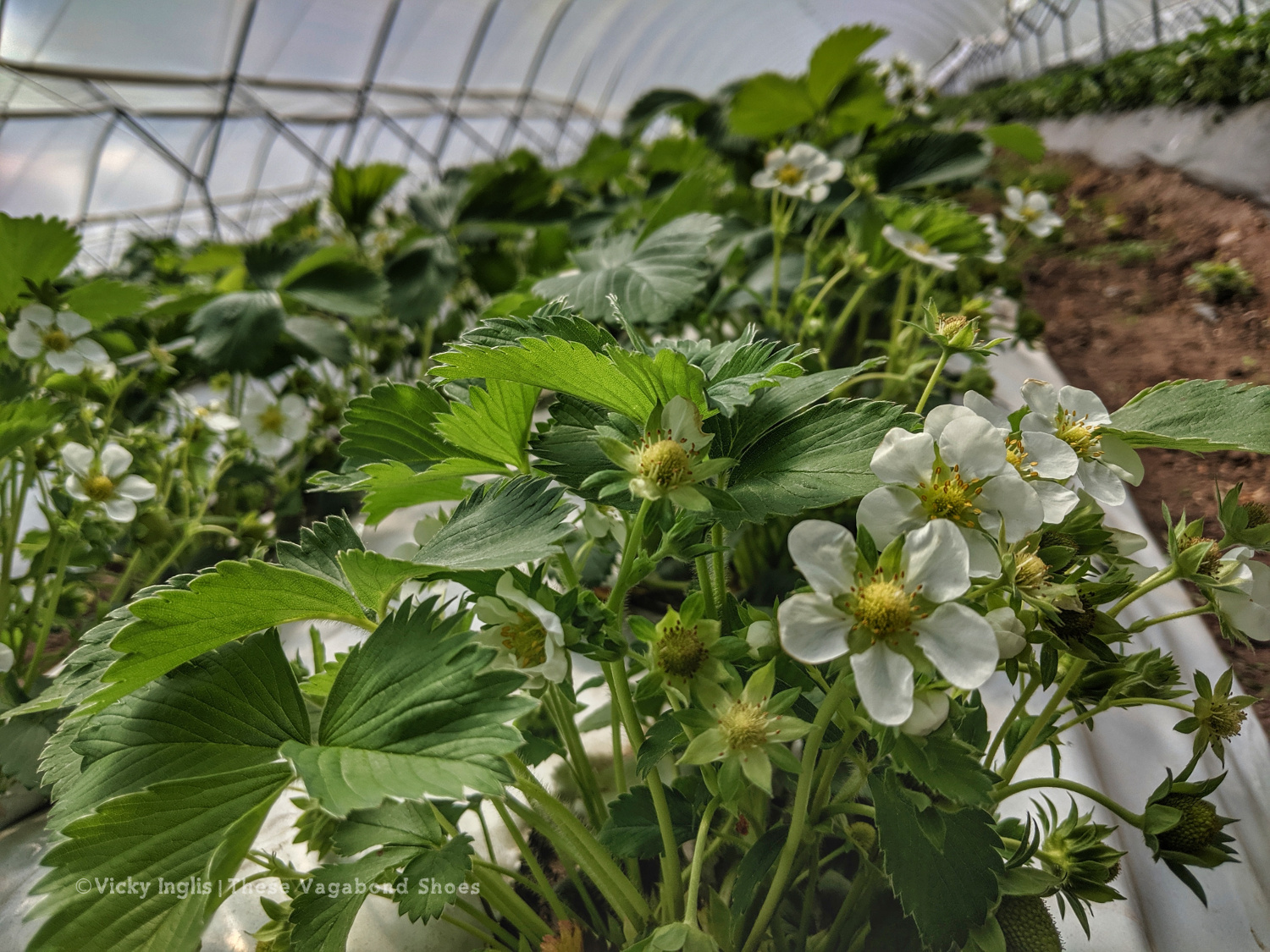
Around the same time, I was able to find work locally, starting as a fruit picker on a nearby farm. It’s not what I would choose to do, but at the moment it’s something, and will help to tide me over until my next opportunity for working or travelling is realised.
Life in plastic. Working in the polytunnels on the farm.
My Spring love list
Book: With the extra time available, I’ve finally read several of the books that were lingering in my “to be read” pile for some time, including most of these. My favourite read so far this year has been Horizon by Barry Lopez.
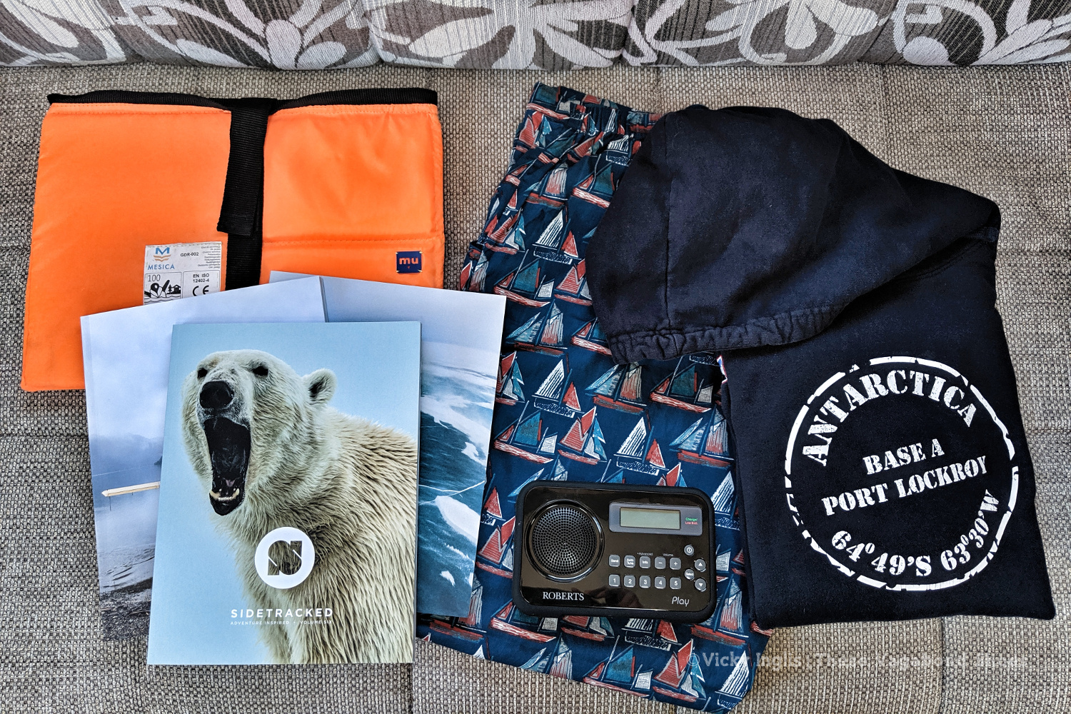
Magazines: I’ve recently discovered Sidetracked magazine, which combines incredible adventure and outdoor photography with inspired long-form storytelling. Dipping in for a read is pure escapism.
A few of my favourite thing from this Spring.
Film: Like everyone else, I’ve watched quite a few films during the lockdown. The one I’d most like to recommend was the incredible Climbing Blind, a documentary about Jesse Dufton as he aims to be the first blind person to lead a climb of the Old Man of Hoy, a sea-stack in Orkney. If you’re in the UK, you may still be able to catch it in the iPlayer.
Clothing: I really haven’t been wearing a great variety of things over the last couple of months. I’ve mainly been alternating between my fancy Seasalt pyjamas and Port Lockroy hoodie, and my running gear. It’s pretty strange wearing proper clothes again. And shoes, woah!
Equipment: Spending so much time on my own has been strange, after sharing the close living conditions of Port Lockroy and the even closer conditions on Irene of Bridgwater. I think its the quietness I find the hardest, so I love having the radio on in the background. I treated myself to a Roberts Play DAB digital radio, to make sure I can get BBC6Music as I read or write.
Before leaving for Antarctica I ordered a new case for my laptop but didn’t factor enough time for delivery. So on my return, I had a fabulous parcel waiting from Makers Unite, an inspiring Dutch social enterprise working with people from refugee backgrounds, teaching skills in product design and manufacture. My laptop case is made from recycled lifevests that were used in migrant travel.
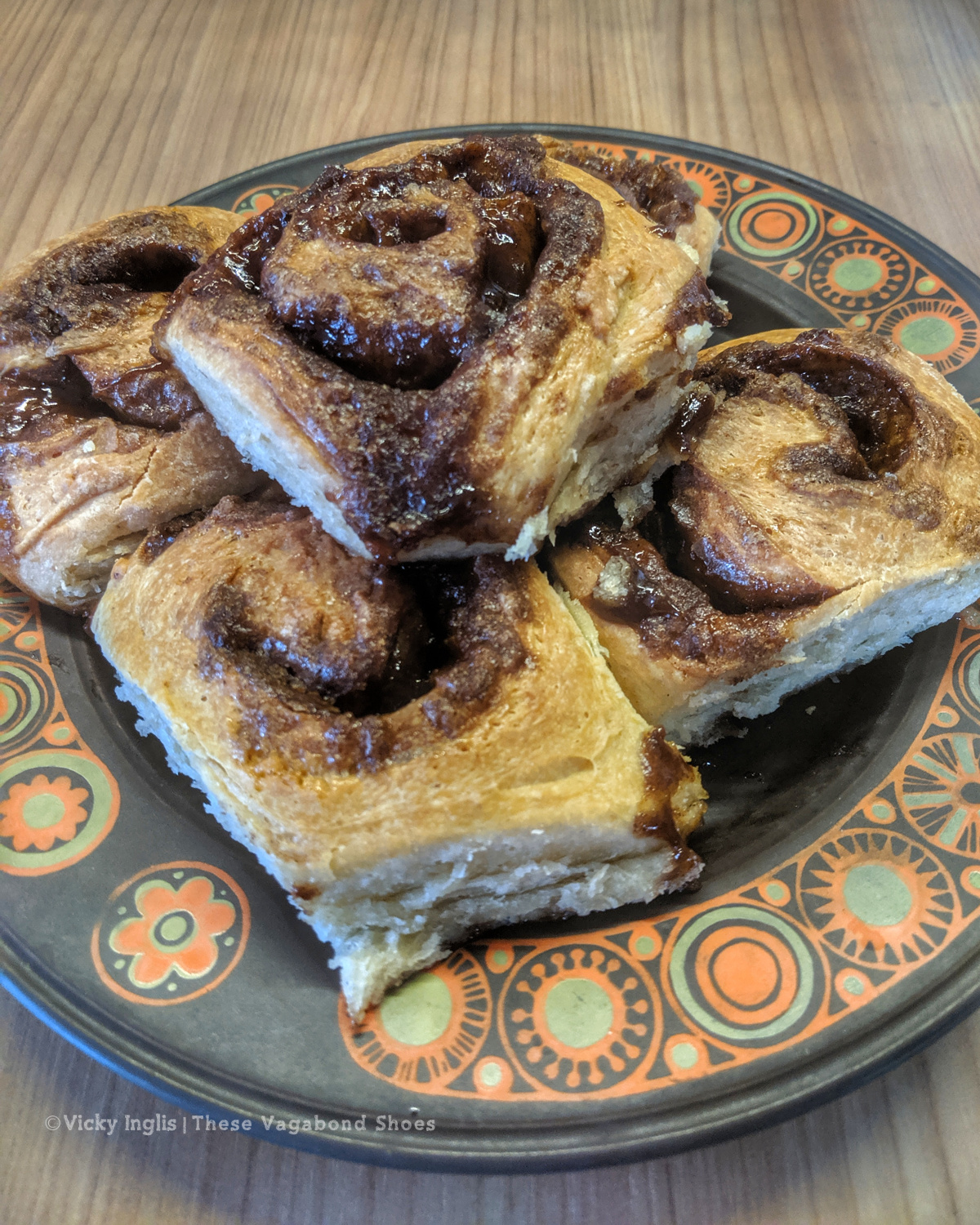
Treats: It’s been hard avoiding the temptation of endless snacking during lockdown, so I’ve been making a conscious effort to be aware of the cookies, cakes, and chocolate I’ve been consuming. I’ve been setting a target of no sweet snacks until mid-afternoon, then stopping whatever I’m doing to make a pot of my favourite Russian Caravan tea to go with the treat.
Sticky and delicious cinnamon buns.
What have you been up to over the last season? How has being in lockdown affected you?
I’m always here if you want to chat or leave a message in the comments below;
I’d love to hear from you.
This post contains some affiliate links. If you purchase through my link, I’ll make a small commission* on the sale at no additional cost to you. These help me continue to run the site, providing tips and advice, and sharing stories from my adventures. Thank you for supporting me.
*Maybe enough for a coffee. Not enough for a yacht.
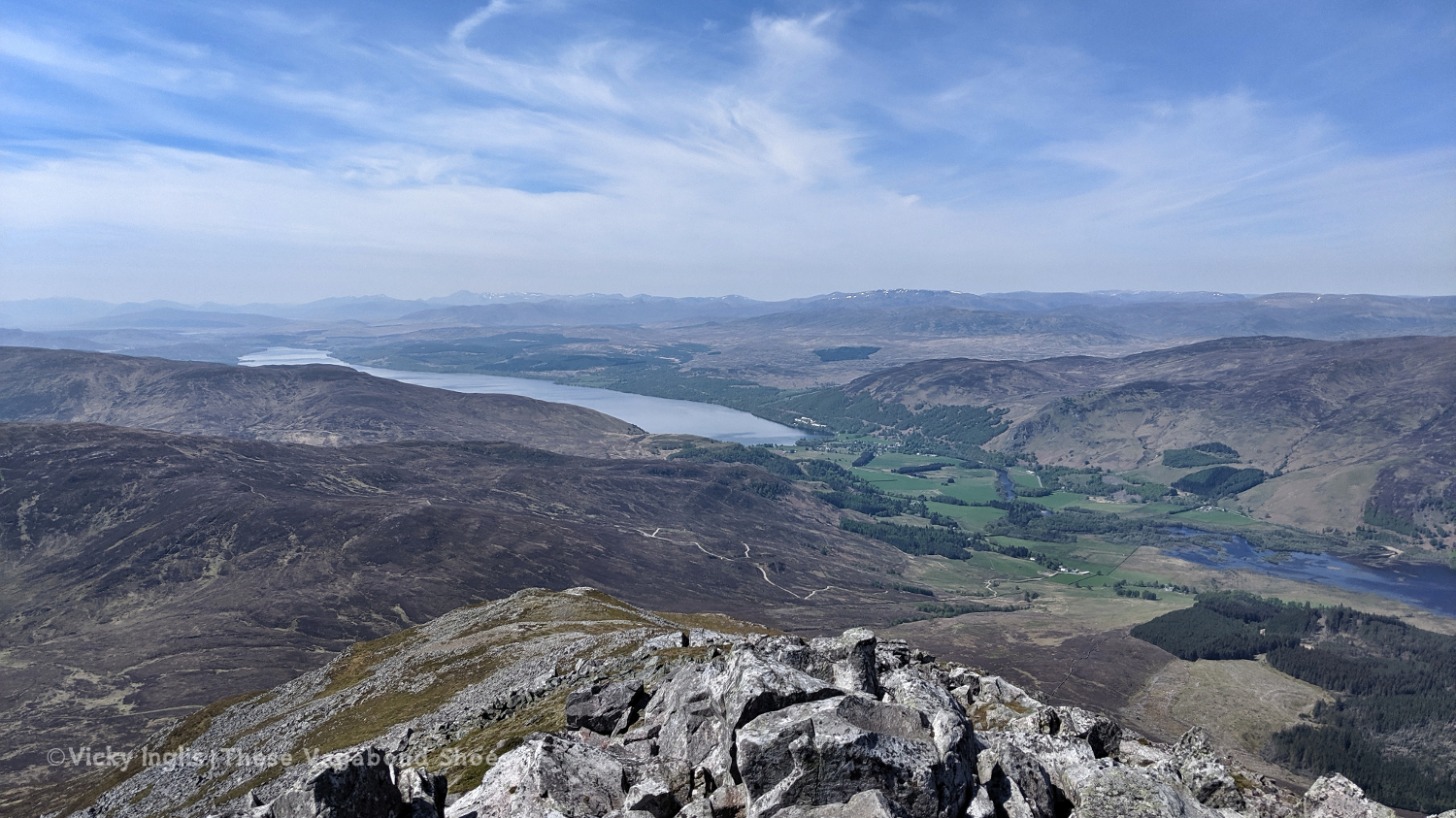
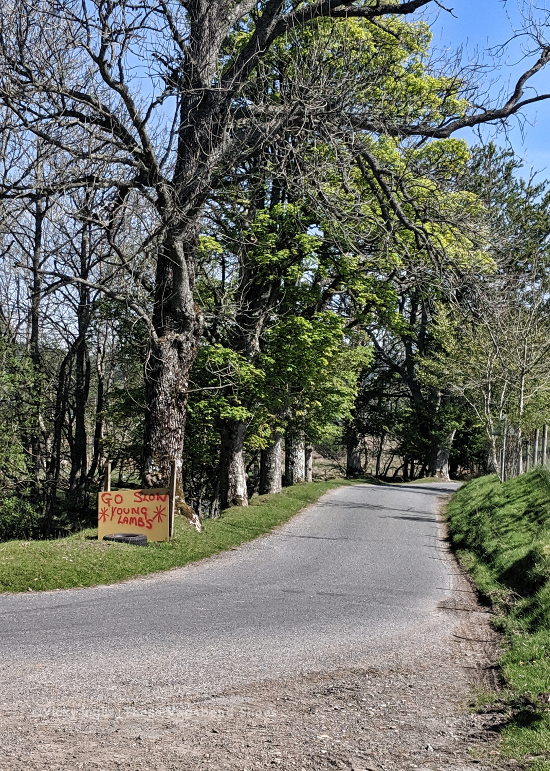
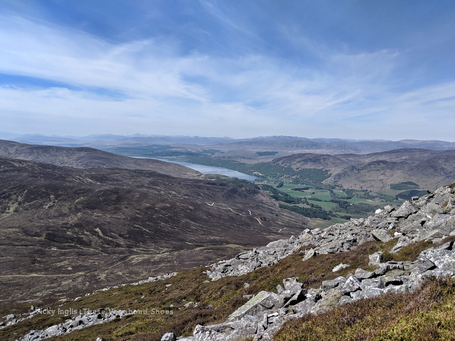
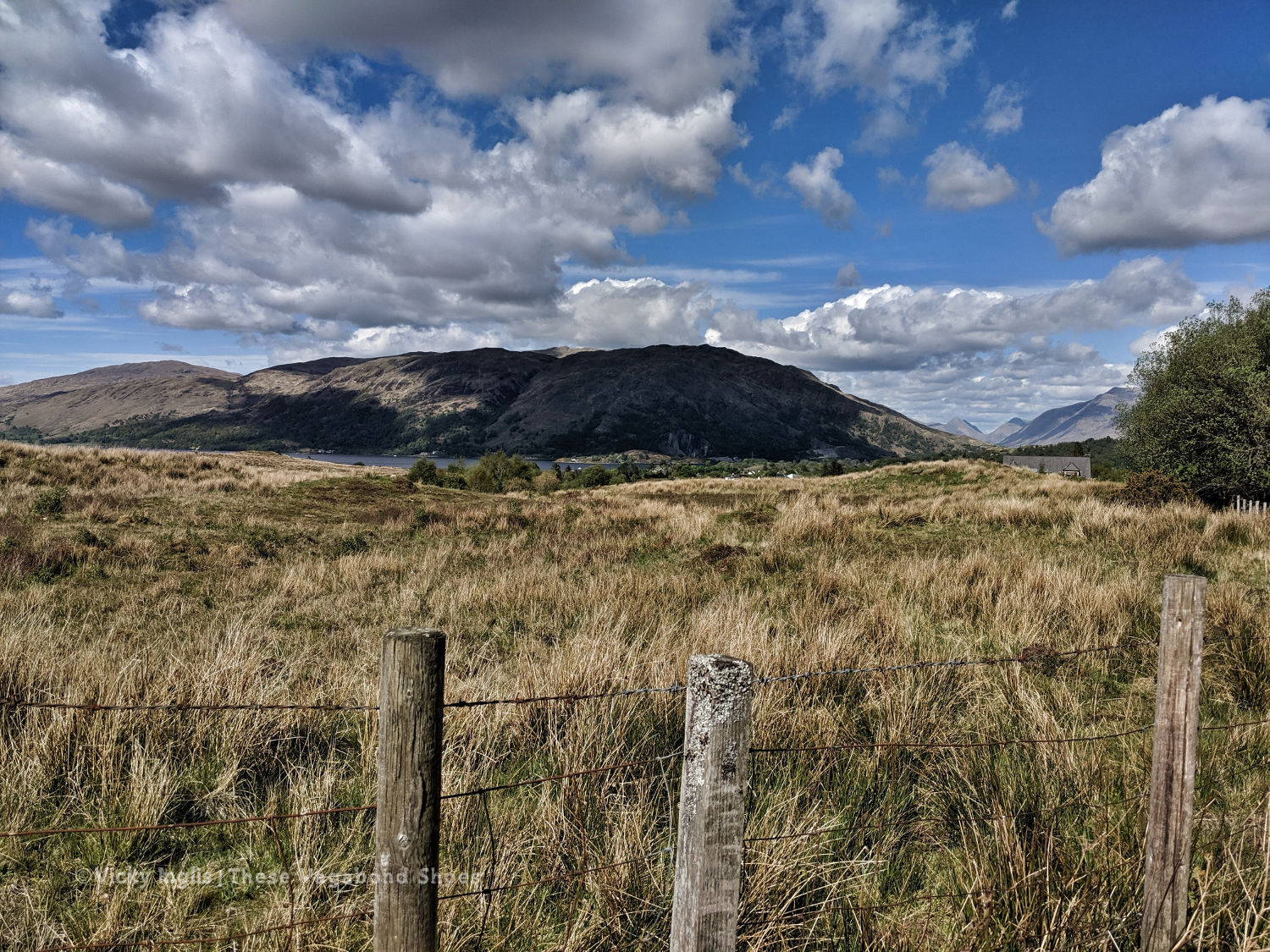
At 1,038 metres (3,547′) Schiehallion isn’t especially close to Ben Nevis in height, but it is certainly one of the most iconic Munros. The distinctive, near-symmetrical profile of the mountain attracts hikers from both home and away looking to experience the great outdoors, and it’s a great choice for first time Munro baggers.
The view from the western end of Schiehallion, looking along Loch Rannoch to Rannoch Moor and Glencoe. In clear conditions, it’s possible to pick out Ben Nevis.
Schiehallion
In the heart of Highland Perthshire, close to the very centre of Scotland, Schiehallion has the reputation of being both one of the most mysterious of Scotland’s mountains, and the most measured. The name Sidh Chailleann translates from Scots Gaelic as “the fairy hill of the Caledonians”, and it’s not difficult to find traces of folklore and superstition on the slopes of Shiehallion.
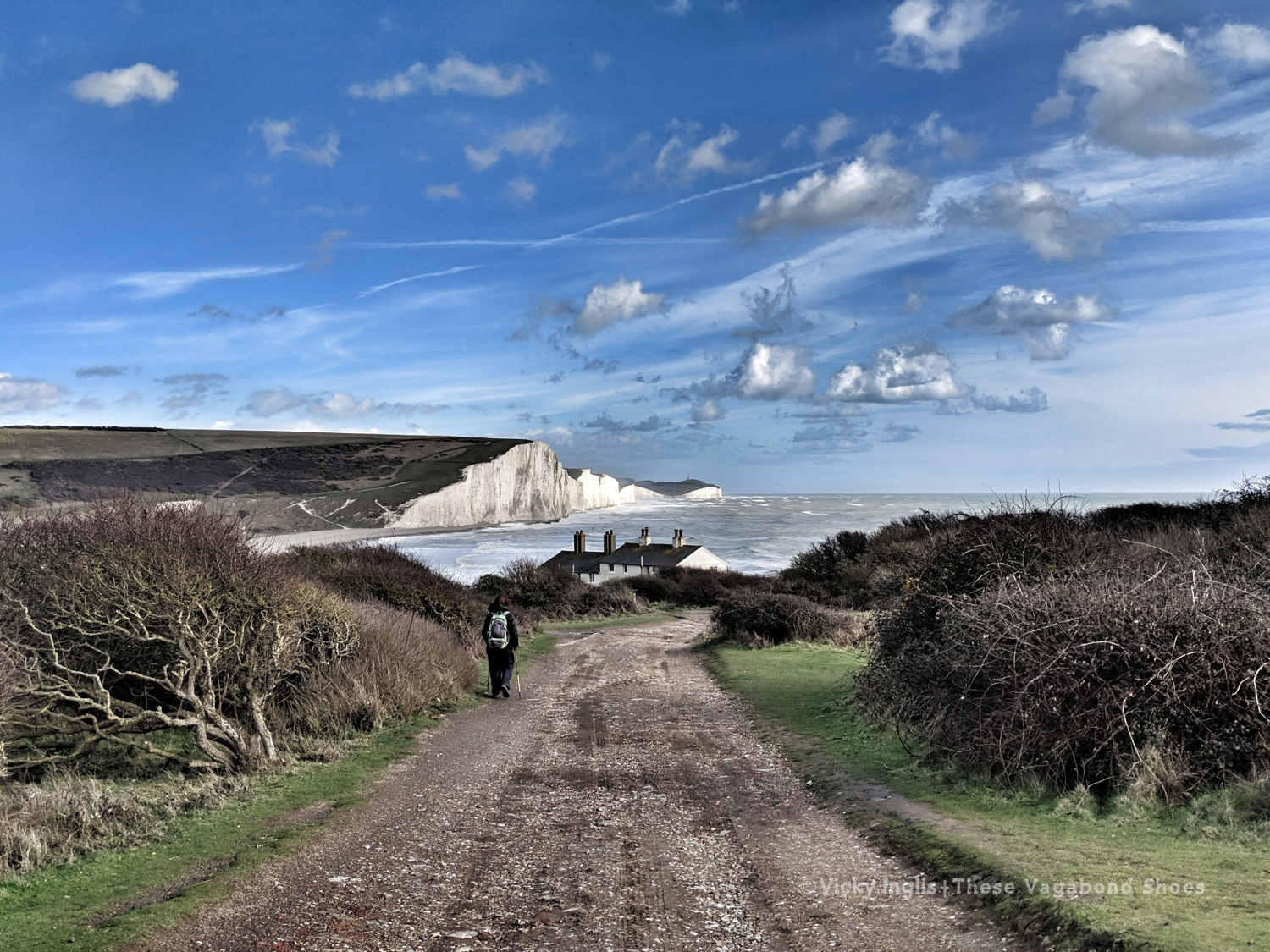
Freelance work kept me busy through March, but I was able to spend a week away in the South Downs National Park leading a walking holiday. Wild, windy weather made some of the routes quite challenging, but I was excited to explore a new area. My favourite walks were on the downs around Arundel, and along the Cuckmere valley to the famous Seven Sisters viewpoint.
The famous Seven Sisters view from just above the Coastguard Cottages on Seaford Head.
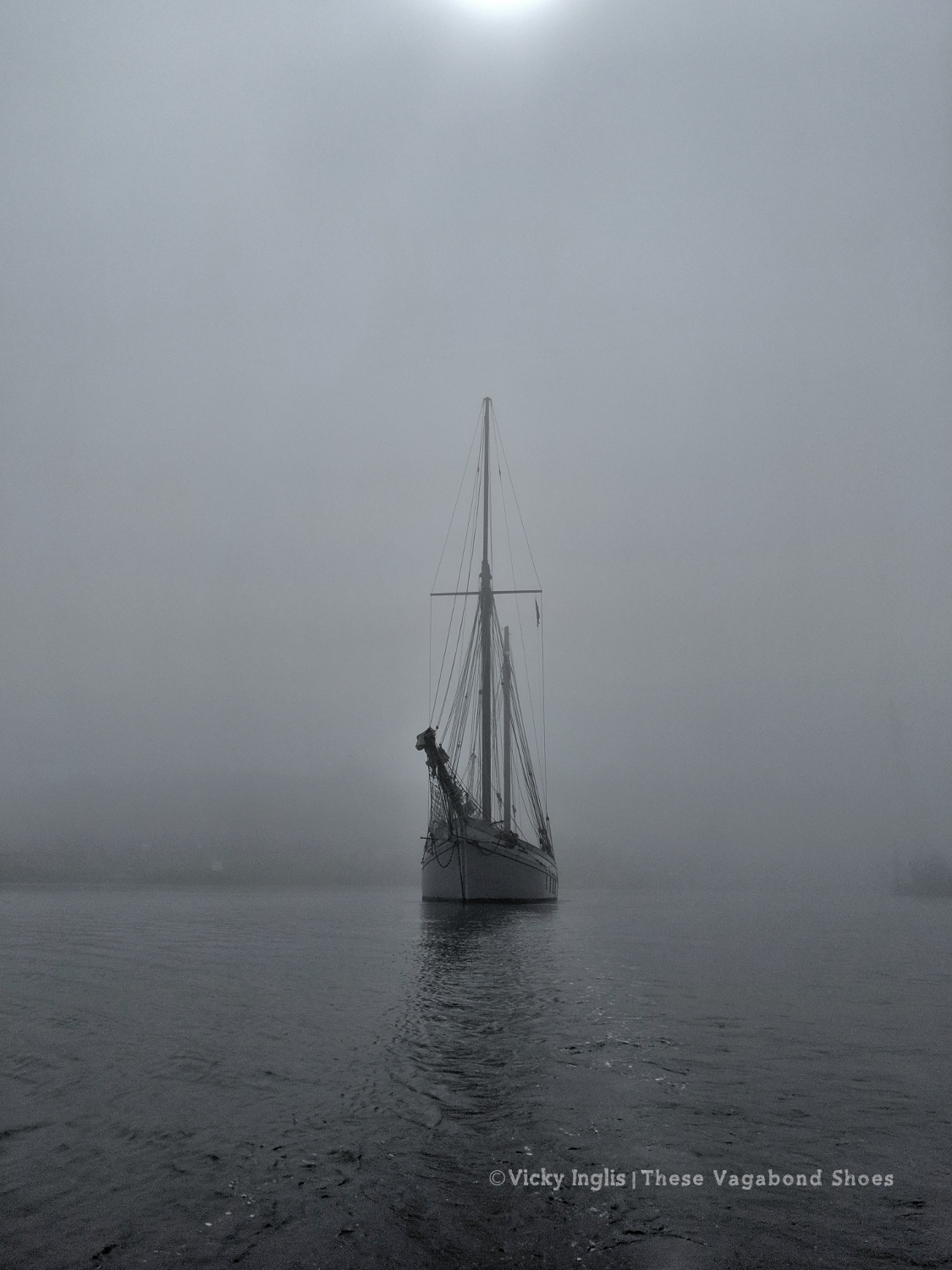
At the beginning of April, I moved south to Devon, to start work as part of the crew of the traditional sailing ketch Irene of Bridgwater. We spent the first part of the season based out of Dartmouth, visiting the nearby ports of Brixham and Salcombe regularly, with a one-off trip to Weymouth, where we disappeared into the fog. Taking the lookout on the bow with only around 20 metres visibility, in a 38 metre (124′) ship, is one of the most nerve-wracking things I’ve done.
Leading the way out of Weymouth harbour in the fog in the tender, with Irene following close behind.
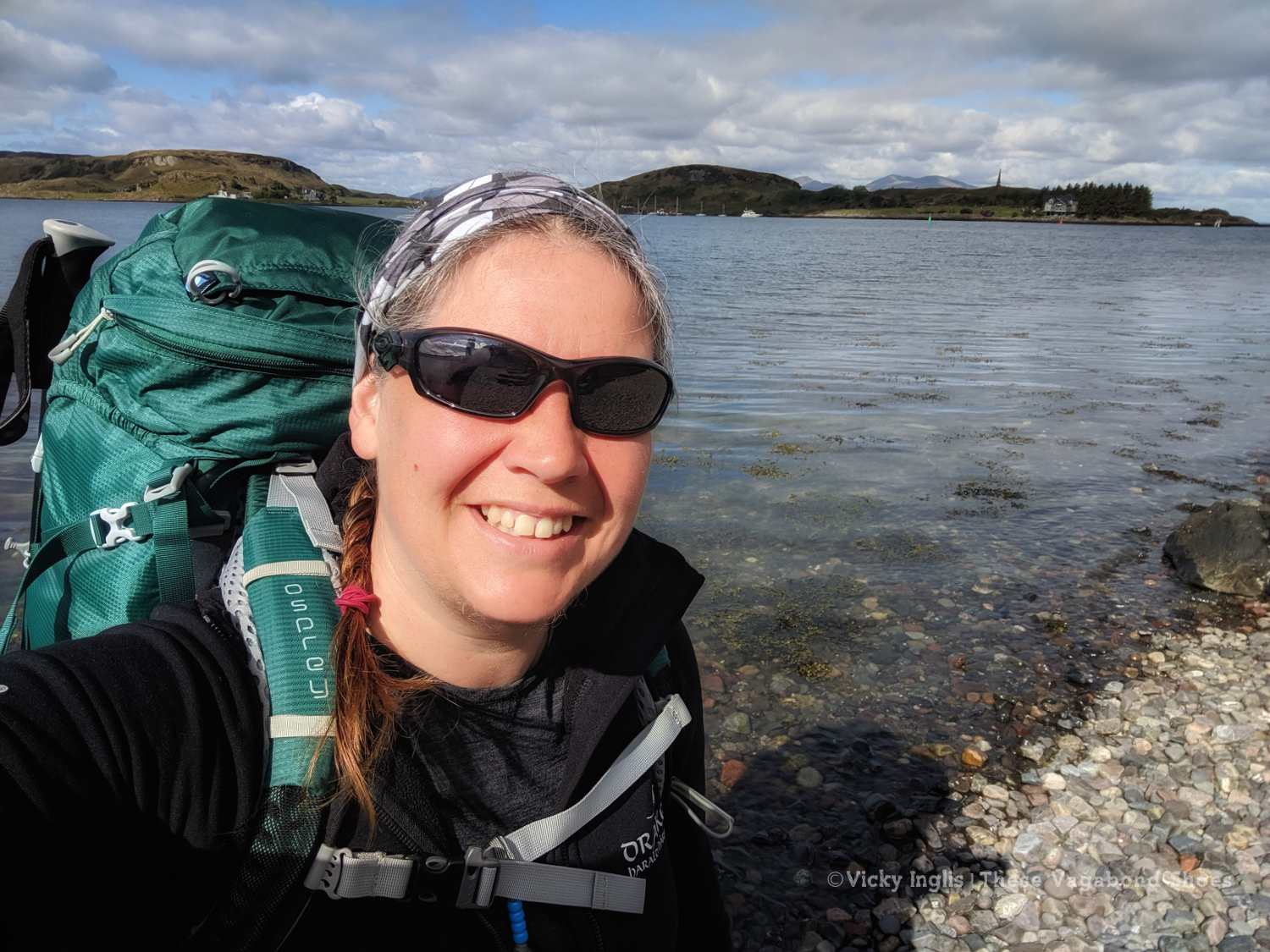
If you ever plan to visit Dartmouth, be aware that it’s much easier to reach with a boat than on public transport or even by car. As soon as my leave began in May, it was a rush to head north. I had to pick up my backpacking kit and make my way to Oban, the starting point I’d chosen for the TGO Challenge.
A glorious day to go for a walk. Starting the TGO Challenge in Oban on the 11th of May.
After the previous day’s attempt to make any kind of distance was a failure, I mentally reset myself ready for the last few days walking with a night at home; hot shower, real food, and good night’s sleep in a real bed. In the morning I returned to Clova feeling much more sparky than I had the previous day.
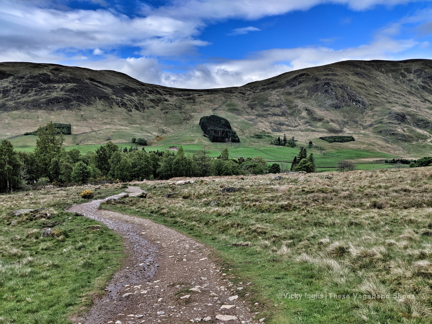
Heading into the hills behind Clova. Are the blue skies going to stay today?
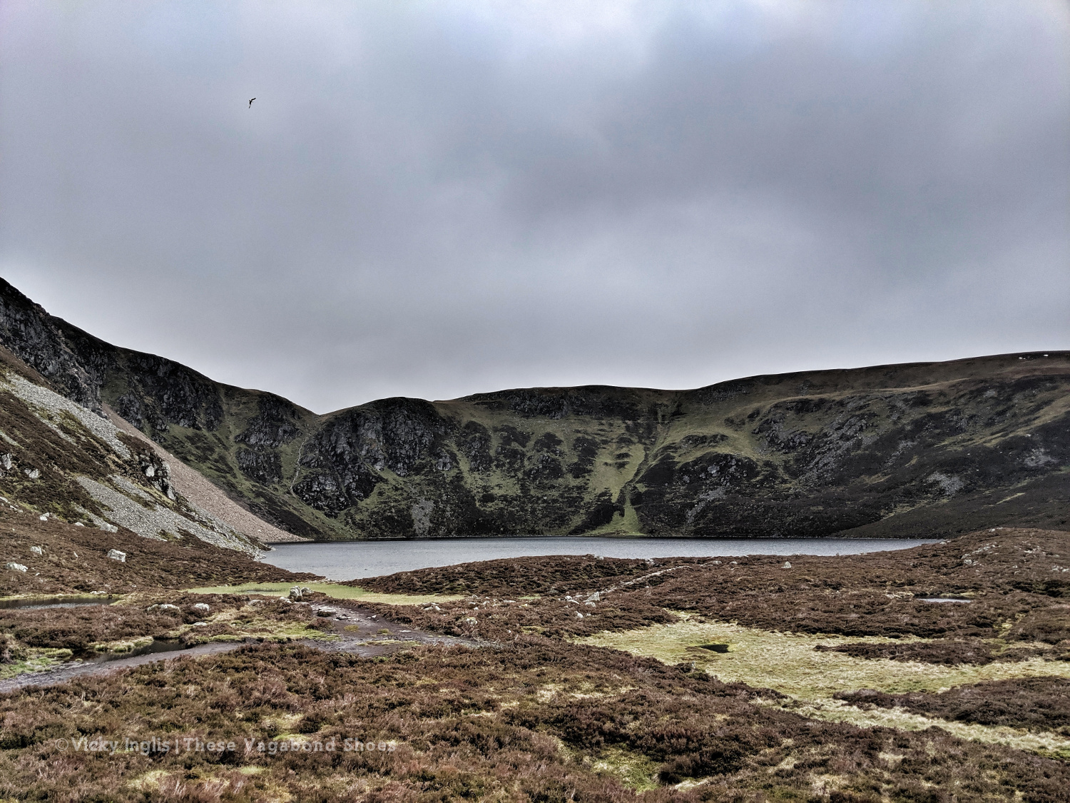
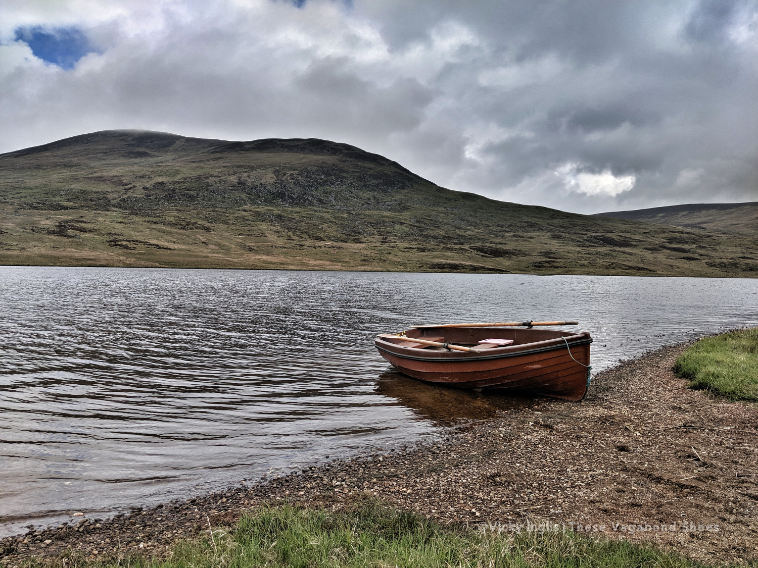
Loch Brandy, tucked neatly into a corrie above Clova, like the illustration in a geography textbook.
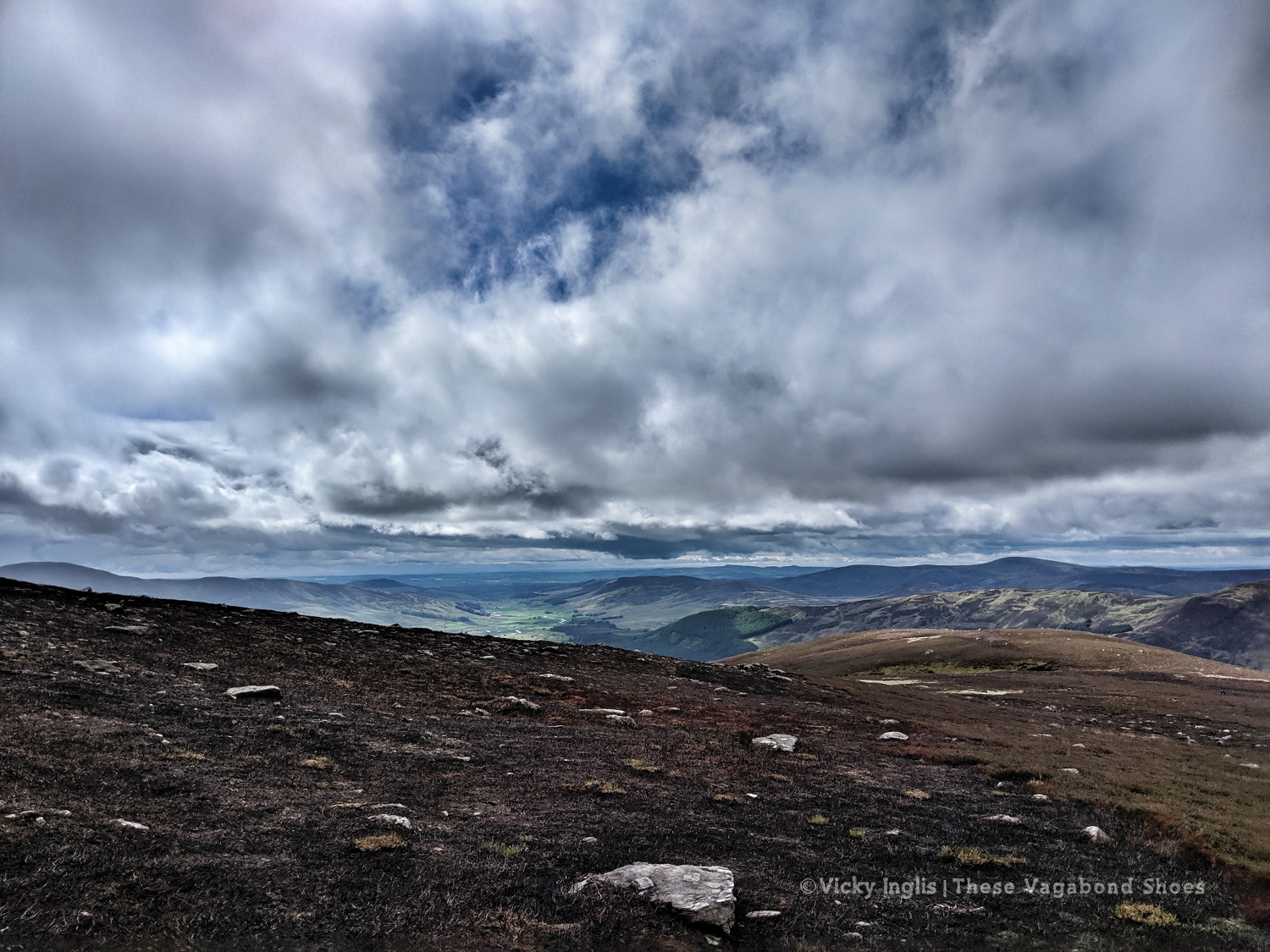
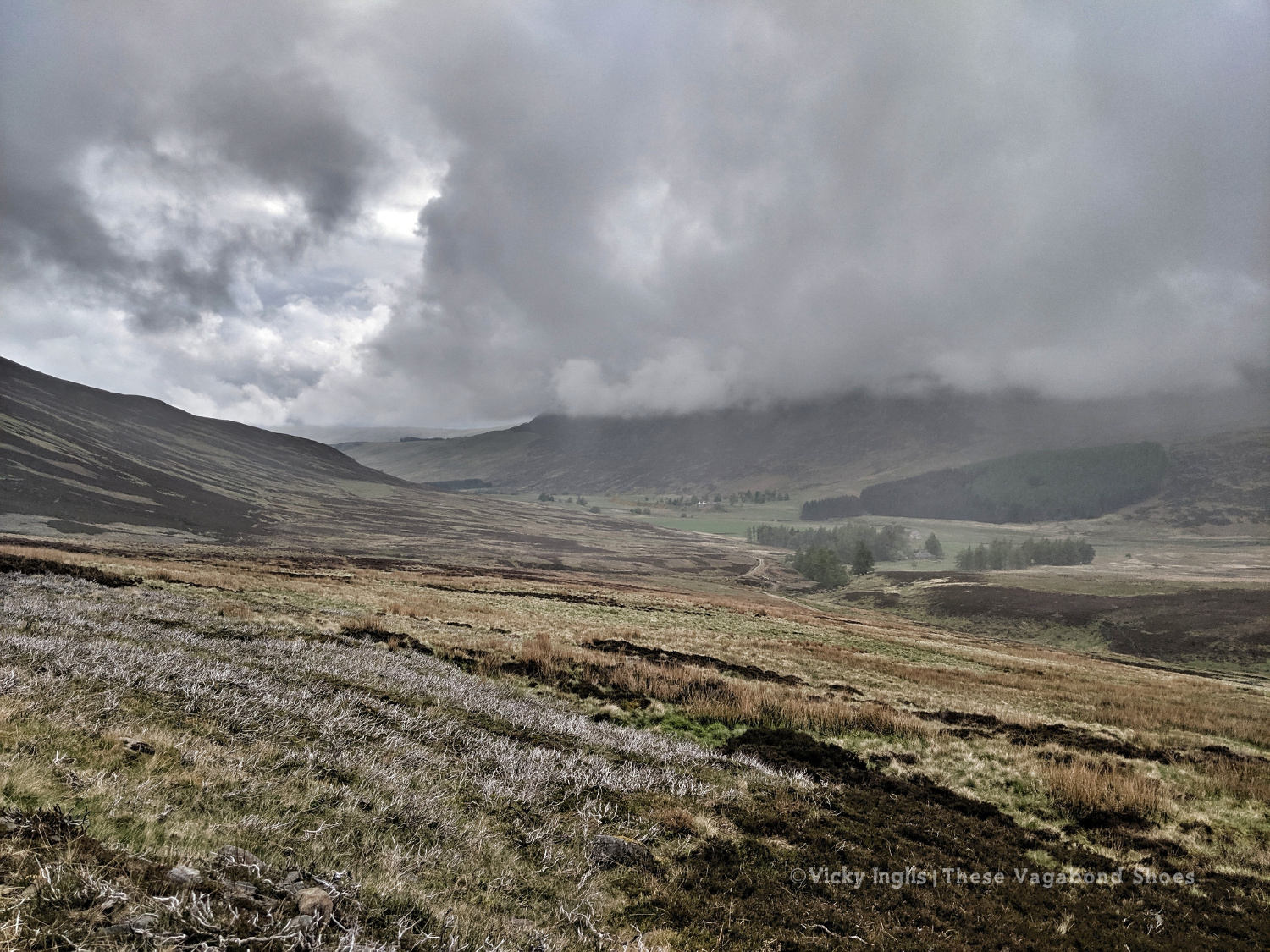
Looking eastward down Glen Clova from Green Hill.
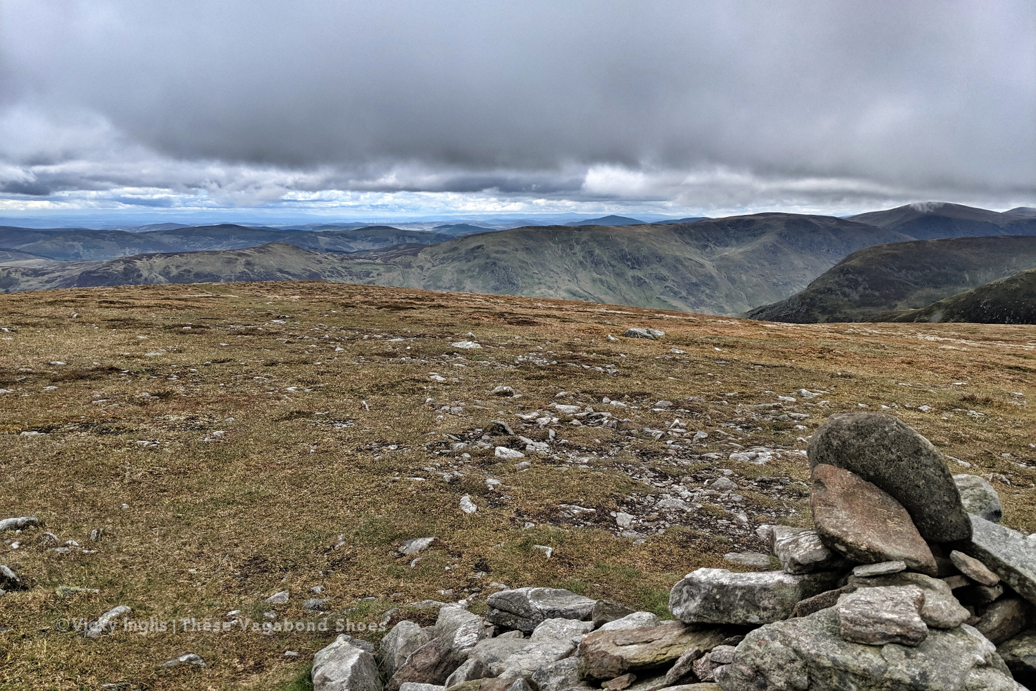
The moderately-sized cairn on Muckle Cairn.
It turned out to be a good thing; putting myself a day behind my planned schedule for the Challenge meant I actually met up with more challengers than I would’ve otherwise. I met a few on the track from Clova up to Loch Brandy, then picked up a walking buddy having navigation difficulties to cross the hills down to Inchgrundle and the end of Loch Lee.
Crossing falls and fords on the descent into Glen Lee.
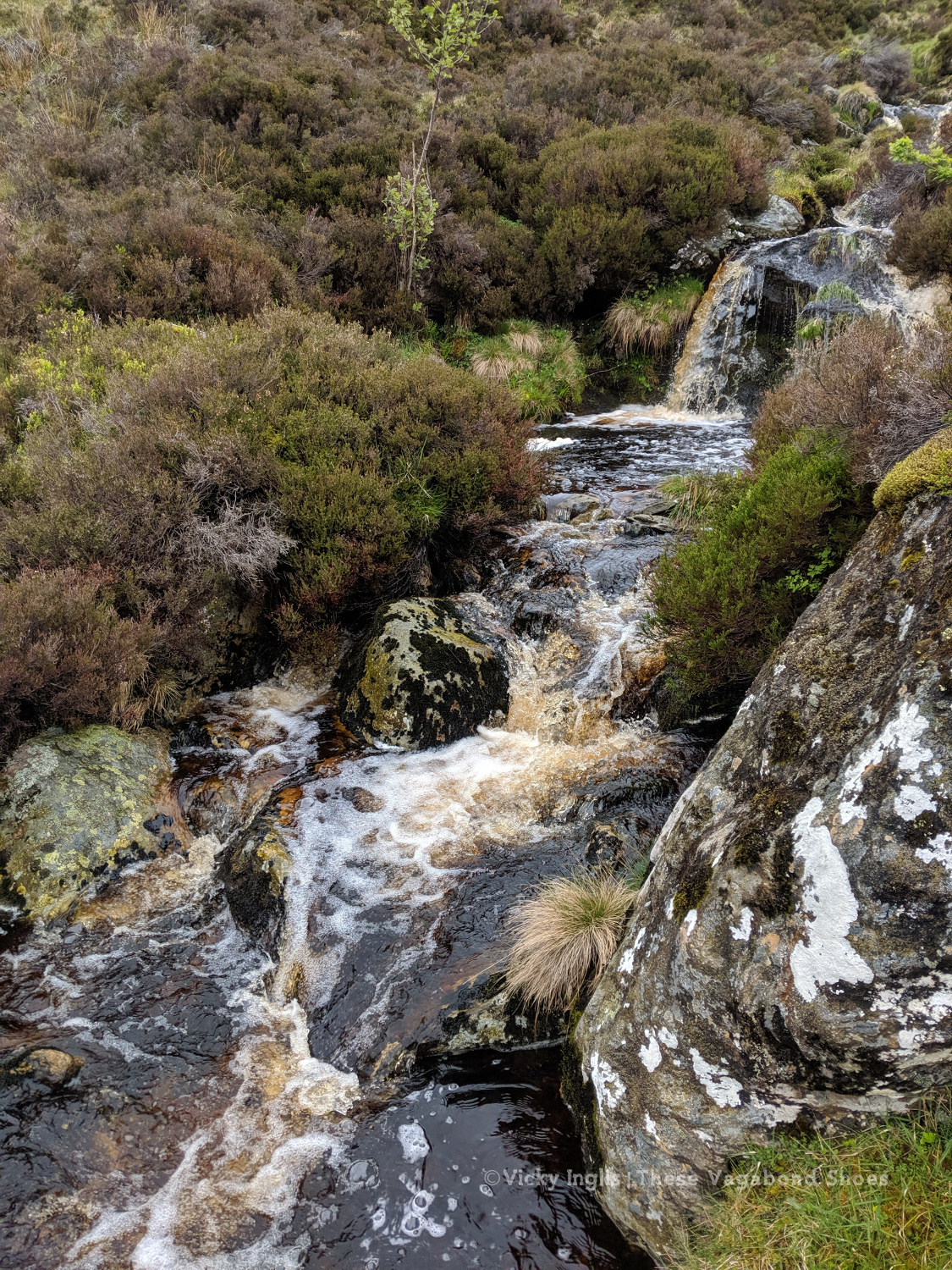
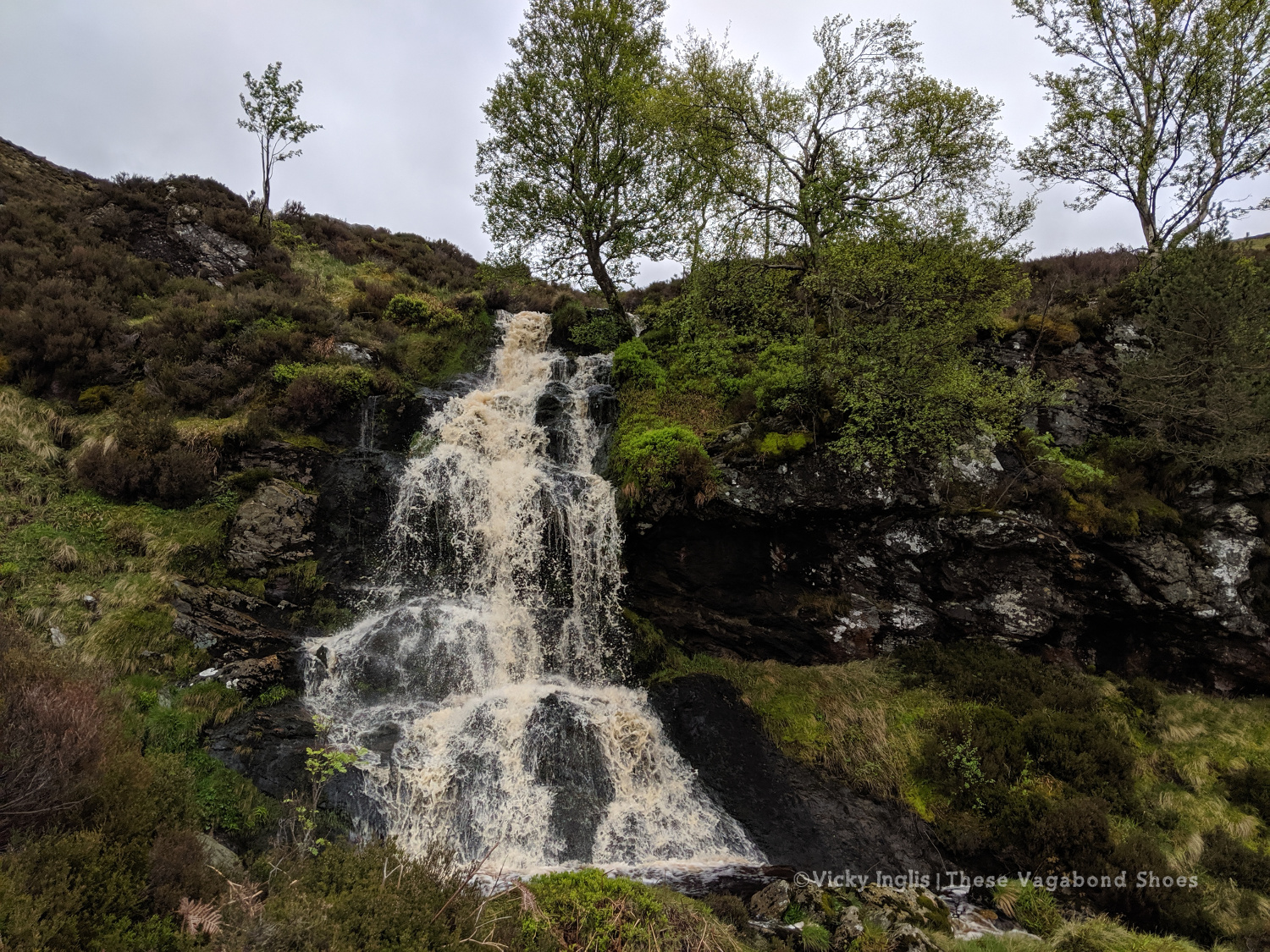
Waterfall on the Burn of Tarsen.
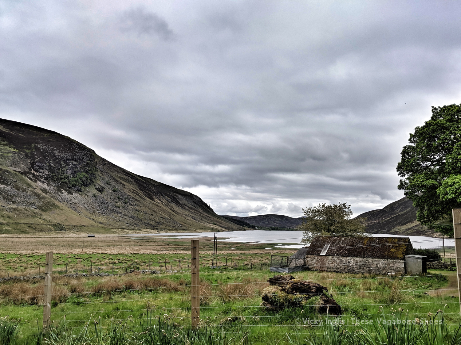
Inchgrundle, at the western end of Loch Lee.
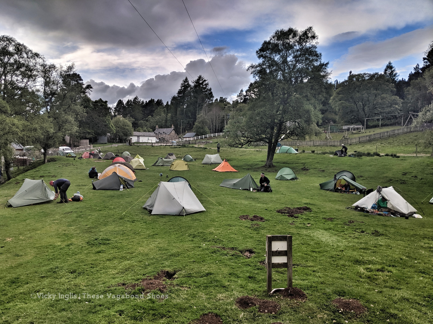
The well-trodden route from Clova to Tarfside is always busiest on the second Tuesday of the TGO, along with the other routes that converge into Glen Esk. It was also walking familiar very ground for me, bringing back memories of Duke of Edinburgh expeditions, walks on school trips, and camps with the Guides.
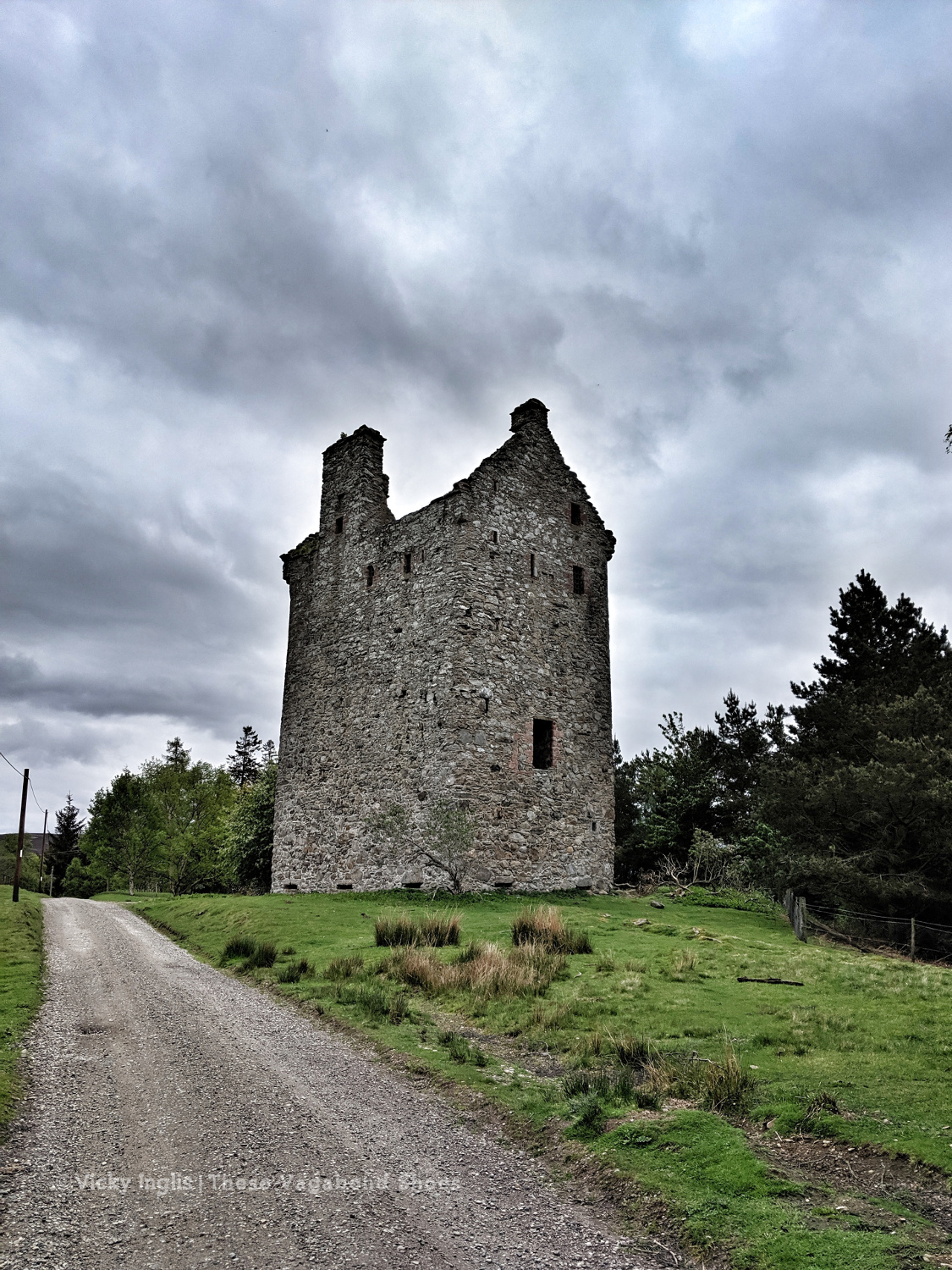
Invermark Castle.
Tracks around the Hill of Rowan.
Almost in Tarfside
After walking much of my route on my own, meeting up with friends at various points along the route, it was a little bit of a shock to the system to be amongst so many people in Tarfside. But it also showed me that one of the real highlights of the event is the other challengers that you meet on the way as you become part of the extended TGO Challenge family.
Tarfside tent city.
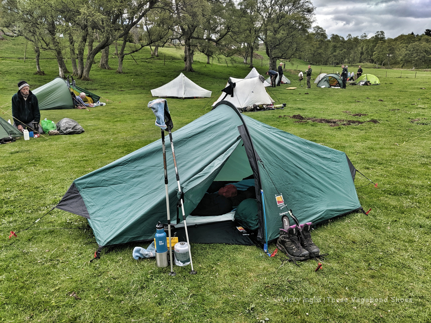
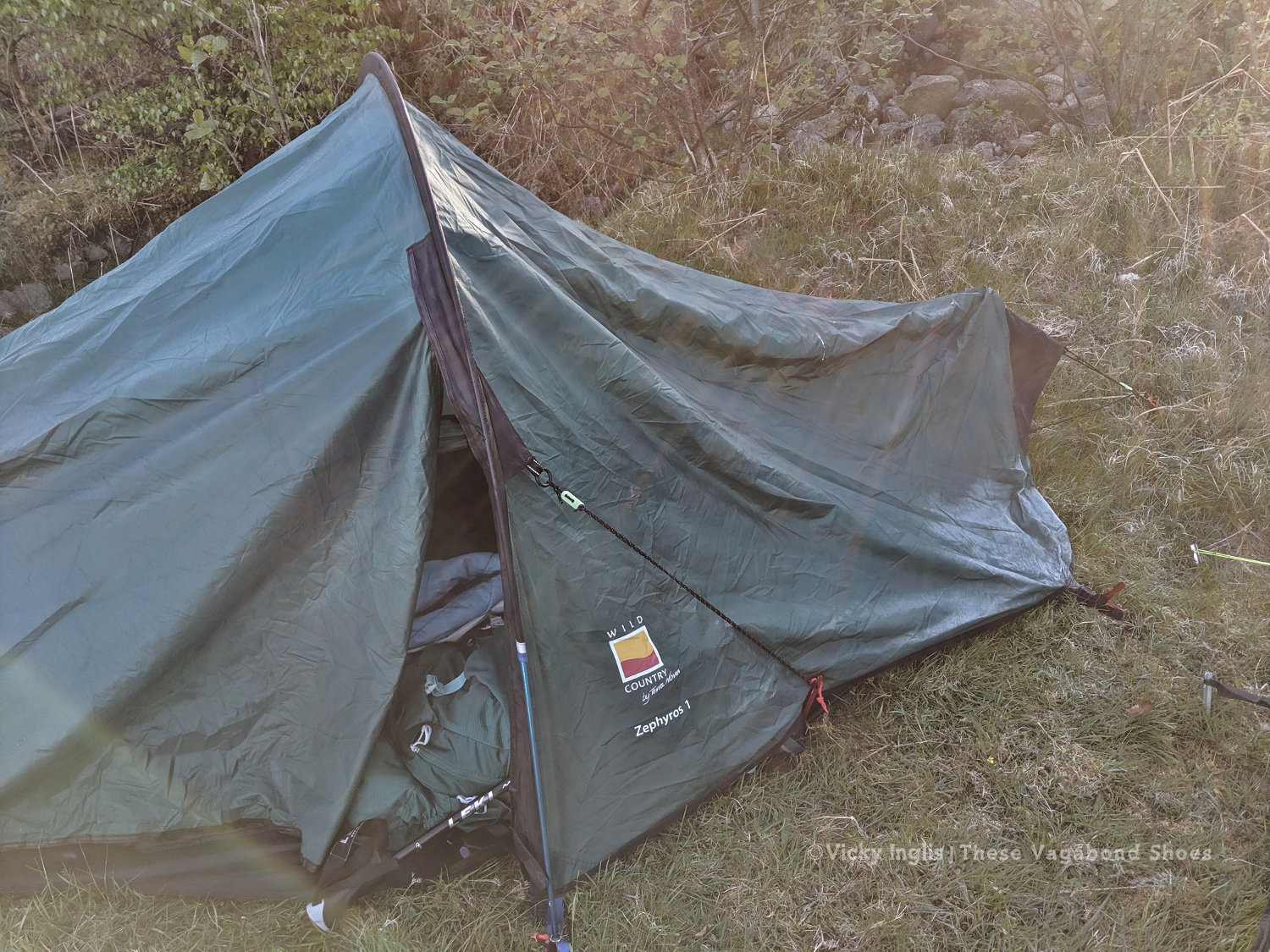
The pitching is starting to look better. Much less saggy. Still not in love with this tent though.
Wednesday 22/5
TGO Day 10: Tarfside to Garvock viewpoint
Distance: 33km
After an excellent night in Tarfside in the company of other challengers, I was back walking on my own again for most of the day. Everyone else seemed to be heading in the direction of Edzell and Northwaterbridge, but to reach my finish point at home at the Haughs of Benholm, I had to find a more northerly route and struck out over the hills to Fettercairn.
The Modlach tower near Auchentoul in Glen Esk.
Moody skies on the way through Glen Esk. Short, sharp showers through the morning, but the promise of sunshine later in the day.
Safety third. Creative ways to cross the burns #2
Looking across to Mount Battock, Clachnaben looking like a surfacing porpoise at the eastern end of the ridgeline.
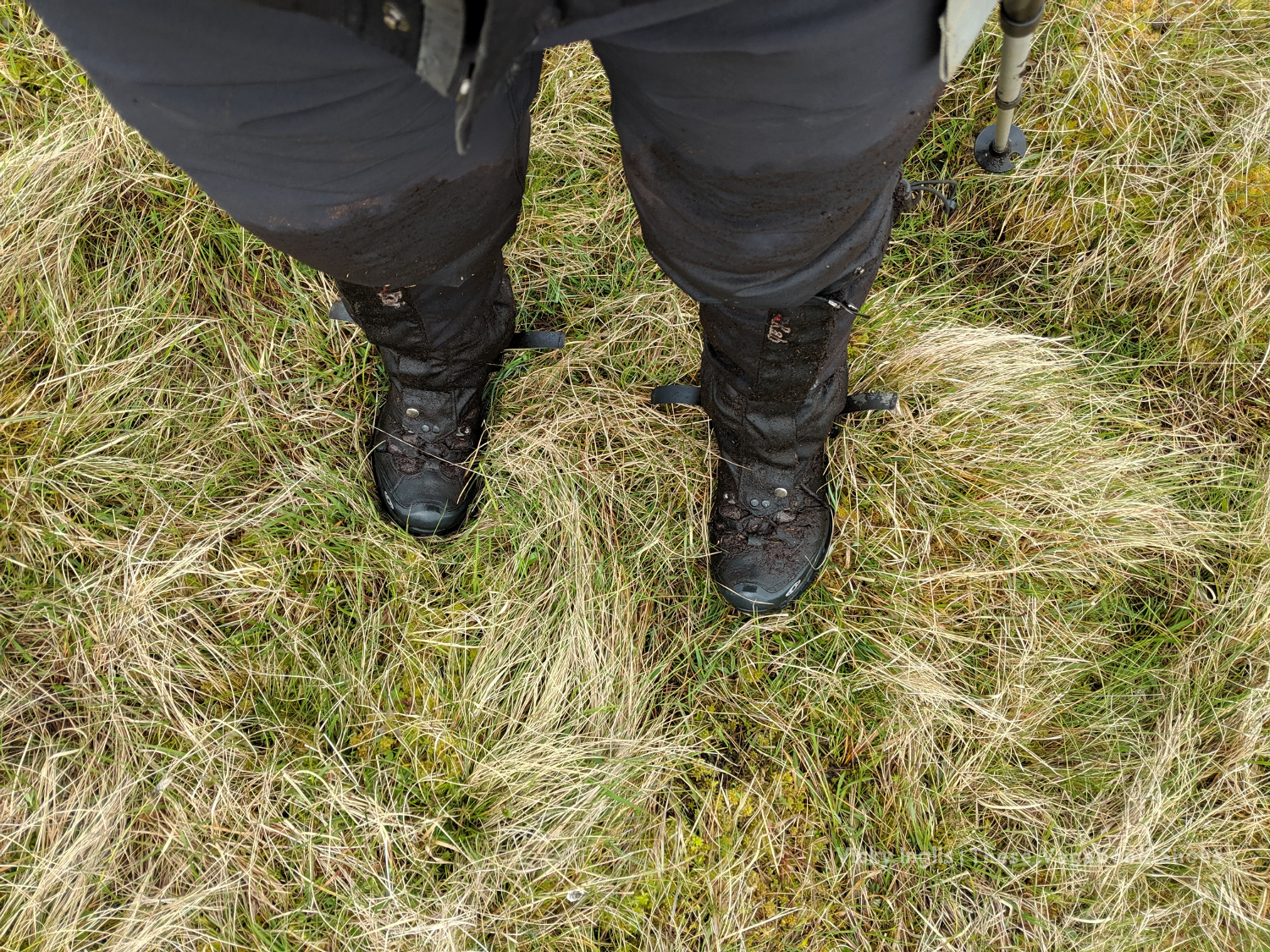
I quickly discovered why few others took this route, after running out of hill tracks on Craigangowan and wandering into a huge bog cut with peat hags, and crossed by a deer fence. I waded, crawled, fell, and slithered for what was possibly only just a couple of kilometres, but it took me well over an hour (definitely due to walking conditions, not the hangover) to rejoin the hill tracks around Sturdy Hill.
How deep is this bog? At least to mid-thigh.
Sturdy Hill after what seemed like hours. So glad to be back on a hill track.
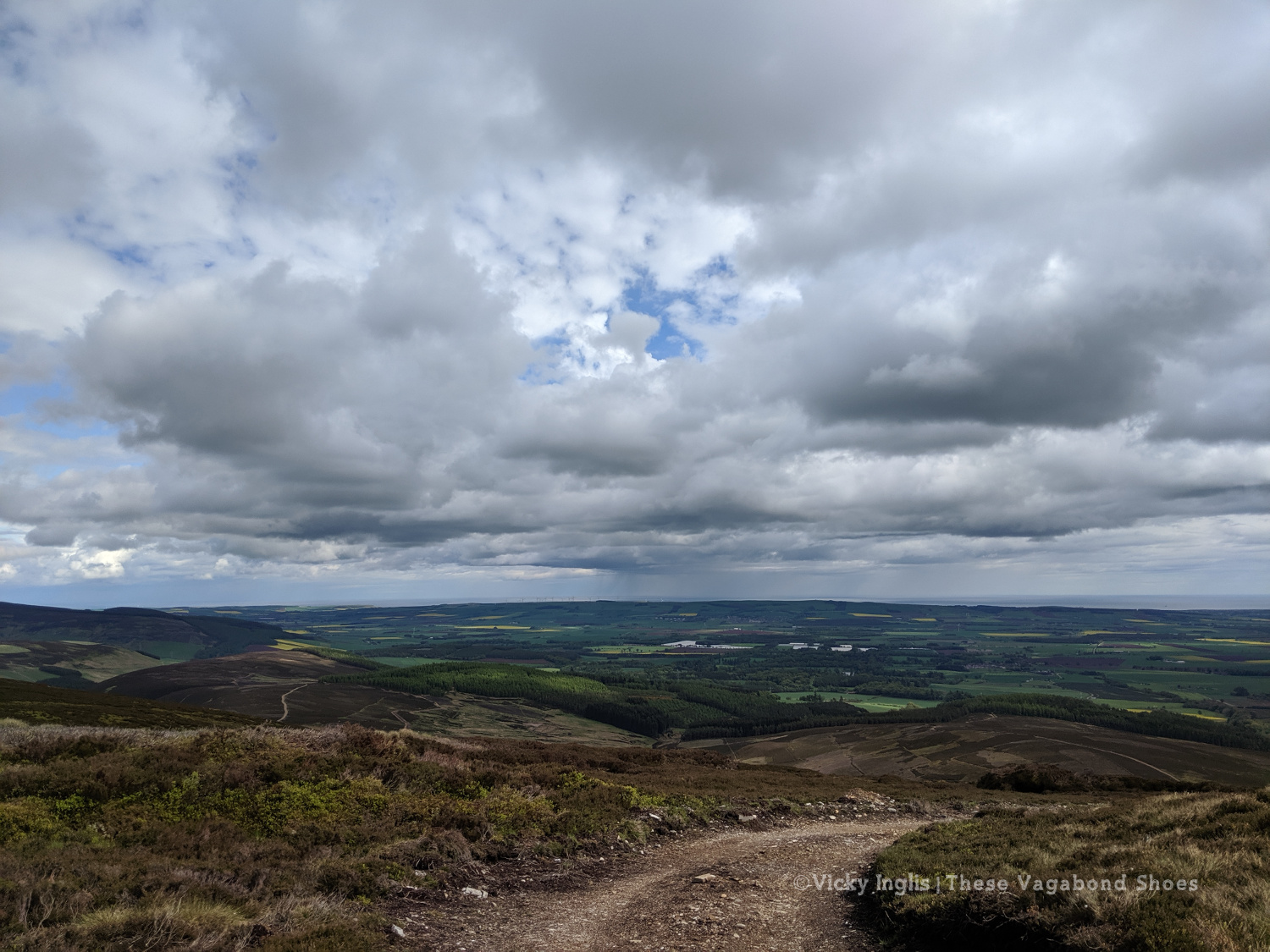
First glimpses of the North Sea on the horizon. Not long to go to the end.
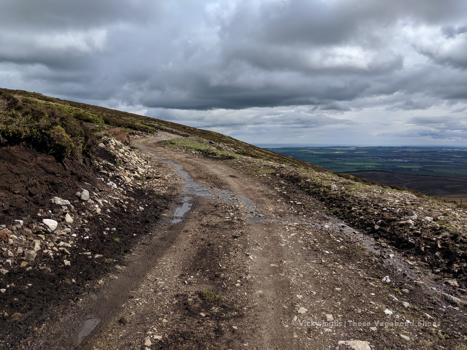
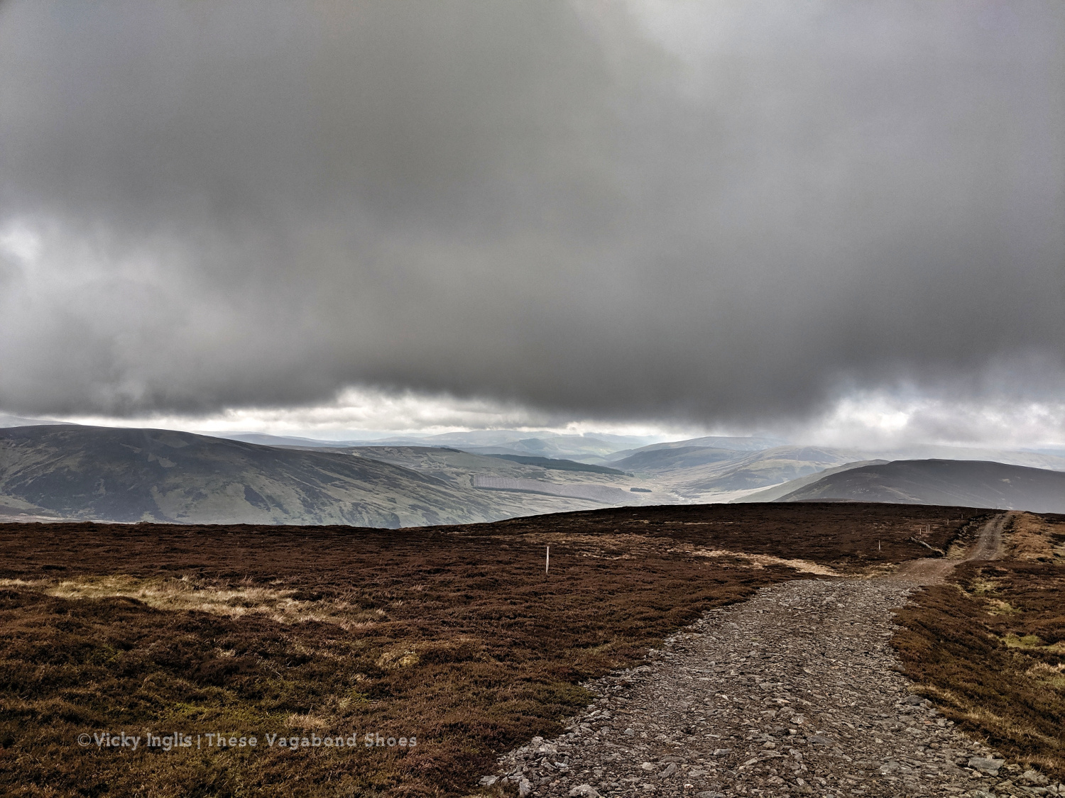
Once back on the road, after a coffee break in Fettercairn, I pushed on as far as I could keep going for, with less than 45 km to end up at home, knowing I’d be able to take the following day to recover. But as the day wore on I got slower and slower, plodding on up the hill before grinding to a halt and stopping for the night at the Garvock viewpoint. Completely tired out, but really pleased with the effort for the day. A distance of 33km covered, and just over 10km left to go to the end of the TGO Challenge.
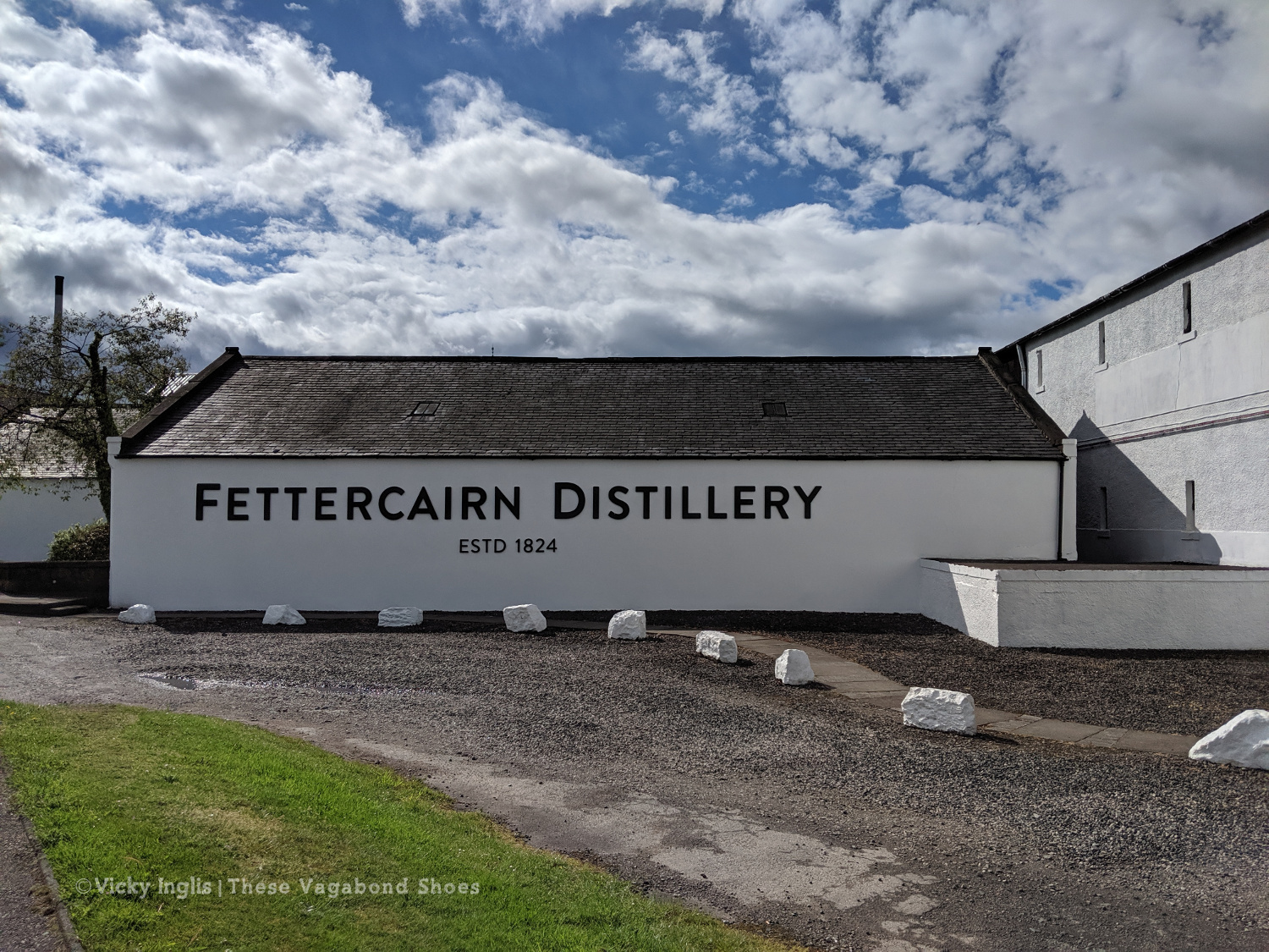
Fettercairn Distillery, on the edge of the village. Starting to feel close to home.
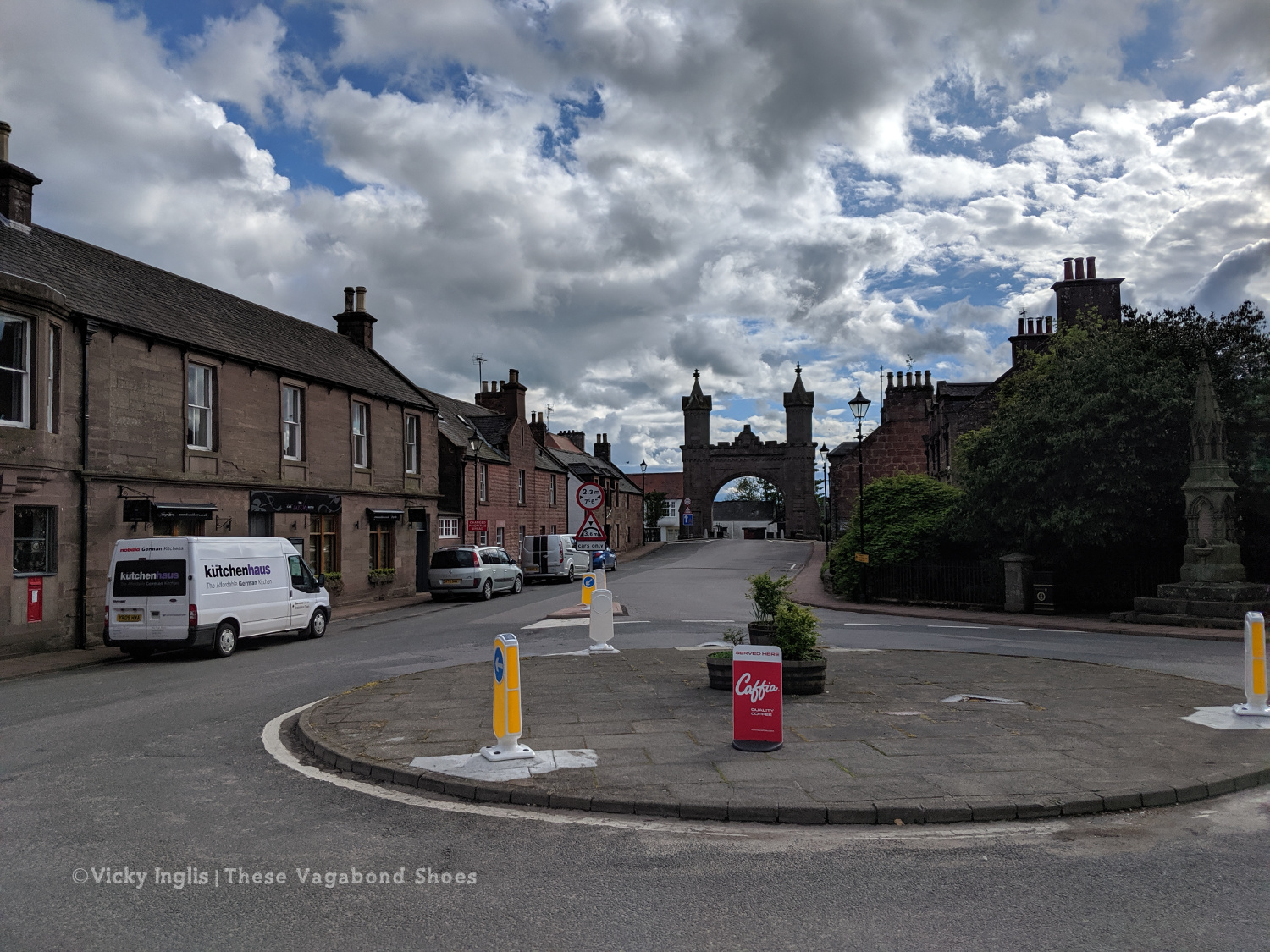
The Royal Arch in Fettercairn.
Road walking towards Laurencekirk.
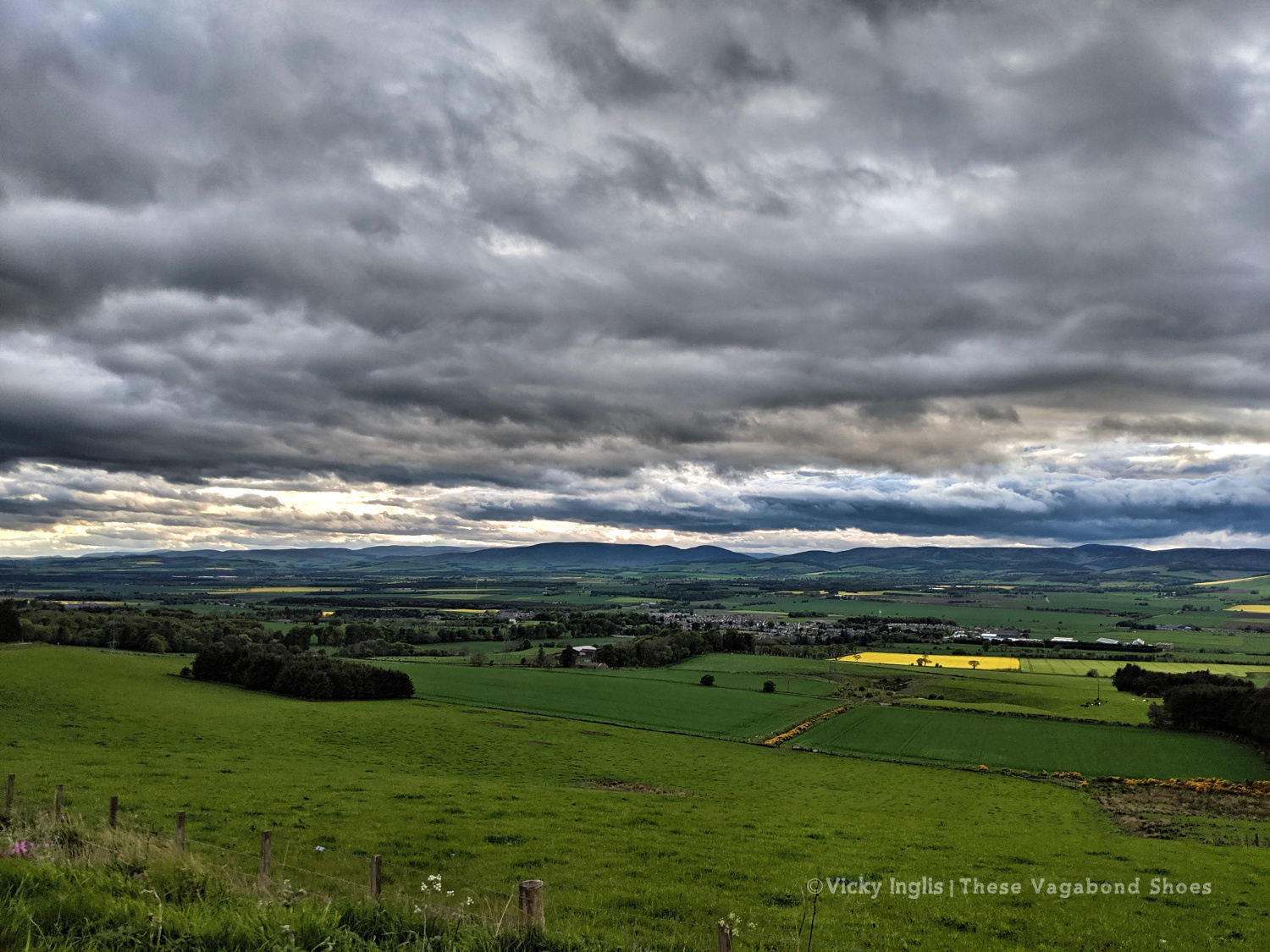
Looking back across the Howe of the Mearn towards the Angus hills from the Garvock viewpoint.
Thursday 23/5
TGO Day 11: Garvock viewpoint to Haughs of Benholm
Distance: 10.5km
The final day! Just a short distance to finish my TGO Challenge, after the huge effort I put in the day before. It’s only around 10km from Garvock hill to my home at the Haughs of Benholm, and after starting fairly late, I was all done and dusted by 10am. It wasn’t the best route choice, as to avoid lots of road walking I decided to cross a few fields
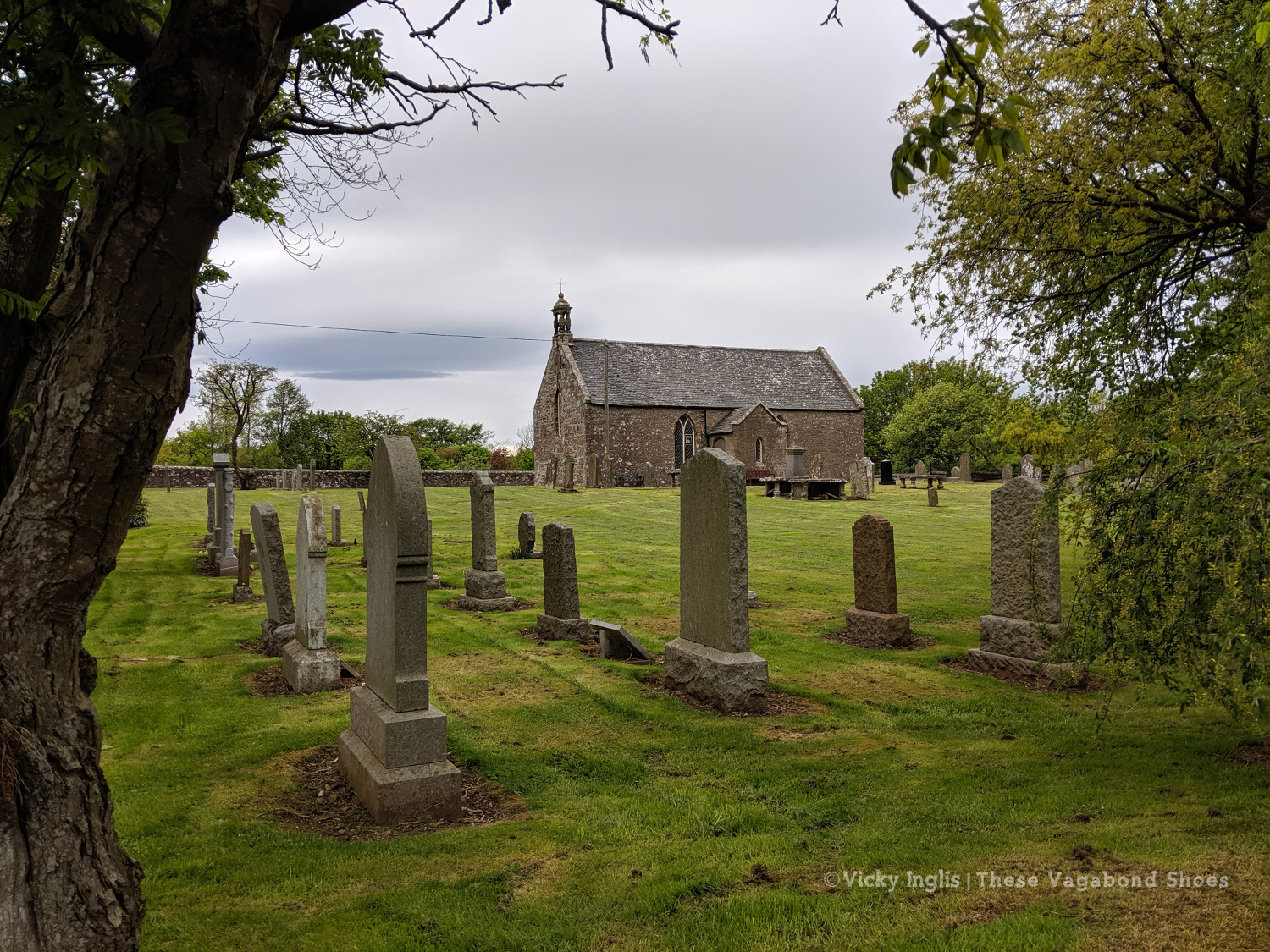
The old kirk at Garvock.
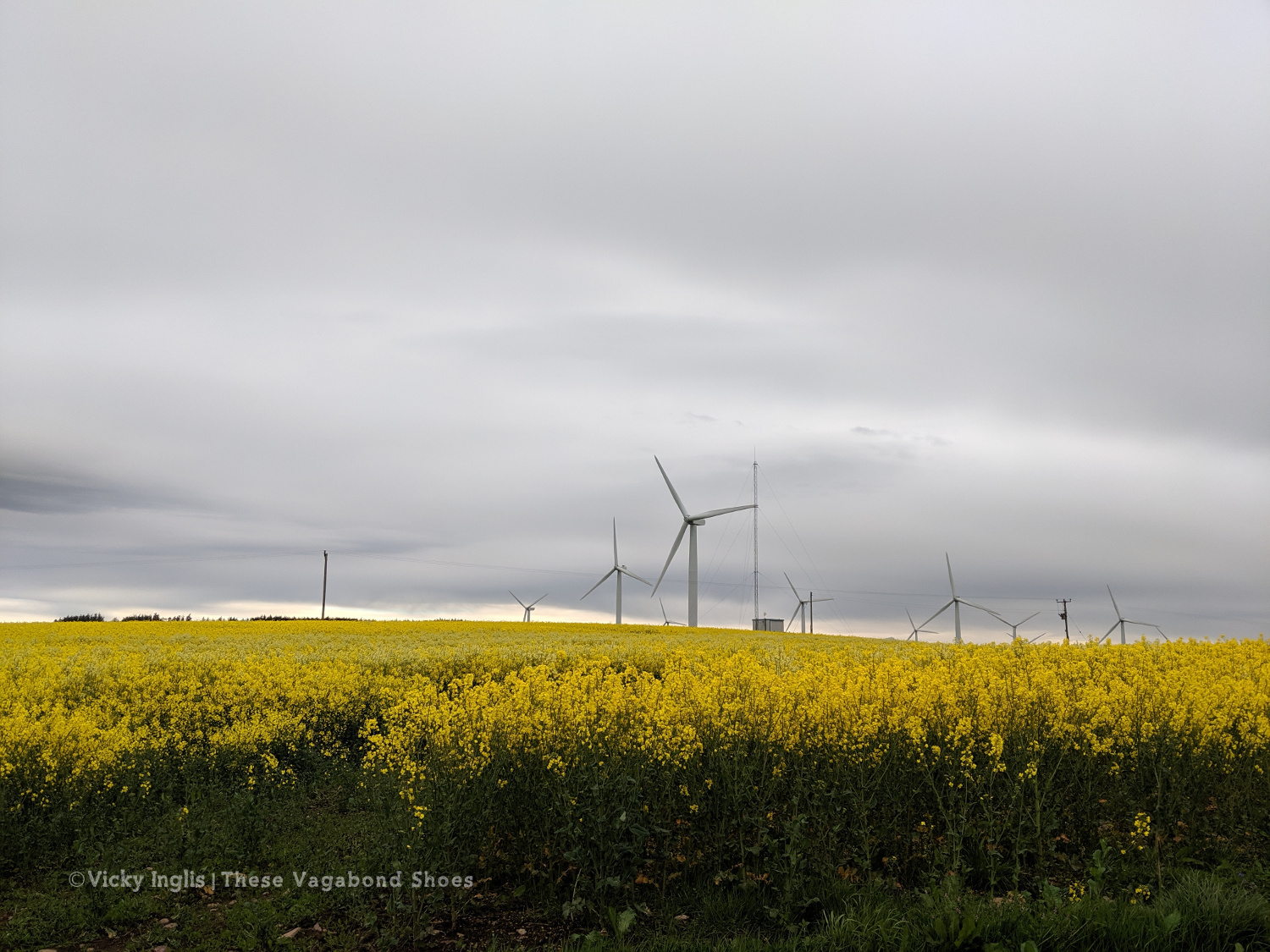
Tullo Hill windfarm and the usual yellow fields of springtime in the Mearns.
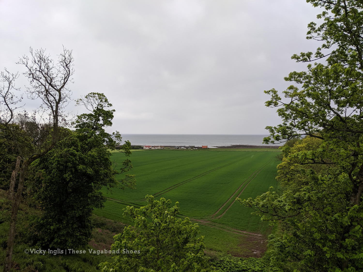
The Haughs of Benholm viewed from the road bridge. Just a kilometre more to go!
My Mam put out a finishing line on the drive, and after dropping my backpack I left an order for a bacon butty and cup of tea, and went to dip my toes in the North Sea to make an official finish. Unfortunately, my arrival had coincided with the low tide, so rather than scramble over the shingle and seaweed covered rocks to reach the water’s edge, I settled for a paddle in a rock pool, and decided the sea could wait until I’d had breakfast.
Crossing the finish line at the end of the Challenge
On the way to the sea, before decinding theat the sea could come to me.
Dipping my toes in a convenient rockpool.
My 2019 TGO Challenge Stats
Total distance walked: 269km (167 miles)
Total distance walked in flipflops: 12km (7.5 miles)
Total distance crawled: 2km (1.25 miles)
Times that I cried: 3
The highest point of my route: Schiehallion summit, 1,083m (3,553′)
The highlight of my route: Finding a beautiful pool for a swim in the sunshine in a small burn on the side of Loch Etive.
Would I do this again? Absolutely!
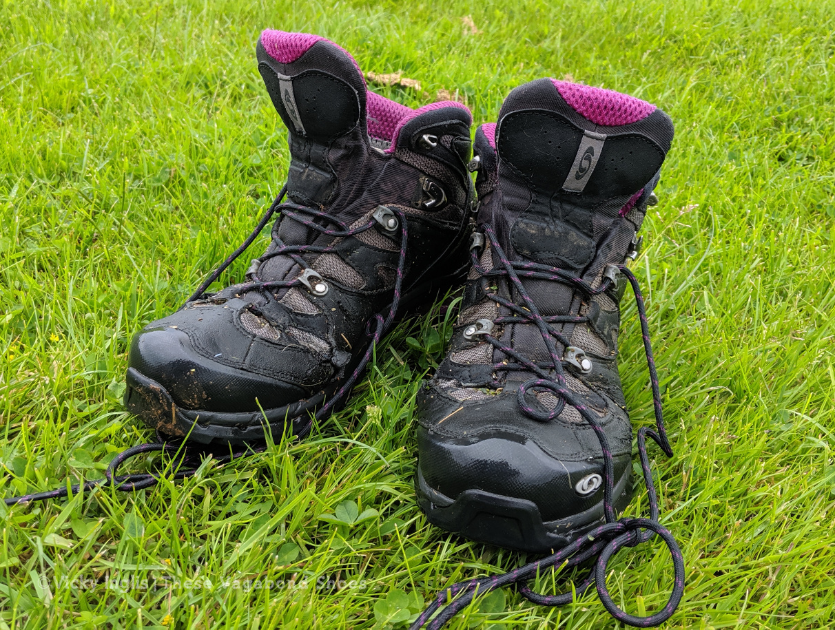
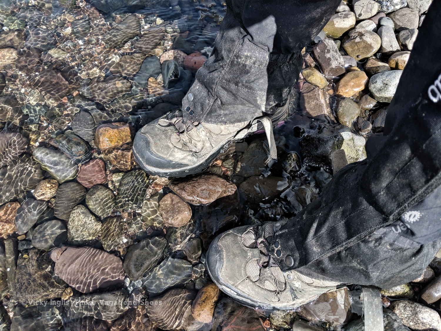
These boots were made for walking, but are ready for retirement.
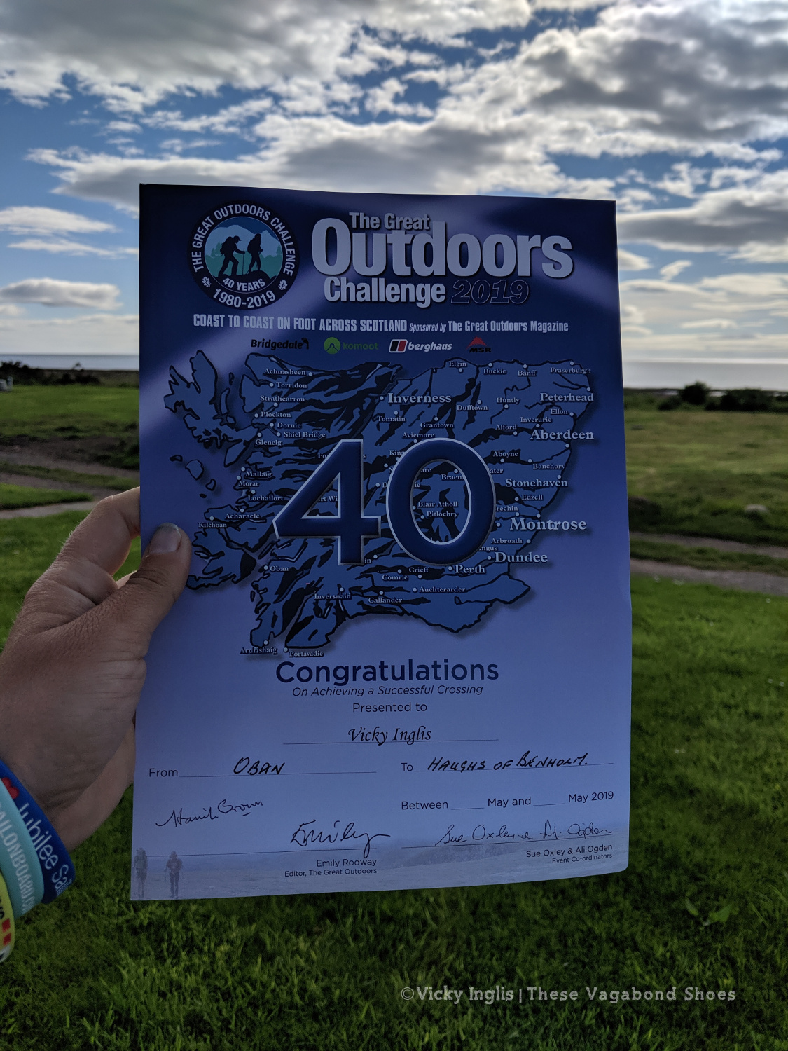
The 40th TGO Challenge, and my first, complete. The first of many more certificates to come?
Read the previous instalment of my 2019 TGO journal here, and find out more about the Challenge in this post.
After one too many days of fine weather and lots of walking with limited access to drinking water, little shade, and no sunblock, I was done. I’d scheduled a rest day with friends once I reached Pitlochry, so I switched it around to have a day out of the sun to recover and called for a lift.
The original inspiration for the TGO Challenge; Scotland Coast to Coast by Hamish Brown
Not a lightweight backpacker.
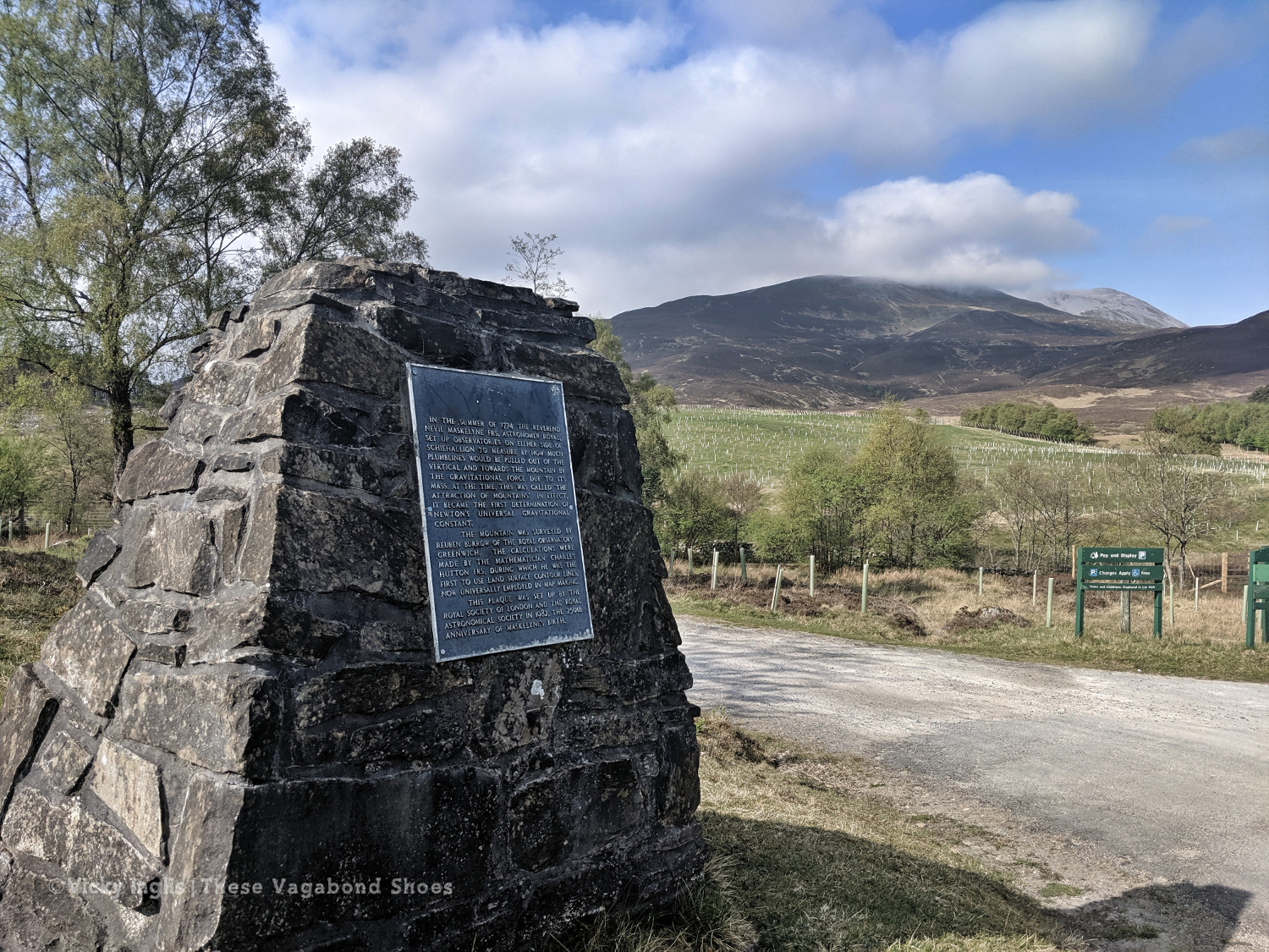
The Maskylene plaque at Braes of Foss commemorating the Schiehallion Experiment
A shower! Clean laundry! Ice cream! No heatstroke! It was wonderful. I treated myself to a pair of shorts and the factor 50 sunblock my pale Celtic skin needed to continue walking in the sunshine the next day, as despite not being the most lightweight of backpacker I hadn’t packed either of those things. I also found a brilliant secondhand bookshop which had something I thought might be useful for the rest of my trek. What would Hamish Brown do?
Friday 17/5
TGO Day 6: Braes of Foss to Pitlochry
Distance: 21km
Ascent: 990m
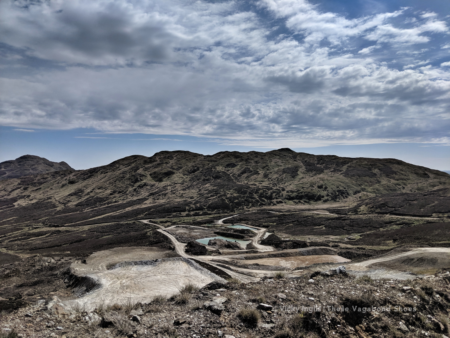
The weather had continued to be absolutely glorious, dry, warm, and sunny while I took a rest day, and I looked forward to getting back out into the hills to continue my trek. Feeling fit and refreshed I was dropped off at the point I left a couple of days ago, at the end of the access road to the bayrite mine at Foss. This time laden with abundant supplies of factor 50 sunblock.
The road leading to the mine.
The bayrite mine at Foss.
Schiehallion viewed from the top of Farragon Hill.
From Foss I headed up the track past the mine works to the tops of the Corbetts of Meall Tairneachan and Farragon Hill, bashing through the heather when the track ran out. The descent towards Strathtay was a little challenging, not least when I received a marketing call from my mobile phone provider on a steep section. I thanked them for their network coverage but suggested it wasn’t the best time to talk to them.
The way down the eastern side of Farragon Hill.
Old hill tracks on the side of Beinn Eagagach.
Lochans and bogs, oh my!
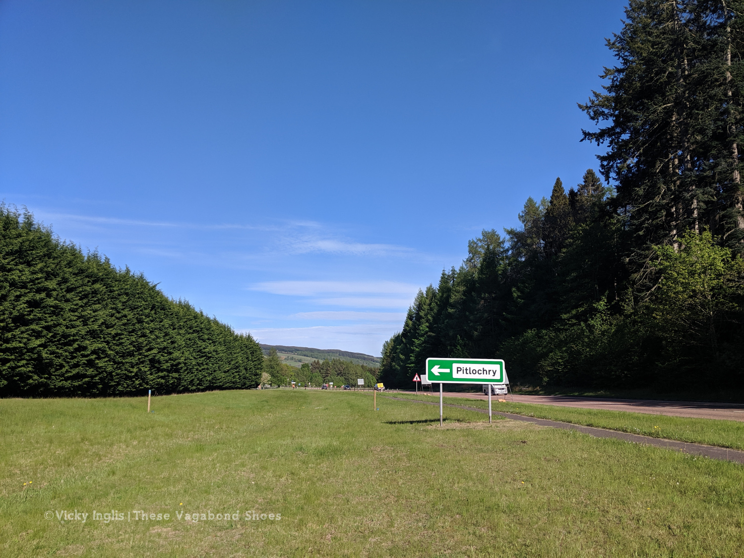
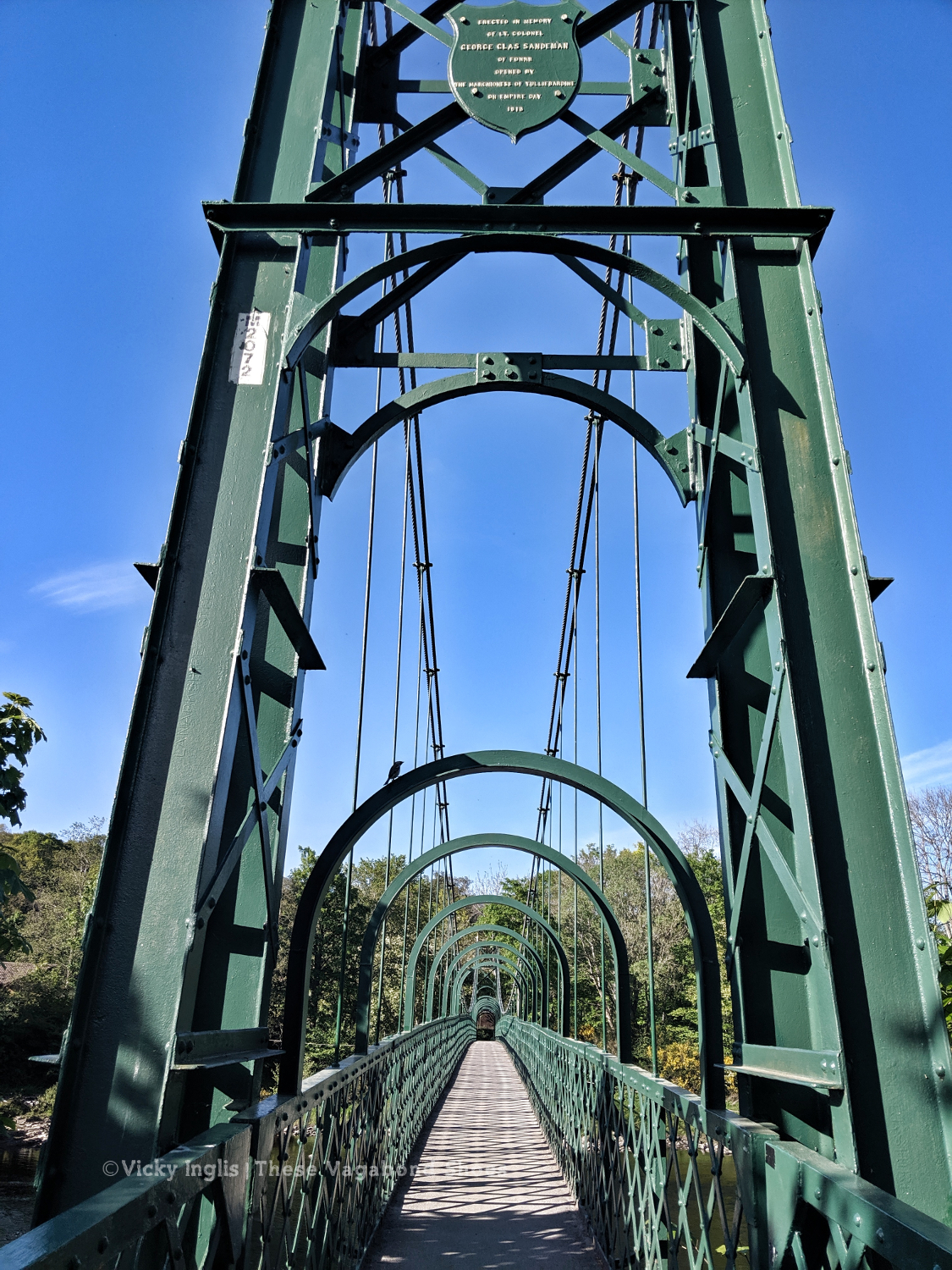
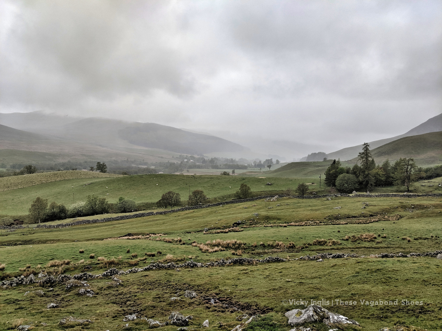
After reaching the hill track, I went around the shoulder of Beinn Eagagach, then followed the ridge of hills between Strathtummel and Strathtay. Just a little bit of bog scrambling, a lot of heather bashing, and being stalked by some deer as I went. From Clunie Woods, glad to get a bit of shade, I descended to meet the end of the Rob Roy Trail, crossed the A9 and reached Pitlochry.
The deer fence between Creag a’ Coire and Clunie Wood
Crossing the A9 with the end in sight
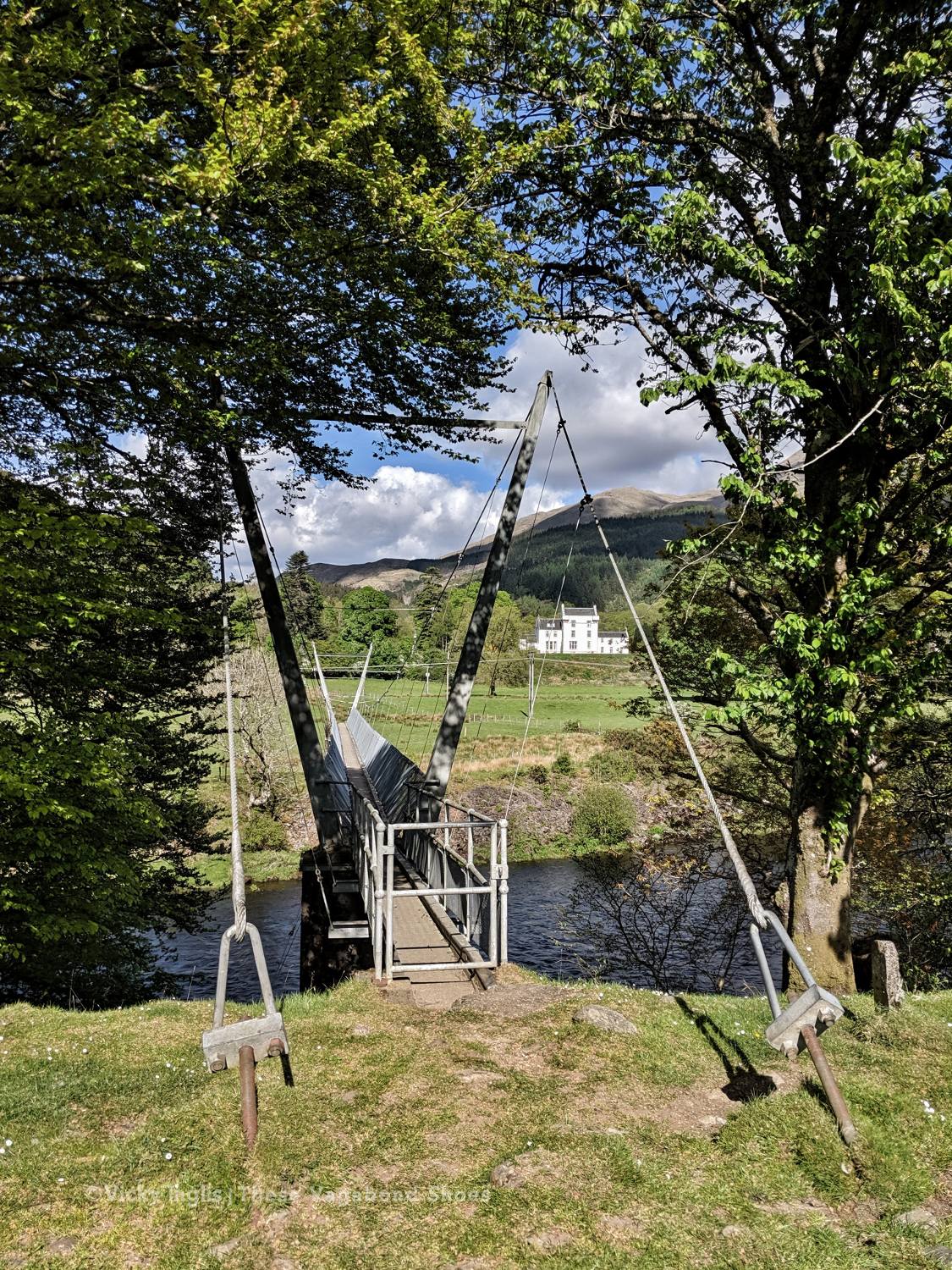
The suspension bridge over the River Tummel.
Saturday 18/5
TGO Day 7: Pitlochry to the Lunch Hut (Cateran Trail)
Distance: 22km
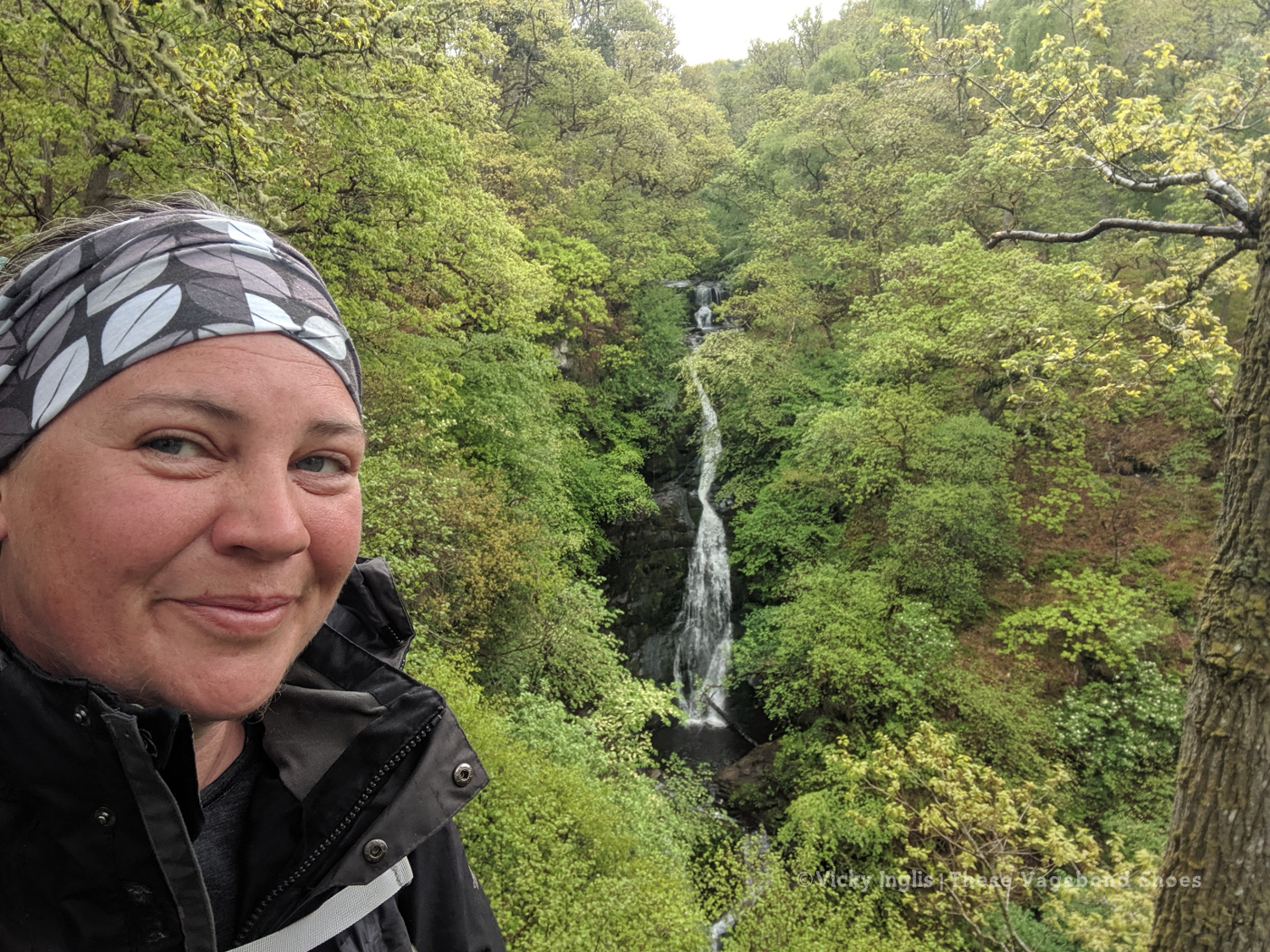
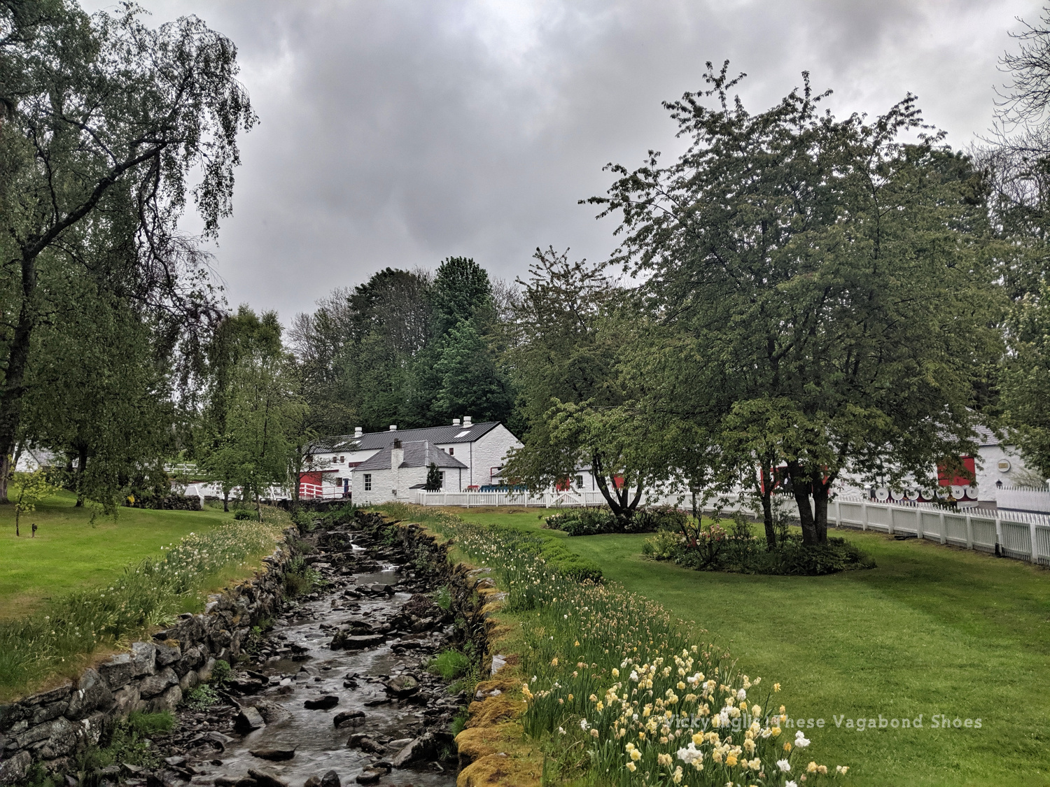
At the Black Spout, after the first rain in a week.
Edradour distillery
A last glimpse of Pitlochry.
Well, it would have been unrealistic to expect the fine weather to last for the full fortnight of the challenge. Shortly after reaching my accommodation in Pitlochry, the sky turned the colour of a bruise, and the rain thundered down through the night. So I was particularly glad I was indoors overnight and didn’t have to pack up a soaking tent before I started walking in the morning.
Swirling pollen in the puddles.
The first rain for a week washing away pine pollen.
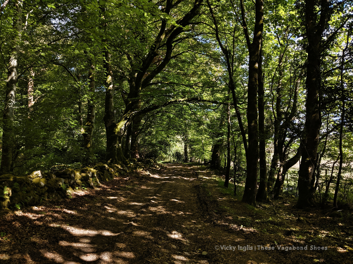
The forestry road through Pitcastle Woods
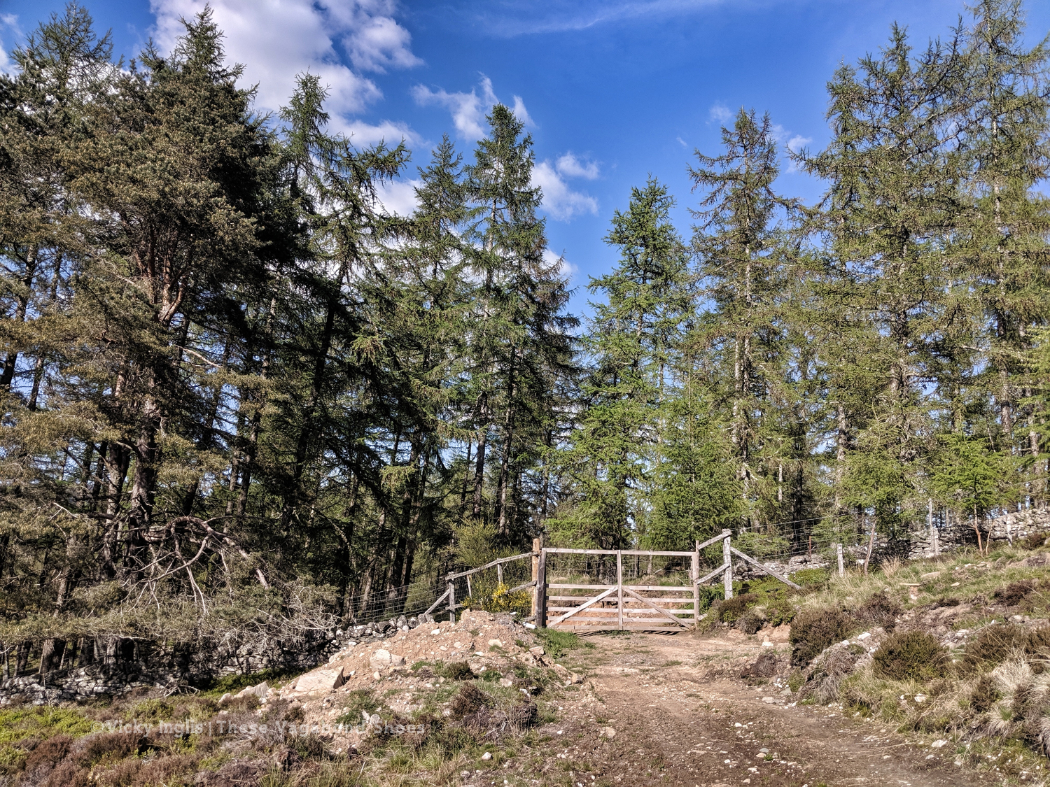
I made my way through town to the Black Spout waterfall, through the woods to Edradour Distillery. At this point my route became a little bit freestyle, crossing grazing land on the side of Tom Beithe until I entered the forest and could pick up forestry tracks. then through the forestry land to Enochdhu, climbing a few deer fences on the way. Picked up the Cateran Trail to head to the Lunch Hut bothy, where I met the first other challengers I’d seen since I’d seen the Danes taking a coffee break at Rannoch Station.
The forestry road through Kindrogan Woods
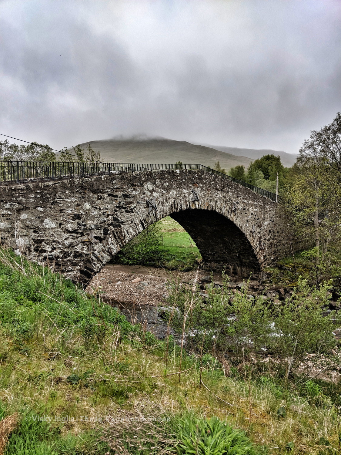
Crossing the bridge in Enochdhu
Treating myself to a fancy dinner to make up for the damp weather.
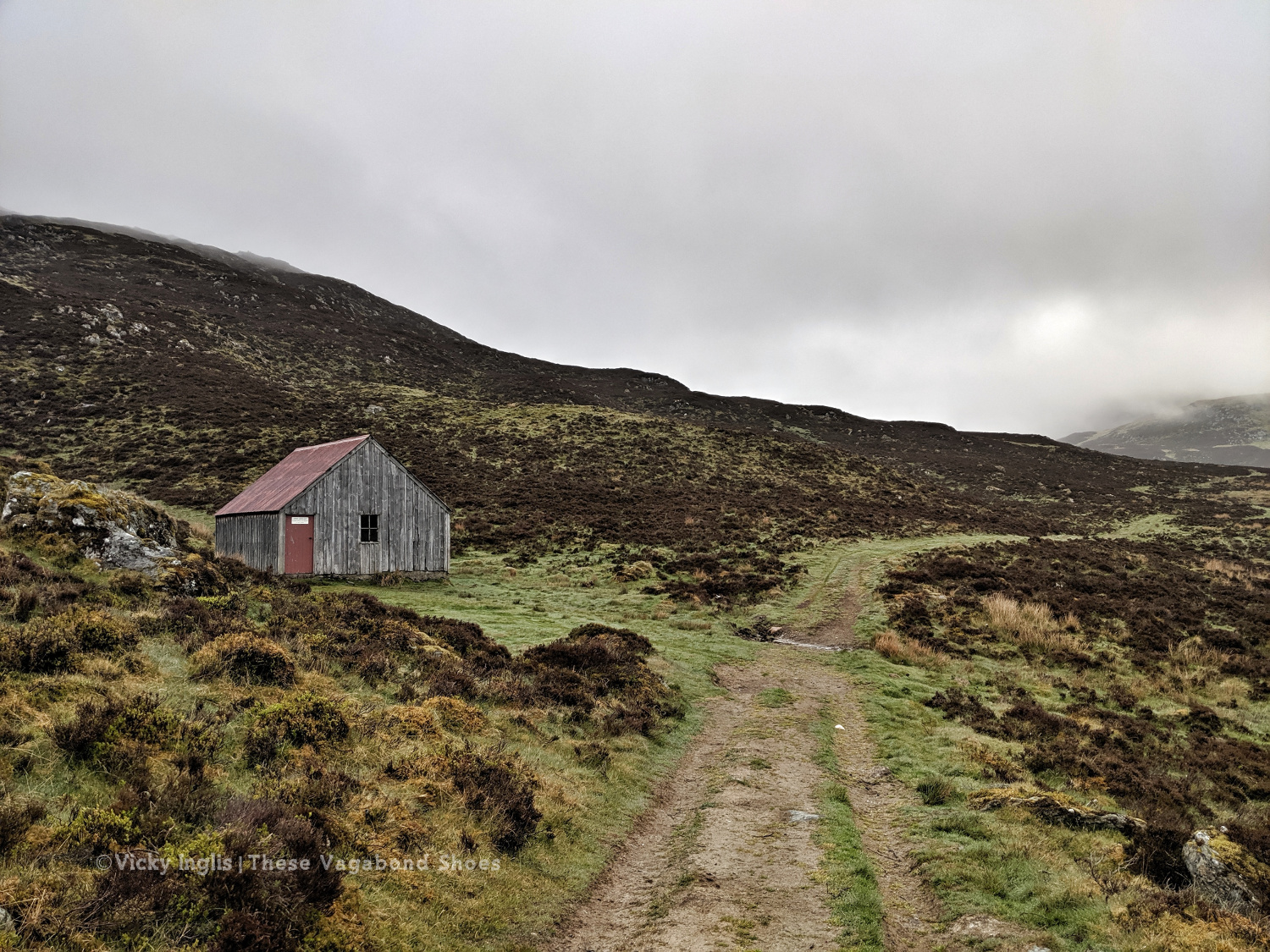
The Lunch Hut bothy, home for the night.
Sunday 19/5
TGO Day 8: The Lunch Hut (Cateran Trail) to Glen Doll
Distance: 31km
Ascent: 1734m
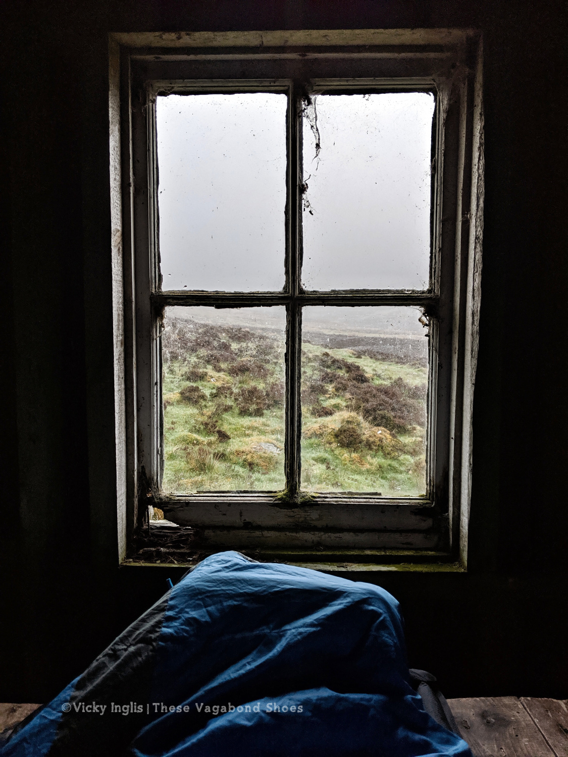
Two things contributed to my early wake-up, the slow deflation of my air mat through the night finally reaching the point where my hip touched the tabletop I was lying on, and a sheep bleating incredibly loud and close to the bothy. I gave it a hard Paddington stare through the broken window, then had the thought this is how a horror film would start. I whispered an apology to the sheep, so as not to wake my two bothy mates.
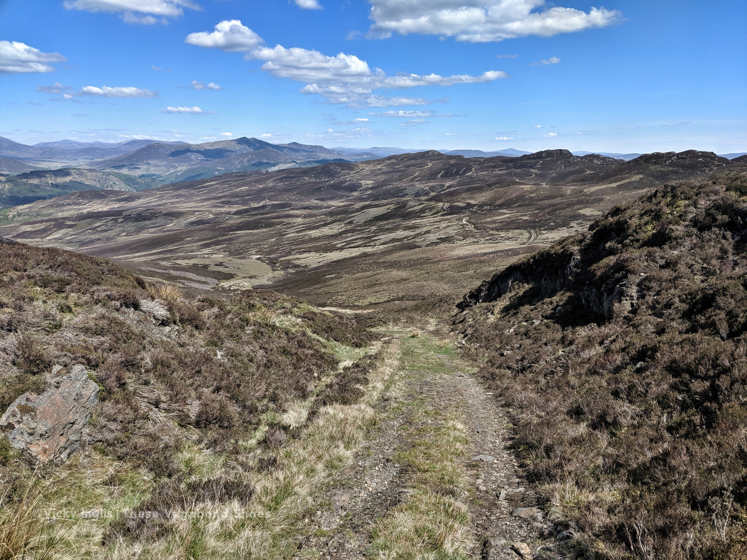
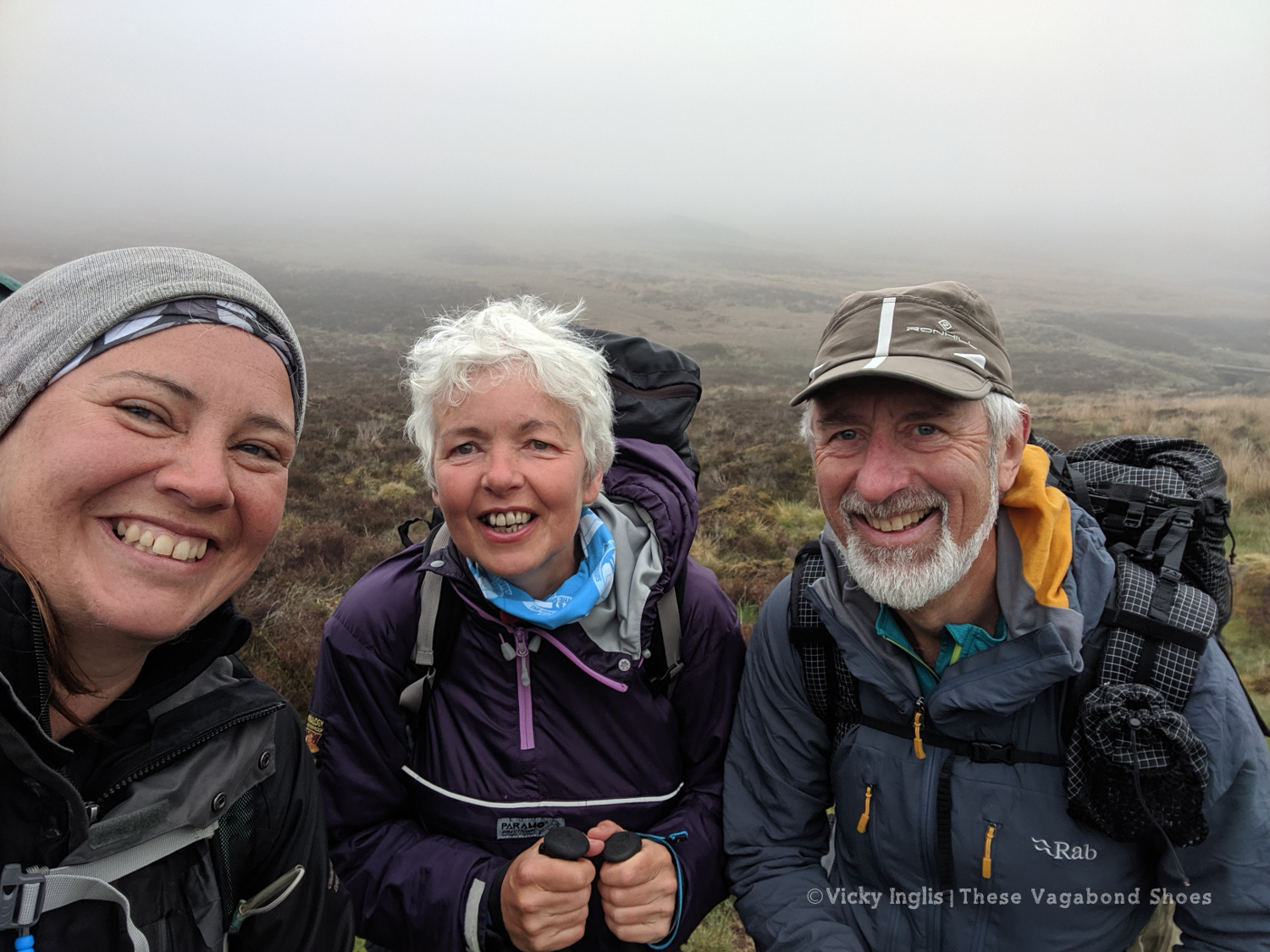
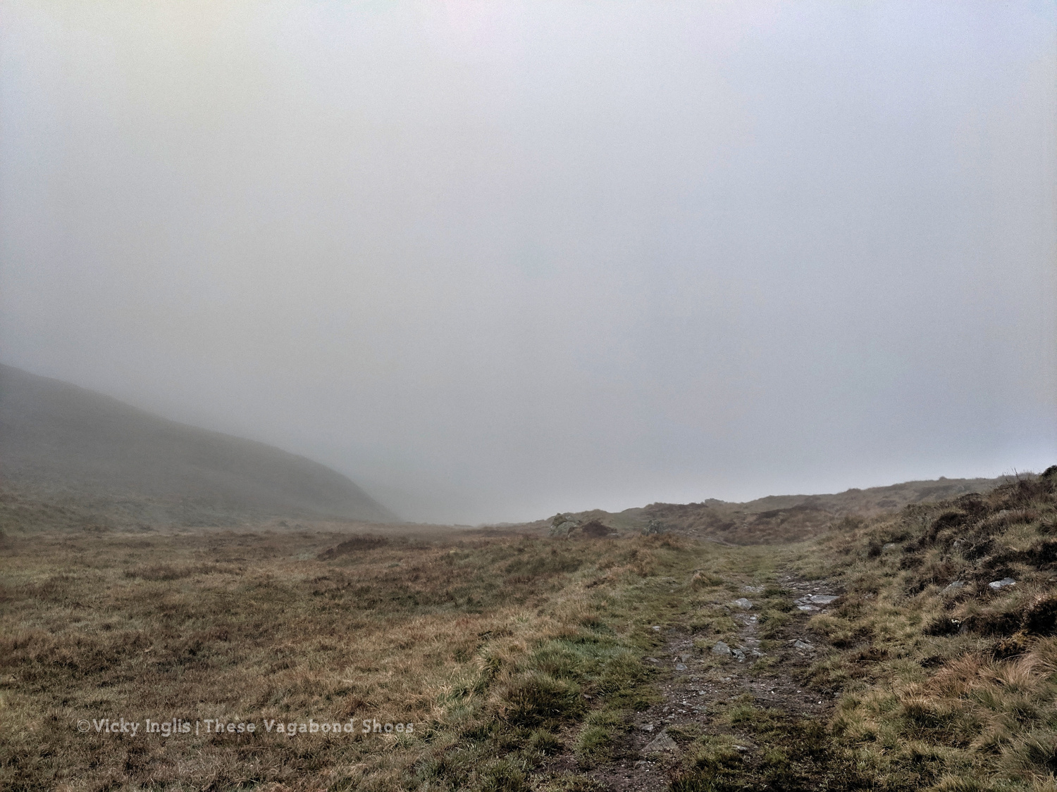
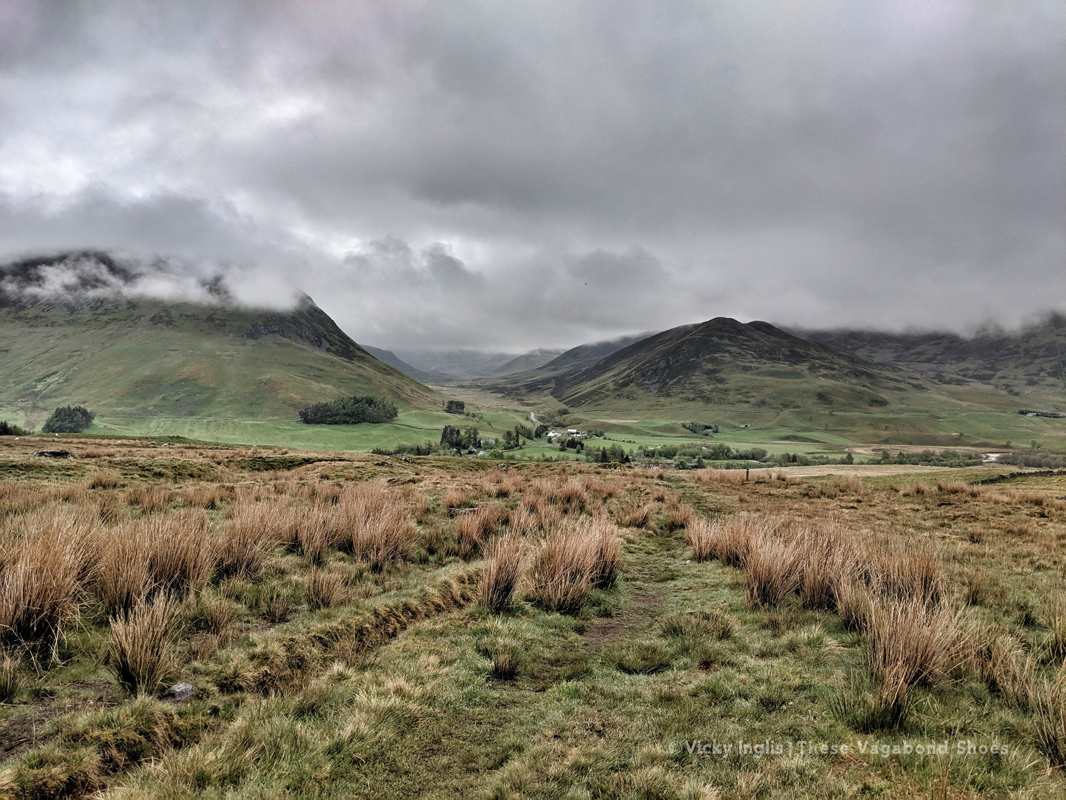
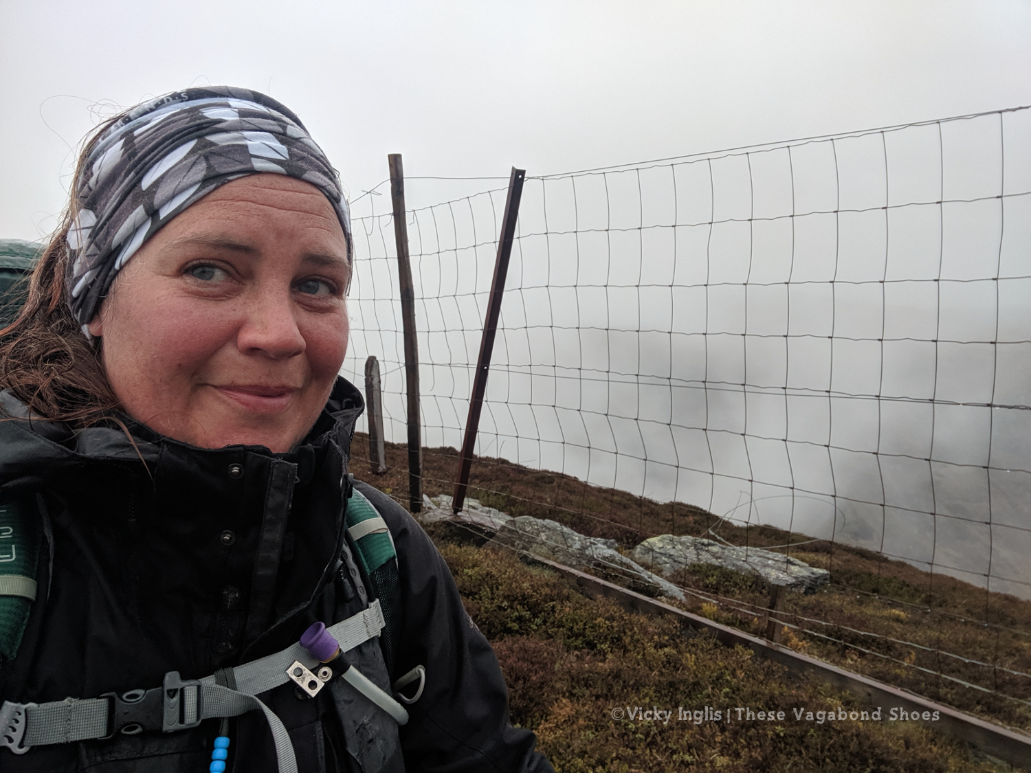
Overnight the fog had come in thick, obscuring everything further than 50 metres from the bothy. This wasn’t good, as I’d planned to head up high from Glen Shee, following hill tracks to start with, then bashing through the heather to Mayar, before descending into Glen Doll. As I headed over An Lairig, towards Spital of Glenshee, with Emma and Simon, I started to revise my route with their suggestions.
I decided on a longer route, staying at a lower level to make solo navigation easier for much of the day. We walked together on the Cateran Trail until Runvey, then Simon and I left Emma to continue on to Kirkton of Glenisla, while we headed for Loch Beanie. There, we parted ways and I continued to ascend to the shoulder of Monamenach and down into Glen Isla.
Rowing boat on Loch Beanie.
Looking towards the head of Glen Isla
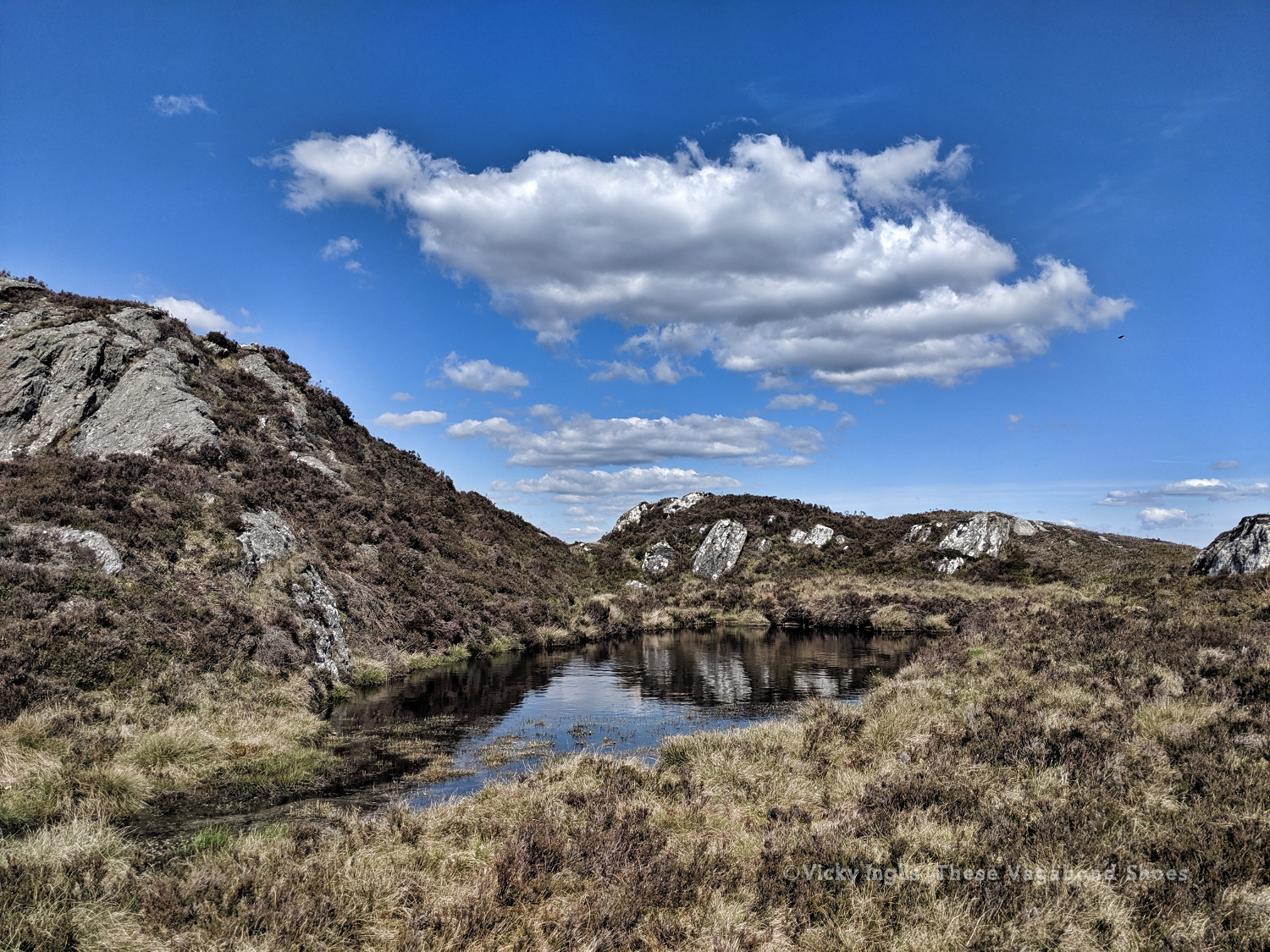
I quickly ascended out of the glen to Mid Hill and Tarmach Cairn on hill tracks, following them in an arc to Broom Hill, before leaving them behind to descend into Glen Prosen by the Glack of Balquhader. I’d been keeping a weather eye during the trek, and it hadn’t cleared on the high ground, where the last stage of the route was going to take me.
The footpath between Glen Prosen and Glendoll known as the Kilbo Path crosses the col between the Munros of Driesh and Mayar, and was the highest point of my revised route. The mist was moving in and out while I stopped for a meal, but from my memory and according to the map, the track looked distinct, so I felt confident enough to get across into Glendoll before the light faded.
Crossing between Glen Isla and Glen Prosen.
When you’re down here and need to be up there.
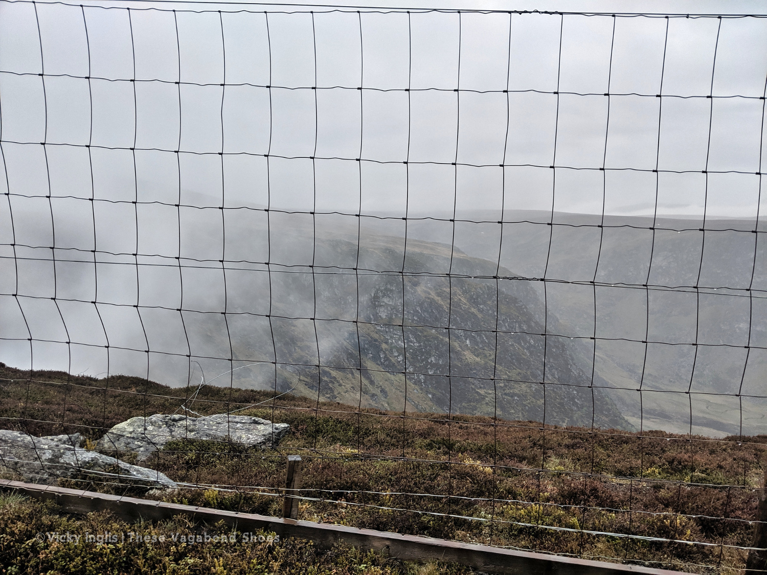
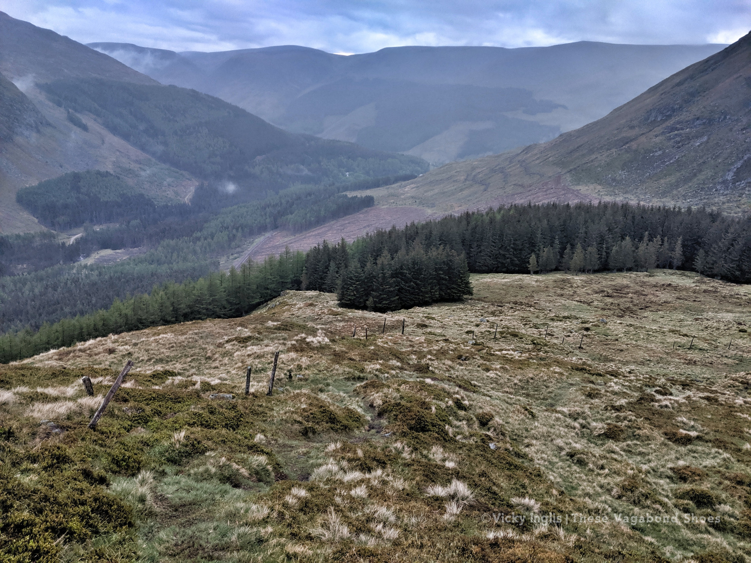
At the top of the path, the visibility closed in to be just a few metres in the cloud, but enough that I could pick out the deer fence along the back of Corrie Shalloch to handrail to the top of the descent on the Shank of Drumfollow, and make my way down into the valley. The path through the logged forestry was rough, but it meant I was counting down the last couple of kilometres to my camp. Finally, after 31km with over 1700m of ascent, getting on for 9pm, I was at the place I wanted to be.
At the top of the Kilbo Path between Glen Prosen and Glendoll.
The cloud clearing to reveal the back wall of Corrie Sharroch. Glad of the deer fence.
Descending the Shank of Drumfollow.
First glimpses of the Glendoll visitor centre, and the end of the day’s walking.
Monday 20/5
TGO Day 9: Glen Doll to the Clova Hotel
Distance: 5.5 km
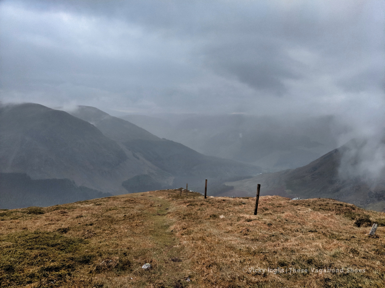
I rolled reluctantly out of bed and started packing the tent away slowly. My intended route for the day was another high one, climbing up from Glen Doll to White Bents and Boustie Ley, then picking up the track above Loch Brandy to head over to Tarfside. But no amount of coffee was giving me the motivation to attempt it, especially as the glowering low cloud was still obscuring the tops.
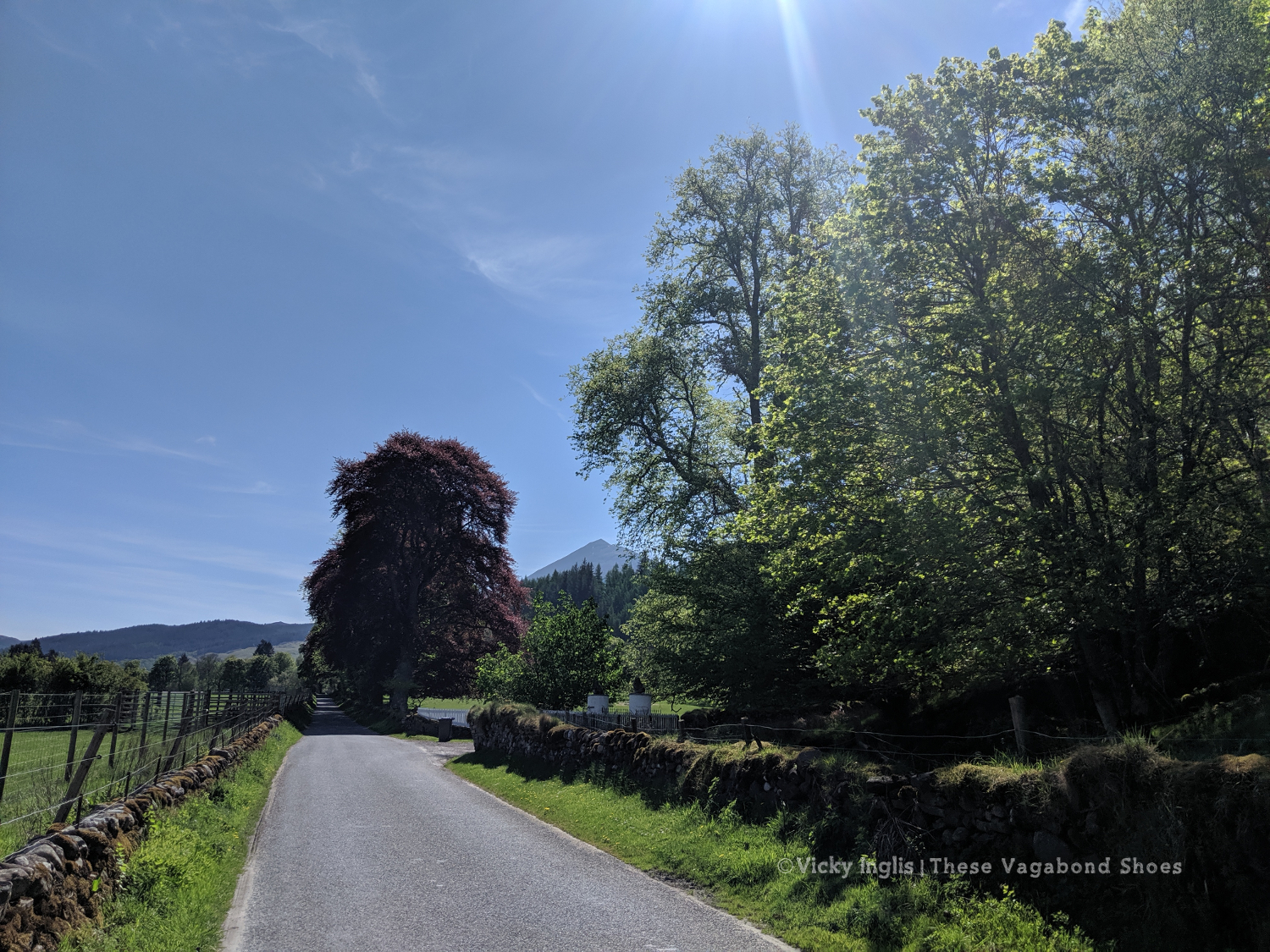
Finally ready to go, after chatting to a conservation team preparing pack horses for heading up to work on Davy’s Bourach, I set off along the road towards the Clova Hotel. I’ve walked this road a few times, and head down, powering along is the only way. I was reliving memories of my Silver Duke of Edinburgh expedition, and the oppressive clouds started to lift. It might be ok after all.
It wasn’t. About 200 metres shy of the Clova Hotel, the clouds burst and I was nearly soaked through before I could get my waterproofs on. I stepped up my pace, and through the mirk, saw a wonderful sight. John was standing in the road with a golf umbrella, having reached the end of his road trip, decided to come and check up on how I was doing.
Whisked off for a huge pancake breakfast and more coffee at Peggy Scott’s in Finavon, I checked the weather forecast. While the coast was going to be dry and sunny, the heavy rain was slowly creeping across the glens for the rest of the day, a big blue dot sitting directly over the Mounth. As I still had a day in hand to finish the challenge, I called it and decided to bail out the rest of the day and continue the following morning.
Read the next instalment of my TGO journal here, and catch up on the previous entry here.
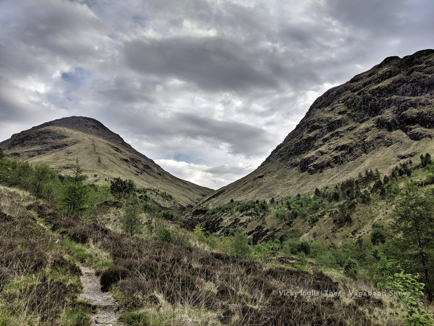
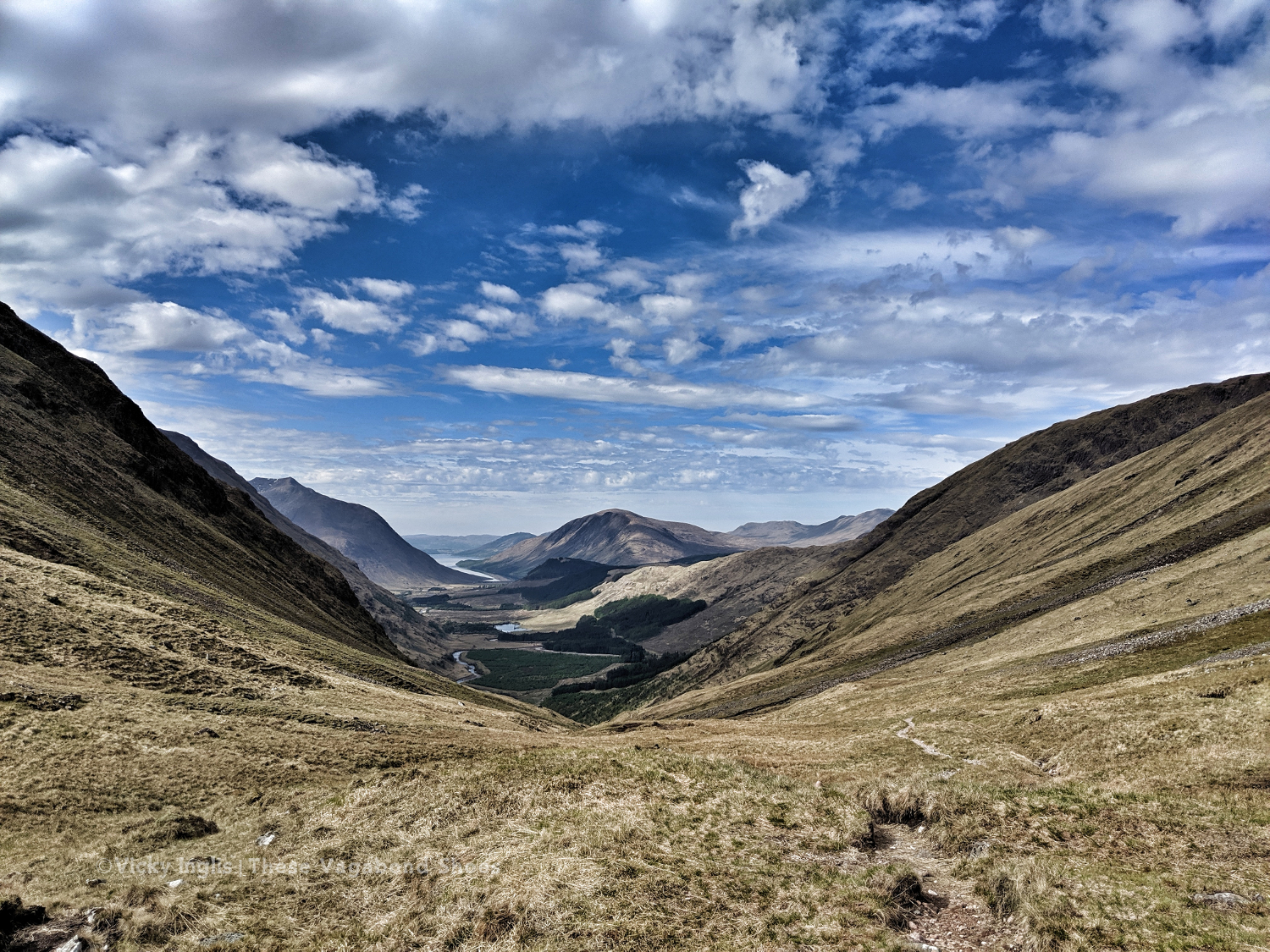
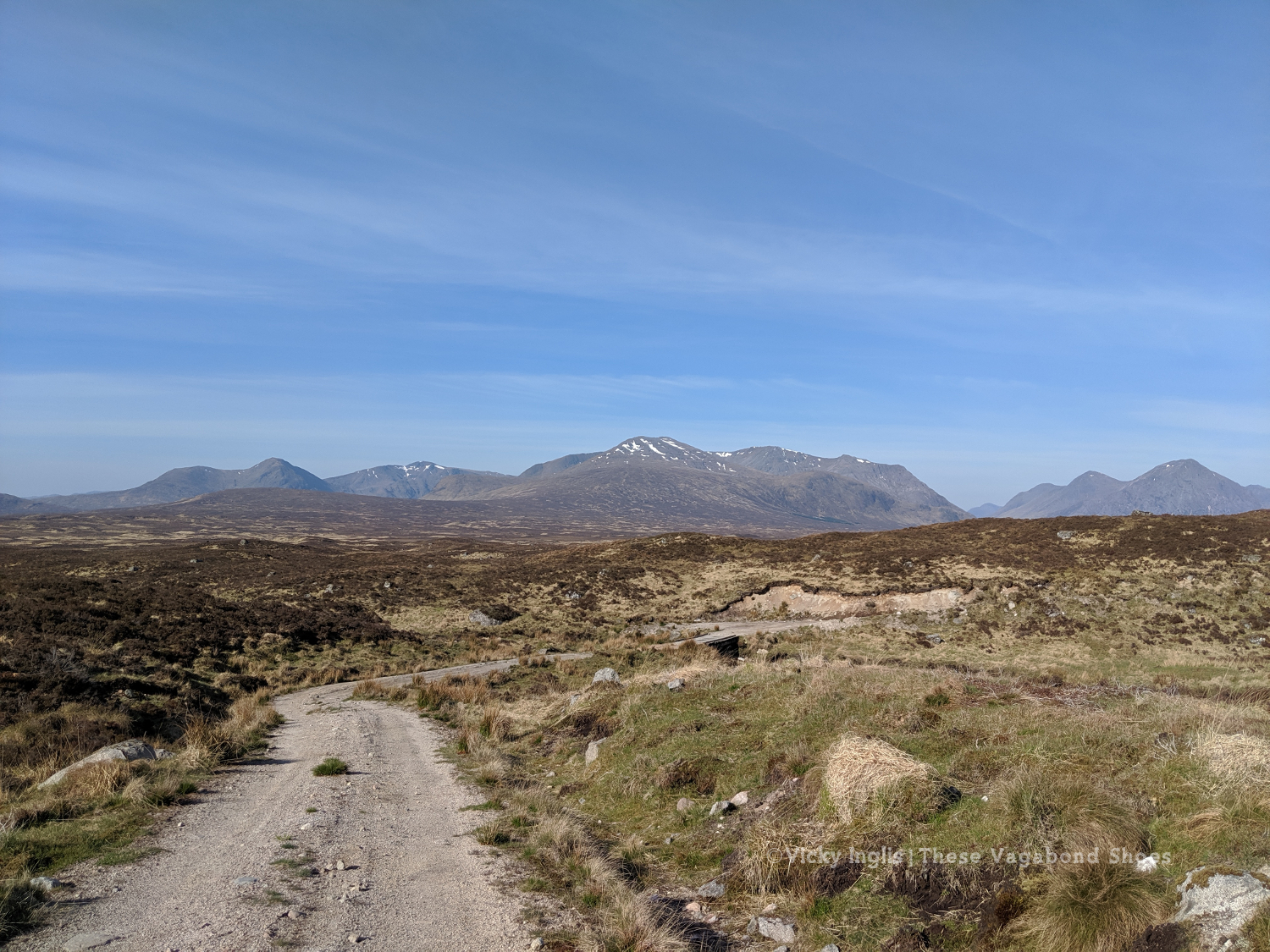
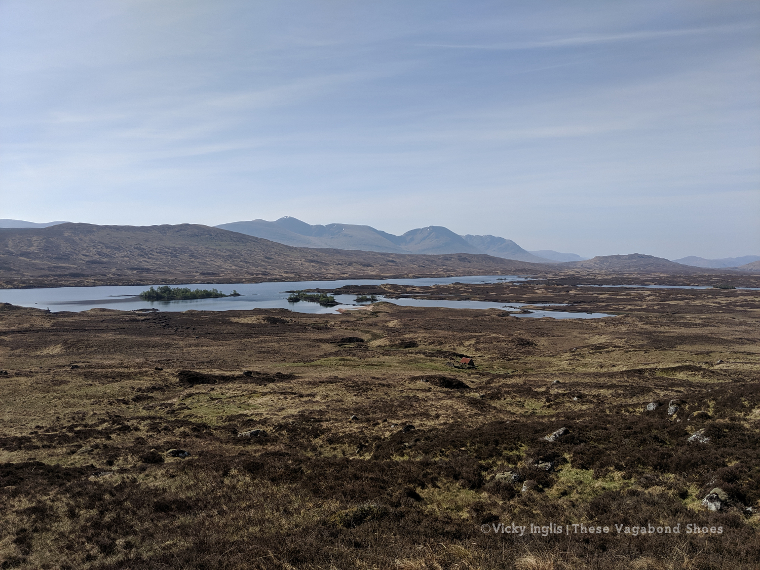
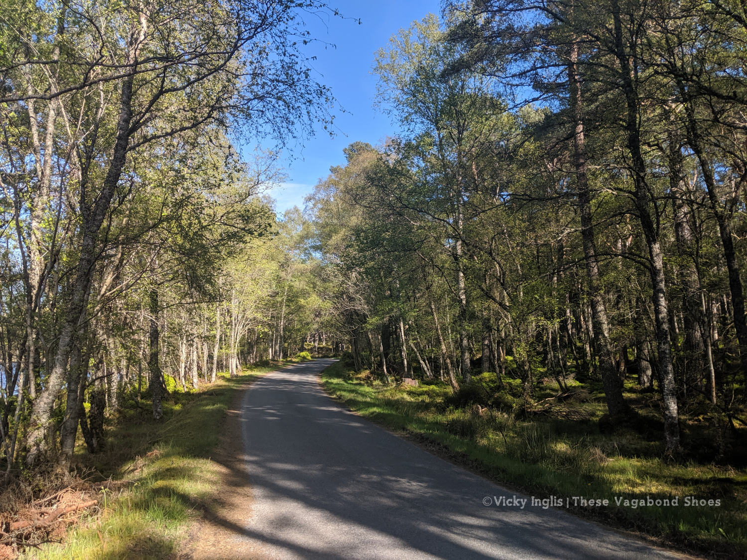
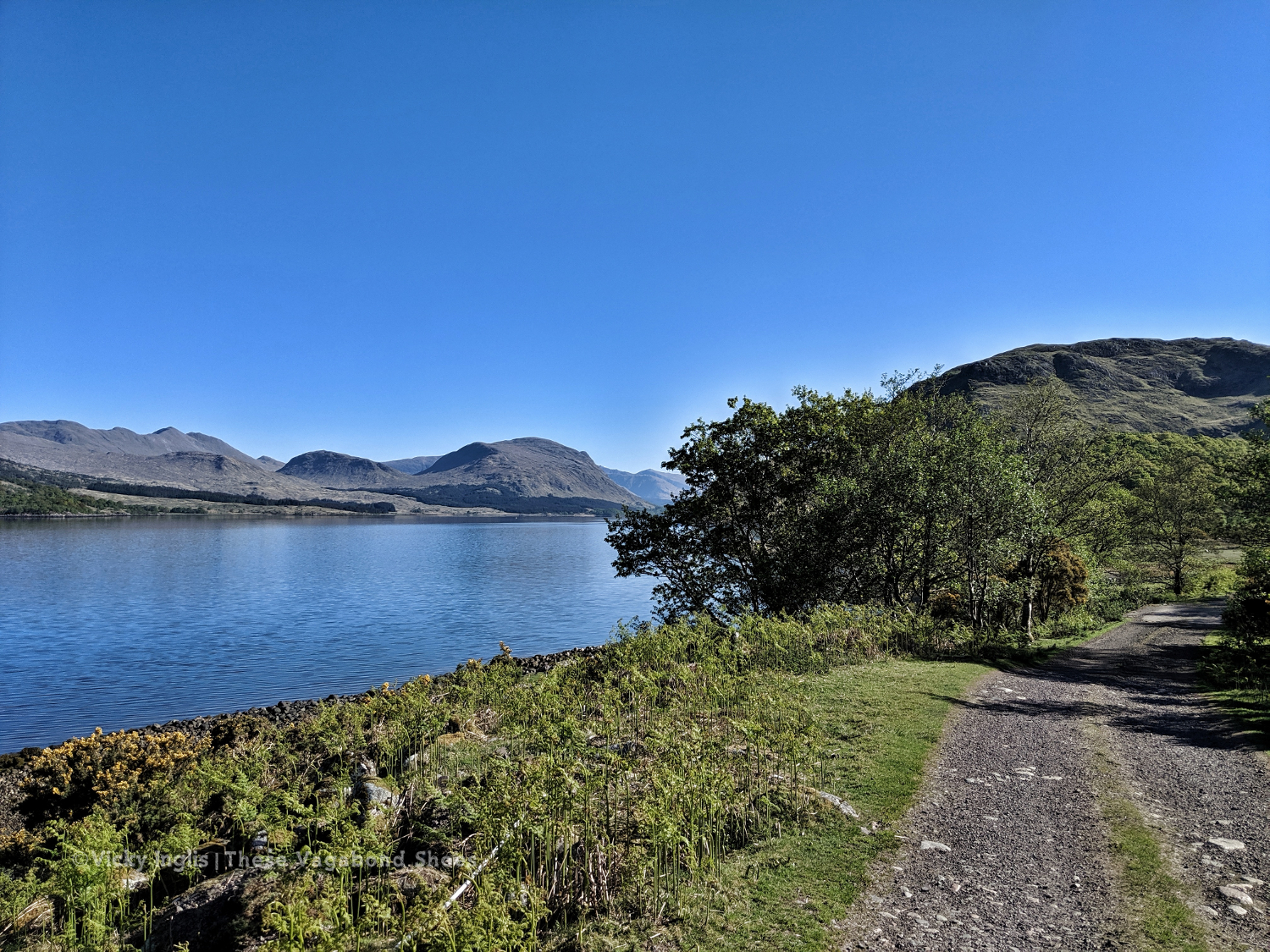
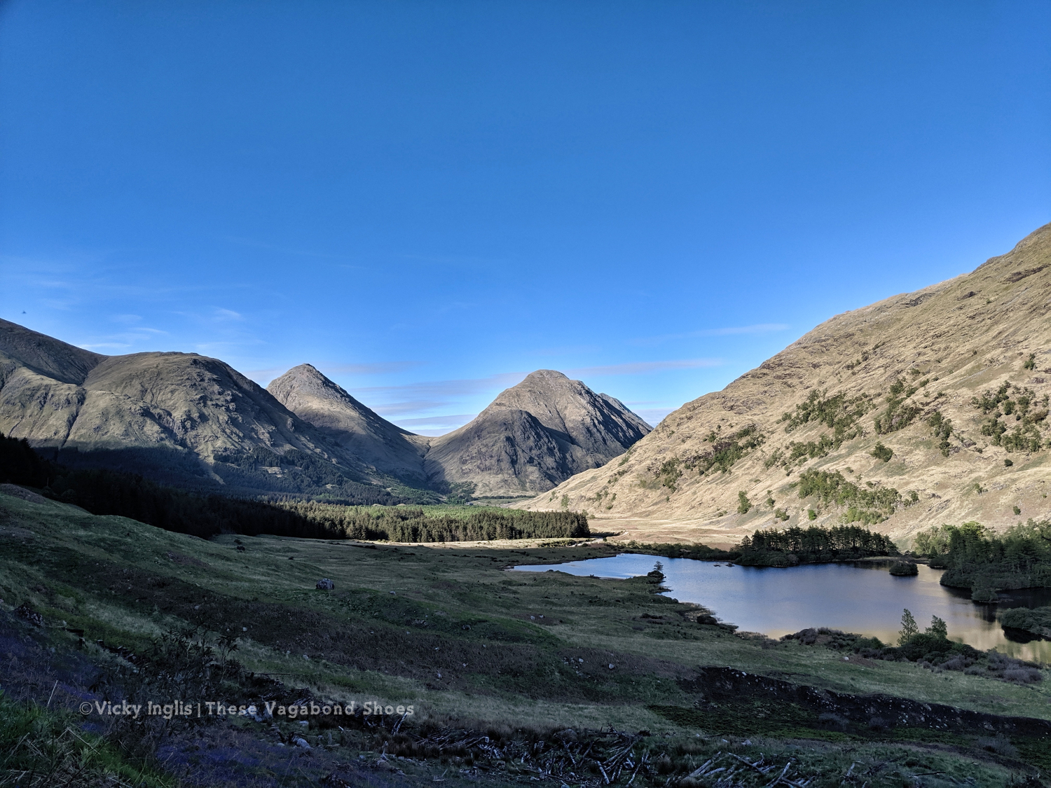
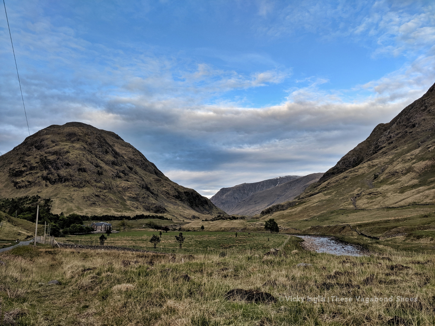
The first part of my route for the day had been visible for most of yesterday afternoon’s walk; Laraig Gortain, between Buchaille Etive Mór and Buchaille Etive Beag, leading to the well-trodden ground of Glen Coe and the West Highland Way. It’s the first real ascent of my route, though the biggest is still a few days away when I reach Schiehallion.
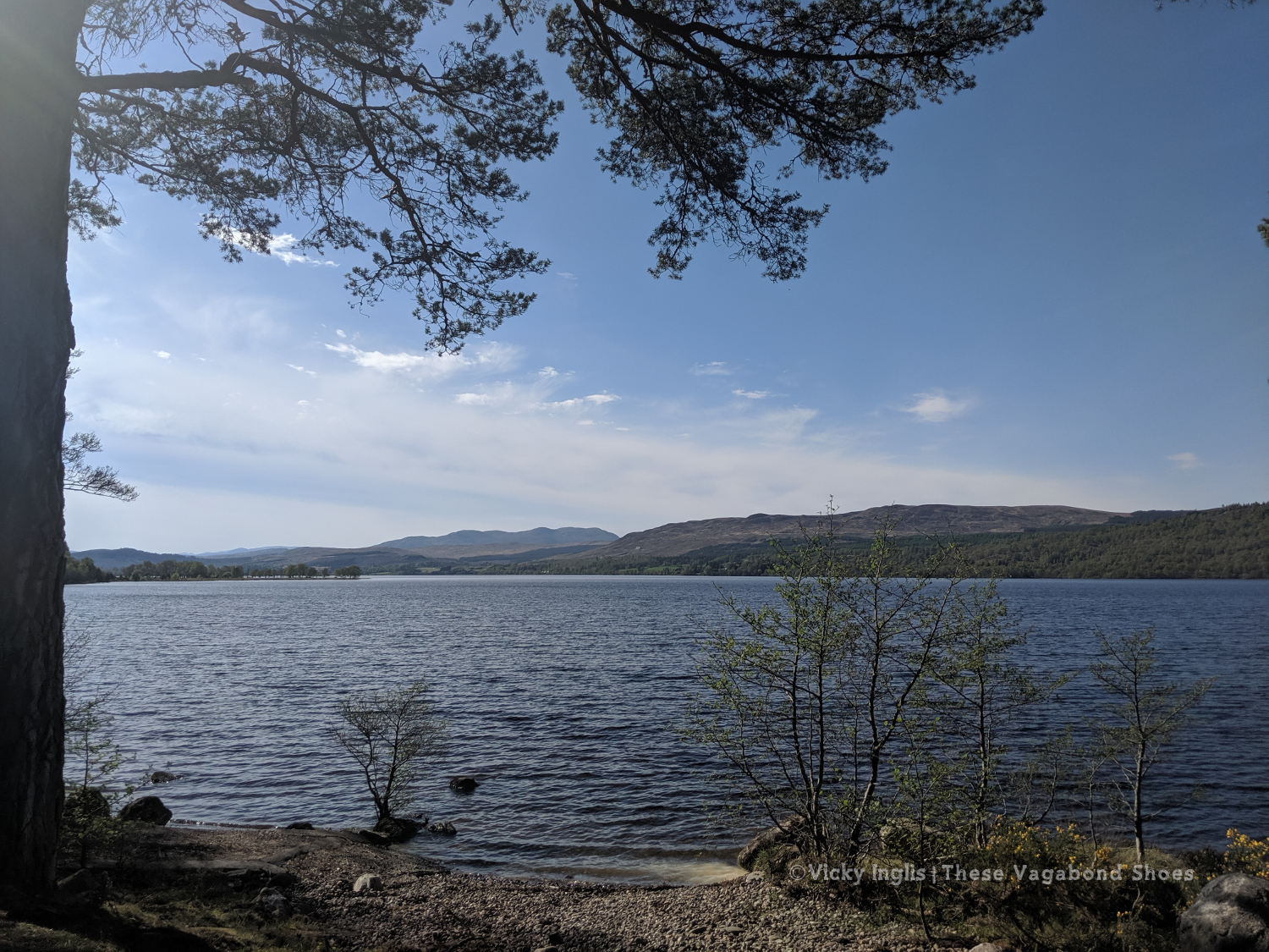
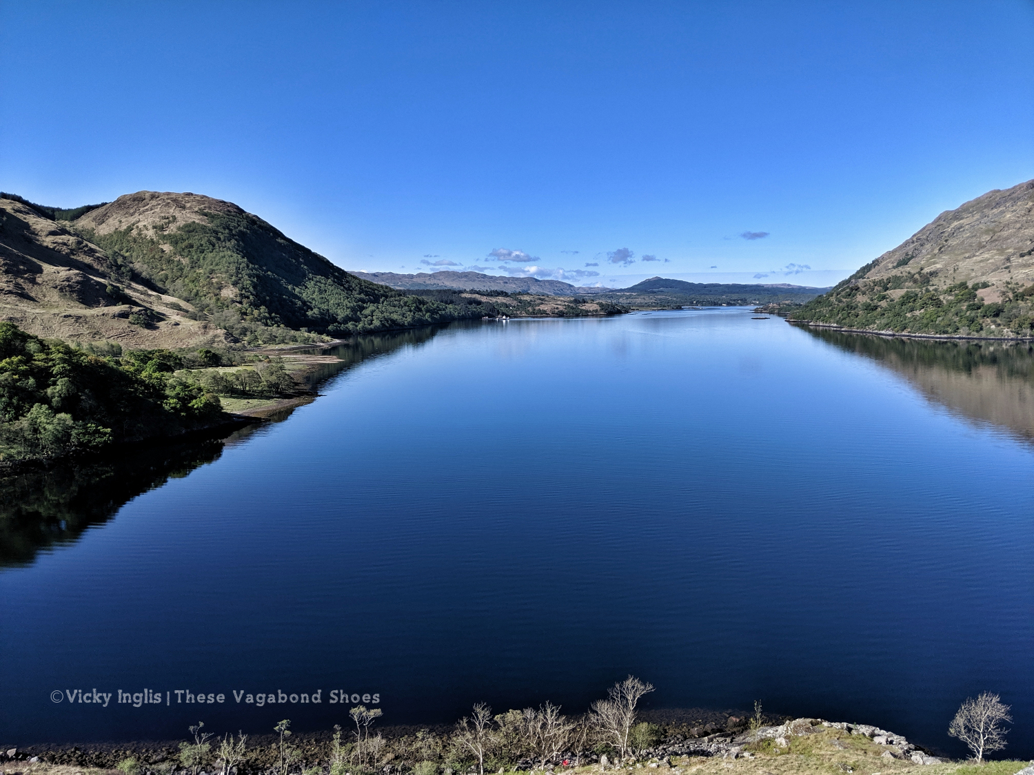
I stopped at the top of the pass for a cuppa and a long last look at Loch Etive, still technically the sea on the west coast.
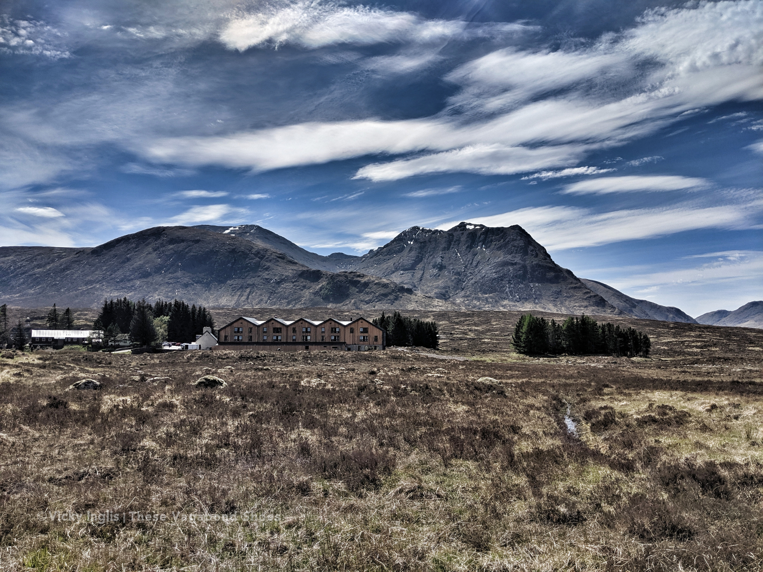
After two days on my own, just crossing paths with the group of Danish challengers a couple of times and occasional day hikers in Glen Etive, the WHW was almost shockingly busy with walkers. Heading the “wrong” way, it feels like pushing my way down the local high street on a busy shopping weekend. I took advantage of local facilities with a long lunch* in the sun at the revamped Kingshouse hotel to recover. It’s all very fancy, but then that’s the kind of girl I am.
*haggis nachos and a pint of coast to coast, 5/5 would recommend
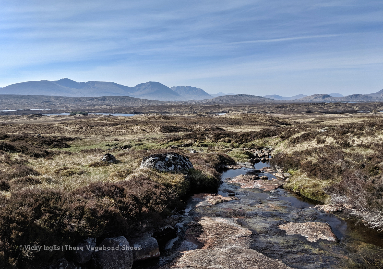
Leaving again was tough, with my pace slowing through the long hot day as I trudged across Rannoch Moor. The Danes caught up and passed me by just before I reached Black Corries Lodge, planning to head up into the hills. I kept on plodding on the track until 6pm and I’d used my last ounce of willpower and my motivational soundtrack to keep moving my feet.
I find a decent looking spot to camp close to a stream, but I’m still around 6km short of my intended endpoint. It’s going to make the next day really tough, but I’m completely drained. After pitching my tent I have a little swim and attempt to wash the peat from yesterday’s bog out of my trousers, before lying in the sun and reading my book. Have I hit the wall on just day three?
Tuesday 14/5
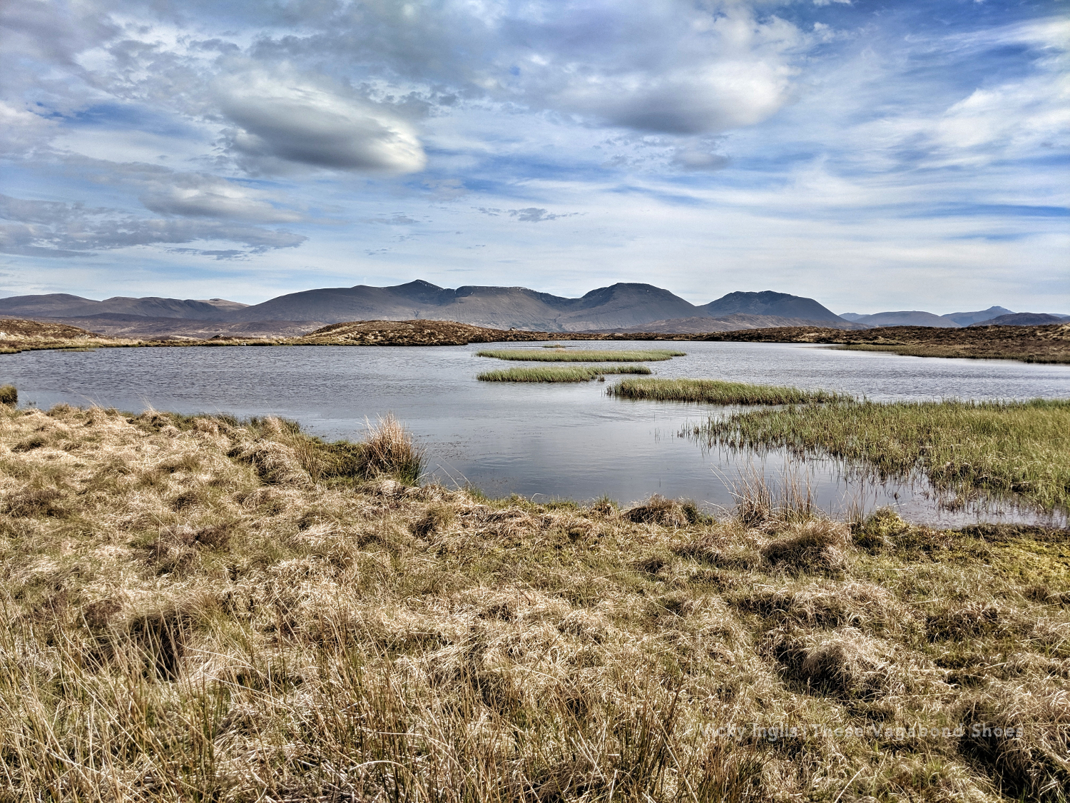
TGO Day 4: Rannoch Moor to Dall
Distance: 31km
The sun is shining again as I emerge from my tent, and I feel so much brighter than I did yesterday evening. A good night’s sleep, though instead of being woken early by cuckoos, I heard the sound of deer snuffling around and a grouse croak just after daybreak. It’s the fourth day of my challenge, and I’m starting to think of my daily routine. Wake up, eat, walk, rest, eat, walk, find somewhere to sleep, eat, rest.
Walking is my life now. I don’t have to worry about the usual issues of daily life, or working with the rest of the ship’s crew, and can be totally selfish. My only task is to get from A to B, to keep moving forward.
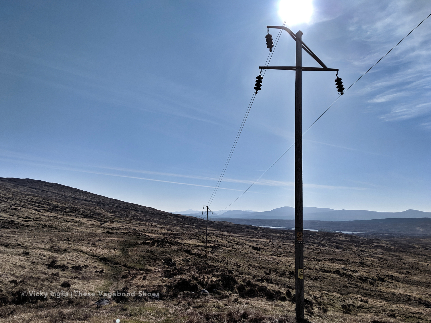
And today I do, finishing the distance I should have done yesterday, following the electric lines across the moor, then pushing on along the road from Rannoch Station (powered by a couple of coffees and a huge wedge of cake from the Station tearoom) and down the south side of Loch Rannoch to get to a good point for the following morning. It was a long slog on the road, especially in the sun, and it was a relief to find a shady spot to pitch my tent by the end of the day.
Wednesday 15/5
TGO Day 5: Dall to Braes of Foss
Distance: 24km
Ascent: 1065m, Schiehallion
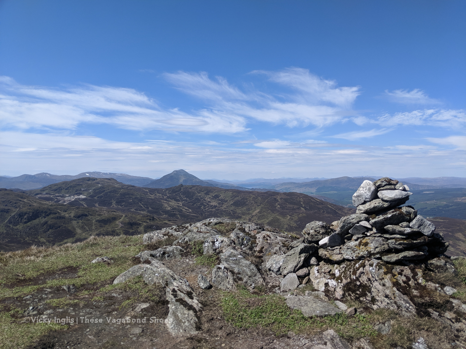
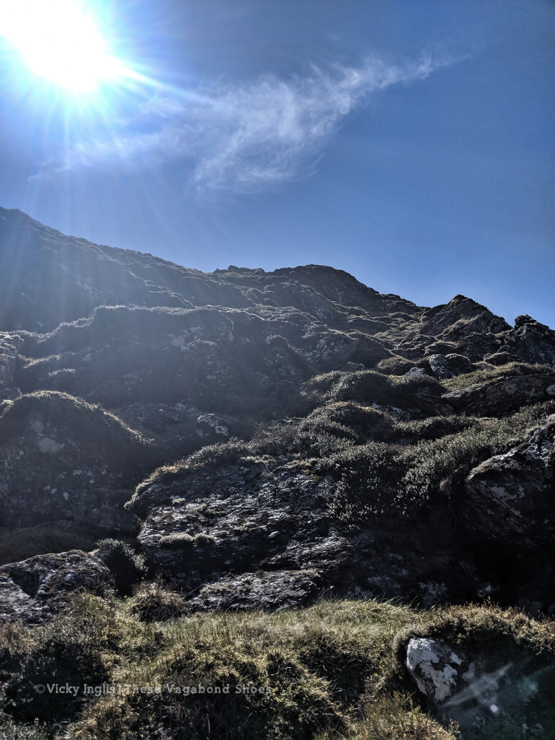
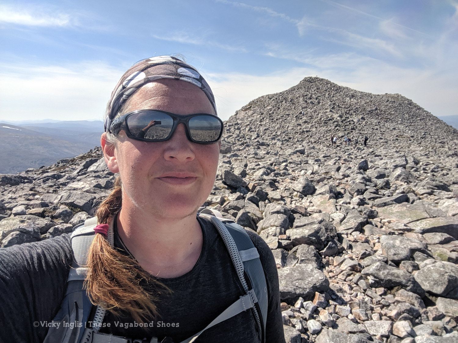
I’d been a bit concerned about adding many Munros into my TGO route, especially at the beginning. Just a month ago, felt like I was getting out of breath on the short, steep hills of the Devon coast. But it felt like a bit of a cop-out to come north and not climb at least one proper mountain. After looking at maps to plan my route, I settled on crossing Schiehallion, almost right in the centre of Scotland.
It’s one that I hadn’t walked up before, and has a fascinating story, whether you’re a fan of the wee folk or a bit of a geography geek. I think I’d put myself into the latter category.
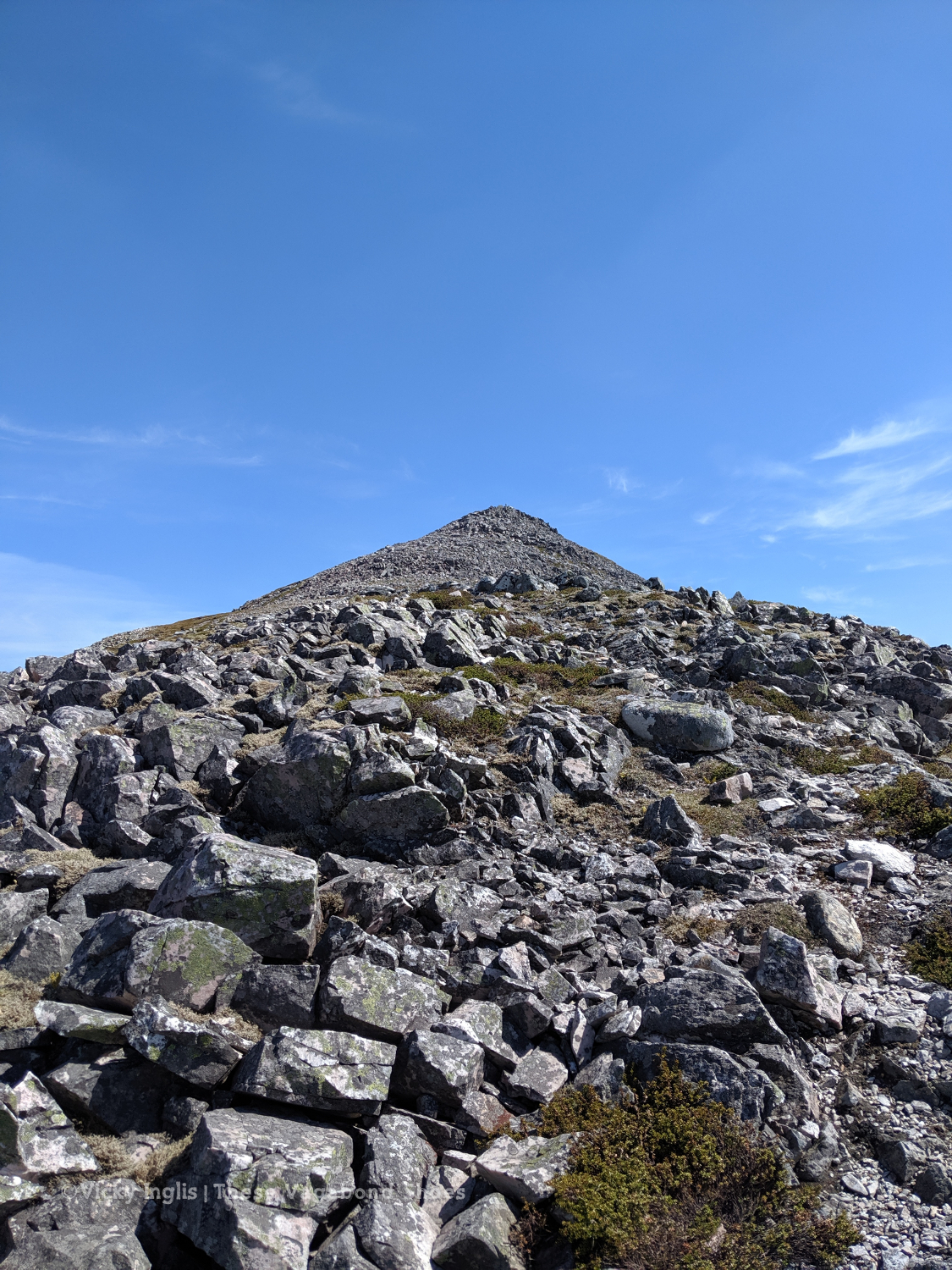
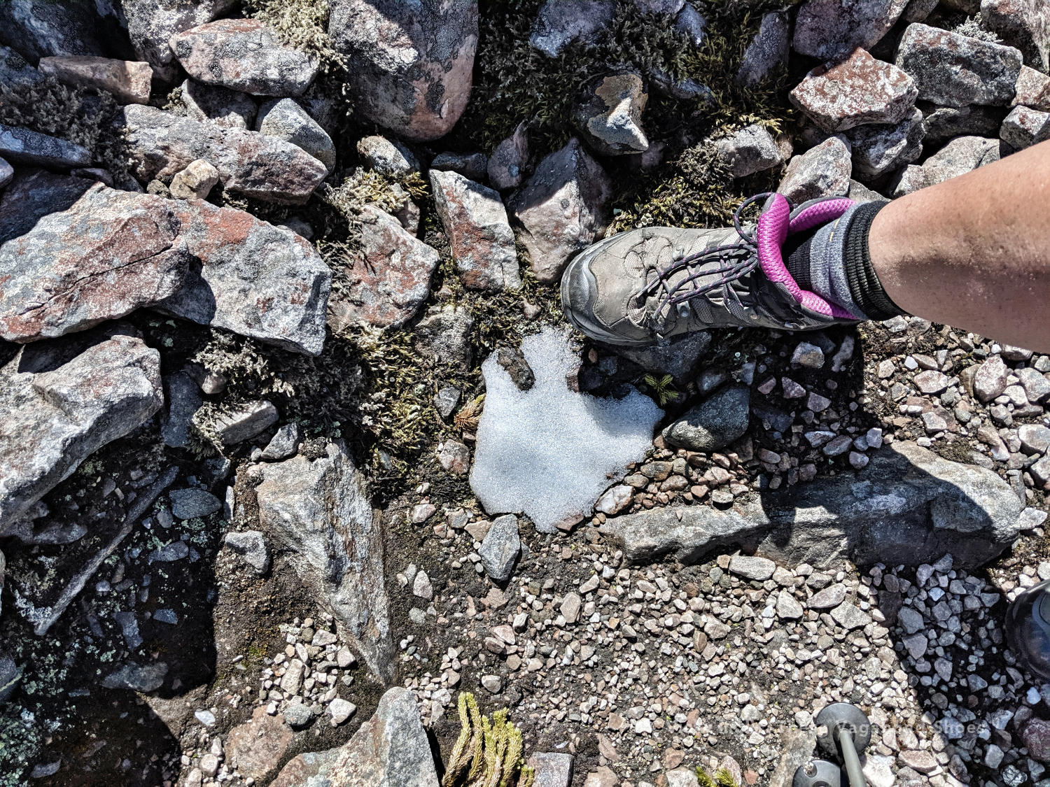
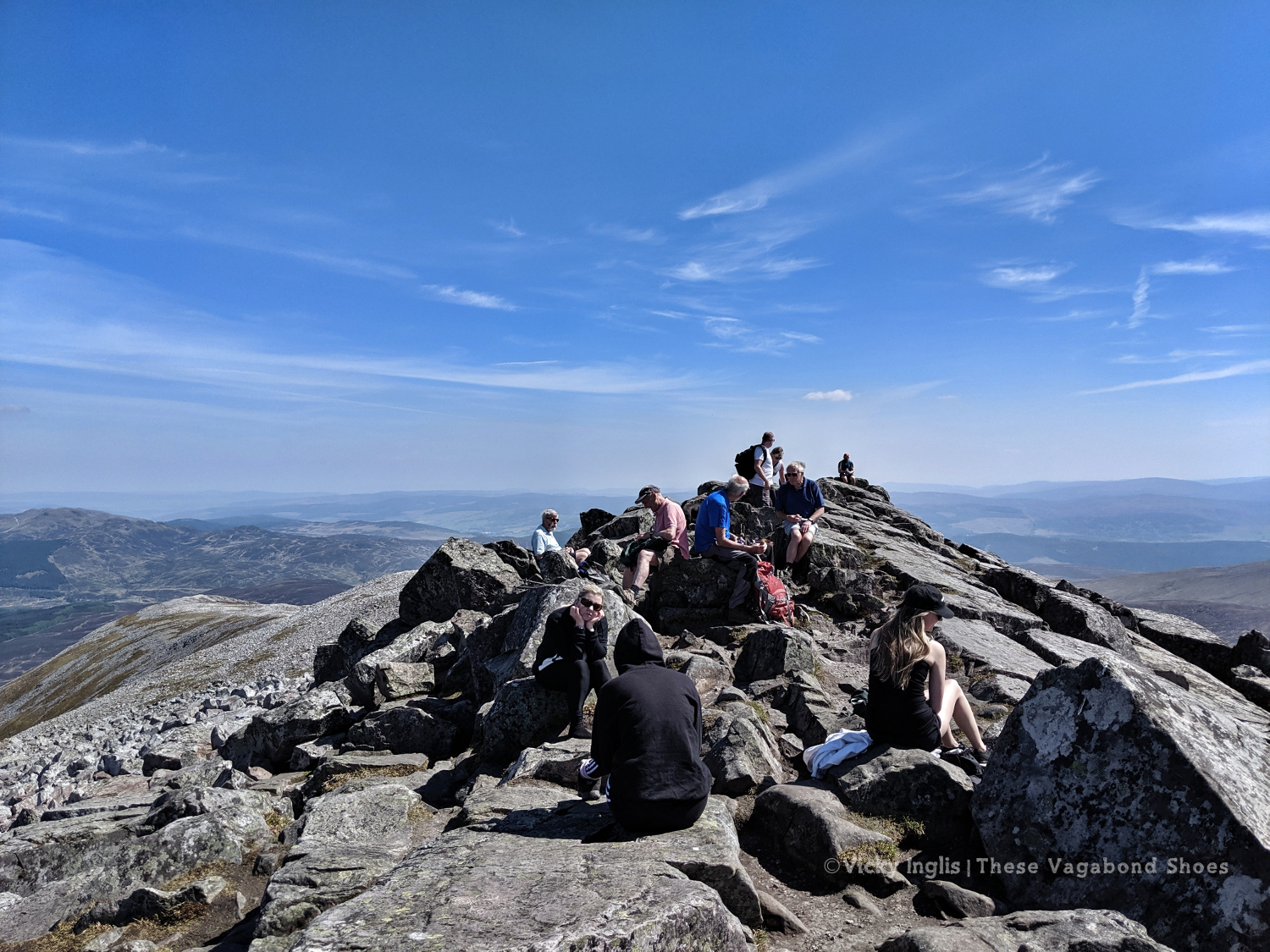
Not many people walk up from the west. A farm track leads up to the base of the ridge, with that famous pyramid view rising above you, then it’s a steep ascent through the heather to the start of the boulder field. Not a breeze to stir the warm air. One false summit, then the top comes into view. Almost there. And suddenly so many people.
The view from the top is outstanding and fills up my heart. I can pick out my route all the way back to Glencoe. I walked all that way. I did that.
And now I’m here on a mountain top. Exactly where I should be.
Read the next instalment of my Challenge journal here, or catch-up with the previous one here.
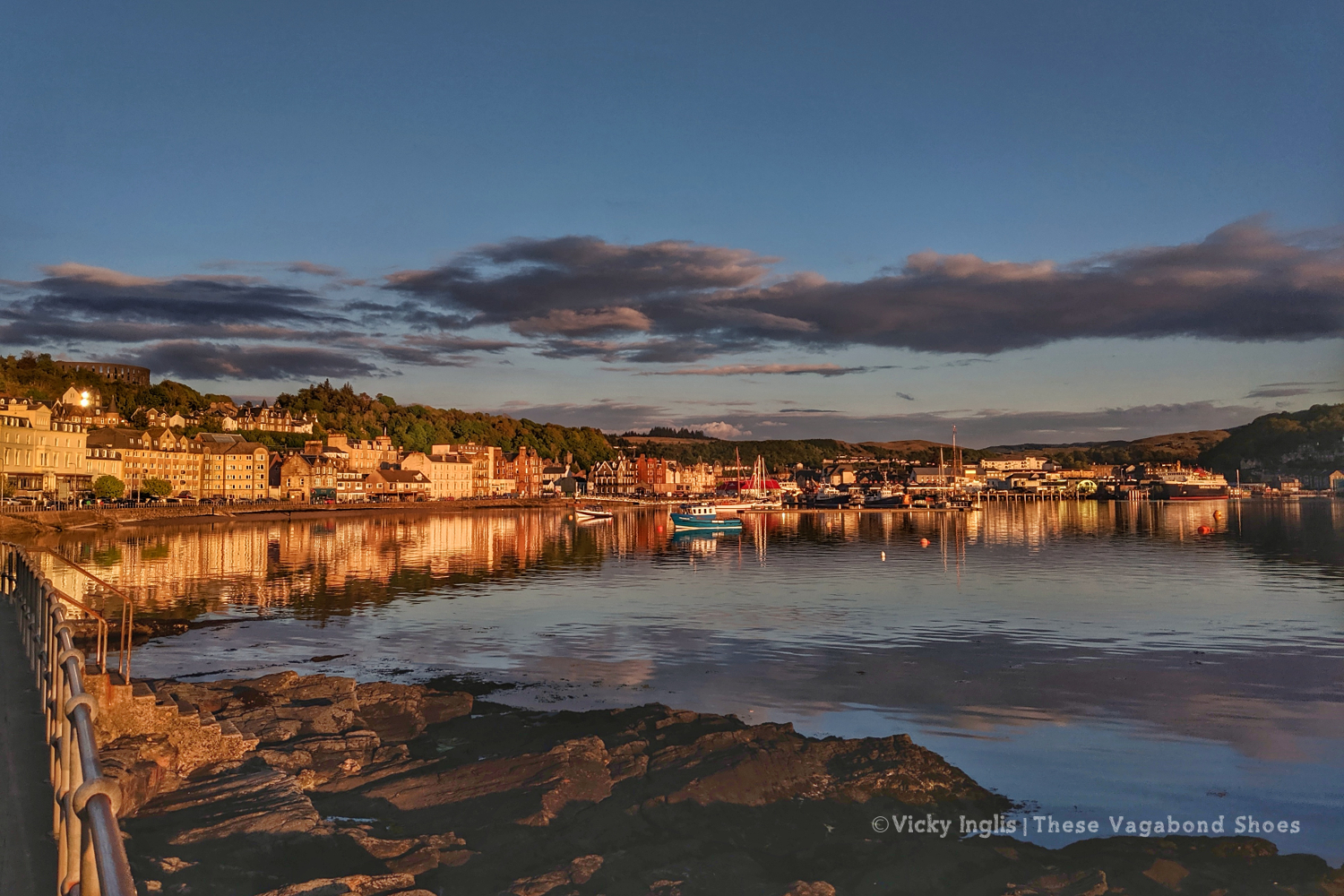
I arrived in Oban late on Friday afternoon, having shared the drive up from Dartmouth, via Leighton Buzzard and Biddulph, with John. While I was preparing to cross Scotland on foot, carrying everything I needed on my back, he’d decided to take the opportunity to plan a Highland road trip, crossing my route several times. I took advantage of his plans, so rather than post resupply packages to hostels and B&Bs on my route, I packed them into the car, and we’d meet up along the way.
Knowing I’d be seeing a friendly face now and again was reassuring, but my sense of apprehension was huge. I picked up a few last snacks and rearranged things in my pack, again, and mulled over what was to come. Will I be cold? What if I get lost? Have I brought enough? Have I brought too much? Can I actually do this?
I’d already had to change my plans, switching my start from Lochailort to Oban, and extending a couple of days distance to make sure I could fit the Challenge into my leave from a new job. My fitness levels also played heavily on my mind. For the past six weeks, I’d been living onboard Irene, a traditional sailing ship, and unable to walk any farther than the length of the deck. I’d had one afternoon off to walk from Brixham to Dartmouth on the south-west coast path; was that enough to prepare? (No) Am I good enough? (Well, we’ll see)
Now all I had to do was walk the 270km to reach the east coast. Easy, huh?
Saturday 11/5
TGO Day 1: Oban to Loch Etive (Inverawe Country Park)
Distance: 25km
After a bit of last-minute reorganisation (read: faffing about ) I finally signed the register at the youth hostel around 10am; one of the last names on the list left unchecked. Most of the Oban departures had left the previous day, so I’d be following their tracks out of town. If I could find my way out of town, as that depended on picking up a footpath somewhere behind a house near the top of the hill.
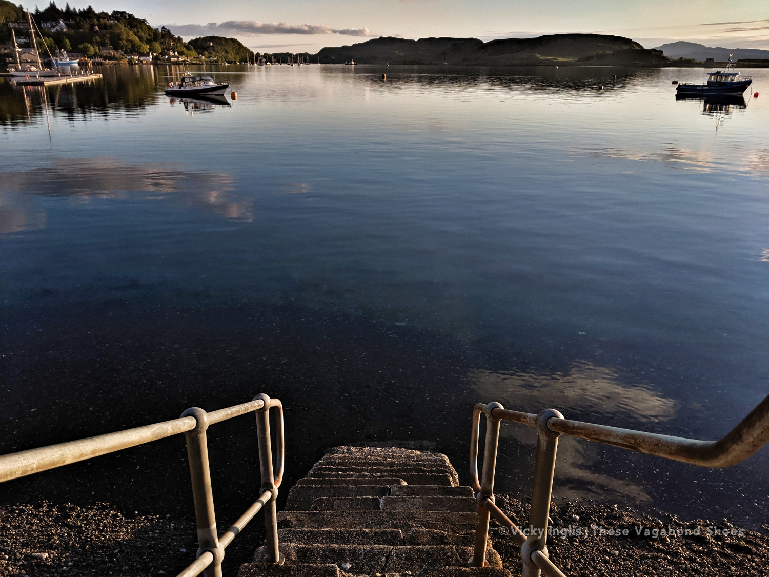
I crossed the road to make my official start from the beach, with my toes dipping in the water. Yesterday’s glorious sunset was a sign of things to come, warm sun and clear blue skies remained as I climbed the hill to McCaig’s tower, picked up the footpath and headed for the golf course. My nerves from earlier in the morning soon dissipated, and I was feeling confident as I headed away from the coast.
The hardest part of the day’s navigation was following the right road in town to make sure I found the footpath over the hill. For the rest of the day, I followed the minor road through Glen Lonan to Taynuilt, headed through the village, then crossed over a suspension bridge to Inverawe Country Park. From here I picked up the track alongside Loch Etive and found a suitable spot to pitch my tent and listen to the birds. I watch the sun go down, thankful for the absence of midges.
It felt like a great first day. No problems with my feet, through my hips and shoulders were not yet used to the weight of my pack, and I could feel the start of a bruise on my left hip.
Sunday 12/5
TGO Day 2: Loch Etive, near Glennoe, to Glen Etive, near Dalness
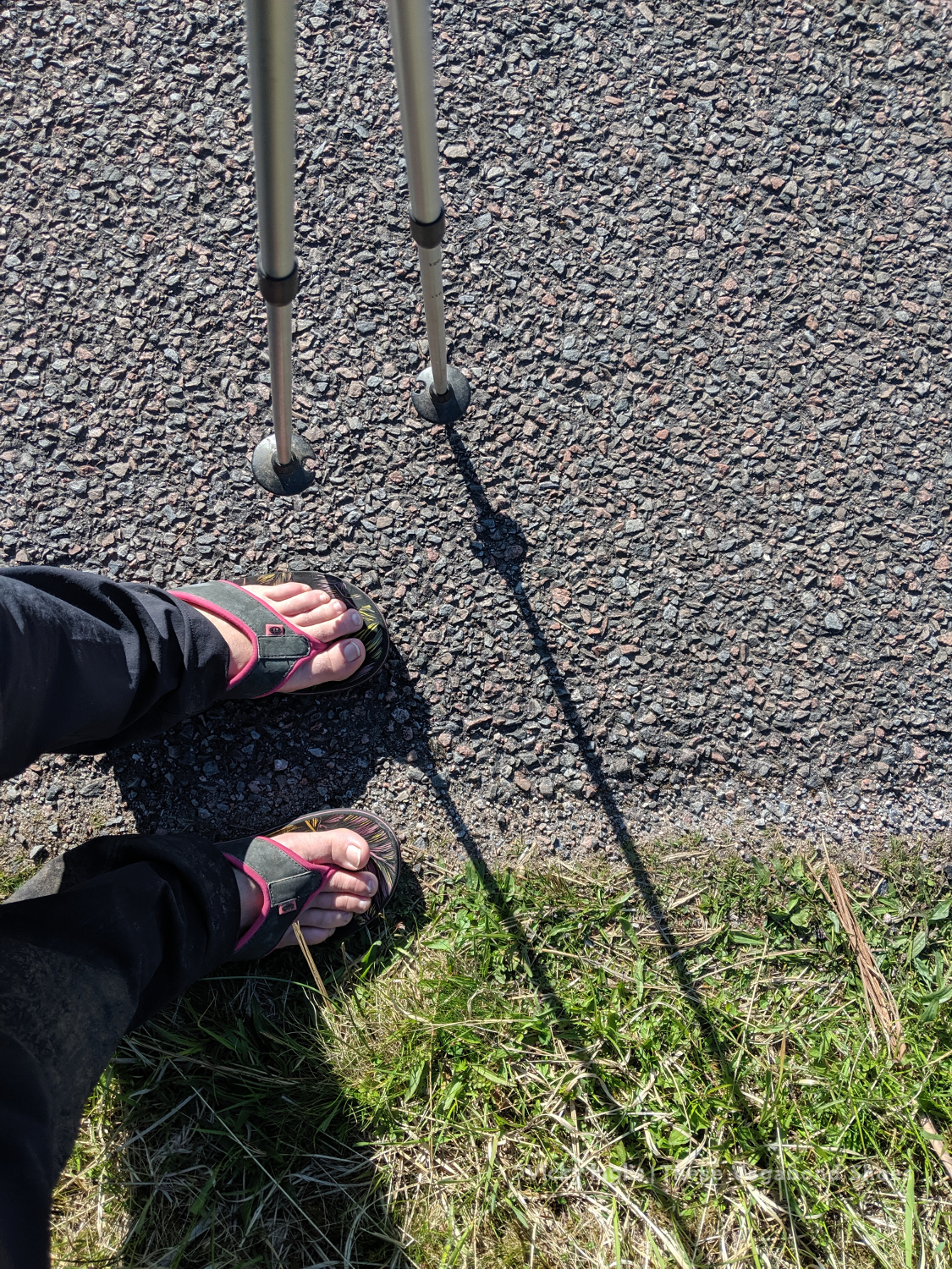
Distance: 25km (distance walked in flip flops: 7km)
I woke in the early dawn to the sound of a cuckoo calling in the tree above my tent, and found a skin of frost around the vent by my head. Time check, almost 5am. I pulled a pair of gloves on, pulled my hat down over my eyes, and tried for another couple of hours sleep. The little bit of smugness at the lack of midges disappears quickly when I discover several ticks in my tent. I shook everything out and hung my tent over the tree vacated by the cuckoo while I checked my body.
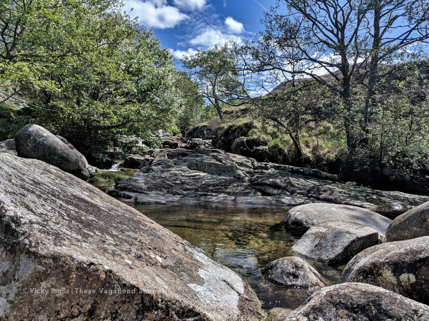
After breakfast and a coffee, the sun was high enough to melt the frost on the tent, and I packed quickly to get on the way. The first couple of hours were easy-going, following the track along the east side of the loch until it disappeared somewhere between a beach and a bog. I crossed paths with a group of Danish challengers, though they forked off into Glen Kinglass not long afterwards. The day got hotter as I slogged on through the tussock alongside Loch Etive, so when I found a river with a deep pool I stopped for a lunchtime swim. It’s such a beautiful spot, I find it hard to leave.
A long trudge to the head of the loch faded out into a slog through the bog around Kinlochetive, at times falling thigh-deep in the wet earth, sapping all my physical and mental energy. I try to skirt around the edge of the bog, thinking that it would be drier underfoot the higher up the slope I went. That’s physics, right? So wrong.
By the time that I reached the road in Glen Etive I was pretty much done, and felt close to crying, but still had five and a half kilometres to go before my planned overnight campsite. The Laraig Gartain, the pass between Buchaille Etive Mor and Buchaille Etive Beag, had been taunting me from the moment I hauled myself out of the bog. It just hadn’t been getting any closer however far I’d walked towards it. It loomed over the whole afternoon.
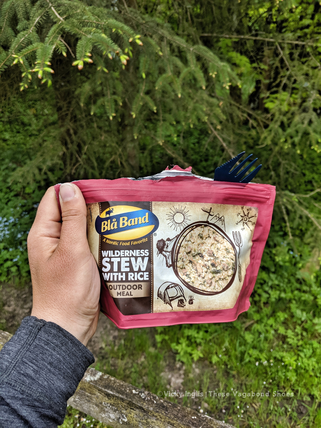
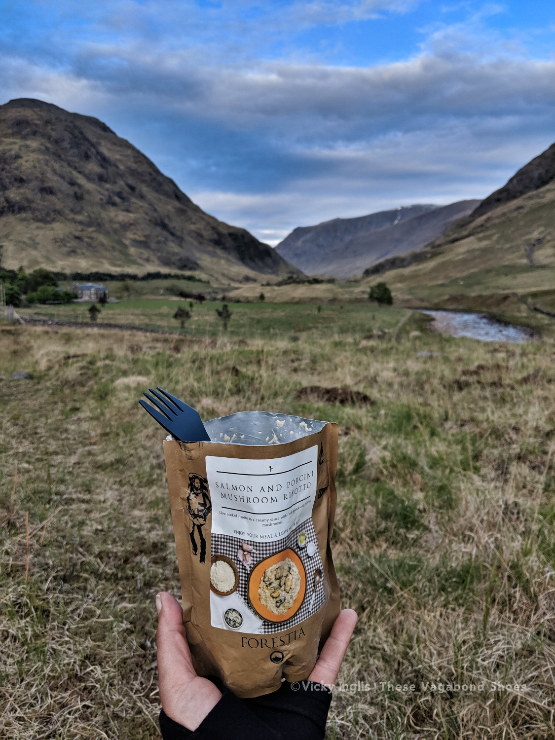
A coffee break and a chat with day hikers in the carpark at the head of the loch perked me up, and I kicked off my wet boots to finish the day walking along the road to Dalness my flipflops. I pitched my tent with a Skyfall view and treated myself to the fanciest of the meal pouches I’d packed for this stage of the Challenge, before retreating to my sleeping bag for the night.
Read the next instalment of my Challenge journal here.
In May each year, like a flock of migrating birds, three hundred or so backpackers take part in an adventurous coast-to-coast trek across Scotland. The TGO Challenge invites participants from across the globe to explore some of the wildest and most beautiful landscapes in Europe.
Looking down into the Great Glen from the Monadhliath.
What is the TGO Challenge?
The Great Outdoors Challenge is an annual hiking event crossing the Highlands of Scotland, from the west coast to the east. The essence of the challenge is to experience the remote parts of the country, including many areas which can only be accessed on foot. Wild camping is a big part of that experience, and requires participants to be self-sufficient. Nothing beats unzipping your tent door to a brand-new wild view each morning.
Unlike the last couple of seasons, I’ve not travelled particularly far and wide in the last few months. Since returning from the Algarve at the beginning of November, I’ve been based in the UK, and making the most of the opportunity to get out and about while I look for work.
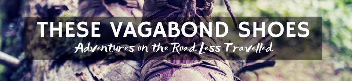
Christmas brought clear crisp weather to the Aberdeenshire coast; ideal for long walks and star-filled nights.
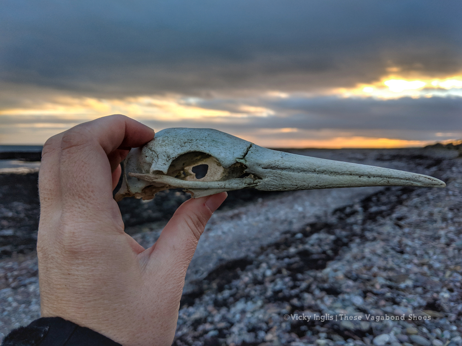
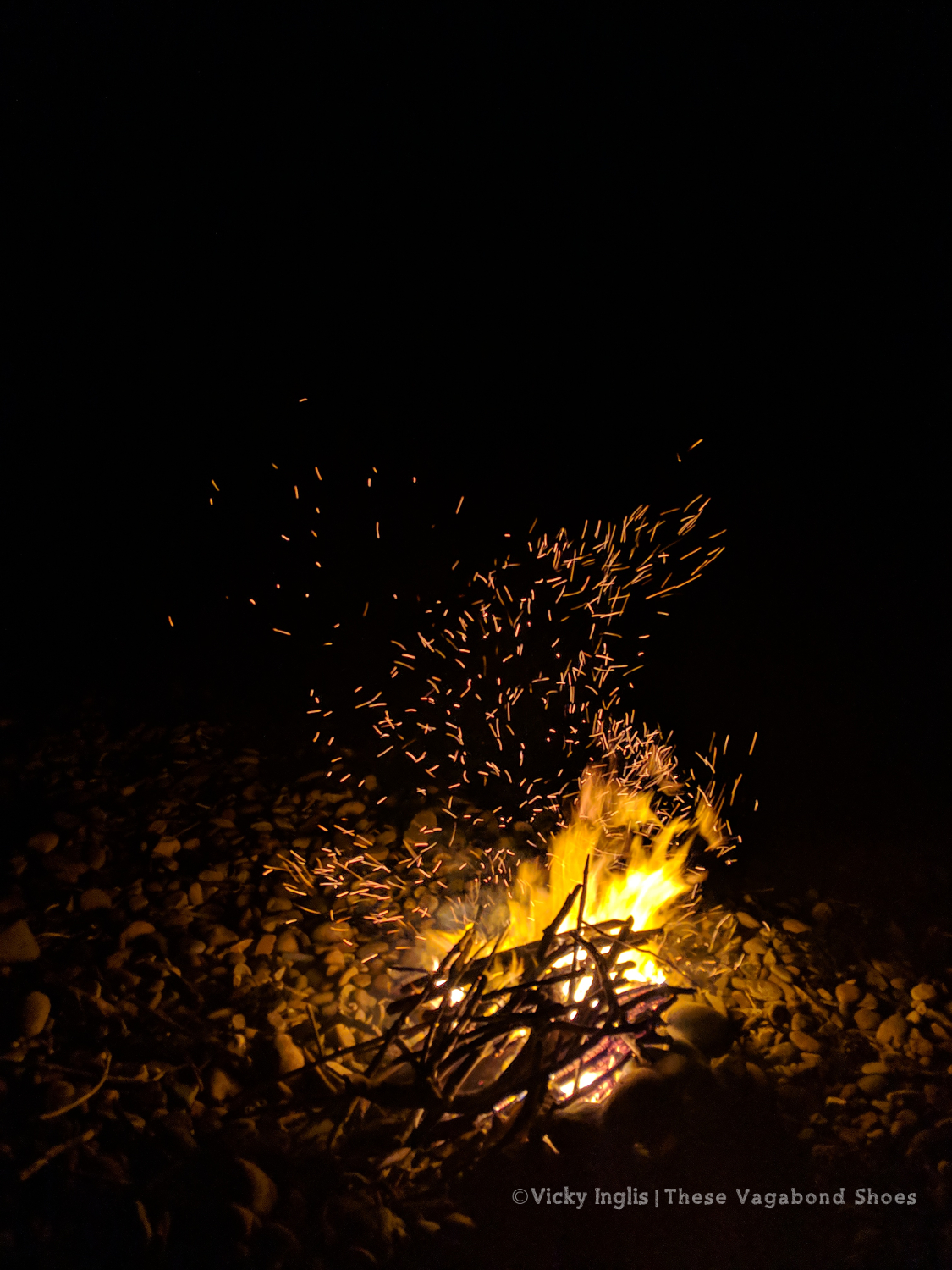
Over Christmas and New Year I headed north to Aberdeenshire to spend time with my family. The crisp, and clear weather was perfect for long walks along the coast, with the odd dip in the icy North Sea, and into the hills of the Angus glens. And short winter days quickly gave out to long dark nights, filled with stars and the arc of the Milky Way (although unfortunately no glimpse of an aurora), and a driftwood bonfire on the beach.
Lazy winter days spent beachcombing, reading good books, and spending time with family.
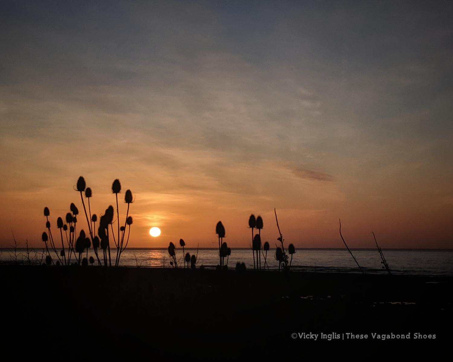
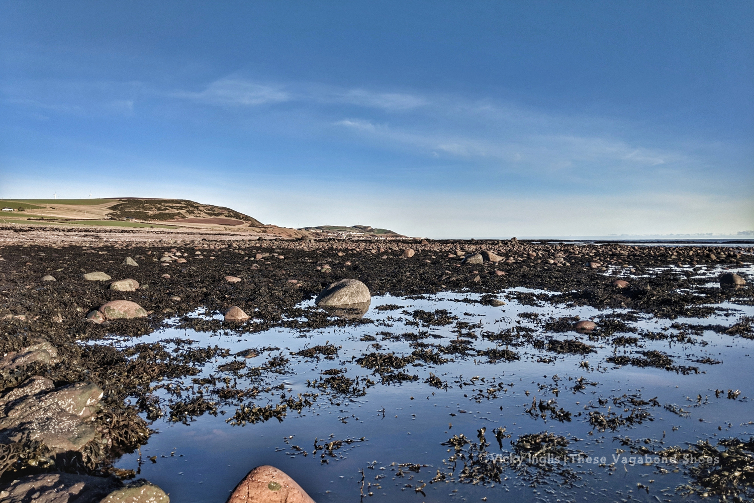
Love my favourite beach at St Cyrus National Nature Reserve.
Celebrating Hogmanay on the beach with a midnight bonfire.