Are you new to hillwalking or visiting Scotland’s mountains for the first time? Have you heard about Munro bagging, and are looking for a way to get started? Are you looking for a new challenge in the outdoors and to push your skills and experience a bit further?
Mountains in Scotland over 3,000′ (914.4 metres) in height are known as the Munros. Named after Sir Hugh Munro, the first person to compile a list of the peaks back in 1891. With improved mapping and measuring techniques, the list has grown and contracted over the years, but the most recent revision puts the total number of Munros at 282.
In addition to the Munros, there’s also Munro Tops. These are summits over 3,000′, but considered a subsidiary top of a nearby Munro. There’s currently considered to be 227 Munro Tops.
A good day out in the hills.
Below are 10 of my picks for the most straightforward Munros, and dare I say some of the easier ascents, which are ideal for beginners to Munro-bagging or for a short day out walking in the Scottish hills.
After one too many days of fine weather and lots of walking with limited access to drinking water, little shade, and no sunblock, I was done. I’d scheduled a rest day with friends once I reached Pitlochry, so I switched it around to have a day out of the sun to recover and called for a lift.
The original inspiration for the TGO Challenge; Scotland Coast to Coast by Hamish Brown
Not a lightweight backpacker.
The Maskylene plaque at Braes of Foss commemorating the Schiehallion Experiment
A shower! Clean laundry! Ice cream! No heatstroke! It was wonderful. I treated myself to a pair of shorts and the factor 50 sunblock my pale Celtic skin needed to continue walking in the sunshine the next day, as despite not being the most lightweight of backpacker I hadn’t packed either of those things. I also found a brilliant secondhand bookshop which had something I thought might be useful for the rest of my trek. What would Hamish Brown do?
Friday 17/5
TGO Day 6: Braes of Foss to Pitlochry
Distance: 21km
Ascent: 990m
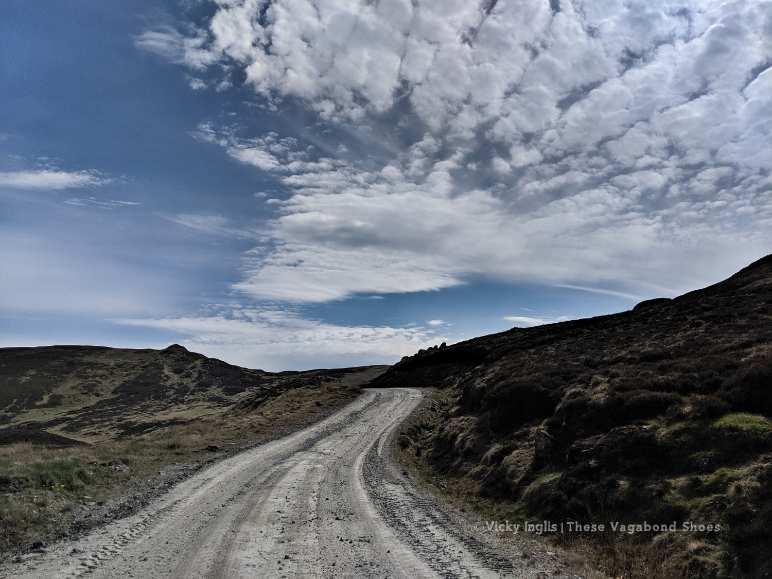
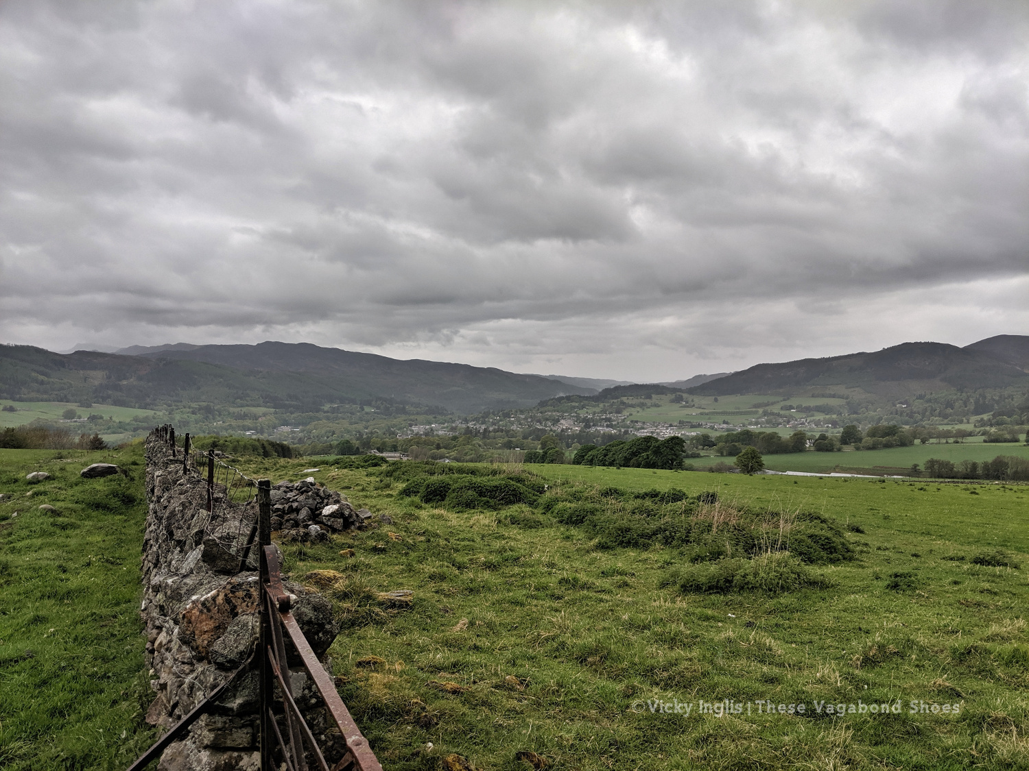
The weather had continued to be absolutely glorious, dry, warm, and sunny while I took a rest day, and I looked forward to getting back out into the hills to continue my trek. Feeling fit and refreshed I was dropped off at the point I left a couple of days ago, at the end of the access road to the bayrite mine at Foss. This time laden with abundant supplies of factor 50 sunblock.
The road leading to the mine.
The bayrite mine at Foss.
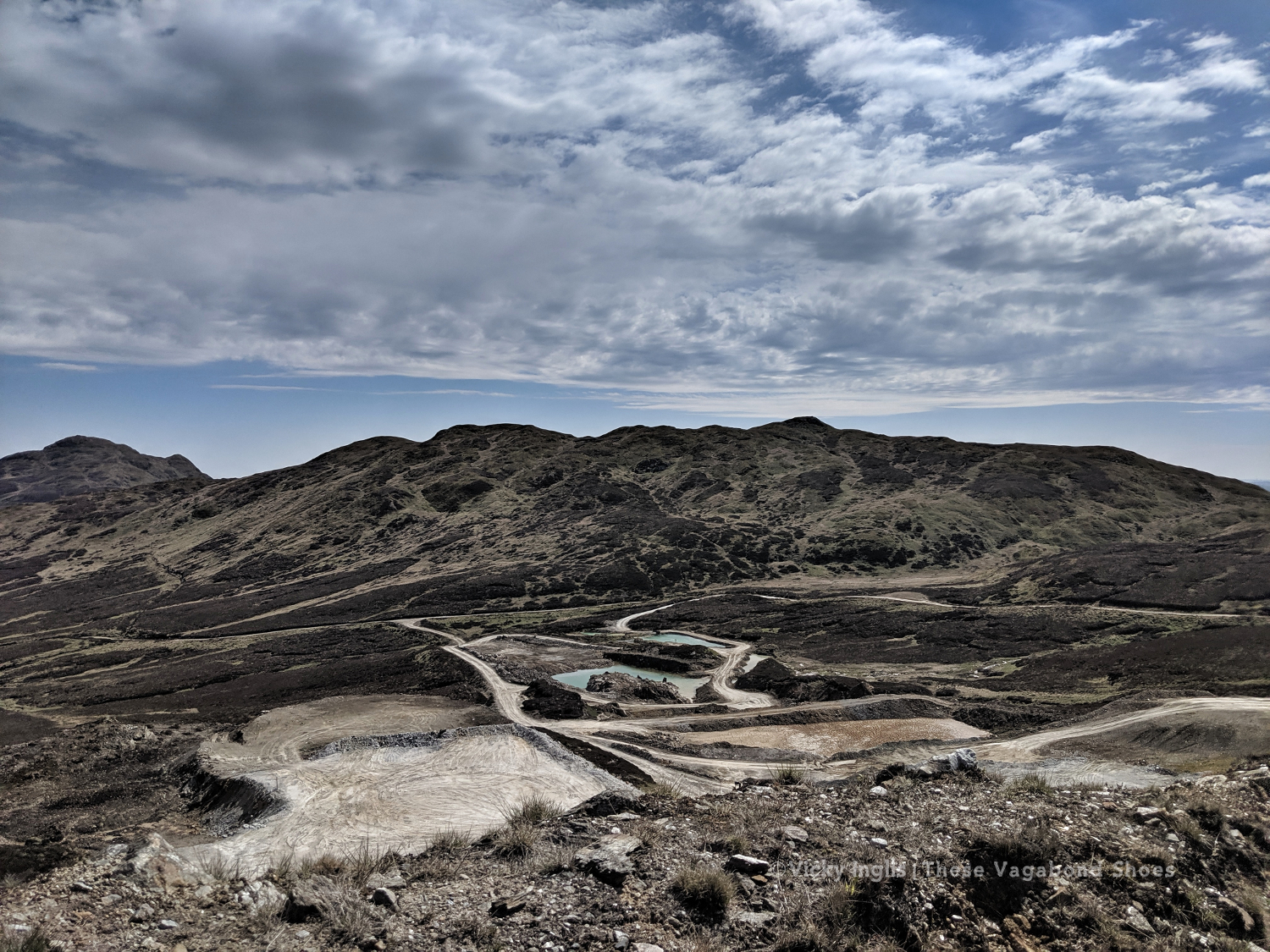
Schiehallion viewed from the top of Farragon Hill.
From Foss I headed up the track past the mine works to the tops of the Corbetts of Meall Tairneachan and Farragon Hill, bashing through the heather when the track ran out. The descent towards Strathtay was a little challenging, not least when I received a marketing call from my mobile phone provider on a steep section. I thanked them for their network coverage but suggested it wasn’t the best time to talk to them.
The way down the eastern side of Farragon Hill.
Old hill tracks on the side of Beinn Eagagach.
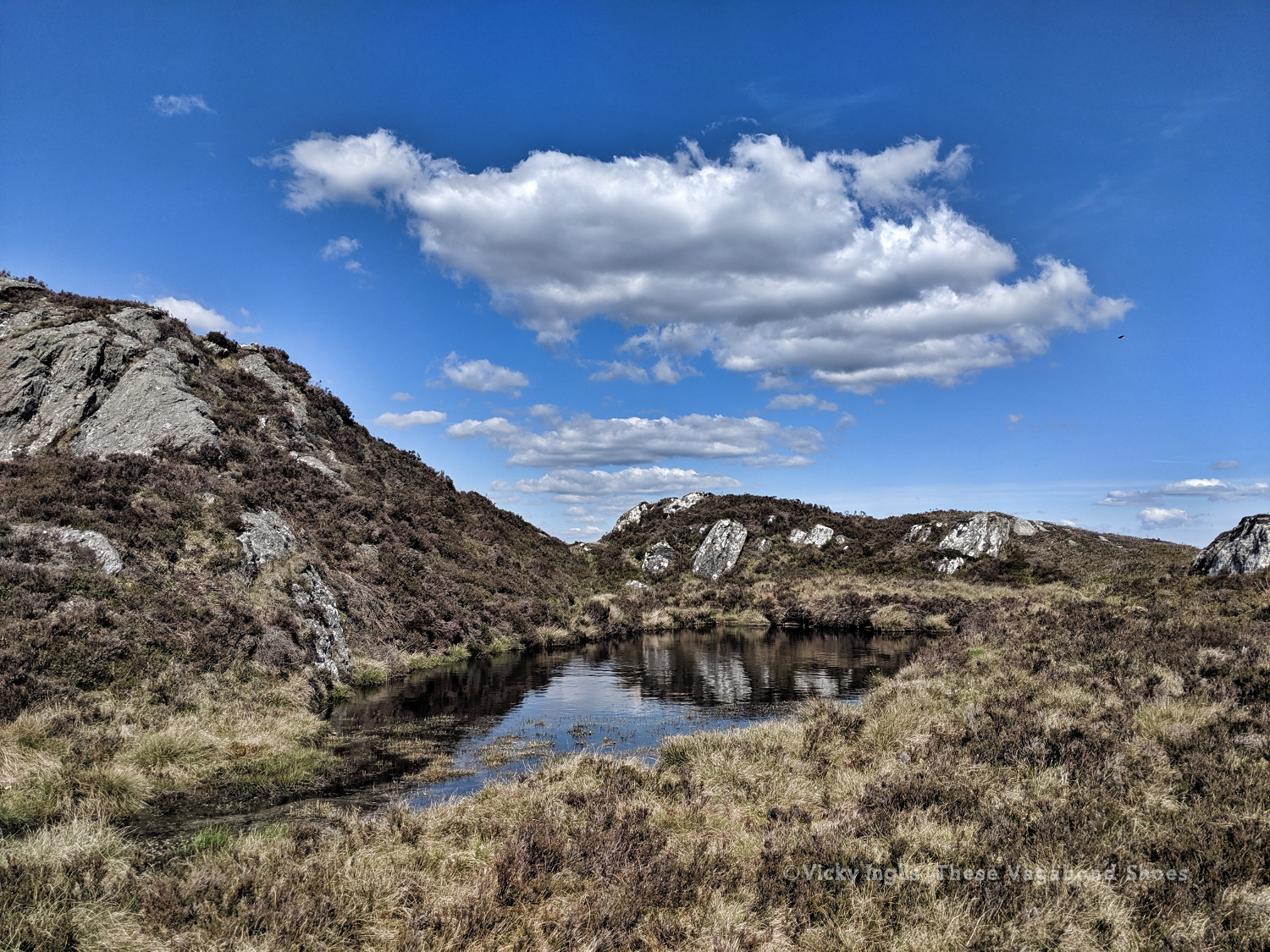
Lochans and bogs, oh my!
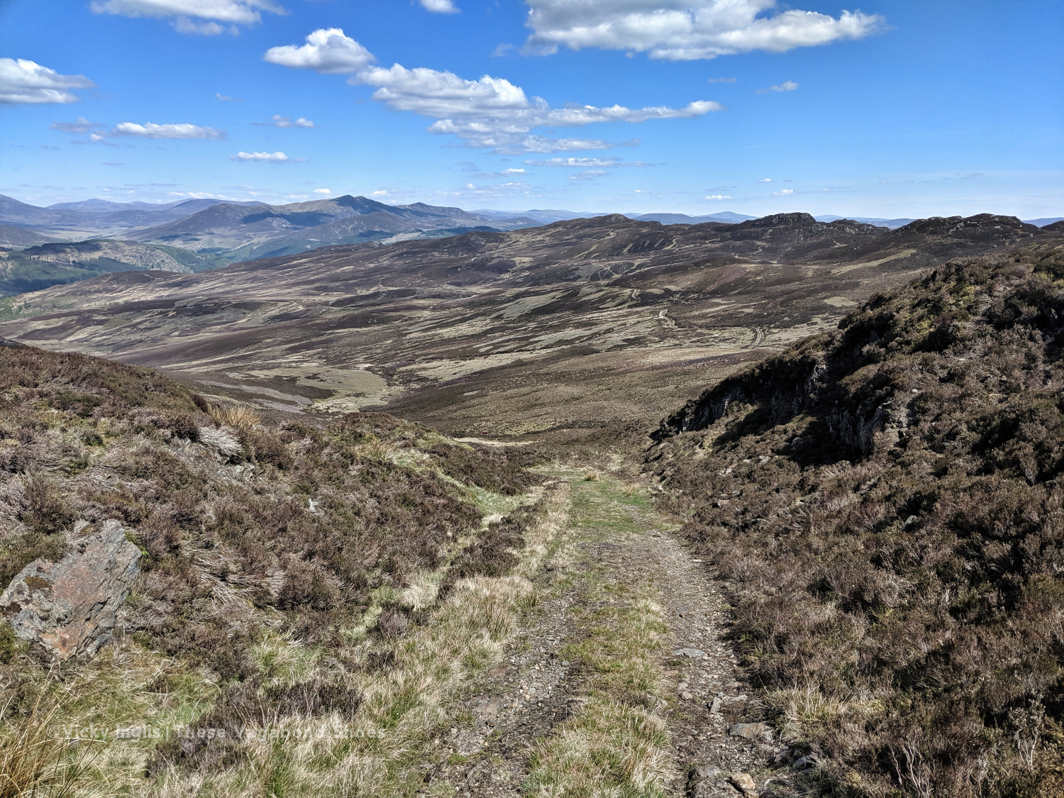
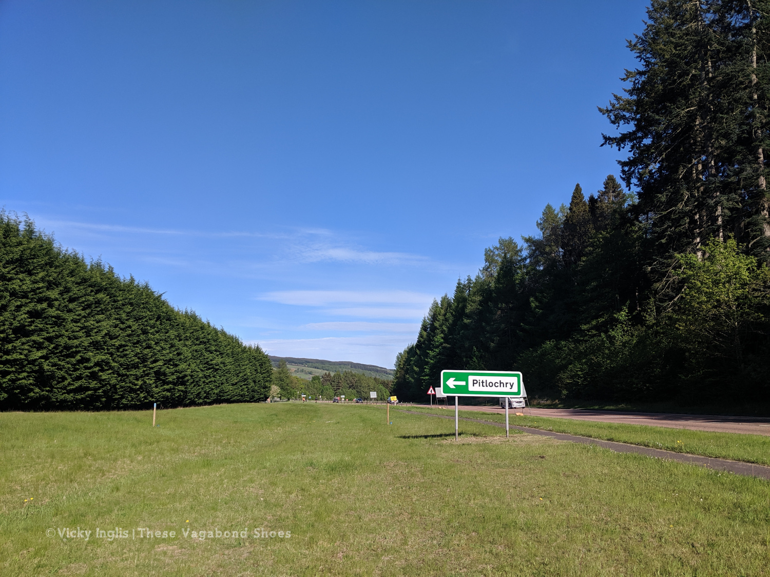
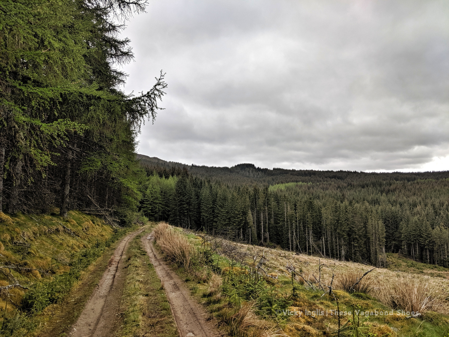
After reaching the hill track, I went around the shoulder of Beinn Eagagach, then followed the ridge of hills between Strathtummel and Strathtay. Just a little bit of bog scrambling, a lot of heather bashing, and being stalked by some deer as I went. From Clunie Woods, glad to get a bit of shade, I descended to meet the end of the Rob Roy Trail, crossed the A9 and reached Pitlochry.
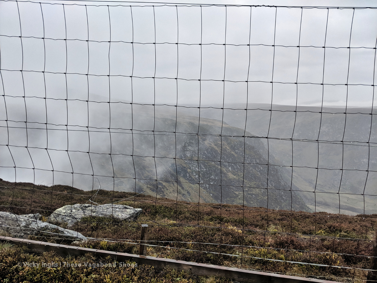
The deer fence between Creag a’ Coire and Clunie Wood
Crossing the A9 with the end in sight
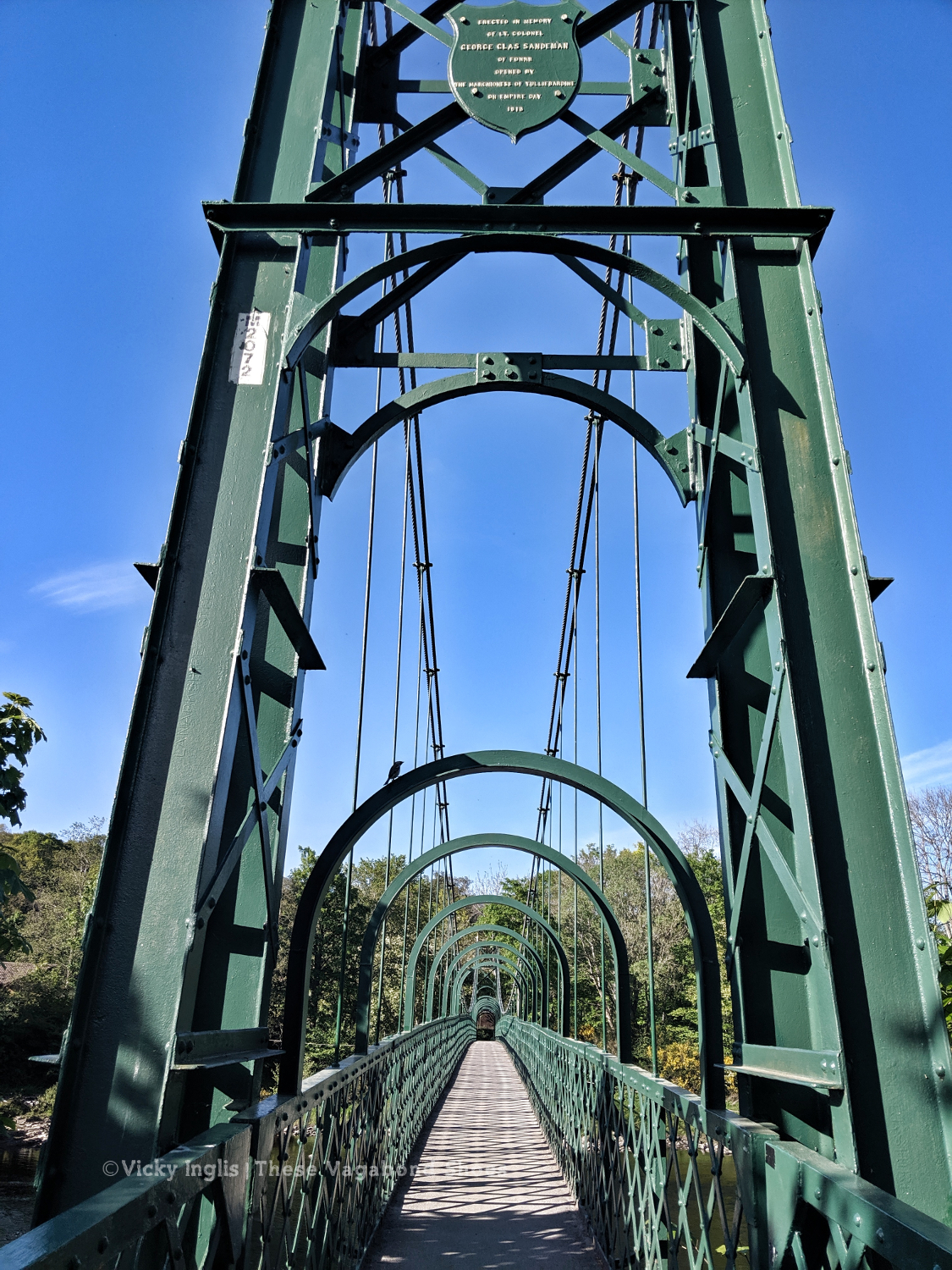
The suspension bridge over the River Tummel.
Saturday 18/5
TGO Day 7: Pitlochry to the Lunch Hut (Cateran Trail)
Distance: 22km
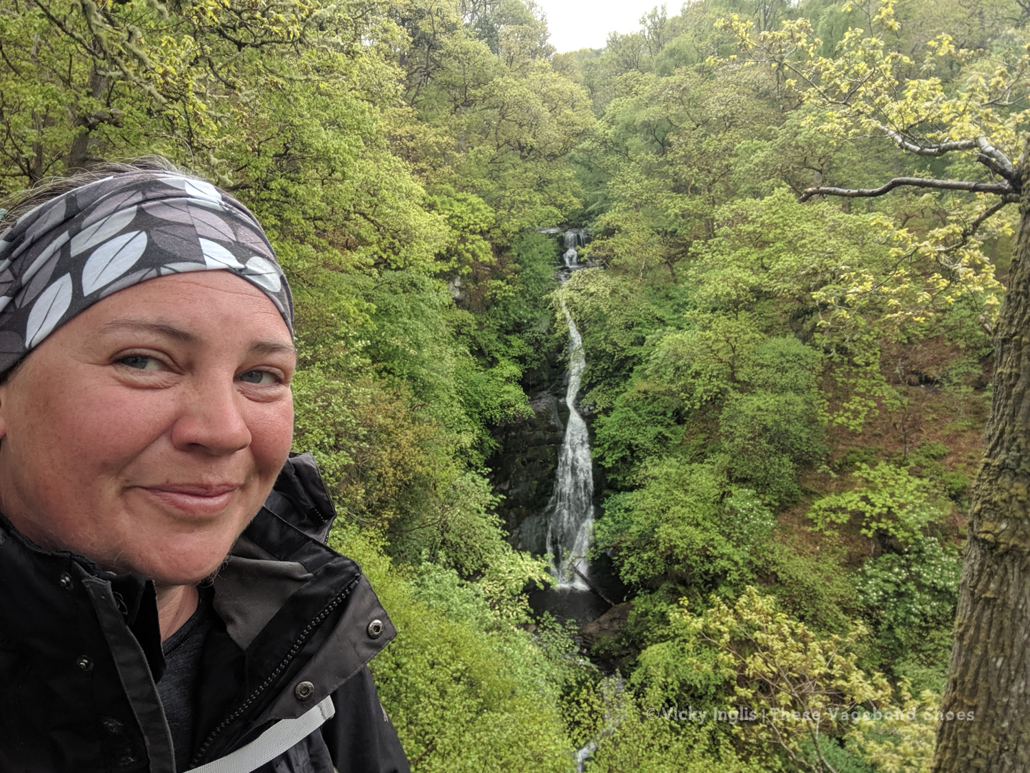
At the Black Spout, after the first rain in a week.
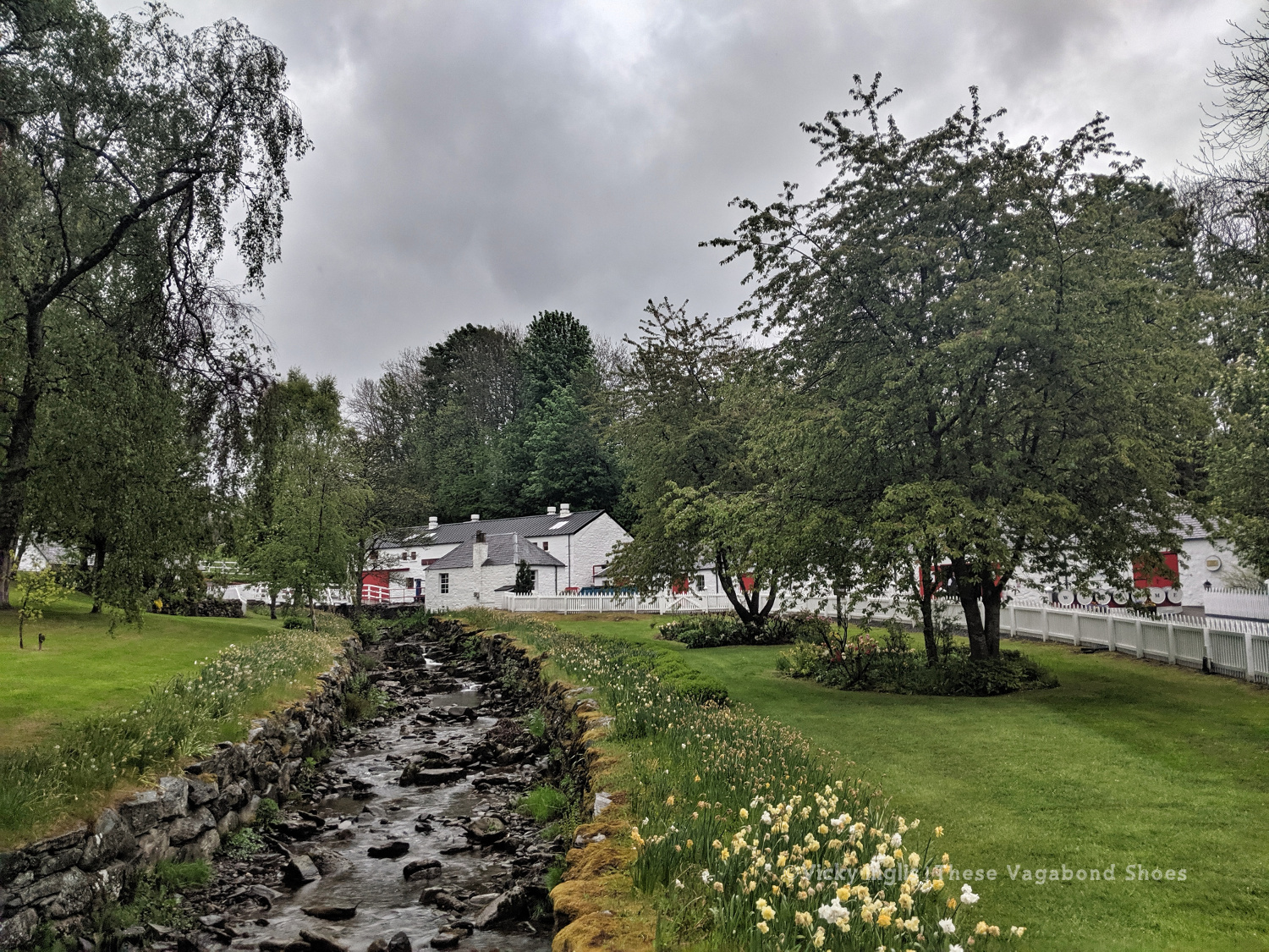
Edradour distillery
A last glimpse of Pitlochry.
Well, it would have been unrealistic to expect the fine weather to last for the full fortnight of the challenge. Shortly after reaching my accommodation in Pitlochry, the sky turned the colour of a bruise, and the rain thundered down through the night. So I was particularly glad I was indoors overnight and didn’t have to pack up a soaking tent before I started walking in the morning.
Swirling pollen in the puddles.
The first rain for a week washing away pine pollen.
The forestry road through Pitcastle Woods
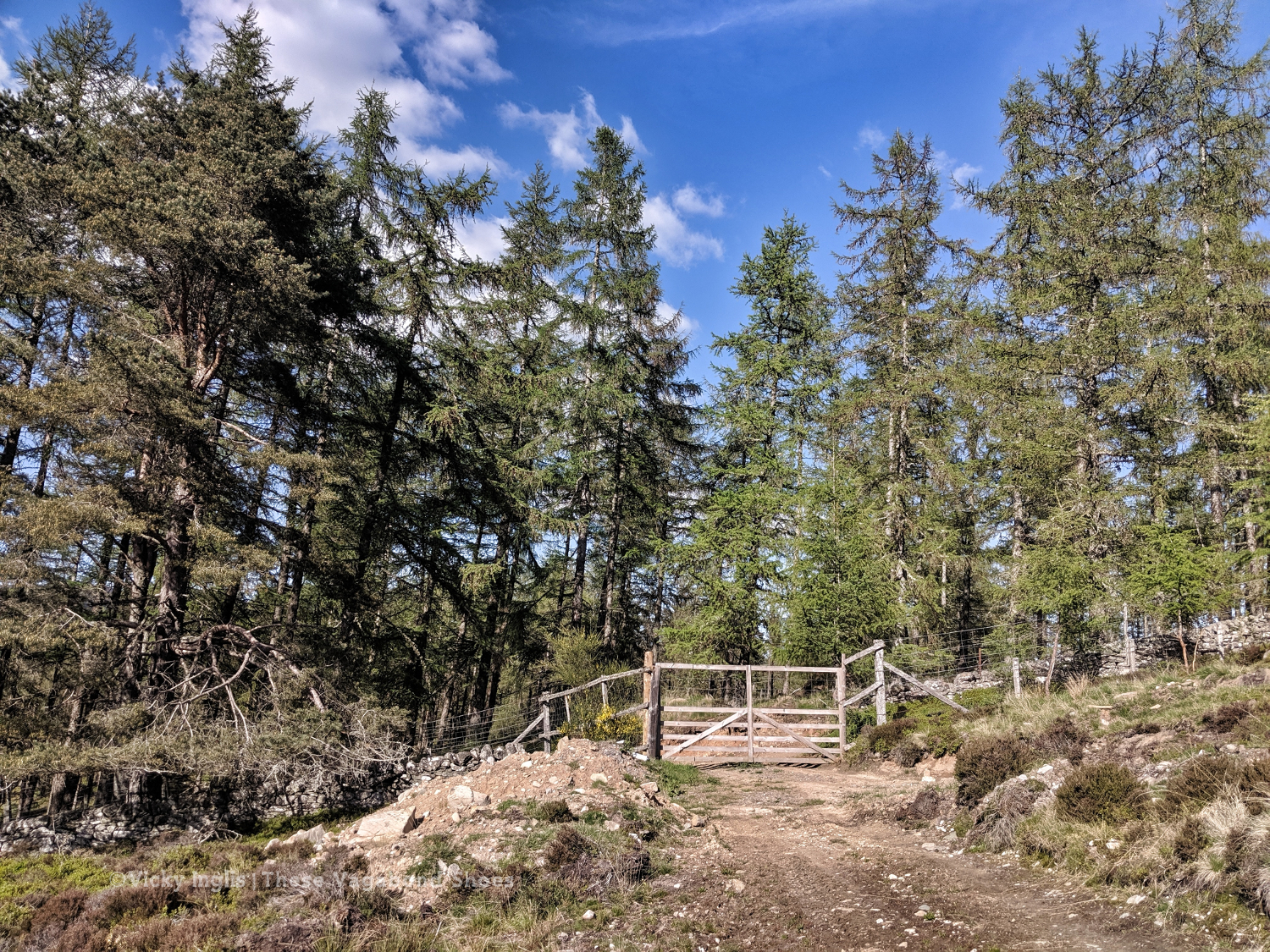
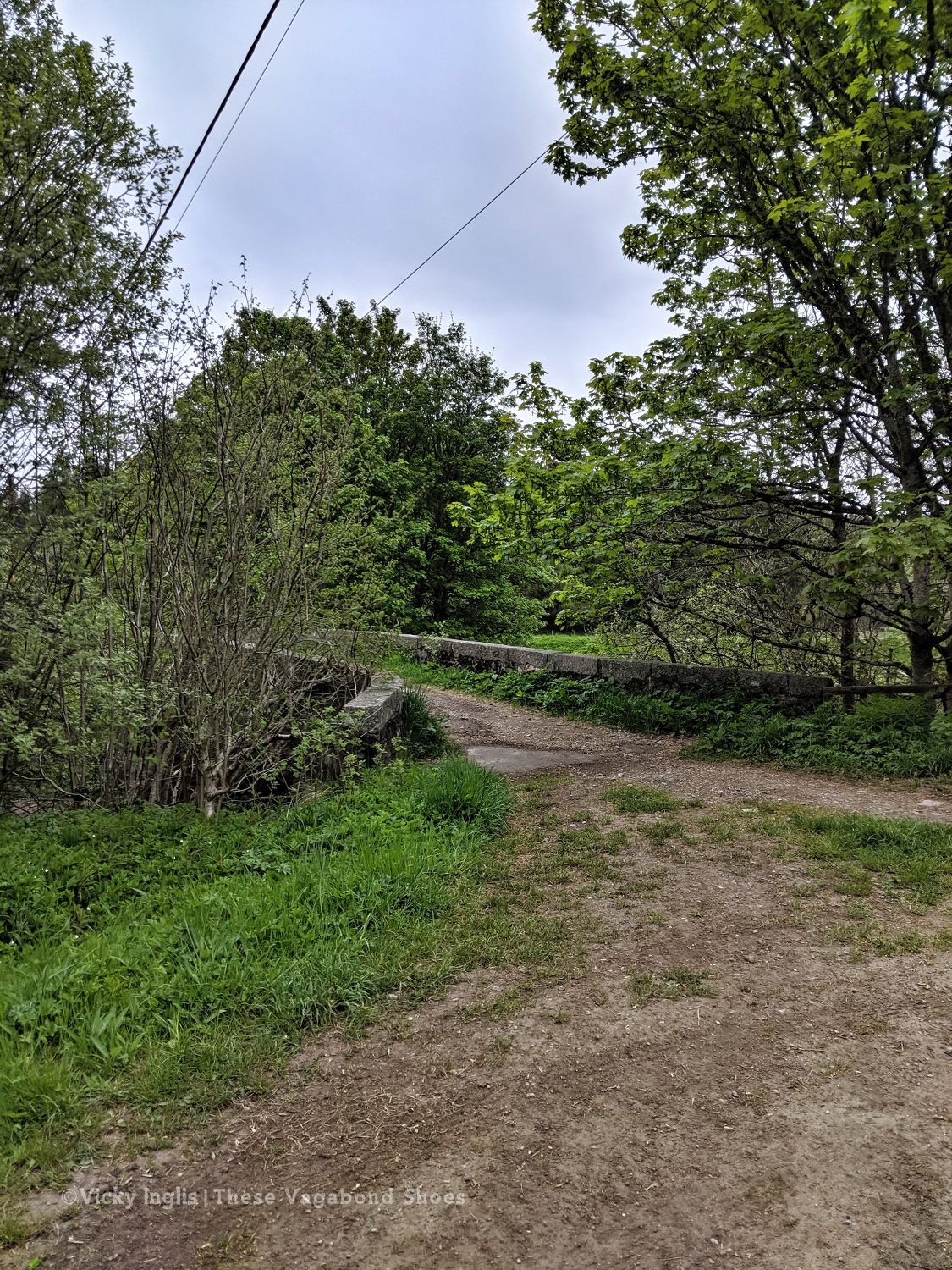
I made my way through town to the Black Spout waterfall, through the woods to Edradour Distillery. At this point my route became a little bit freestyle, crossing grazing land on the side of Tom Beithe until I entered the forest and could pick up forestry tracks. then through the forestry land to Enochdhu, climbing a few deer fences on the way. Picked up the Cateran Trail to head to the Lunch Hut bothy, where I met the first other challengers I’d seen since I’d seen the Danes taking a coffee break at Rannoch Station.
The forestry road through Kindrogan Woods
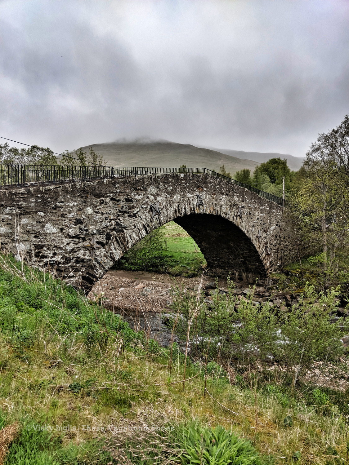
Crossing the bridge in Enochdhu
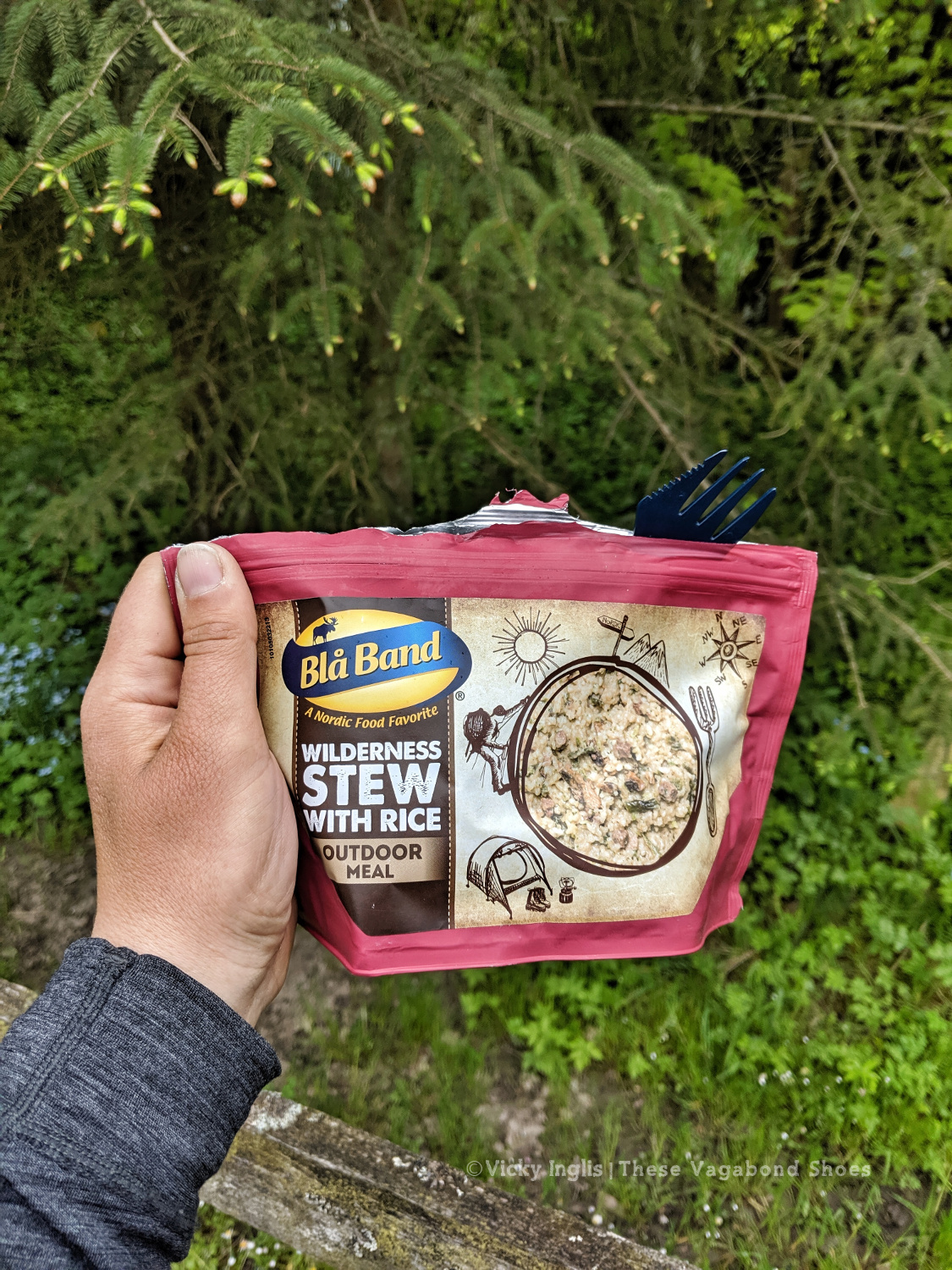
Treating myself to a fancy dinner to make up for the damp weather.
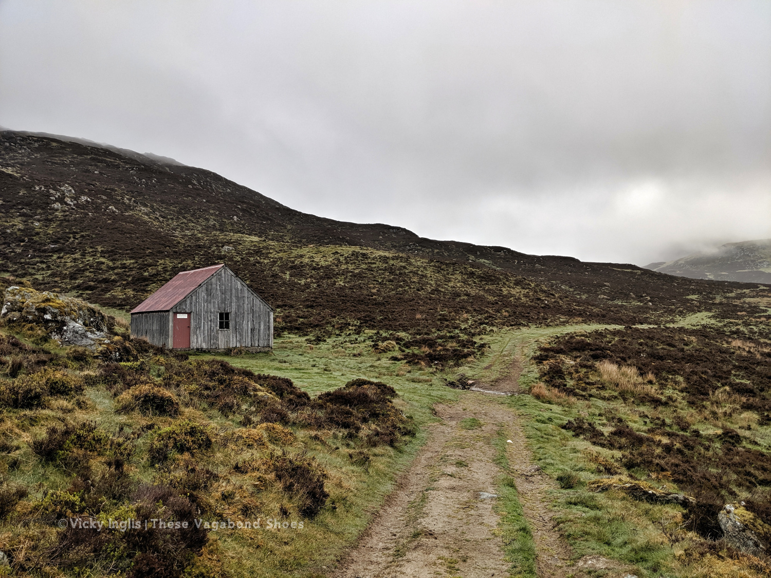
The Lunch Hut bothy, home for the night.
Sunday 19/5
TGO Day 8: The Lunch Hut (Cateran Trail) to Glen Doll
Distance: 31km
Ascent: 1734m
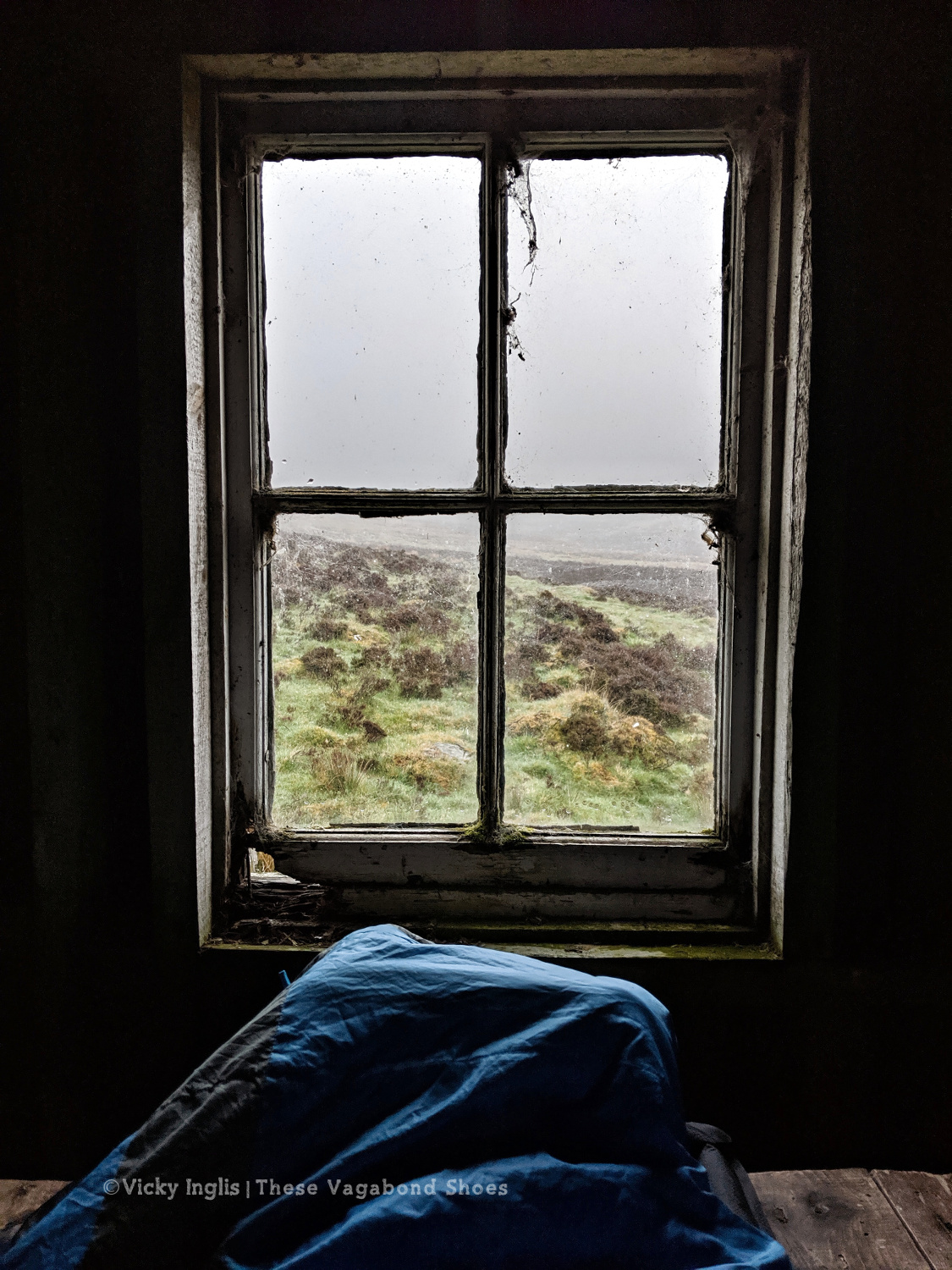
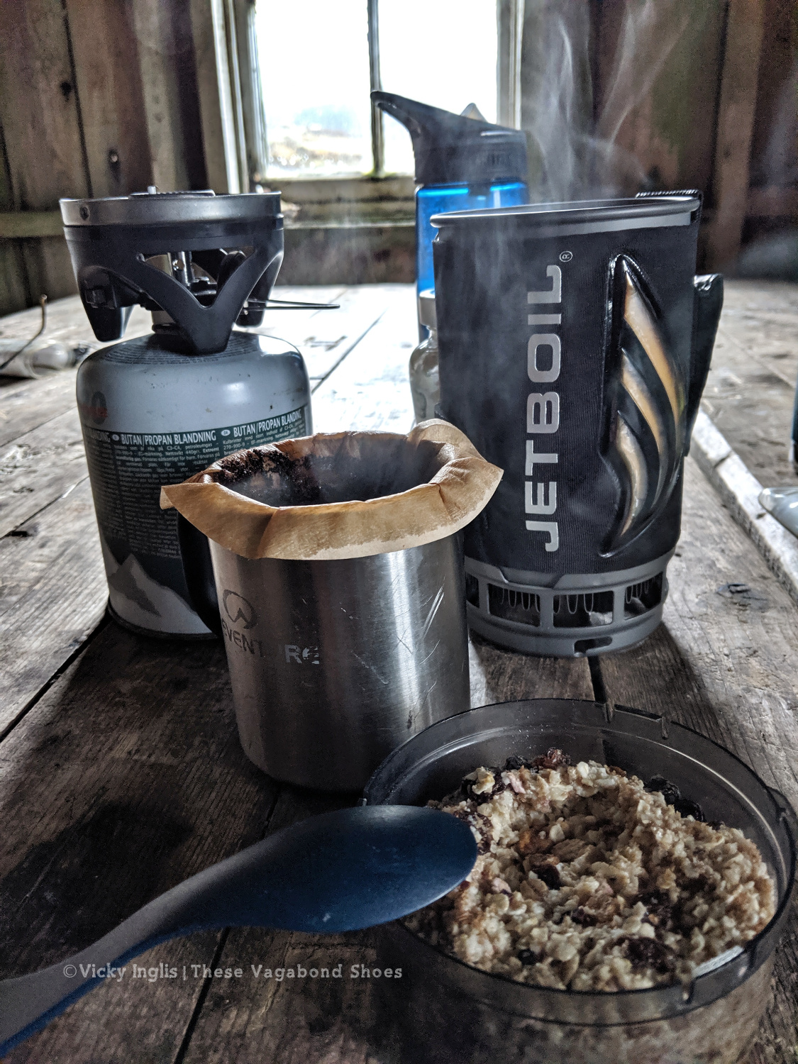
Two things contributed to my early wake-up, the slow deflation of my air mat through the night finally reaching the point where my hip touched the tabletop I was lying on, and a sheep bleating incredibly loud and close to the bothy. I gave it a hard Paddington stare through the broken window, then had the thought this is how a horror film would start. I whispered an apology to the sheep, so as not to wake my two bothy mates.
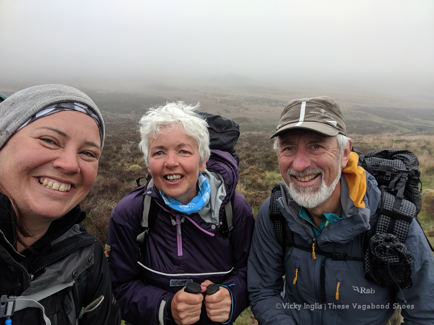
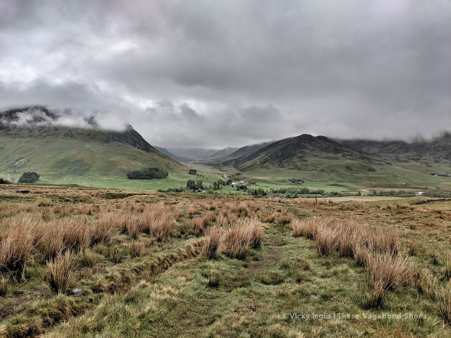
Overnight the fog had come in thick, obscuring everything further than 50 metres from the bothy. This wasn’t good, as I’d planned to head up high from Glen Shee, following hill tracks to start with, then bashing through the heather to Mayar, before descending into Glen Doll. As I headed over An Lairig, towards Spital of Glenshee, with Emma and Simon, I started to revise my route with their suggestions.
I decided on a longer route, staying at a lower level to make solo navigation easier for much of the day. We walked together on the Cateran Trail until Runvey, then Simon and I left Emma to continue on to Kirkton of Glenisla, while we headed for Loch Beanie. There, we parted ways and I continued to ascend to the shoulder of Monamenach and down into Glen Isla.
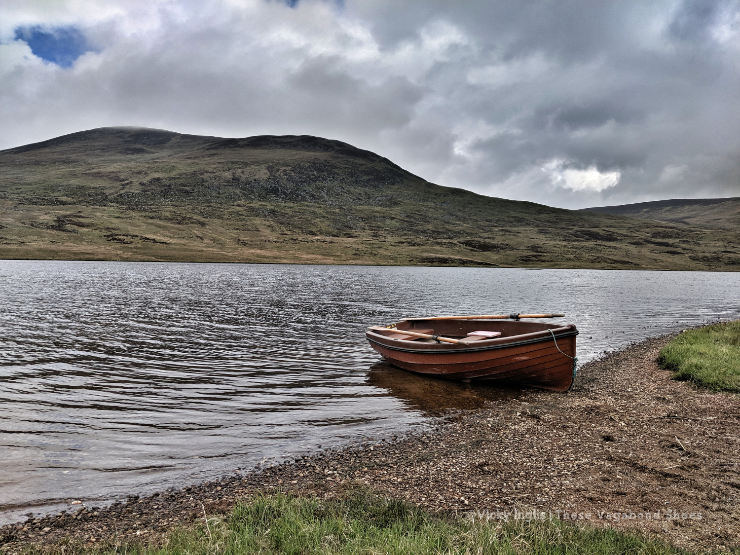
Rowing boat on Loch Beanie.
Looking towards the head of Glen Isla
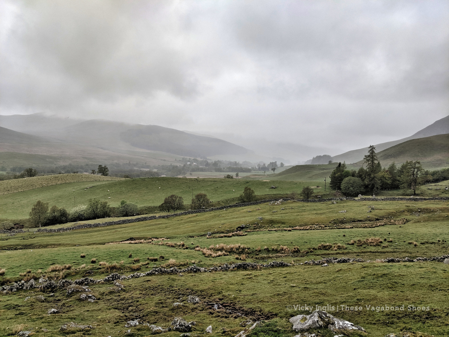
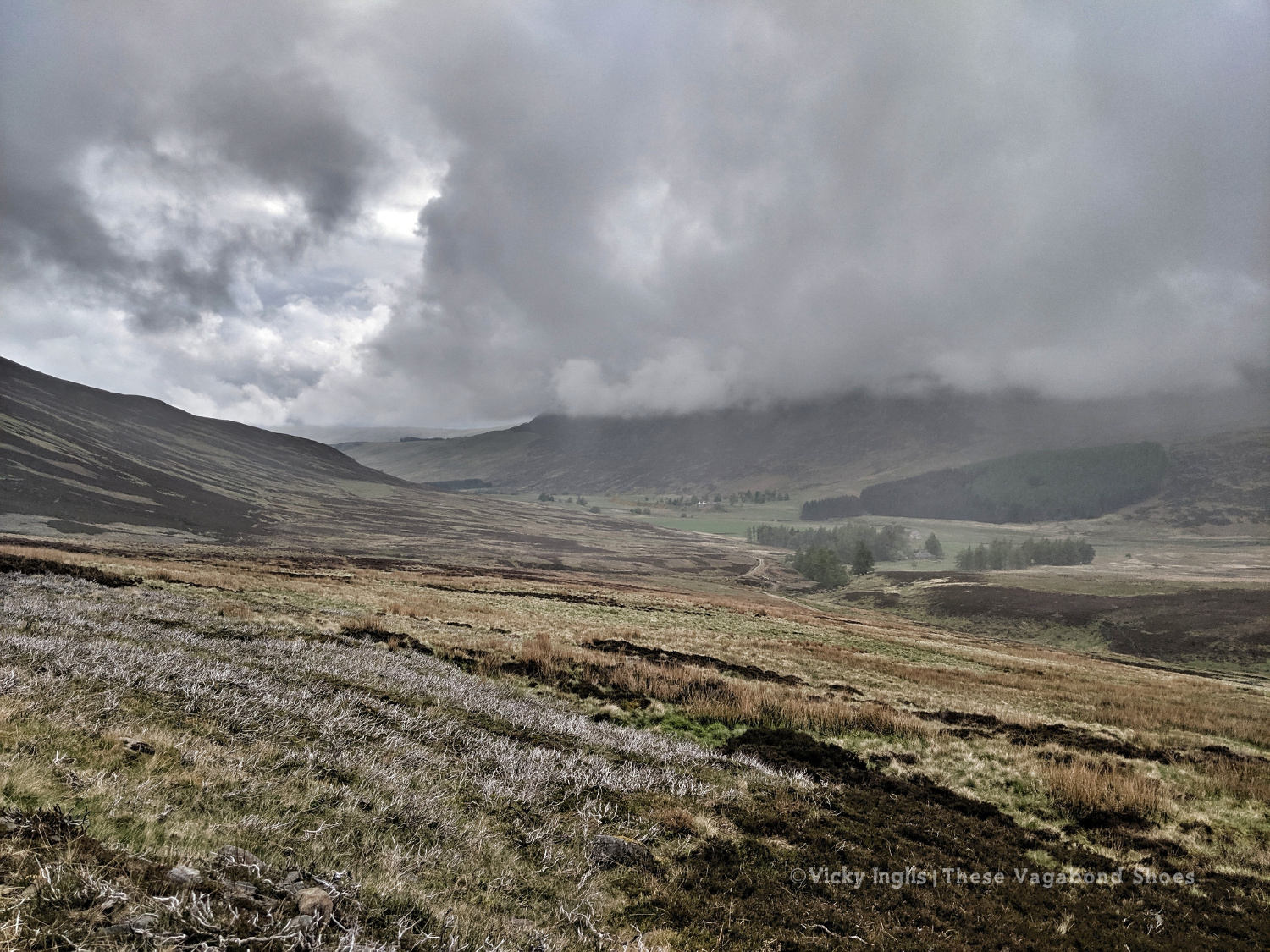
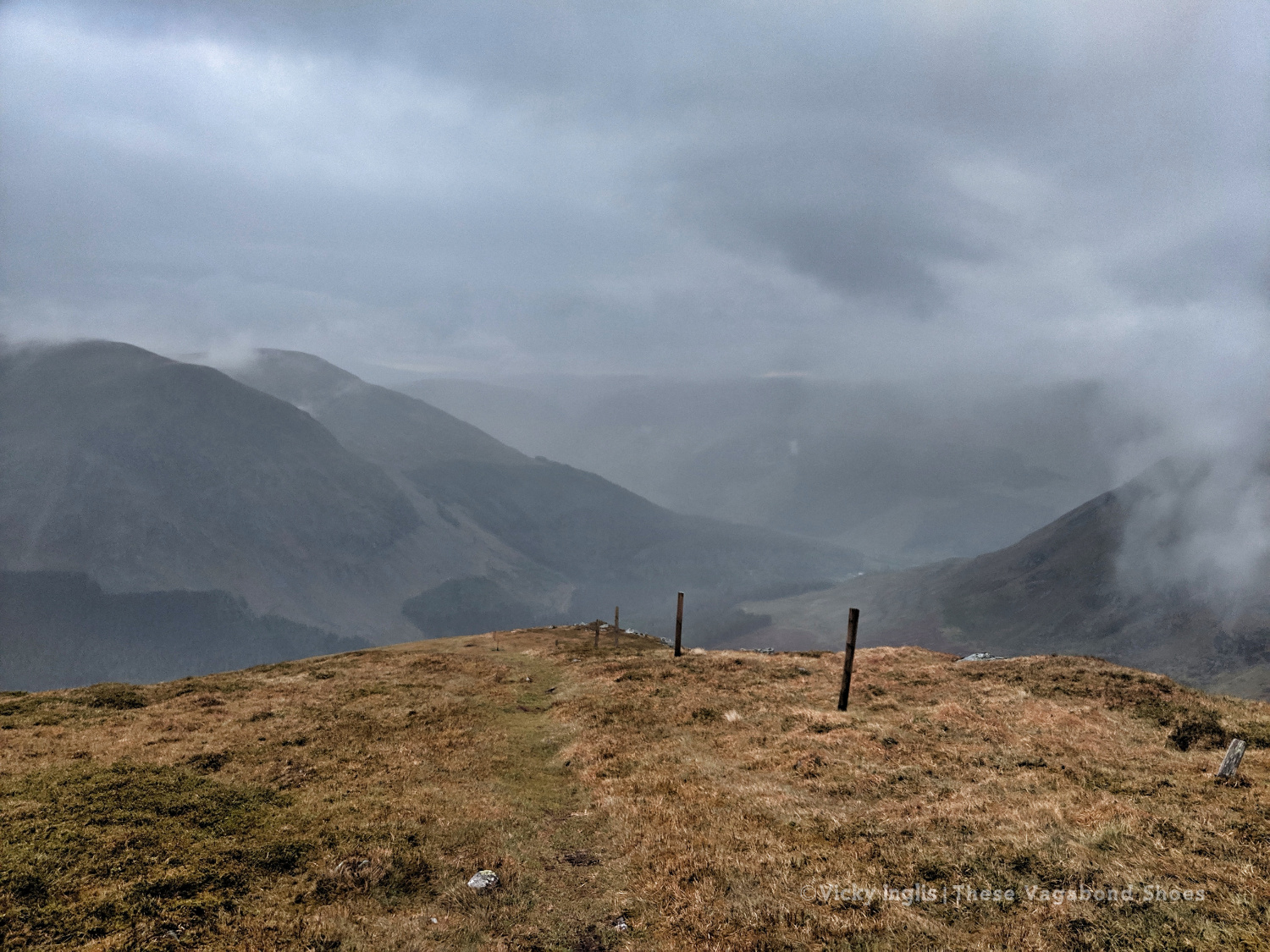
I quickly ascended out of the glen to Mid Hill and Tarmach Cairn on hill tracks, following them in an arc to Broom Hill, before leaving them behind to descend into Glen Prosen by the Glack of Balquhader. I’d been keeping a weather eye during the trek, and it hadn’t cleared on the high ground, where the last stage of the route was going to take me.
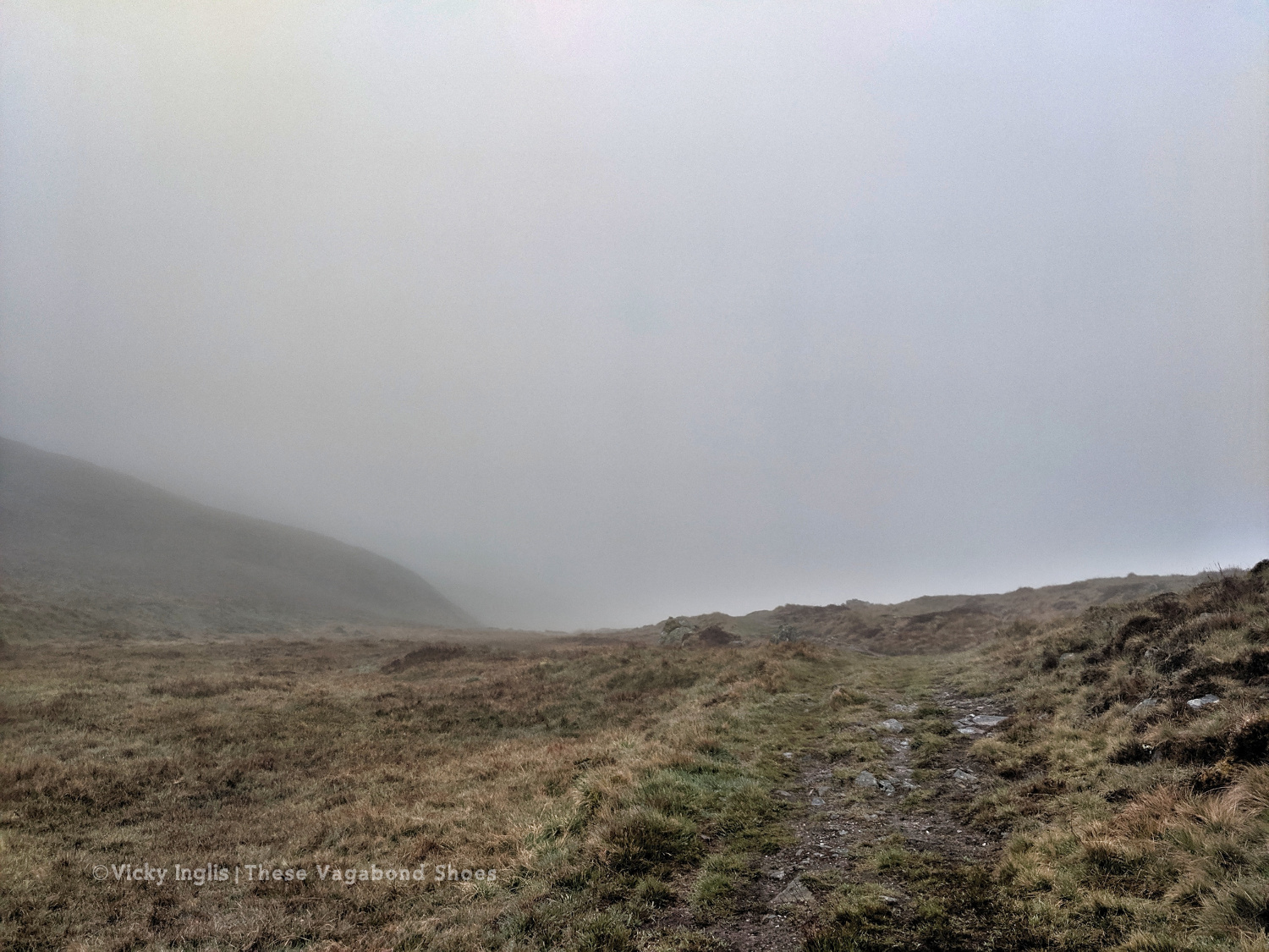
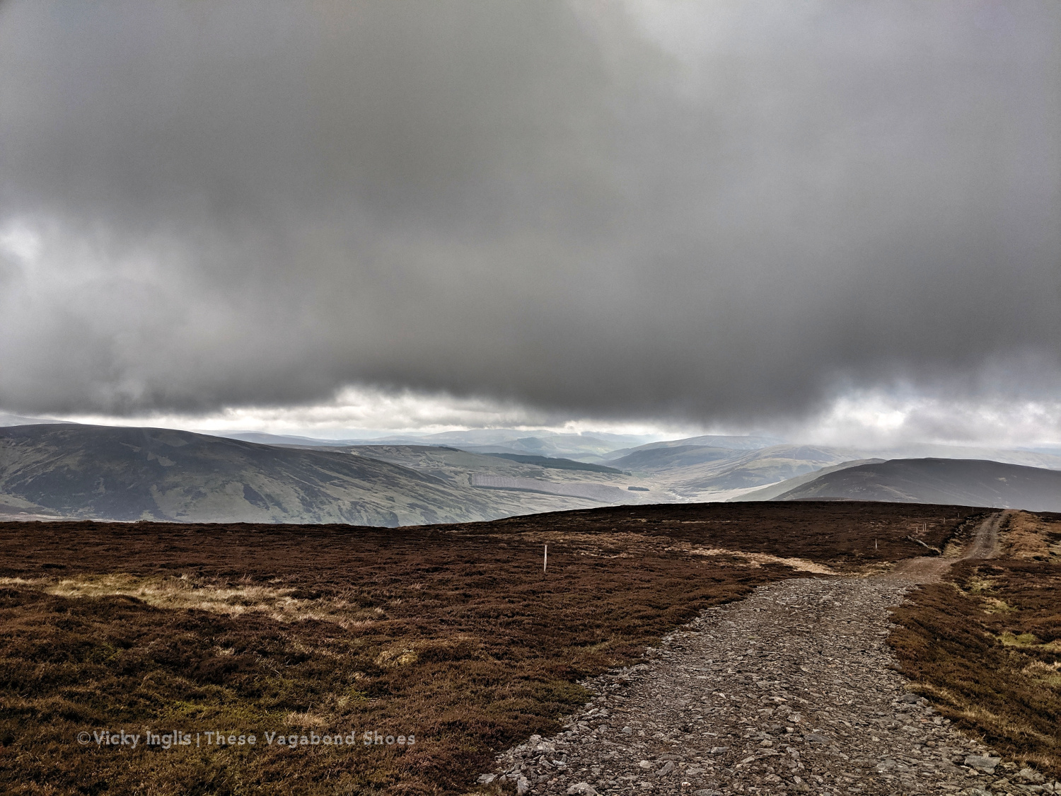
The footpath between Glen Prosen and Glendoll known as the Kilbo Path crosses the col between the Munros of Driesh and Mayar, and was the highest point of my revised route. The mist was moving in and out while I stopped for a meal, but from my memory and according to the map, the track looked distinct, so I felt confident enough to get across into Glendoll before the light faded.
Crossing between Glen Isla and Glen Prosen.
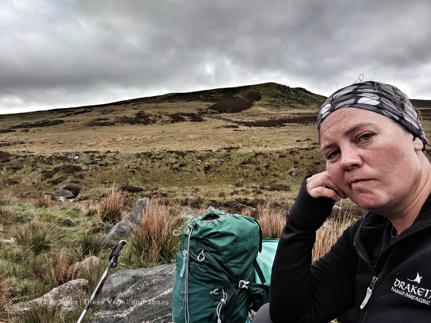
When you’re down here and need to be up there.
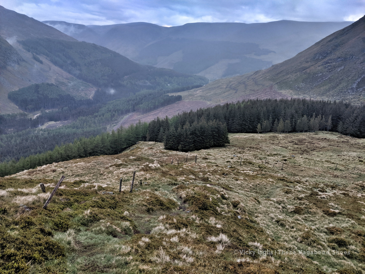
At the top of the path, the visibility closed in to be just a few metres in the cloud, but enough that I could pick out the deer fence along the back of Corrie Shalloch to handrail to the top of the descent on the Shank of Drumfollow, and make my way down into the valley. The path through the logged forestry was rough, but it meant I was counting down the last couple of kilometres to my camp. Finally, after 31km with over 1700m of ascent, getting on for 9pm, I was at the place I wanted to be.
At the top of the Kilbo Path between Glen Prosen and Glendoll.
The cloud clearing to reveal the back wall of Corrie Sharroch. Glad of the deer fence.
Descending the Shank of Drumfollow.
First glimpses of the Glendoll visitor centre, and the end of the day’s walking.
Monday 20/5
TGO Day 9: Glen Doll to the Clova Hotel
Distance: 5.5 km
I rolled reluctantly out of bed and started packing the tent away slowly. My intended route for the day was another high one, climbing up from Glen Doll to White Bents and Boustie Ley, then picking up the track above Loch Brandy to head over to Tarfside. But no amount of coffee was giving me the motivation to attempt it, especially as the glowering low cloud was still obscuring the tops.
Finally ready to go, after chatting to a conservation team preparing pack horses for heading up to work on Davy’s Bourach, I set off along the road towards the Clova Hotel. I’ve walked this road a few times, and head down, powering along is the only way. I was reliving memories of my Silver Duke of Edinburgh expedition, and the oppressive clouds started to lift. It might be ok after all.
It wasn’t. About 200 metres shy of the Clova Hotel, the clouds burst and I was nearly soaked through before I could get my waterproofs on. I stepped up my pace, and through the mirk, saw a wonderful sight. John was standing in the road with a golf umbrella, having reached the end of his road trip, decided to come and check up on how I was doing.
Whisked off for a huge pancake breakfast and more coffee at Peggy Scott’s in Finavon, I checked the weather forecast. While the coast was going to be dry and sunny, the heavy rain was slowly creeping across the glens for the rest of the day, a big blue dot sitting directly over the Mounth. As I still had a day in hand to finish the challenge, I called it and decided to bail out the rest of the day and continue the following morning.
Read the next instalment of my TGO journal here, and catch up on the previous entry here.