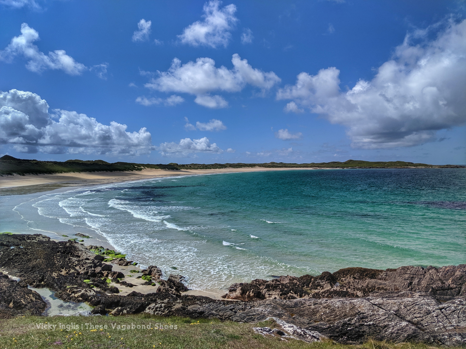
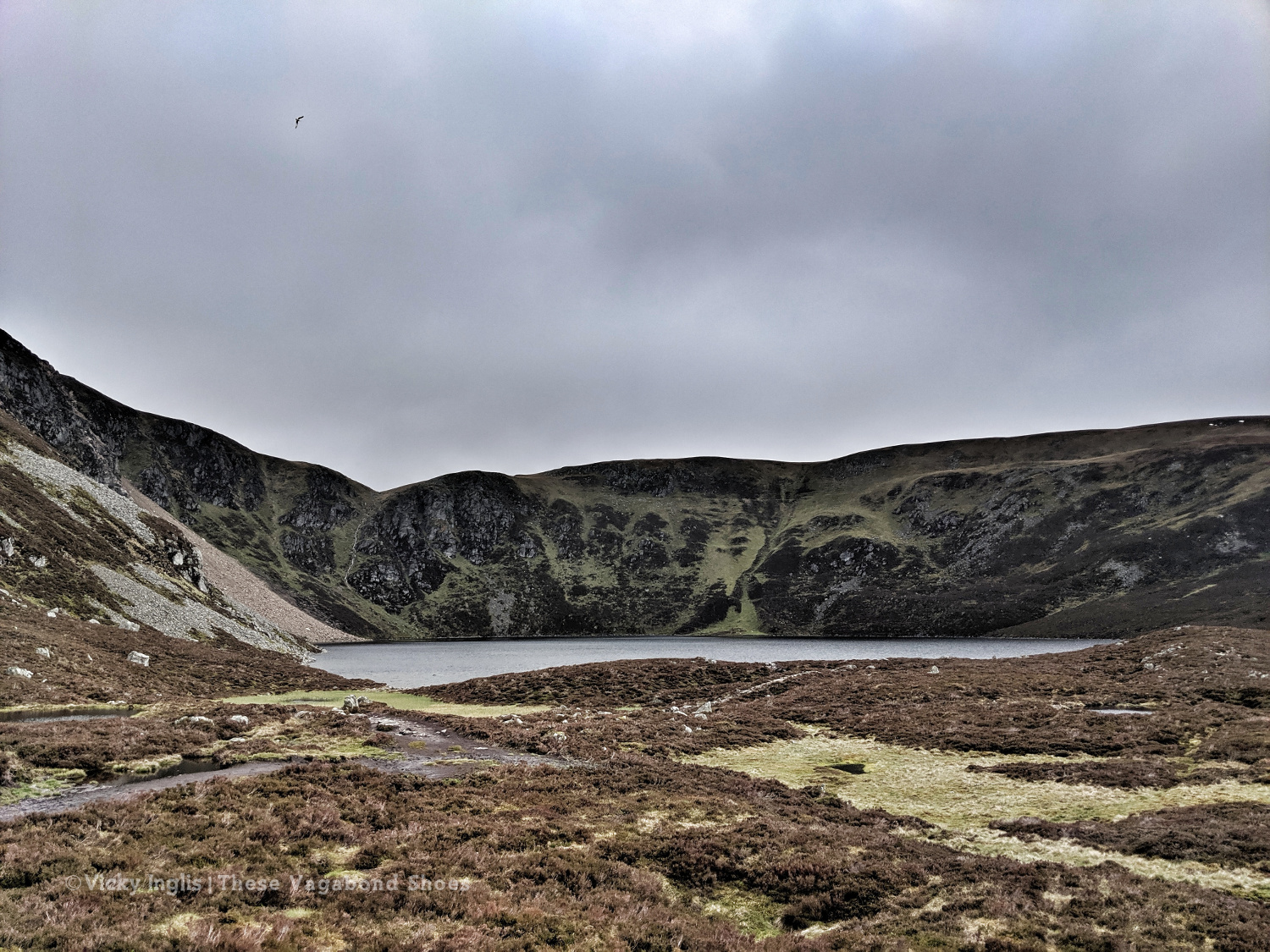
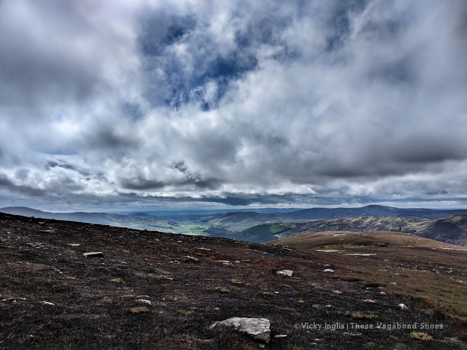
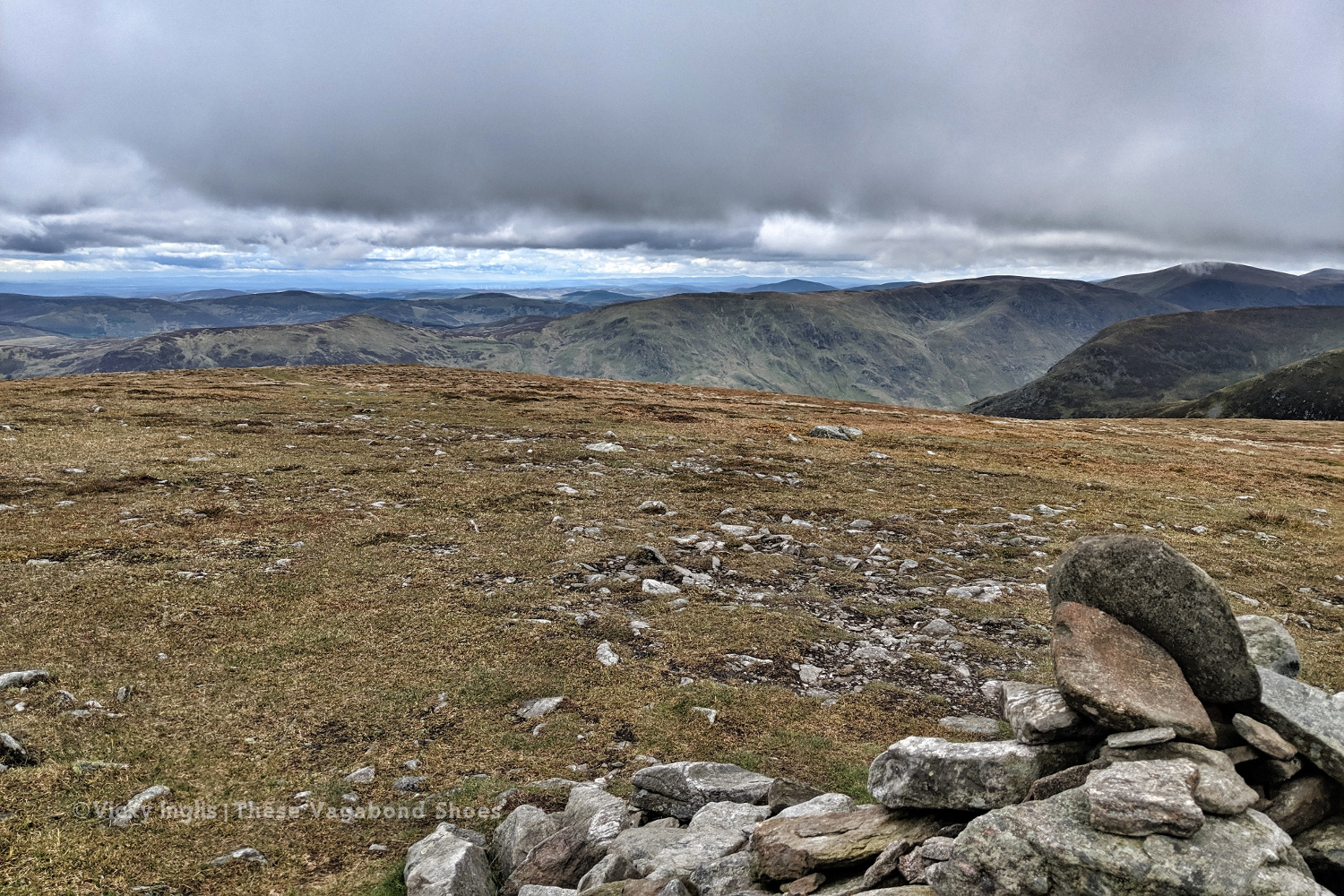
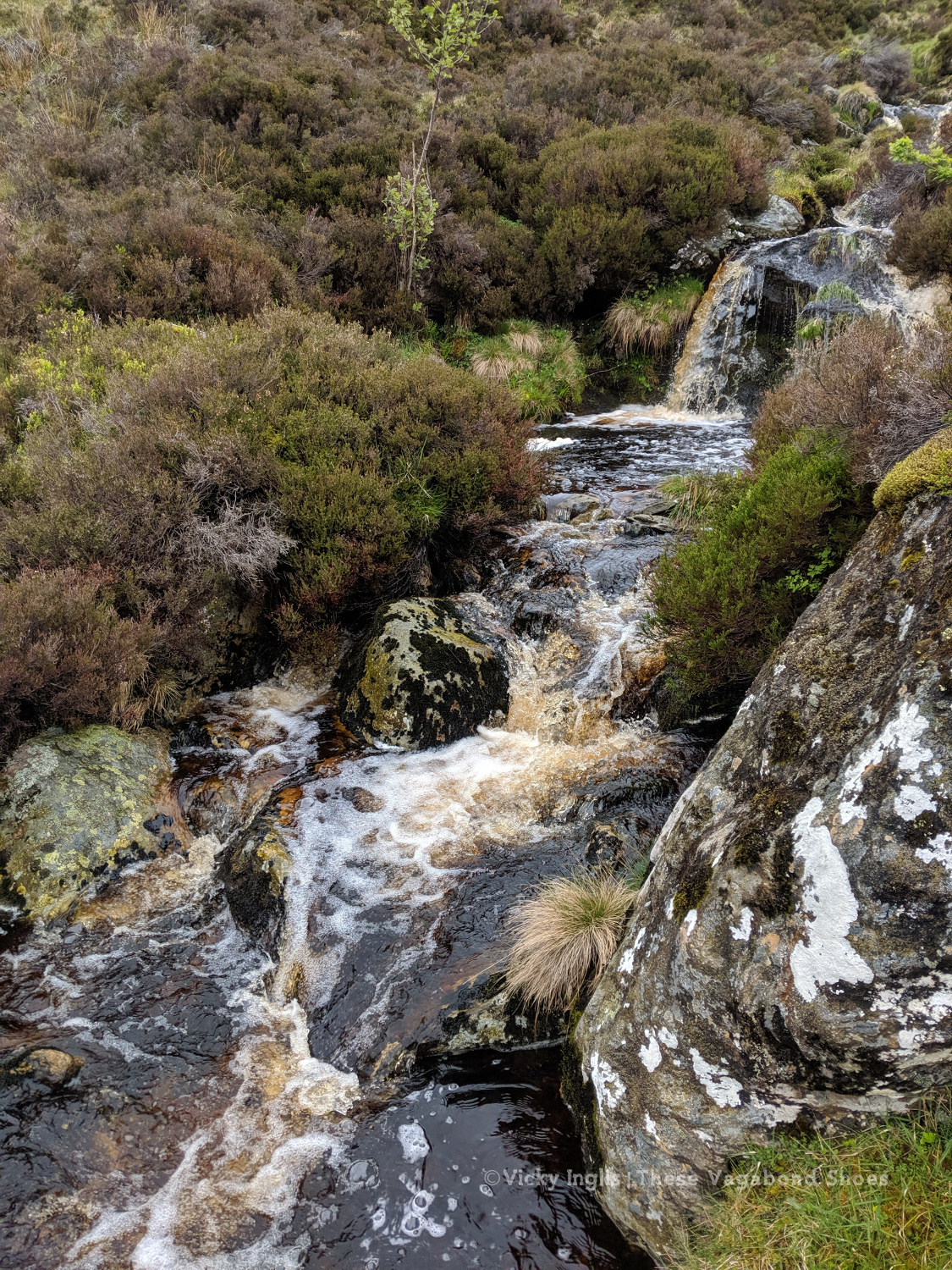
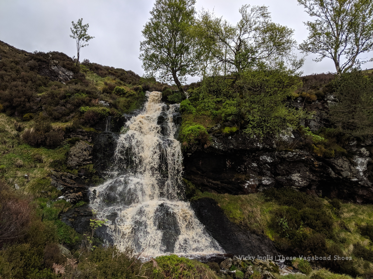
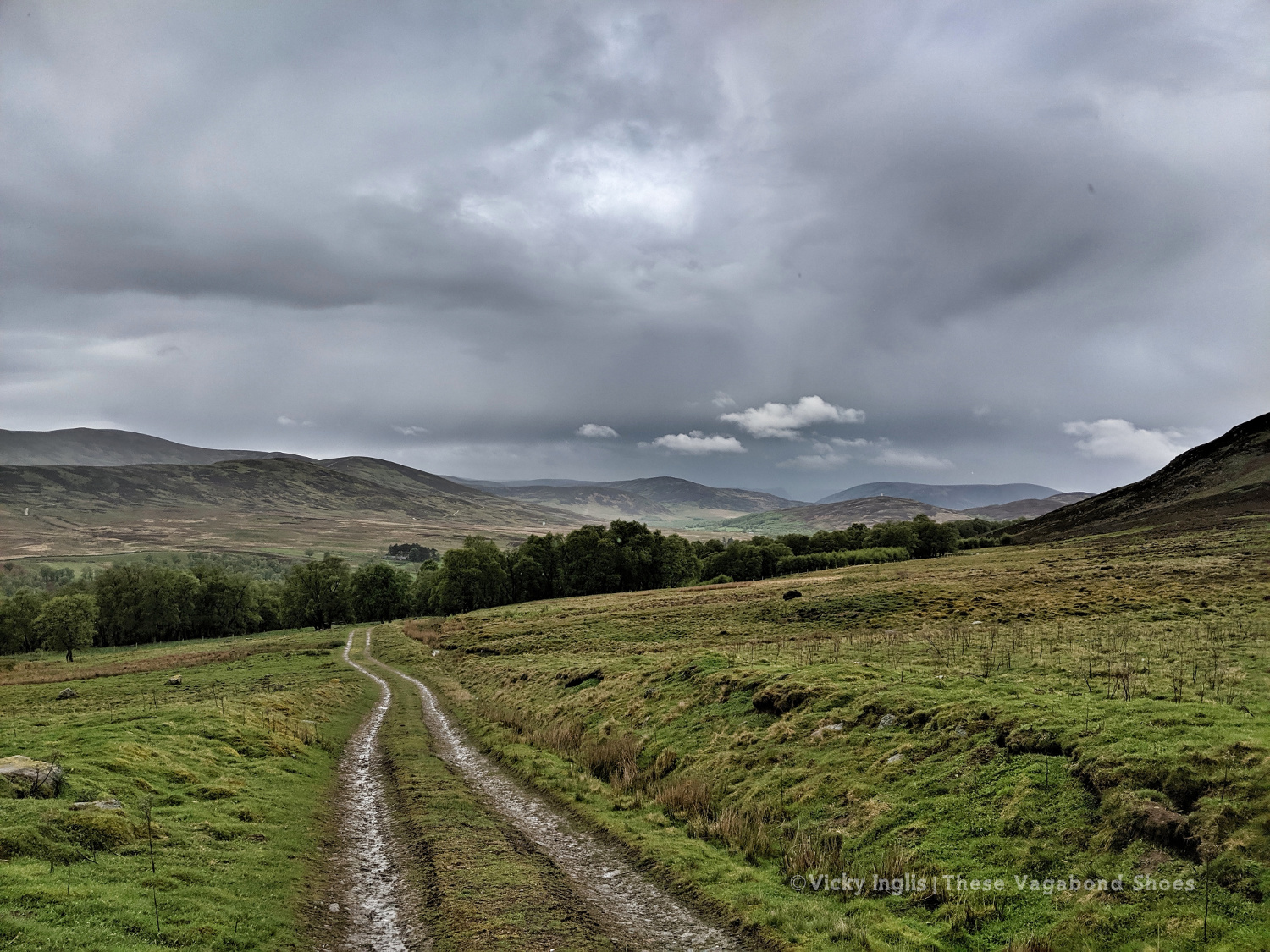
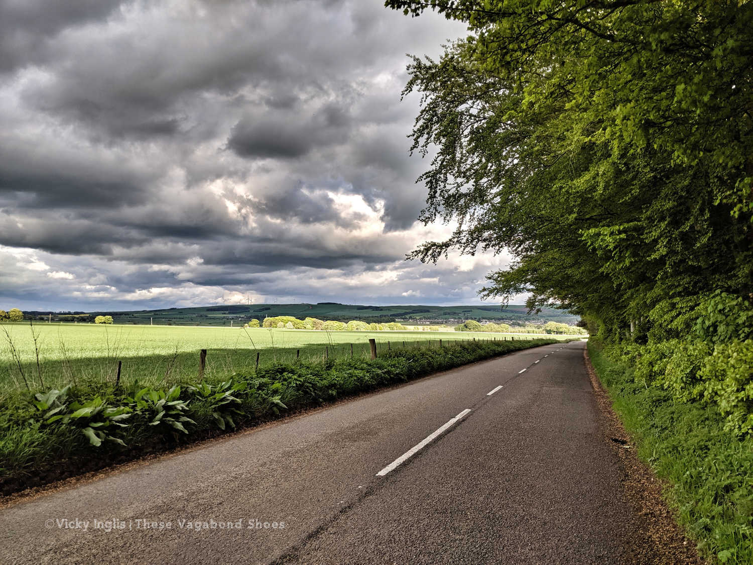
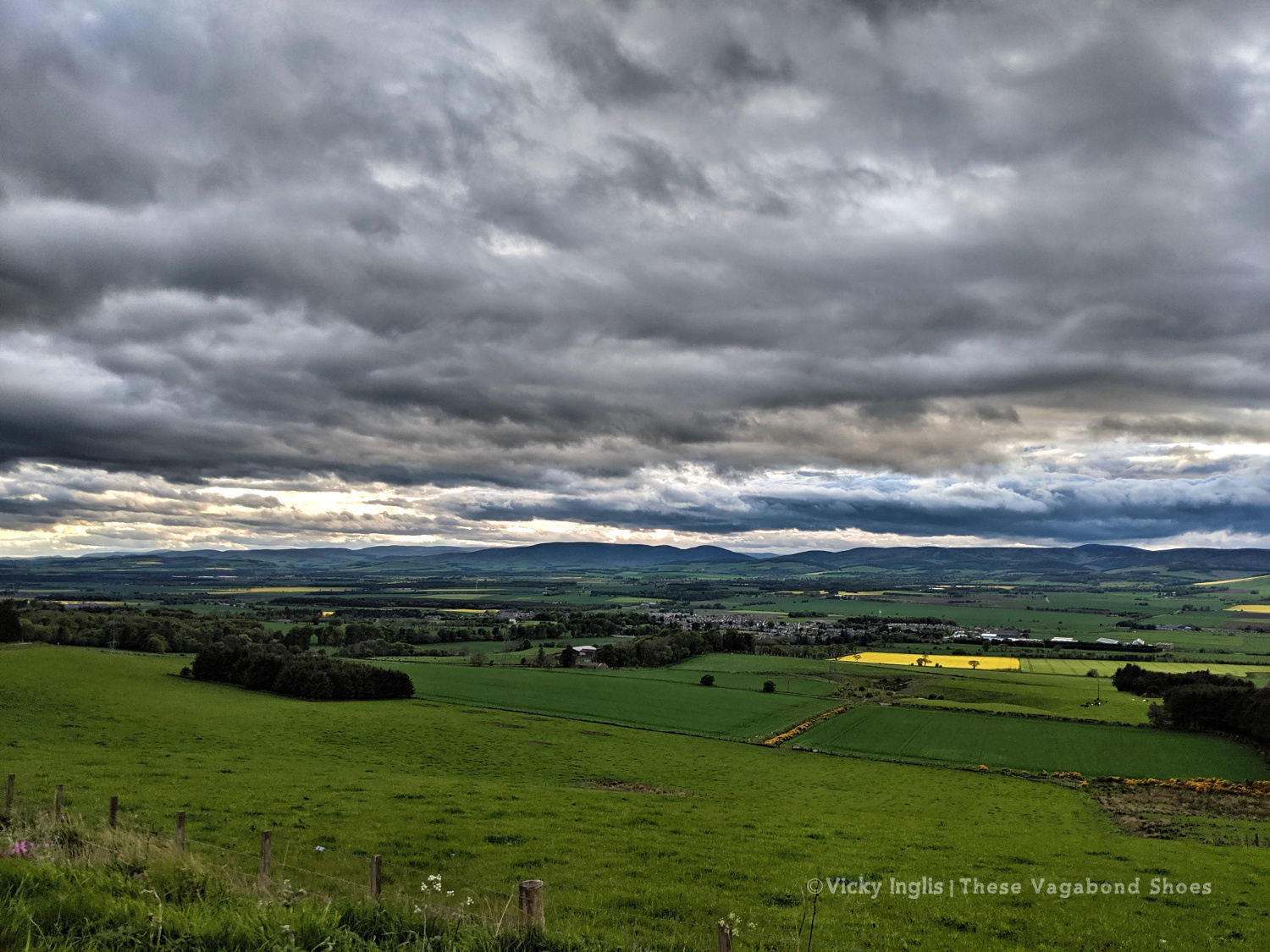
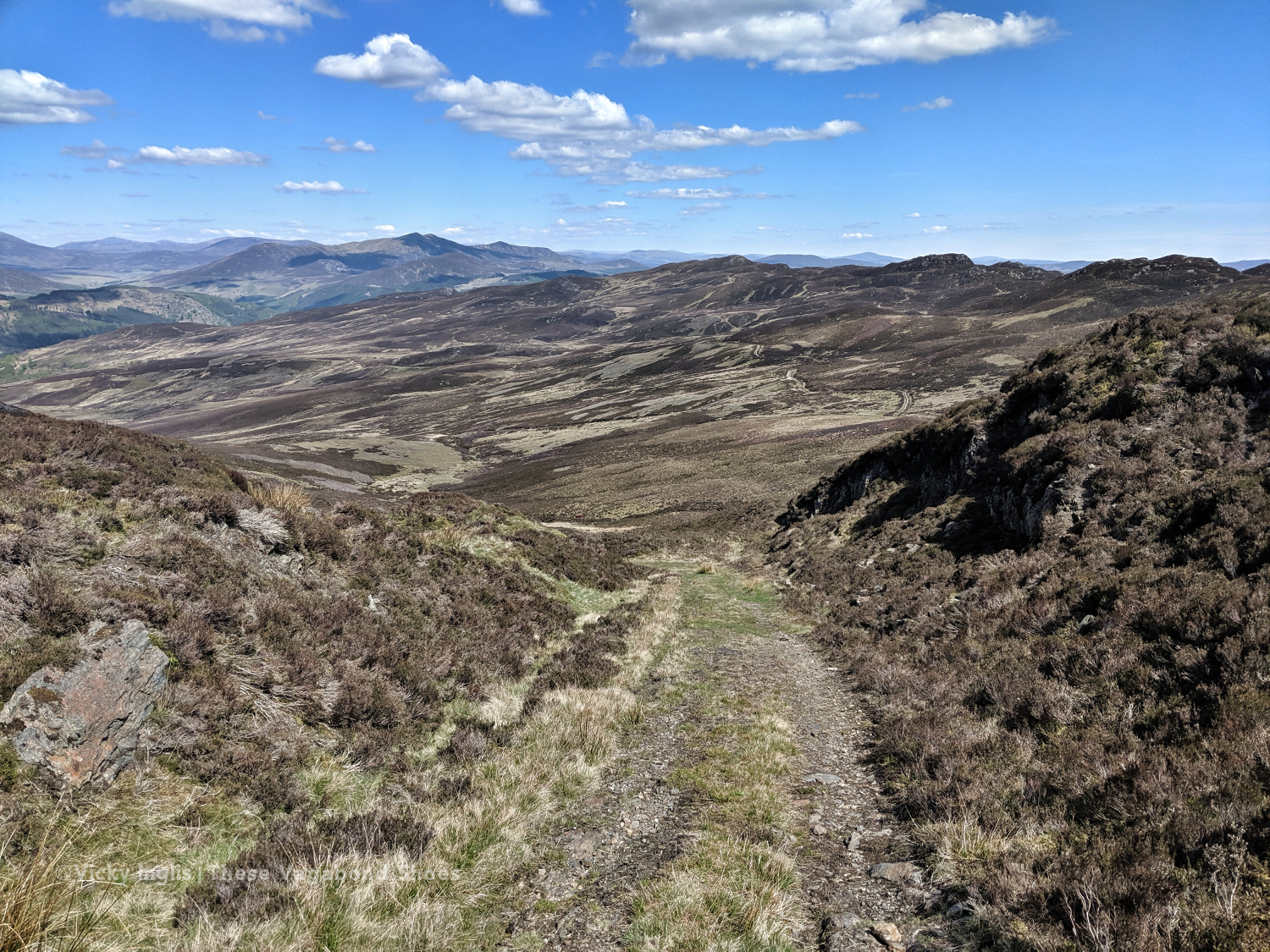
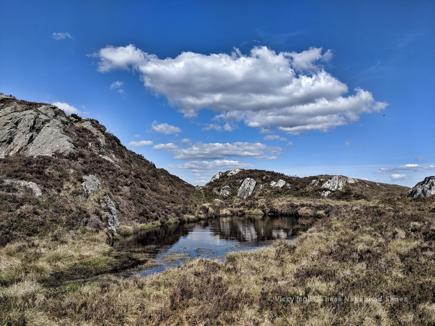
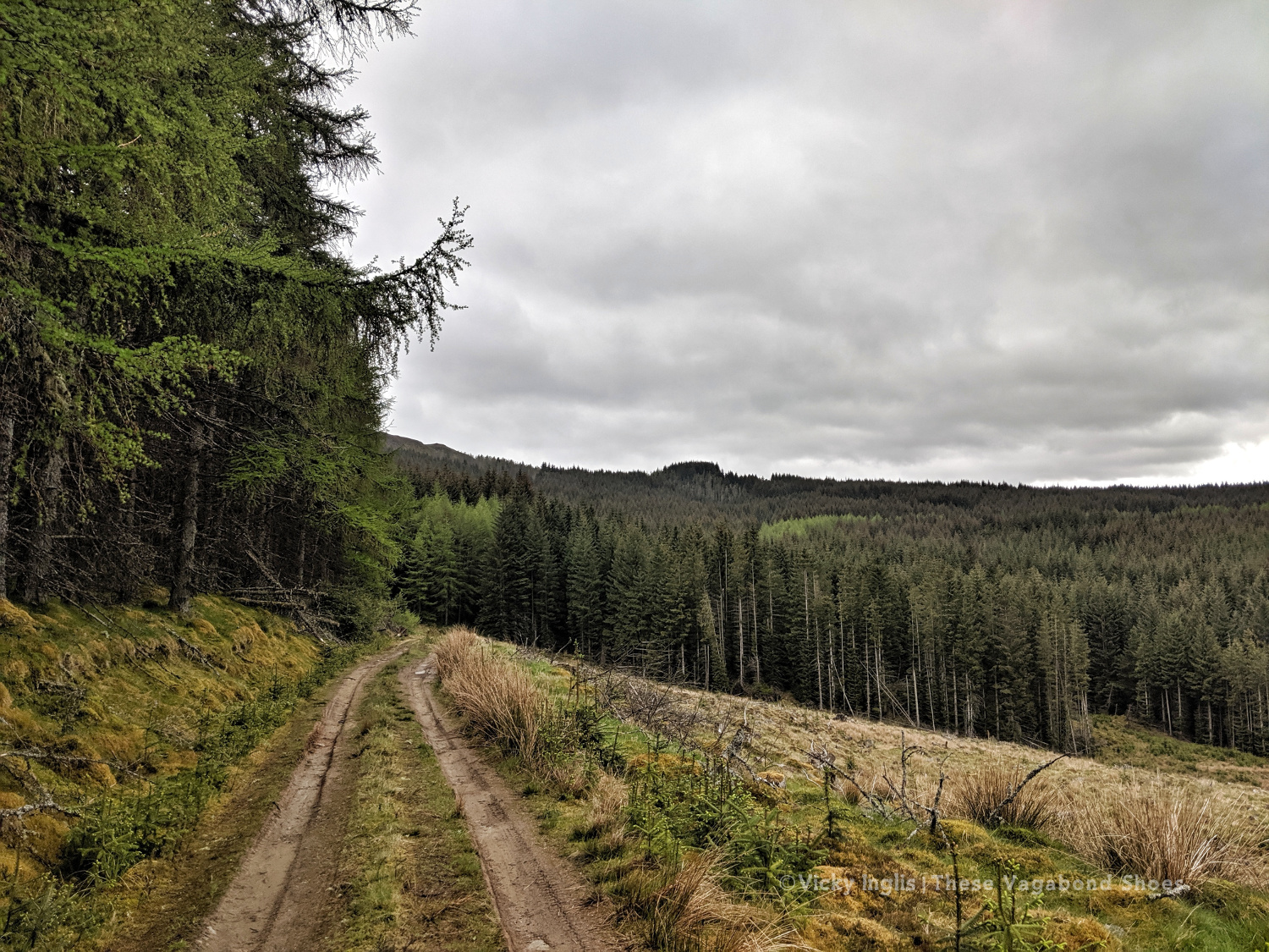
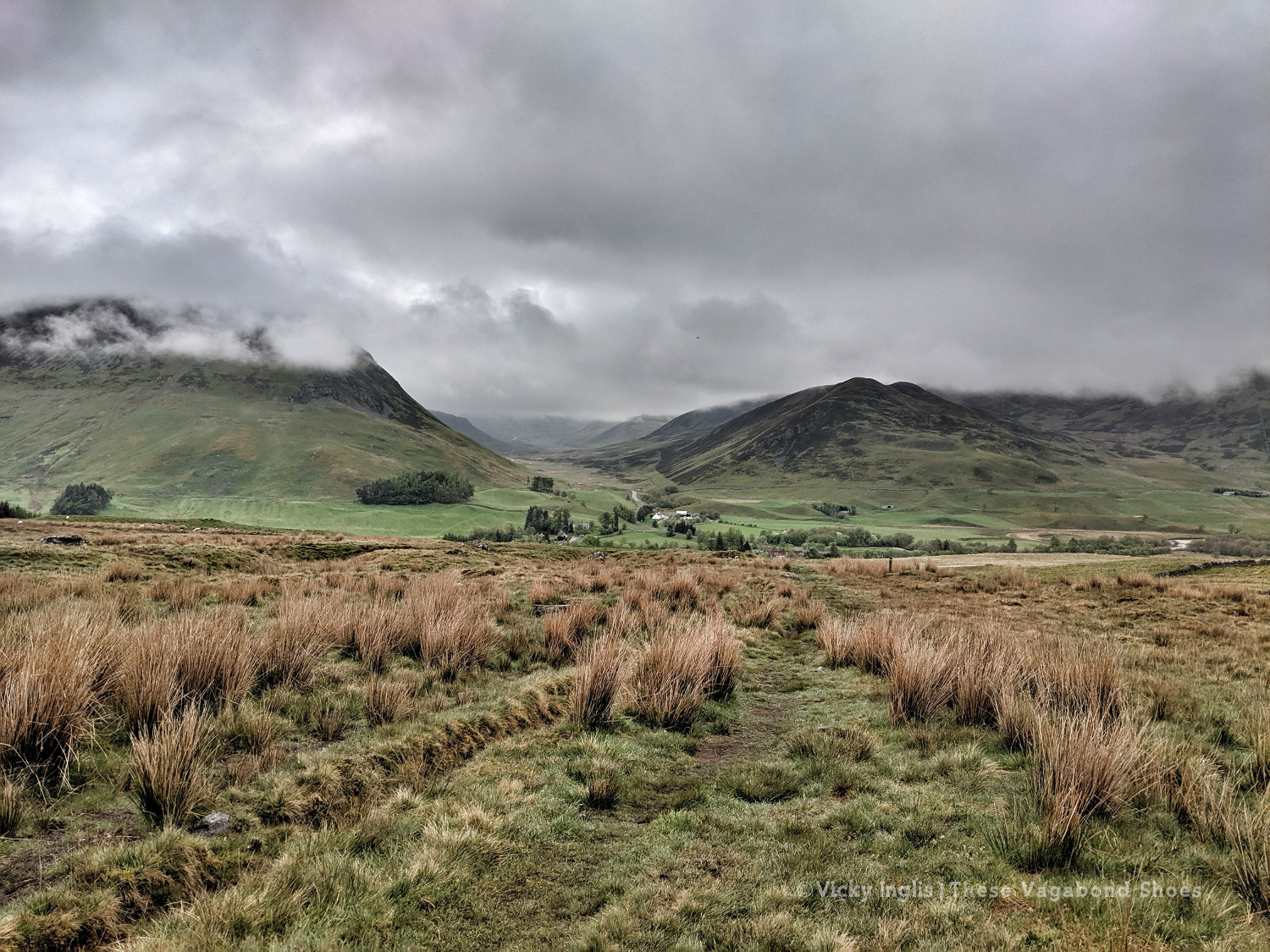
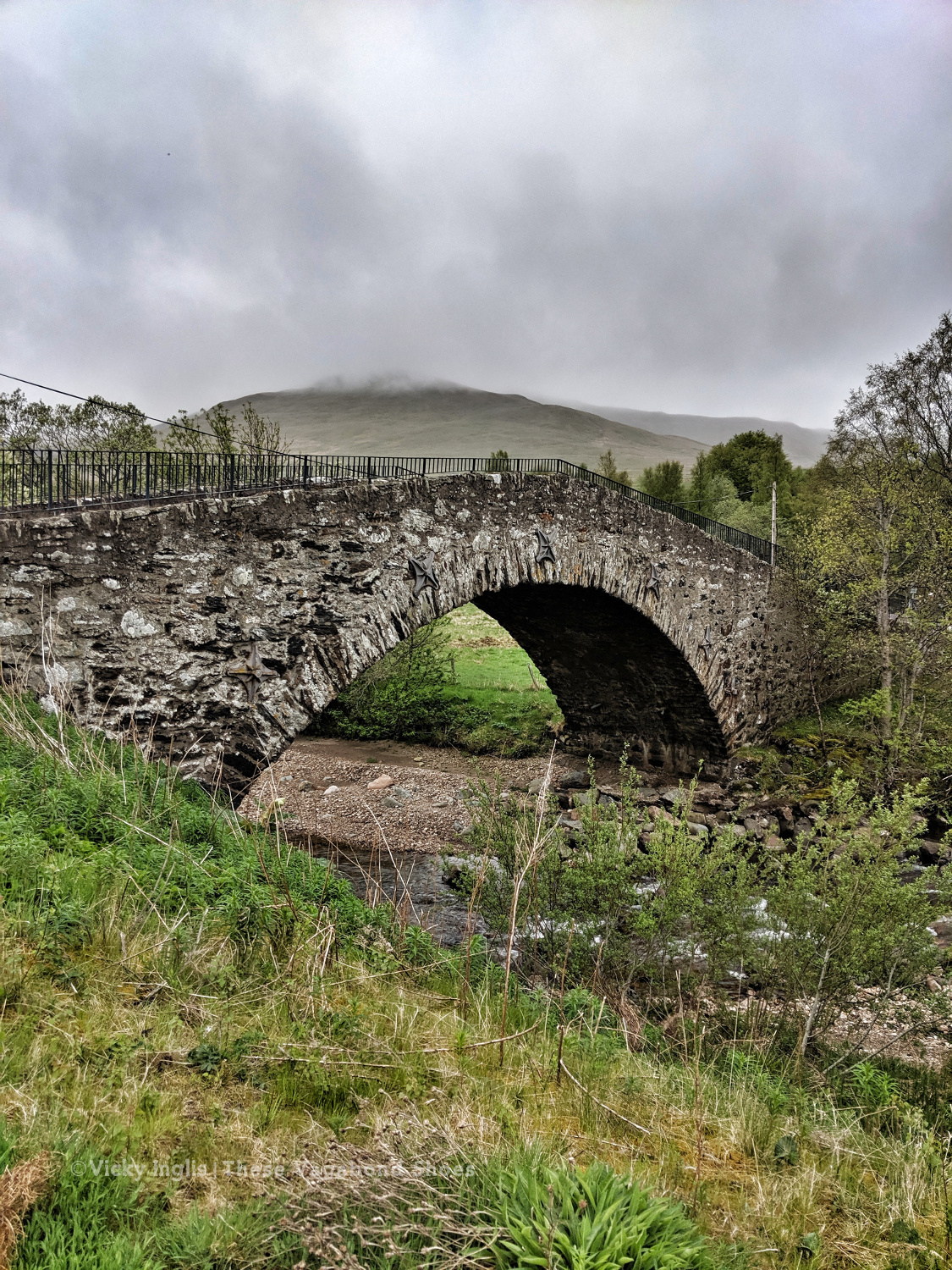
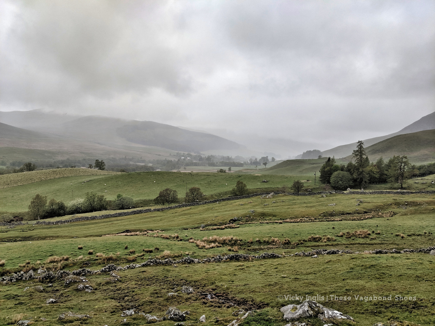
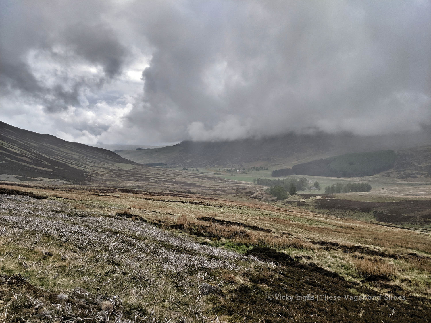
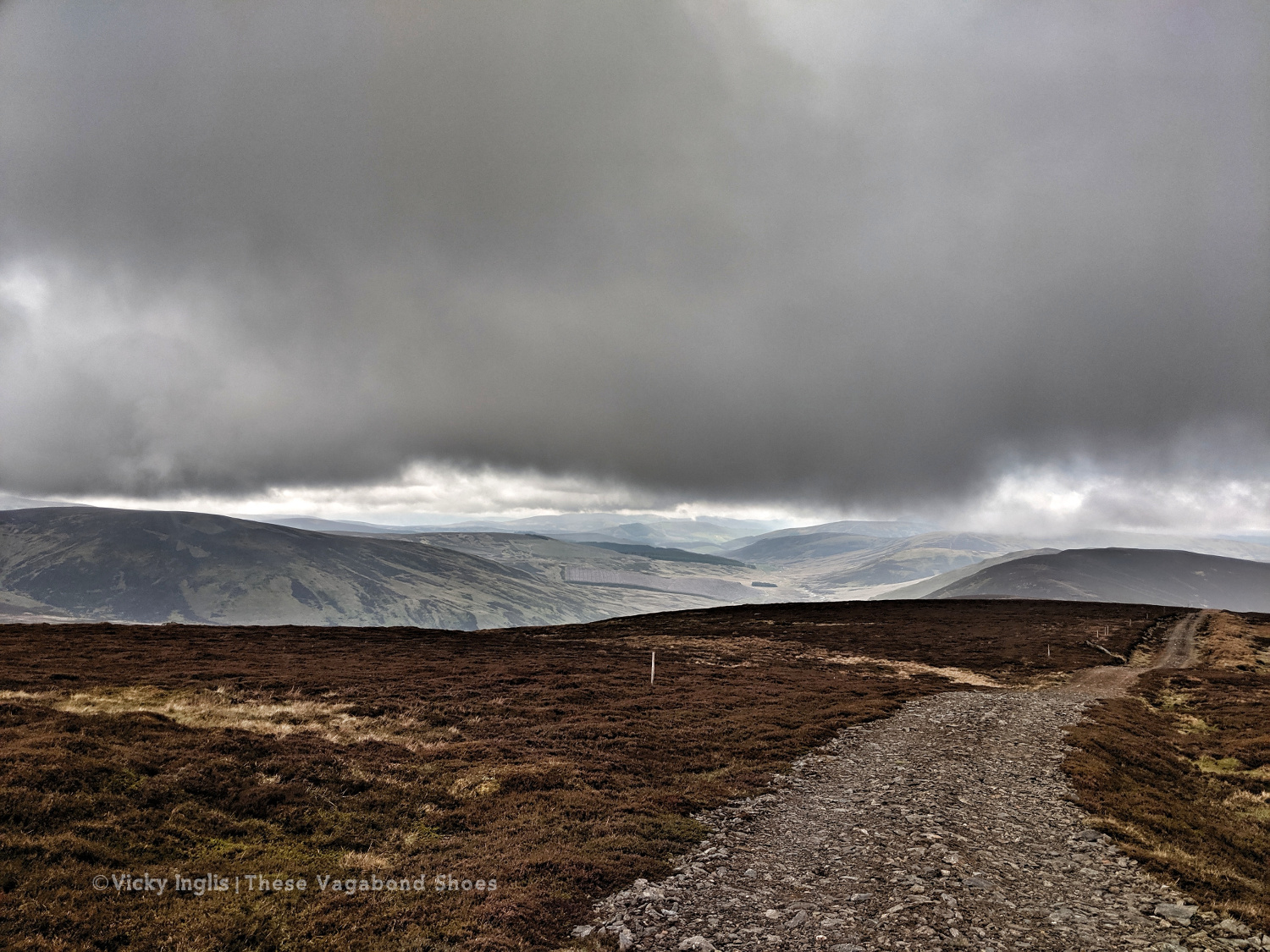
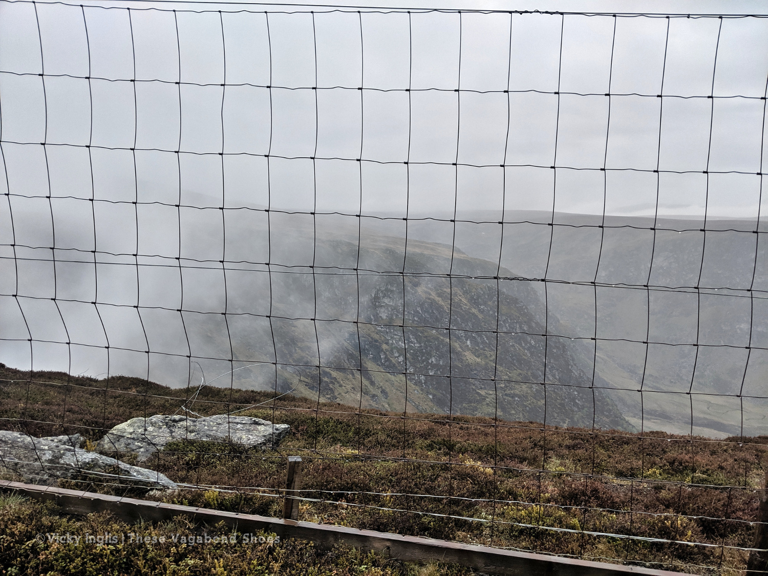
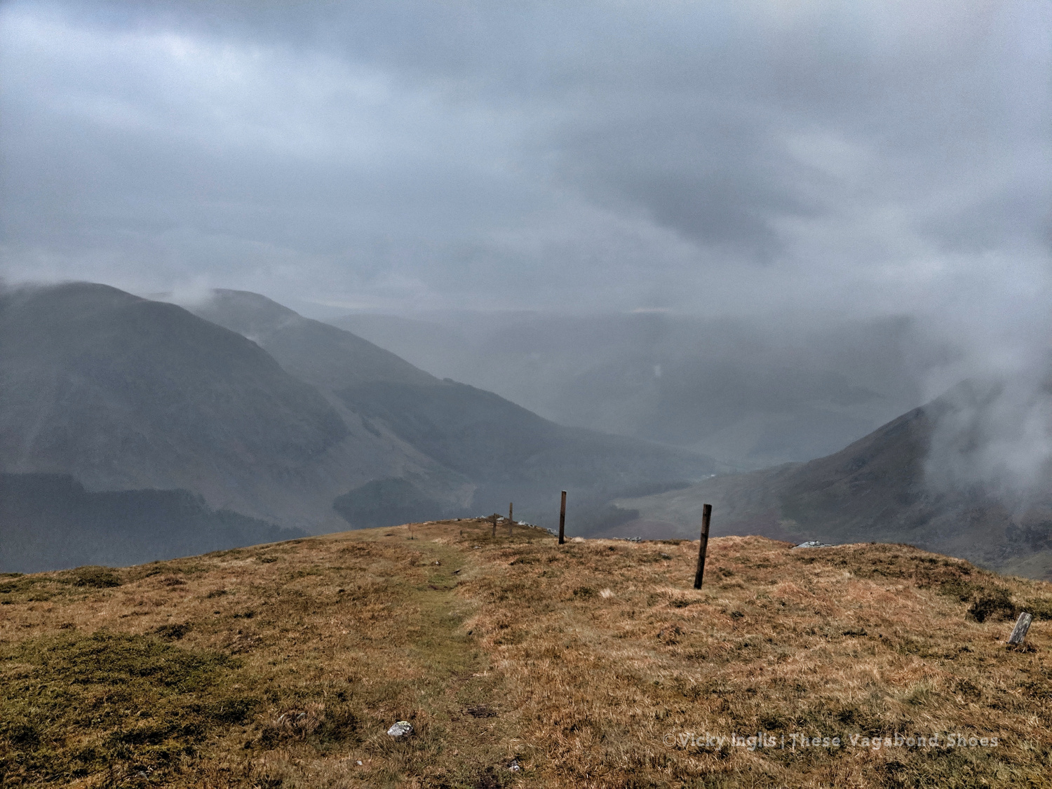
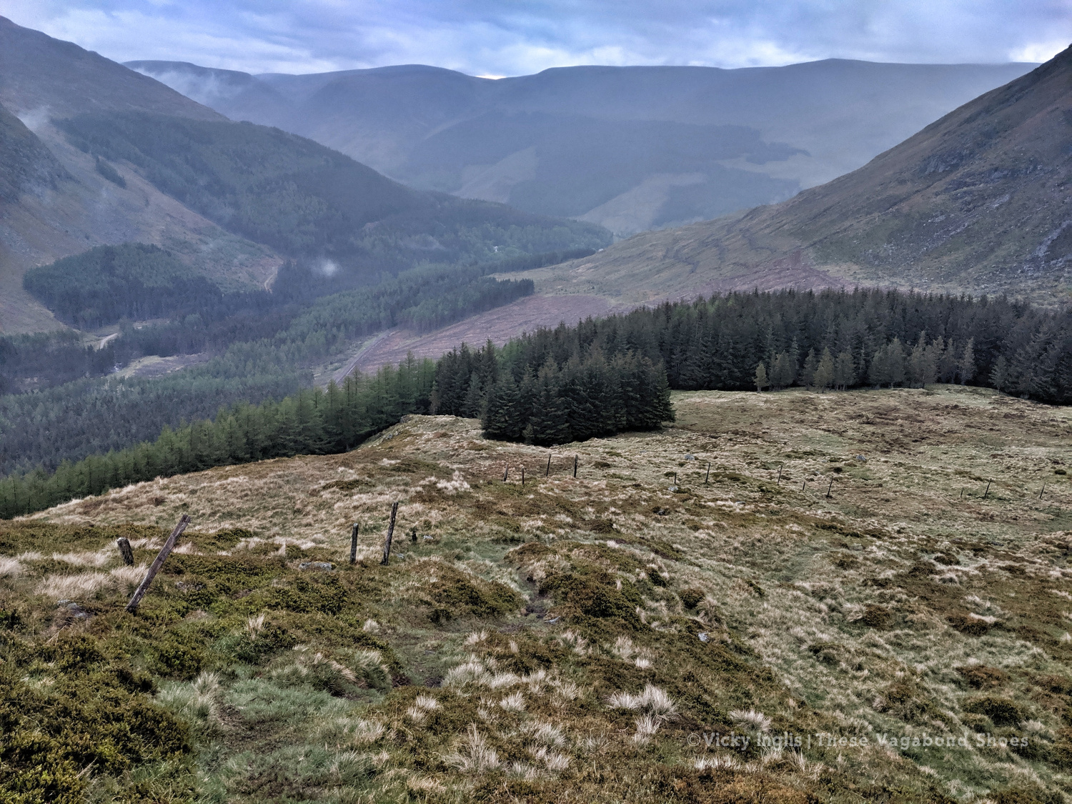
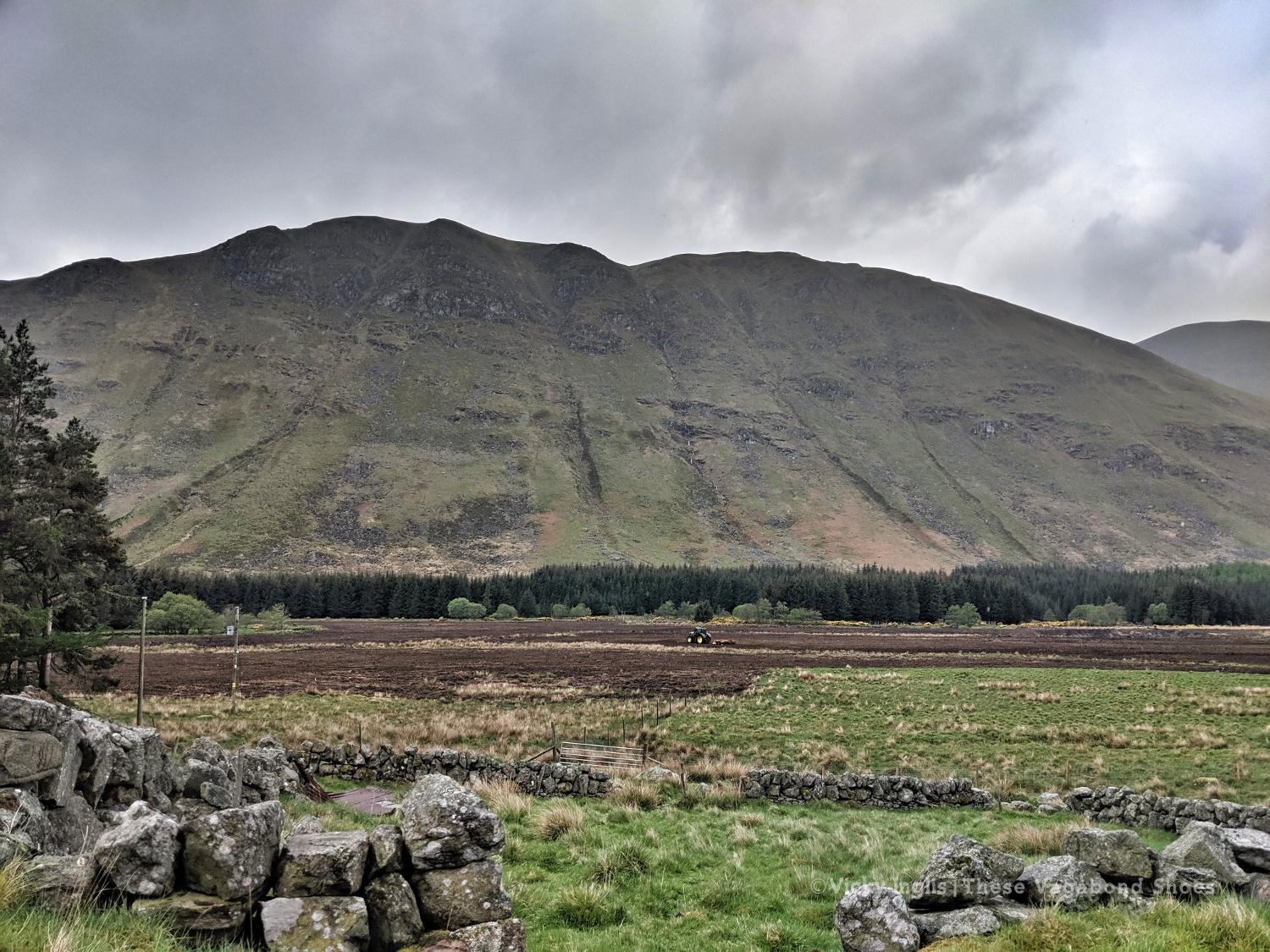
The River Dee is one of the most impressive rivers in Scotland, rising high on the Cairngorm Plateau, before squeezing through the narrow cataract of Linn of Dee and carving a course for the coast through rolling hills backing on to high mountains, impressive pinewoods, colourful birch forest, and heather-clad moor.
This area of Aberdeenshire has attracted travellers long before association with Queen Victoria and Balmoral Castle earned it the epithet Royal Deeside, and a position firmly on the tourist trail to the Highlands. The corridor of the River Dee was a easy route between east and west, into the heart of the Cairngorms from the coast, and a safe refuge for drovers, riders, and raiders passing through the mountain passes and wilder lands to the north and south, around the majestic peak of Lochnagar.
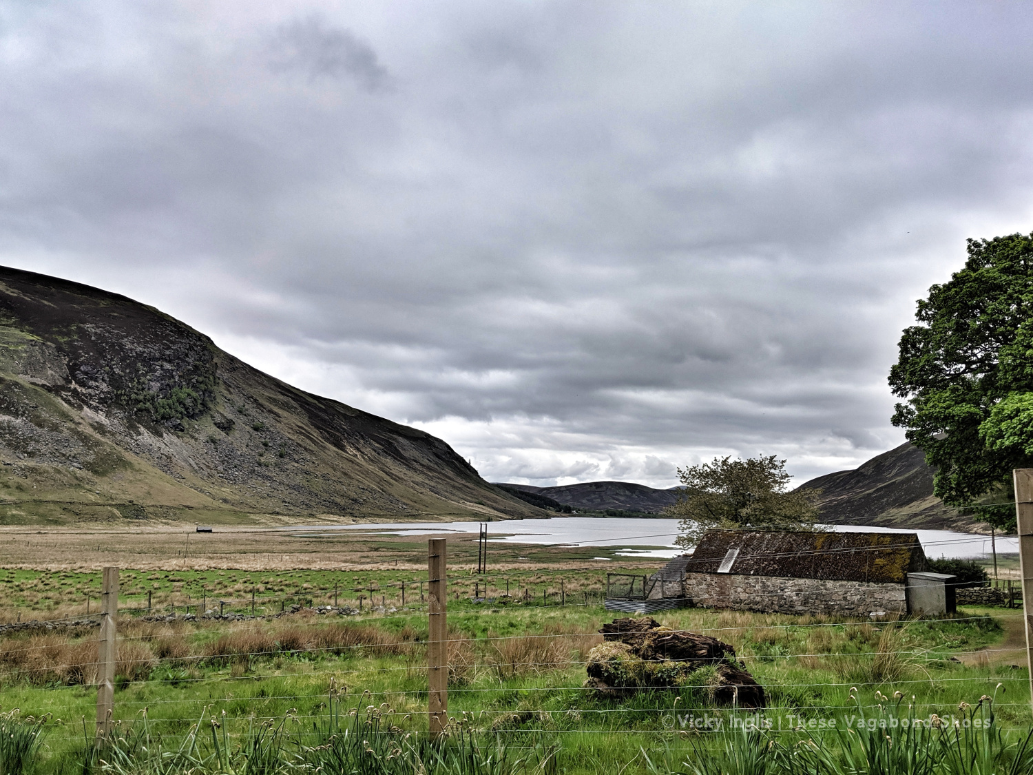
The towns of Aboyne and Ballater, and the village of Braemar (one of the highest villages anywhere in the UK), Dinnet, and Crathie are the main settlements in the area, and any could be the ideal base for taking these walks. Braemar is only around one and a half hours drive from Aberdeen, so these walks are all easily possible as part of a day trip out from the city.
These are 10 of my favourite walks on and around Royal Deeside, Aberdeenshire, in the eastern part of the Cairngorms National Park; opportunites to slow down your travel through the area and explore deeper into this stunning part of Scotland.
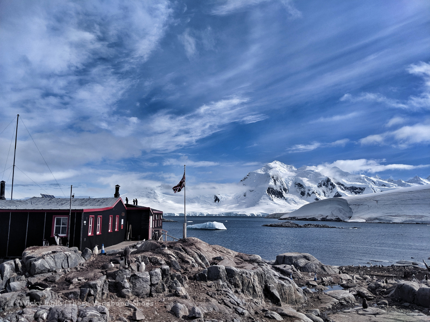
The view from our doorstep. Looking from the accommodation building on Goudier Island to the historic Base A building at Port Lockroy in January 2020.
The last three months have been a strange time for all of us, and certainly not what I’d anticipated for my return from Port Lockroy. Reunions planned with friends and family were tempered by the COVID pandemic response, filtered through window glass and laptop screens, and those “what next” plans I’d made were left on ice. Potential opportunities for future work drifted away over the horizon or sank without trace, and other responsibilities surfaced in their wake.
So despite an abundance of time that was available during the lockdown, it was exceptionally difficult to find myself in the right mental space to reflect on my time living and working in Antarctica at Port Lockroy.
Part of that is the challenge of finding the right language to articulate all the experiences, thoughts, emotions, and ideas I felt in Antarctica, and distil down to something palpable, unmasked by superlatives that a place of such outrageous beauty demands. Over the 110 days of our stay, I took thousands of photographs, made several short films and sound recordings, and filled my journal and sketchbook with observations. But still, it sometimes feels as if the whole thing wasn’t quite real. A dream only half-remembered.
The sailing ship Bark Europa, moored up in the back bay under Jabet Peak, was one of the more unusual vessels visiting Port Lockroy during the season.
It’d taken me a long time to reach Antarctica. I’ve always been drawn to the polar regions, at first through a deep fascination with the strange and unusual wildlife that make their home on (and under) the ice, then being captivated by stories of exploration and adventure. Growing up in northeast Scotland, the polar ship RRS Discovery, in drydock in Dundee, was practically on my doorstep, and the rough country of the nearby Angus Glens and Deeside served as a training ground for some of the first to venture South.
I studied marine biology at university, holding a vague and undefined idea that it had the potential to take me to the Ice as a research scientist or in a support role at a base or on a ship, however, the events of my life conspired to lead me elsewhere. The cost of visiting Antarctica as a tourist was way beyond my reach, so I forgot all about the possibility for a while.
Then, a few years ago, the idea popped up again. My job in environmental education had been made redundant following cutbacks, and after a summer sailing with Draken Harald Hårfagre in Norway, I needed a paying job. I started in the warehouse of a well-known online shopping company*, working 50 hour weeks stocking shelves as they approached their peak-sales period in November. I can honestly say I have never had a less enjoyable job, although my squat and stretch game was on fire.
*That big river in South America. Not the Orinoco.
Driving home one evening, shortly before the anticipated horror of Black Friday/ Cyber Monday shopping, I heard a caller on the radio request a song for the team heading to Antarctica to work in the Penguin Post Office for the season. As soon as I was in the door, I’d searched out the UKAHT website and worked out how to apply for the role. This was going to be my way to go South.
The ice-bound bay filled with brashy floes, making it impossible for zodiacs to land on the island and leaving us isolated for as long as a week.
The goal had crystallised, but it still wasn’t a straightforward route to get there. When applications opened the following February, I submitted from Bermuda, days before setting out on a transatlantic sailing voyage. When we arrived in the UK a month later I didn’t get the news I was hoping for, to be part of the 12 people invited to the final selection process, but had an encouraging note from the Operations Manager to tell me I’d been close (lucky number 13), and to keep applying for the role.
In between other opportunities, following selection on my second time around, I got the call to say I’d been successful. I’d just been ashore to chat about boat moorings in Loch Spelve on the Isle of Mull, for the Irene of Bridgewater, and had hopped into my wee tender, untied and pushed off. My phone rang as I was about to start the outboard, so I let myself drift out into the loch to take the call, hoping I didn’t drift out of mobile reception before I got an official nod.
The modern Nissen hut that provided our home for four months, slowly revealed by thawing snow. On arrival, it was a high as the top of the door frame and we dug our way in.
Collecting bergy ice for a freshwater supply early in the season. Most of our drinking water was provided by visiting ships, but when the ice closed in and ships couldn’t visit, we melted the ice.
The thing about the opportunity that appealed to me most was the prospect of spending an extended period in a location of which most people will only ever get a snapshot glimpse. To be witness to the progression of time, the comings and goings of the wildlife, and the changing of the seasons in the South. To live beyond the limits of where others get to go.
And that was undoubtedly the highlight of my time in Antarctica. Paying heed to small changes in my surroundings: noting levels of snowmelt or the scouring effects of an excoriating wind on the ice; the swirling movement of ice floes riding on the tides; and the endless march of increasing day length, followed by returning night and star-filled skies as we tilted over the equinox. A muffled boom reverberating through the landscape, felt like a pressure wave in my chest as much as it was heard in my ears, as ice calved and crumbled from the glacier. Sculpted chunks of bergy ice which glowed with a blue luminosity, as if lit from within. There was an ethereal quality to the place, as if we’d been stepped aside from the rest of the world.
Then being captivated by the more subtle things: the shape and movement of clouds; scintillating sundogs and solar arcs; the feel of the wind, from a gentle caress to a knife-sharp slash, the ever-changing play of light and shadow over the landscape. Moments that leave one consistently undone by the beauty of it all.
Don’t stand so close to me. A fine example of the projectile defecation of penguins. I believe there are even some papers written on why? and even how far?
The colony surrounding the Stevenson screen at the highest point of the island.
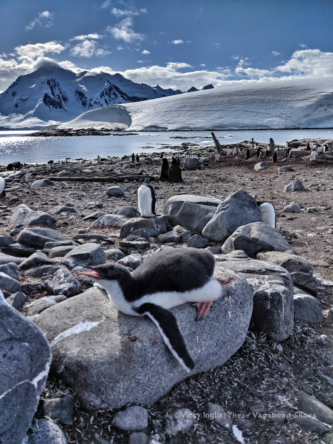
And of course, the wildlife. The ceaseless cacophony of life in the penguin colony. Observing the penguins on the island, getting to know them by their chosen nesting locations, and following the progress of a pair, it was hard not to anthropomorphise or to foist a unilateral emotional bond upon them. Their swaying, tottering gait, stumpy little legs and rounded tummy, and naïve inquisitiveness around us seem to recall human toddlers, making it hard not to reach out and sweep them up in a steadying embrace. It invoked a secret desire in me to name them all.
Even so, living cheek-by-jowl among penguins for any time, happenings in the colony showed us any human connections we supposed to these creatures are tenuous at best. At first glance it appears they’re putting on a chaotic avian slapstick soap opera: squabbling between nesting neighbours; curious chicks playing with our buckets and brooms, splashing in the boot wash by the museum door; throwing back their wings and chasing adults for food, always demanding more. Taking to the water for the first time, with none of the natural grace one would expect of a sleek sea creature.
The blatant thievery and cheating in the colony contribute to soap opera levels of drama.
The chicks are in equal measures adorable and infuriating, especially if you’re trying to transport a 20kg cylinder of propane from one side of the island to the other, and the priority is to create minimal disturbance to their activity (which is mainly napping).
In reality, we watched a wholly unsentimental and more elemental existence: newly hatched chicks huddle in nests constructed with bones of their ill-fated siblings of previous years; adults voiding excrement on each other, from nests highest on the rock to those below; snowy sheathbills pairing up in a tag team to snatch an unguarded egg or runty chick from under an adult; the lurking ever-present threat of predators that come both from the skies and the depths. Witnessing the awesome and grotesque cycle of life and death on a daily basis, alternately heartwarming then heartbreaking, always fascinating, is part of the unique Antarctic experience.
At the creching stage, the chicks become bolder and venture away from nests to form small gangs and await a parent to arrive with a regurgitated krill meal.
Though they demand the most attention, penguins are not the only creatures that leave an indelible mark on the memory of the Antarctic visitor. Other birds, sleek Antarctic terns, the colour of low cloud on a soft day, and piratical skuas, ever-observant to opportunities to pillage the penguin colonies. Snowy sheathbills, our curious companions with their only-a-mother-could-love appearance, tapping away at the buckles of my discarded snowshoes as I make notes on my clipboard. Monstrous giant petrels, with bloodstained plumage and ice blue eyes, ruthless killers that rule the skies here.
The uncanny song of Weddell seals hanging in the air, as they lie dreaming on an ice floe lodged fast in the back bay. The lurking menace of leopard seals, conducting secret surveillance of the shallows, waiting to surge ashore and snatch the unwary. A rounded brown boulder in the shallows, almost the size of a small island, which yawned deeply, transforming itself into a bull elephant seal.
On still days, when fog lay like a felt blanket over the natural harbour obscuring views of peaks and pinnacles of Wiencke Island, immediate sounds were dampened, amplifying the roaring silence that lay behind. The raucous colonies of penguins and blue-eyed shags muffled long enough to pick out the saltwater signals of whales taking their breaths in the silky, quicksilver water of the bay; two, no three humpbacks scouting the deep water channel on the inside of Lecuyer Point, or a lone minke making its way between the improbably named islands of Boogie and Woogie.
Graffiti on the rocks of Goudier Island, left by the sailors and whalers of the Solstrief in 1912, one of the largest factory whaling ships to ever work Antarctic waters.
Port Lockroy is a rare place in Antarctica, a tiny island where the human story of the continent is writ large. Around us was the evidence of the whalers that followed the ships of the Heroic Age of Exploration South, through to Operation Tabarin and the construction of Bransfield House/Base A, at the time when international relations on the ice were strained, and politics pushed to the fore. Then the era of science, where the continent was transformed into a vast laboratory of measuring and monitoring, revealed by the artefacts and oral histories of the museum, to our current-day experiences of expedition tourism and bucket-list travel.
Base A, the first permanent British base established on the Antarctic Peninsula, and now home to the Penguin Post Office and museum.
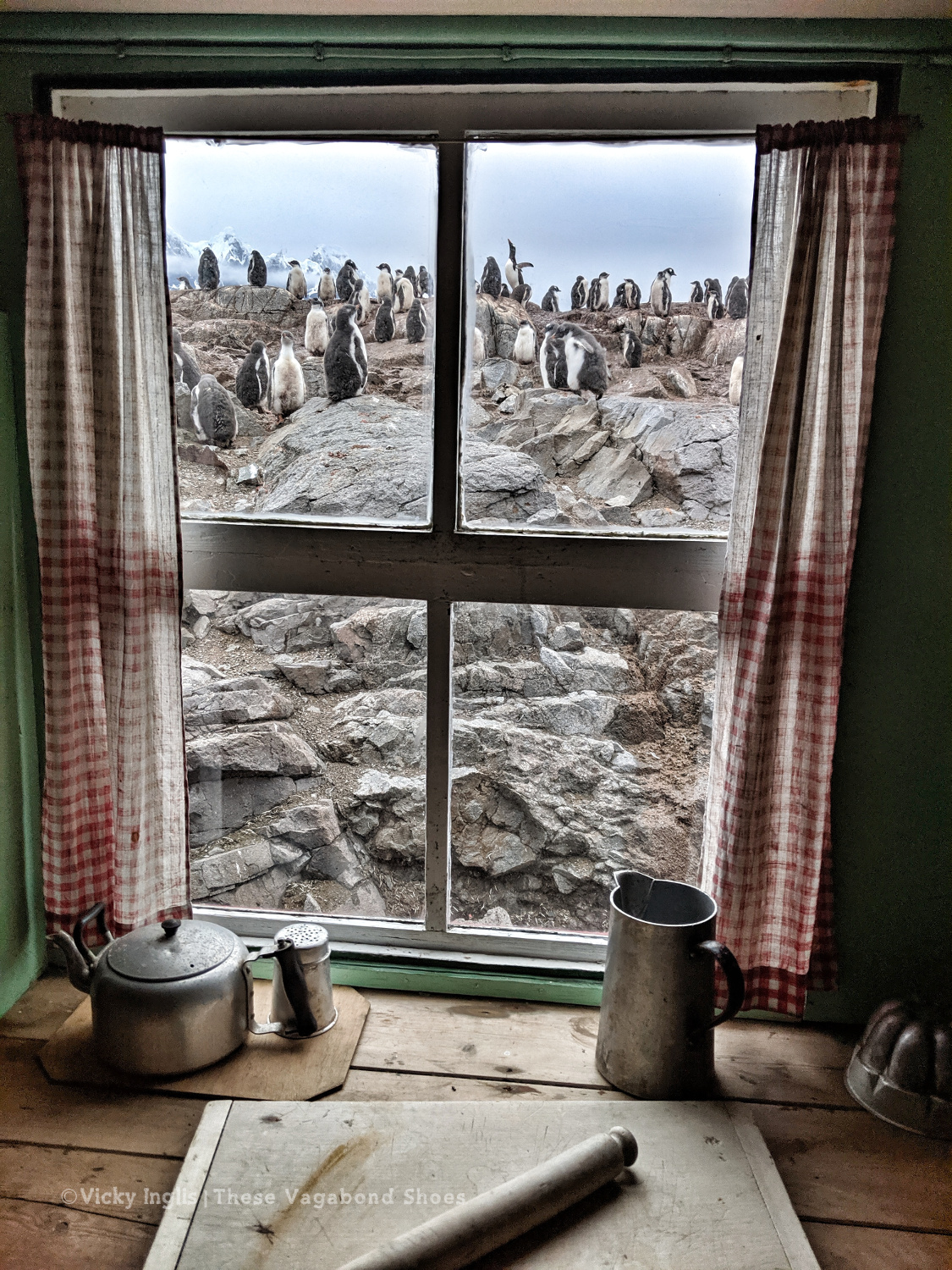
The incongruity of the galley view in Bransfield House.
The wealth of stories continued with the people we met throughout the season, both face-to-face and through correspondence delivered to the Post Office. Previous Lockroy team members, experienced field guides and expedition leaders, research scientists, and former and current staff of both the UK Antarctic Heritage Trust and British Antarctic Survey passed through Goudier Island during the season, enriching our understanding of the place and welcoming us to the Antarctic family like we already belonged, allowing us to become part of the ongoing history of the place.
Port Lockroy is reported to be one of the most visited sites in Antarctica, and while the 2019/20 season proved to be far from usual, we still welcomed thousands of people into our small world for a while, and helped them pass on their share of wonder and awe written on the back of a postcard.
Postcards cancelled and packaged for the mail, ready to start their journeys around the world.
Finally, all that remains is to say what a privilege it was to share such a profound experience with an incredible team of people, who started the season as my work colleagues and after four months of living in each other’s pockets, are firmly life-long friends. Sitting together on a golden afternoon by the landing site, once the day’s guests had gone, watching for the blown spray and flashes of tail flukes across the Neumayer Channel, listening to the snapcracklepop of melting icebergs, and toasting our luck with gin gifted by the crew of a superyacht and tonic scrounged from our favourite hospitality manager. Or huddled together in a cuddlepuddle under blankets and duvets to watch a film as sleety rain-lashed windows and storm-force winds shook the very building around us. These are the moments I’ll cherish most.
The awesome 19/20 season Port Lockroy team. Photo Credit: UKAHT
An icy evening spotting arcs and sun pillars in nacreous skies and shimmering reflections by the landing site.
Standing on the aft deck of the ship that would take us back to Ushuaia I could feel the undeniable magnetic pull from our island, tucked under the sheer rock and ice of Mount Luigi and the Seven Sisters, then a sudden snap as we rounded the headland and Port Lockroy was lost behind the rise of Doumer Island. I think a little piece of my heart was left behind.
By endurance we sauna.
It was far too warm to justify wearing all those layers of clothes on that day. Taken as part of a photoshoot wearing our branded gear and items for sale in the shop.
Extracts from this piece were first published as posts on the UKAHTPort Lockroy blog.
Inspired by what you’ve read? Why not pin this post to your bucket list travel board?
A selection of facts about the Arctic you’ll find rather interesting.
While researching ahead of my time in Antarctica, I was continually side-tracked by snippets of information relating to the Arctic, and articles making comparisons between the two polar regions of our globe. Stories from the rich history of the people who make the region their home, and the explorers seeking new discoveries about the region; the unique ecosystems and wildlife; fascinating geographical phenomena and the spectacular natural beauty of a landscape carved from rock and ice, dark and light.
I’ve long been fascinated by the polar regions, and have travelled widely in the European Arctic. I accidentally booked a bargain ski break to Finnish Lapland at the end of the polar night*; road-tripped from Tromsø to Kautokeino, Kirkenes, and Nordkapp in the never-setting sun; and sailed southwards from the Norwegian Arctic (ending up in the Algarve), crossing the circle on the way down. I’ve explored the north coast of Iceland, and the southern tip of Greenland, though whether those constitute the actual Arctic depends on the definition you prefer (see below).
*where I taught myself to ski Nordic-style and discovered the magic of saunas and salmiakki.
In the process, I’ve uncovered several interesting facts on which to hang my own experience and understanding, and I’m sharing the best of them here.
A series of interesting facts about Antarctica that I uncovered during my research.
Earth’s southernmost continent held us in its thrall long before it was first sighted in January 1820, still just a blank space on the map. The limitless solitude and silence, the vastness of scale, occupying mythical space in our imagination. Even now, with the possibility to visit the continent as a tourist, we are drawn by the idea of blankness, the purity of a landscape without the cultural associations of our own, where we can make our own connections and add new pins to the map.
I’ve done a large amount of research recently to familiarise myself with Antarctica: the short human history and tales of exploration; ecosystems and wildlife; the rock and the ice; the striking natural beauty of the continent. In the process, I’ve uncovered more than a few interesting facts on which to hang my own understanding and experience, and I’m sharing the best of them here.
A travel repair kit has the things you need to deal with whatever the road throws at you.
A repair kit is an essential for extended trips into wild and remote areas. A good repair kit will help you take the results of everyday wear and tear in your stride, like a small rip in your trousers, and can make you feel more confident handling the unexpected disasters, like a broken backpack or wind-shredded tent.
Carrying a few simple tools and materials will let you carry out necessary repairs in the field, and could make the difference between completing your adventure and turning back early due to gear failure. Or enjoying your weekend citybreak without stress.
The island of Coll is breathtakingly beautiful. The sort of place where you leave a little piece of your heart behind when you finally bring yourself to leave.
The sweeping arc of Feall Bay, on the southwestern coast of Coll
The beaches of Feall and Crossapol are separated by a fixed dune system rising over 50 metres in places, including a large swathe of flower-rich machair
The turquoise waters of the Sea of the Hebrides wash up on sweeping silver-white beaches backed by lofty, marram-clad dunes, reaching over 50 metres high behind the strand at Feall. Between the coastal bents and the bogs and bare rock inland, is a rare place; machair, a habitat unique to the Hebrides, the fringes of northwestern Scotland, and western coast of Ireland.
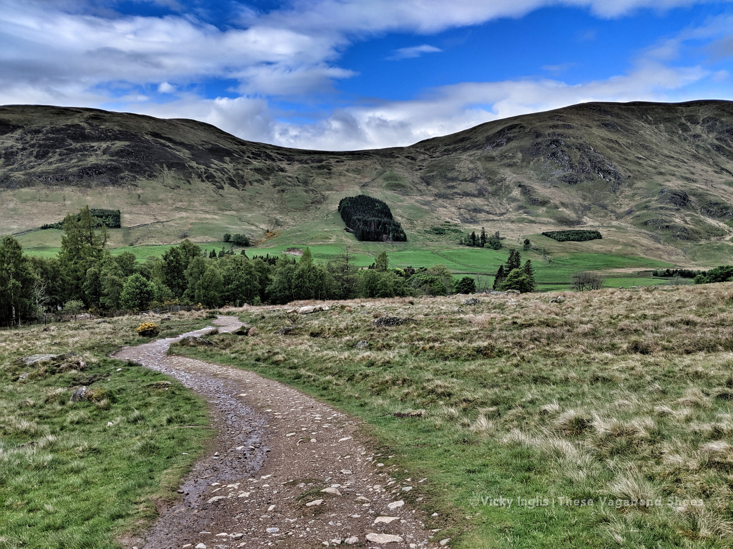
Few countries can match Scotland for a landscape so wildly beautiful and dramatic; sweeping glens, rugged peaks, historic castles, and ancient forests make it an irresistible draw for hikers. And even the notoriously fickle Scottish weather can’t detract from the hauntingly bleak splendour of the landscape.
The most mountainous terrain in the British and Irish Isles, Scotland has 282 Munros, mountains over the magic 914 metres (3000′), named for Sir Hugh Munro, compiler of the first list, inspiring many hikers to “bag” the full set. The best rank among some of the best mountains in the world. The highest is Ben Nevis at 1345 metres (4412′).
But it isn’t essential to claim the highest summit to reap the rewards of hiking in Scotland. With thousands of kilometres of coastline, hundreds of islands, lochs, and hills only lesser in height, not character or challenge. Whichever routes you chose, you’ll be treated to fresh air life, spectacular views, and that feeling of freedom that comes with hiking in wild places.
And the best part is that this is so very accessible here in Scotland, and less than a couple of hours from the biggest cities and towns, it’s possible to feel a sense of remote wilderness. So get your boots ready for these eight great day hikes, for whichever part of the country you’re visiting. Or include them in your plans for a Scottish road trip.
After the previous day’s attempt to make any kind of distance was a failure, I mentally reset myself ready for the last few days walking with a night at home; hot shower, real food, and good night’s sleep in a real bed. In the morning I returned to Clova feeling much more sparky than I had the previous day.
Heading into the hills behind Clova. Are the blue skies going to stay today?
Loch Brandy, tucked neatly into a corrie above Clova, like the illustration in a geography textbook.
Looking eastward down Glen Clova from Green Hill.
The moderately-sized cairn on Muckle Cairn.
It turned out to be a good thing; putting myself a day behind my planned schedule for the Challenge meant I actually met up with more challengers than I would’ve otherwise. I met a few on the track from Clova up to Loch Brandy, then picked up a walking buddy having navigation difficulties to cross the hills down to Inchgrundle and the end of Loch Lee.
Crossing falls and fords on the descent into Glen Lee.
Waterfall on the Burn of Tarsen.
Inchgrundle, at the western end of Loch Lee.
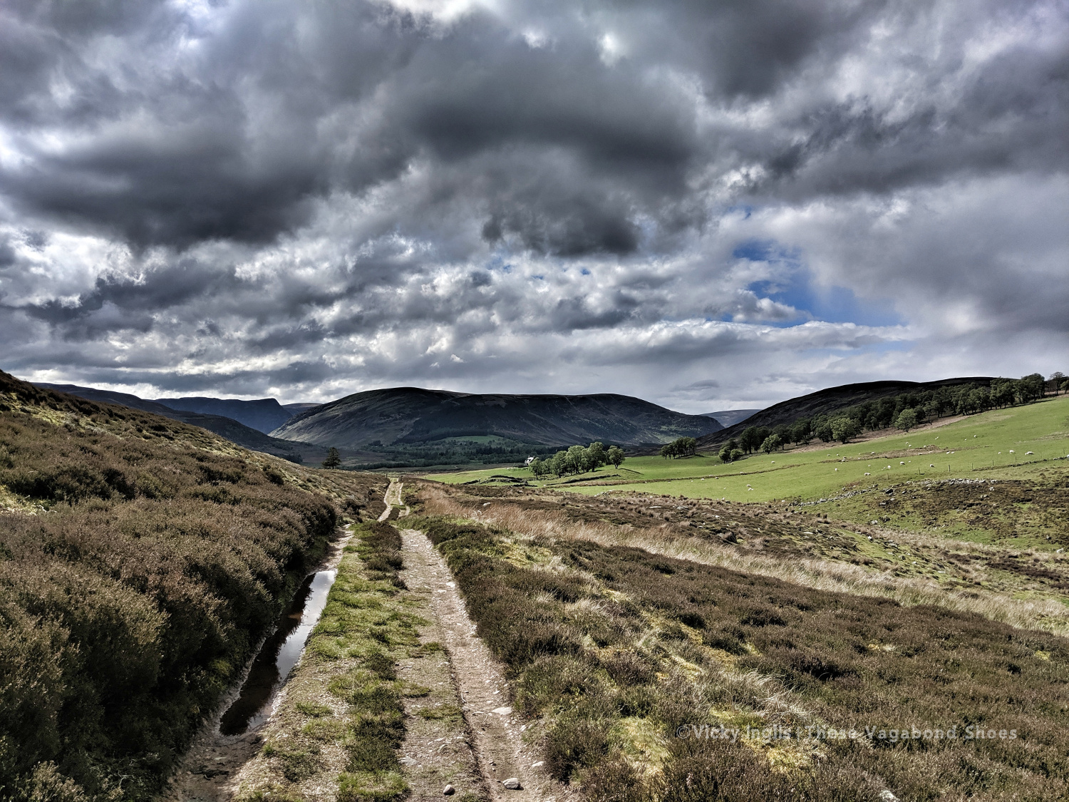
The well-trodden route from Clova to Tarfside is always busiest on the second Tuesday of the TGO, along with the other routes that converge into Glen Esk. It was also walking familiar very ground for me, bringing back memories of Duke of Edinburgh expeditions, walks on school trips, and camps with the Guides.
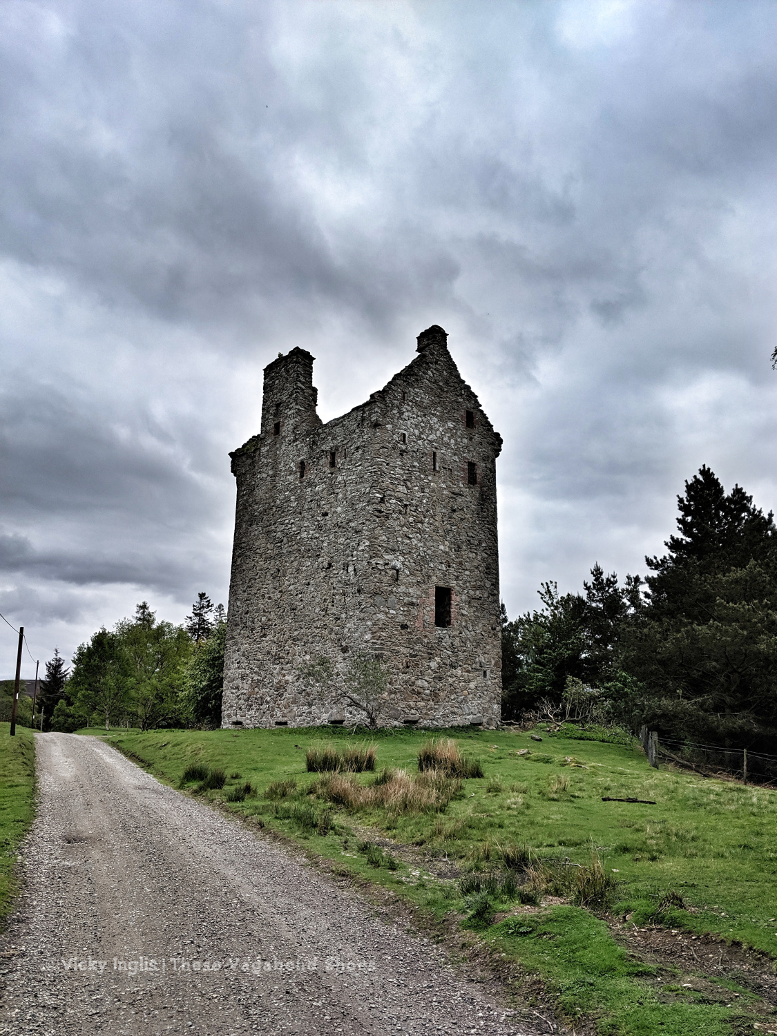
Invermark Castle.
Tracks around the Hill of Rowan.
Almost in Tarfside
After walking much of my route on my own, meeting up with friends at various points along the route, it was a little bit of a shock to the system to be amongst so many people in Tarfside. But it also showed me that one of the real highlights of the event is the other challengers that you meet on the way as you become part of the extended TGO Challenge family.
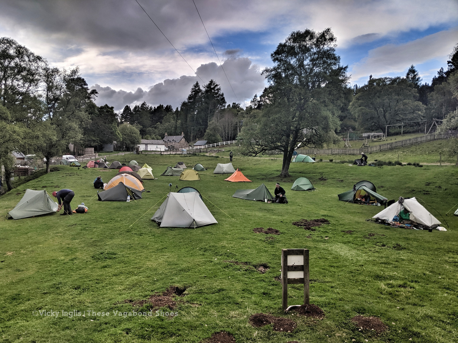
Tarfside tent city.
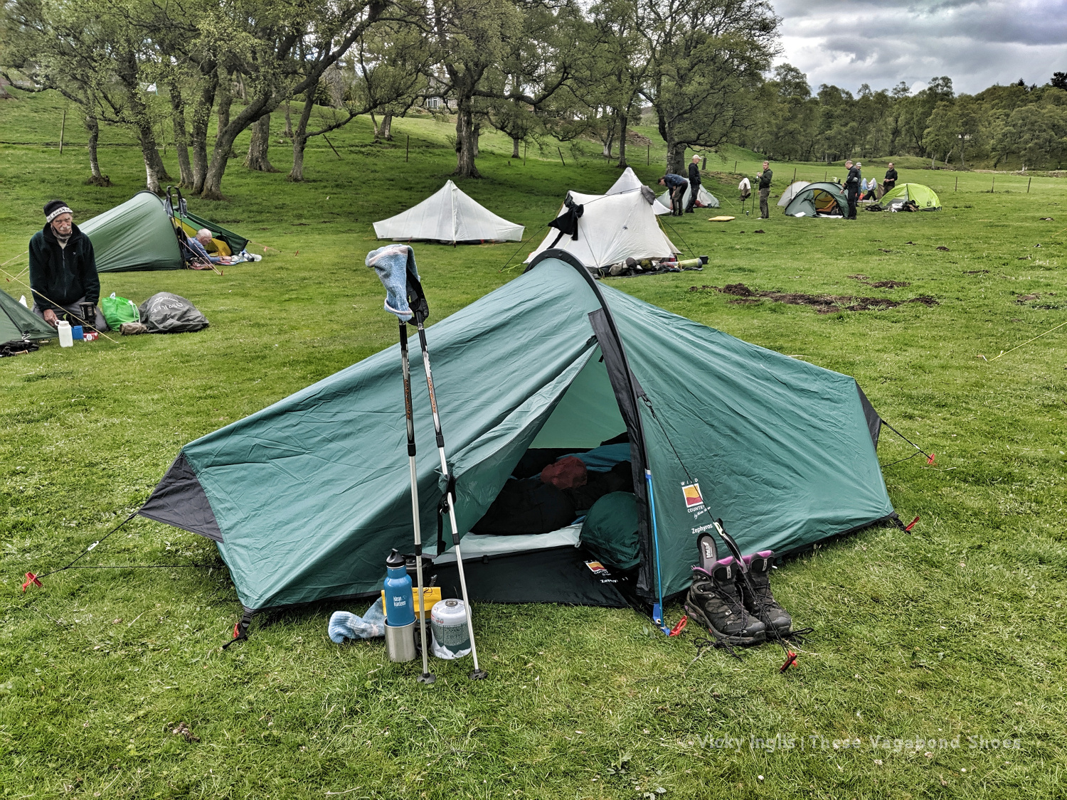
The pitching is starting to look better. Much less saggy. Still not in love with this tent though.
Wednesday 22/5
TGO Day 10: Tarfside to Garvock viewpoint
Distance: 33km
After an excellent night in Tarfside in the company of other challengers, I was back walking on my own again for most of the day. Everyone else seemed to be heading in the direction of Edzell and Northwaterbridge, but to reach my finish point at home at the Haughs of Benholm, I had to find a more northerly route and struck out over the hills to Fettercairn.
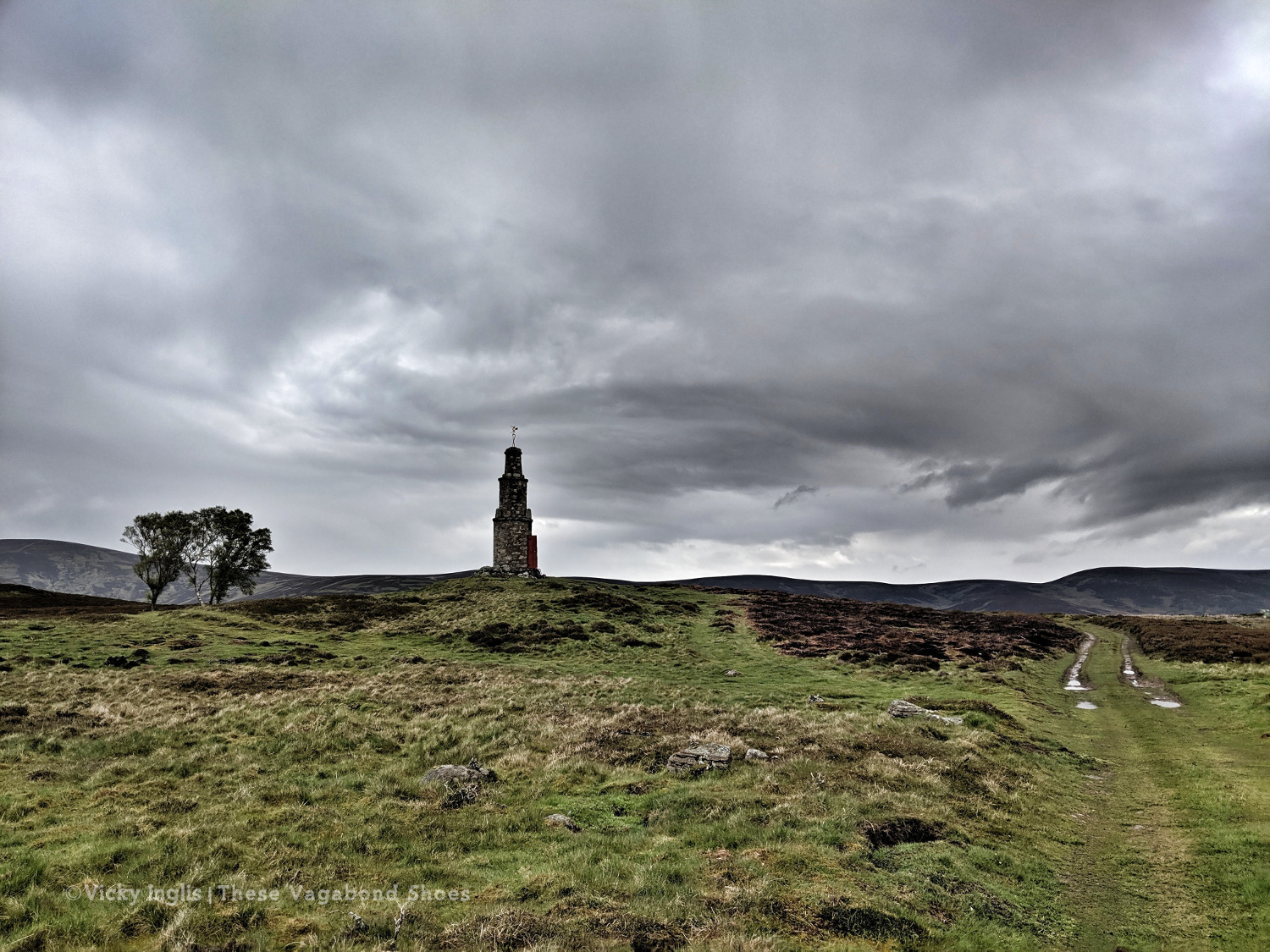
The Modlach tower near Auchentoul in Glen Esk.
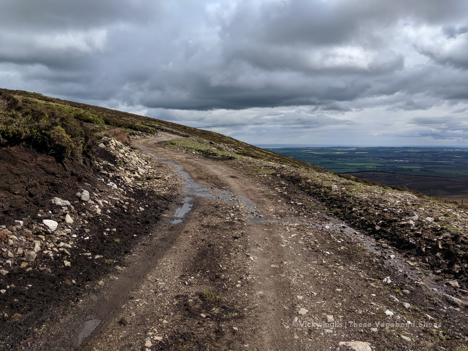
Moody skies on the way through Glen Esk. Short, sharp showers through the morning, but the promise of sunshine later in the day.
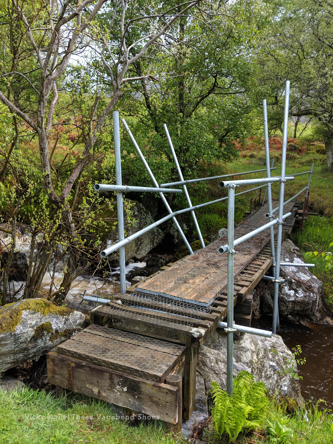
Safety third. Creative ways to cross the burns #2
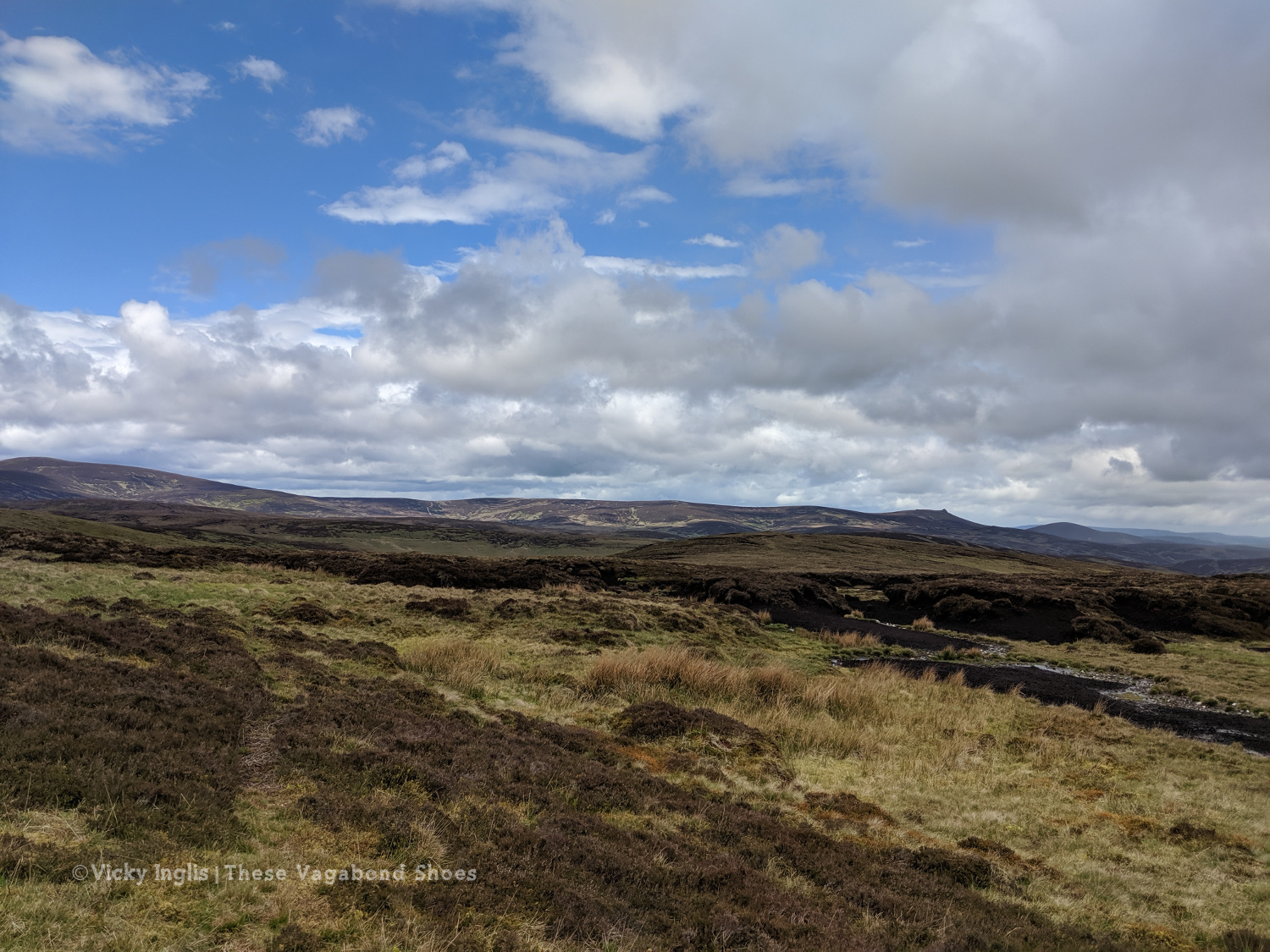
Looking across to Mount Battock, Clachnaben looking like a surfacing porpoise at the eastern end of the ridgeline.
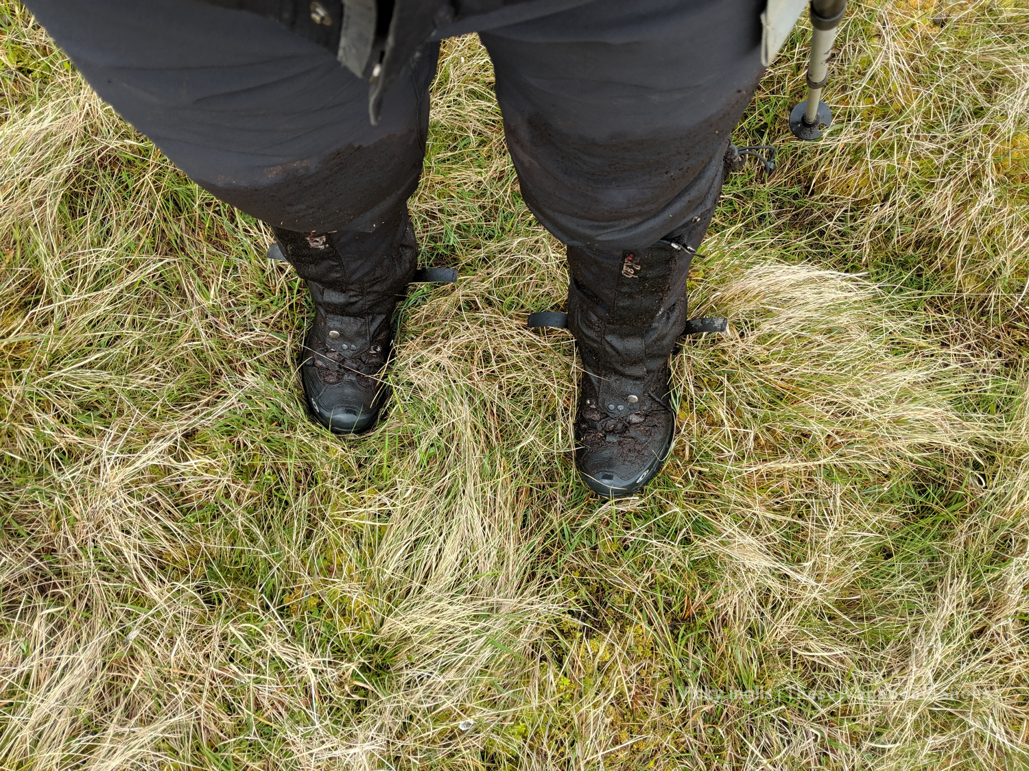
I quickly discovered why few others took this route, after running out of hill tracks on Craigangowan and wandering into a huge bog cut with peat hags, and crossed by a deer fence. I waded, crawled, fell, and slithered for what was possibly only just a couple of kilometres, but it took me well over an hour (definitely due to walking conditions, not the hangover) to rejoin the hill tracks around Sturdy Hill.
How deep is this bog? At least to mid-thigh.
Sturdy Hill after what seemed like hours. So glad to be back on a hill track.
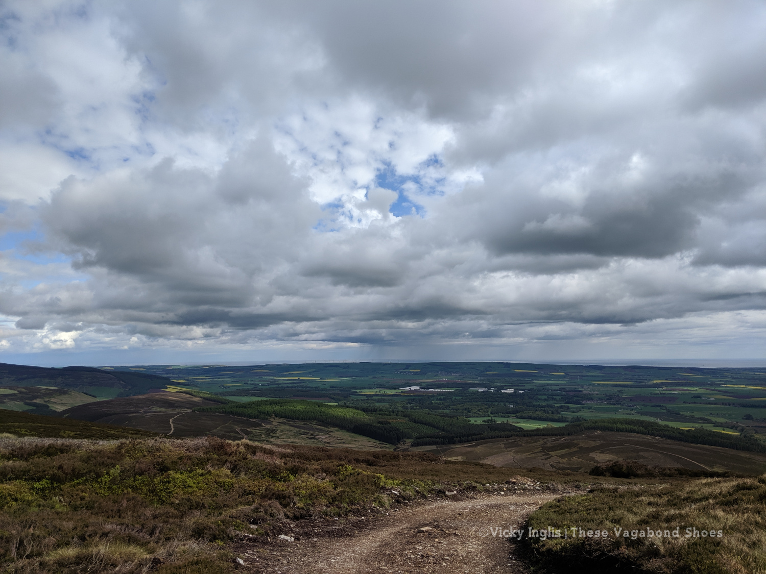
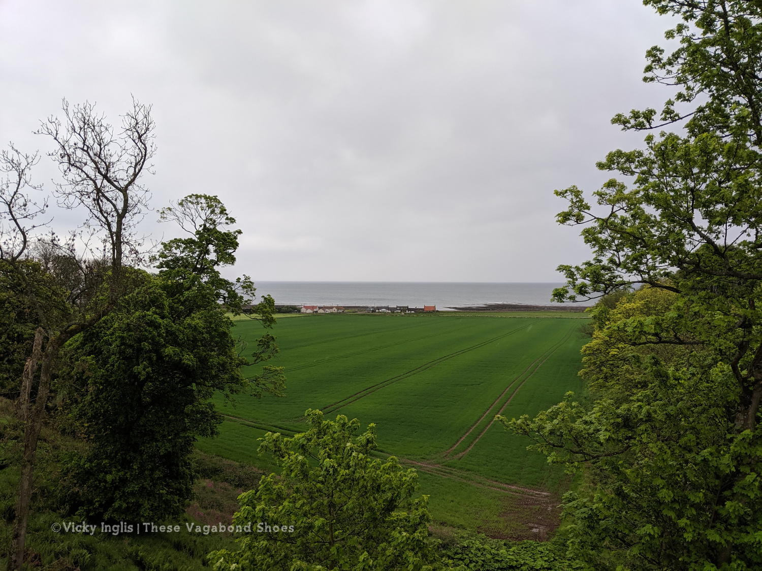
First glimpses of the North Sea on the horizon. Not long to go to the end.
Once back on the road, after a coffee break in Fettercairn, I pushed on as far as I could keep going for, with less than 45 km to end up at home, knowing I’d be able to take the following day to recover. But as the day wore on I got slower and slower, plodding on up the hill before grinding to a halt and stopping for the night at the Garvock viewpoint. Completely tired out, but really pleased with the effort for the day. A distance of 33km covered, and just over 10km left to go to the end of the TGO Challenge.
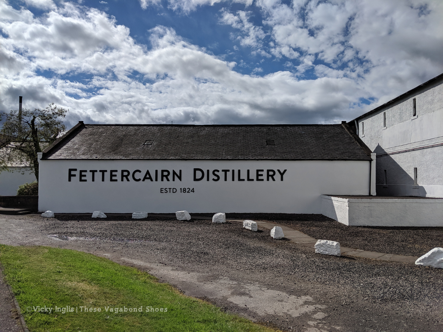
Fettercairn Distillery, on the edge of the village. Starting to feel close to home.
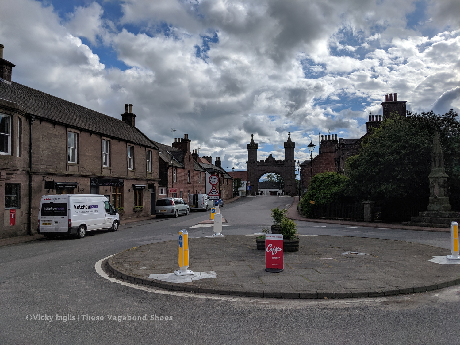
The Royal Arch in Fettercairn.
Road walking towards Laurencekirk.
Looking back across the Howe of the Mearn towards the Angus hills from the Garvock viewpoint.
Thursday 23/5
TGO Day 11: Garvock viewpoint to Haughs of Benholm
Distance: 10.5km
The final day! Just a short distance to finish my TGO Challenge, after the huge effort I put in the day before. It’s only around 10km from Garvock hill to my home at the Haughs of Benholm, and after starting fairly late, I was all done and dusted by 10am. It wasn’t the best route choice, as to avoid lots of road walking I decided to cross a few fields
The old kirk at Garvock.
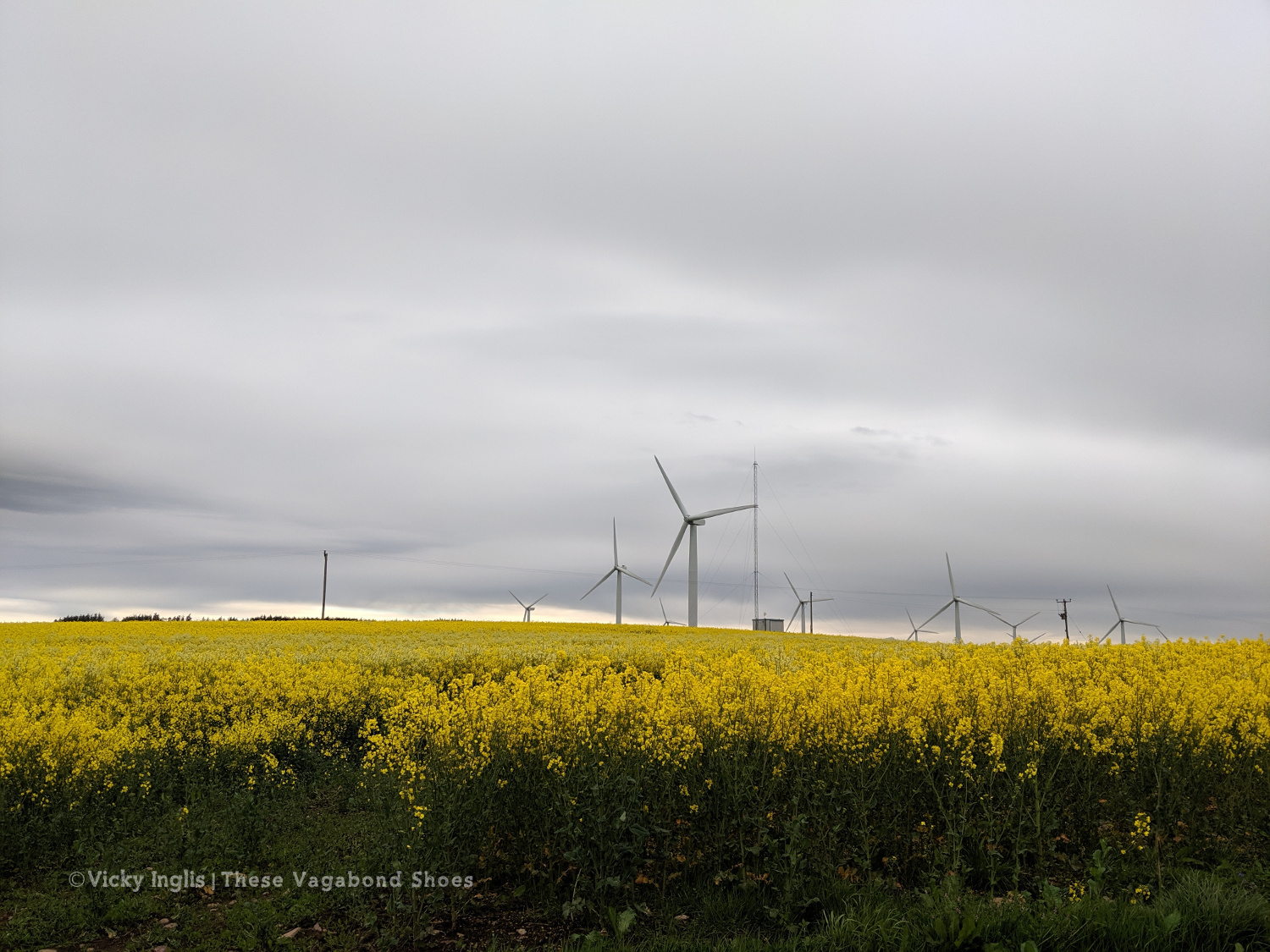
Tullo Hill windfarm and the usual yellow fields of springtime in the Mearns.
The Haughs of Benholm viewed from the road bridge. Just a kilometre more to go!
My Mam put out a finishing line on the drive, and after dropping my backpack I left an order for a bacon butty and cup of tea, and went to dip my toes in the North Sea to make an official finish. Unfortunately, my arrival had coincided with the low tide, so rather than scramble over the shingle and seaweed covered rocks to reach the water’s edge, I settled for a paddle in a rock pool, and decided the sea could wait until I’d had breakfast.
Crossing the finish line at the end of the Challenge
On the way to the sea, before decinding theat the sea could come to me.
Dipping my toes in a convenient rockpool.
My 2019 TGO Challenge Stats
Total distance walked: 269km (167 miles)
Total distance walked in flipflops: 12km (7.5 miles)
Total distance crawled: 2km (1.25 miles)
Times that I cried: 3
The highest point of my route: Schiehallion summit, 1,083m (3,553′)
The highlight of my route: Finding a beautiful pool for a swim in the sunshine in a small burn on the side of Loch Etive.
Would I do this again? Absolutely!
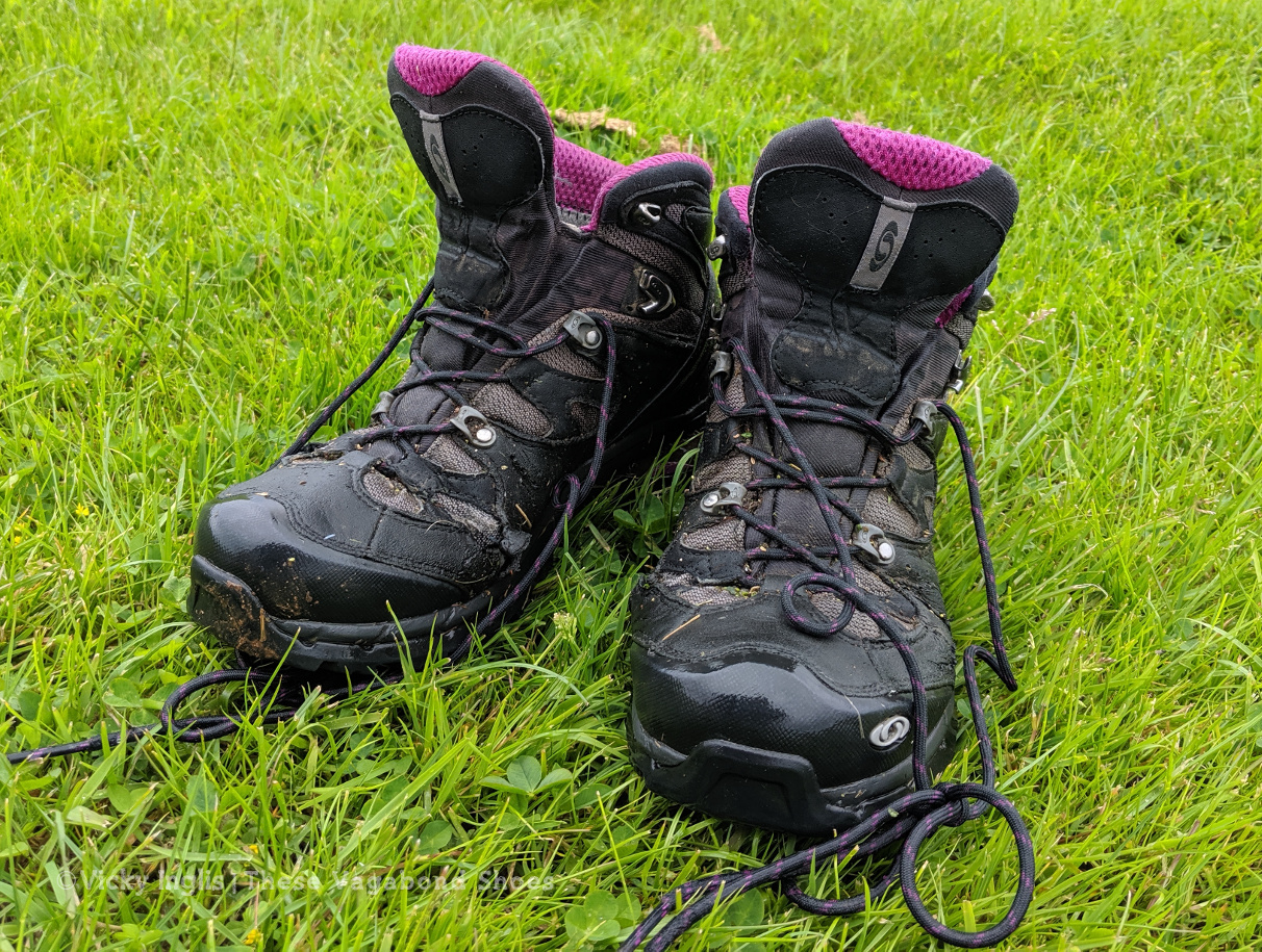
These boots were made for walking, but are ready for retirement.
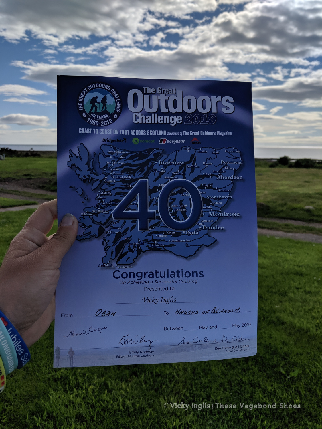
The 40th TGO Challenge, and my first, complete. The first of many more certificates to come?
Read the previous instalment of my 2019 TGO journal here, and find out more about the Challenge in this post.
After one too many days of fine weather and lots of walking with limited access to drinking water, little shade, and no sunblock, I was done. I’d scheduled a rest day with friends once I reached Pitlochry, so I switched it around to have a day out of the sun to recover and called for a lift.
The original inspiration for the TGO Challenge; Scotland Coast to Coast by Hamish Brown
Not a lightweight backpacker.
The Maskylene plaque at Braes of Foss commemorating the Schiehallion Experiment
A shower! Clean laundry! Ice cream! No heatstroke! It was wonderful. I treated myself to a pair of shorts and the factor 50 sunblock my pale Celtic skin needed to continue walking in the sunshine the next day, as despite not being the most lightweight of backpacker I hadn’t packed either of those things. I also found a brilliant secondhand bookshop which had something I thought might be useful for the rest of my trek. What would Hamish Brown do?
Friday 17/5
TGO Day 6: Braes of Foss to Pitlochry
Distance: 21km
Ascent: 990m
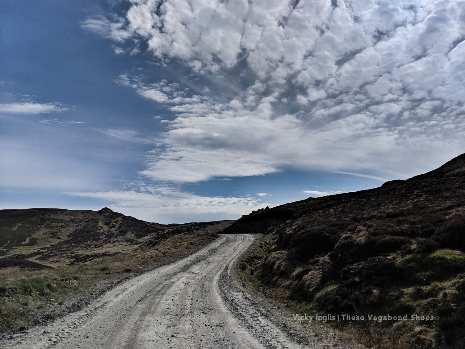
The weather had continued to be absolutely glorious, dry, warm, and sunny while I took a rest day, and I looked forward to getting back out into the hills to continue my trek. Feeling fit and refreshed I was dropped off at the point I left a couple of days ago, at the end of the access road to the bayrite mine at Foss. This time laden with abundant supplies of factor 50 sunblock.
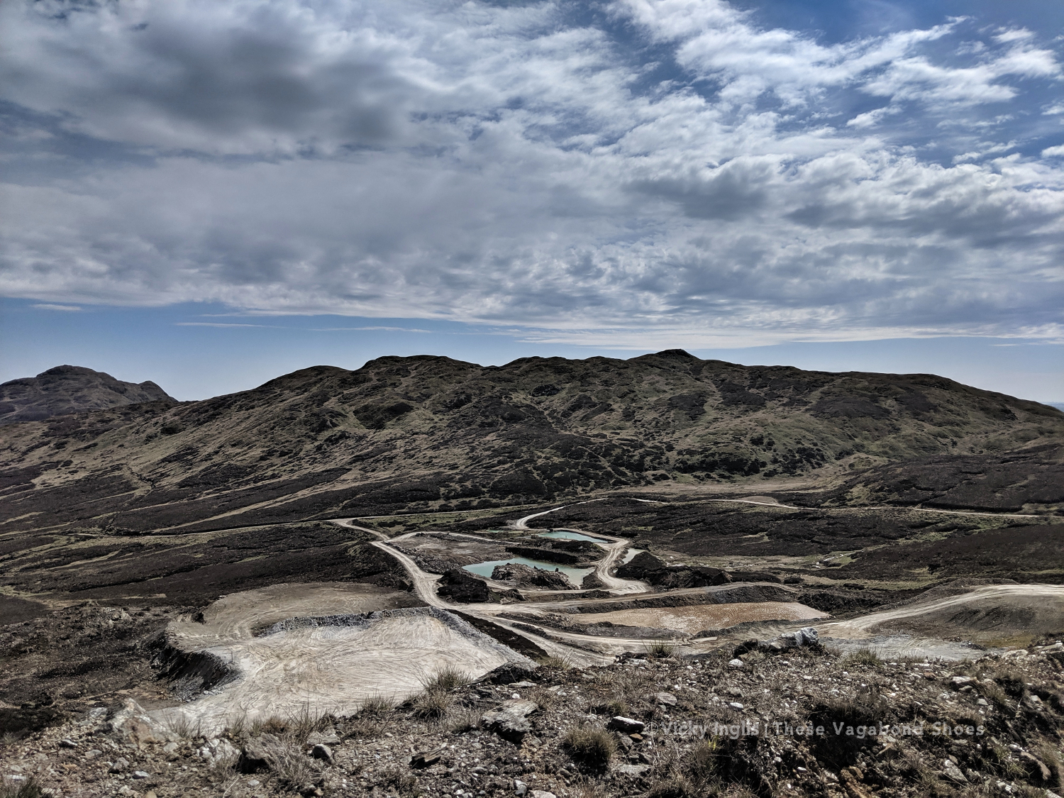
The road leading to the mine.
The bayrite mine at Foss.
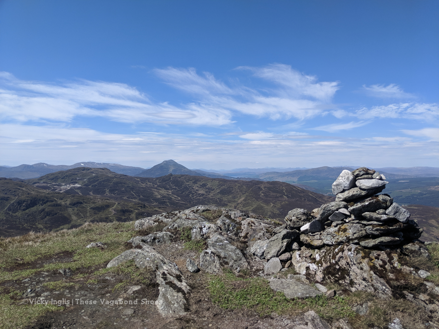
Schiehallion viewed from the top of Farragon Hill.
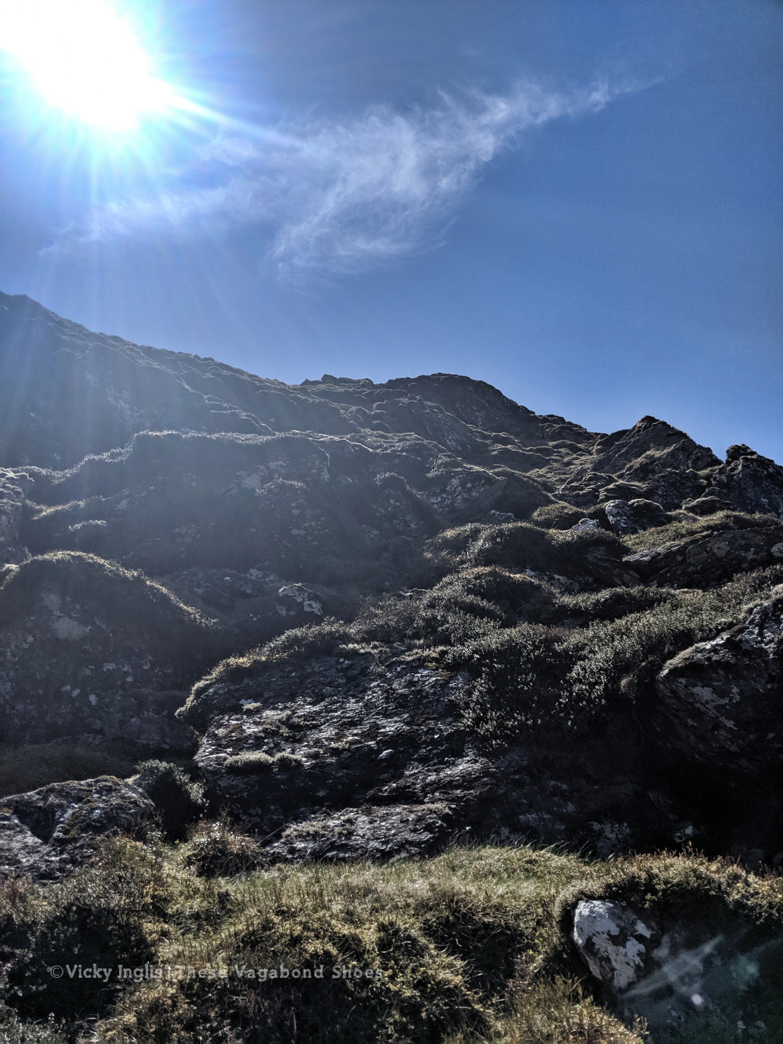
From Foss I headed up the track past the mine works to the tops of the Corbetts of Meall Tairneachan and Farragon Hill, bashing through the heather when the track ran out. The descent towards Strathtay was a little challenging, not least when I received a marketing call from my mobile phone provider on a steep section. I thanked them for their network coverage but suggested it wasn’t the best time to talk to them.
The way down the eastern side of Farragon Hill.
Old hill tracks on the side of Beinn Eagagach.
Lochans and bogs, oh my!
After reaching the hill track, I went around the shoulder of Beinn Eagagach, then followed the ridge of hills between Strathtummel and Strathtay. Just a little bit of bog scrambling, a lot of heather bashing, and being stalked by some deer as I went. From Clunie Woods, glad to get a bit of shade, I descended to meet the end of the Rob Roy Trail, crossed the A9 and reached Pitlochry.
The deer fence between Creag a’ Coire and Clunie Wood
Crossing the A9 with the end in sight
The suspension bridge over the River Tummel.
Saturday 18/5
TGO Day 7: Pitlochry to the Lunch Hut (Cateran Trail)
Distance: 22km
At the Black Spout, after the first rain in a week.
Edradour distillery
A last glimpse of Pitlochry.
Well, it would have been unrealistic to expect the fine weather to last for the full fortnight of the challenge. Shortly after reaching my accommodation in Pitlochry, the sky turned the colour of a bruise, and the rain thundered down through the night. So I was particularly glad I was indoors overnight and didn’t have to pack up a soaking tent before I started walking in the morning.
Swirling pollen in the puddles.
The first rain for a week washing away pine pollen.
The forestry road through Pitcastle Woods
I made my way through town to the Black Spout waterfall, through the woods to Edradour Distillery. At this point my route became a little bit freestyle, crossing grazing land on the side of Tom Beithe until I entered the forest and could pick up forestry tracks. then through the forestry land to Enochdhu, climbing a few deer fences on the way. Picked up the Cateran Trail to head to the Lunch Hut bothy, where I met the first other challengers I’d seen since I’d seen the Danes taking a coffee break at Rannoch Station.
The forestry road through Kindrogan Woods
Crossing the bridge in Enochdhu
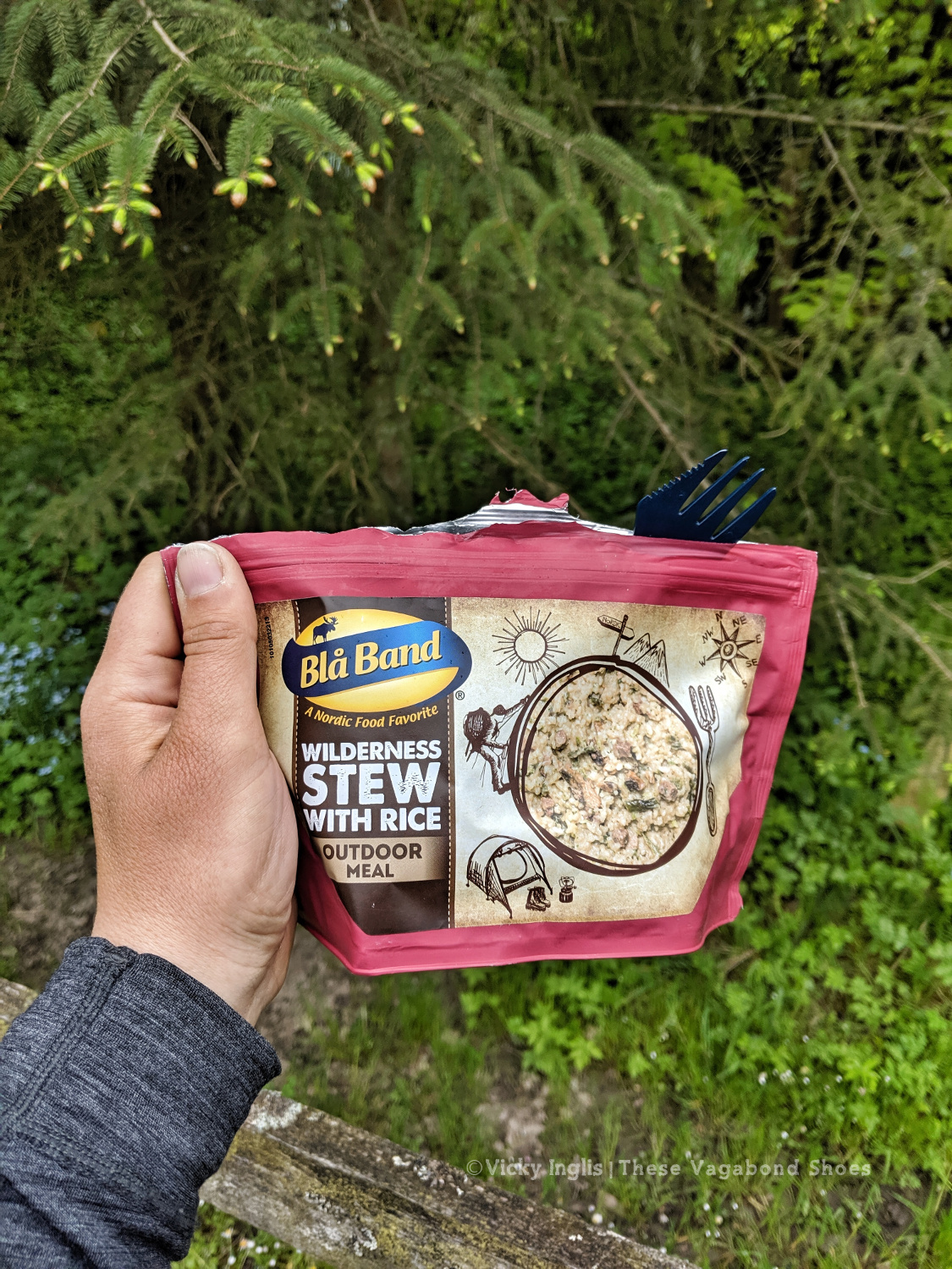
Treating myself to a fancy dinner to make up for the damp weather.
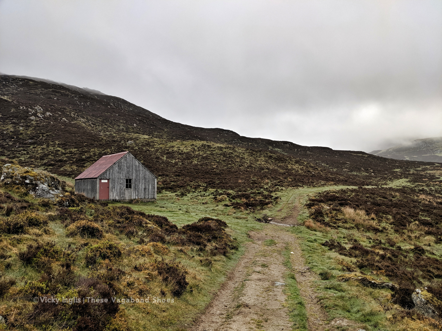
The Lunch Hut bothy, home for the night.
Sunday 19/5
TGO Day 8: The Lunch Hut (Cateran Trail) to Glen Doll
Distance: 31km
Ascent: 1734m
Two things contributed to my early wake-up, the slow deflation of my air mat through the night finally reaching the point where my hip touched the tabletop I was lying on, and a sheep bleating incredibly loud and close to the bothy. I gave it a hard Paddington stare through the broken window, then had the thought this is how a horror film would start. I whispered an apology to the sheep, so as not to wake my two bothy mates.
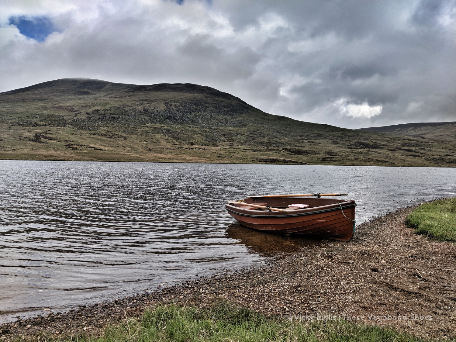
Overnight the fog had come in thick, obscuring everything further than 50 metres from the bothy. This wasn’t good, as I’d planned to head up high from Glen Shee, following hill tracks to start with, then bashing through the heather to Mayar, before descending into Glen Doll. As I headed over An Lairig, towards Spital of Glenshee, with Emma and Simon, I started to revise my route with their suggestions.
I decided on a longer route, staying at a lower level to make solo navigation easier for much of the day. We walked together on the Cateran Trail until Runvey, then Simon and I left Emma to continue on to Kirkton of Glenisla, while we headed for Loch Beanie. There, we parted ways and I continued to ascend to the shoulder of Monamenach and down into Glen Isla.
Rowing boat on Loch Beanie.
Looking towards the head of Glen Isla
I quickly ascended out of the glen to Mid Hill and Tarmach Cairn on hill tracks, following them in an arc to Broom Hill, before leaving them behind to descend into Glen Prosen by the Glack of Balquhader. I’d been keeping a weather eye during the trek, and it hadn’t cleared on the high ground, where the last stage of the route was going to take me.
The footpath between Glen Prosen and Glendoll known as the Kilbo Path crosses the col between the Munros of Driesh and Mayar, and was the highest point of my revised route. The mist was moving in and out while I stopped for a meal, but from my memory and according to the map, the track looked distinct, so I felt confident enough to get across into Glendoll before the light faded.
Crossing between Glen Isla and Glen Prosen.
When you’re down here and need to be up there.
At the top of the path, the visibility closed in to be just a few metres in the cloud, but enough that I could pick out the deer fence along the back of Corrie Shalloch to handrail to the top of the descent on the Shank of Drumfollow, and make my way down into the valley. The path through the logged forestry was rough, but it meant I was counting down the last couple of kilometres to my camp. Finally, after 31km with over 1700m of ascent, getting on for 9pm, I was at the place I wanted to be.
At the top of the Kilbo Path between Glen Prosen and Glendoll.
The cloud clearing to reveal the back wall of Corrie Sharroch. Glad of the deer fence.
Descending the Shank of Drumfollow.
First glimpses of the Glendoll visitor centre, and the end of the day’s walking.
Monday 20/5
TGO Day 9: Glen Doll to the Clova Hotel
Distance: 5.5 km
I rolled reluctantly out of bed and started packing the tent away slowly. My intended route for the day was another high one, climbing up from Glen Doll to White Bents and Boustie Ley, then picking up the track above Loch Brandy to head over to Tarfside. But no amount of coffee was giving me the motivation to attempt it, especially as the glowering low cloud was still obscuring the tops.
Finally ready to go, after chatting to a conservation team preparing pack horses for heading up to work on Davy’s Bourach, I set off along the road towards the Clova Hotel. I’ve walked this road a few times, and head down, powering along is the only way. I was reliving memories of my Silver Duke of Edinburgh expedition, and the oppressive clouds started to lift. It might be ok after all.
It wasn’t. About 200 metres shy of the Clova Hotel, the clouds burst and I was nearly soaked through before I could get my waterproofs on. I stepped up my pace, and through the mirk, saw a wonderful sight. John was standing in the road with a golf umbrella, having reached the end of his road trip, decided to come and check up on how I was doing.
Whisked off for a huge pancake breakfast and more coffee at Peggy Scott’s in Finavon, I checked the weather forecast. While the coast was going to be dry and sunny, the heavy rain was slowly creeping across the glens for the rest of the day, a big blue dot sitting directly over the Mounth. As I still had a day in hand to finish the challenge, I called it and decided to bail out the rest of the day and continue the following morning.
Read the next instalment of my TGO journal here, and catch up on the previous entry here.
You could walk for 500 miles, and then you would walk for 500 more. That’s just how beautiful Scotland is. Sweeping, wide-open moors, historic castles, picturesque lochs, ancient forests, and craggy mountains form the hauntingly beautiful backdrop for some of the finest long-distance walks in the UK.
But enough havering; Scotland’s long-distance routes are a fantastic way to get outdoors, and explore some of the country’s most spectacular landscapes on foot. Not only that you’ll also be treated to close encounters with nature, the freshest air, and the freedom that comes with being out in wild and remote areas.
Just because these routes take multiple days to complete, don’t be put off by the thought of not having enough time. The trails don’t have to be completed in one go and can be broken down into bite-sized chunks to fit into weekends and single days that are just as enjoyable.
Here are, in my opinion, the greatest of the long-distance trails in Scotland. The routes vary greatly in character, from waymarked cross-country trails like the ever-popular West Highland Way to unofficial, often pathless, challenges aimed at experienced backpackers, like the Cape Wrath Trail.
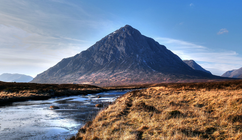
Buachaille Etive Mòr, at the head of Glen Etive, has one of the most distinctive mountain profiles in Scotland. Photo Credit: Phelan Goodman Flickr on cc