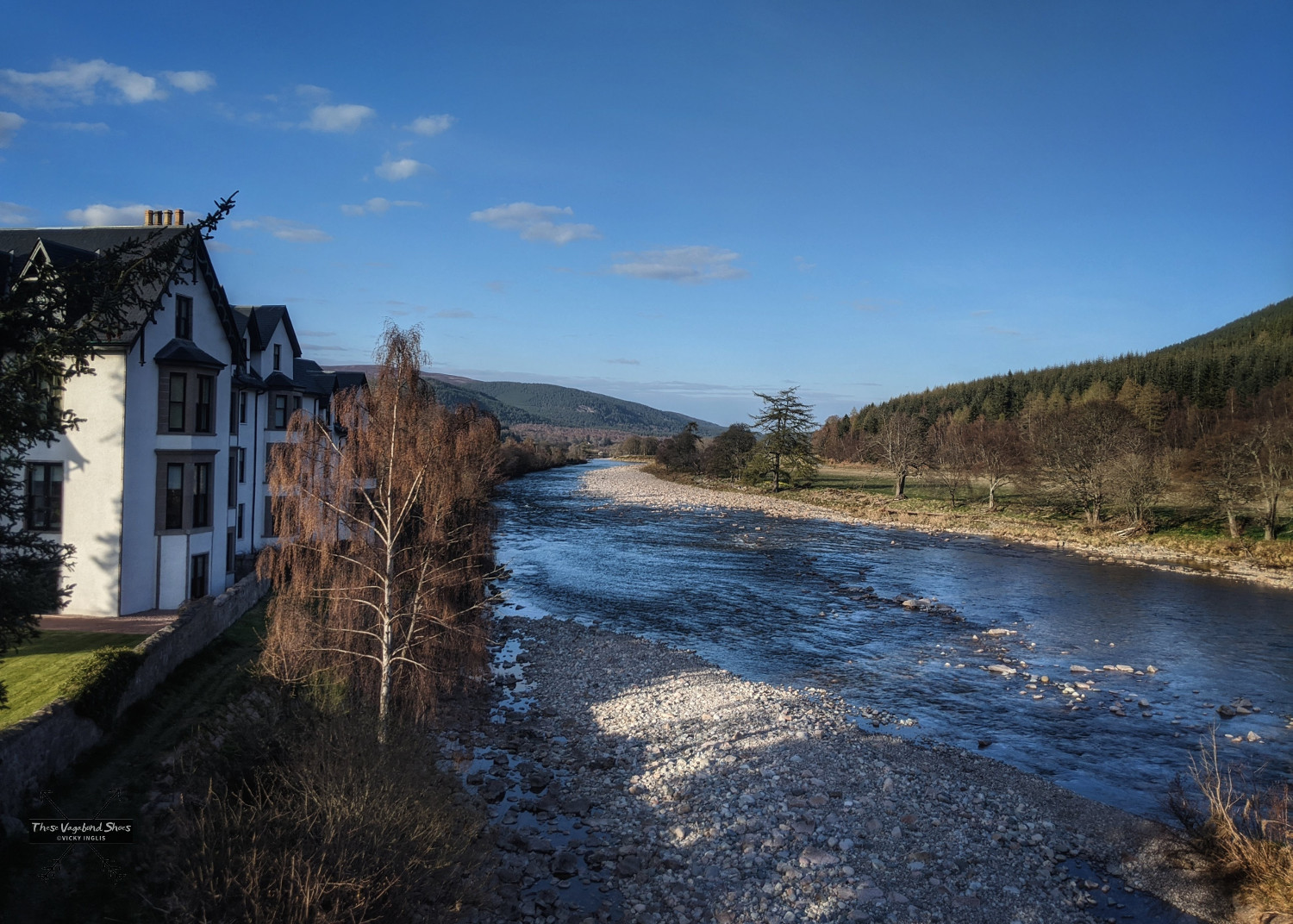
Ballater, in Aberdeenshire, is a gateway to the Cairngorms National Park and a popular base for visitors looking to explore the Eastern Cairngorms and Royal Deeside areas. The picturesque town arranged in a grid around a large green on the banks of the impressive River Dee, has longstanding royal connections, a rich and interesting history, and good access to the more wilder parts of the countryside.
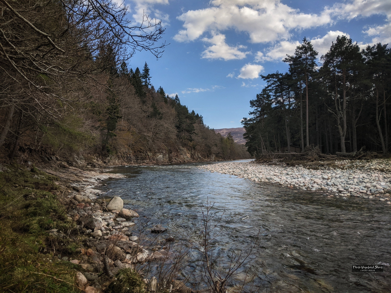
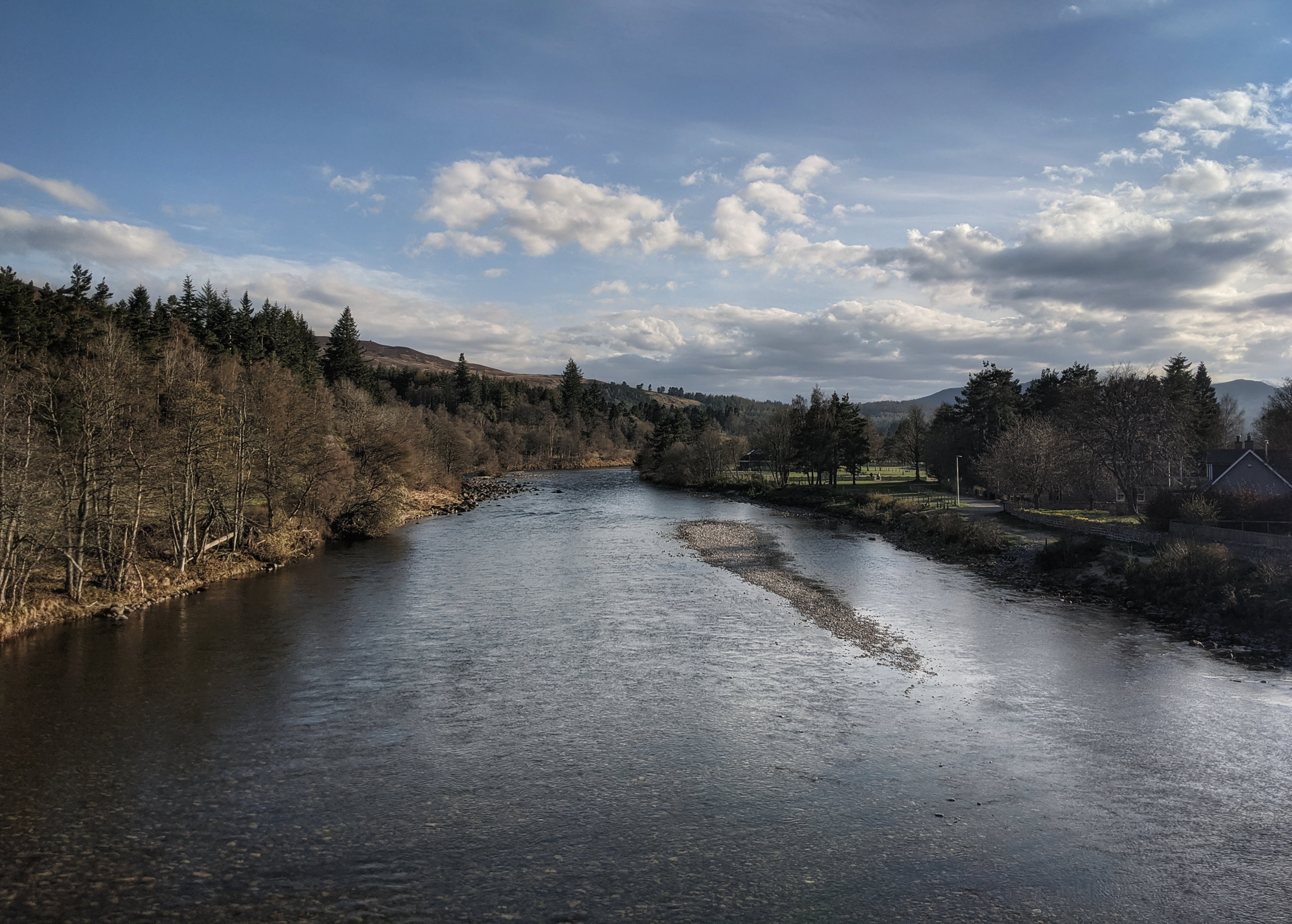
The River Dee rises high on the Cairngorm Plateau, tumbling around 137km (85 miles) down to the sea in Aberdeen. It has the reputation as one of the finest salmon fishing rivers anywhere in the world, and is a protected area for wildlife, like the salmon, otters, and freshwater pearl mussels found in its waters. The area on the south side of the river is also protected in recognition of its importance for golden eagles.
This walk shows off some of the most beautiful landscapes of the middle reaches of the River Dee, and had some excellent opportunities for spotting wildlife.
The Seven Bridges Walk from Ballater
- Route length: 8.7km (5.4 miles) circular route
- Ascent: 126 metres (413′)
- Approximate hiking time: 2 – 2.5 hours
- Difficulty: easy
A circular walk along the River Dee to Polhollick suspension bridge from Ballater, with an optional diversion to Knock Castle. You can find more details about the route, including a map, on my ViewRanger.
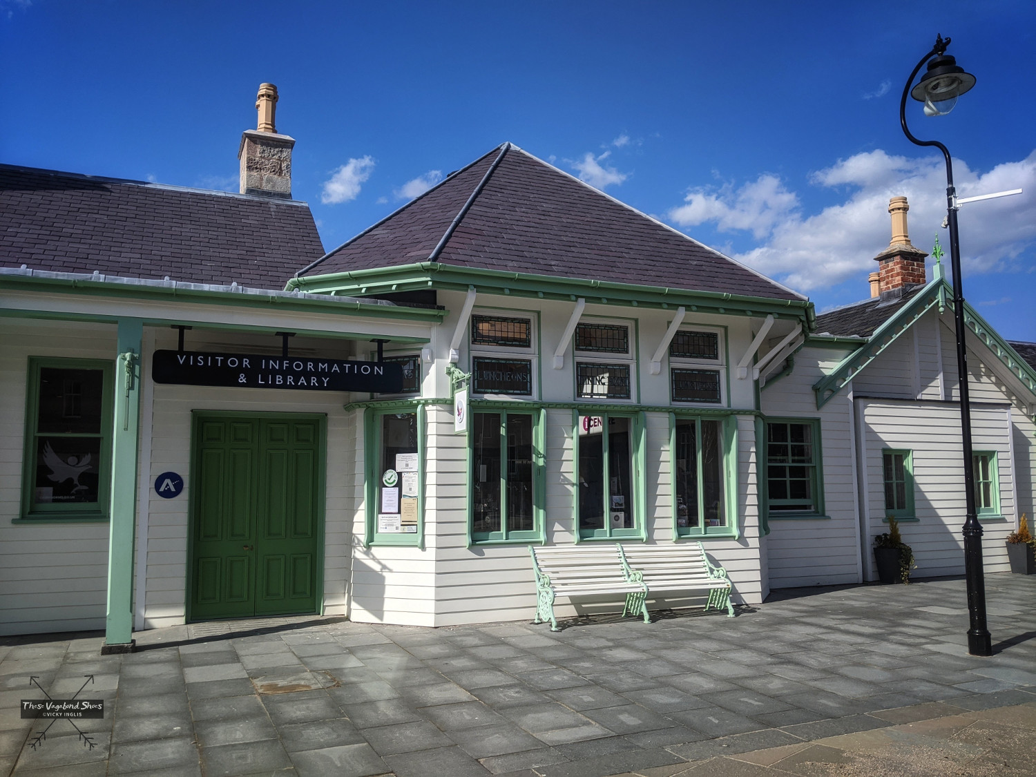
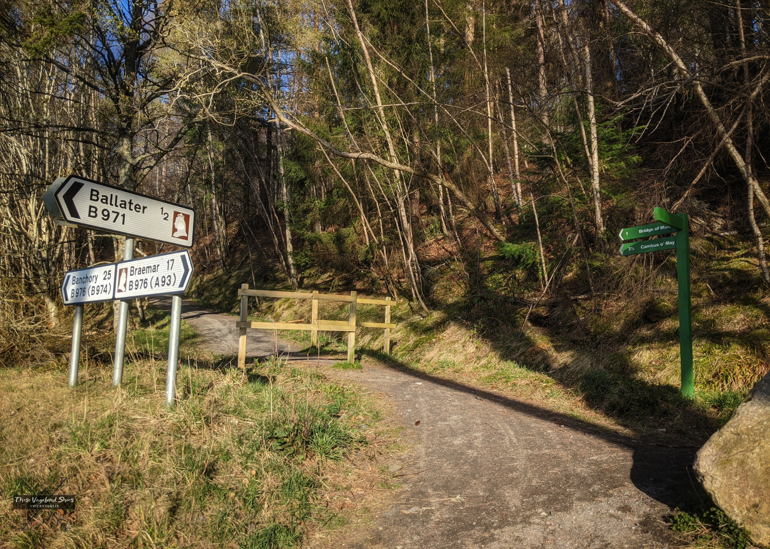
From the tourist information centre in the old railway station in Ballater, head through the town southeast along Bridge Street, towards the bridge over the River Dee onto South Deeside Road. The Royal Bridge, opened by Queen Victoria in 1885 and surviving a number of great floods on the river, is bridge number one on the walk.
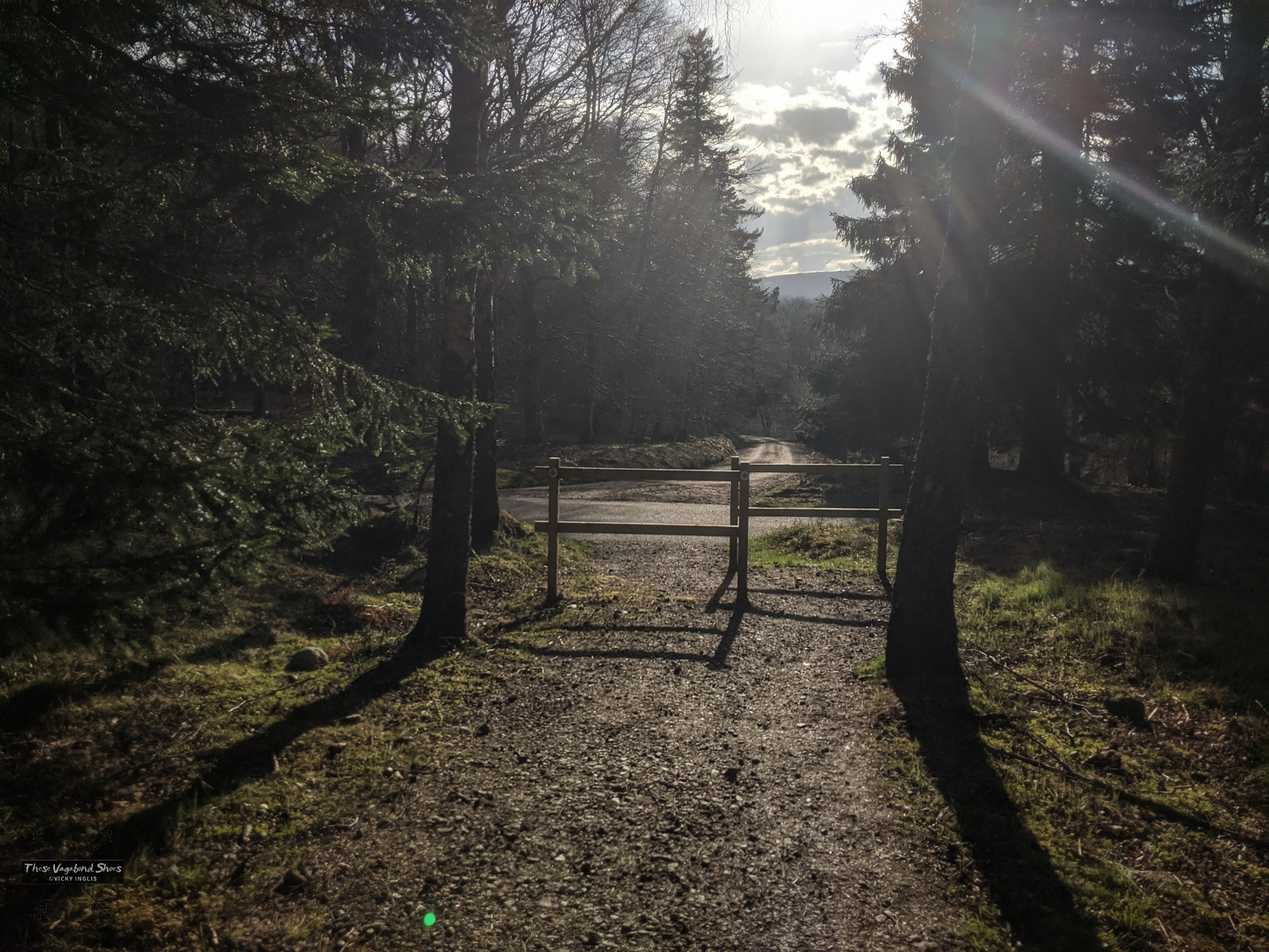
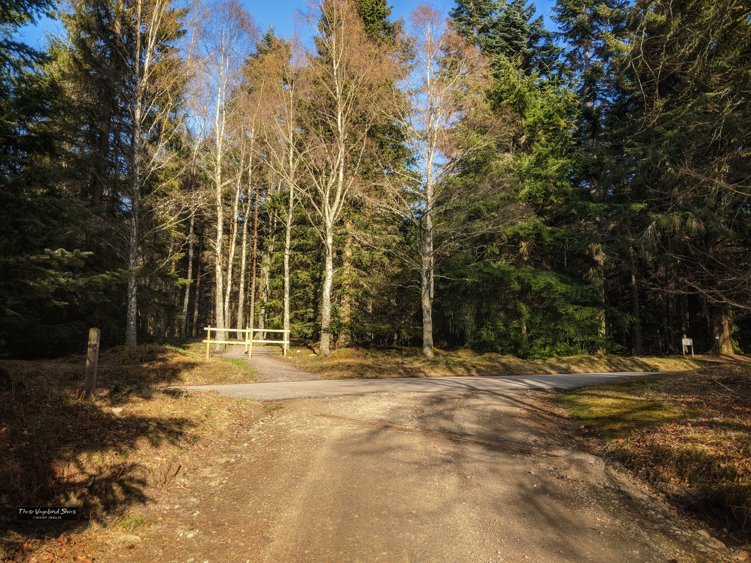
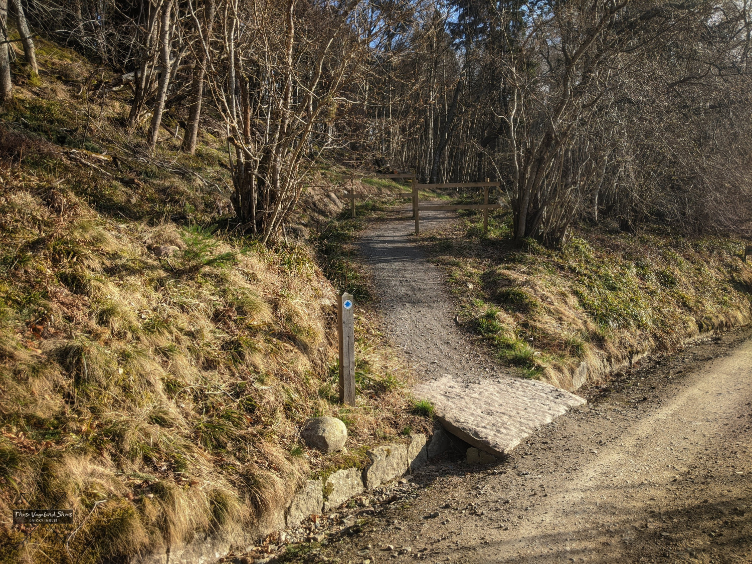
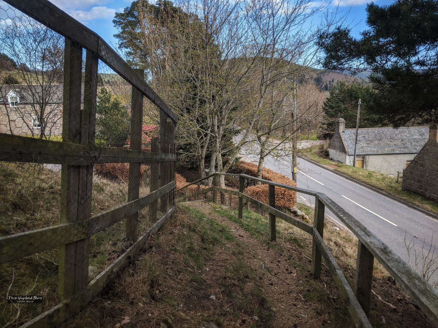
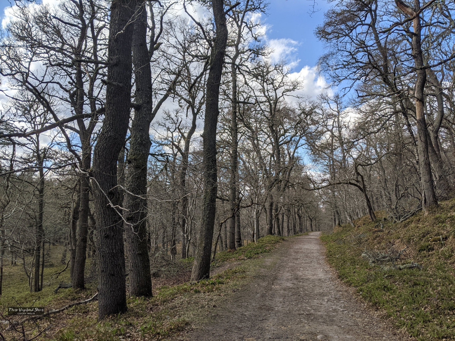
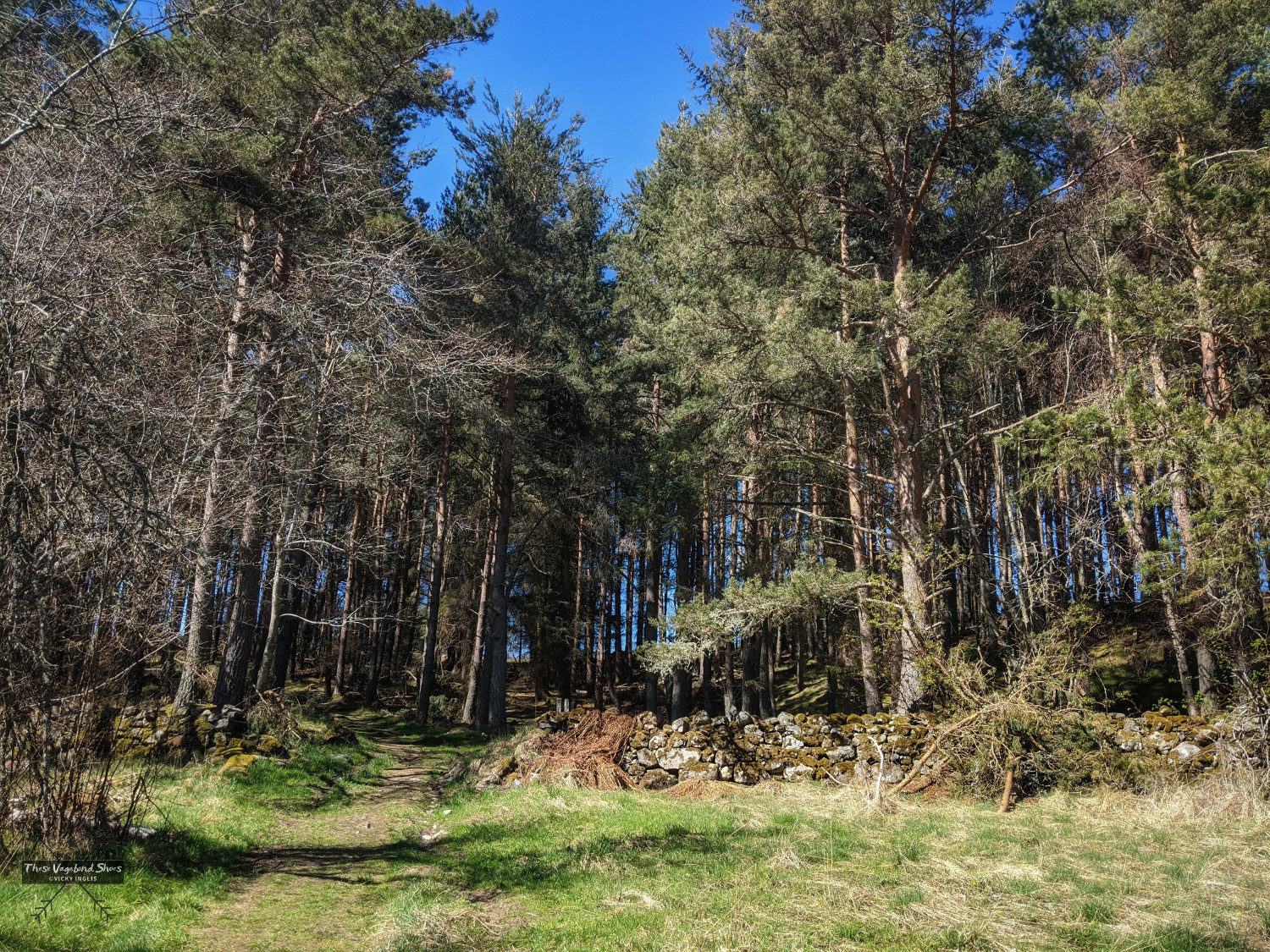
Directly across the junction is a fingerpost sign marking a well-surfaced trail into the woods; follow that up a short rise then turn to your right to find the route towards Bridge of Muick, marked with blue waymarks. Do not walk along the roadside here, as it is a winding country road with no safe footway for at least one kilometre.
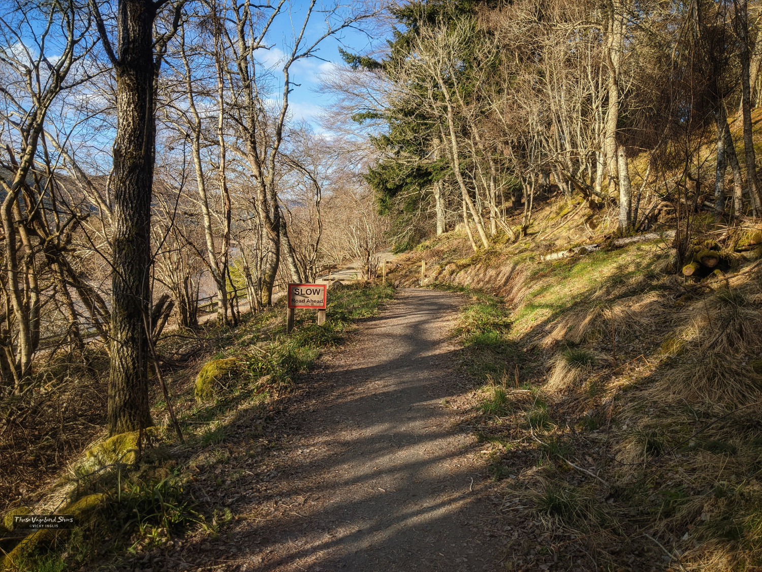
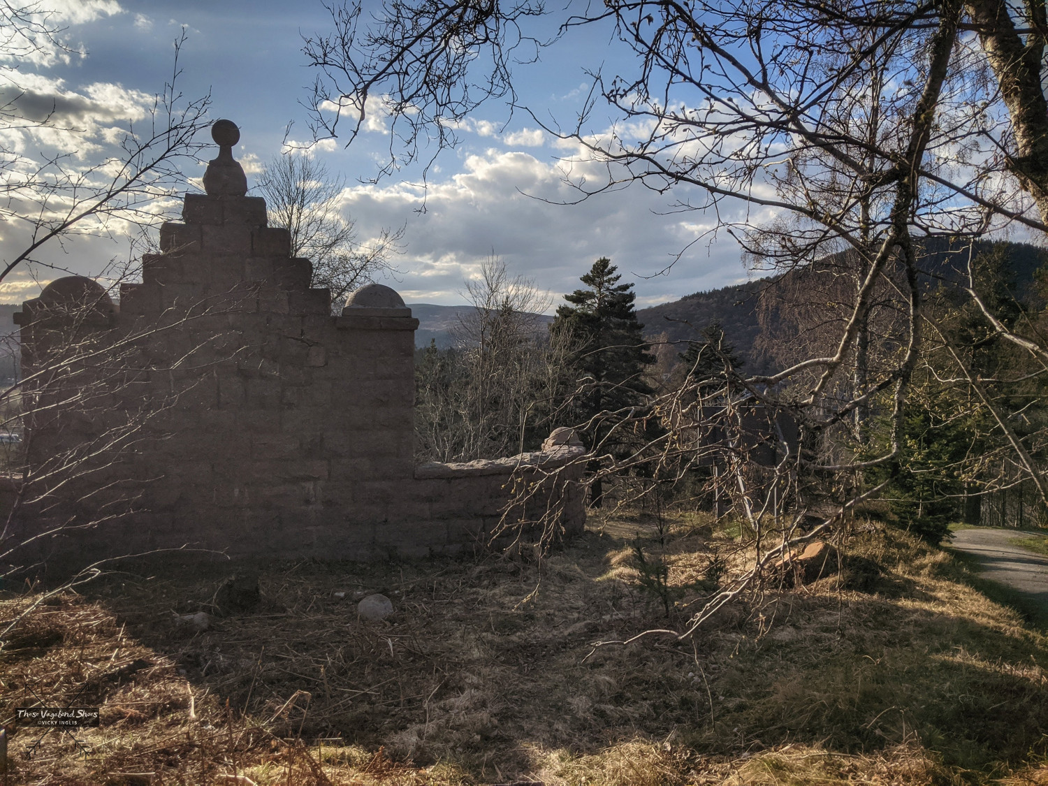
Follow the trail through the woods for a short distance to reach the huge pink granite edifice of the Mackenzie Monument, with views across the River Dee to Ballater. It commemorates Sir Allan Russell Mackenzie, 2nd Baronet of Glenmuick, who was closely involved in civic improvements in Ballater and a good friend of the royal neighbours at Balmoral.
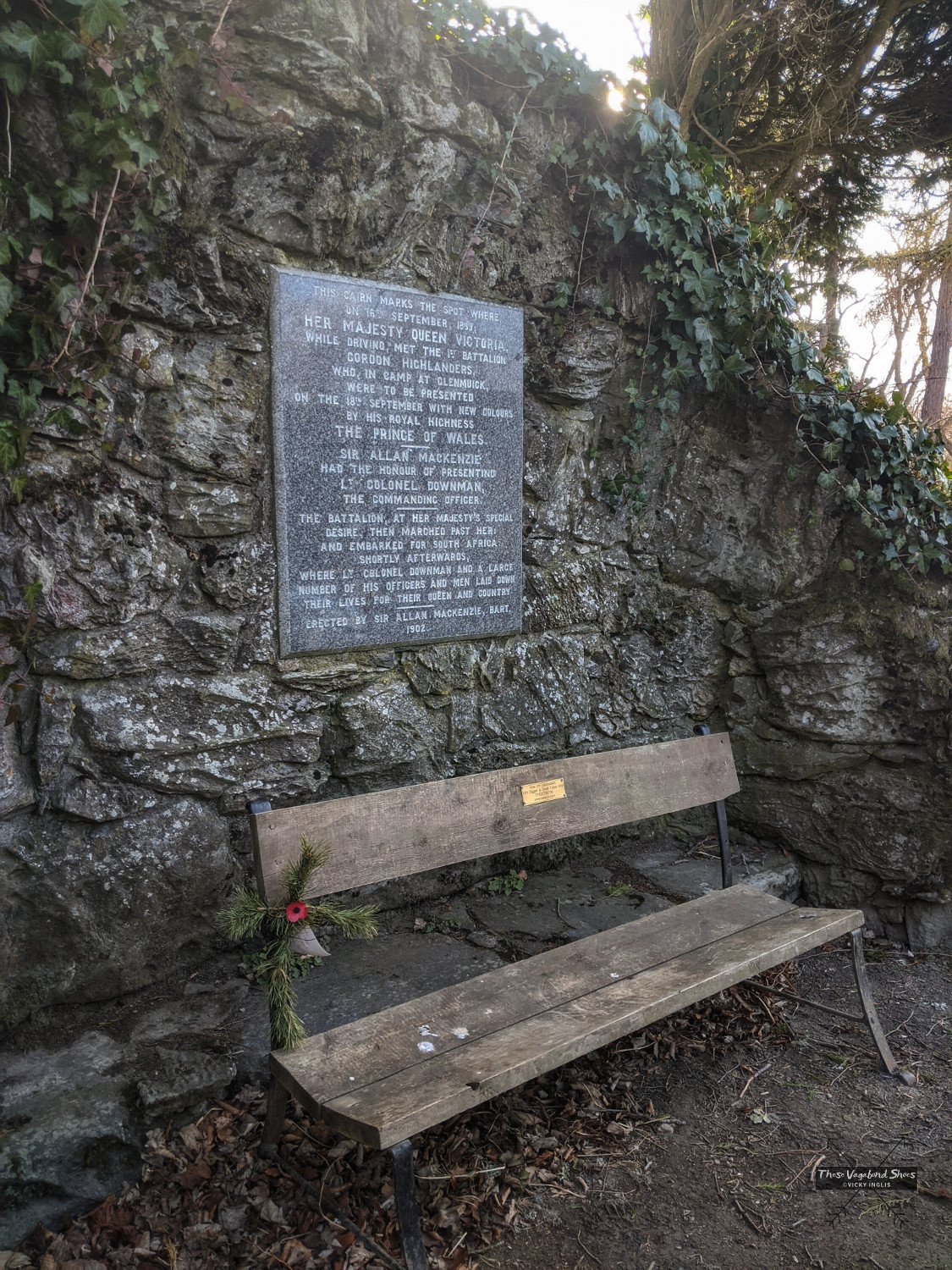
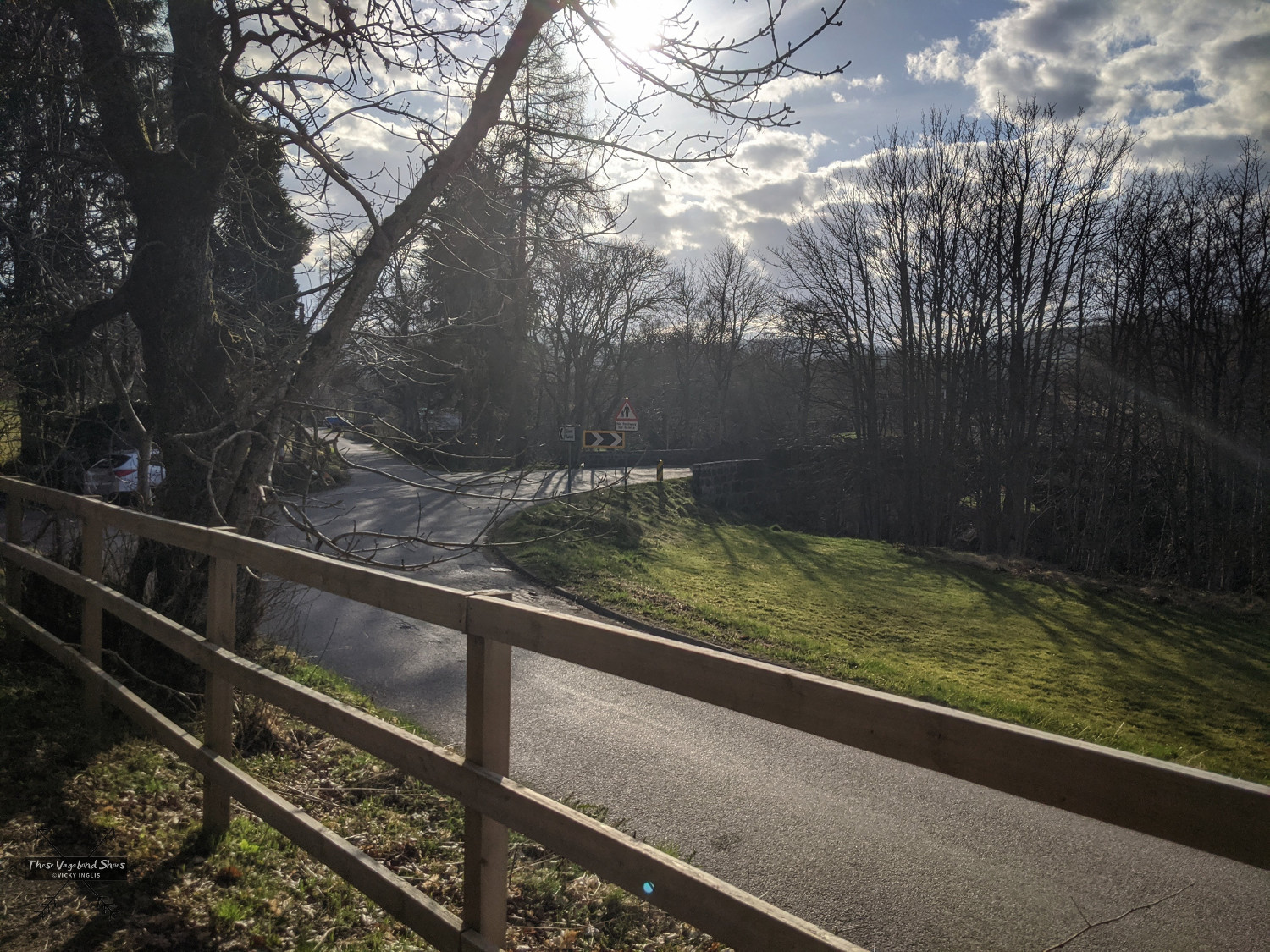
After approximately 1km, the route joins the road for a short distance by the cottages to cross the second bridge, over Brackley Burn, before joining a track running parallel to the road for around 200 metres. At the end of the track, the route emerges on a bend in the road just before Bridge of Muick, the third bridge on the route. A large plaque on the corner notes that on this spot in 1899, Queen Vic, in the company of Sir Allan of the monument, inspected the local regiment, the 1st Battalion Gordon Highlanders, prior to their deployment to South Africa in the Boer War.
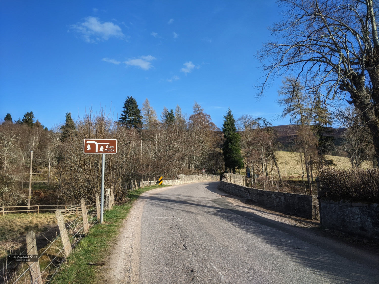
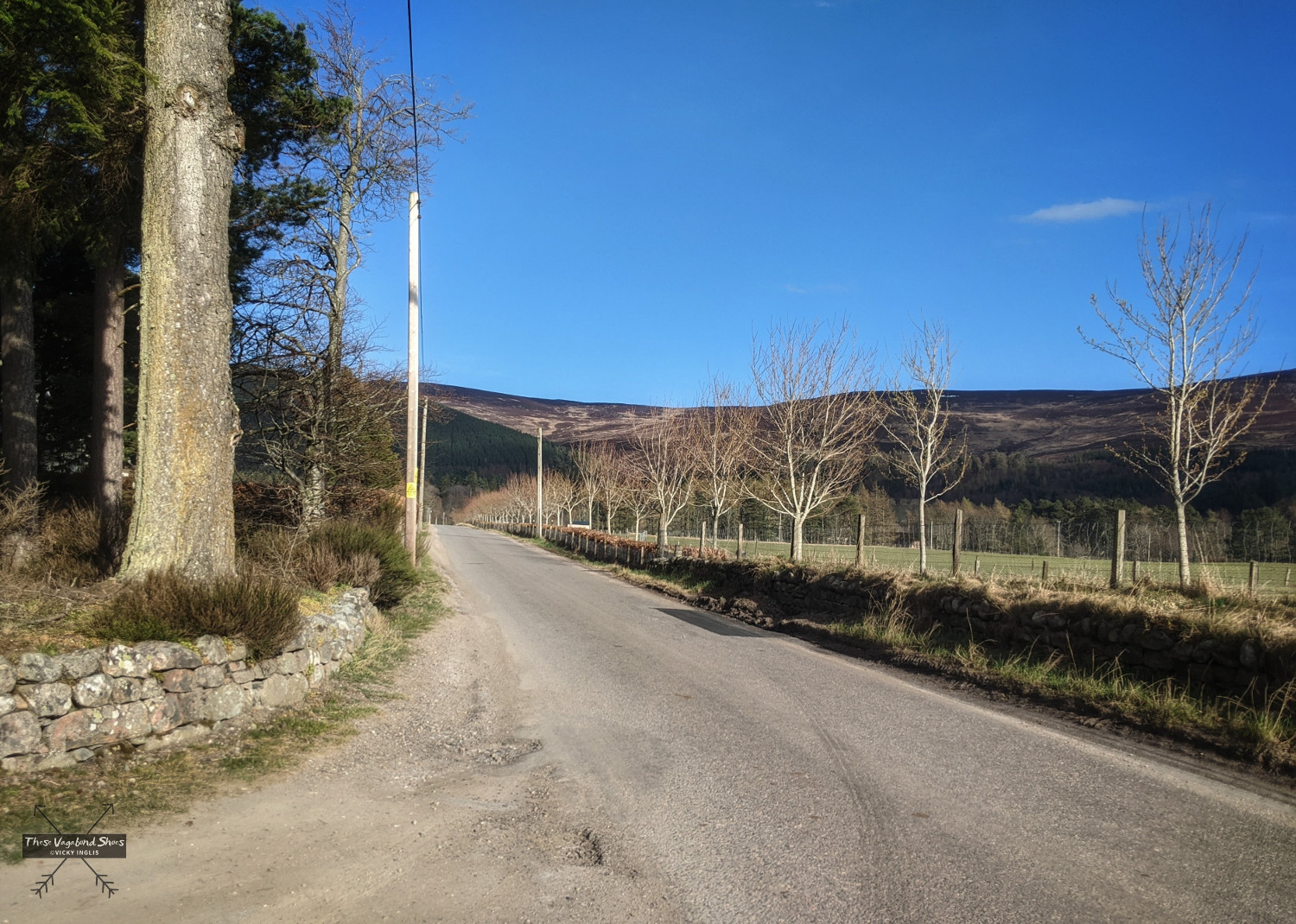
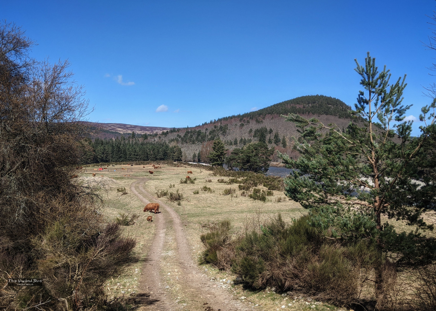
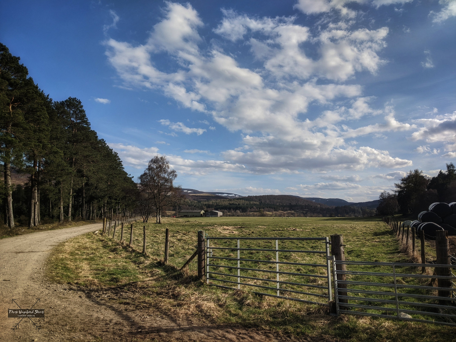
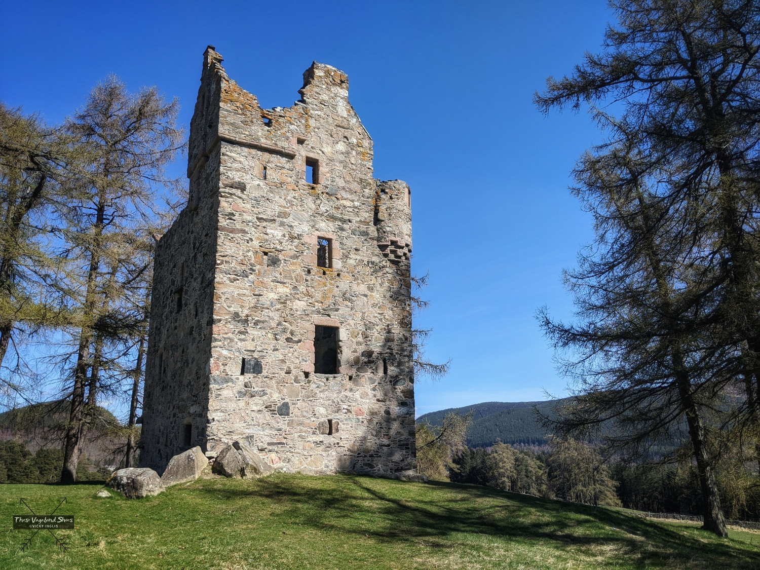
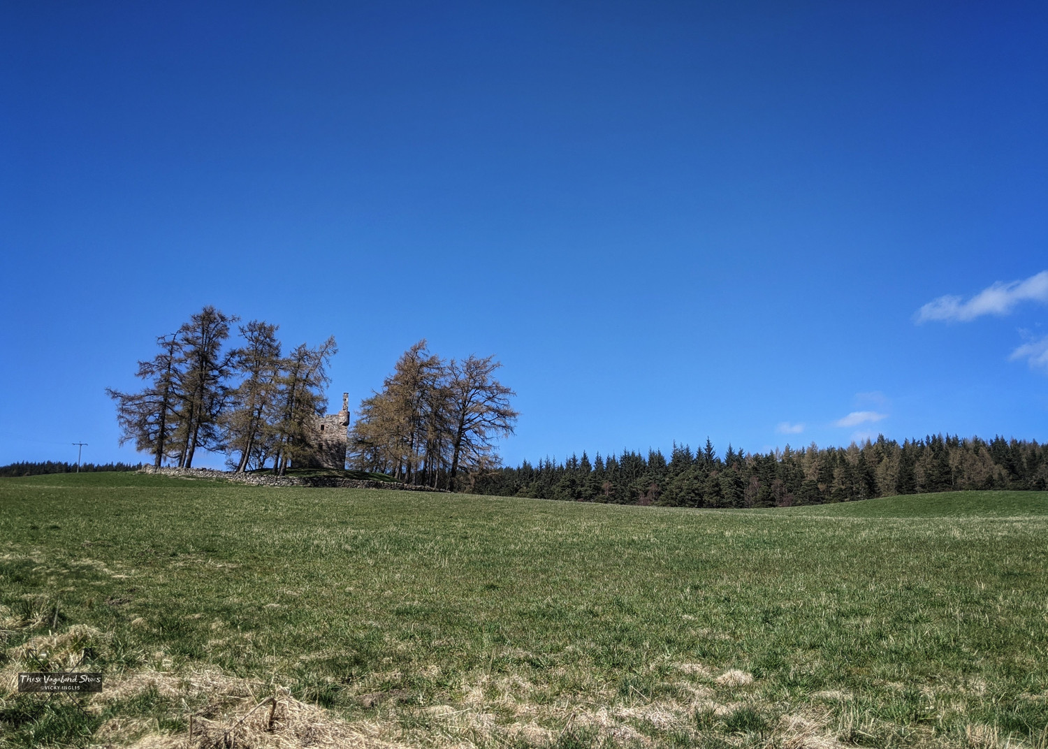
The route follows the straight road for around 700m to a junction with a gravel road just before Dalliefour farm, passing fields often used for grazing heilan coos, those photogenic shaggy-haired highland cattle, both with the more familiar red-dun and traditional black coats. At this point you can make a diversion to Knock Castle, a 16th century ruin with a colourful history, adding an extra 2km to the route, or continue along the gravel road towards Polhollick.
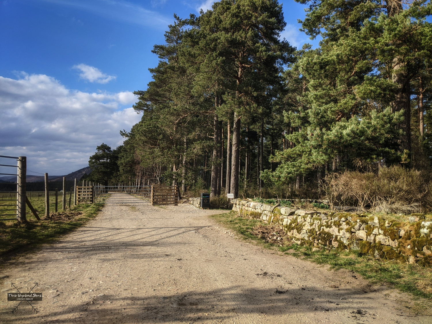
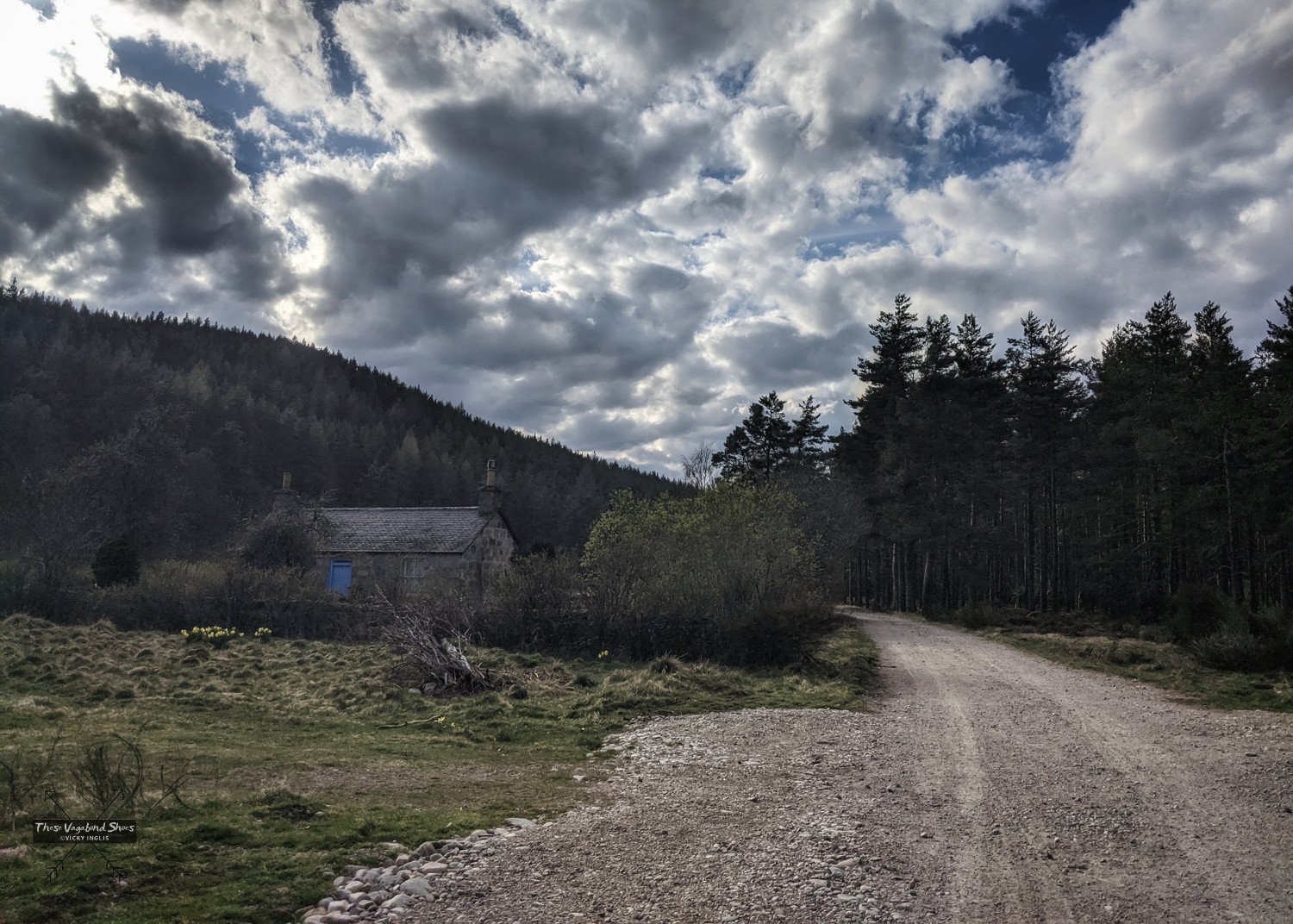
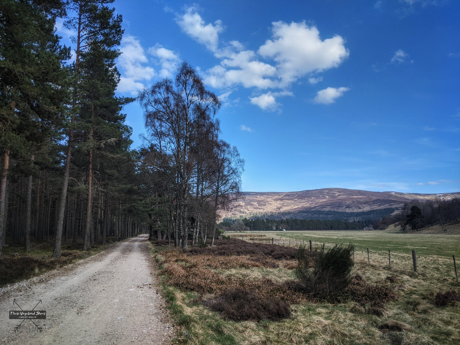
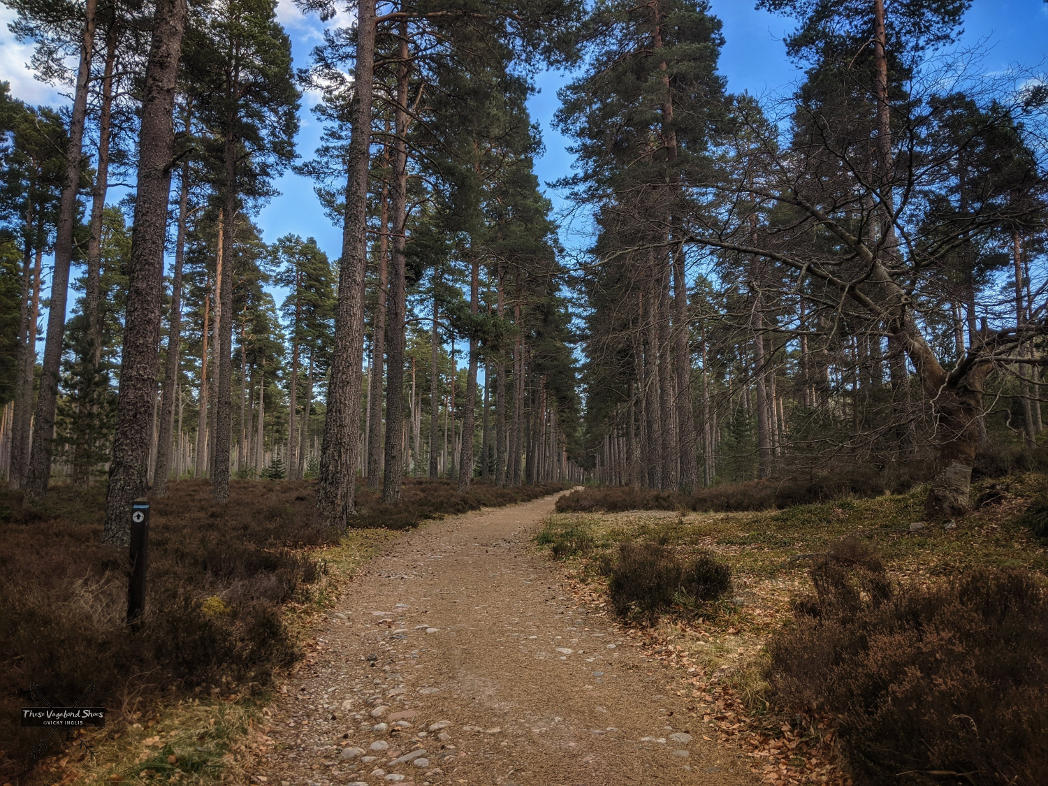
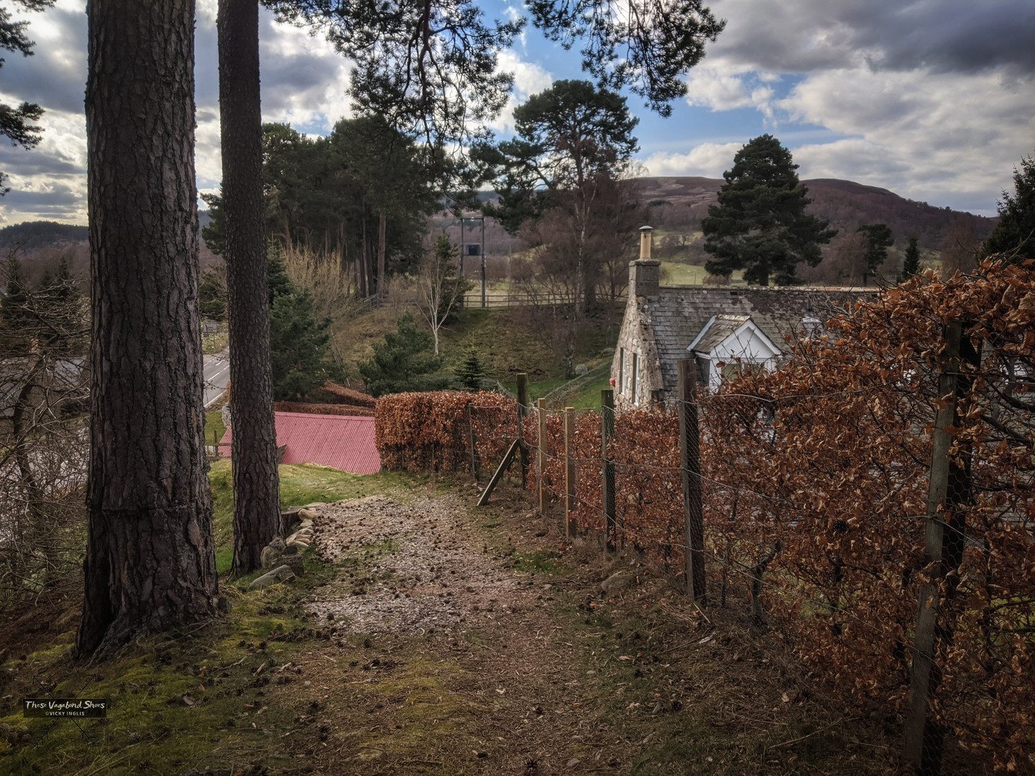
The gravel road runs almost dead straight towards the forestry plantation of Dalliefour Woods (also spelled Dallyfour and Dalhefour within the space of two grid squares on the OS Map), passing another field of coos, and the tiny wee cottage that is my dream house. The track has great views over to Ballater, nestled under the oak-clad slopes of Craigendarroch, and is always a good location to look out for raptors, hares, and roe deer.
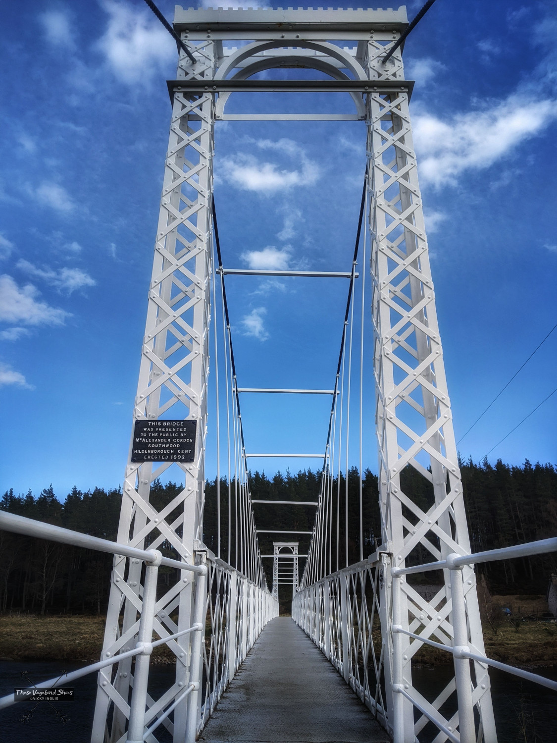
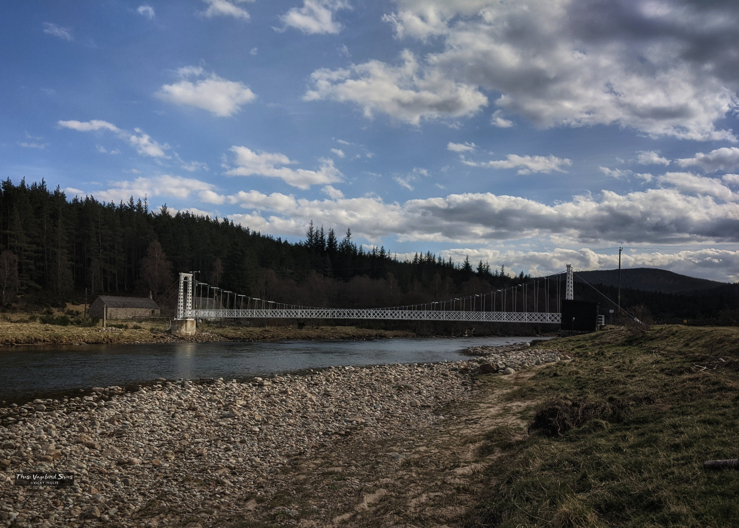
At the far edge of the wood the white-painted suspension bridge of Pollhollick comes into view, bridge number five (the fourth is an indistinct culvert on the forestry road, over a small burn running from behind Knock Castle). The bridge was fabricated by Abernethy and Co of Aberdeen in 1892, who produced several similar suspension bridges that cross the Dee, and gifted to the local people by Alexander Gordon of Kent. It was seriously damaged in the extreme flooding that followed Storm Frank in December 2015, but is now fully restored.
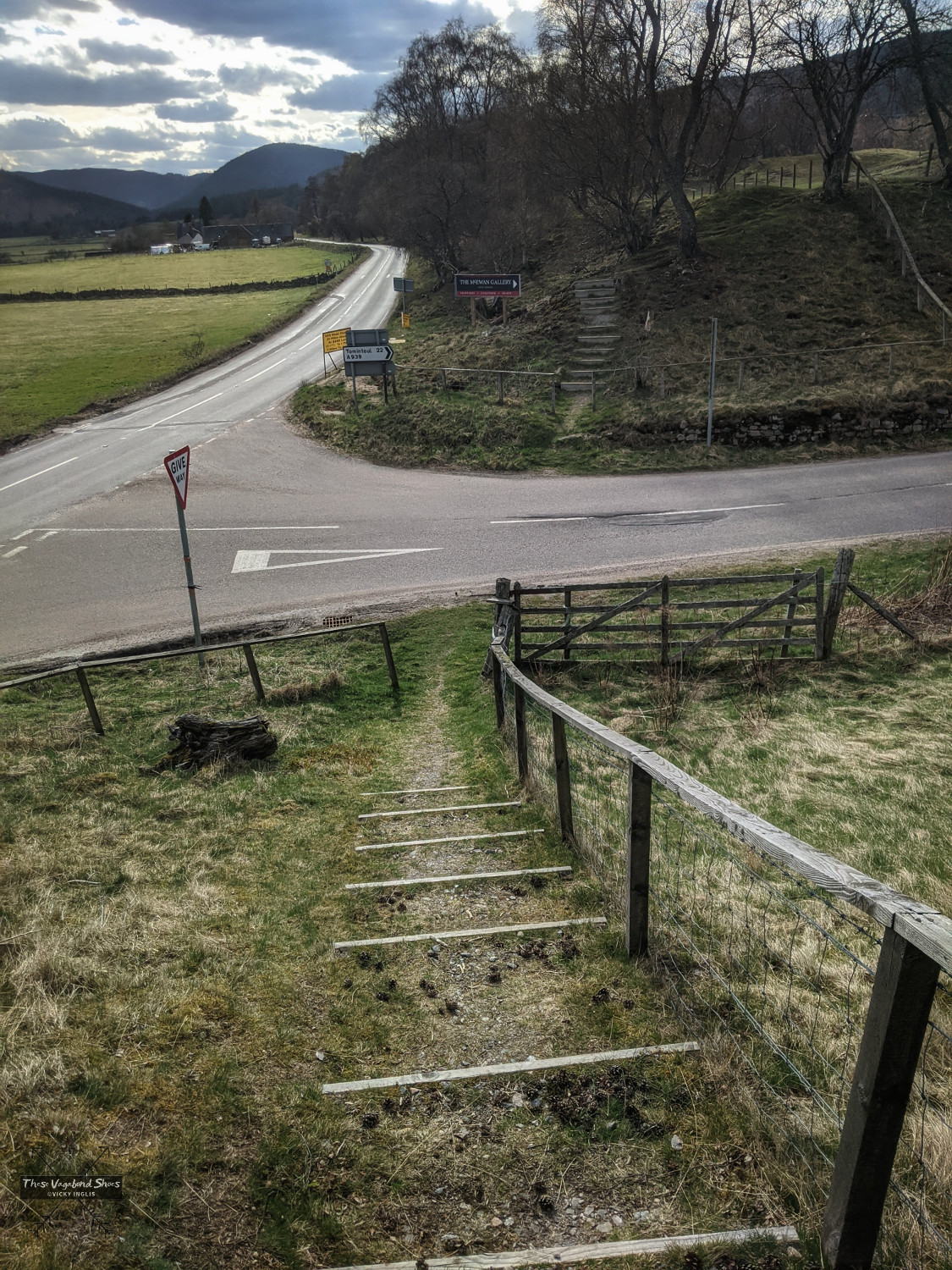
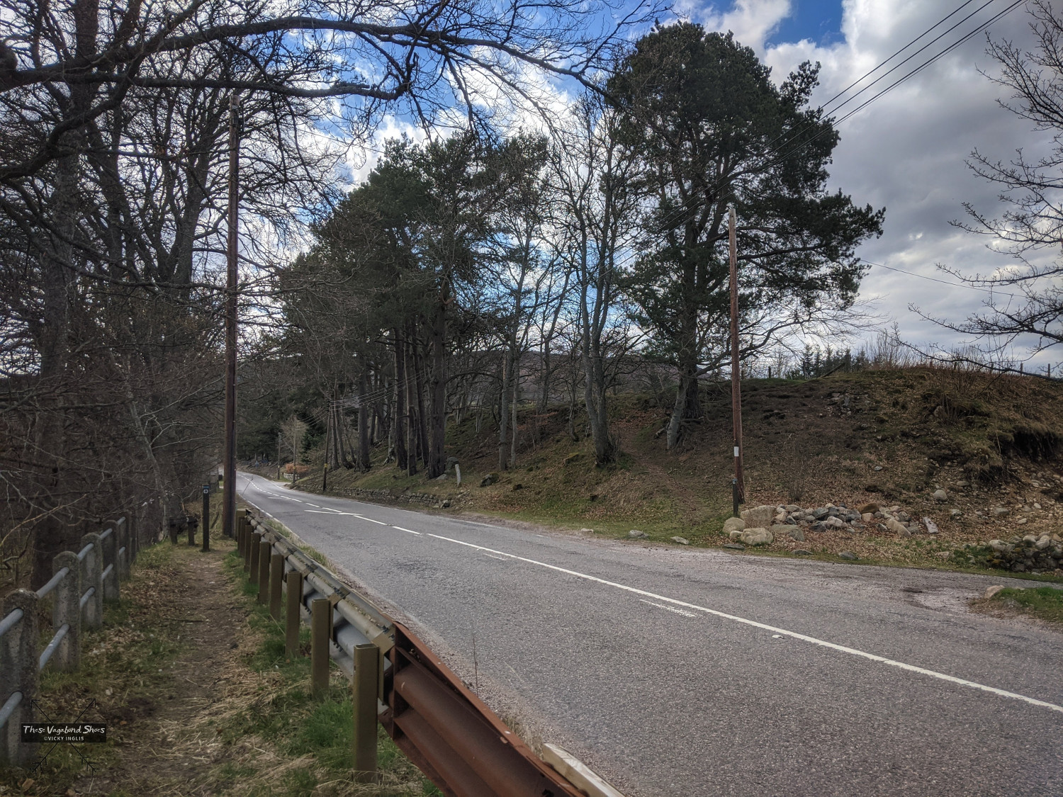
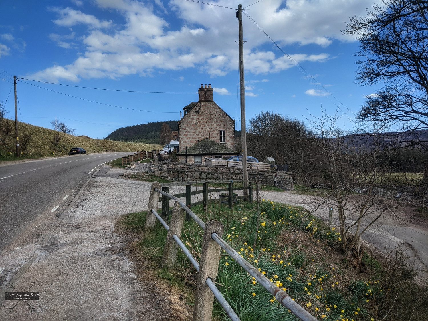
Over the bridge, the track dog-legs away from the river towards the main A93 road. Cross the road, and follow the waymarking to pick up a track that runs along the top of the embankment parallel to the road. Descend the steps to cross the A939 at the junction, and continue on the track for another 250 metres, emerging on the side of the A93 at Bridge of Gairn. Cross the road, then the sixth bridge on the walk, to find a waymarked track between the houses and farm buildings.
The narrow footpath becomes a wide, well-surfaced track leading the last kilometre and a half back into Ballater along the riverside. It was intended to hold the final stretch of the Deeside railway line towards Crathie and Braemar, but due to Victoria’s objection, it was never constructed. The final bridge on the route is a small wooden bridge that crosses a steep drop down to the water, known as Postie’s Leap. According to local legend, a postman fell or leapt to his doom after being jilted the night before the wedding. It’s a beautiful viewpoint back along the River Dee.
From the edge of town you have two options: continue on the riverside footpath around the back of the golf course towards the caravan park, or follow the track towards the houses to meet the roads that will lead you back towards the Old Railway Station.
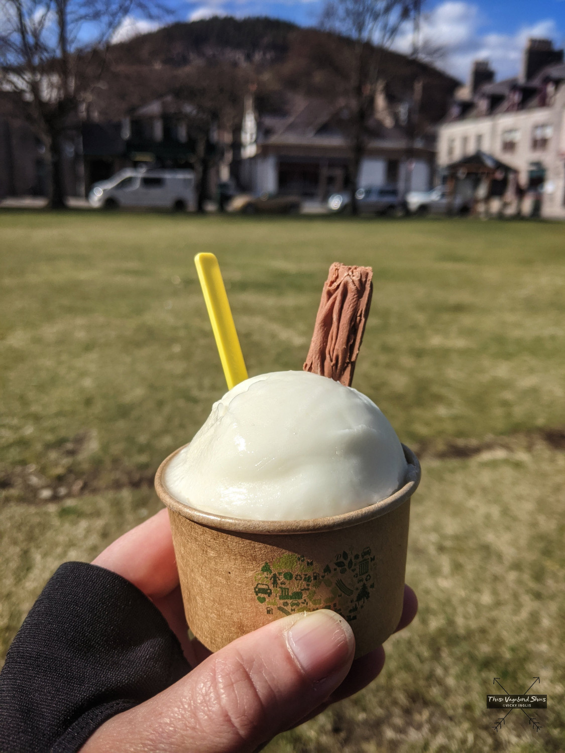
There are several cafes and coffee shops in Ballater where you can find post-walk refreshments, such as The Bothy and the Bridge House Cafe, though some close for winter. There’s also the Balmoral Bar, if you’re in need of something stronger, and Shorty’s Ice Cream Parlour, for a sweet treat on a hot day.
Knock Castle Extension:
Knock Castle is a ruined, but still imposing, 16th century towerhouse, in a commanding location below the Crag of Knock, overlooking the River Dee and guarding the entrances to Glen Muick. Knock was home the Gordon family, who held a longstanding blood feud with their neighbours, the Forbes family. It is typical of the homes of the landed gentry of the time, and visible beneath the windows are shot holes for defensive pistol fire to deter raiders.
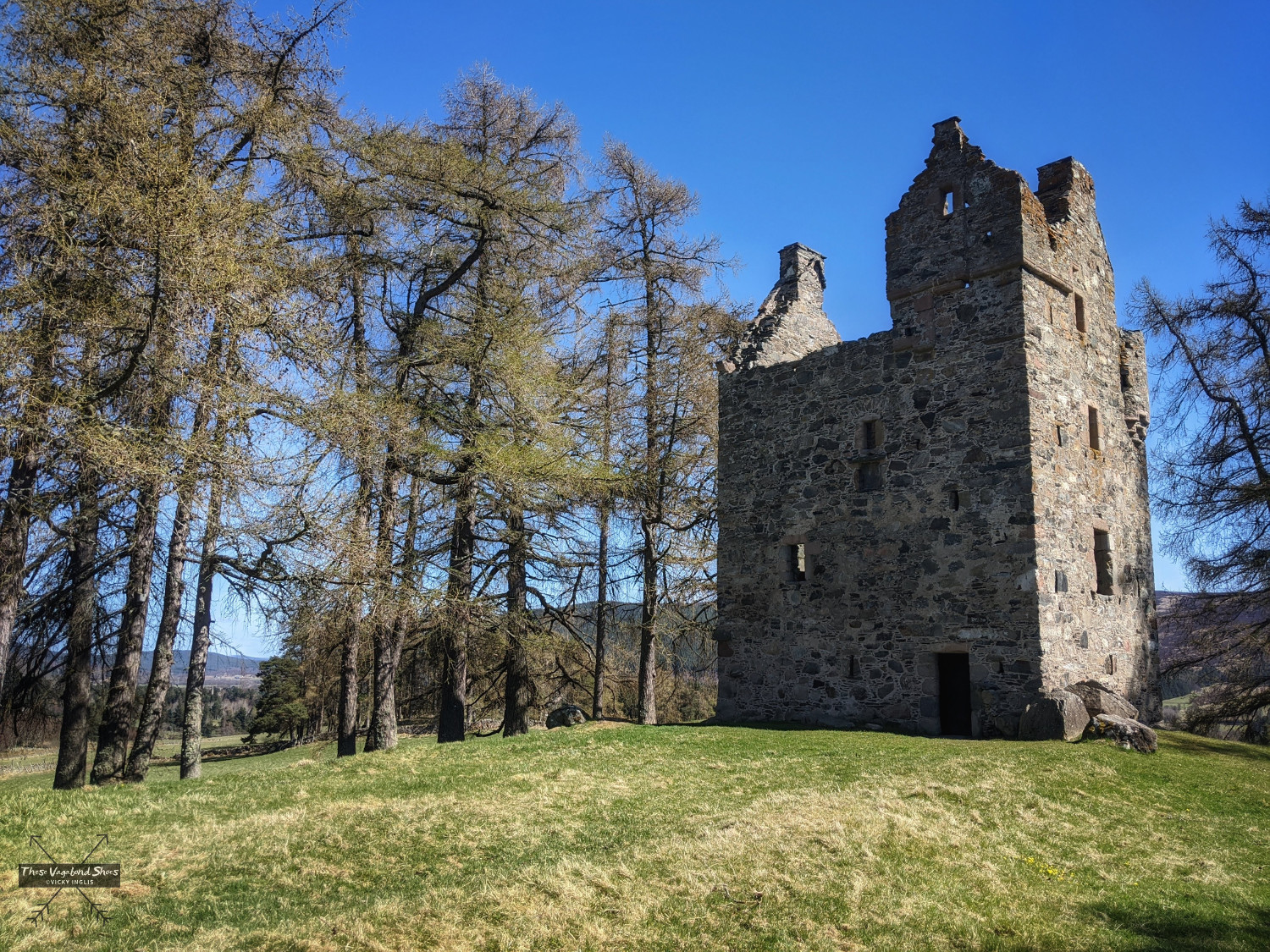
On one winter trip to cut peats for fuel, the sons of the families met in a violent clash, which left all seven of the Gordon lads dead. Their severed heads were displayed on their peat cutters as a warning to those that might think to cross the Forbes’. Overcome on hearing the news, their grief-stricken father tumbled down the turnpike staircase to his death, ending the family line.
Rather than following waymarks at the junction near Dalliefour Farm, continue along the road for around 400m to where the road bends to the left. Follow the rough grassy track leading uphill into the woods, where it meets a gravel road and you’ll have a first glimpse of the castle. Follow the gravel road westward for around 300m to find a stile that gives access to the field surrounding the castle. Retrace your steps back to Dalliefour to resume the circular walk. The diversion adds around 2k.5 to the total length of the walk.
What to look out for around Ballater
In town: Impressive buildings constructed from local granite; royal accreditation on shop fronts; numerous connections to Queen Victoria; the sweet scent of Deeside Confectioners, an old-fashioned sweetie shop near the Old Railway Station; the sound of bagpipes.
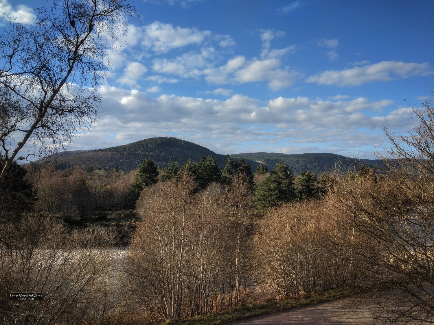
On the hills: A glimpse of dark Lochnagar beyond the hills that guard the entrance to Glen Muick; the bellowing of rutting red deer stags in autumn; distant golden and white-tailed eagles; the steep track up Creag Dubh used in the Highland games hill race.
In the fields: Charismatic heilan coos (highland cows), both with the familiar red-dun coats and more traditional long black coats; big, glossy black Aberdeen-Angus cows; the flash of white that signals roe deer scarpering into the distance; red kites hovering overhead and buzzards perched on fence posts.
In the forest: Old oaks at the foot of Craigendarroch; jays and red squirrels making acorn stashes for winter; fantastic fungi formations; plantations of Scots pine at Dalliefour; buzzards resting on high branches; blaeberries and lingonberries among the heather in the understory.
By the river: Salmon making their way upstream, especially between August and November; ospreys fishing; riverside birds like dippers and kingfishers; sand martin roosts in sandy riverbanks.
Getting to Ballater
Ballater is approximately 40 miles west of Aberdeen and 18 miles east of Braemar. The 201 bus service from Aberdeen bus station connects towns and villages along the A93 as far as the village of Braemar.
There is a large capacity for free parking in the town, making it an ideal base to leave vehicles and explore further afield by bicycle and on foot, especially into rural areas with limited parking like Glen Muick. Electric vehicle charging is available in Ballater.
Route 195 of the National Cycle Network connects Ballater to Aberdeen and other towns and villages on Deeside, on a largely off-road route along the Deeside Way. The multi-use long distance trail follows the route of the old Deeside railway line from Aberdeen to Ballater.
What else do you need to know?
The route is marked along its length, so a map isn’t essential, however it’s good practice to have one with you for longer walks. Simple maps with the route can be picked up from the tourist information centre at the Old Railway Station in Ballater, or you can use OS Explorer 388: Lochnagar, Glen Muick and Glen Clova.
While out walking in the countryside, you should follow the Scottish Outdoor Access Code and the advice of the Cairngorms National Park Authority and local landowners on any signs.
Want to try this walking route for yourself? Find the details on ViewRanger.
Why not pin this post for later?

2 thoughts on “Cairngorms Walks: The Seven Bridges Walk in Ballater, Aberdeenshire”