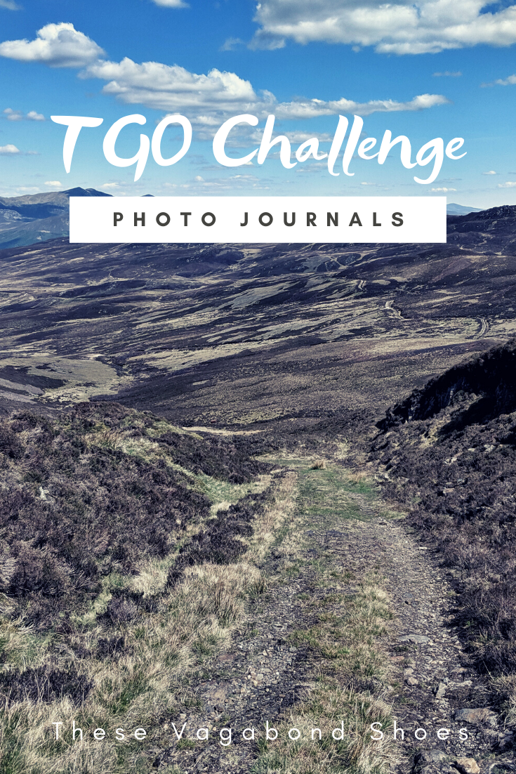
I finished working on Irene in early September, after a beautiful few days sailing around Falmouth, visiting Charlestown, St. Mawes and the Helford River, and headed up to Cambridge for a week of training with theUK Antarctic Heritage Trust. It was an intense week, with a lot of information to take in, but an exhilarating experience as we covered a lot of the practical and theoretical stuff necessary for living and working in Antarctica.
A sunrise start on the Helford River near Falmouth in Cornwall.
The training week was followed up by a lot of online courses and independent research. I’ll write more about the training and preparation I’ve undertaken for my role at the Penguin Post Office in Port Lockroy soon, but I think nothing will actually come close to the experience of arriving and setting foot on the island for the first time.
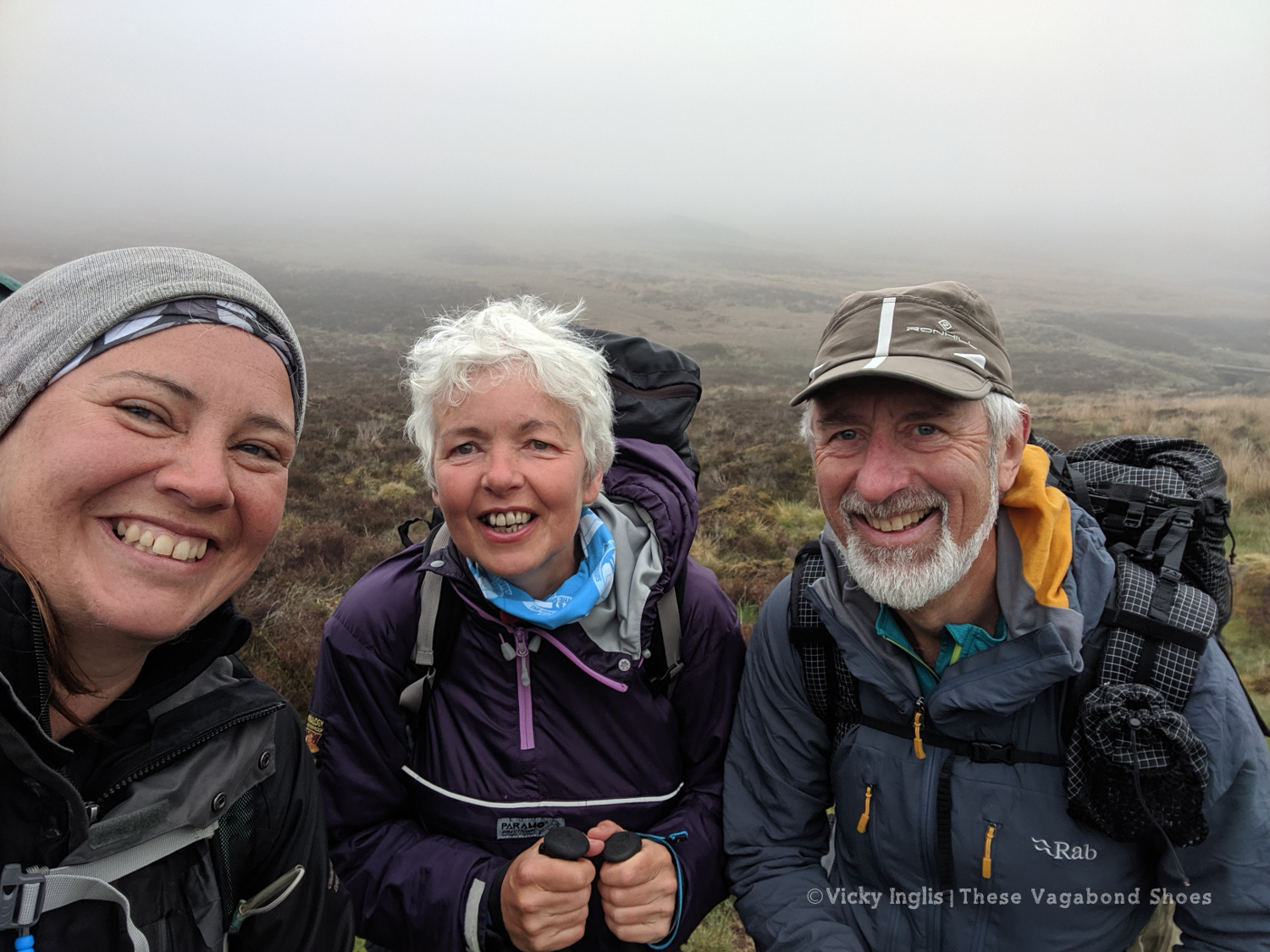
Windswept and interesting! With Wendy Searle, Lucy Hawthorne, Lauren Own and Jo Symonowski on Pen y Fan.
At the end of September I headed to the Brecon Beacons, to meet a group of fantastic women and do something a bit unusual; hike up Pen y Fan wearing a corset, bloomers and full tweed skirts. You can read more about our Great Corset Caper here, and the good cause that inspired us, My Great Escape here.
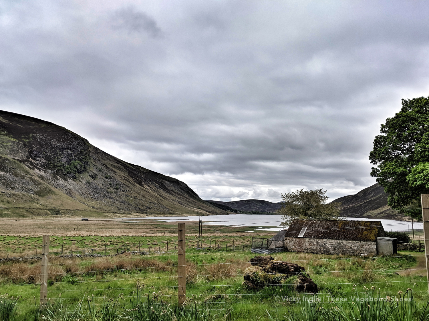
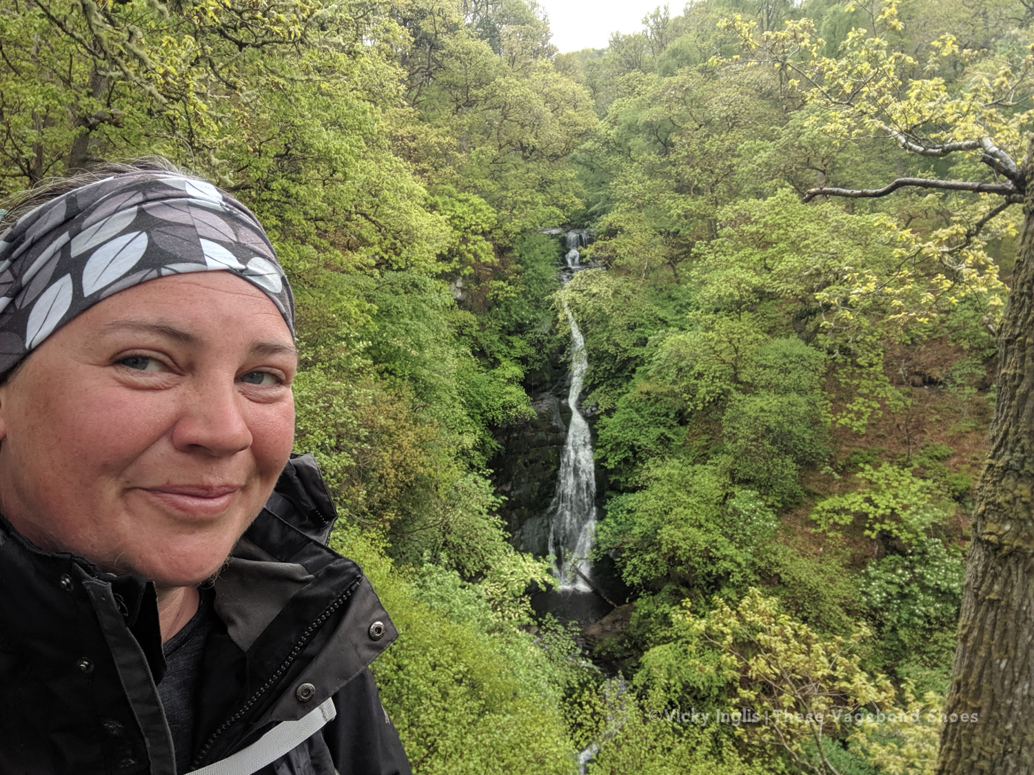
Autumn in Glen Tanar on Royal Deeside.
The view towards Mount Keen and the mounth from Glen Tanar.
Autumn leaves about to fall on a frost nipped morning.
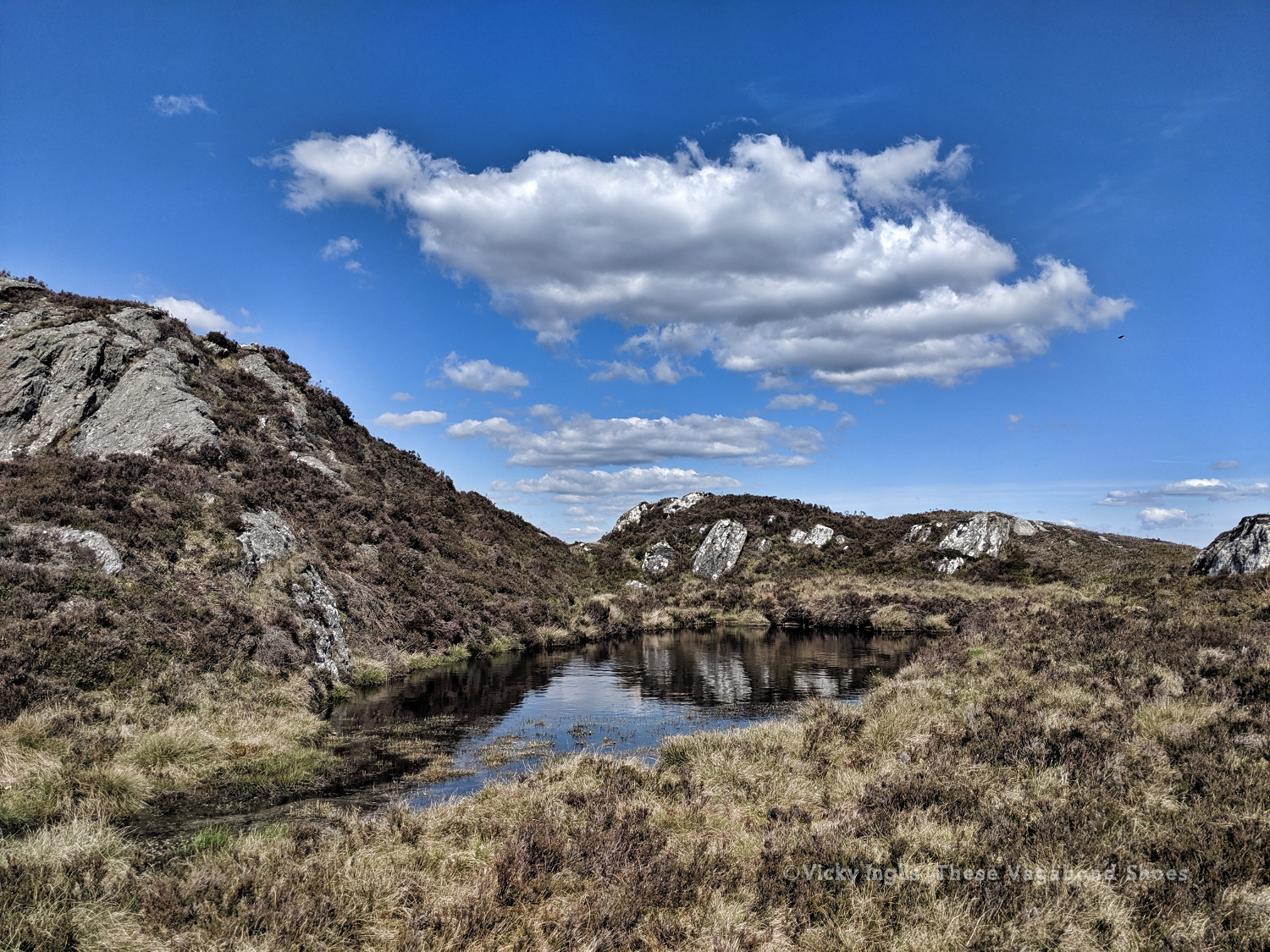
Few countries can match Scotland for a landscape so wildly beautiful and dramatic; sweeping glens, rugged peaks, historic castles, and ancient forests make it an irresistible draw for hikers. And even the notoriously fickle Scottish weather can’t detract from the hauntingly bleak splendour of the landscape.
The most mountainous terrain in the British and Irish Isles, Scotland has 282 Munros, mountains over the magic 914 metres (3000′), named for Sir Hugh Munro, compiler of the first list, inspiring many hikers to “bag” the full set. The best rank among some of the best mountains in the world. The highest is Ben Nevis at 1345 metres (4412′).
But it isn’t essential to claim the highest summit to reap the rewards of hiking in Scotland. With thousands of kilometres of coastline, hundreds of islands, lochs, and hills only lesser in height, not character or challenge. Whichever routes you chose, you’ll be treated to fresh air life, spectacular views, and that feeling of freedom that comes with hiking in wild places.
And the best part is that this is so very accessible here in Scotland, and less than a couple of hours from the biggest cities and towns, it’s possible to feel a sense of remote wilderness. So get your boots ready for these eight great day hikes, for whichever part of the country you’re visiting. Or include them in your plans for a Scottish road trip.
After the previous day’s attempt to make any kind of distance was a failure, I mentally reset myself ready for the last few days walking with a night at home; hot shower, real food, and good night’s sleep in a real bed. In the morning I returned to Clova feeling much more sparky than I had the previous day.
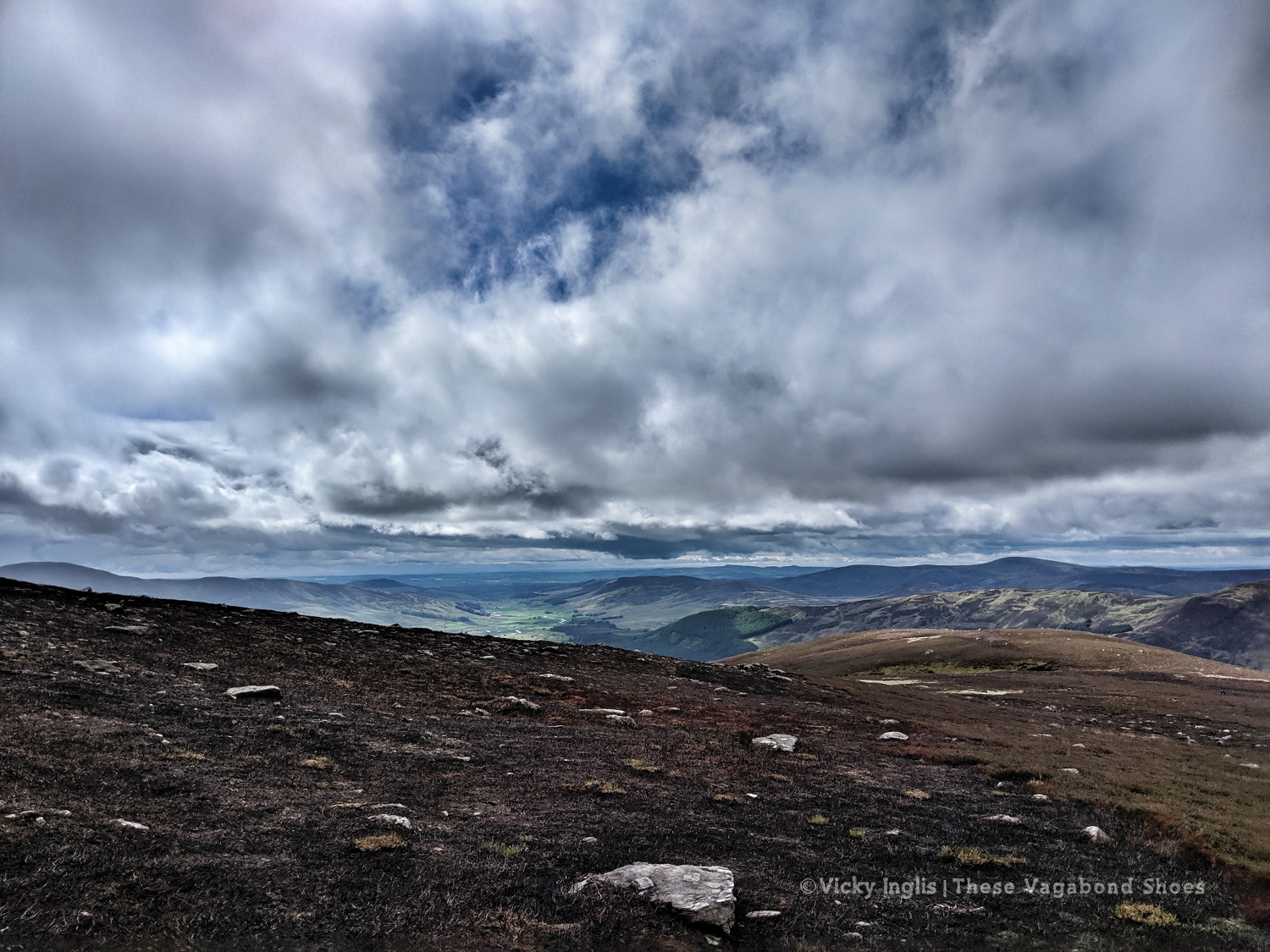
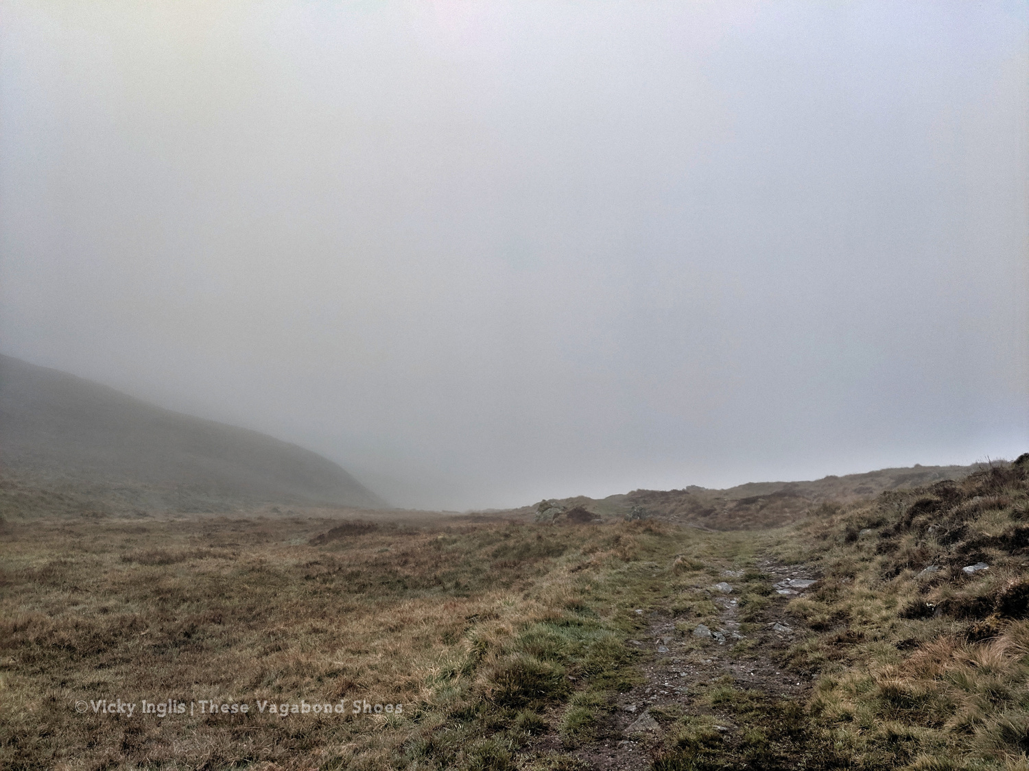
Heading into the hills behind Clova. Are the blue skies going to stay today?
Loch Brandy, tucked neatly into a corrie above Clova, like the illustration in a geography textbook.
Looking eastward down Glen Clova from Green Hill.
The moderately-sized cairn on Muckle Cairn.
It turned out to be a good thing; putting myself a day behind my planned schedule for the Challenge meant I actually met up with more challengers than I would’ve otherwise. I met a few on the track from Clova up to Loch Brandy, then picked up a walking buddy having navigation difficulties to cross the hills down to Inchgrundle and the end of Loch Lee.
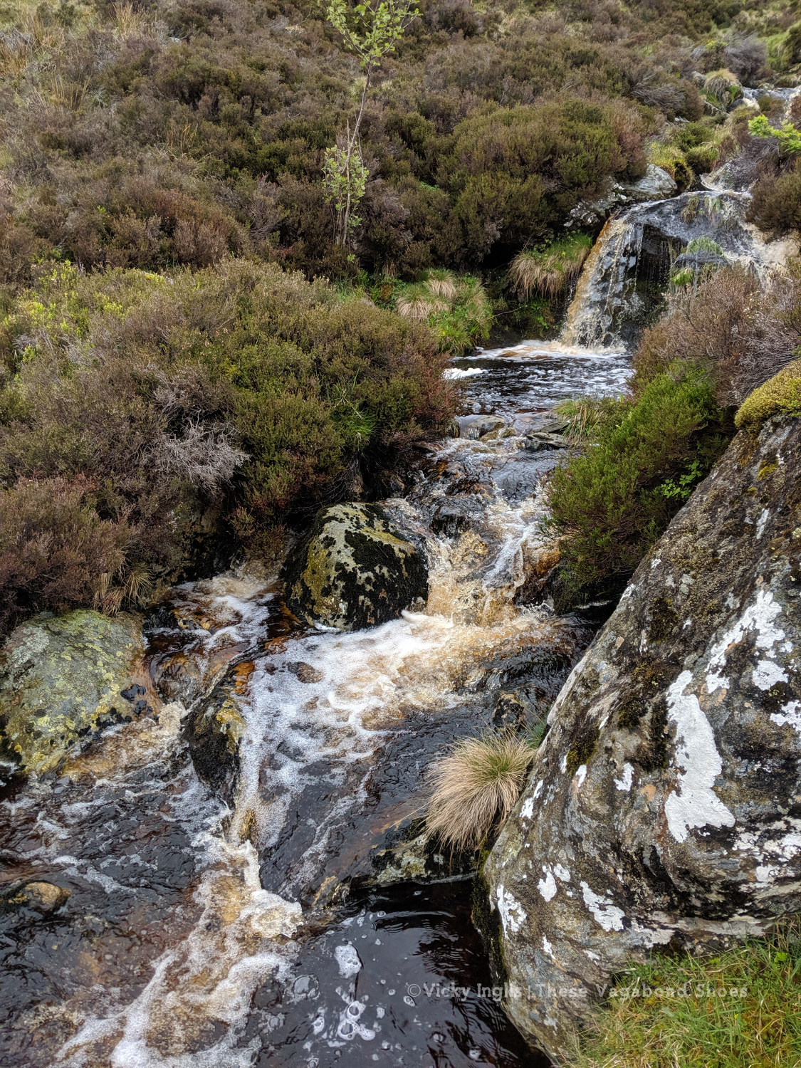
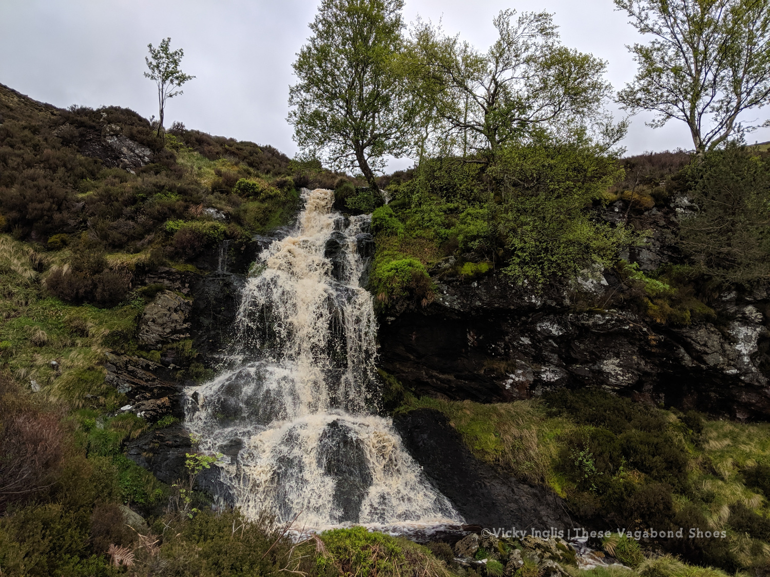
Crossing falls and fords on the descent into Glen Lee.
Waterfall on the Burn of Tarsen.
Inchgrundle, at the western end of Loch Lee.
The well-trodden route from Clova to Tarfside is always busiest on the second Tuesday of the TGO, along with the other routes that converge into Glen Esk. It was also walking familiar very ground for me, bringing back memories of Duke of Edinburgh expeditions, walks on school trips, and camps with the Guides.
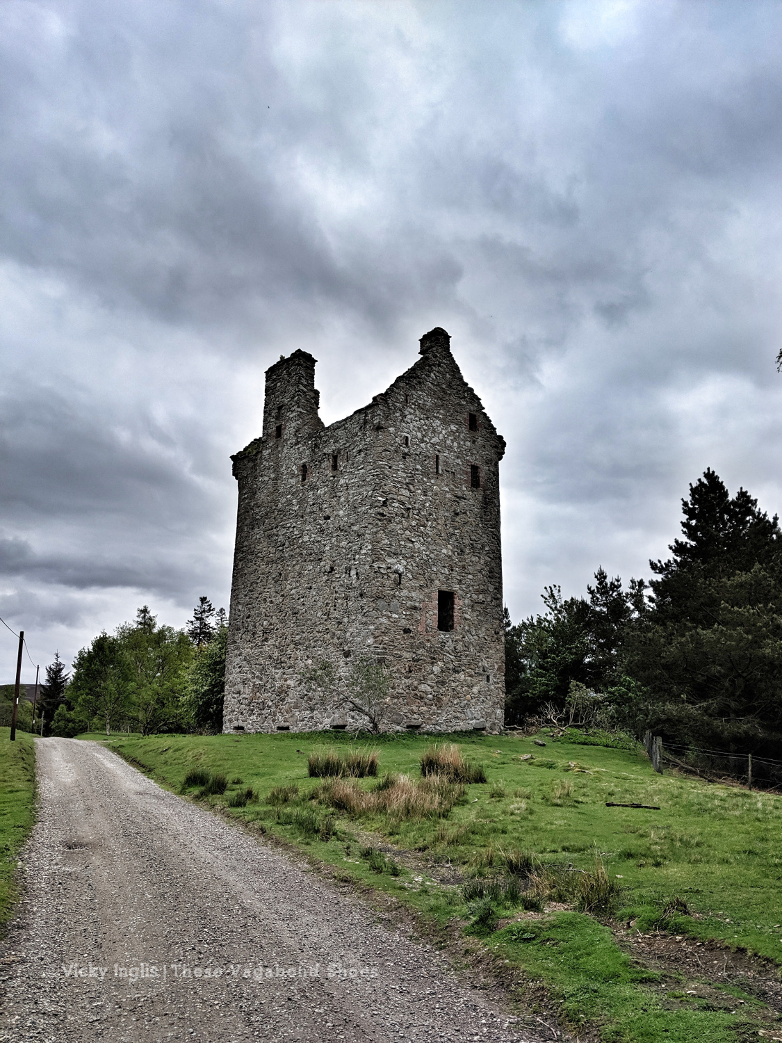
Invermark Castle.
Tracks around the Hill of Rowan.
Almost in Tarfside
After walking much of my route on my own, meeting up with friends at various points along the route, it was a little bit of a shock to the system to be amongst so many people in Tarfside. But it also showed me that one of the real highlights of the event is the other challengers that you meet on the way as you become part of the extended TGO Challenge family.
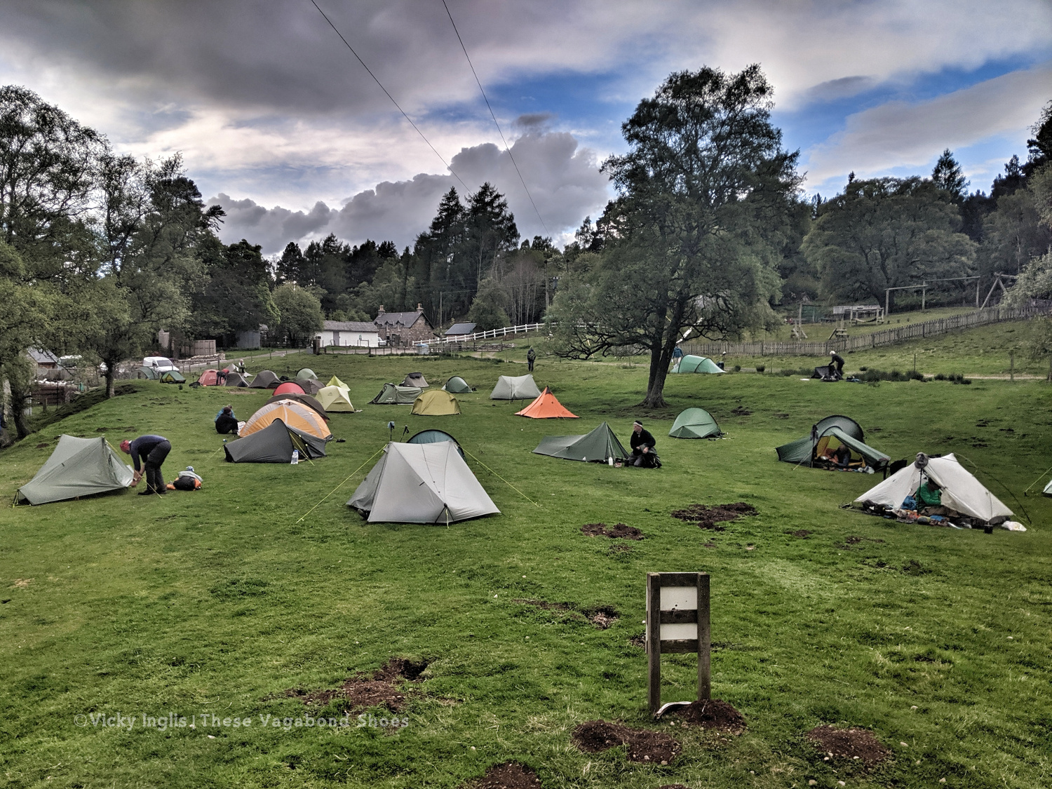
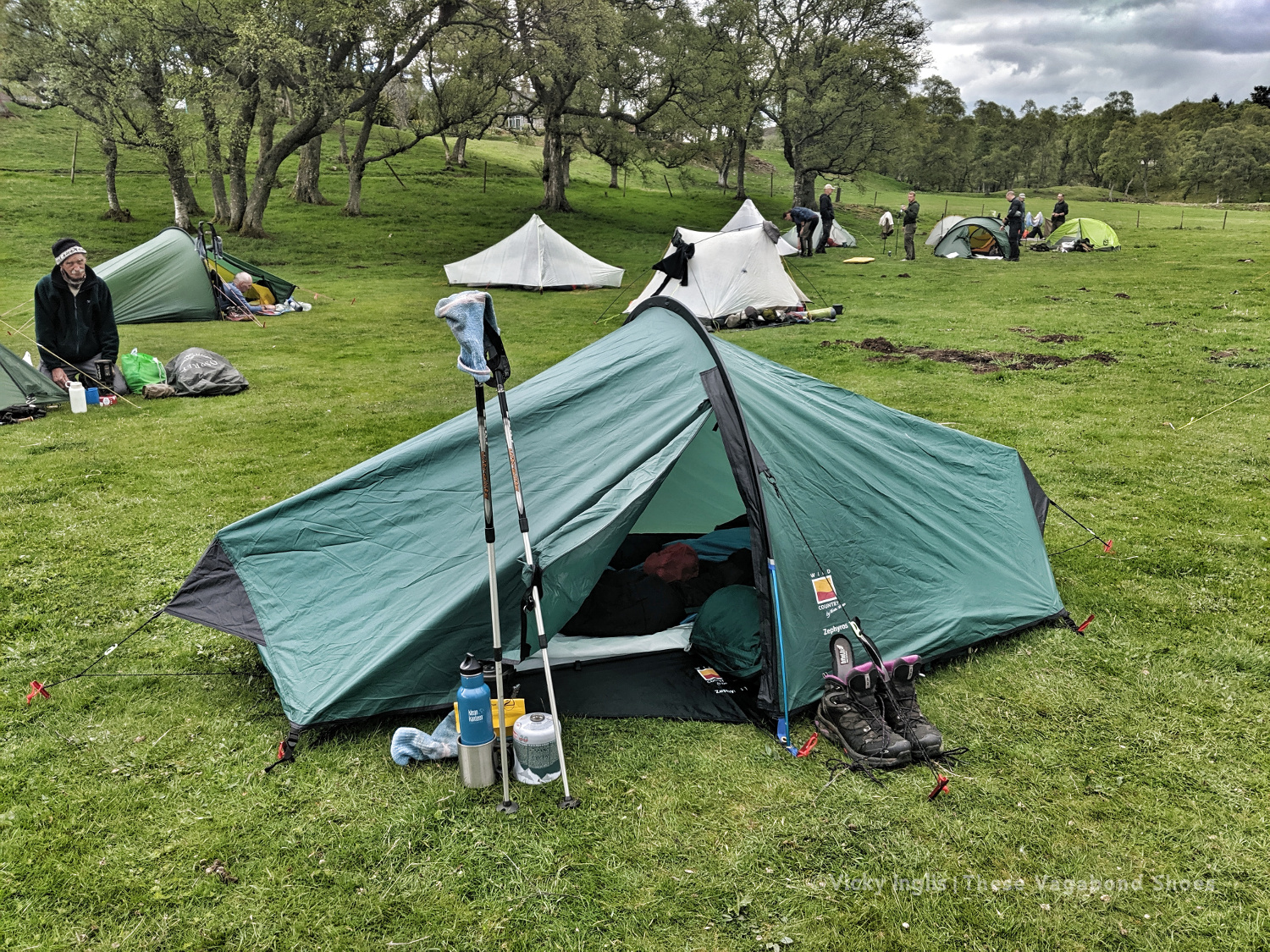
Tarfside tent city.
The pitching is starting to look better. Much less saggy. Still not in love with this tent though.
Wednesday 22/5
TGO Day 10: Tarfside to Garvock viewpoint
Distance: 33km
After an excellent night in Tarfside in the company of other challengers, I was back walking on my own again for most of the day. Everyone else seemed to be heading in the direction of Edzell and Northwaterbridge, but to reach my finish point at home at the Haughs of Benholm, I had to find a more northerly route and struck out over the hills to Fettercairn.
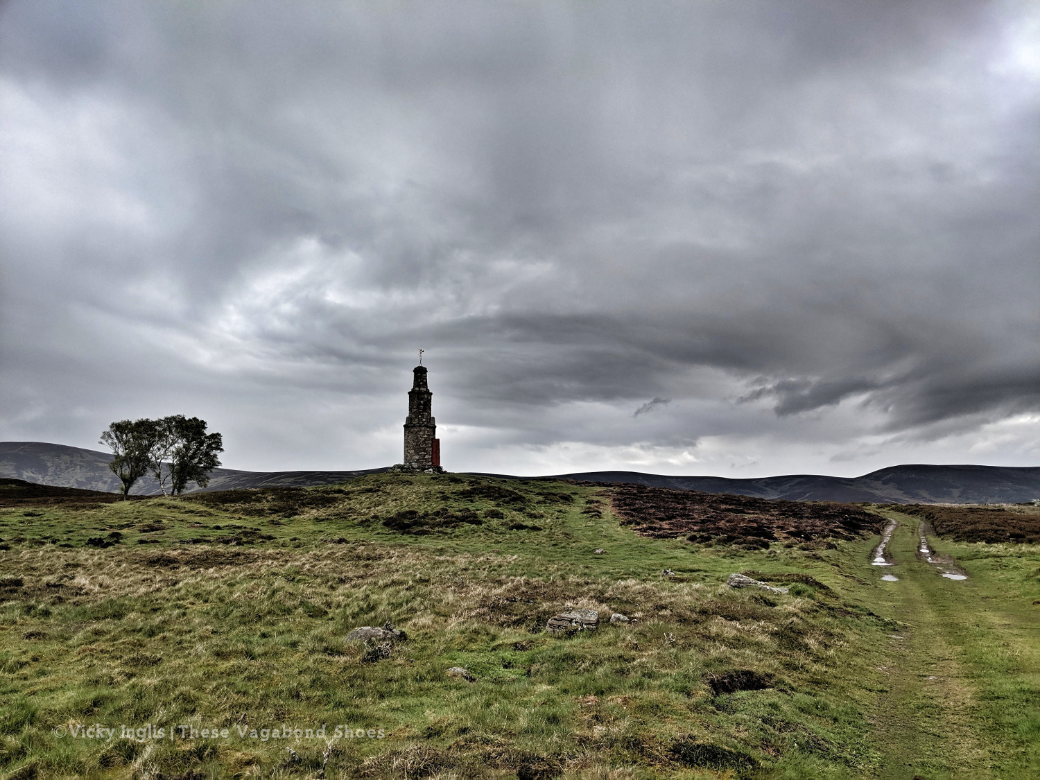
The Modlach tower near Auchentoul in Glen Esk.
Moody skies on the way through Glen Esk. Short, sharp showers through the morning, but the promise of sunshine later in the day.
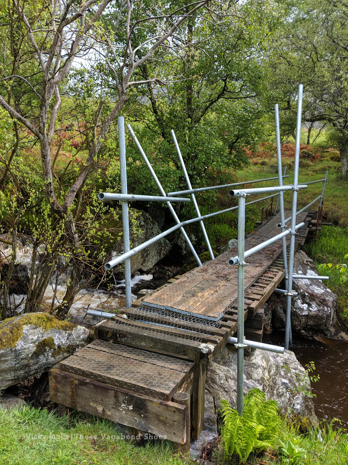
Safety third. Creative ways to cross the burns #2
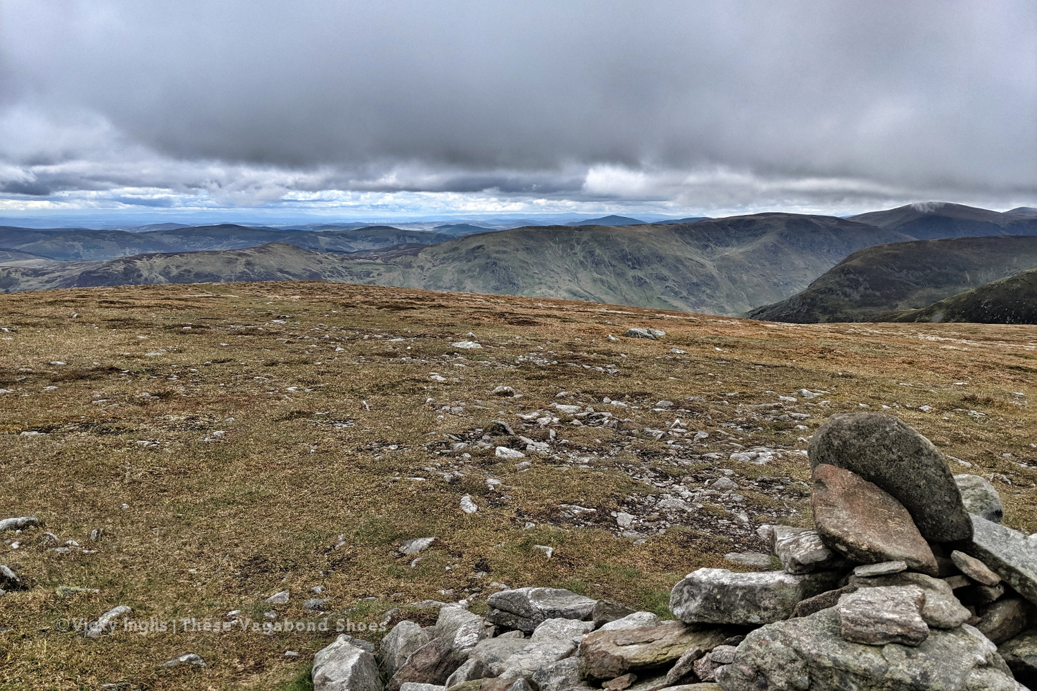
Looking across to Mount Battock, Clachnaben looking like a surfacing porpoise at the eastern end of the ridgeline.
I quickly discovered why few others took this route, after running out of hill tracks on Craigangowan and wandering into a huge bog cut with peat hags, and crossed by a deer fence. I waded, crawled, fell, and slithered for what was possibly only just a couple of kilometres, but it took me well over an hour (definitely due to walking conditions, not the hangover) to rejoin the hill tracks around Sturdy Hill.
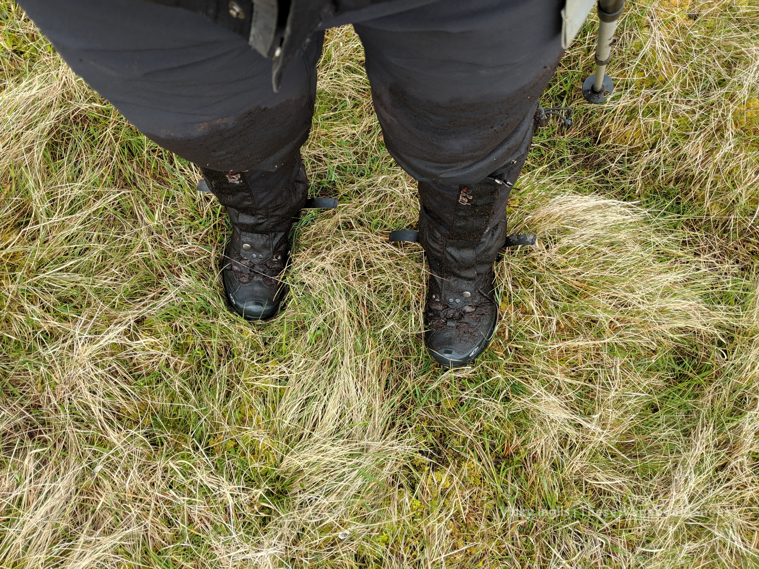
How deep is this bog? At least to mid-thigh.
Sturdy Hill after what seemed like hours. So glad to be back on a hill track.
First glimpses of the North Sea on the horizon. Not long to go to the end.
Once back on the road, after a coffee break in Fettercairn, I pushed on as far as I could keep going for, with less than 45 km to end up at home, knowing I’d be able to take the following day to recover. But as the day wore on I got slower and slower, plodding on up the hill before grinding to a halt and stopping for the night at the Garvock viewpoint. Completely tired out, but really pleased with the effort for the day. A distance of 33km covered, and just over 10km left to go to the end of the TGO Challenge.
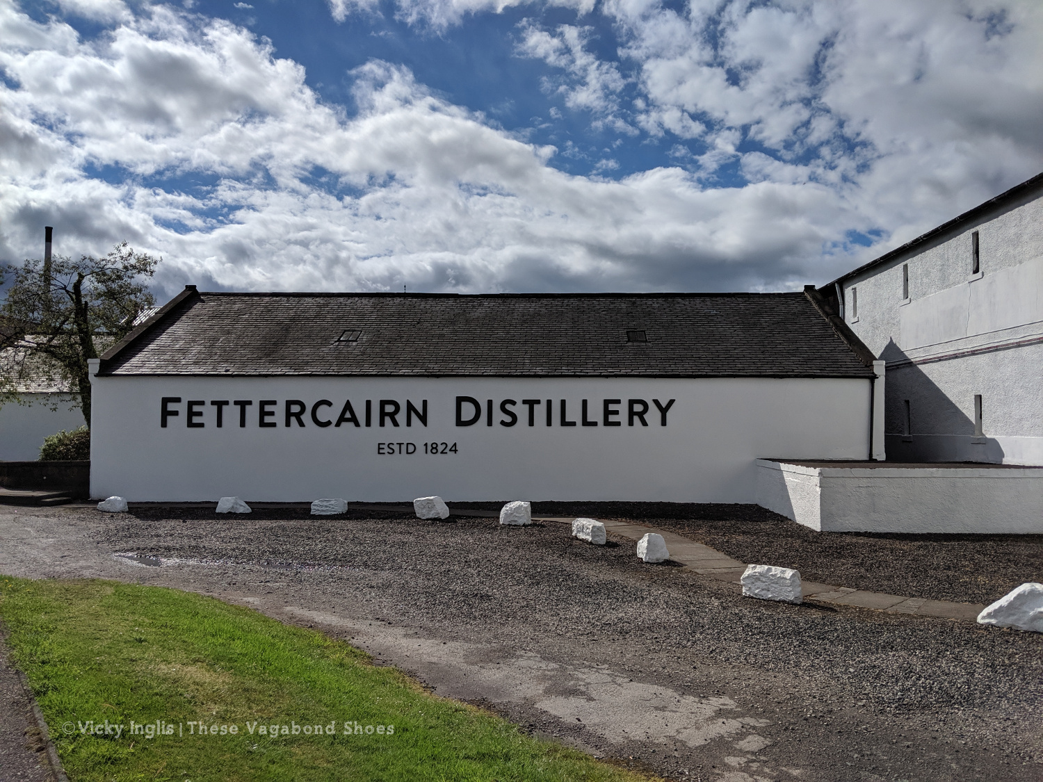
Fettercairn Distillery, on the edge of the village. Starting to feel close to home.
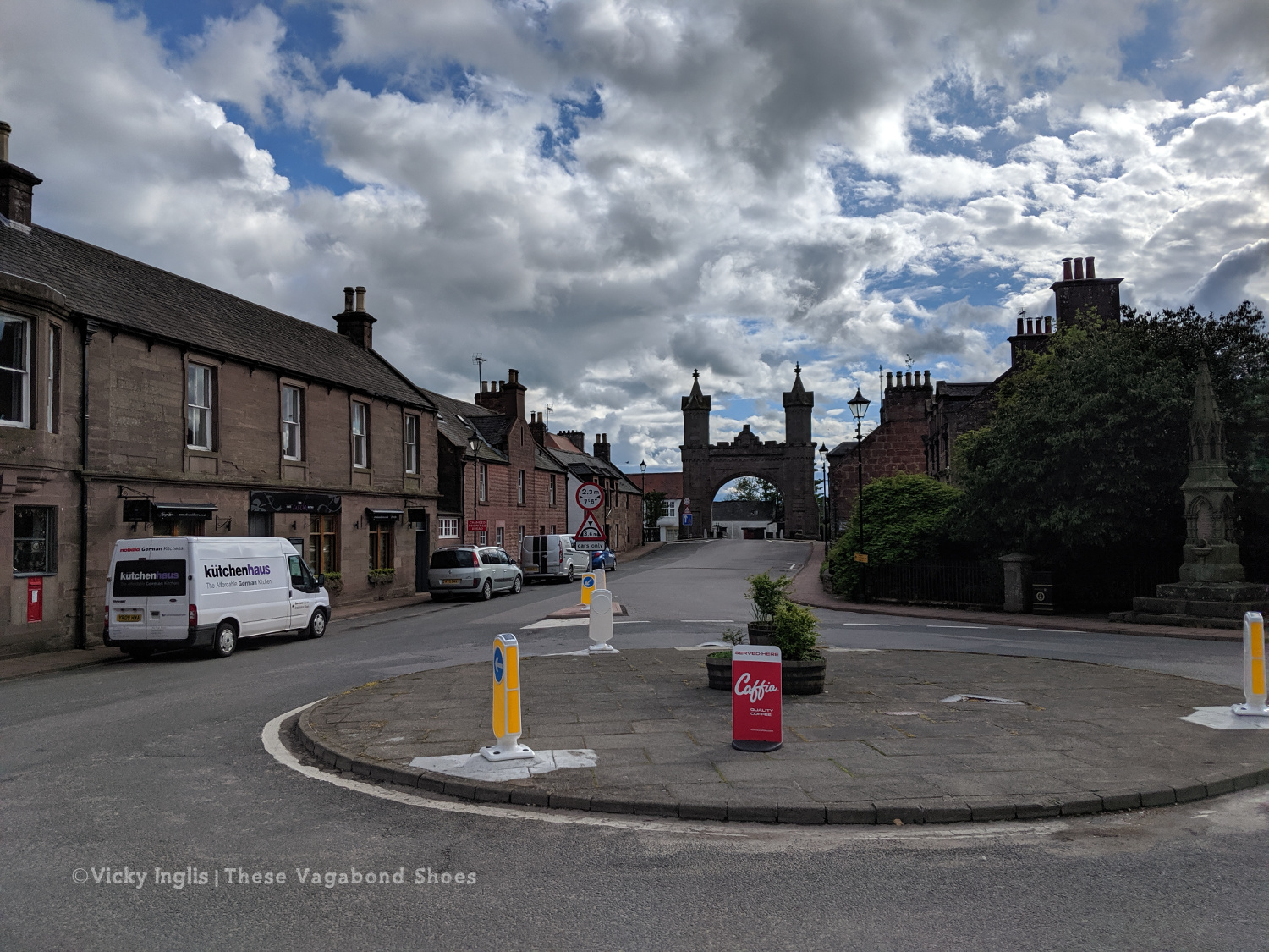
The Royal Arch in Fettercairn.
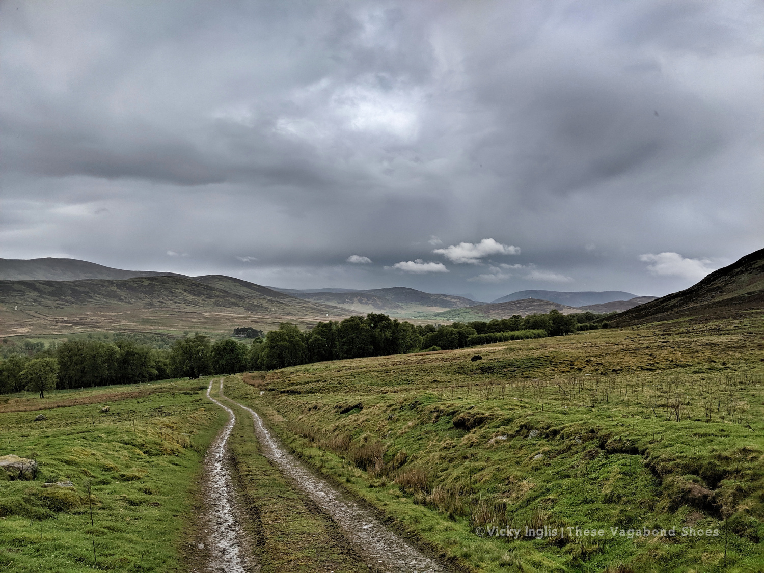
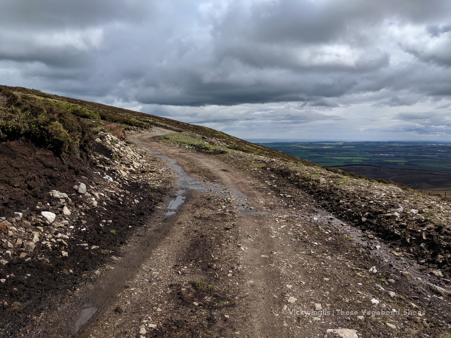
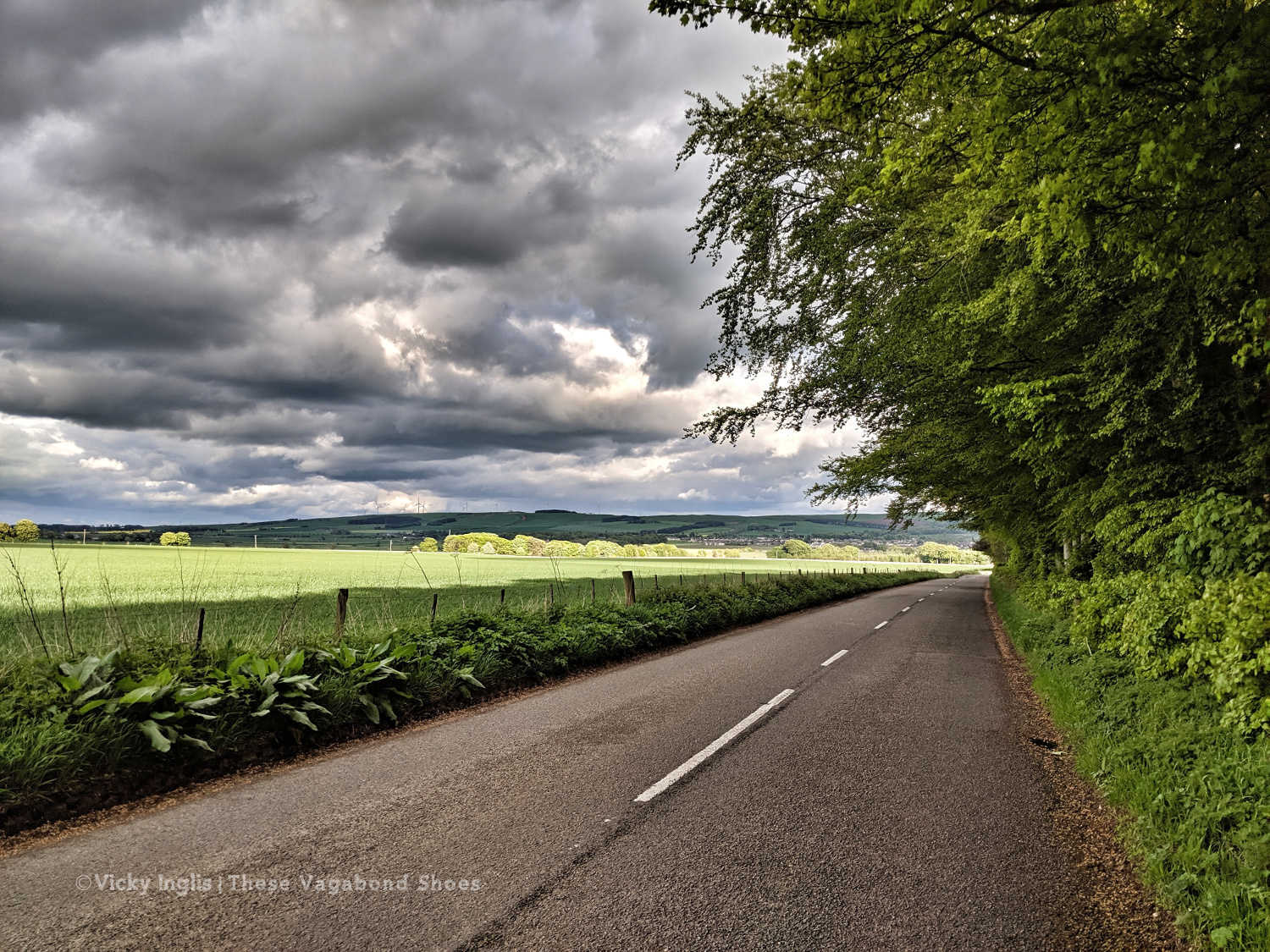
Road walking towards Laurencekirk.
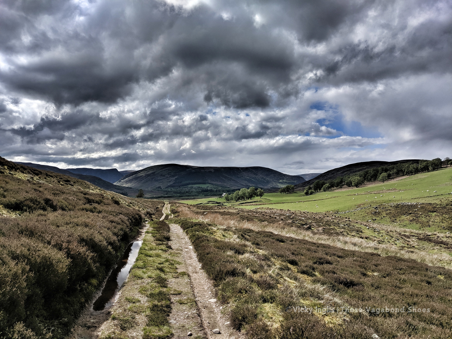
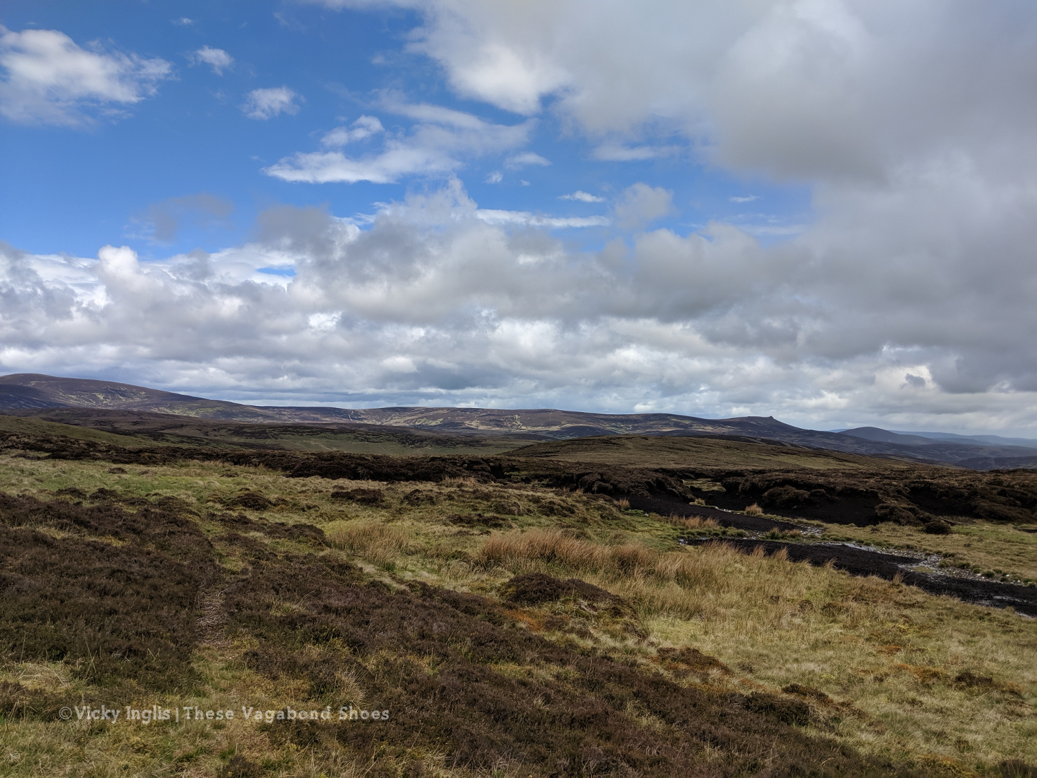
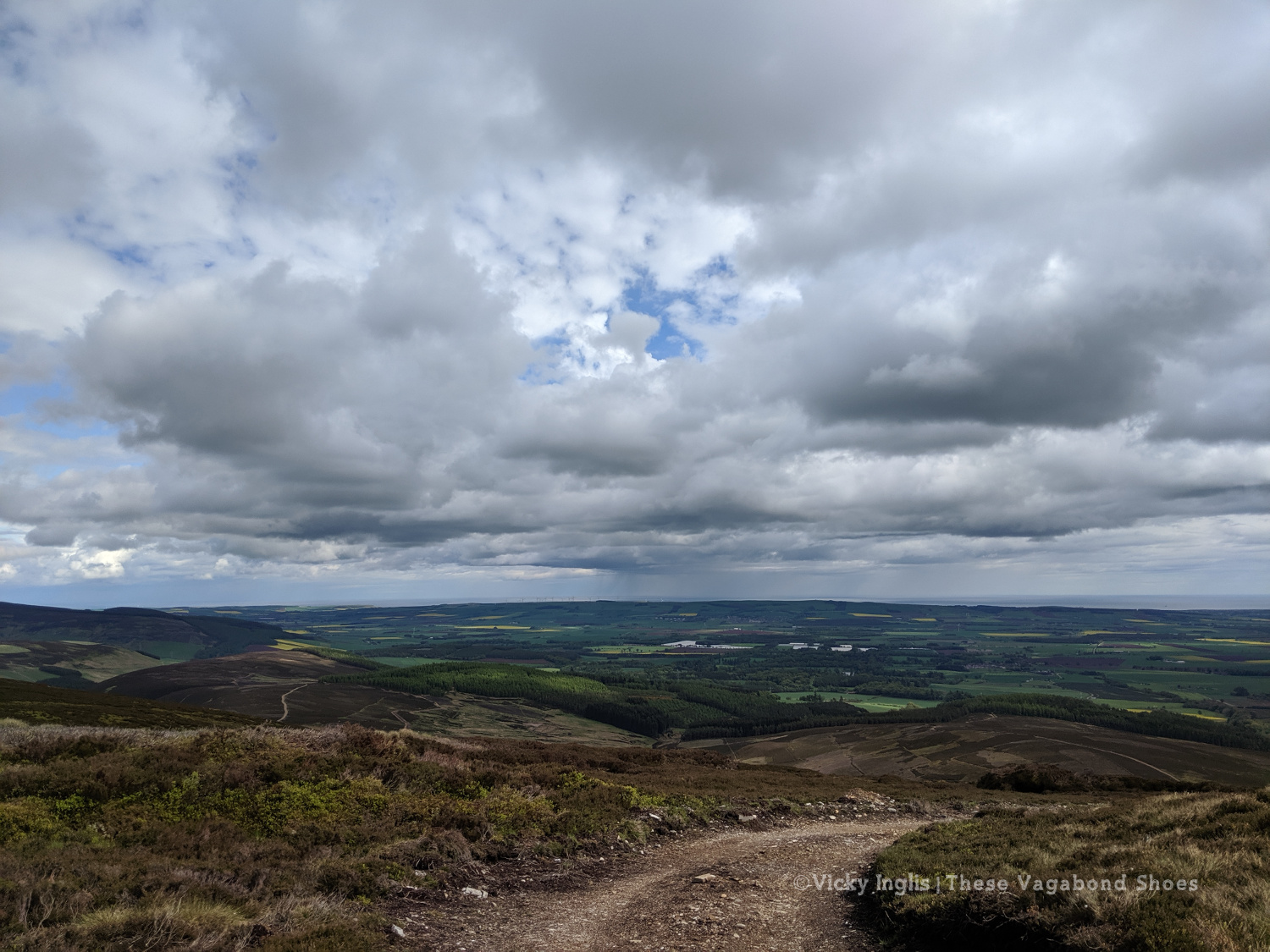
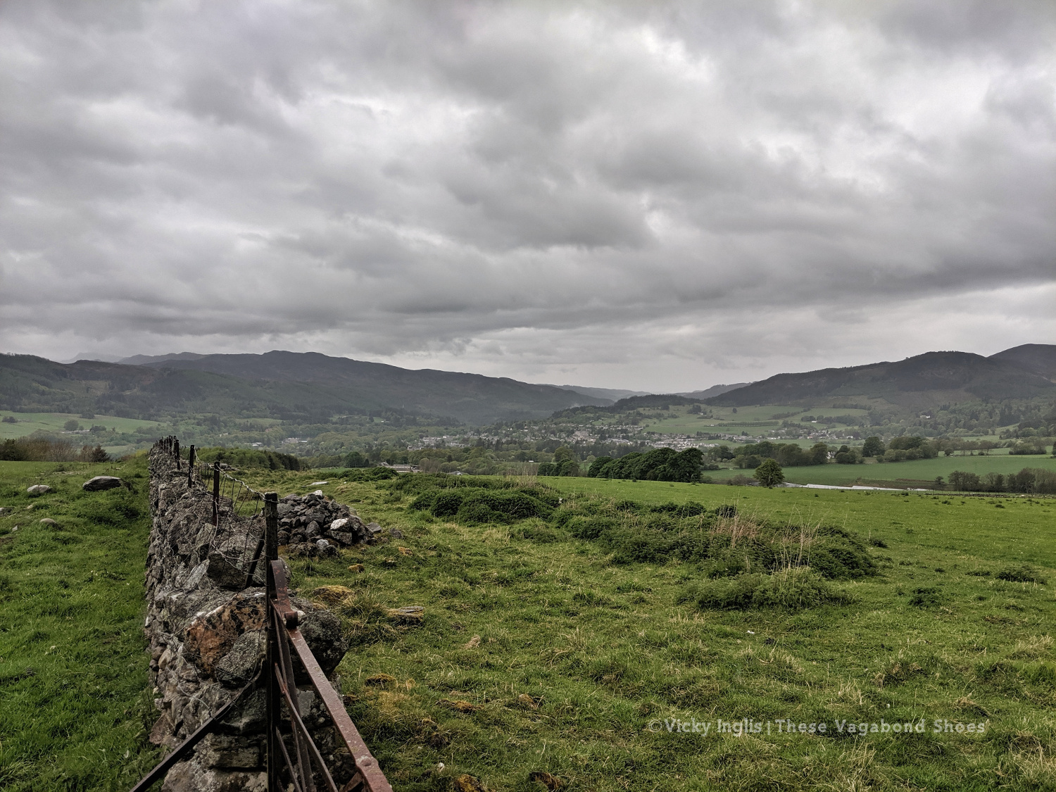
Looking back across the Howe of the Mearn towards the Angus hills from the Garvock viewpoint.
Thursday 23/5
TGO Day 11: Garvock viewpoint to Haughs of Benholm
Distance: 10.5km
The final day! Just a short distance to finish my TGO Challenge, after the huge effort I put in the day before. It’s only around 10km from Garvock hill to my home at the Haughs of Benholm, and after starting fairly late, I was all done and dusted by 10am. It wasn’t the best route choice, as to avoid lots of road walking I decided to cross a few fields
The old kirk at Garvock.
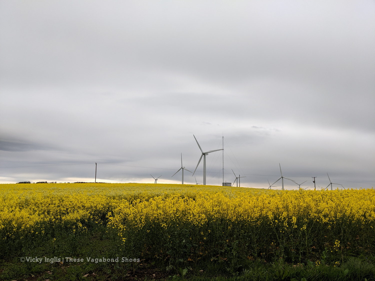
Tullo Hill windfarm and the usual yellow fields of springtime in the Mearns.
The Haughs of Benholm viewed from the road bridge. Just a kilometre more to go!
My Mam put out a finishing line on the drive, and after dropping my backpack I left an order for a bacon butty and cup of tea, and went to dip my toes in the North Sea to make an official finish. Unfortunately, my arrival had coincided with the low tide, so rather than scramble over the shingle and seaweed covered rocks to reach the water’s edge, I settled for a paddle in a rock pool, and decided the sea could wait until I’d had breakfast.
Crossing the finish line at the end of the Challenge
On the way to the sea, before decinding theat the sea could come to me.
Dipping my toes in a convenient rockpool.
My 2019 TGO Challenge Stats
Total distance walked: 269km (167 miles)
Total distance walked in flipflops: 12km (7.5 miles)
Total distance crawled: 2km (1.25 miles)
Times that I cried: 3
The highest point of my route: Schiehallion summit, 1,083m (3,553′)
The highlight of my route: Finding a beautiful pool for a swim in the sunshine in a small burn on the side of Loch Etive.
Would I do this again? Absolutely!
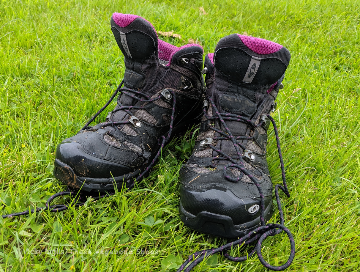
These boots were made for walking, but are ready for retirement.
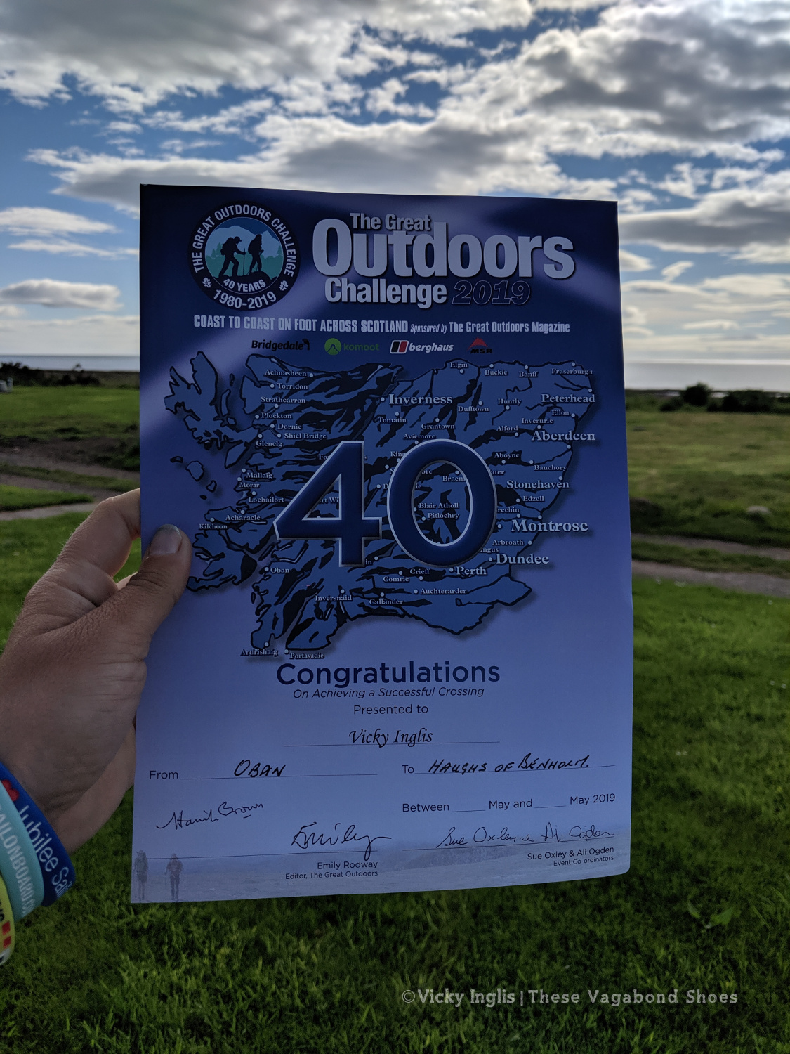
The 40th TGO Challenge, and my first, complete. The first of many more certificates to come?
Read the previous instalment of my 2019 TGO journal here, and find out more about the Challenge in this post.
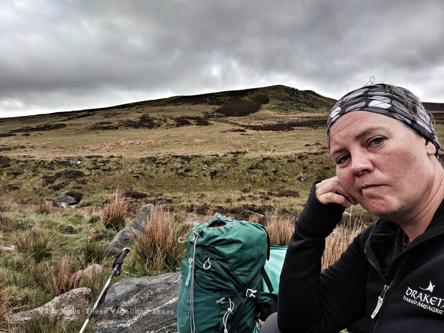
After one too many days of fine weather and lots of walking with limited access to drinking water, little shade, and no sunblock, I was done. I’d scheduled a rest day with friends once I reached Pitlochry, so I switched it around to have a day out of the sun to recover and called for a lift.
The original inspiration for the TGO Challenge; Scotland Coast to Coast by Hamish Brown
Not a lightweight backpacker.
The Maskylene plaque at Braes of Foss commemorating the Schiehallion Experiment
A shower! Clean laundry! Ice cream! No heatstroke! It was wonderful. I treated myself to a pair of shorts and the factor 50 sunblock my pale Celtic skin needed to continue walking in the sunshine the next day, as despite not being the most lightweight of backpacker I hadn’t packed either of those things. I also found a brilliant secondhand bookshop which had something I thought might be useful for the rest of my trek. What would Hamish Brown do?
Friday 17/5
TGO Day 6: Braes of Foss to Pitlochry
Distance: 21km
Ascent: 990m
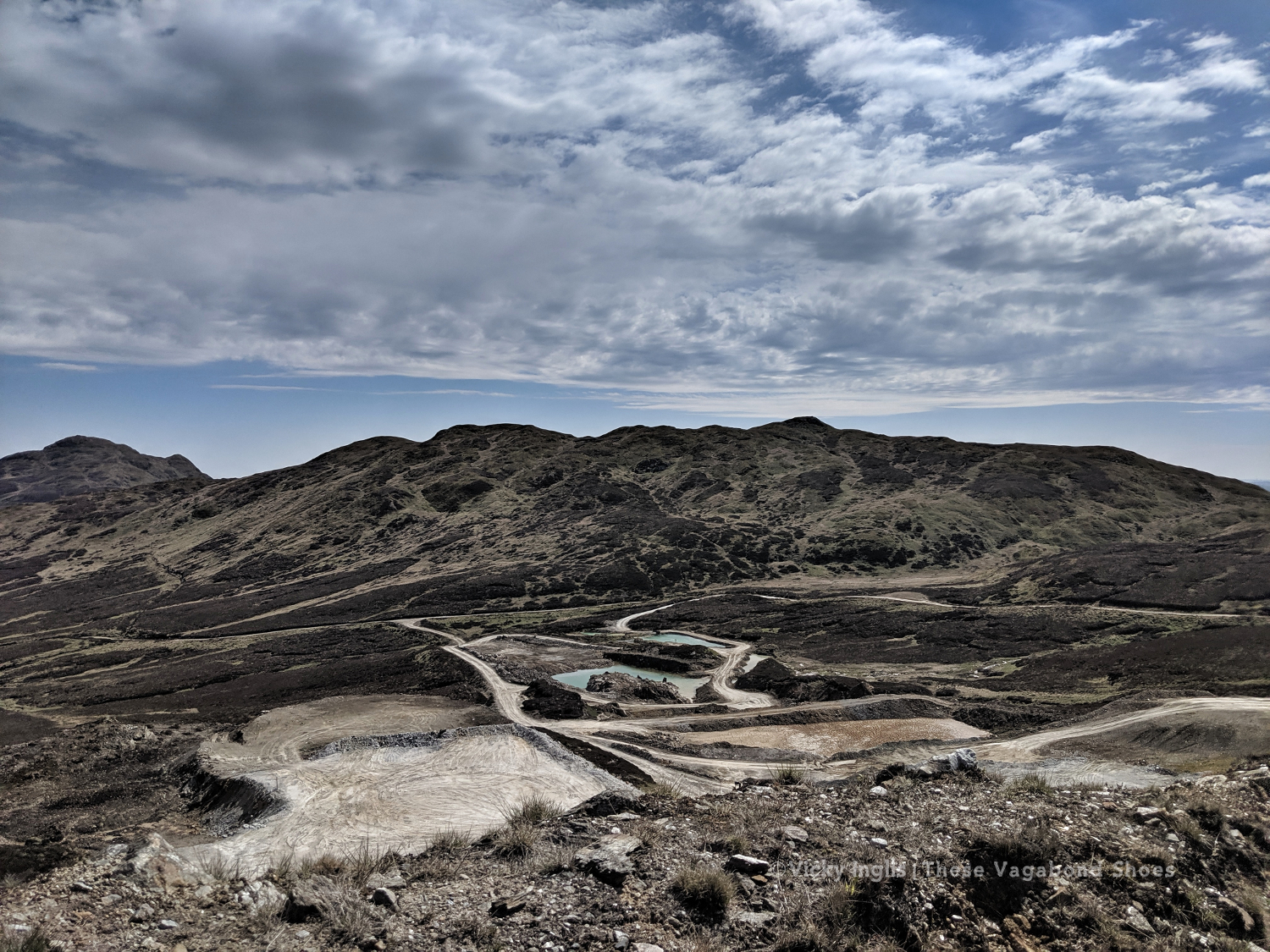
The weather had continued to be absolutely glorious, dry, warm, and sunny while I took a rest day, and I looked forward to getting back out into the hills to continue my trek. Feeling fit and refreshed I was dropped off at the point I left a couple of days ago, at the end of the access road to the bayrite mine at Foss. This time laden with abundant supplies of factor 50 sunblock.
The road leading to the mine.
The bayrite mine at Foss.
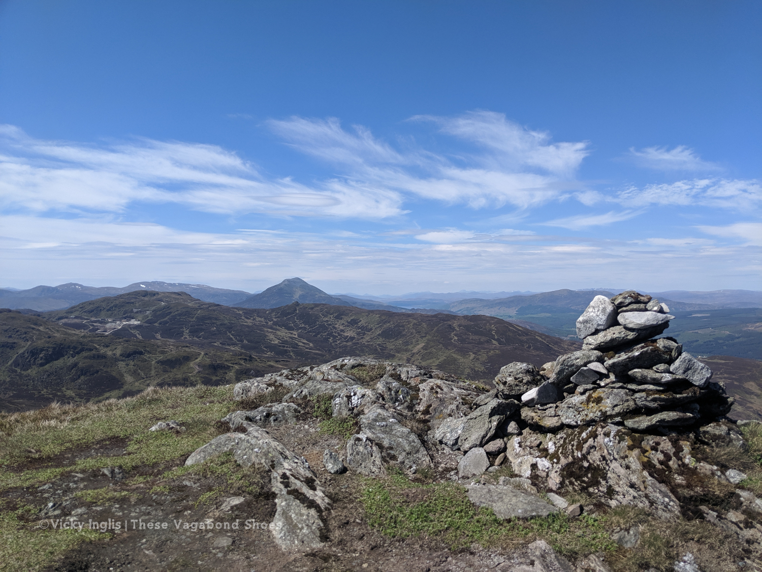
Schiehallion viewed from the top of Farragon Hill.
From Foss I headed up the track past the mine works to the tops of the Corbetts of Meall Tairneachan and Farragon Hill, bashing through the heather when the track ran out. The descent towards Strathtay was a little challenging, not least when I received a marketing call from my mobile phone provider on a steep section. I thanked them for their network coverage but suggested it wasn’t the best time to talk to them.
The way down the eastern side of Farragon Hill.
Old hill tracks on the side of Beinn Eagagach.
Lochans and bogs, oh my!
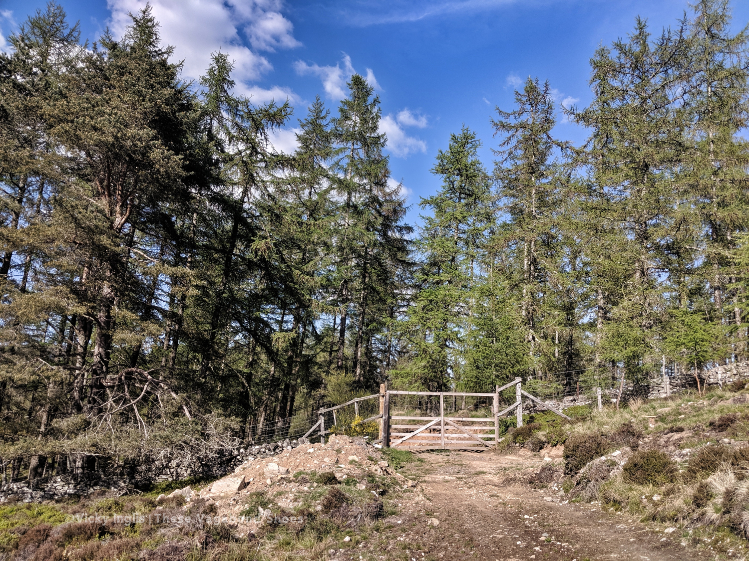
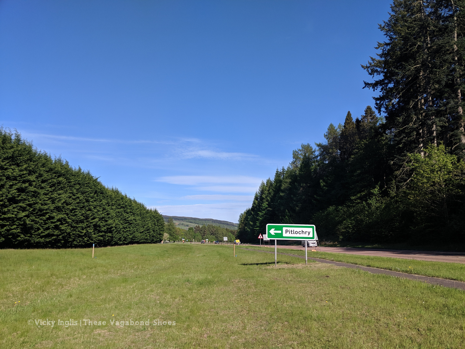
After reaching the hill track, I went around the shoulder of Beinn Eagagach, then followed the ridge of hills between Strathtummel and Strathtay. Just a little bit of bog scrambling, a lot of heather bashing, and being stalked by some deer as I went. From Clunie Woods, glad to get a bit of shade, I descended to meet the end of the Rob Roy Trail, crossed the A9 and reached Pitlochry.
The deer fence between Creag a’ Coire and Clunie Wood
Crossing the A9 with the end in sight
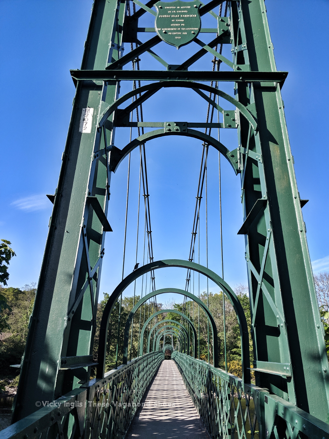
The suspension bridge over the River Tummel.
Saturday 18/5
TGO Day 7: Pitlochry to the Lunch Hut (Cateran Trail)
Distance: 22km
At the Black Spout, after the first rain in a week.
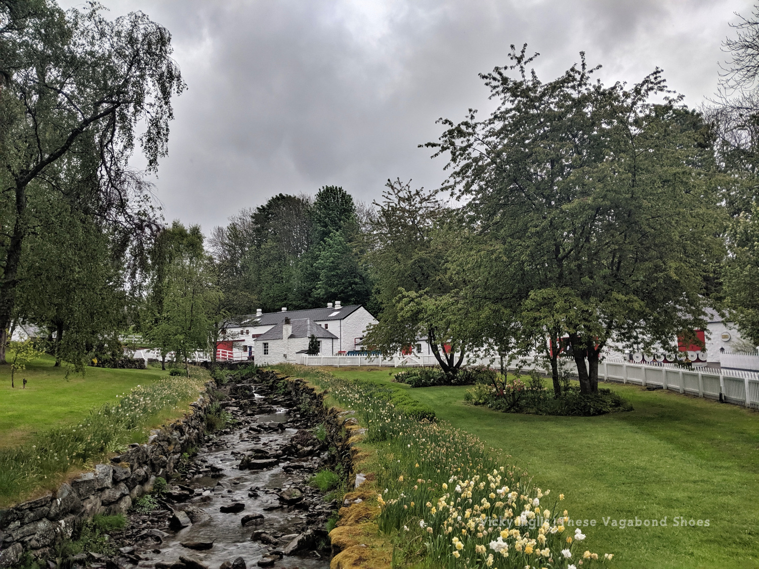
Edradour distillery
A last glimpse of Pitlochry.
Well, it would have been unrealistic to expect the fine weather to last for the full fortnight of the challenge. Shortly after reaching my accommodation in Pitlochry, the sky turned the colour of a bruise, and the rain thundered down through the night. So I was particularly glad I was indoors overnight and didn’t have to pack up a soaking tent before I started walking in the morning.
Swirling pollen in the puddles.
The first rain for a week washing away pine pollen.
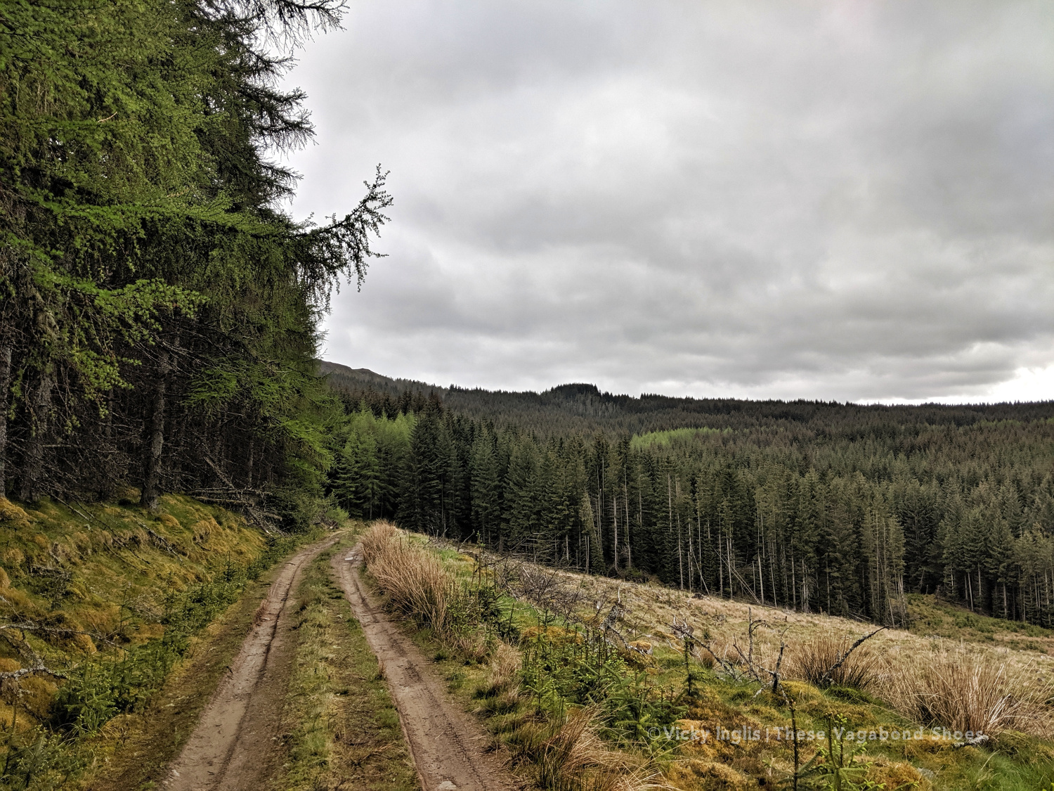
The forestry road through Pitcastle Woods
I made my way through town to the Black Spout waterfall, through the woods to Edradour Distillery. At this point my route became a little bit freestyle, crossing grazing land on the side of Tom Beithe until I entered the forest and could pick up forestry tracks. then through the forestry land to Enochdhu, climbing a few deer fences on the way. Picked up the Cateran Trail to head to the Lunch Hut bothy, where I met the first other challengers I’d seen since I’d seen the Danes taking a coffee break at Rannoch Station.
The forestry road through Kindrogan Woods
Crossing the bridge in Enochdhu
Treating myself to a fancy dinner to make up for the damp weather.
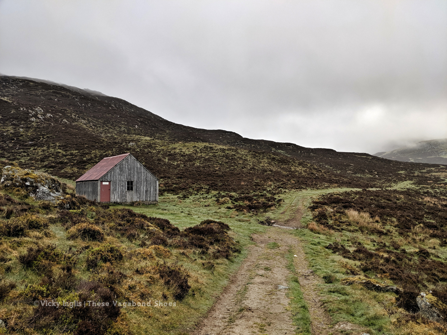
The Lunch Hut bothy, home for the night.
Sunday 19/5
TGO Day 8: The Lunch Hut (Cateran Trail) to Glen Doll
Distance: 31km
Ascent: 1734m
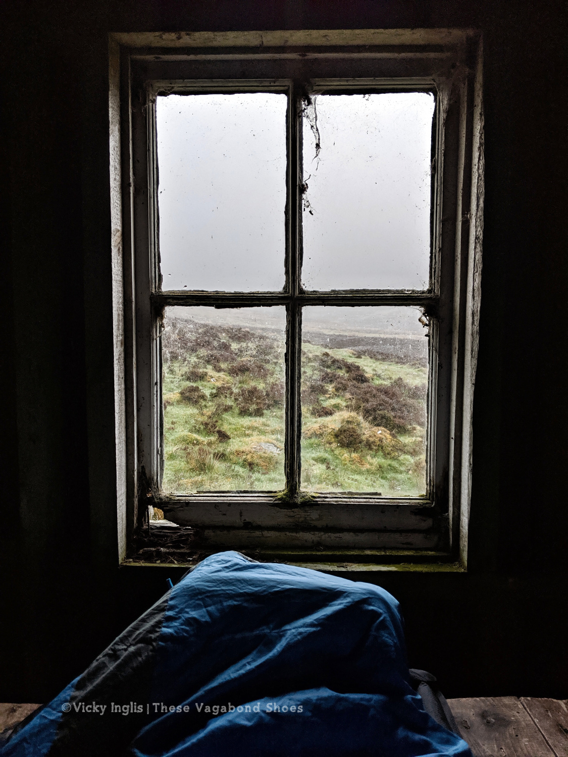
Two things contributed to my early wake-up, the slow deflation of my air mat through the night finally reaching the point where my hip touched the tabletop I was lying on, and a sheep bleating incredibly loud and close to the bothy. I gave it a hard Paddington stare through the broken window, then had the thought this is how a horror film would start. I whispered an apology to the sheep, so as not to wake my two bothy mates.
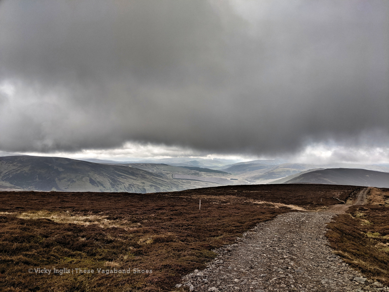
Overnight the fog had come in thick, obscuring everything further than 50 metres from the bothy. This wasn’t good, as I’d planned to head up high from Glen Shee, following hill tracks to start with, then bashing through the heather to Mayar, before descending into Glen Doll. As I headed over An Lairig, towards Spital of Glenshee, with Emma and Simon, I started to revise my route with their suggestions.
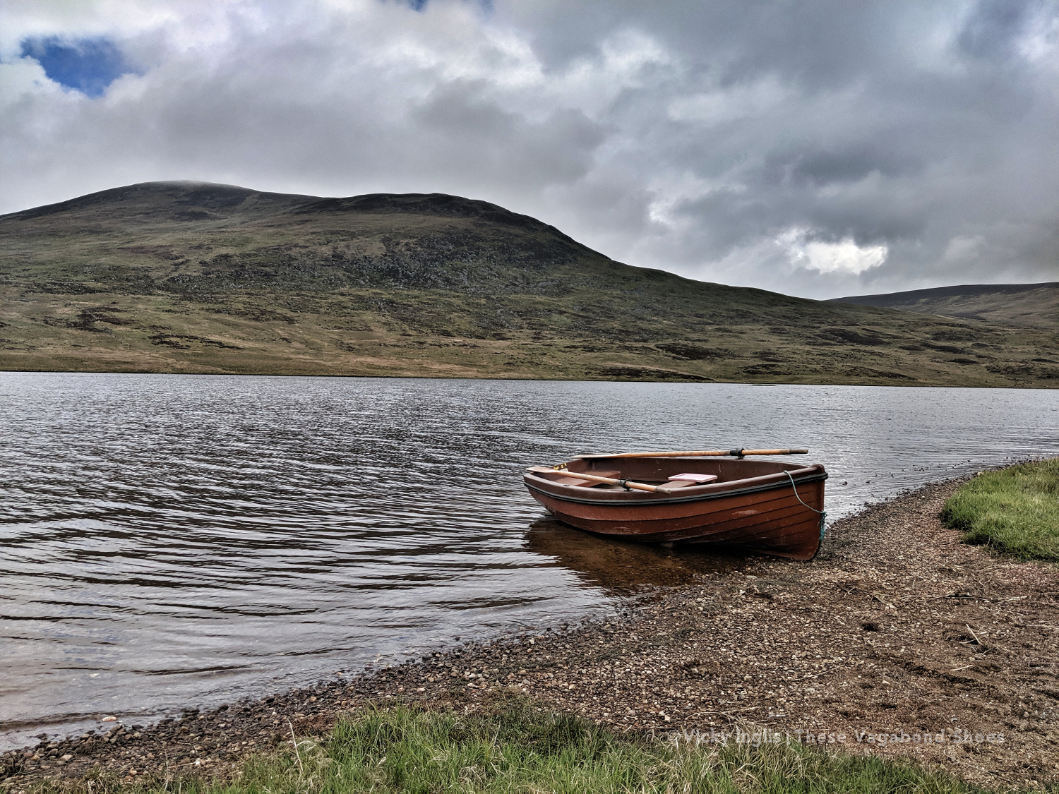
I decided on a longer route, staying at a lower level to make solo navigation easier for much of the day. We walked together on the Cateran Trail until Runvey, then Simon and I left Emma to continue on to Kirkton of Glenisla, while we headed for Loch Beanie. There, we parted ways and I continued to ascend to the shoulder of Monamenach and down into Glen Isla.
Rowing boat on Loch Beanie.
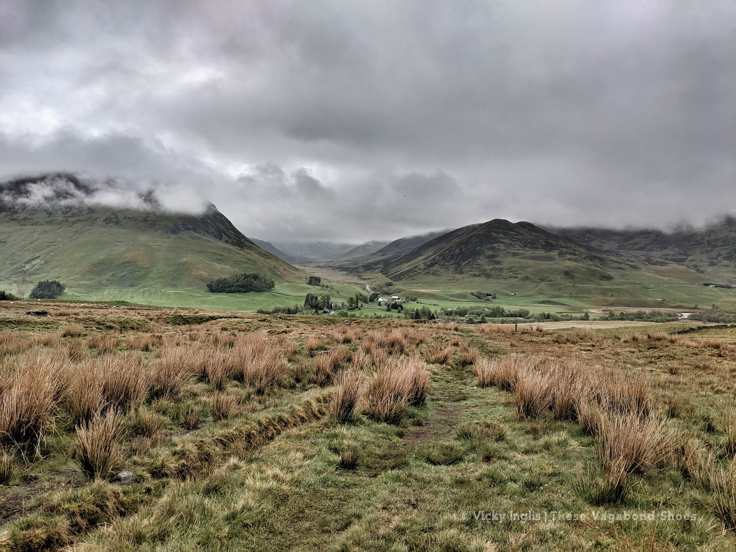
Looking towards the head of Glen Isla
I quickly ascended out of the glen to Mid Hill and Tarmach Cairn on hill tracks, following them in an arc to Broom Hill, before leaving them behind to descend into Glen Prosen by the Glack of Balquhader. I’d been keeping a weather eye during the trek, and it hadn’t cleared on the high ground, where the last stage of the route was going to take me.
The footpath between Glen Prosen and Glendoll known as the Kilbo Path crosses the col between the Munros of Driesh and Mayar, and was the highest point of my revised route. The mist was moving in and out while I stopped for a meal, but from my memory and according to the map, the track looked distinct, so I felt confident enough to get across into Glendoll before the light faded.
Crossing between Glen Isla and Glen Prosen.
When you’re down here and need to be up there.
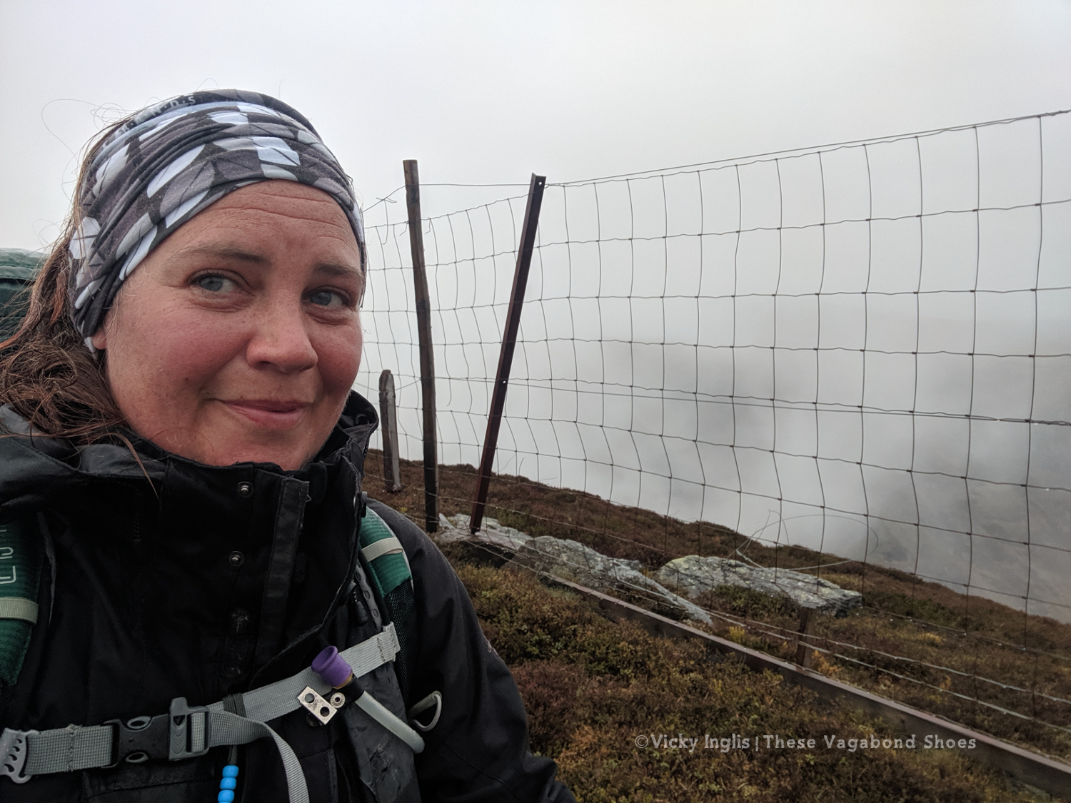
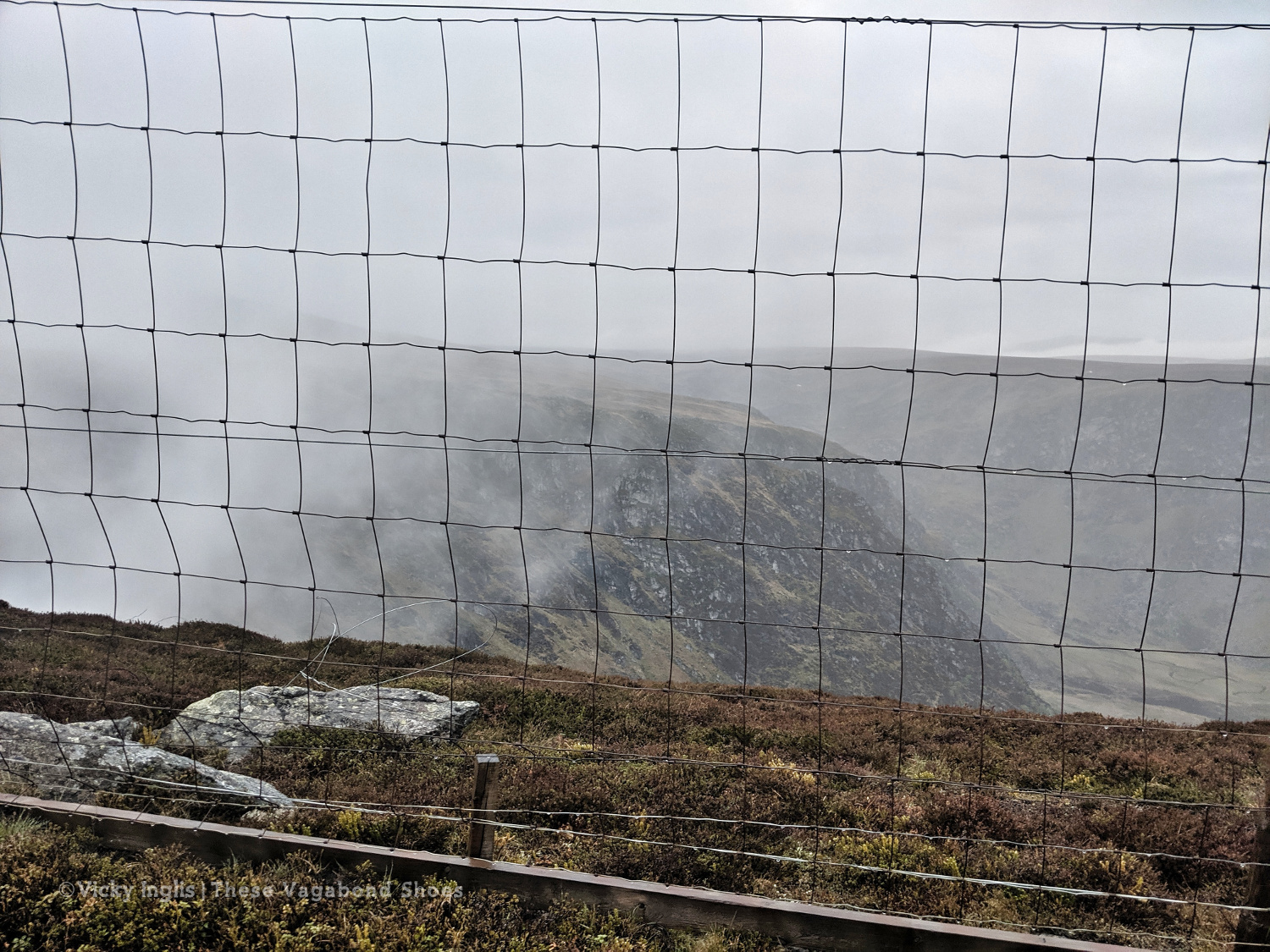
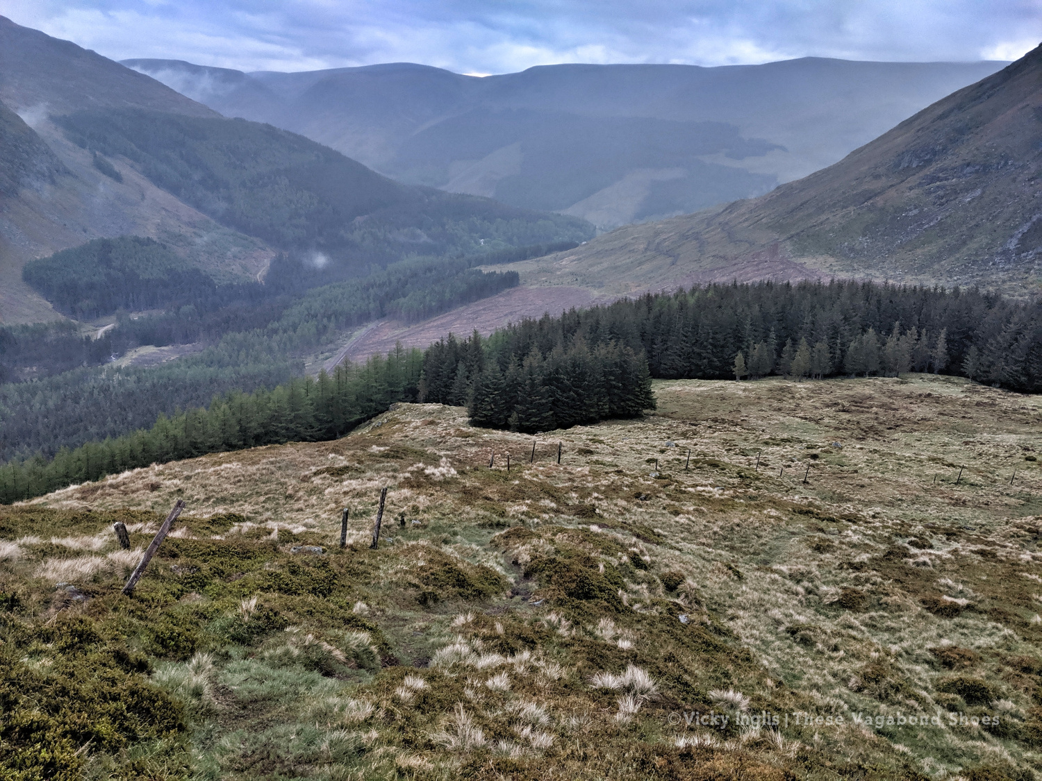
At the top of the path, the visibility closed in to be just a few metres in the cloud, but enough that I could pick out the deer fence along the back of Corrie Shalloch to handrail to the top of the descent on the Shank of Drumfollow, and make my way down into the valley. The path through the logged forestry was rough, but it meant I was counting down the last couple of kilometres to my camp. Finally, after 31km with over 1700m of ascent, getting on for 9pm, I was at the place I wanted to be.
At the top of the Kilbo Path between Glen Prosen and Glendoll.
The cloud clearing to reveal the back wall of Corrie Sharroch. Glad of the deer fence.
Descending the Shank of Drumfollow.
First glimpses of the Glendoll visitor centre, and the end of the day’s walking.
Monday 20/5
TGO Day 9: Glen Doll to the Clova Hotel
Distance: 5.5 km
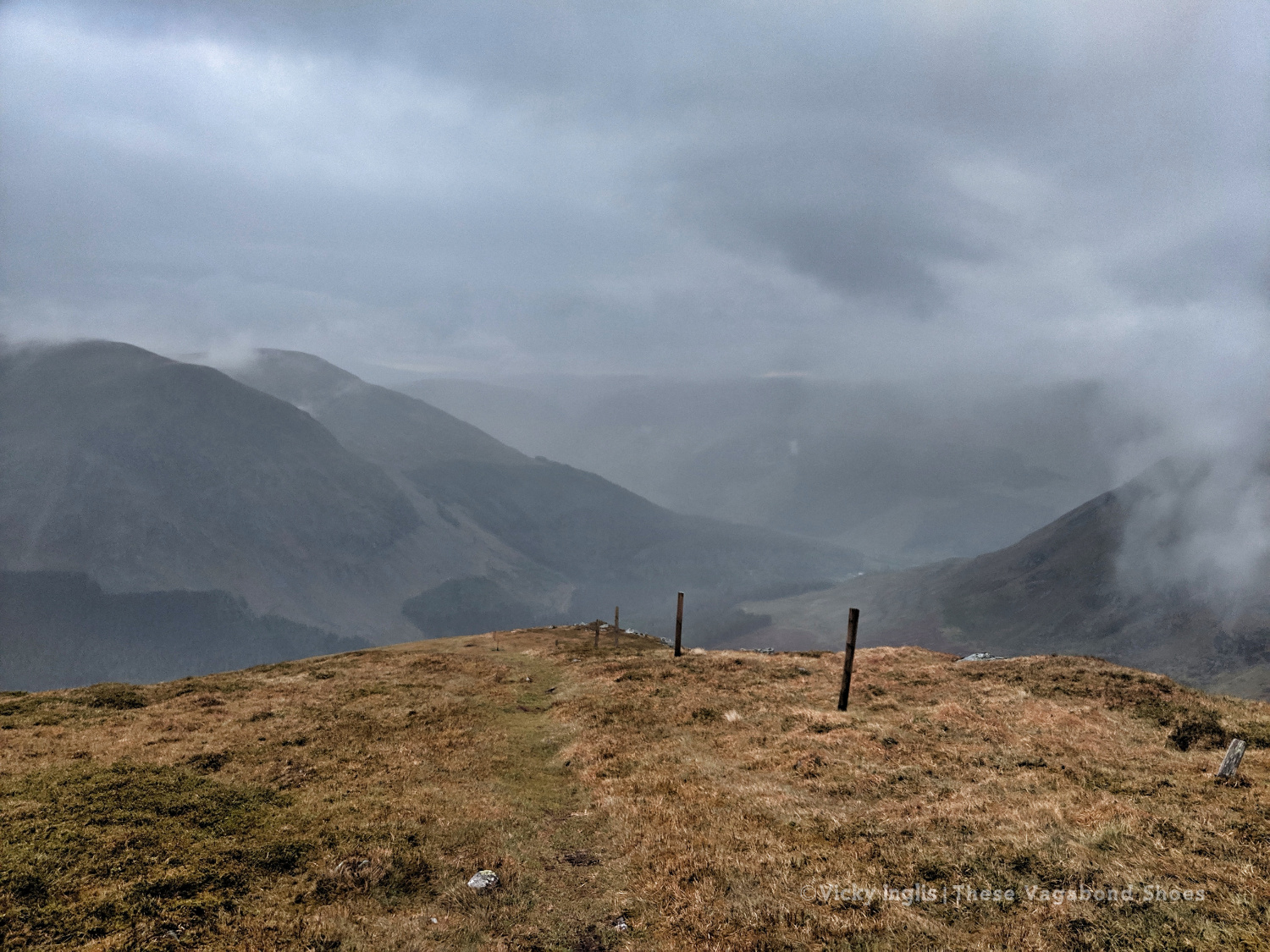
I rolled reluctantly out of bed and started packing the tent away slowly. My intended route for the day was another high one, climbing up from Glen Doll to White Bents and Boustie Ley, then picking up the track above Loch Brandy to head over to Tarfside. But no amount of coffee was giving me the motivation to attempt it, especially as the glowering low cloud was still obscuring the tops.
Finally ready to go, after chatting to a conservation team preparing pack horses for heading up to work on Davy’s Bourach, I set off along the road towards the Clova Hotel. I’ve walked this road a few times, and head down, powering along is the only way. I was reliving memories of my Silver Duke of Edinburgh expedition, and the oppressive clouds started to lift. It might be ok after all.
It wasn’t. About 200 metres shy of the Clova Hotel, the clouds burst and I was nearly soaked through before I could get my waterproofs on. I stepped up my pace, and through the mirk, saw a wonderful sight. John was standing in the road with a golf umbrella, having reached the end of his road trip, decided to come and check up on how I was doing.
Whisked off for a huge pancake breakfast and more coffee at Peggy Scott’s in Finavon, I checked the weather forecast. While the coast was going to be dry and sunny, the heavy rain was slowly creeping across the glens for the rest of the day, a big blue dot sitting directly over the Mounth. As I still had a day in hand to finish the challenge, I called it and decided to bail out the rest of the day and continue the following morning.
Read the next instalment of my TGO journal here, and catch up on the previous entry here.
You could walk for 500 miles, and then you would walk for 500 more. That’s just how beautiful Scotland is. Sweeping, wide-open moors, historic castles, picturesque lochs, ancient forests, and craggy mountains form the hauntingly beautiful backdrop for some of the finest long-distance walks in the UK.
But enough havering; Scotland’s long-distance routes are a fantastic way to get outdoors, and explore some of the country’s most spectacular landscapes on foot. Not only that you’ll also be treated to close encounters with nature, the freshest air, and the freedom that comes with being out in wild and remote areas.
Just because these routes take multiple days to complete, don’t be put off by the thought of not having enough time. The trails don’t have to be completed in one go and can be broken down into bite-sized chunks to fit into weekends and single days that are just as enjoyable.
Here are, in my opinion, the greatest of the long-distance trails in Scotland. The routes vary greatly in character, from waymarked cross-country trails like the ever-popular West Highland Way to unofficial, often pathless, challenges aimed at experienced backpackers, like the Cape Wrath Trail.
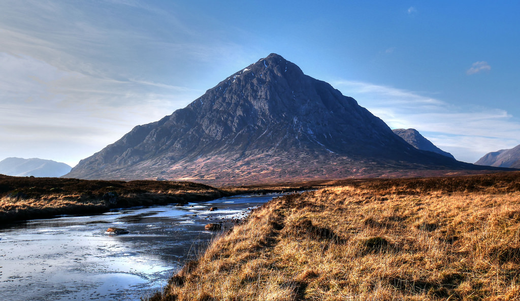
Buachaille Etive Mòr, at the head of Glen Etive, has one of the most distinctive mountain profiles in Scotland. Photo Credit: Phelan Goodman Flickr on cc